BOU AVENUE
Cinderella
On 25 September 2022, Kevin Caron, Chester Fitchett, Witek Strzelecki, Marta Wojnarowska, Zosia Zgolak and I did an exploratory hike from Canmore--Three Sisters Mountain Village to be exact--toward Three Sisters Pass in Alberta's Bow Valley Wildland Provincial Park.  This trip largely came about as a suggestion by Witek who is a local resident.  Three Sisters Pass is usually accessed from the Smith-Dorrien/Spray Lakes road to the west as described in Gillean Daffern's Kananaskis Country Trail Guide, but the approach from the Canmore side is not as popular or well-documented even though a marked route exists on most online maps.  A lower starting elevation and lack of a good trail beyond Three Sisters Creek makes this approach less appealing, but our group was up for a good challenge on this day.

Kevin, Chester, Witek, Marta, Zosia and I began our hike from Witek's home in Three Sisters Mountain Village.  We walked to the intersection of Hubman Landing and Three Sisters Boulevard and followed signs for Highline Trail which, via a legal easement, cuts across private land originally earmarked for the now-abandoned Three Sisters Golf Course development.  We followed Highline Trail across Three Sisters Creek and eventually reached a junction with one of the access trails for Grassi Knob.  Turning left, we hiked about 300 metres to the turnoff for Grassi Knob, but instead of taking it, we stepped over some branches laid across the left-hand trail and reached another junction only 80 metres further.  This time, we took the right-hand trail which heads up Three Sisters Creek valley.  About 875 metres past this last junction, we all missed an important turnoff where the correct trail rises steeply to the right.  Instead, we continued on the left-hand trail until it began to descend into a tangle of toothpick deadfall.  Suspecting that we were off-route, we backtracked slightly before going off-trail and climbing uphill until we intersected the correct trail.  About 500 metres from the missed turnoff, the trail drops down to cross a major drainage and immediately climbs up the far bank to a T-junction of sorts.  Here, we made the mistake of turning right (uphill) but soon realized that we were once again off-route.  We then promptly returned to the T-junction and took the left-hand trail which goes downhill all the way into Three Sisters Creek.  After stopping for a short break here, we hiked up the dry creek bed and utilized sporadic trails on the embankments to alleviate some of the tedium of rock-hopping.  We made our third route-finding error of the day when we missed a narrow side drainage branching off to the west about 575 metres upstream of where we dropped into Three Sisters Creek.  Once again, we backtracked to correct our course.  The side drainage was initially straightforward to ascend, but it became increasingly difficult to navigate as we climbed higher.  Thick bush and waterworn rocks forced us to make several detours usually to climber's right.  Where the side drainage begins to bend to the north at roughly an elevation of 2060 metres, we left it and turned south to thrash through a short stretch of forest before emerging onto a semi-open avalanche slope.  At this point, Chester had some back issues and opted to stay put while the rest of us continued to climb southward up the avalanche slope.  Other than finding a few odd items--a working headlamp, a can of bear spray, and a bottle of eye drops--in some bushes along the way, we had no further drama in reaching an open high point of sorts just short of Three Sisters Pass.

From the high point, Kevin, Witek, Marta, Zosia and I could see a feasible route leading to Three Sisters Pass which was only a short distance away, but considering the lateness of the day and our growing fatigue, we decided to forego this last section since it entails an unappealing loss of elevation that we would have had to regain on the way back.  Instead, we turned to the northeast and descended to a lower rocky prominence which some of us whimsically referred to as "Cinderella" since it is overshadowed by The Three Sisters (loosely standing in for Cinderella's wicked stepmother and ugly stepsisters).  We took a short break here before dropping back down to the avalanche slope and reuniting with Chester.  Together, we pretty much backed out the way we came with only minor route variations and minimal grief.  When we finally made it back to Three Sisters Mountain Village, Witek graciously invited us all into his home and generously offered us some celebratory refreshments.  Thank you, Witek!
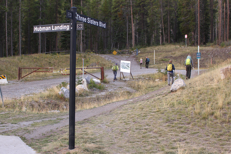
Sign, sign, everywhere a sign!

The eastern access to the Highline Trail starts from this road intersection.

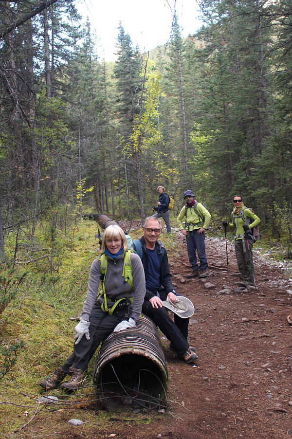
Actually, I think this is what's left of the Keystone XL pipeline!

The group checks out an abandoned flume along the trail which parallels Three Sisters Creek.

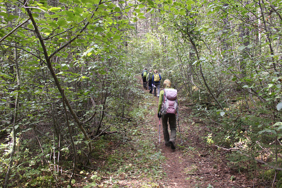
Even suitable for mountain bikes! The trail going up Three Sisters Creek valley is initially well-defined and easy to hike.
Keep an eye out for an important junction coming up here!

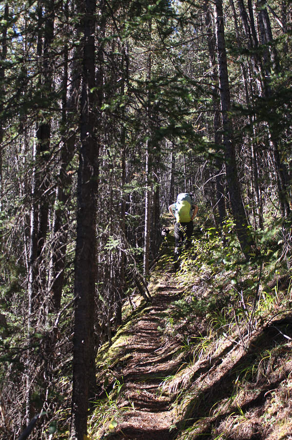
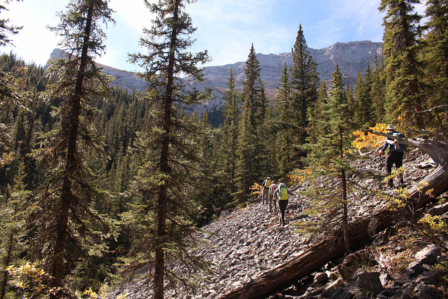
Further up the valley, the trail becomes narrower and less inviting.

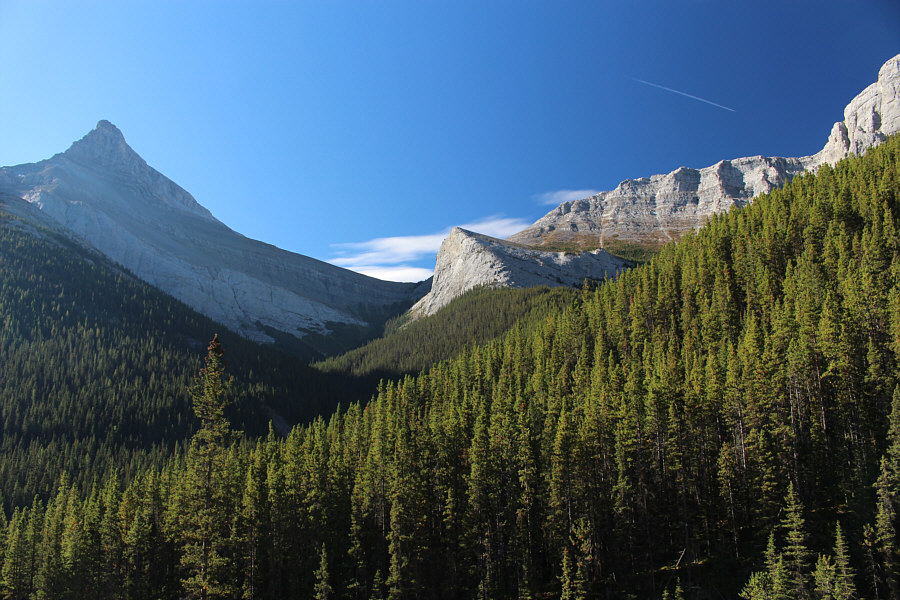
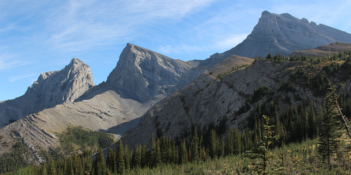
Hey, if Ship's Prow is a summit, why not Cinderella?? A clearing along the trail grants this view of Big Sister (far left), Three Sisters Pass (centre), and a rocky prominence (right of centre) which has been accorded the whimsical but unofficial name, "Cinderella".
In the trees on the other side, be sure to turn left and DESCEND into Three Sisters Creek.

The trail drops down here to cross an obvious drainage before climbing briefly into the forest on the other side.

Stay alert here and look for a hidden drainage branching off to the right.

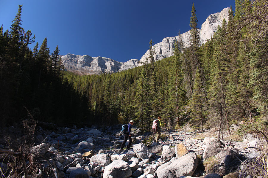
Witek and Zosia make their way up Three Sisters Creek which is completely dry at this point.

This was after our third route-finding error of the day! The group scrambles up a narrower side drainage which is easy to miss.

Photo courtesy of Zosia Zgolak

Nothing comes easy on this route!

The group temporarily climbs high above the side drainage in search of easier terrain to navigate.

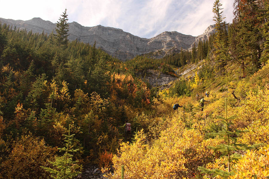
It seemed like we would never escape all this vegetation. The side drainage becomes somewhat bushy higher up.
Maybe okay going up here, but definitely not a good way to descend!

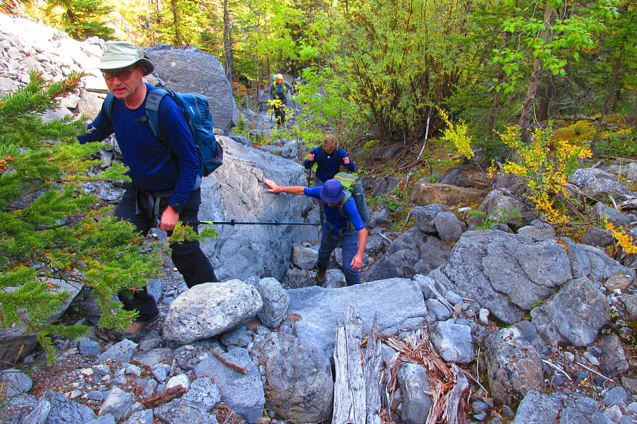
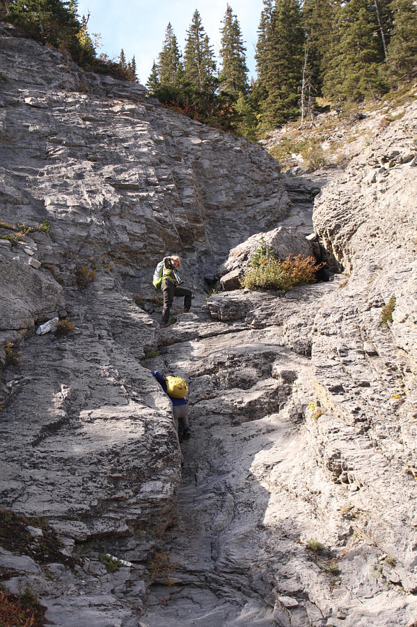
The waterworn rock in this part of the drainage is challenging to ascend but can be bypassed to climber's right.

You can even spot our highest point reached for the day at far right.

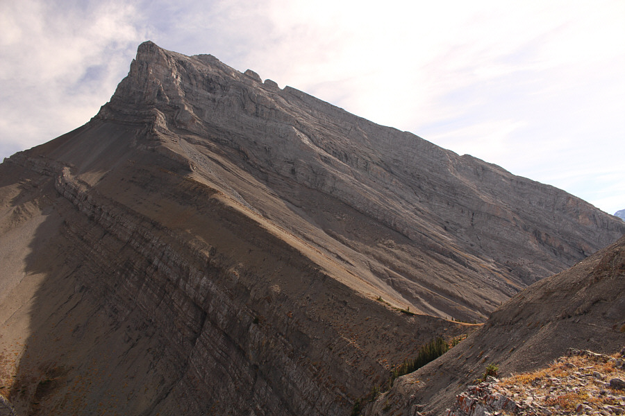
A semi-open avalanche slope grants this view of Little Sister, Middle Sister and Big Sister.  Cinderella is the sunny knob below and slightly left of Big Sister.
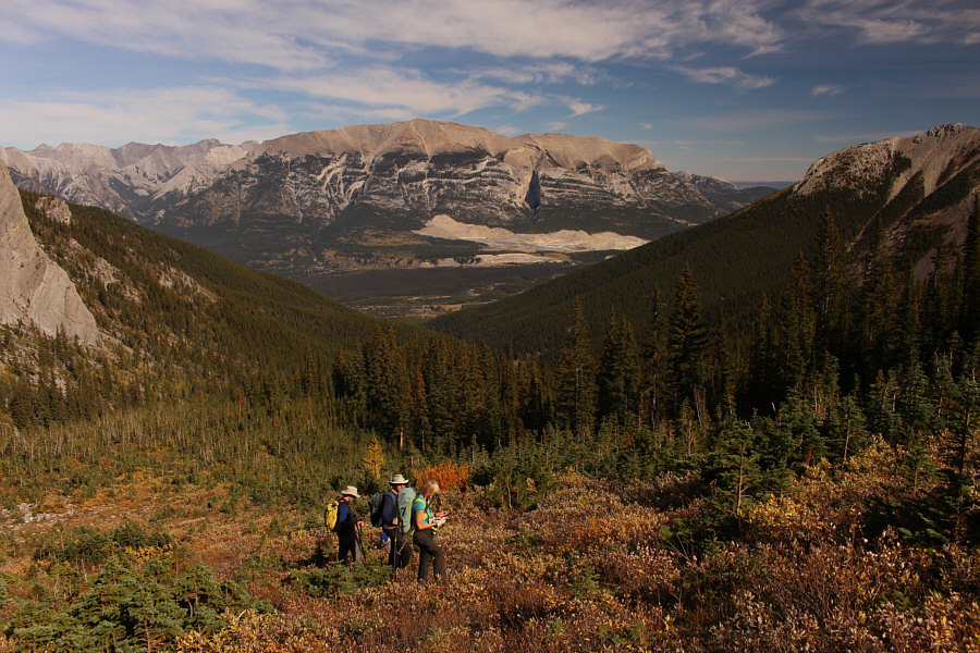
 

This was good enough for Chester who did not climb any further.

This is looking back down Three Sisters Creek valley with Grotto Mountain in the distance.

That was a LOT of effort to get here! With Big Sister in the background, Kevin makes his way up to what would be the highest point reached on this day (right of centre).
We could see people at the summit of Big Sister; I wonder if they saw us...

Here is a view of Big Sister and Three Sisters Pass from the highest point (2304 metres) reached for the day.

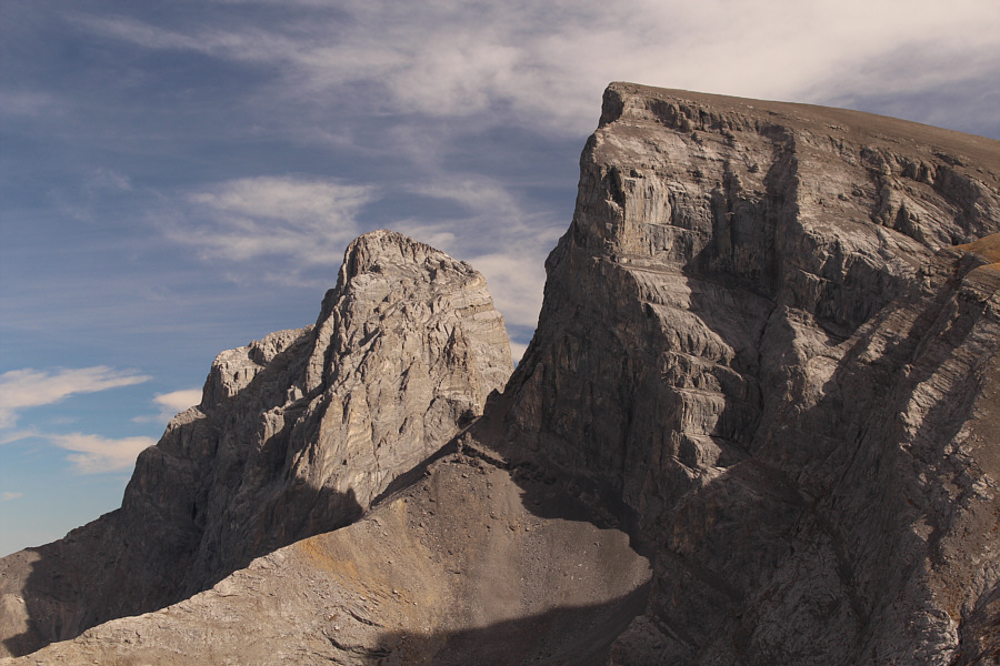
The ugly stepsisters! Here is a closer look at Little Sister and Middle Sister.
Meh...passes are passé!

Marta, Kevin and Witek forego visiting Three Sisters Pass (far left).

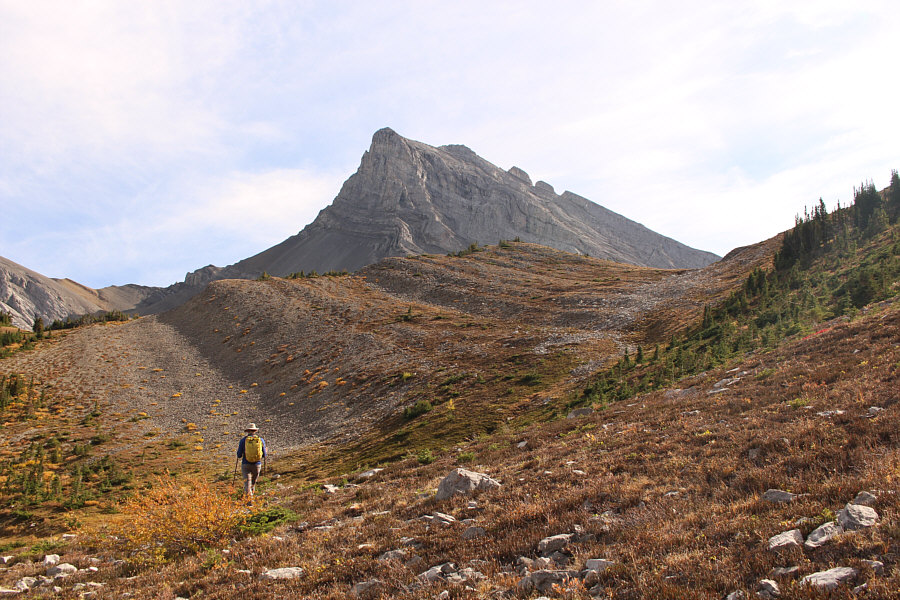
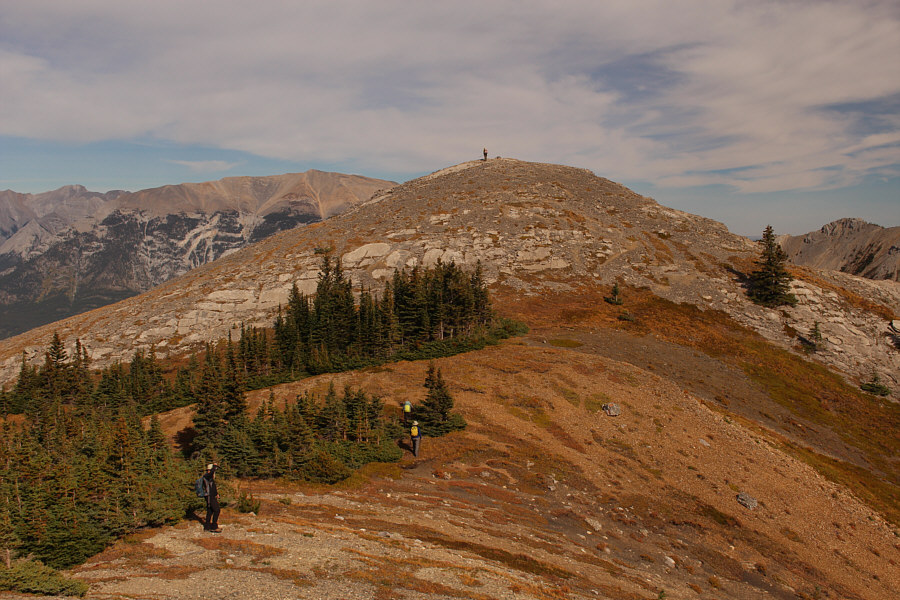
Certainly looks like a summit from this angle!

Witek, Marta and Kevin easily follow Zosia to the top of Cinderella.

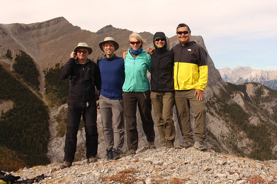
Da belle of da ball! Witek, Kevin, Marta, Zosia and Sonny stand on top of Cinderella (2272 metres).
Need to get down before we turn into pumpkins!

Witek, Marta, Kevin and Zosia leave the top of Cinderella.

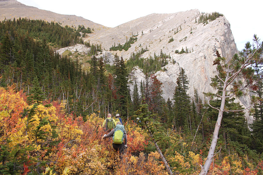
A pretty bushwhack! The group makes its way through colourful bush to get back to the side drainage.
Probably too far off the beaten track for most rock climbers.

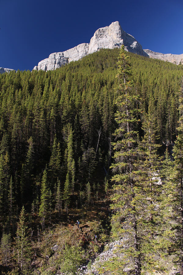
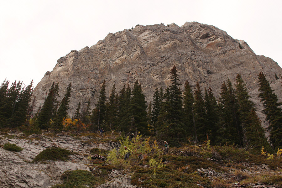
Bypassing the waterworn section of the drainage, the group descends steep terrain below some impressive cliffs.

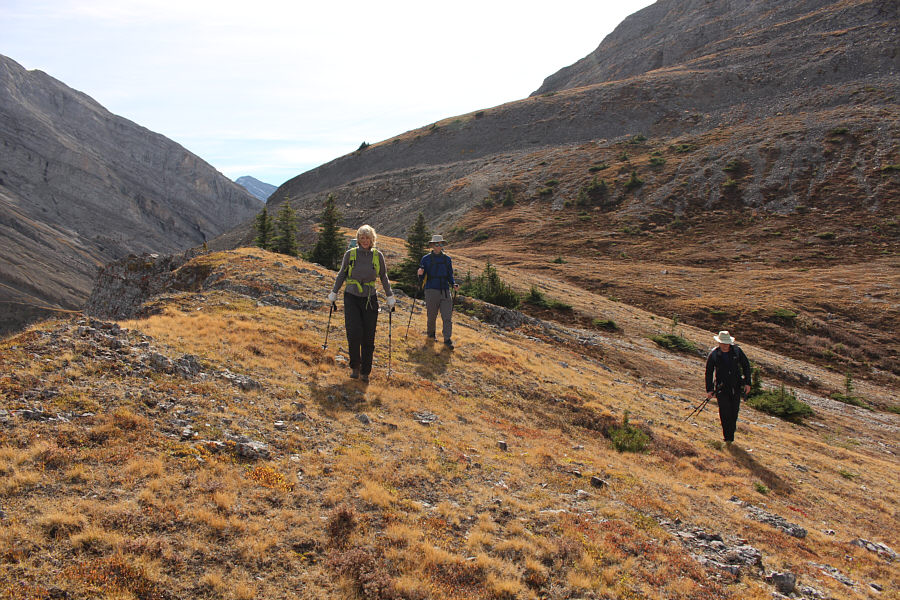
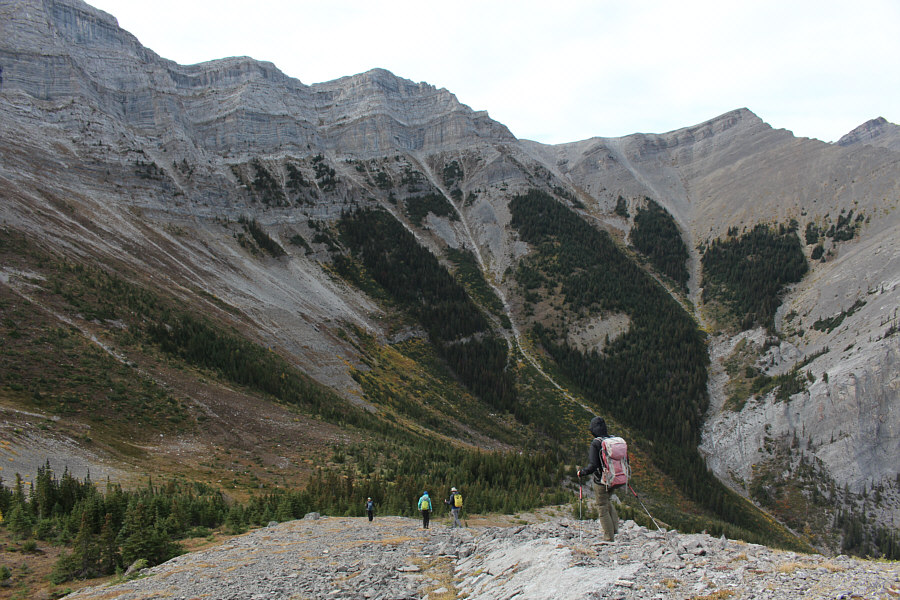
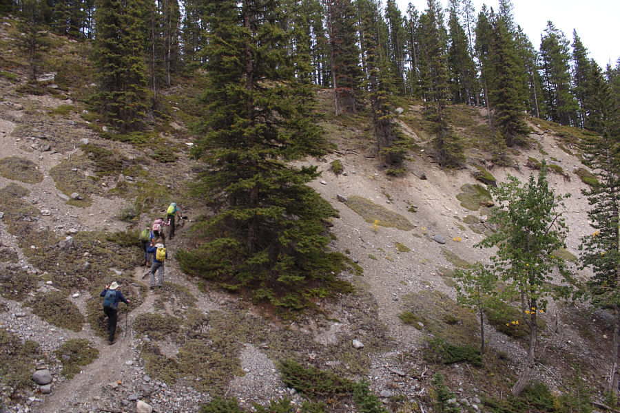
We could have climbed loftier peaks with less effort! The group climbs the last uphill section of the day on the way out.
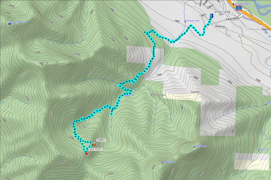
A longer and more arduous approach to Three Sisters Pass than the normal way from Spray Lakes. Total Distance:  18.6 kilometres
Round-Trip Time:  10 hours
Cumulative Elevation Gain:  1318 metres

GPX Data