BOU AVENUE
Plateau Mountain North End
Zosia Zgolak and I hiked up the north end of Plateau Mountain in Alberta's Cataract Creek Snow Vehicle Public Land Use Zone on 18 June 2022.  We used Bob Spirko's 2006 trip report as our reference although he does not exactly make the hike sound that appealing when he says "we bushwhacked for two hours without views"!  Complicating matters was a recent heavy dump of precipitation in the mountains.  On our drive to the trailhead, we noticed a lot of fresh snow at higher elevations, but we were unsure if this was significant enough to affect our trip.  Regardless, we were anticipating high water levels, and as such, we opted to take a slightly different approach than the one Spirko describes.

Starting from the day use area on the west side of the Forestry Trunk Road (SR 940; 13.3 kilometres south of Highwood Junction), Zosia and I walked eastward along the turnoff to Cataract Creek campground for about 100 metres before veering right onto a logging road.  We soon passed a locked gate restricting motorized access and continued for a couple hundred metres to a switchback in the road.  Instead of following the switchback, we left the logging road here and headed eastward along a skid road.  A side creek crosses the skid road about 600 metres east of the junction with the logging road, and on this day, the creek was a bit too deep and wide to rock-hop.  While I managed to walk over on a wobbly downed tree, Zosia chose to remove her footwear and brave the chilly waters.  About a hundred metres beyond the side creek, we entered a large slash and muddled through tedious logging debris until we picked up an old road running along the south bank of Salter Creek.  We followed this old road to where it was completely flooded by braided channels near the confluence between Salter Creek and Plateau Creek.  The braided channels made crossing Plateau Creek a lot more complicated than the earlier side creek, and we had to thrash our way upstream until we found a feasible and safe place to cross.  Immediately after crossing Plateau Creek, we climbed up a steep embankment to gain the crest of a forested ridge which eventually leads to the north end of Plateau Mountain.  The bushwhacking on the ridge was actually not that bad overall, and we even found enjoyable hiking with decent views on some south-facing bluffs about a third of the way up.  However, we encountered more snow the higher we climbed, and just as we had feared, this fresh accumulation was significant enough to hamper our progress.  Three hours after we started grinding up the ridge, we both breathed a big sigh of relief when we finally cleared the trees for good and plodded up to a cairn marking the high point of Plateau Mountain's north end.

While Spirko and his partner had wandered further south to search for a cave on their trip, Zosia and I were both content to relax on the high point and enjoy a well-deserved break.  Once we had our fill of panoramic views, we retraced our steps back into the forest and partway down the ridge we came up.  At the aforementioned south-facing bluffs, we abandoned the forested ridge crest and tried to descend as much as possible along the grassy tops of the bluffs.  We were inevitably forced back into the forest, and although descending here was initially not bad, we still ended up doing a fair bit of thrashing and sidehill bashing to get back to where we crossed Plateau Creek.  Upon regaining the old road along the south bank of Salter Creek, we easily backtracked to the first side creek, and after re-crossing it, we had no further issues hiking back to the day use area.
I took the one less traveled by, And that has made all the difference.

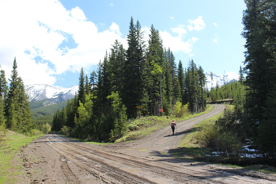
Zosia turns right onto a logging road.  The road to the left leads to Cataract Creek campground.

Lots of grief between here and there...

The north end of Plateau Mountain is visible in the distance from this skid road.

Actually, I was able to walk across the log behind her with the help of my hiking poles. 
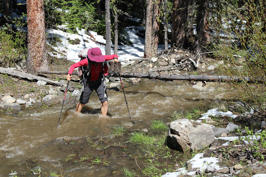
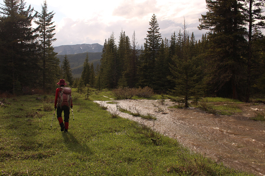
Zosia fords an unnamed side creek early in the trip.
Zosia is the dead-thing finder!

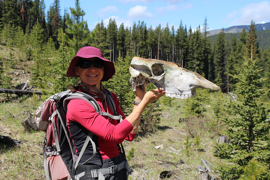
Zosia finds a cattle skull.

The slash can be rather tedious to walk through.

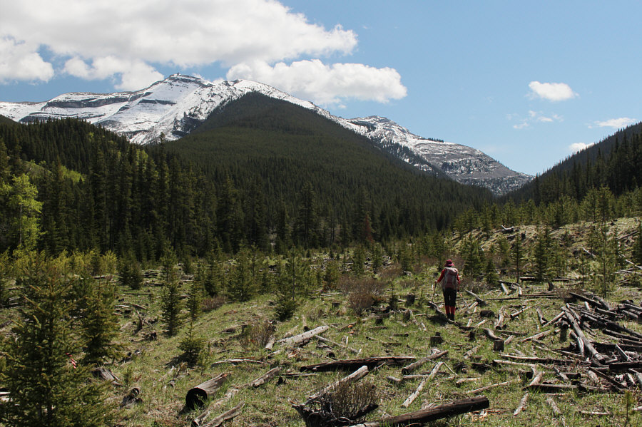
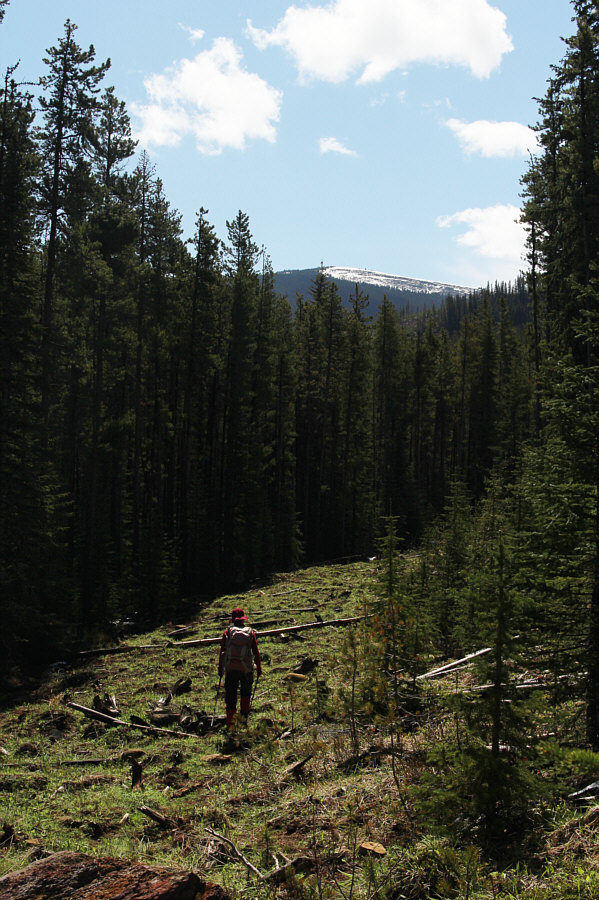
Zosia walks through a slash along the south bank of Salter Creek.  At left is Mount Burke while the ridge leading to the north end of Plateau Mountain is at far right.

Who knows how long this log will remain here? 
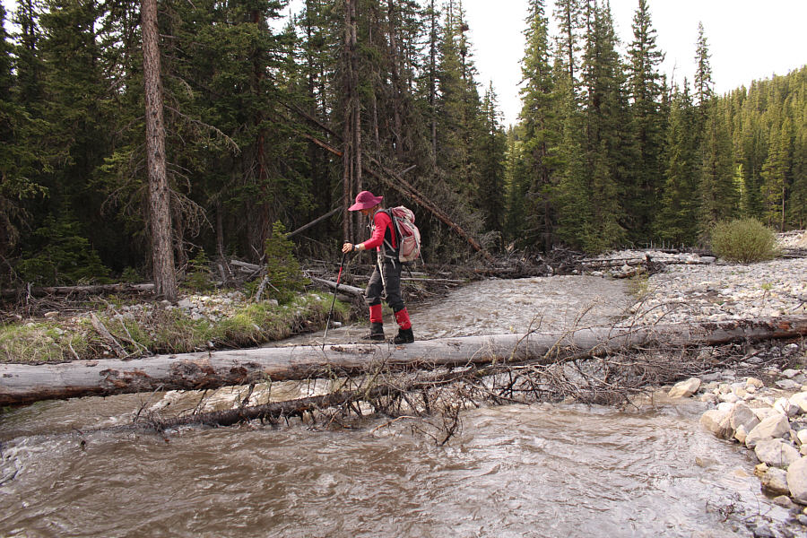
Zosia fortuitously finds a downed log to cross Plateau Creek.
Bob said, "we bushwhacked for two hours without views"...yup! 
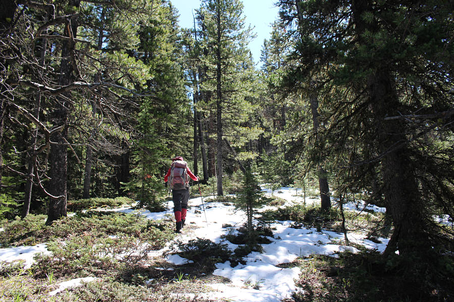
Zosia hikes up the ridge leading to the north end of Plateau Mountain.
The red eyebrows always make these birds look angry! A male spruce grouse watches warily from its perch on a tree branch.
The ridge isn't so mundane after all! 
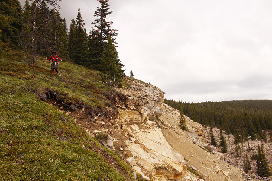
Zosia enjoys hiking along the top of some bluffs partway up the ridge.

Can you spot Cornea Ridge?

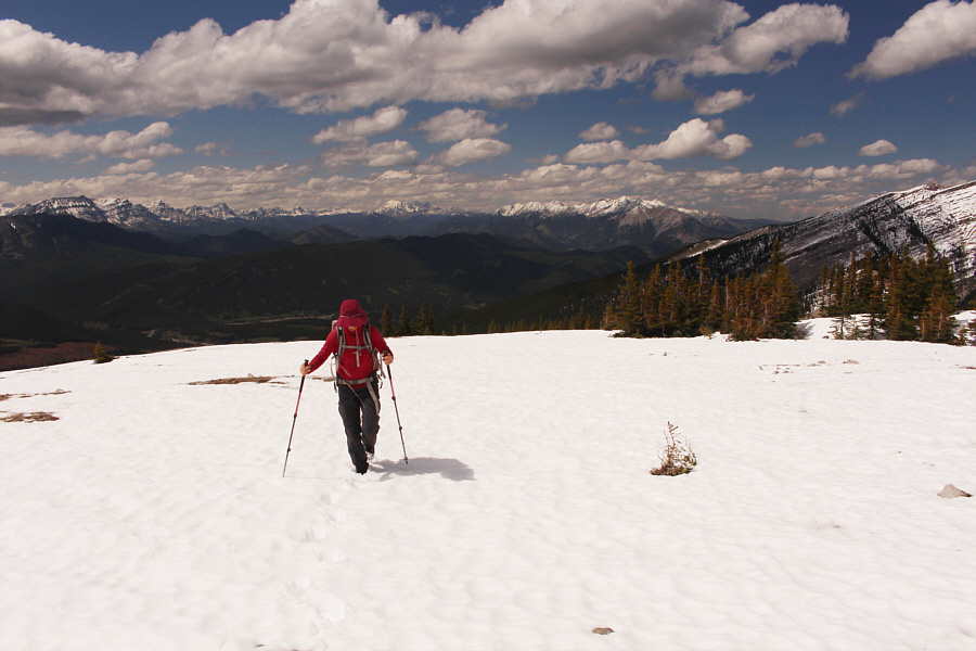
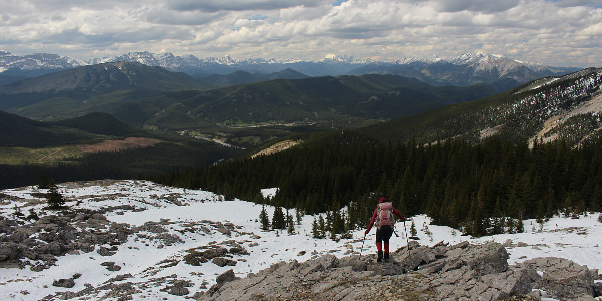
Above tree line, there is a better view to the west of some peaks along the Continental Divide.


Arguably the most popular hiking objective in this area.

Mount Burke dominates the view to the north.


Great views, but was it worth it?

Zosia takes the last few steps before reaching the north end of Plateau Mountain. 

Did you know that Plateau Mountain is a nunatak? 
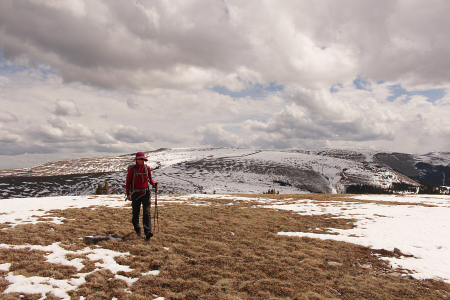
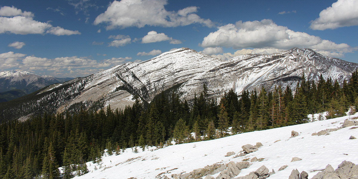
The rest of Plateau Mountain sprawls across the southern horizon.
Our "reds" kinda clash! 
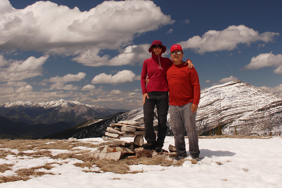
Zosia and Sonny stand atop the north end of Plateau Mountain (2309 metres).
Deserves more visits than it probably gets... 
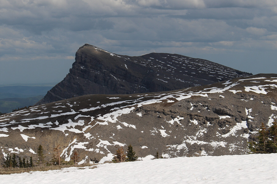
Visible to the east is Sentinel Peak.

The views were admittedly great while they lasted!

Here is a last look to the northwest just before Zosia plunges back into the forest below.


It might have been easier to stay on the viewless ridge crest... Zosia carefully descends along the top of the same bluffs she passed on the way up.
These flowers always look like they should be able to eat bugs! 
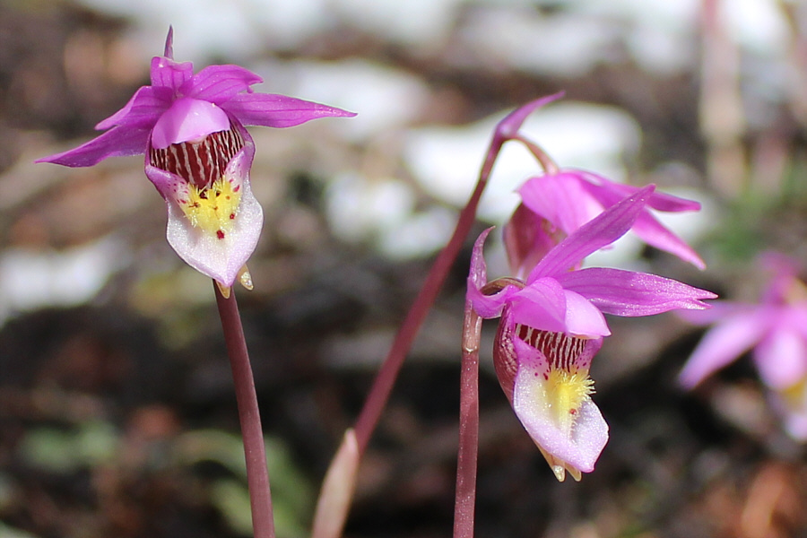
Some calypso orchids catch a bit of sunshine filtering through the forest canopy.
It's a good thing the log didn't get washed away! Zosia re-crosses Plateau Creek on the same log as before.  Note that another tree has since become stuck against this log.
I guess this helps to sweep all the cow dung into Salter Creek... Zosia skirts around the flooded section of an old road near the confluence of Salter Creek and Plateau Creek.
Zosia just loves to get her feet wet! Zosia fords the unnamed side creek for a second time.
Looks like rain is iminent... 
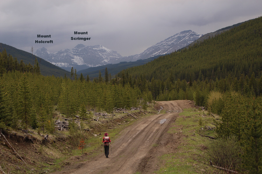
Zosia gets a glimpse of a couple more peaks along the Continental Divide as she returns along the original logging road.
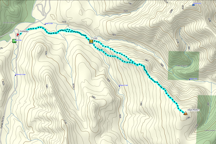
A much more arduous trip when rivers are high and significant snow is present. Total Distance:  13.0 kilometres
Round-Trip Time:  8 hours 23 minutes
Net Elevation Gain:  653 metres

GPX Data