BOU AVENUE
Lone Peak
Wrapping up the holiday long weekend, Leslie Pryslak,
Zosia Zgolak and I ascended Lone Peak near Fort Steele, British Columbia
on 3 July 2023. An exploration road runs nearly to the top and
offers an easy albeit somewhat mundane approach. Although
overshadowed by nearby loftier mountains, Lone Peak is nevertheless an
officially-named summit, and the easy access allows for a quick and
uncomplicated workout if time is too short for a more committing trip.
From the junction with Highway 93/95 at
Fort Steele (Esso gas station), drive eastward on Wardner Fort Steele
Road for 3.1 kilometres and turn left onto gravel Maygard Road.
Drive 1.0 kilometre and turn right onto Maus Creek Road. Drive 1.9
kilometres and keep straight (left) at a Y-junction. Drive 1.4
kilometres and keep left at another split. Drive 450 metres and
ignore a double-track merging from the right. Drive 3.3 kilometres
to where an exploration road branches off to the right. Park here, or
drive up the exploration road as far as comfort allows. In dry
conditions, the drive to the start of the exploration road should be suitable for 2WD vehicles, but
high clearance is still recommended beyond the first Y-junction.
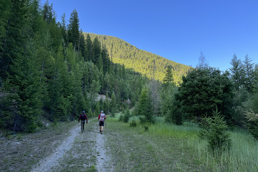
While I likely could have continued
driving quite far up the exploration road, Leslie, Zosia and I were just
as happy to walk given the shortness of this trip. The exploration
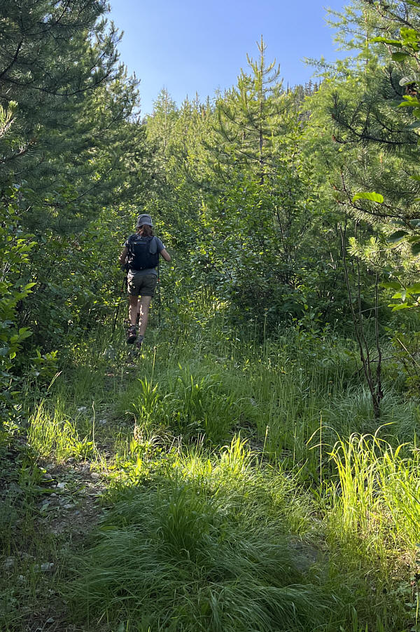
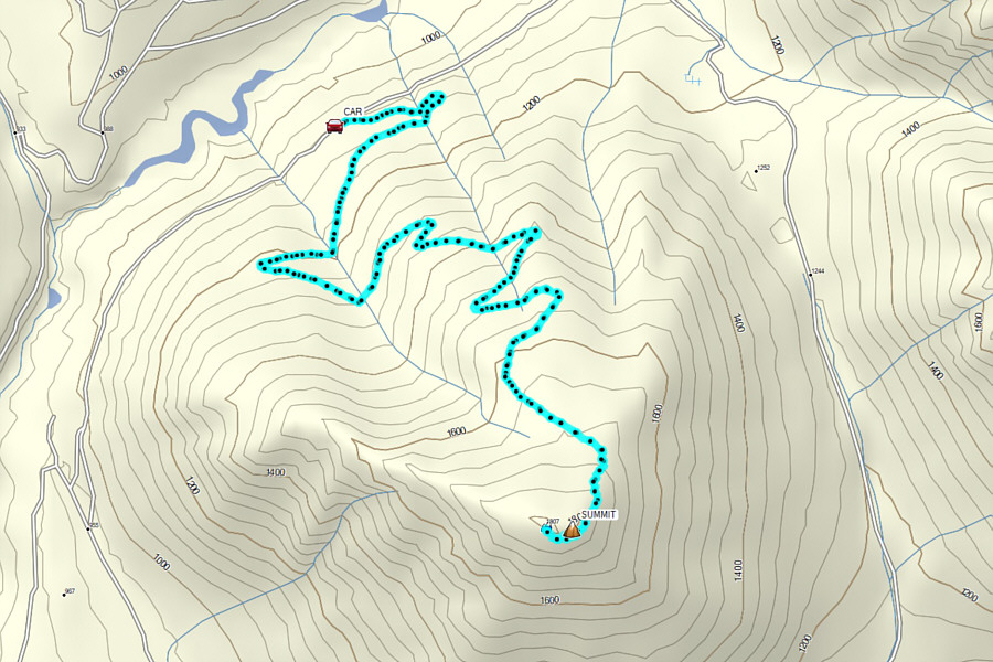
road climbs at a gentle but steady rate and makes several long, sweeping
switchbacks up the north side of Lone Peak. Other than swatting
aside the occasional encroaching tree branch, we had no difficulties
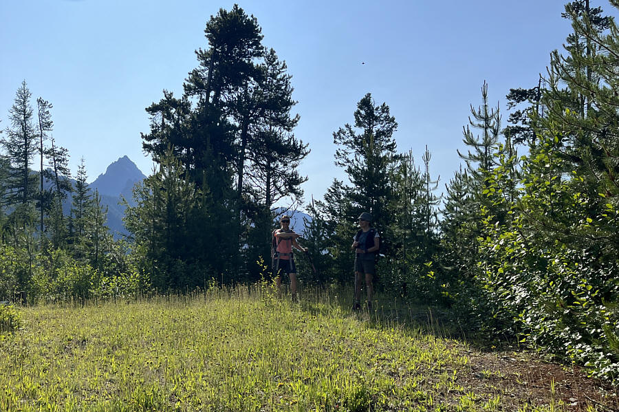
ascending the road. The road ultimately crests the northeast ridge
of Lone Peak at a clearing about 100 metres below the summit.
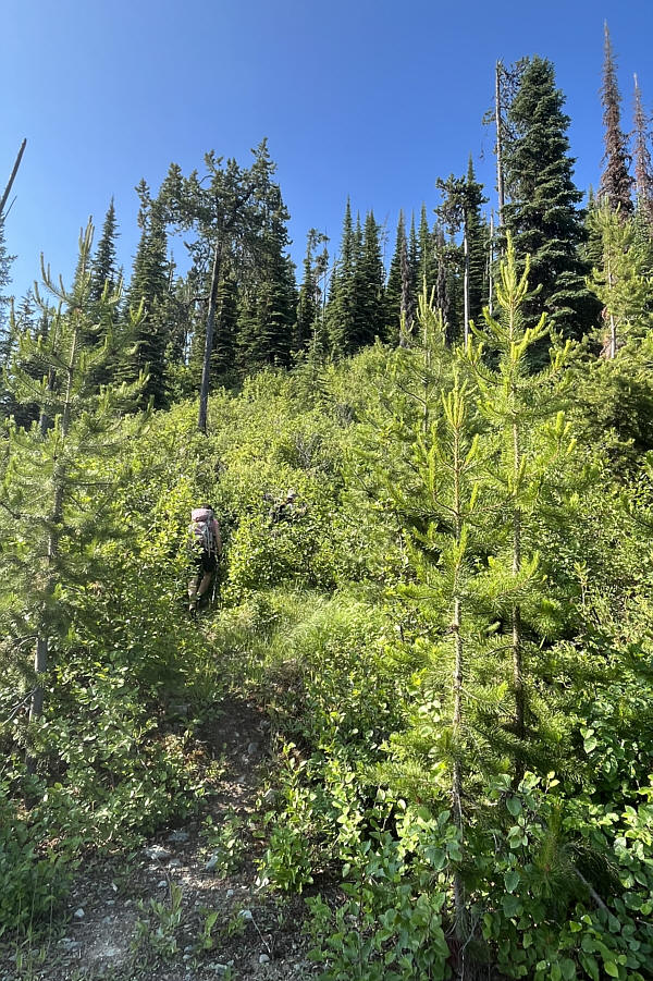
Instead of following the reclaimed road which begins to descend beyond
the clearing, we turned up a somewhat overgrown trail and climbed the
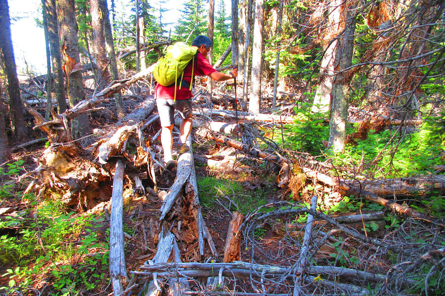
remaining distance to the top. The precise location of the actual
summit is a bit ambiguous since the top of Lone Peak is mostly covered by
trees and some rather heinous deadfall. We thrashed around as best
as we could in hopes of finding some sort of obvious summit marker, but
in the end, I basically eyeballed a few candidate spots--all
viewless--and recorded waypoints for later analysis. Once we had
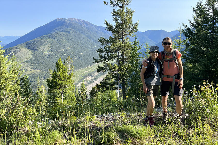
our fill of bushwhacking, we backtracked for a short distance to a
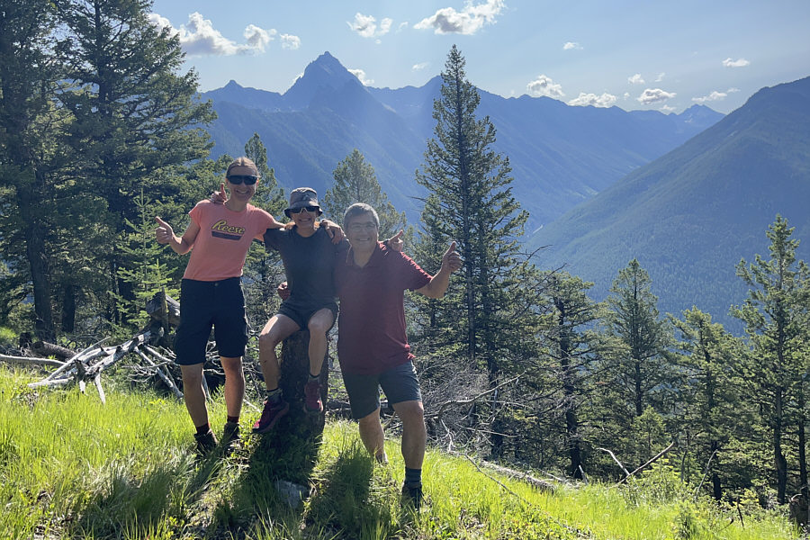
half-decent viewpoint we had passed earlier and stopped for a break.
For our return trip, Leslie, Zosia and I
simply retraced our steps down the trail and the exploration road without
any drama.
I want to give a big thank you to Leslie
and her boyfriend, Eric Boiral, for generously hosting Zosia and me over
the long weekend at their beautiful farm located on the outskirts of
Cranbrook. Be sure to check out their website,
We Be Farmin' BC.
