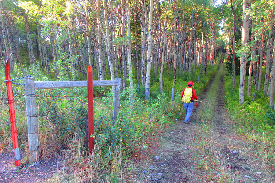
Sonny leaves the access road to follow a double-track through the forest.
Photo courtesy of Zosia Zgolak
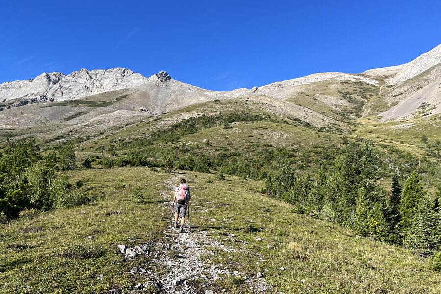
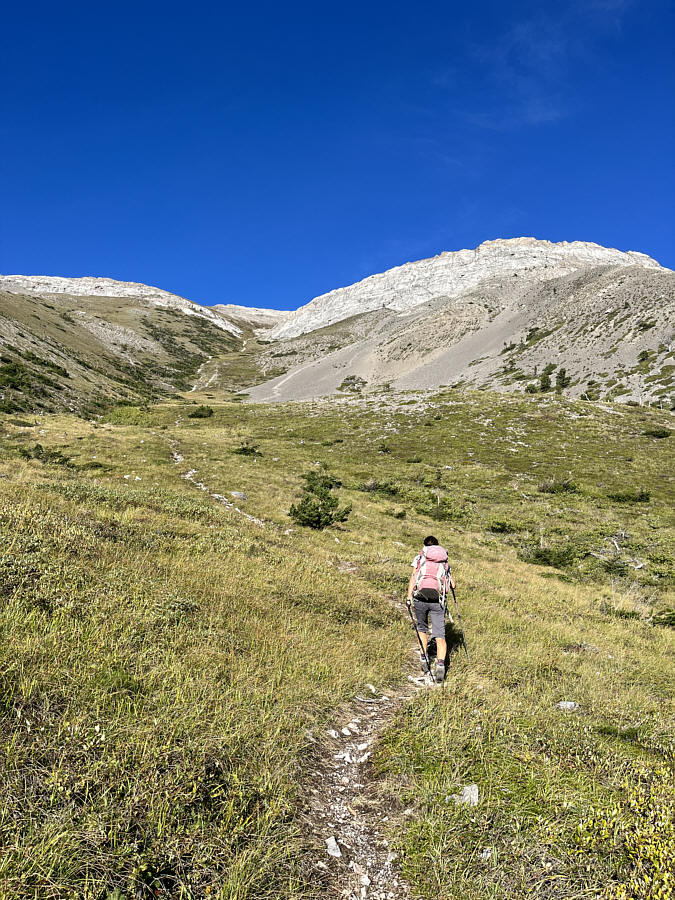
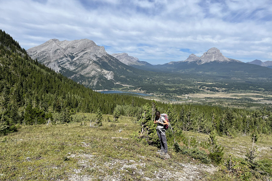
Zosia breaks out of the trees onto an open hill below Ostracized Peak.
|
|
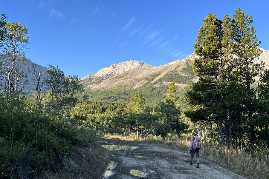
Ostracized Peak is visible in the distance as Zosia starts hiking along the access road. |
|
|
Sonny leaves the access road to follow a double-track through the forest. Photo courtesy of Zosia Zgolak |
|
|
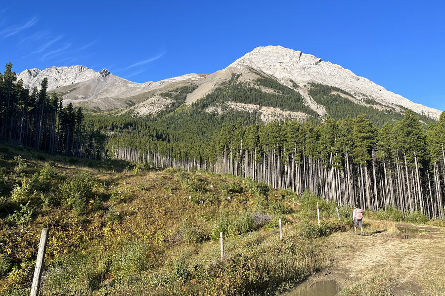
Zosia follows another road to the base of Ostracized Peak (far left) and Sentry Mountain (right). |
|
|
Zosia breaks out of the trees onto an open hill below Ostracized Peak. |
|
|
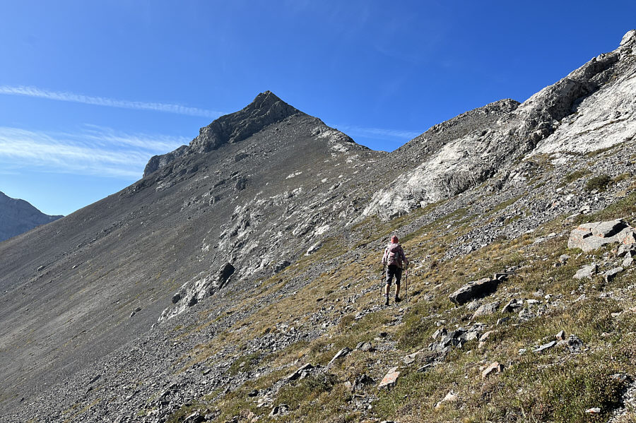
Zosia follows a steep trail up an obvious gully on the east side of Sentry Mountain. |

Here is a comprehensive view of the Crowsnest Pass region from partway up a grassy rib..
 |
Zosia traverses to climber's left to avoid some slabs guarding the connecting ridge between Ostracized Peak and Sentry Mountain (not visible here). |
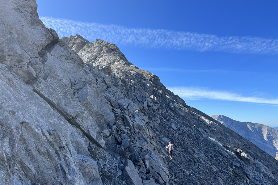 |
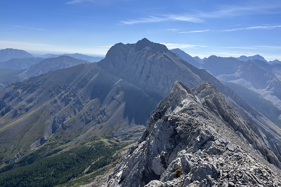
The north ridge of Ostracized Peak is quite rugged. |
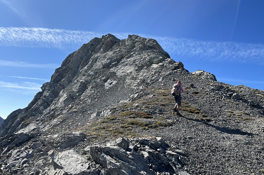 |
Good route-finding is necessary on the upper part of the north ridge. |
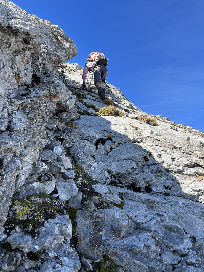 |
Zosia scrambles up a steep section on the ridge. |
 |
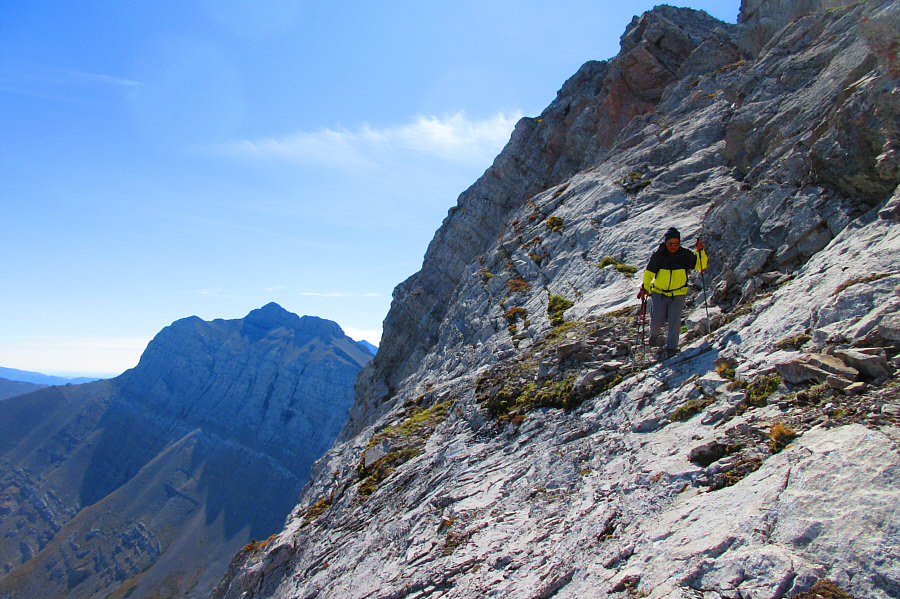
Zosia is off-route here and finds herself on some exposed down-sloping slabs. |
 |
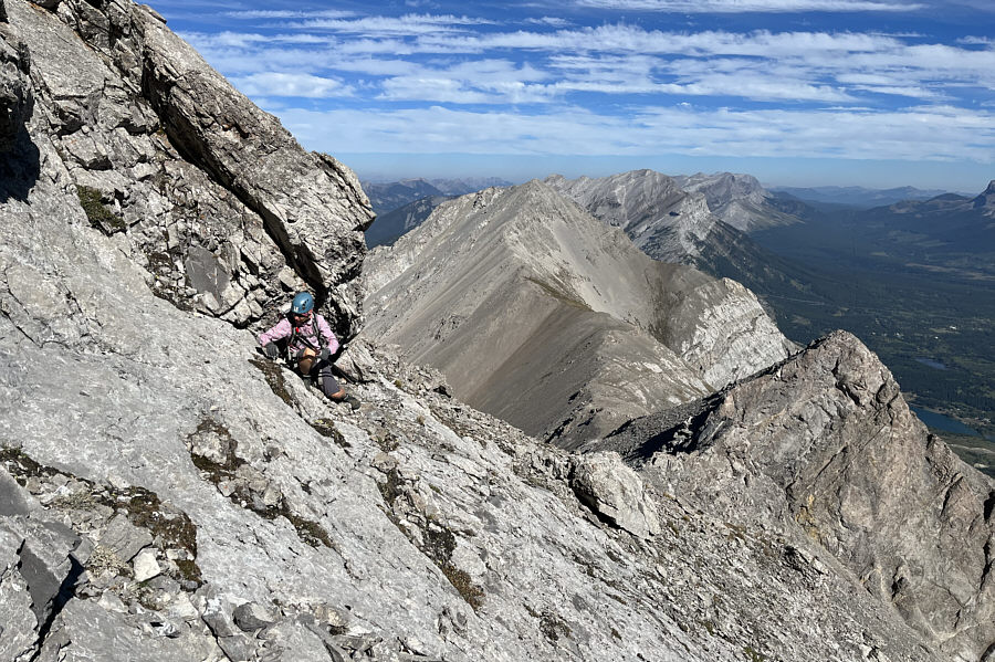
After ditching her hiking poles, Zosia tackles this section of the ridge with verve. |
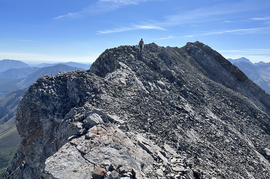 |
Past all difficulties, Zosia walks the last easy section before the summit. |
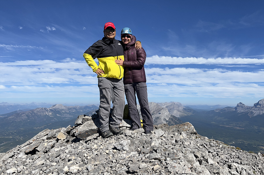 |
Sonny and Zosia stand on the summit of Ostracized Peak (2484 metres). |
 |
Chinook Peak dominates the view to the southeast. |

Directly to the south is Mount Ptolemy.
 |
Part of Crowsnest Lake can be seen to the north. At distant right are Seven Sisters Mountain and Crowsnest Mountain. |
 |
Sonny returns to the down-sloping
slabs to retrieve Zosia's hiking poles. Photo courtesy of Zosia Zgolak |
 |
Sentry Mountain is more distinctive here as Zosia descends the north ridge of Ostracized Peak. |
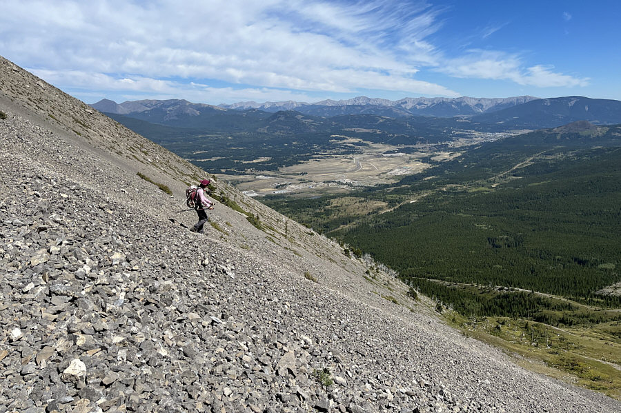 |
Zosia takes advantage of loose scree on the east side of Sentry Mountain to quickly lose elevation. |
 |
Zosia returns to the top of the open hill. Mount Tecumseh (left) is more discernible from here. |
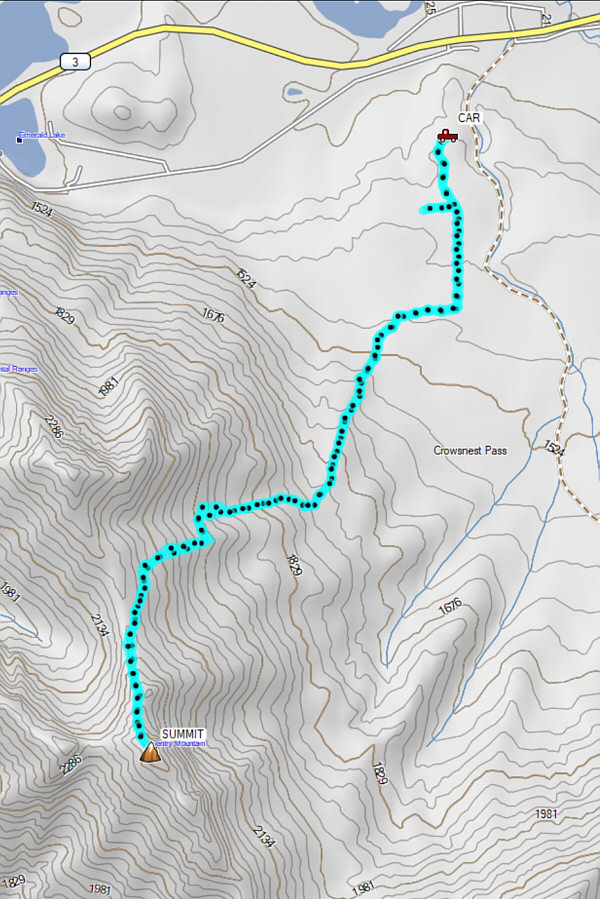 |
Total
Distance: 9.5 kilometres Round-Trip Time: 6 hours 31 minutes Cumulative Elevation Gain: 1033 metres |