BOU AVENUE
Shell Hill And Cox Hill
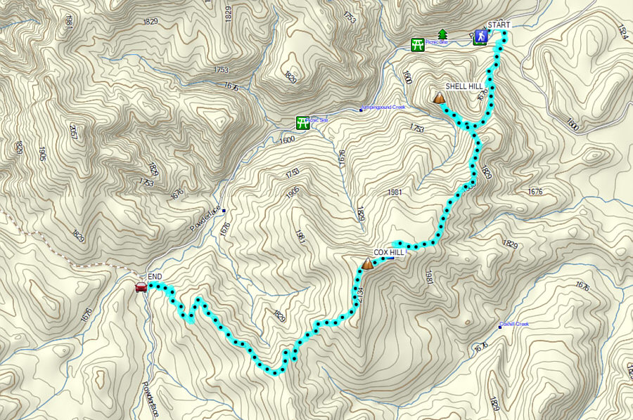
Aga Sokolowska, Zosia Zgolak and I hiked up Shell Hill and Cox Hill in Alberta's Kananaskis Country Public Land Use Zone on 14 October 2023.  Cox Hill is a classic front-range objective, and the route is well-described in Gillean Daffern's Kananaskis Country Trail Guide.  The unofficially-named Shell Hill--essentially the northern outlier of Cox Hill--seems to have gained some popularity in recent years, but the access is not so straightforward.  A number of trip reports for Shell Hill are available online, but the most helpful of these would be the one by Bob Spirko.  Since I had previously hiked Cox Hill as an out-and-back trip and so had Zosia on a separate trip, we convinced Aga to help set up a car shuttle in order to do a one-way traverse.

After we left my car at the Jumpingpound Ridge trailhead (50.986689, -114.955736), Aga drove Zosia and me to the trailhead at Dawson Provincial Recreation Area (51.023211, -114.881978) where we subsequently geared up and set off along the trail to Cox Hill.  Right off the bat, we kept left at a split--right is an equestrian trail.  After crossing a bridge over Jumpingpound Creek, we passed the equestrian trail cut-off and soon arrived at a signed T-junction.  Turning right, we began to climb steadily up the northeast ridge of Cox Hill.  About 2.4 kilometres from the trailhead, we veered off the trail to the right (westward) to access Shell Hill.  Aside from an easy-to-miss arrow carved into a tree, there was initially no indication of any human passage here, but we soon stumbled onto an intermittent beaten path which led us more or less to a saddle separating Shell Hill from Cox Hill.  The few rock bands on Shell Hill are easily avoidable, and we had no problems hiking up to the mostly forested high point.
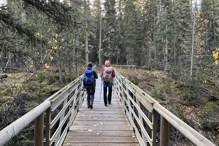
You know it will be a good hike when there is a bridge at the beginning!

Aga and Zosia cross a bridge over Jumpingpound Creek at the start of the hike.

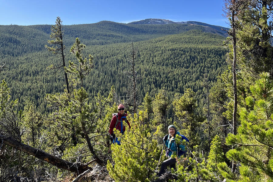
Oh great...another treed summit!

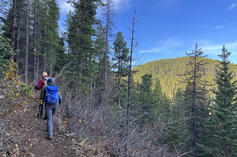
Shell Hill is visible at right as Zosia and Aga climb the trail to Cox Hill.

No biggie if you miss it or the hike to Shell Hill for that matter... This carved arrow is the only indicator for the start of the route to Shell Hill.
Would be tricky to follow if snow-covered.

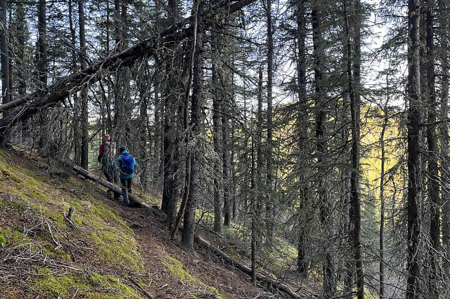
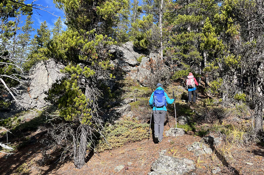
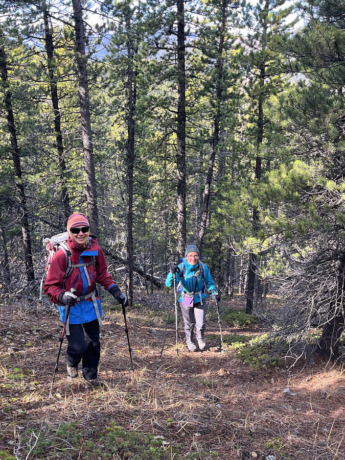
Zosia and Aga follow a beaten path across the forested slope.

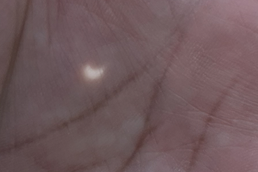
Warm-up for 8 April 2024! In his palm, Sonny demonstrates the partial coverage of the sun due to an annular eclipse on this day.
Optional scrambling? A few rock bands on Shell Hill are easily circumvented.
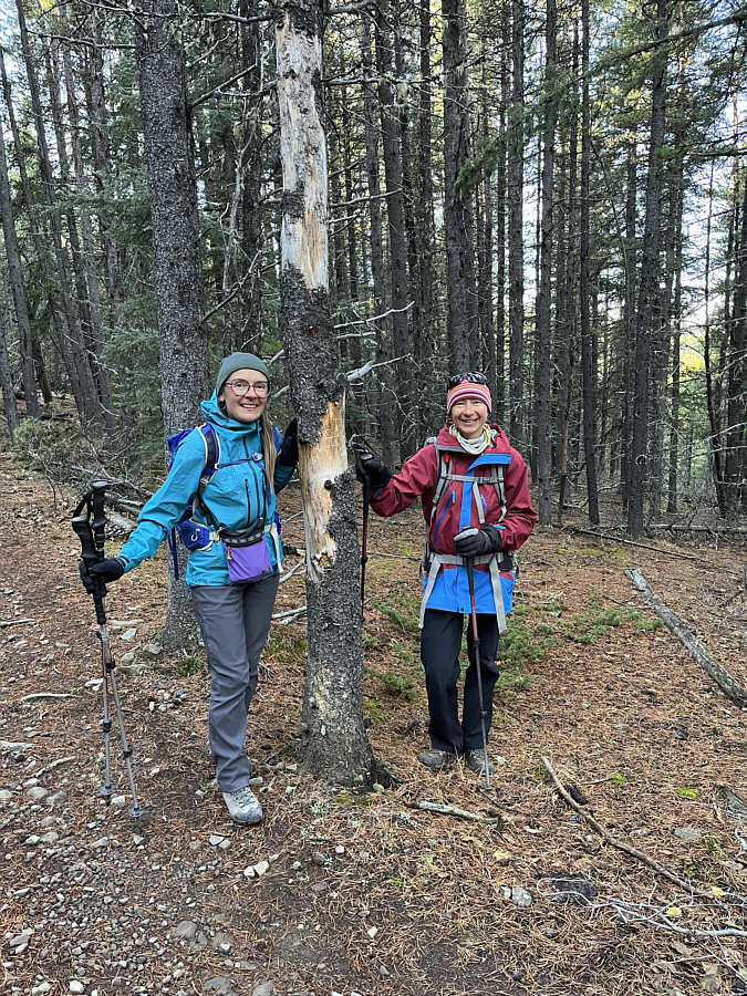
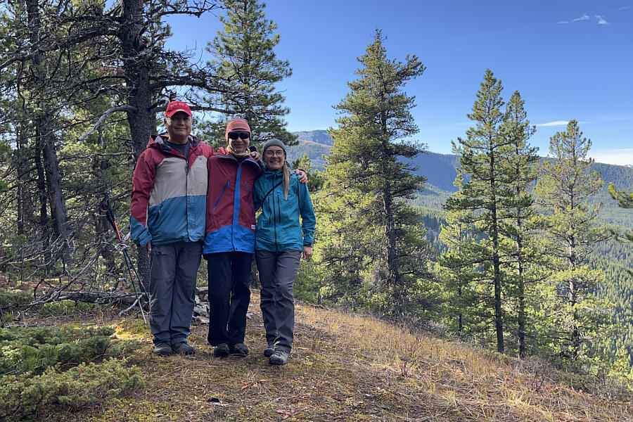
The summit that nobody needed! Sonny, Zosia and Aga stand on the high point of Shell Hill (1832 metres).
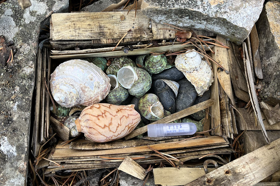
She sells seashells by the seashore! Under a pile of rocks at the high point is a disintegrated box of seashells and the world's smallest summit register.
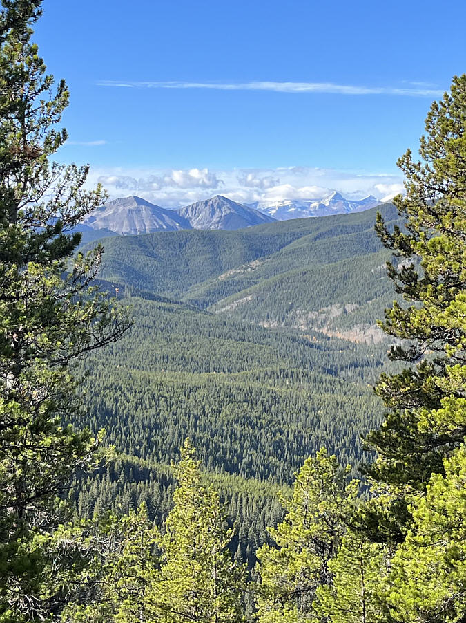
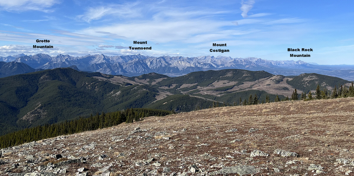
Namely (L to R), Midday Peak, Midnight Peak, Mount Sparrowhawk (obscured by clouds), Wind Mountain, and 3rd Peak of Mount Lougheed.

A break in the trees at the high point of Shell Hill grants some views of mountains to the southwest.

Aga, Zosia and I paused at the high point of Shell Hill for about twenty minutes before retracing our steps back to the saddle.  Instead of backtracking along the beaten path though, we climbed straight up the forested slope until we intersected our original trail.  From there, we had no issues hiking the remainder of the trail to the high point of Cox Hill where we stopped for an extended break under some nearby bluffs.

When we resumed hiking, Aga, Zosia and I followed the continuation of the trail which heads south and then turns west into a dip separating Cox Hill from Jumpingpound Mountain's north ridge.  Climbing out of the dip was a little annoying, but once we crested the ridge and intersected the Jumpingpound Ridge trail, we enjoyed an easy descent to the second trailhead and my waiting car.  I then drove us back to the Dawson trailhead where Zosia and I dropped Aga off at her car before we all headed home.
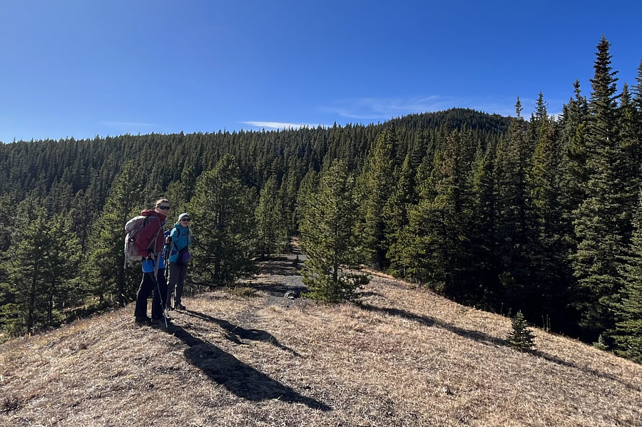
We got some walkin' left to do! As they descend Shell Hill, Zosia and Aga get a brief glimpse of the top of Cox Hill in the distance.
No problemo for off-trail hiking here!

Zosia and Aga take a short cut to regain the trail to Cox Hill.

Mostly views of the prairies, so I didn't bother to show them here.

Zosia and Aga pause at a viewpoint along the trail to Cox Hill.

Almost there!

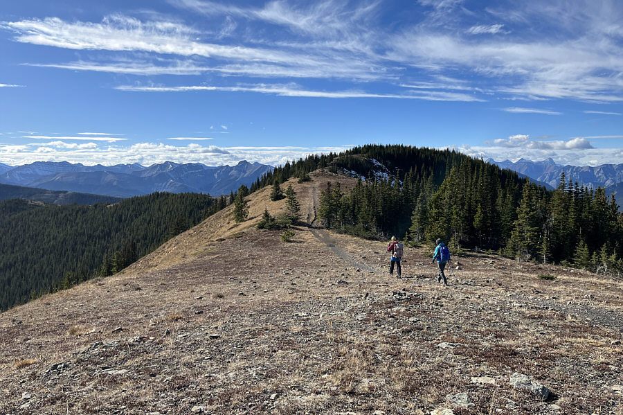
Zosia and Aga approach the top of Cox Hill.

It's great to be back!

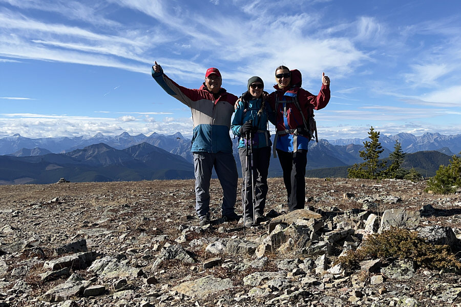
Sonny, Aga and Zosia stand on the high point of Cox Hill (2214 metres).

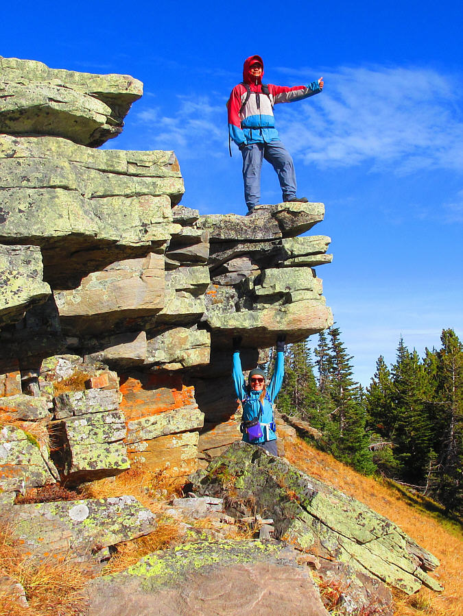
Aga is Superwoman!

At some bluffs near the high point, Aga keeps the rocks from collapsing under Sonny.

Photo courtesy of Zosia Zgolak

We know this side of Moose Mountain quite well!

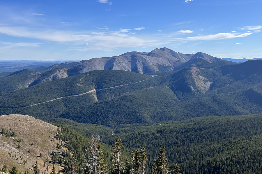
Moose Mountain dominates the view to the southeast.

Such a treasure trove of shoulder-season hikes!

The numerous high points of Lusk Ridge crowd the foreground in this view to the northwest.
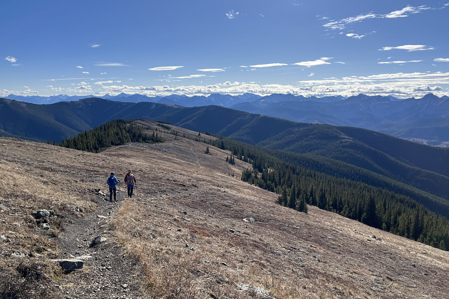
 

We ran into a couple of hardcore mountain bikers coming up this way. Aga and Zosia descend the south side of Cox Hill en route to the forested ridge at far right which is essentially the north end of Jumpingpound Mountain (distant left).
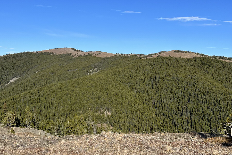
We've come a long way, baby! Here is a look back at Cox Hill from the north end of Jumpingpound Mountain.
Nice scenic end to a long hike.

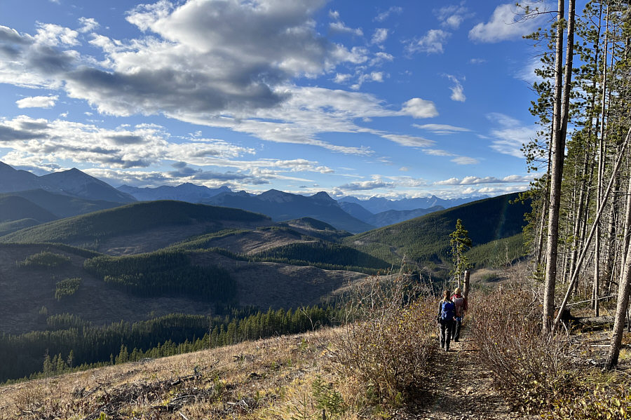
Aga and Zosia descend alongside a clear-cut near the end of the traverse.

Highly recommended traverse! Total Distance:  15.6 kilometres
Total Time:  8 hours 9 minutes
Cumulative Elevation Gain:  919 metres

GPX Data