BOU AVENUE
Banff Potpourri

With a mixed weather forecast in the mountains for 14 December 2024, Zosia Zgolak and I headed to Alberta's Banff National Park to do a number of short, easy hikes mostly in and around the Banff townsite.  Our first stop was at Johnson Lake where we did a short walk to the nearby hoodoos overlooking the Trans-Canada Highway.  I have driven by these hoodoos countless times in the past, but this was my first time visiting them up close.  I was also curious to see what is purportedly Alberta's oldest known tree as described in the 1993 guidebook Banff-Assiniboine: A Beautiful World by Don Beers.  The tree is supposedly somewhere in the vicinity of the hoodoos, but despite our best efforts to follow the directions from the guidebook, we were unsuccessful in locating it.  Frankly, I am still skeptical about the validity of such a bold claim given the vast tracts of forest that exist in this province.
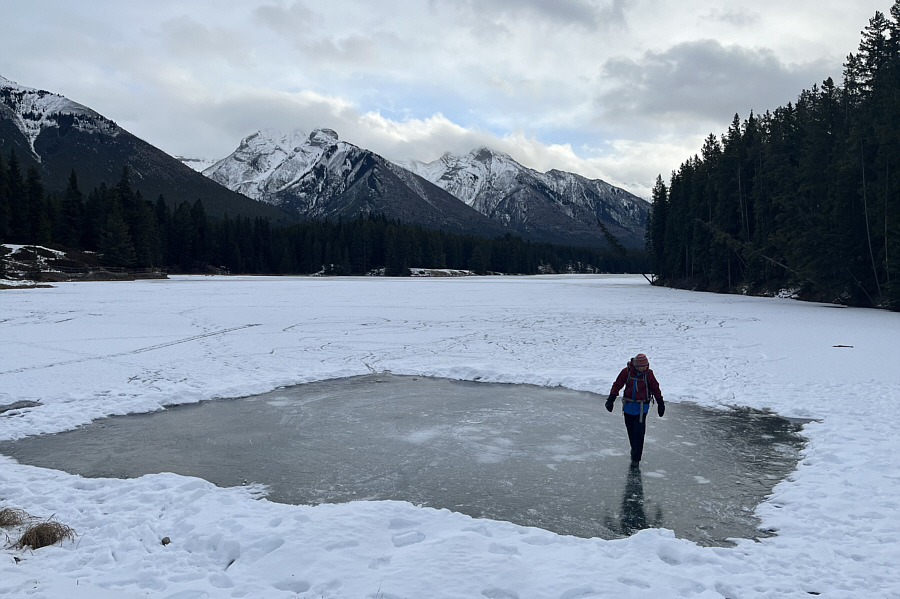
Tiny bubbles...In the wine...Make me happy...Make me feel fine!

Zosia examines bubbles under the ice at Johnson Lake.
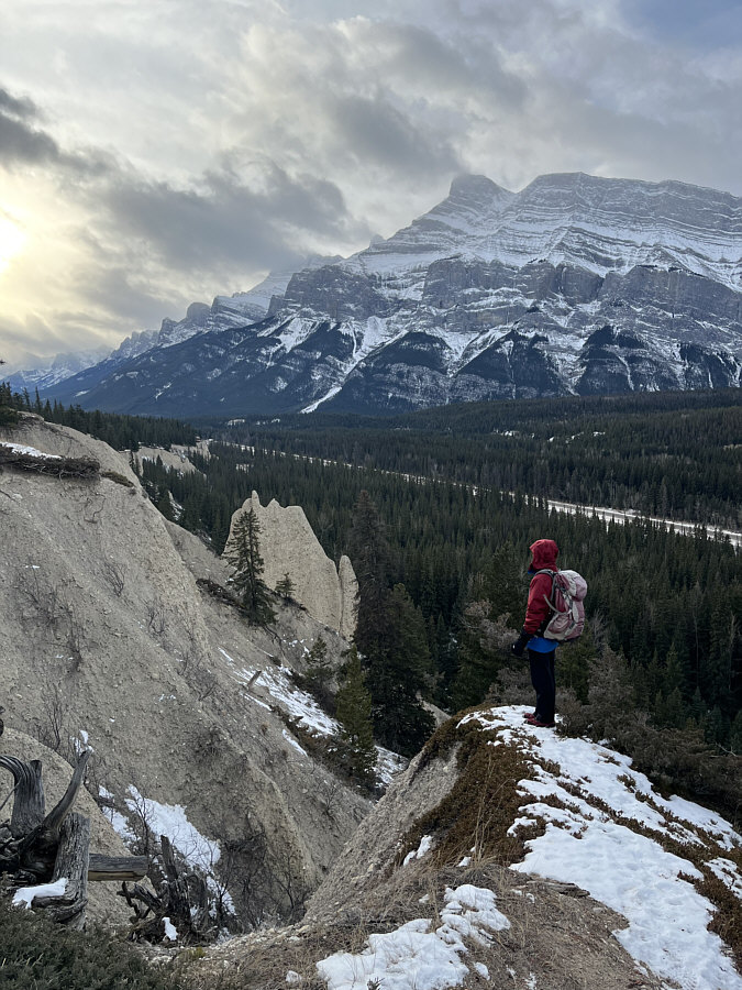
Great view for so little effort! Zosia admires some hoodoos situated above the Trans-Canada Highway with Mount Rundle in the background.
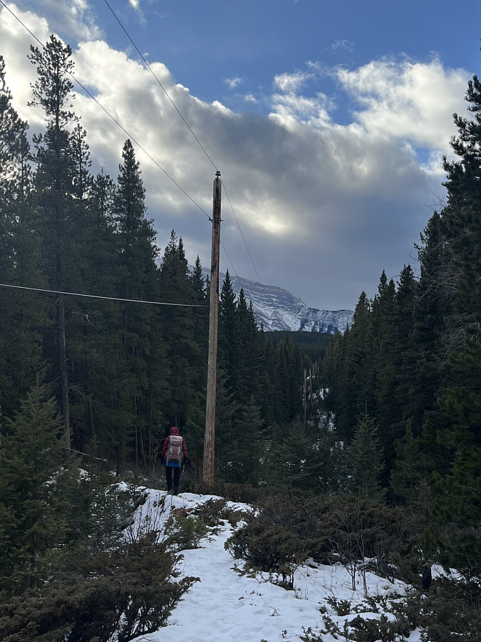
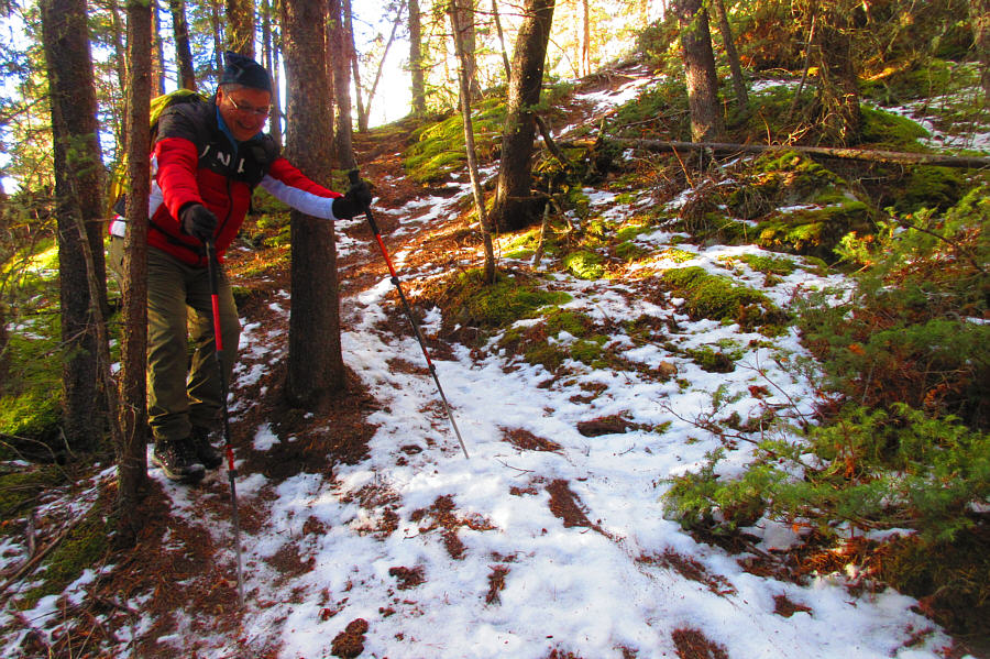
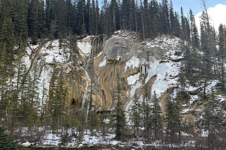
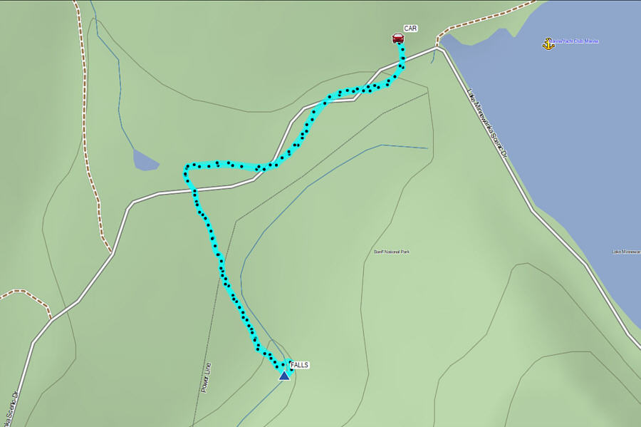
Zosia and I next drove to the parking lot at Lake Minnewanka to hike to little-known Tessa Falls.  Despite the existence of some online resources, I had been unaware of these falls up until the night before when I discovered them purely by chance while perusing online maps of the area.  The falls are easy to access via a short unofficial trail starting from the south side of Lake Minnewanka Scenic Drive opposite Cascade Fire Road.  The seasonal closure of the Scenic Drive west of Lake Minnewanka effectively doubled the hiking distance to the falls since we had to walk almost as far from where we parked just to reach the trailhead.  The trail to the falls starts out fairly flat but begins to descend gently after crossing under a conspicuous power line.  Just before the falls, the trail drops down a very steep embankment which was quite icy on this day.  While this was no problem for Zosia who had smartly brought along ice cleats, I had to take extra care descending with just my winter boots.  At the bottom of the embankment is Cascade River, and Tessa Falls are situated on the far bank.  The few logs spanning the river were too icy to cross on this day, and we had to content ourselves with admiring the falls from a distance.  When we had our fill of cascades and colourful cliffs, we scrambled up the embankment and hiked back the same way we came without any issues.
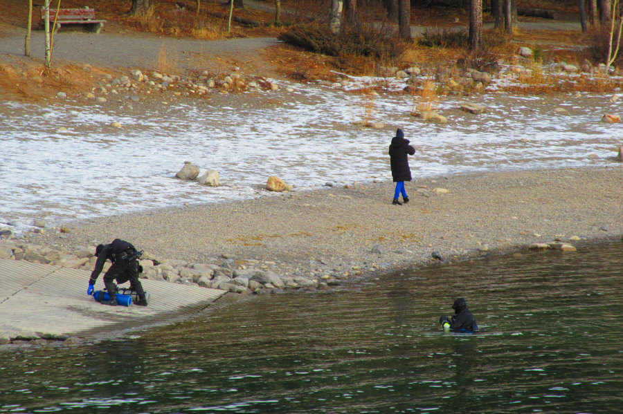
Dave not coming back? Some scuba divers emerge from the icy waters of Lake Minnewanka.

Photo courtesy of Zosia Zgolak

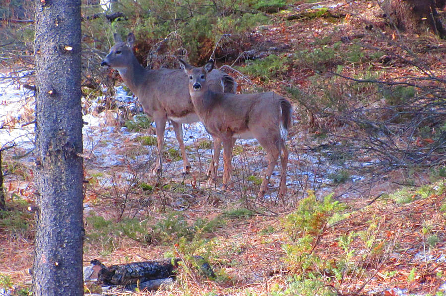
Whazzup? A couple of white-tailed deer are startled by some passers-by.

Photo courtesy of Zosia Zgolak

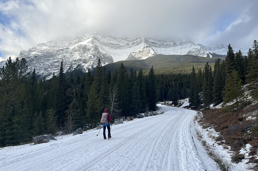
The snow coverage was too icy and thin for skiing.

The top of Cascade Mountain is obscured by clouds as Zosia walks along Lake Minnewanka Scenic Drive en route to the trailhead for Tessa Falls.

It's all downhill from here! The trail to Tessa Falls crosses under this power line.
Ice cleats recommended! Sonny carefully descends a steep and icy embankment.

Photo courtesy of Zosia Zgolak

Surprisingly picturesque! On this day, Tessa Falls is characterized by a mix of water, ice and colourful rock.
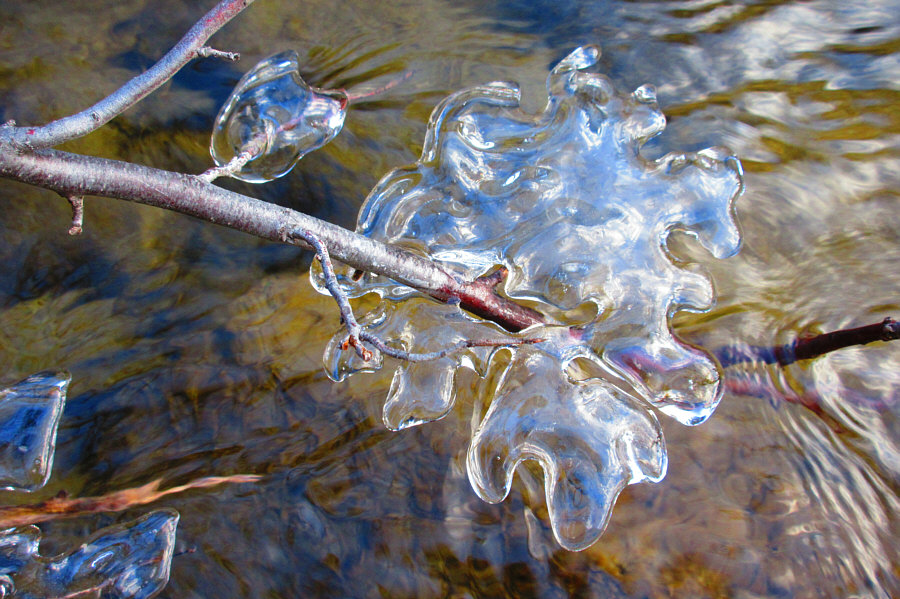
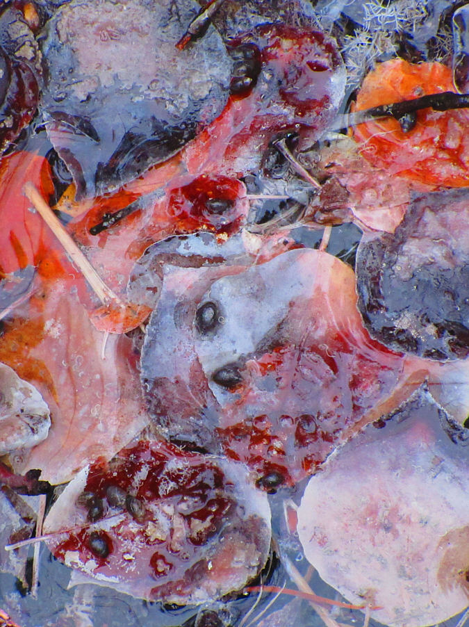
Nice capture by Zosia! An ice leaf seemingly grows from this tree branch which is partially-submerged in the waters of Cascade River.

Photo courtesy of Zosia Zgolak

Might be worth another visit in the spring... Total Distance:  3.0 kilometres
Round-Trip Time:  1 hour 7 minutes
Cumulative Elevation Gain:  47 metres

GPX Data

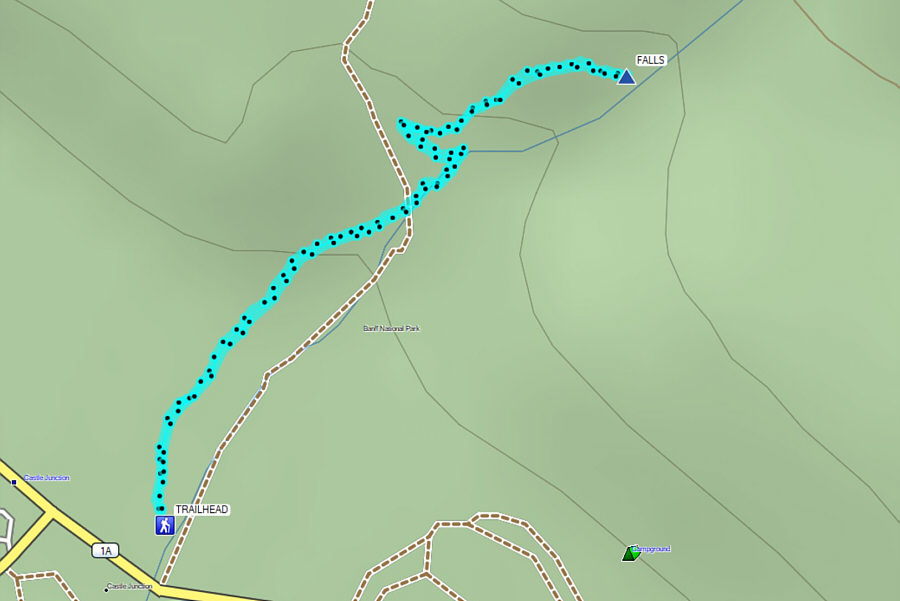
Zosia and I next drove to Castle Junction to visit Silverton Falls which we have previously always bypassed while hiking or skiing the trail to Rockbound Lake.  There was a bit more snow here (still too thin for skiing), but the trail to the falls was nicely packed down by previous visitors.  The short ascent is easy and pleasant, but there is not a lot of wiggle room at trail's end to view the falls.  With little else to hold our attention here, we simply turned around and hiked back to the trailhead.
Still not enough snow for skiing yet!

Zosia follows a snowy but well-traveled trail to Silverton Falls.

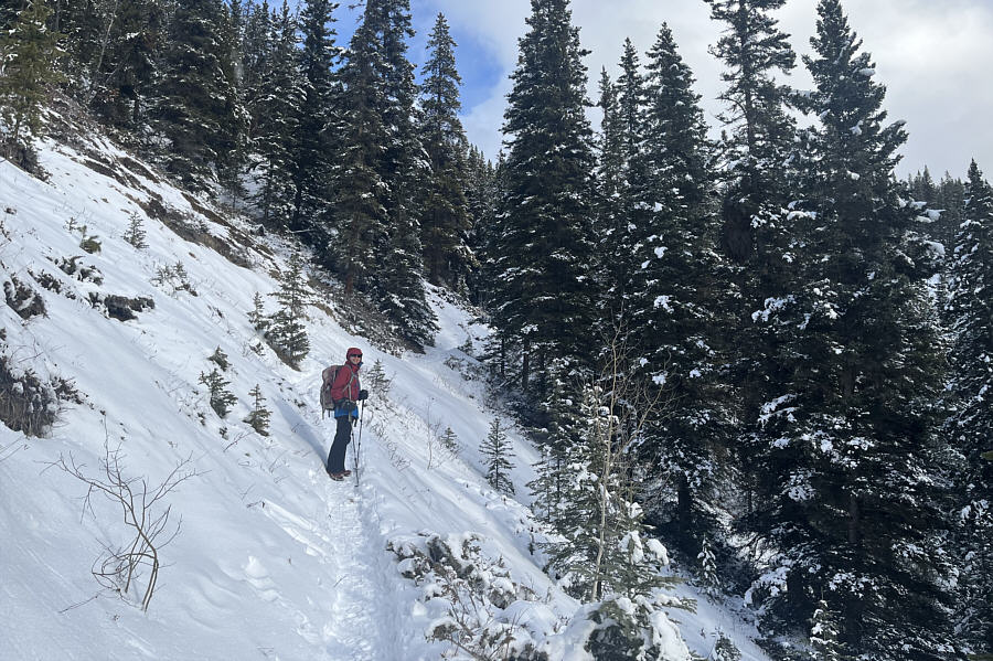
Possible avalanche hazard? The trail rises across this open slope shortly before the falls.
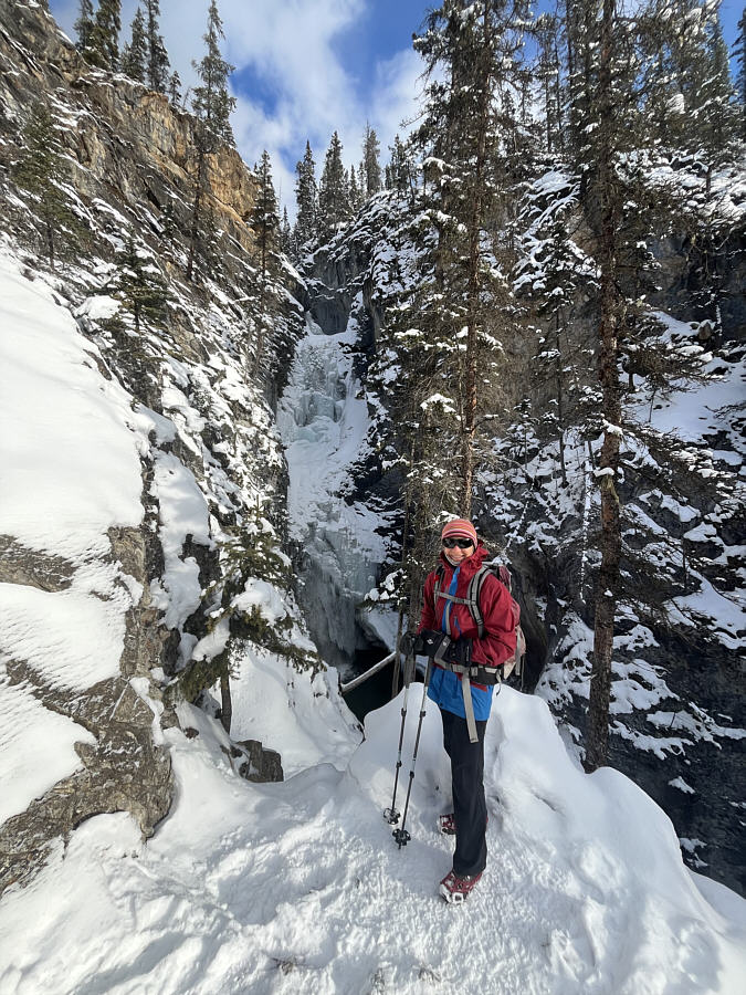
Not much space here to move around! Zosia arrives at Silverton Falls.
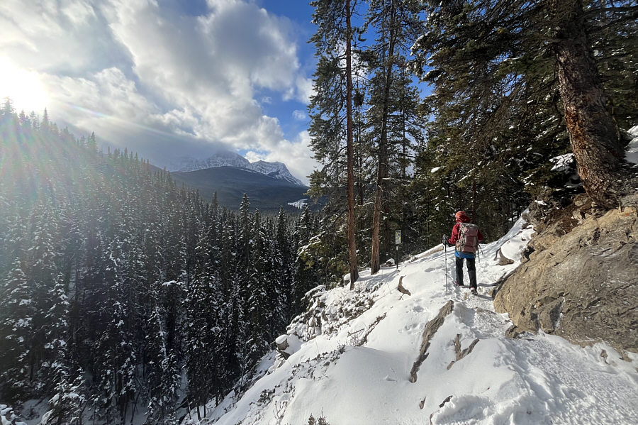
Nice spot here in the warm sun! As she turns to leave Silverton Falls, Zosia gets a glimpse of Vista Peak in the distance.
Really short hike! Aim to do something else on the same day! Total Distance:  2.0 kilometres
Round-Trip Time:  47 minutes
Cumulative Elevation Gain:  75 metres

GPX Data

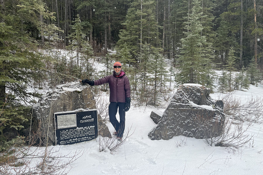
Returning to the Banff townsite, Zosia and I next visited the site of the former Alpine Club of Canada (ACC) clubhouse situated at the base of Sulphur Mountain just a short walk off Mountain Avenue.  The clubhouse opened in 1909 and had an interesting history before it was ultimately demolished in 1974 in favour of the present one located in Canmore.  The relocation was because Parks Canada would not approve the ACC's plan for redevelopment and expansion of the clubhouse.  With the exception of a commemorative plaque, the clubhouse site has largely been reclaimed.  In his guidebook, Beers even describes a short hike which starts from here and supposedly climbs up to a nearby scenic bluff.  Unfortunately, access to the bluff is now strictly prohibited and also apparently electronically monitored by Parks Canada which claims that the area is a critical wildlife corridor and a sensitive habitat for the endangered Banff Springs snail.  In light of the area closure and the ACC clubhouse relocation, I find it ironic that Parks Canada still allowed a major residential development in the adjacent community of Middle Springs.
Lawrence Grassi supposedly built a trail to the top of Sulphur Mountain from here! A commemorative plaque is all that remains on the site of the former Alpine Club of Canada clubhouse in Banff.
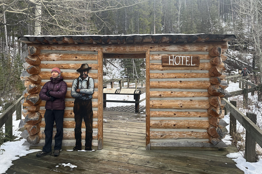
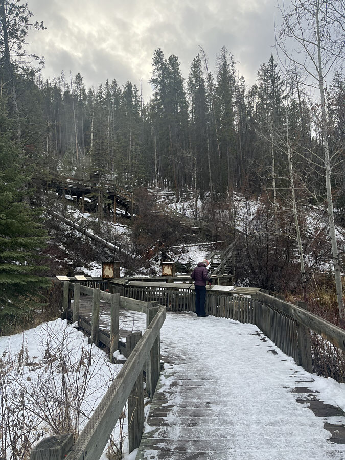
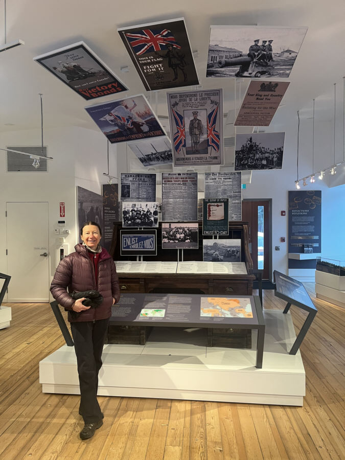
With daylight waning, our last stop of the day was at Cave and Basin National Historic Site.  We were previously here in 2023, but this time, we skipped the indoor exhibits and just wandered along the outdoor interpretive boardwalks.  Despite multiple visits here, I never tire of the novelty (and the smell) of the hot springs.  Before departing, we also stopped for the first time at the standalone building just west of the Cave and Basin complex.  Oddly, I always thought this was some sort of conference centre or fancy utility shed, but we were rather surprised to find out that it is a mini-museum--the First World War Internment Exhibit.  During the First World War, Cave and Basin was the site of an internment camp which imprisoned so-called "enemy aliens"--mostly immigrants from Ukraine, Austria, Hungary and Germany.  Due to budget restrictions during the war, park administrators used these prisoners as low-cost labour to help build roads and improve infrastructure.  After so many years of visiting Banff, I am amazed that there are still new things for me to discover here!
No loitering! Zosia fits right in with a "local" at the "hotel" above Cave and Basin National Historic Site.
Be on your best behaviour here--cameras are everywhere! The boardwalks follow the flow of water back to the sources up the slope.
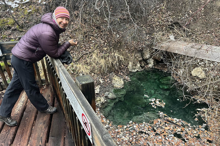
No swimming! This is one of the hot springs which feeds the pools at Cave and Basin.
Which one's Gary? Access to most of the hot springs emanating from Sulphur Mountain is prohibited in order to protect the Banff Springs snail (Physella johnsoni).

Photo courtesy of Zosia Zgolak

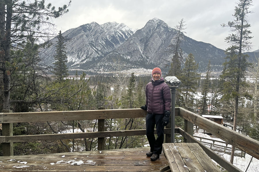
The free binoculars suck! This platform grants a fine view of Mount Norquay across the valley.
Military recruiting was so much easier back then! Zosia stands under some military recruiting posters at the First World War Internment Exhibit.