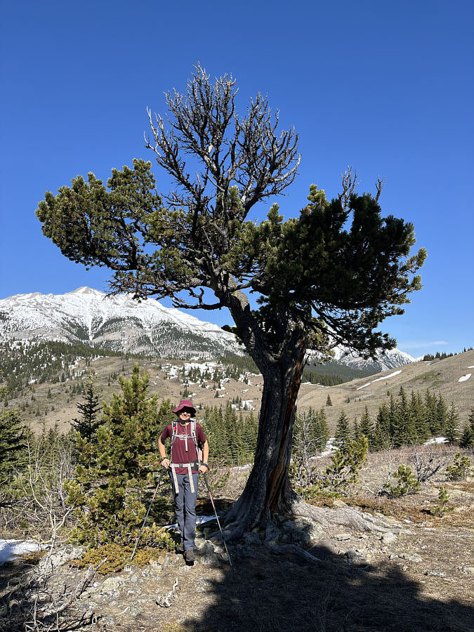
This is the famous Boundary Pine mentioned in Gillean Daffern's trail guide. It is apparently about 438 years old.
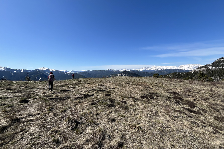
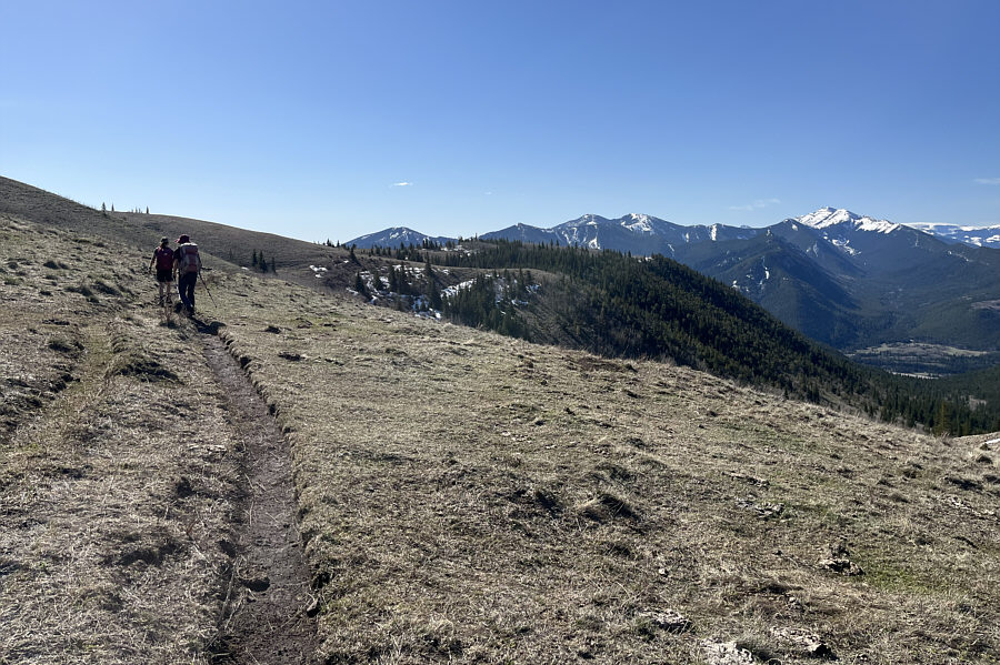
Leslie and Zosia head for the bump (left of centre) northeast of Grass Pass along the connecting ridge to Bull Creek Hills.
|
|
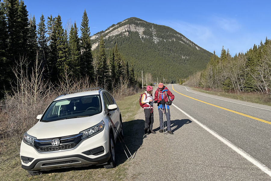
Leslie and Zosia get ready to hike from the highway. In the background is Mount Mann. |
|
|
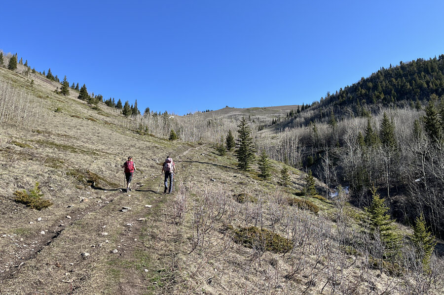
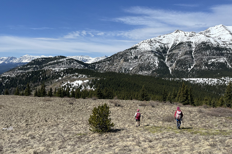
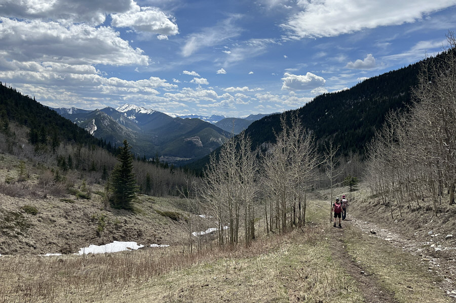
The hike up Pack Trail Coulee to Grass Pass is strenuous but straightforward. |
|
|
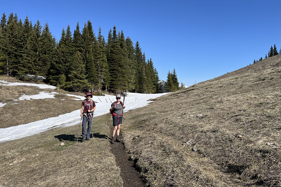
Zosia and Leslie arrive at Grass Pass. |
|
|
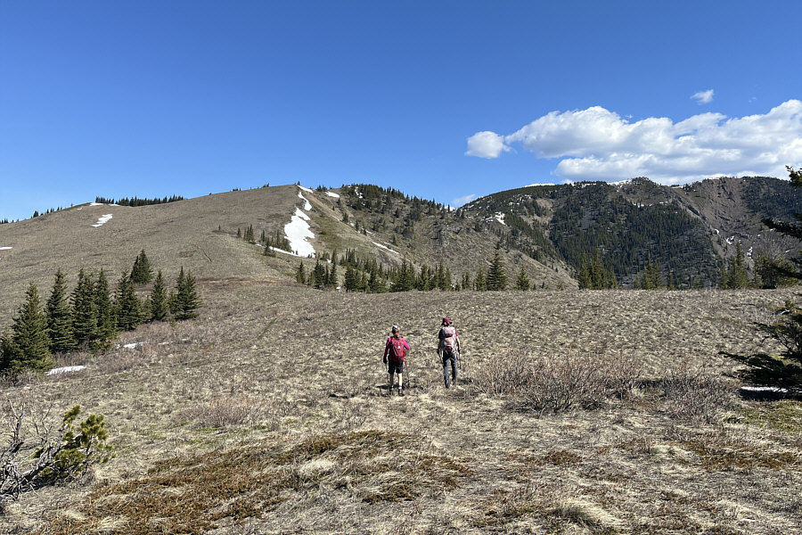
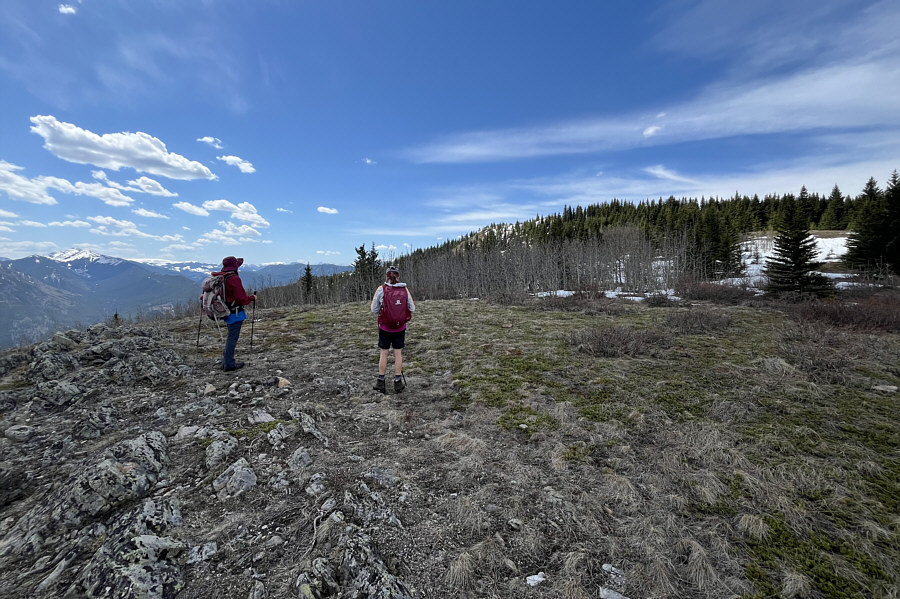
Leslie and Zosia head for a ridge to the southeast of Grass Pass. |
|
|
This is the famous Boundary Pine mentioned in Gillean Daffern's trail guide. It is apparently about 438 years old. |
|
|
The ridge southeast of Grass Pass culminates at this scenic viewpoint known as Fir Creek Point. |
|
|
Leslie and Zosia head for the bump (left of centre) northeast of Grass Pass along the connecting ridge to Bull Creek Hills. |
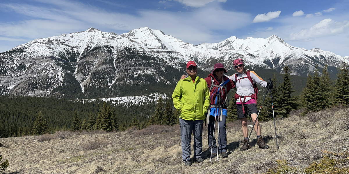
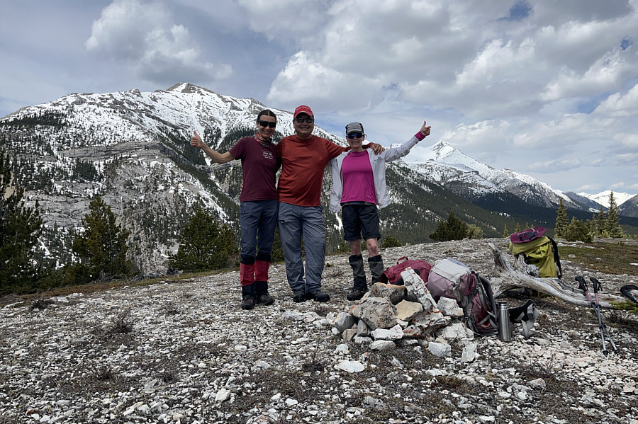
Sonny, Zosia and Leslie pose near the high point (1971 metres) of the bump northeast of Grass Pass. Holy Cross Mountain (left of centre) and Mount Head (right) fill the background.
 |
Leslie and Zosia descend to Grass Pass en route to the ridge (left) to the southwest which separates Pack Trail Coulee from Gunnery Creek. |
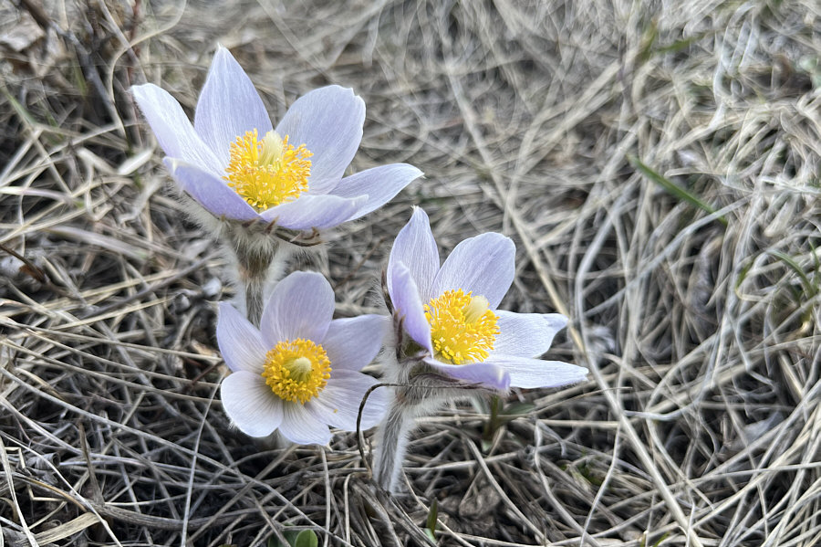 |
Blooming pasque flowers signify the arrival of spring in the hills. |
 |
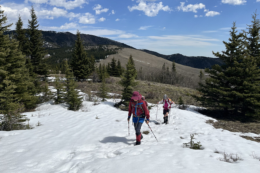
Zosia and Leslie consider the lingering snow patches ahead which complicate the ascent of the ridge southwest of Grass Pass. |
 |
Old tracks in the snow help alleviate some post-holing misery. |
 |
Zosia, Sonny and Leslie stand on the high point (1954 metres) of the ridge southwest of Grass Pass. |
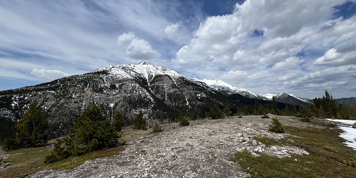
Holy Cross Mountain dominates the view to the northwest of the ridge. At distant right is the unassuming hill known as Trapezium.
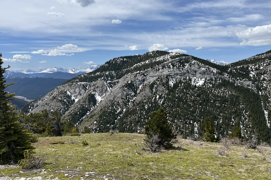 |
The east face of Gunnery Mountain is guarded by some daunting cliff bands. |
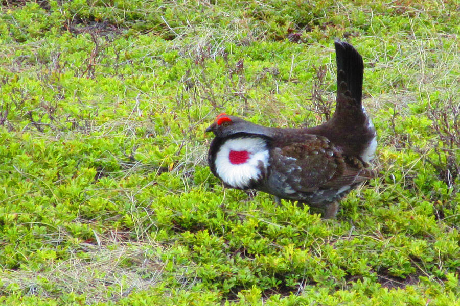 |
A dusky grouse hurries away from
intruders on his home turf. Photo courtesy of Zosia Zgolak |
 |
Leslie and Zosia hike out Pack Trail Coulee. |
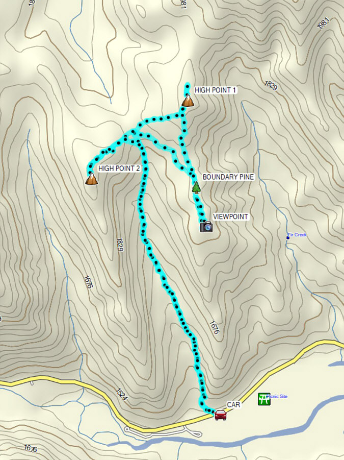 |
Total
Distance: 10.5 kilometres Round-Trip Time: 5 hours 43 minutes Cumulative Elevation Gain: 593 metres |