 |
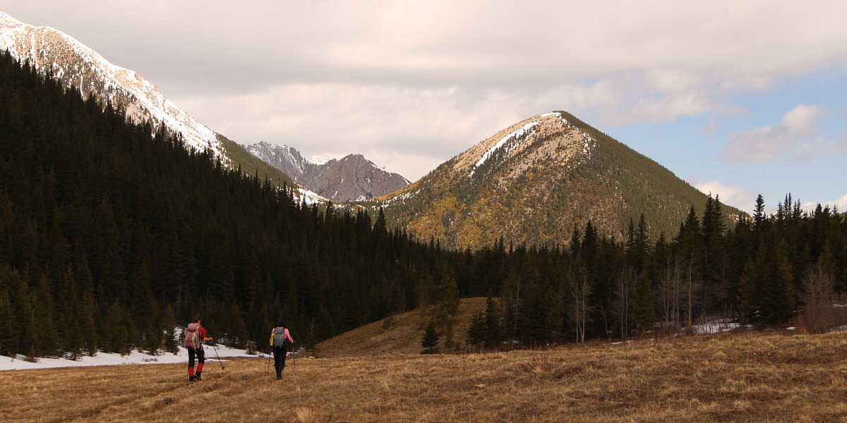
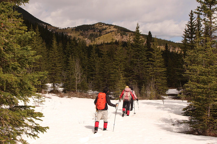
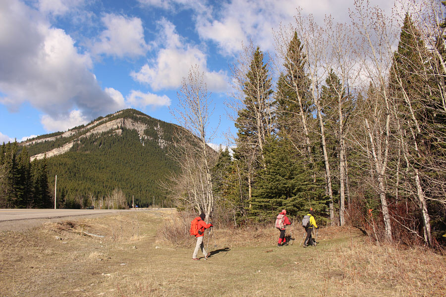
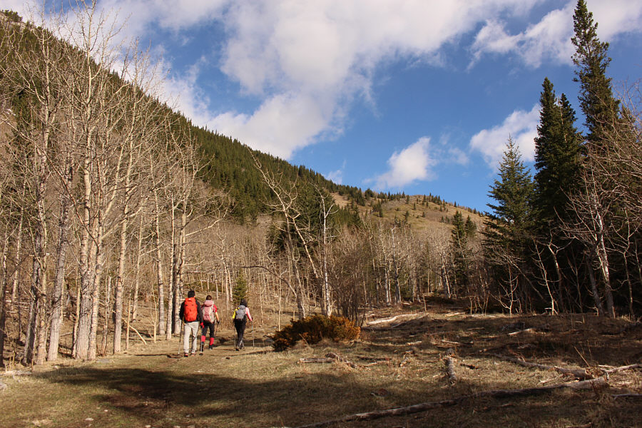
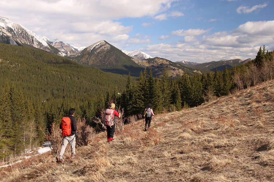
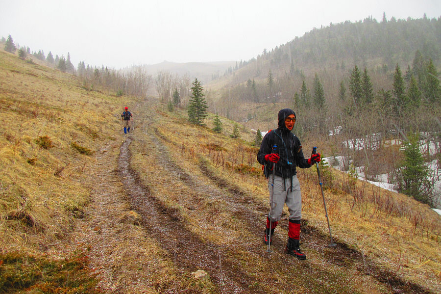
Shaun, Zosia and Alda begin their hike at the trailhead beside the
highway. In the background is
Mount Mann. |
 |
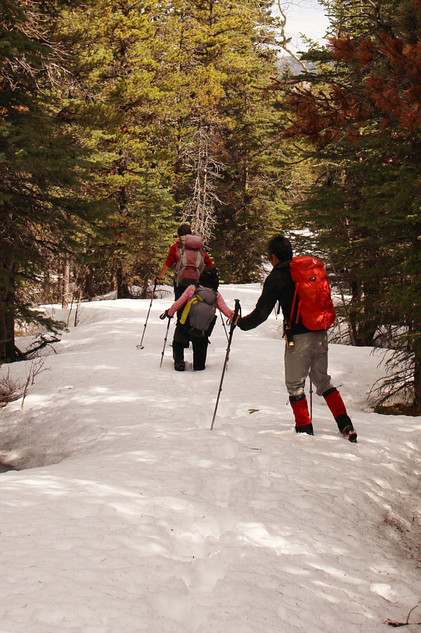
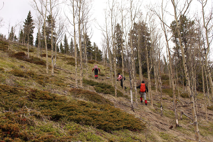
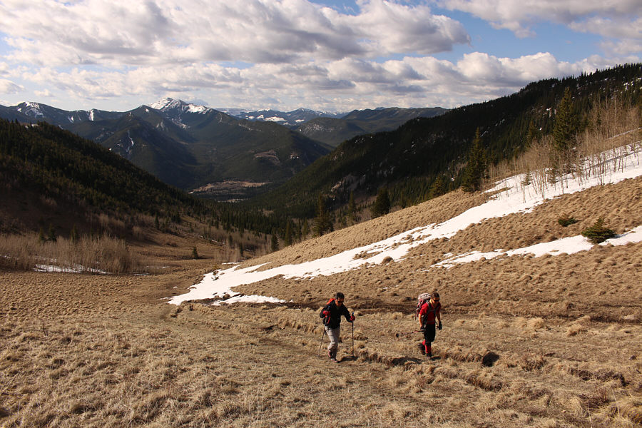
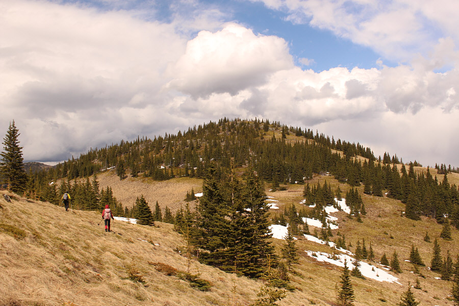
The trail to Grass Pass is mostly snow-free and easy to walk. |
 |
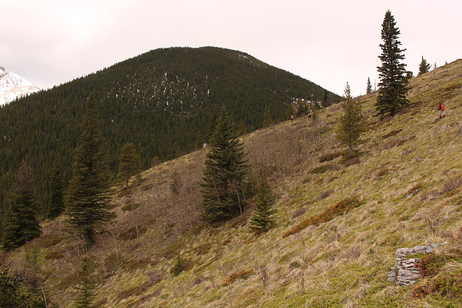
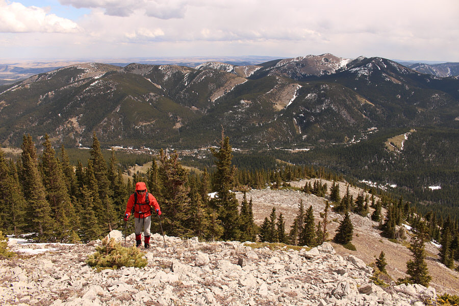
Views open up to the south as Shaun and Zosia approach Grass Pass. |
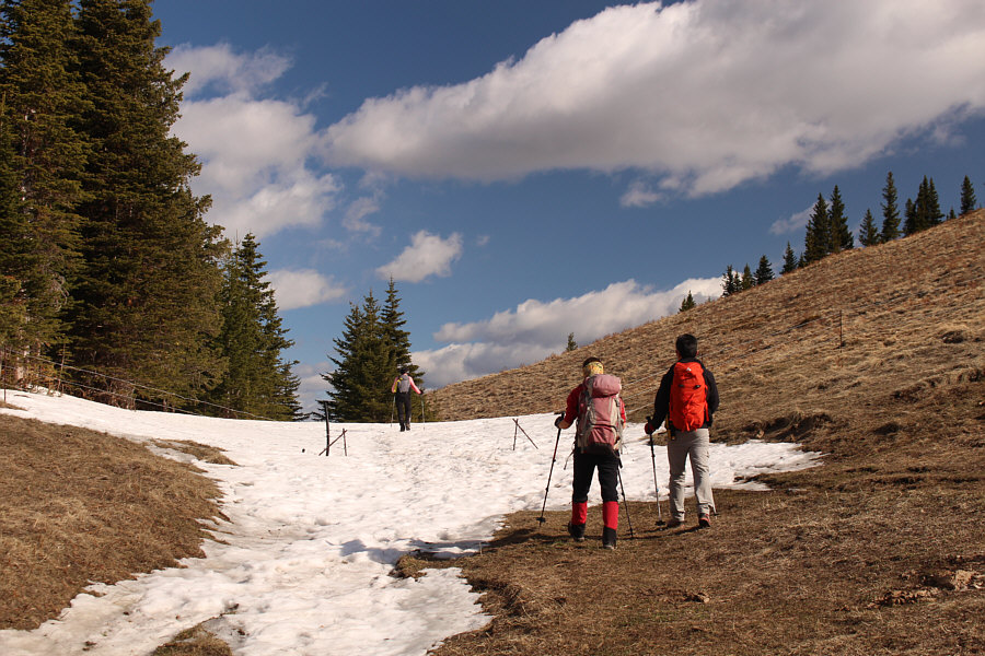 |
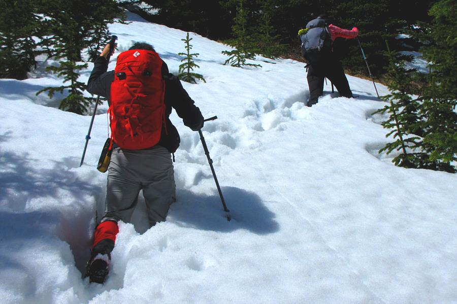
The group hikes through a lingering snow patch at Grass Pass (1869
metres). |
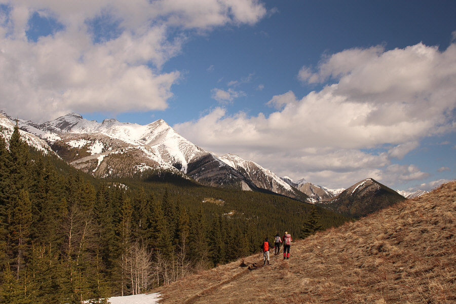 |
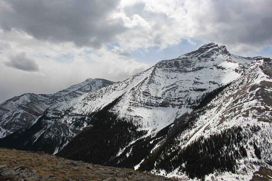
On the north side of Grass Pass, the group gets its first glimpse of
Trapezium at right. At left is
Mount Head. |
 |
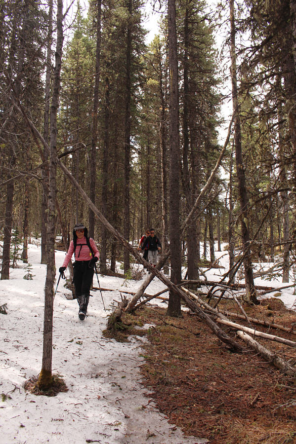
As tempting as it is to stay high on the open slope north of Grass Pass,
the group needs to drop down here and follow the main trail into the
forest where there is more snow. |
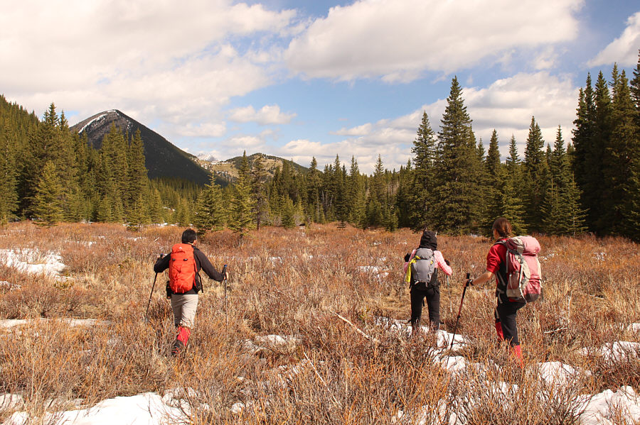 |
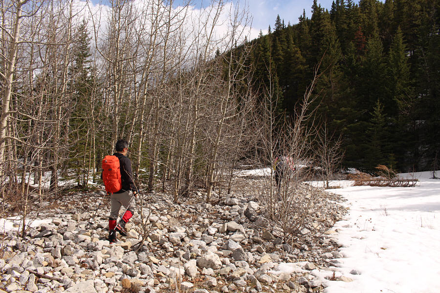
After enduring some miserable post-holing, the group abandons the
snow-choked trail briefly to try their luck in a marshy area. |
Zosia and Alda get a temporary reprieve from the snow in a dry meadow with
Trapezium looming in the background.
Notable peaks to the northwest include Patterson's Peak
(left of centre), Pyriform Mountain (rightmost of double snowy peaks at
right), and Junction Mountain (far right).
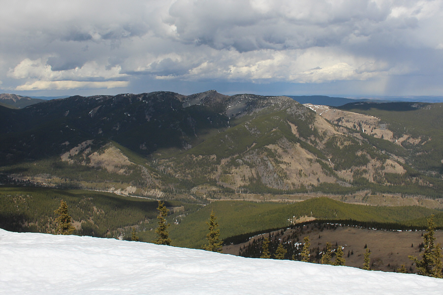 |
High Rock Ridge sits to the northeast. |
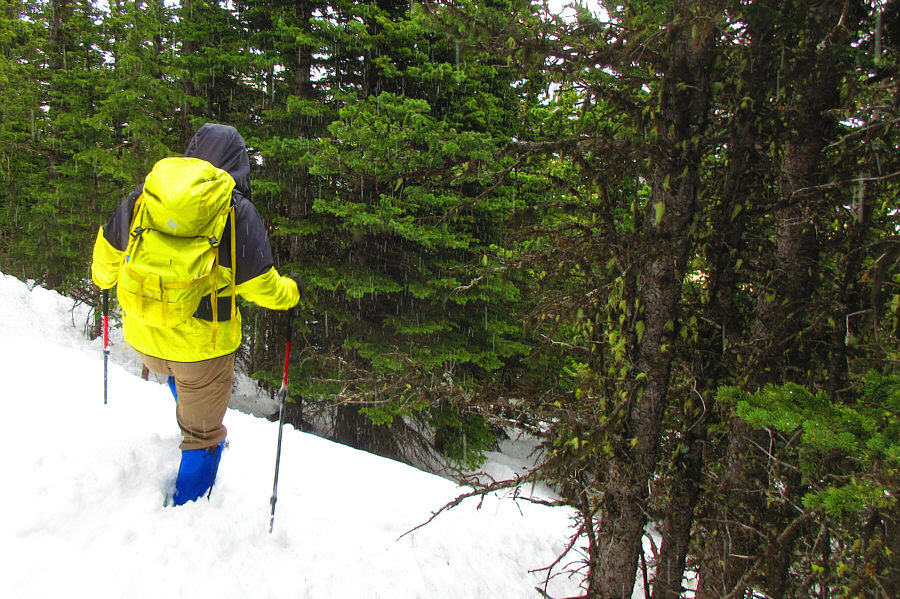 |
Sonny retraces his steps down the east side of Trapezium under falling
graupel.
Photo courtesy of Zosia Zgolak |
 |
After descending from the top of Trapezium, Alda and Zosia head for the
unnamed outlier to the east. |
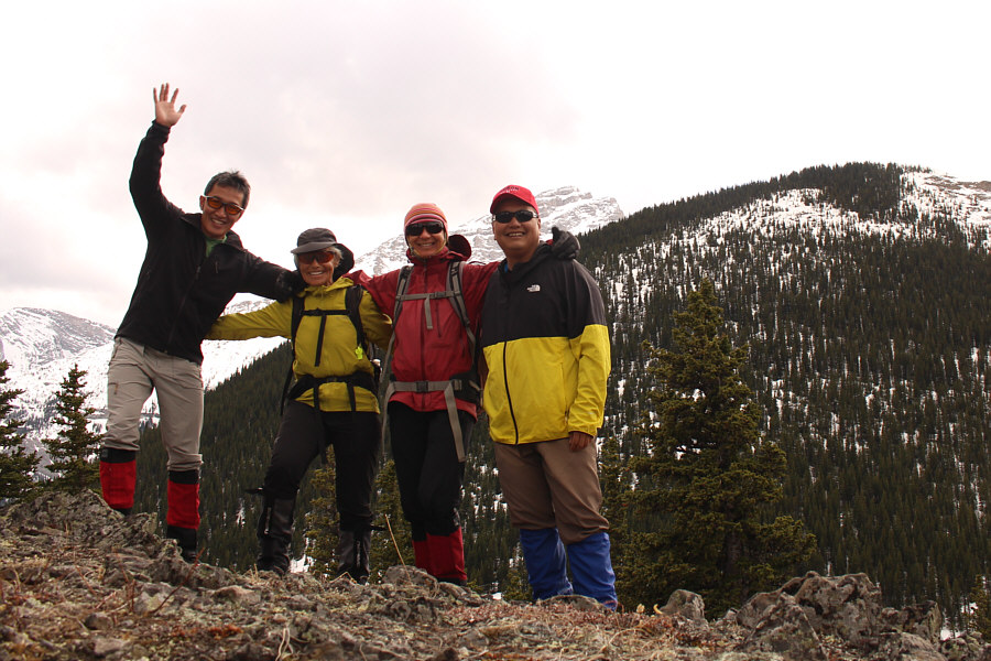 |
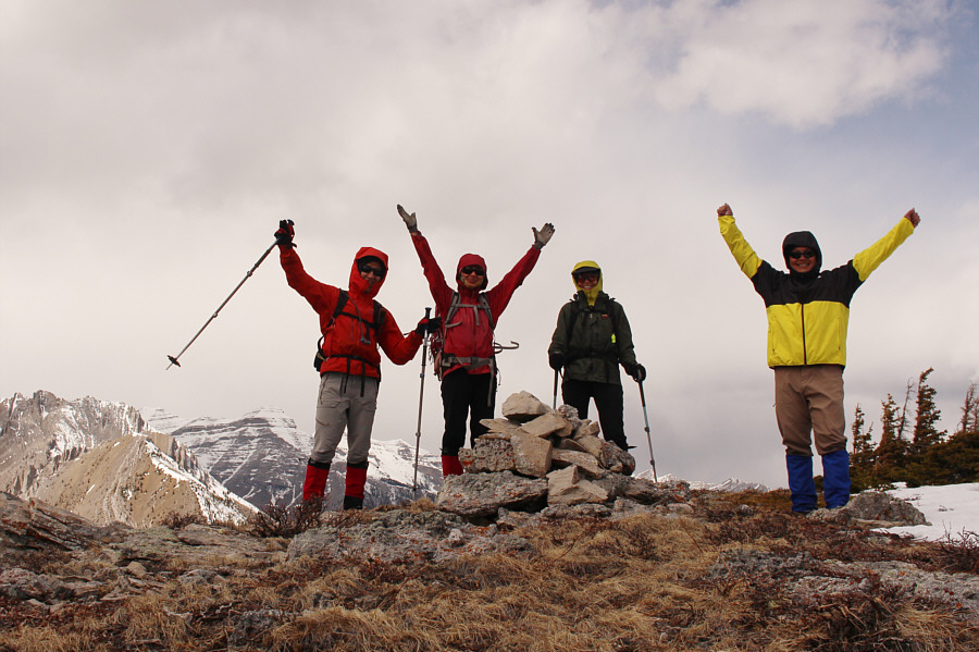
Shaun, Alda, Zosia and Sonny are all smiles on top of the outlier (2014
metres) with Trapezium behind them. |
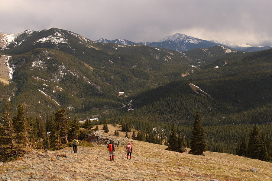 |
The group heads down the outlier's open south ridge. On the right
horizon is Mount
Burke, and just below it in the photograph is Grass Pass. |
 |
The group skirts around a partially frozen pond after descending from the
outlier. |
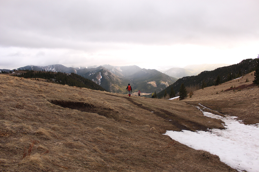 |
The group climbs back over Grass Pass. |
 |
Sonny and Shaun get pelted with another round of falling graupel as they
descend from Grass Pass.
Photo courtesy of Zosia Zgolak |
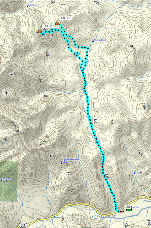 |
Total
Distance: 21.2 kilometres
Round-Trip Time: 11 hours 25 minutes
Cumulative
Elevation Gain: 1346 metres
GPX Data |