BOU AVENUE
New York Peak 1

On 5 January 2024, Zosia Zgolak and I paid a visit to the New York Mountains located within the Mojave Wilderness of California's Mojave National Preserve.  Our plan was to follow in the footsteps of Bob Spirko who ascended the second highest summit--New York Peak 1--in 2013.  We also had aspirations to attempt the more challenging true summit--New York Peak 2, but we would have to wait until we got up there before ascertaining if scrambling would be feasible in winter conditions.

If coming from I-15, take Exit 286 and drive east on Nipton Road for 5.5 kilometres before turning right (south) onto Ivanpah Road (2WD gravel).  If coming from I-40, take Exit 107 and drive north on Goffs Road for 17.0 kilometres before turning left (north) onto Lanfair Road (2WD gravel).  Lanfair Road becomes Ivanpah Road at the junction with Cedar Canyon Road 26.0 kilometres north of the turnoff from Goffs Road.  From Ivanpah Road, turn west onto a rough dirt road (35.279359, -115.247372; high clearance vehicle strongly recommended), 19.0 kilometres north of the junction with Cedar Canyon Road or 29.0 kilometres south of the junction with Nipton Road.  Drive 3.2 kilometres and park anywhere just before the road enters a wash with a sign that reads "Keystone Canyon Trail".

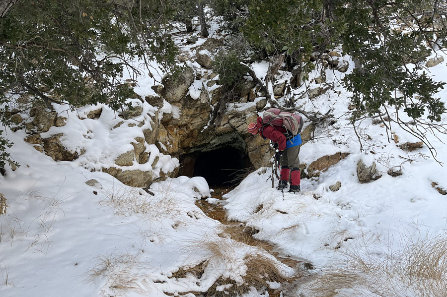
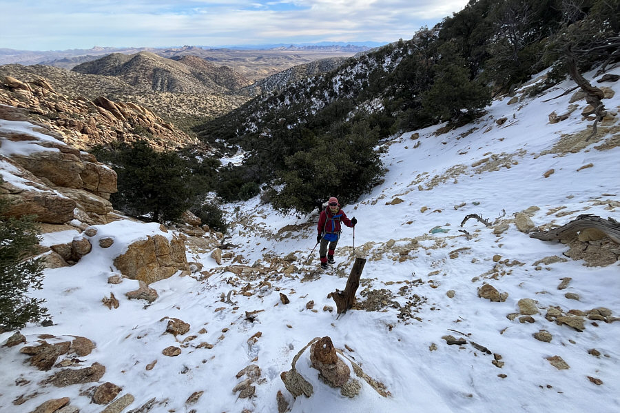
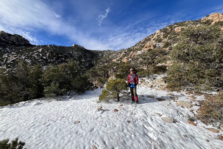
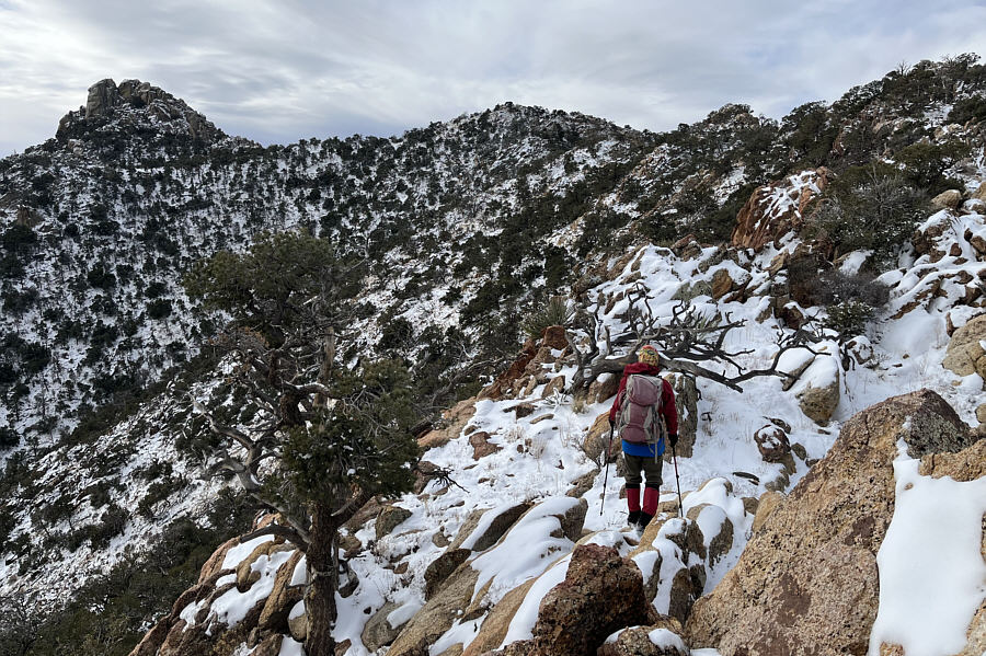
Starting from the sign, Zosia and I followed the continuation of the road into the wash and Keystone Canyon.  About 1.7 kilometres from the sign, we ignored a side road branching to the right (this road leads to some abandoned buildings), and about 200 metres further, we kept right and ignored another side road branching to the left which leads to Keystone Spring.  A little more than a kilometre past the turnoff to Keystone Spring, we reached road's end at an old mine site.  Circling around a large tailings pile, we passed an adit with some old rails and began climbing a steep gully marked with cairns.  Snow in the gully made the footing a little slippery in places, but we still made good upward progress.  At the top of the gully, we picked up a trail that led us to a saddle where we could see both New York Peaks.  While Spirko continued up a gully between the two peaks, we opted to climb up the ridge above the saddle.  This ridge leads directly to New York Peak 1, but while the initial part of the climb was easy, we ran into more complex terrain higher up.  Some careful route-finding and scrambling was necessary to bypass some pinnacles on the upper ridge, and the slippery snow certainly added to the challenge.  Ultimately, we were able muddle our way up to the summit of New York Peak 1, but given the abundance of snow and the trouble we had ascending the ridge, we decided to forego scrambling up New York Peak 2.  Instead, we settled for a nice lunch break beside the benchmark near the summit of New York Peak 1.

For our descent, Zosia and I basically retraced our steps down the mountain.  Knowing the route, we were a little more efficient descending the ridge to the saddle, and despite the slippery footing in the steep gully, we made it down to the mine site without any mishaps.  The subsequent walk out Keystone Canyon back to our car was uneventful.
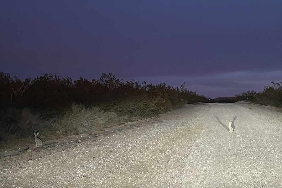
What's he do? Nibble your bum? A lot of black-tailed jackrabbits (American desert hares) roam Ivanpah Road during the night.

The desert is on fire!

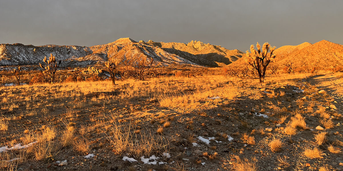
The morning sun lights up the New York Mountains.
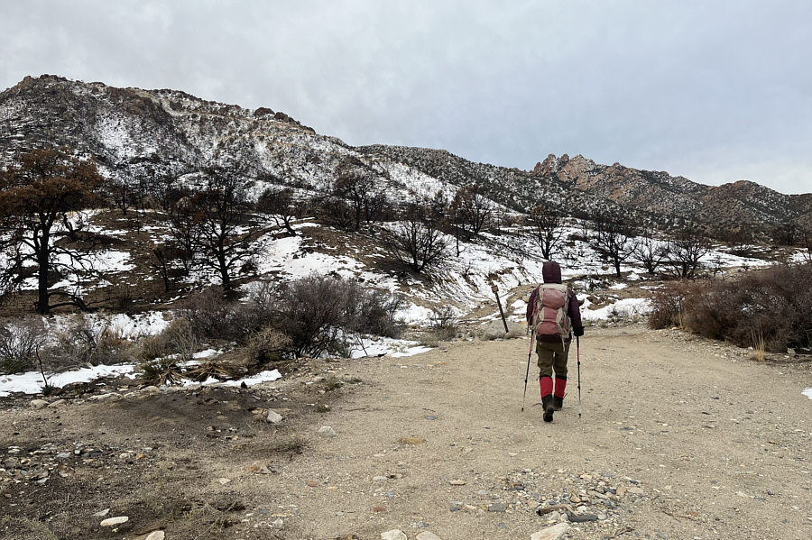
 

It's possible to drive further, but it's not really worth the extra punishment on your car! Zosia begins hiking along a jeep road leading to Keystone Canyon.
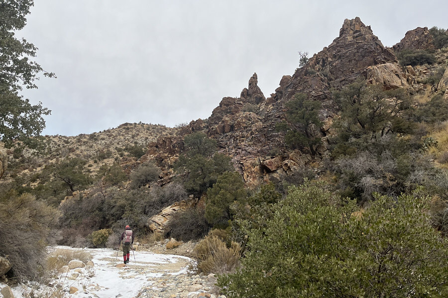
Easy cruising! The hike up Keystone Canyon is both pleasant and scenic.
Go left around the tailings pile!

The road ends at an old mine site.  The route continues up a gully beyond the tailings pile.

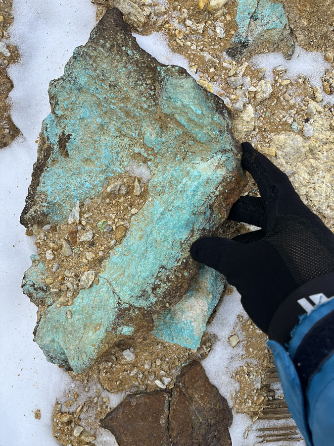
Is that blue-green or green-blue? Many rocks at the mine site have a blue-green hue likely indicating the presence of copper.
Welcome to the Mines of Moria! Zosia peers into an adit at the mine site.
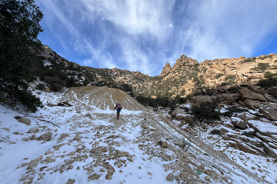
A very steep but good ascent route! Zosia follows a series of cairns up a steep gully above the mine site.
Good place to catch your breath after the stiff climb up the gully! Zosia arrives at a saddle with views of both New York Peak 2 (left of centre) and New York Peak 1 (barely discernible bump at centre).
The prospects of tagging New York Peak 2 are looking bleak at this point! The ridge leading to New York Peak 1 (centre) is not so straightforward to navigate.
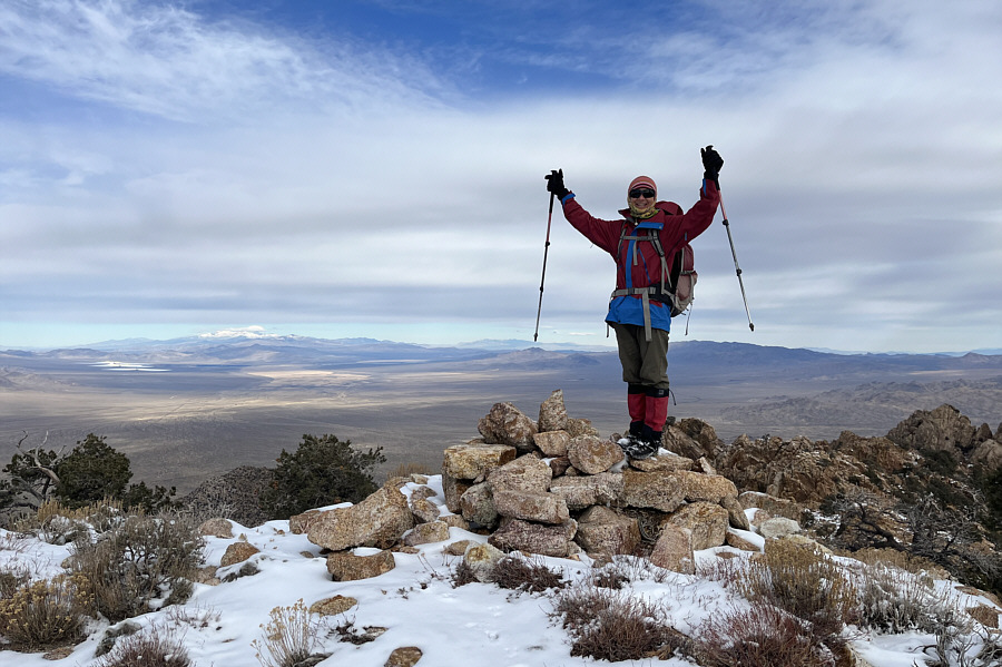
Our high point for the day but sadly, not the high point of the New York Mountains. Zosia reaches the summit of New York Peak 1 (2279 metres).
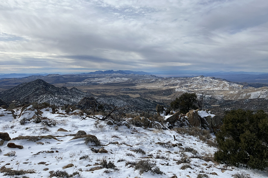
The Providence Mountains keep haunting me! The Providence Mountains and Granite Mountains are visible to the south on the centre horizon.
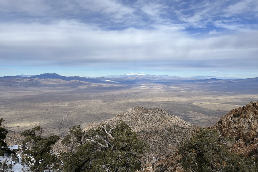
Las Vegas should be somewhere to the right behind the low black ridge. The snow-capped mountain on the centre horizon to the north is Charleston Peak.  Also visible at far left are Kingston Peak and Clark Mountain.  The gleam on the dark patch of land just left of centre is the Ivanpah Solar Electric Generating System (solar farm).

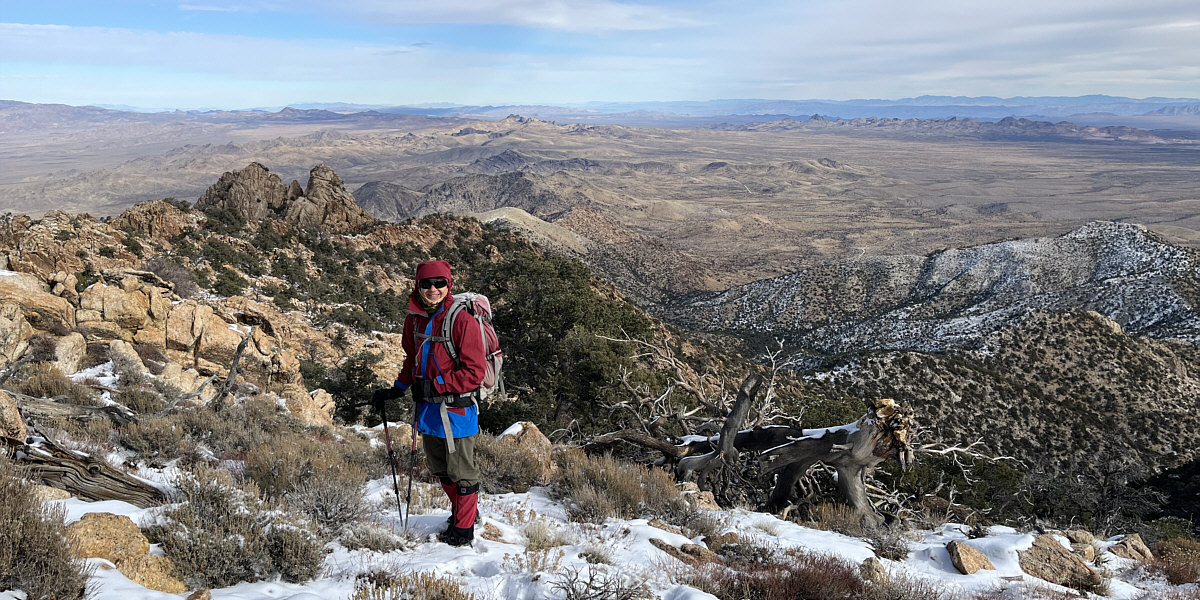
Sigh...too much snow for my liking today!

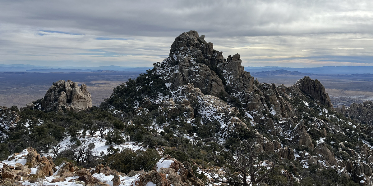
New York Peak 2 dominates the view to the southeast.
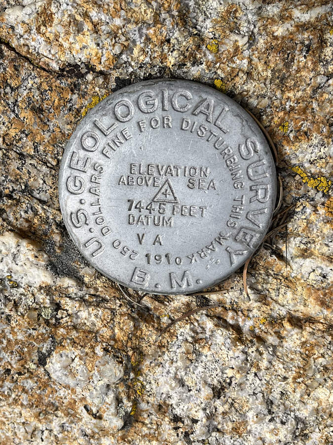
 

It's about 10 metres lower than my reading for the summit of New York Peak 1. Here is the New York Mountains benchmark which is located near the summit of New York Peak 1.
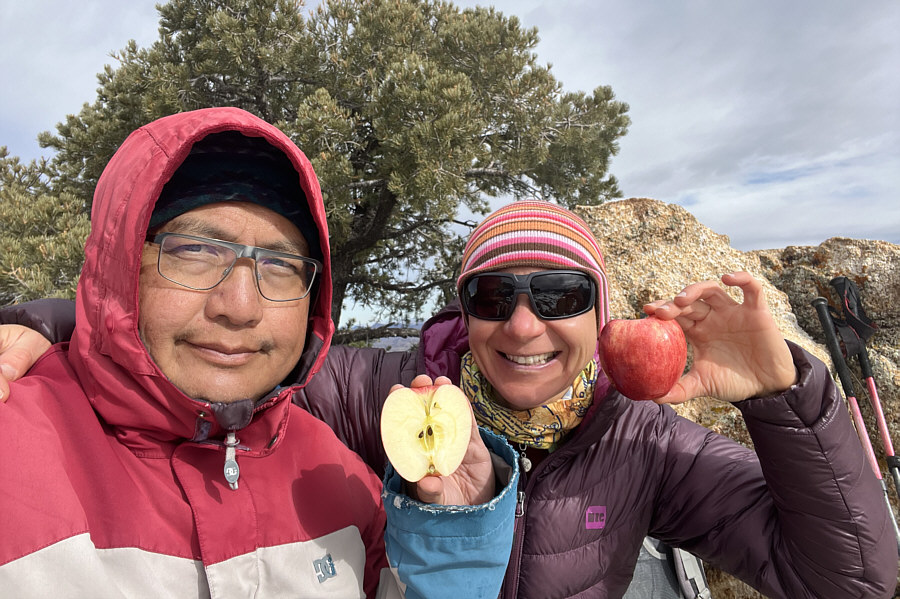
Start spreading the news... Sonny and Zosia share a "Big Apple" near the summit of New York Peak 1.

I hear an enchilada calling my name in Primm!

Here is a last look to the east from near the summit of New York Peak 1 before Zosia begins her descent.
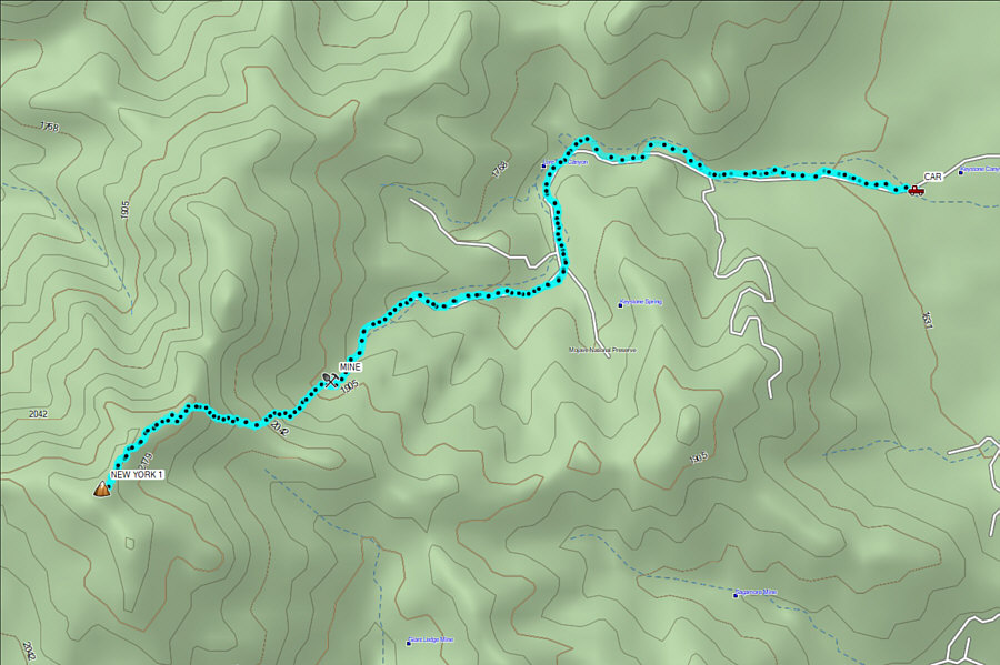
 

If I can make it there, I'll make it anywhere. It's up to you, New York, New York! Total Distance:  ~9.2 kilometres
Round-Trip Time:  6 hours 51 minutes
Net Elevation Gain:  689 metres

GPX Data