BOU AVENUE
OXO/Puzzle Peak Ramp

Looking to squeeze in another ski tour before the fast-approaching end of the season, Zosia Zgolak and I ventured up OXO/Puzzle Peak Ramp in Alberta's Banff National Park on 4 May 2024.  The naming of this most southerly bump along the officially-unnamed massif east of Dolomite Pass is a bit puzzling, so to speak.  The plethora of names from various online sources include "OXO Puzzle Peak", "Oxo/Puzzle Peak Ramp", "Puzzle Peak", "Puzzle Peak Ramp", "Watermelon Ridge", or simply "O Peak".  I have opted to use "OXO/Puzzle Peak Ramp" which I think best describes our objective and which distinguishes it from the higher "OXO Peak" further to the northwest.  I am still uncertain how the name "Puzzle" became associated with "OXO Peak" since it is not mentioned in the 2013 trip report by the Rocky Mountain Ramblers and only first appears, as far as I can tell, in Andrew Nugara's 2015 trip report.  Nugara does not explain the inclusion of "Puzzle", but perhaps there is a connection with an old brand of puzzles or the standard Tic-Tac-Toe game.  In any case, it is not puzzling why this is such an enormously popular ski tour given the jaw-dropping scenery and enticing open slopes.

Zosia and I started our ski tour from a conspicuous bare patch on the side of the Icefield Parkway (51.63877, -116.33648).  In winter conditions, the highway shoulder here might not be sufficiently plowed, and if so, it would be necessary to park at Mosquito Creek trailhead about a kilometre to the south.  Snow conditions were very crusty in the morning, but that actually made it easy to climb up the forested south end of Dolomite Peak which is the usual skier's access for OXO/Puzzle Peak Ramp.  We also benefitted from following some old tracks which led us efficiently up to tree line at the base of Dolomite shoulder, a worthy ski tour for another day.  A partially forested basin separates the base of Dolomite shoulder from the lower slopes of OXO/Puzzle Peak Ramp, and although it is probably least problematic to circle around it to the north, we were lazy and tried to cut across more directly.  This entailed a bit of unpleasant thrashing through some thick stands of spruce trees, but thankfully, the misery was short-lived as we quickly broke out of the forest for good.  The ensuing 390-metre grind up open slopes was uncomplicated but insufferably long.  Upon reaching the ridge crest, we ditched our skis and boot-packed the remaining 70 metres of snow and rock to a corniced high point marked with a cairn.

When Zosia and I had our fill of eye-popping views, we retraced our steps back down to our ditched skis.  With our climbing skins packed away, we proceeded to ski down the open slopes that we had come up.  The snow was initially quite grabby, and I had to fight hard to control my skis while descending the upper slopes.  Things improved as we transitioned to the lower slopes, and we enjoyed the best skiing of the day here.  We skied a different line through the aforementioned basin, and other than one very steep drop near the end, this route was much better than the one we took on ascent.  We then tried to stay as high as possible while shuffling along the base of Dolomite shoulder, but we managed to do so without having to re-attach our climbing skins.  The remaining descent through the trees to the highway was hardly pretty, but at least the snow had softened up enough to make snow-plowing easier.  By some small miracle, we popped out of the forest right where we parked to end our ski tour.
Bring your rock skis? 
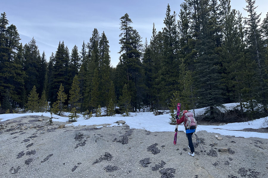
Zosia walks up a dirt bank beside the highway before putting on her skis.
Just need it to soften up later for the descent! 
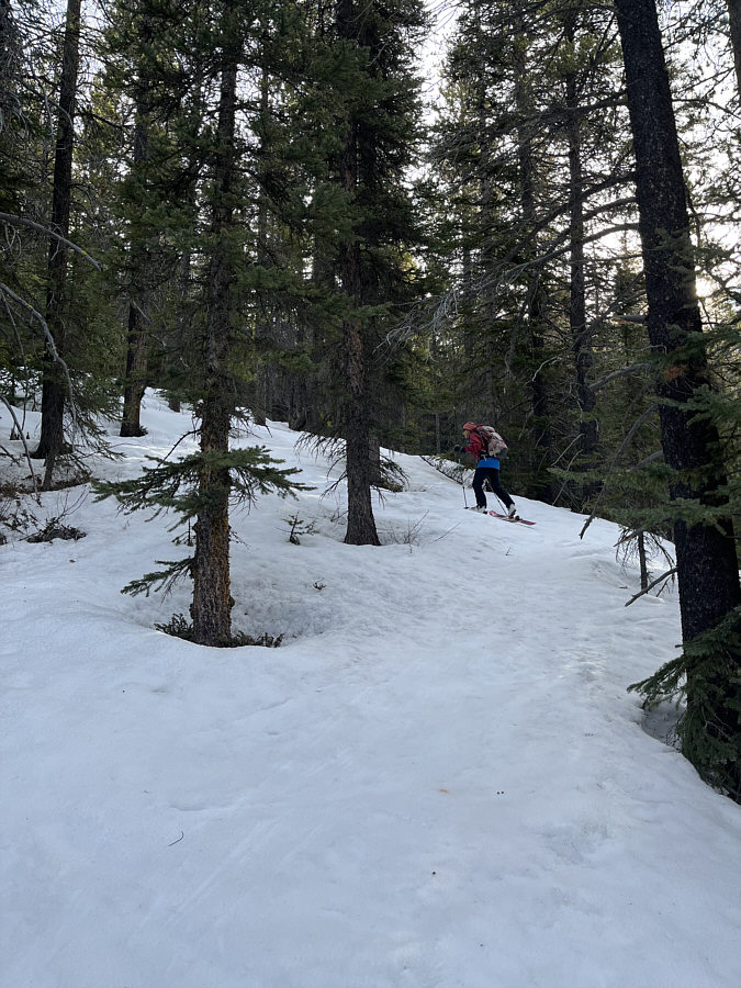
The crusty snow is very supportive and actually makes travel easier.

It's best to go left here and avoid the trees as much as possible.

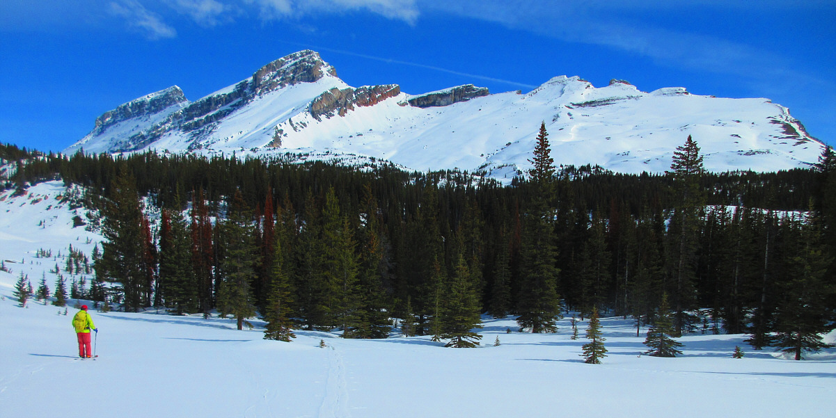
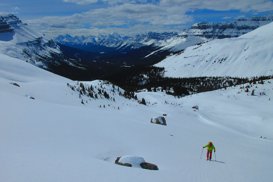
Sonny looks for a way across a forested basin to the base of OXO/Puzzle Peak Ramp (right).  The higher OXO Peak is the bump at far left.

Photo courtesy of Zosia Zgolak


Don't go this way! 
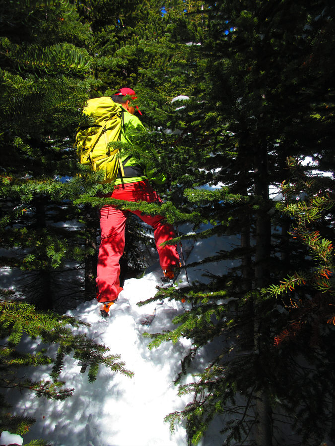
Sonny runs into thick forest while taking a direct line across the basin.

Photo courtesy of Zosia Zgolak

Still another 400 metres to climb from here...ugh! 
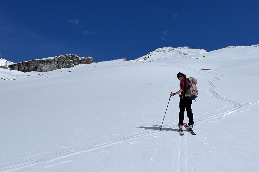
Zosia skis past the last trees at the base of OXO/Puzzle Peak Ramp.
It's been almost 10 years since I climbed it. Sigh.

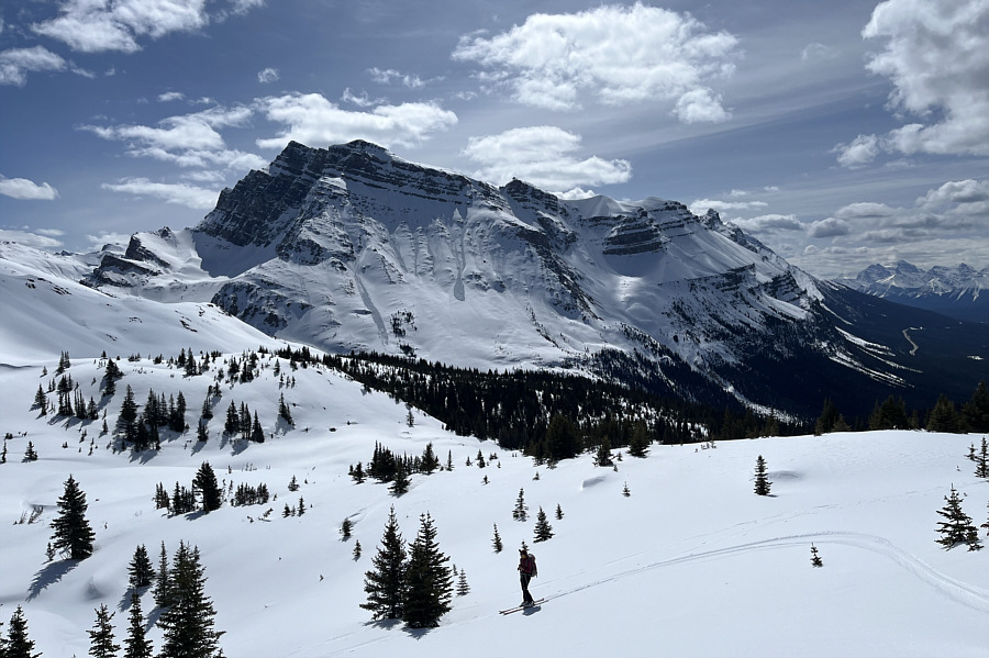
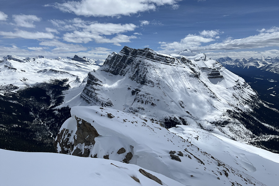
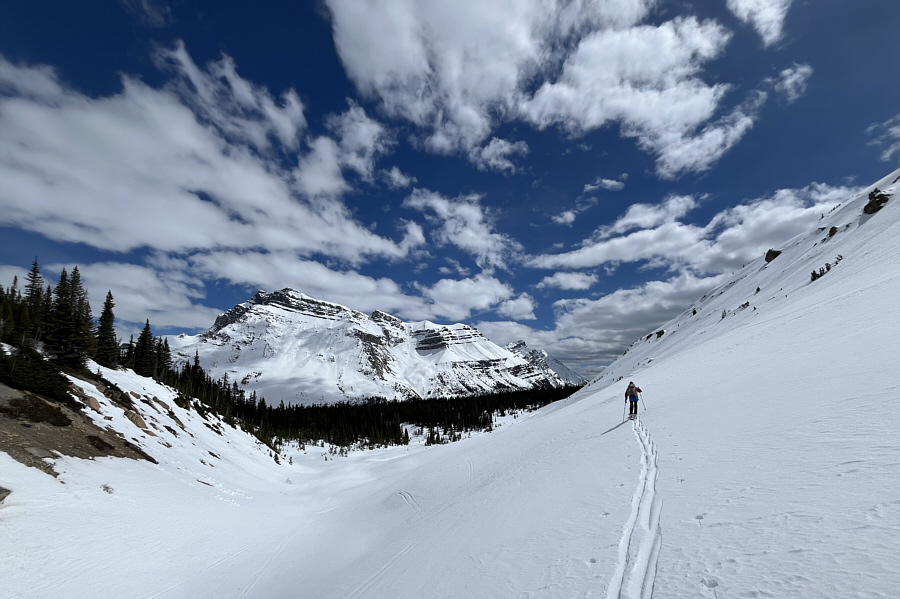
Noseeum Mountain dominates the view to the southeast.

Just gotta put one ski in front of the other...and repeat! 
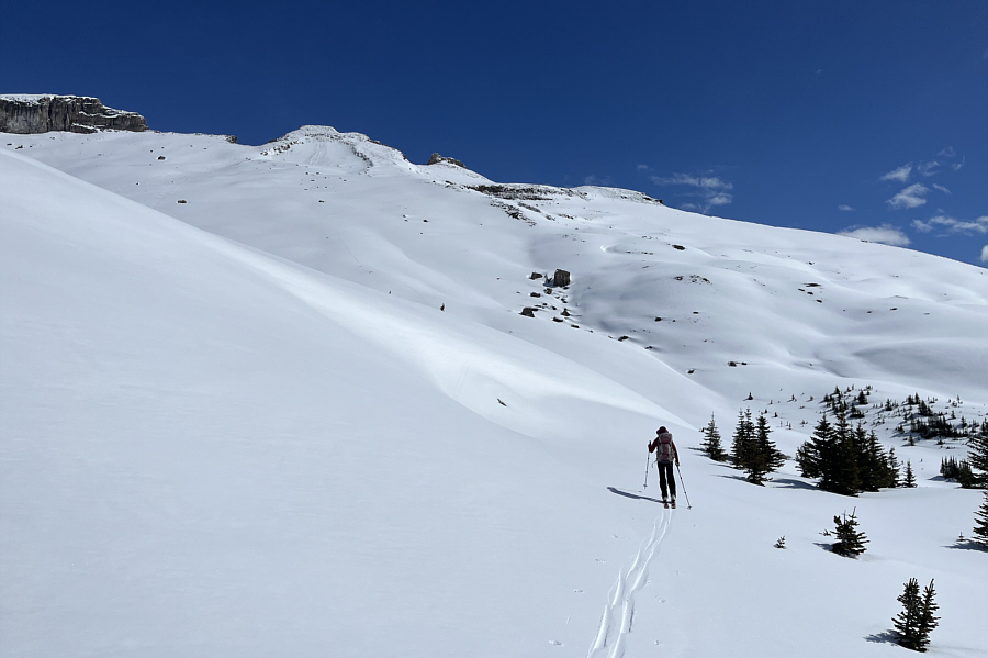
Due to foreshortening, the ridge crest is farther away than it looks from the lower slopes of OXO/Puzzle Peak Ramp.
Are we there yet?

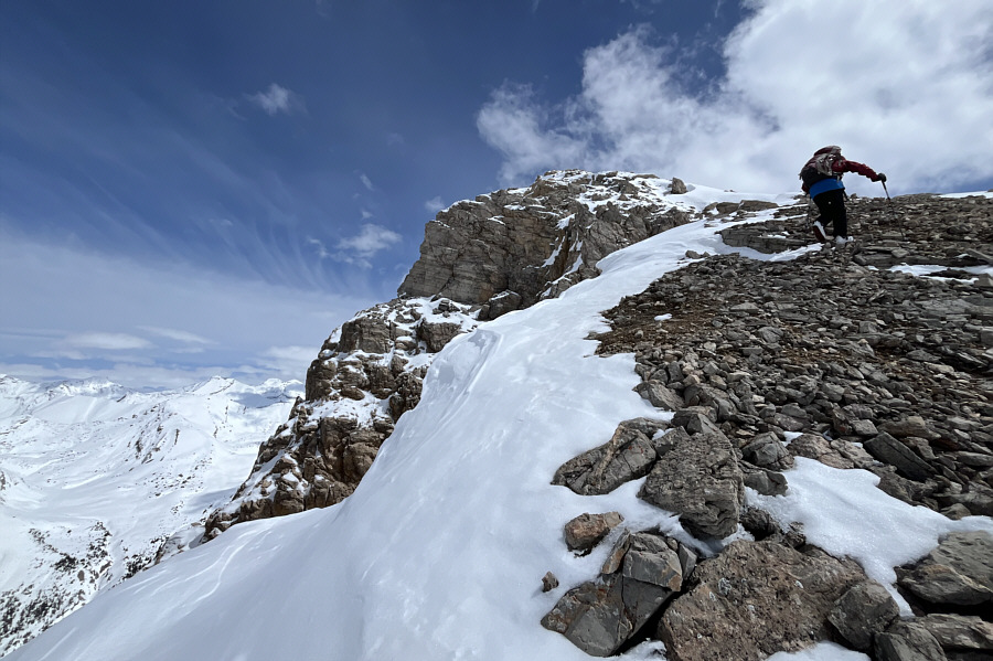
Sonny struggles to keep up with Zosia while climbing up OXO/Puzzle Peak Ramp.

Photo courtesy of Zosia Zgolak

Luckily the snow wasn't icy enough to warrant carrying an ice axe.

After ditching her skis on the ridge crest, Zosia climbs up the last steep slope before the top.

It was a grunt to get up here, but it was all worth it!

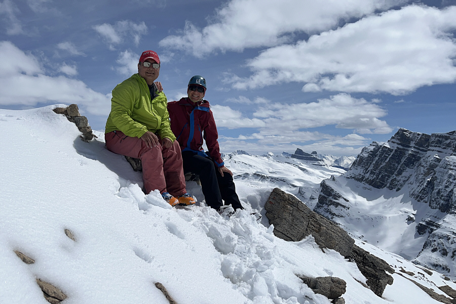
Sonny and Zosia relax on the high point of OXO/Puzzle Peak Ramp (2760 metres).

Andrew Nugara calls the closer peak at left "OX"! 
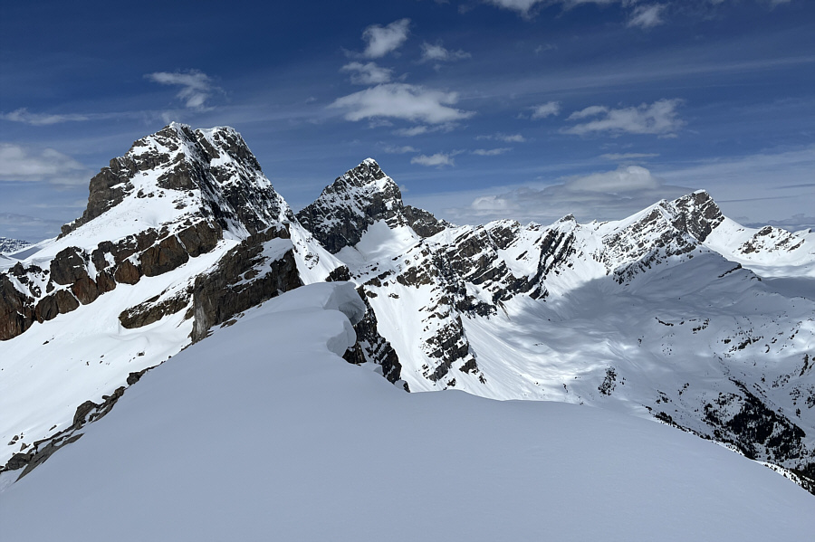
In this view to the northwest, OXO Peak is just left of centre while Watermelon Peak is at far right.
Still looks like mid-winter here! 
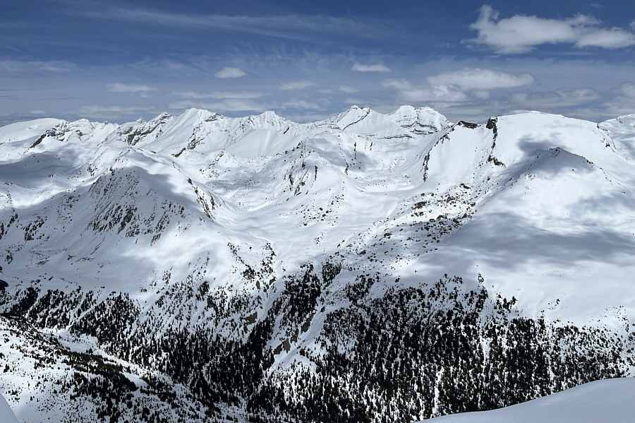
Mount Willingdon (right of centre) is among several peaks still mostly plastered with snow to the northeast.
Molar Mountain is on my to-do list...maybe this summer... To the southeast, Noseeum Mountain is seemingly flanked in the distance by Molar Mountain (left) and Mount Hector (right).

Looks almost like resort skiing!

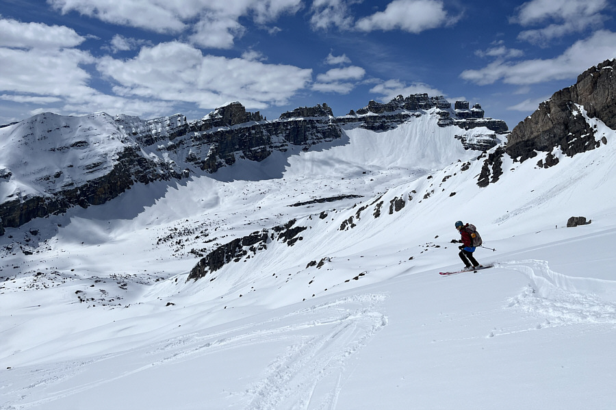
Sonny skis down OXO/Puzzle Peak Ramp.

Photo courtesy of Zosia Zgolak


Too bad the snow quality didn't match the scenery! 
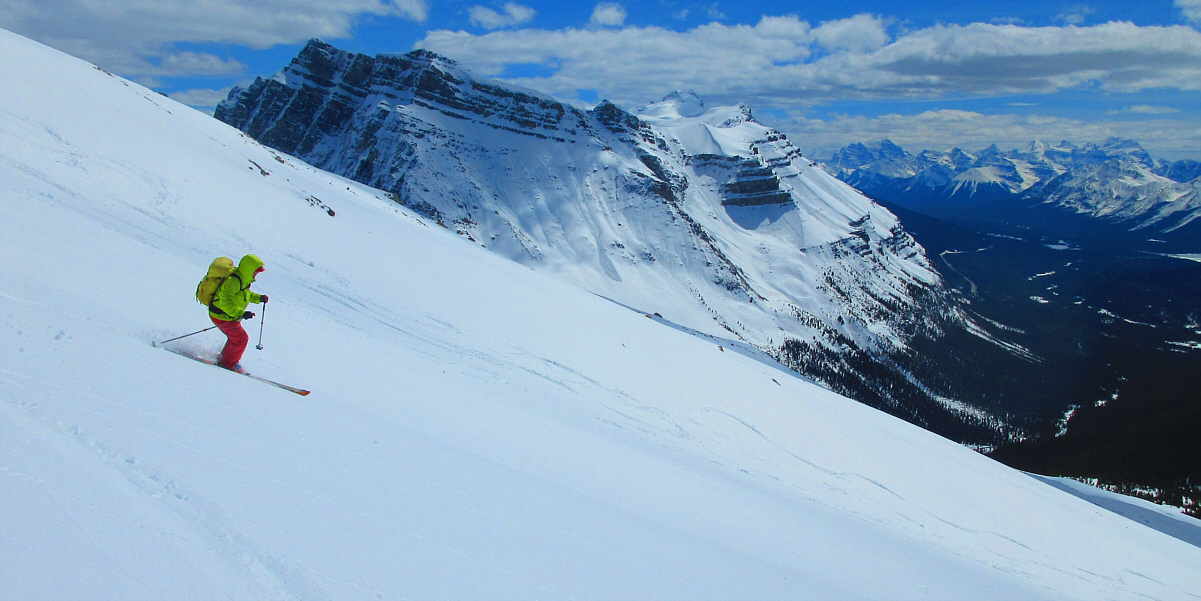
Dolomite Peak dominates the background as Zosia descends the slope.
The lower slopes might have been worth a yo-yo! 
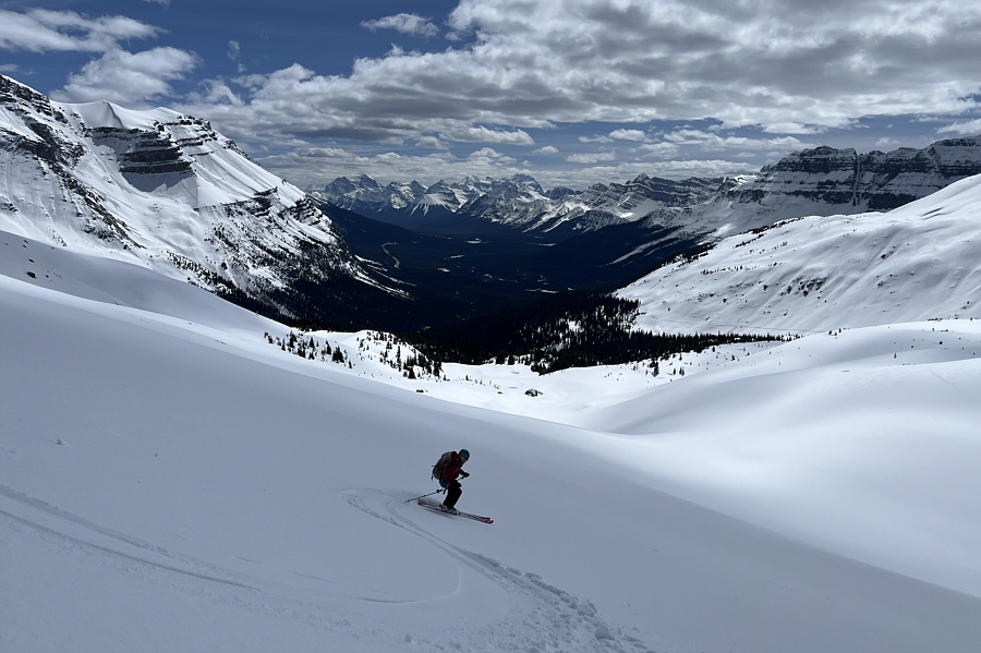
Zosia makes a few turns further down the slope where the snow is surprisingly much better for skiing.
Also the better exit for the Dolomite Circuit instead of going straight here! Zosia tries to stay as high as possible while traversing along the base of Dolomite shoulder.
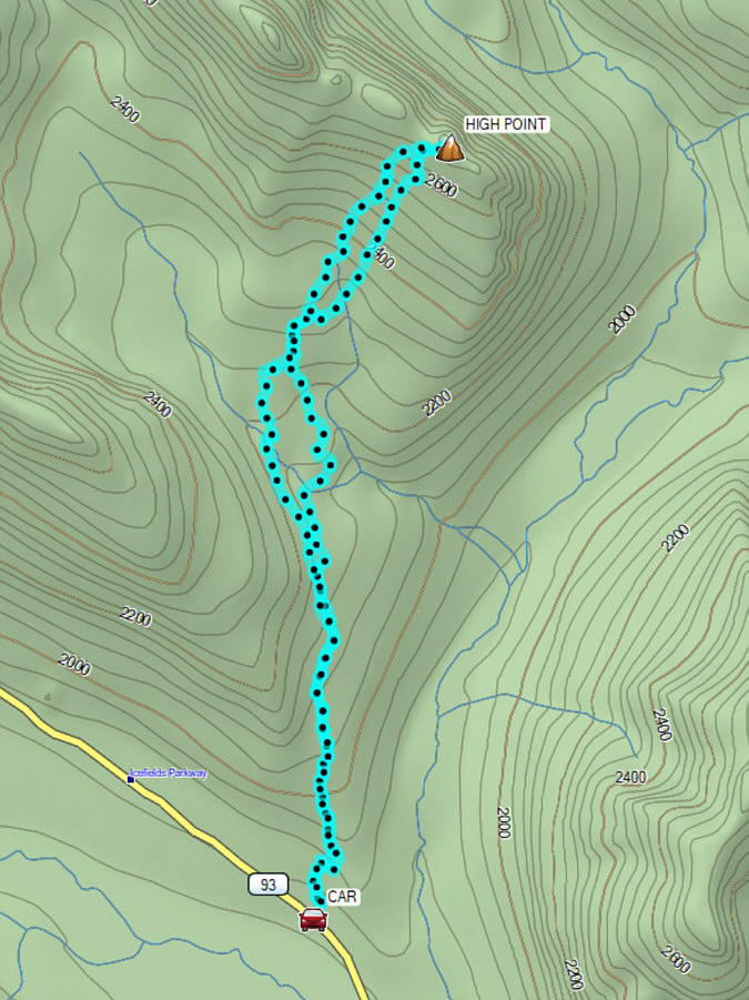
The scenery more than made up for the largely unspectacular ski conditions! Total Distance:  11.7 kilometres
Round-Trip Time:  7 hours 9 minutes
Cumulative Elevation Gain:  880 metres

GPX Data