

Photo courtesy of Zosia Zgolak

Stoney Trail skirts along the western bank of Kananaskis River.
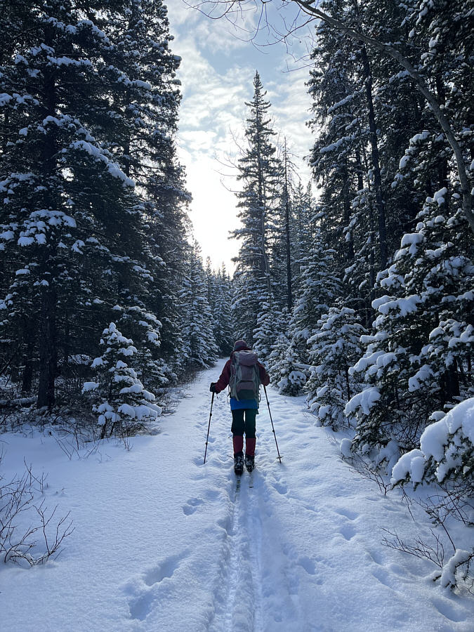
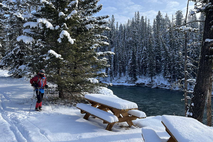
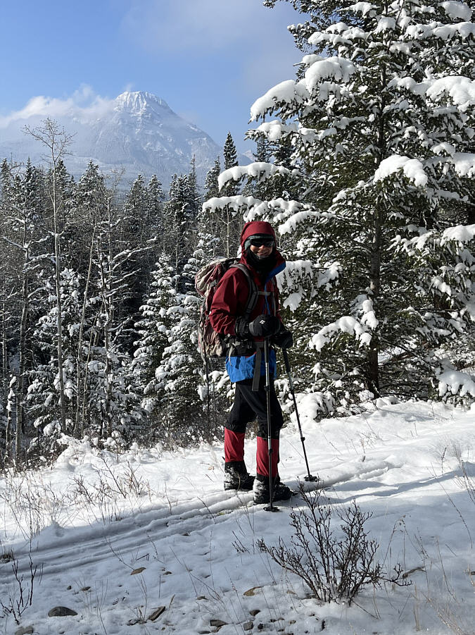

Photo courtesy of Zosia Zgolak

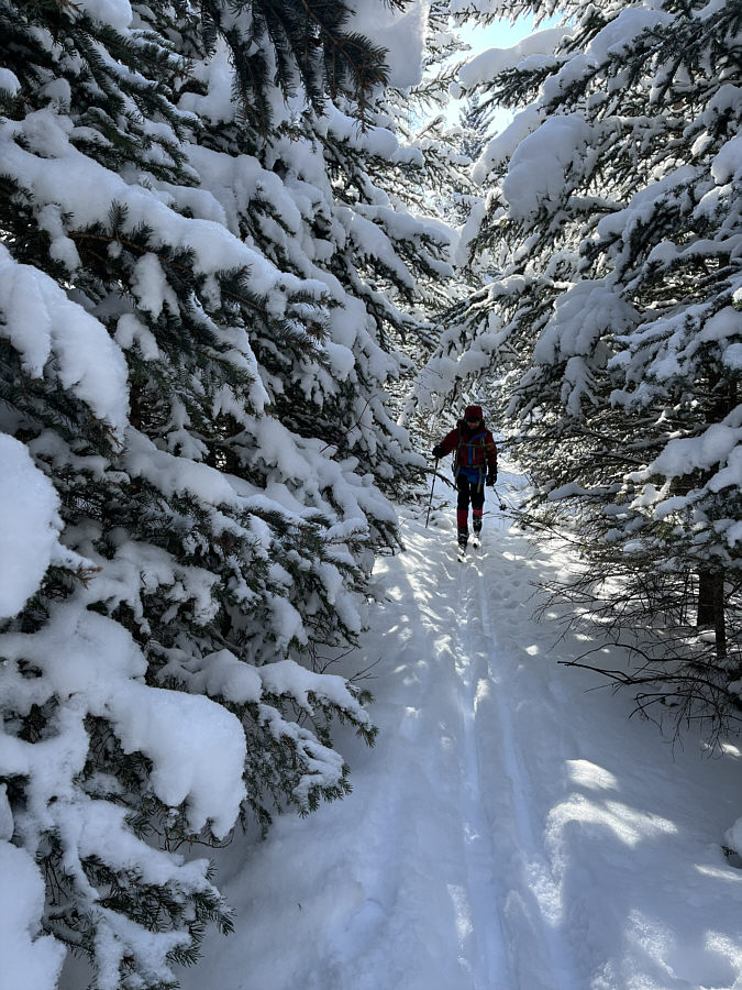
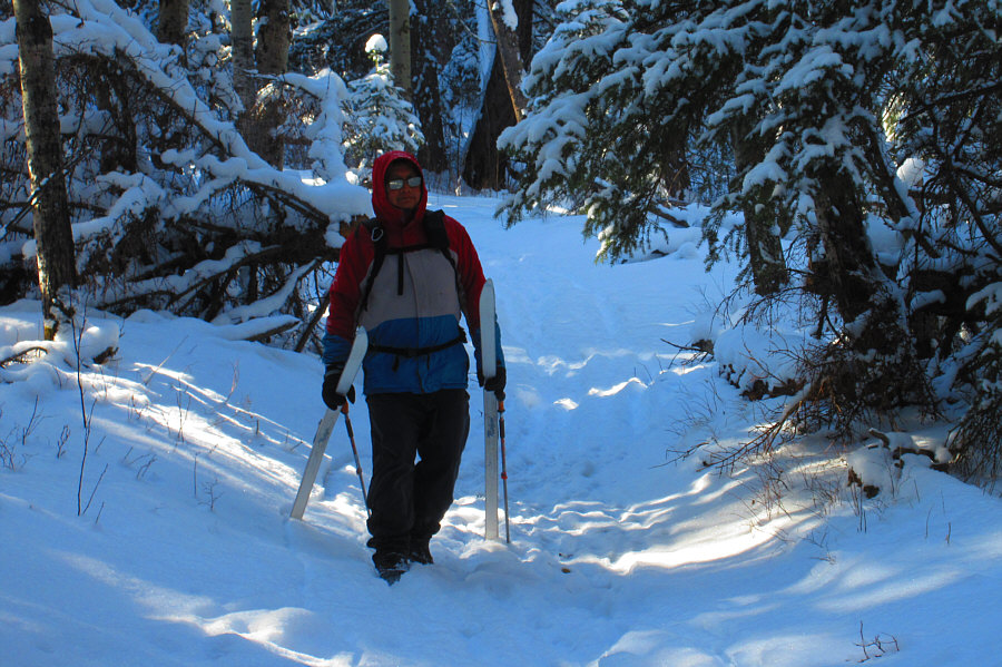
Photo courtesy of Zosia Zgolak

|
|
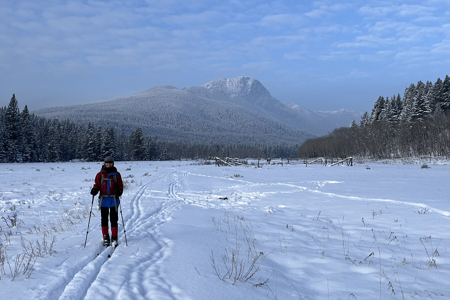
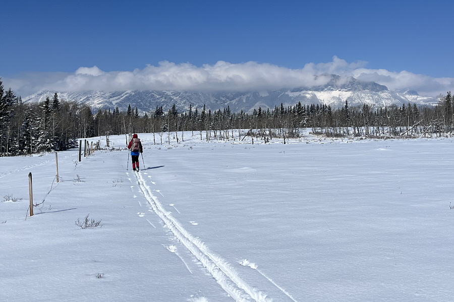
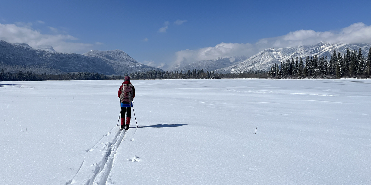
Zosia begins skiing at the northern terminus of Stoney Trail. |
|
|
Two wapitis are surprised to see
intruders on their territory. Photo courtesy of Zosia Zgolak |
|
|
Zosia passes the remnants of a lodge built by indigenous people for a religious ceremony (ti-jurabi-chubi). In the background is Yates Mountain (Barrier Lake Lookout). |
|
|
Stoney Trail skirts along the western bank of Kananaskis River. |
|
|
Much of the northern section of Stoney Trail is forested. |
|
|
Zosia arrives at a picnic site along the river. |
|
|
Zosia catches a glimpse of Mount Baldy in the distance as she climbs away from the river. |
|
|
Sonny has some trouble getting over a fallen log across the trail. Photo courtesy of Zosia Zgolak |
|
|
Stoney trail crosses under a power line here. |
|
|
Zosia follows a connector trail that eventually leads to YMCA Camp Chief Hector. |
|
|
Sonny is not too proud to pick up his
skis and walk a lengthy downhill section that is too steep for his
liking. Photo courtesy of Zosia Zgolak |
|
|
Zosia and Sonny stop for a break on a knoll just outside YMCA Camp Chief Hector. |
|
|
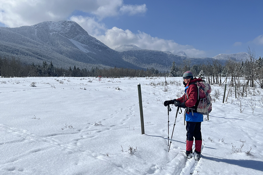
Zosia follows the boundary fence for YMCA Camp Chief Hector. The top of Mount Yamnuska is barely visible through the clouds at distant right. |
|
|
Zosia notices a red disc golf basket inside the boundary of YMCA Camp Chief Hector. |
Chilver Lake is still mostly frozen and snow-covered. Recognizable peaks in the distance include Biffy Peak (Engagement Mountain) at left and Door Jamb Mountain at right.
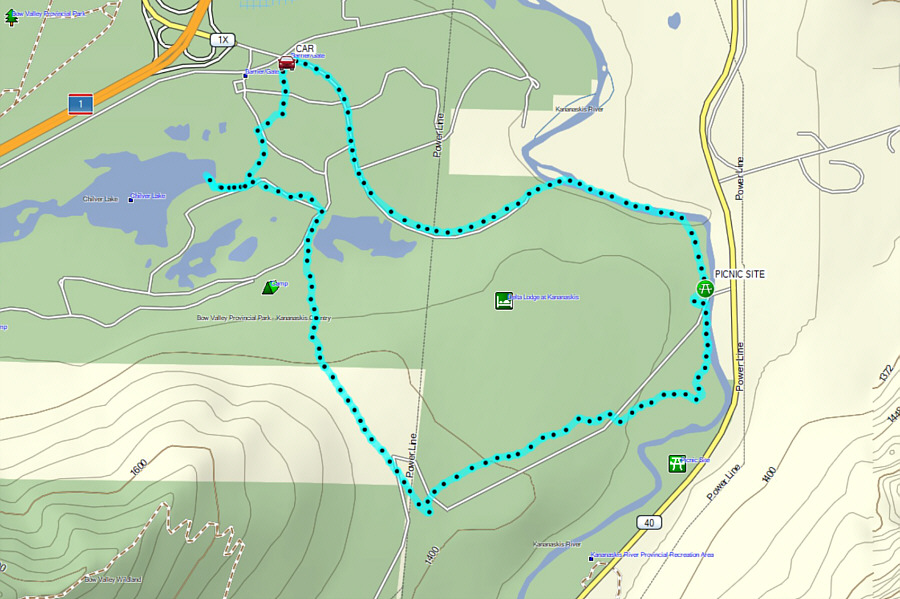 |
Total Distance: 11.2 kilometres Round-Trip Time: 5 hours 28 minutes Cumulative Elevation Gain: 104 metres |