BOU AVENUE
Elko Hill Jr And West Hill Viewpoint

Kicking off a three-week road trip on 27 June 2025, Zosia Zgolak and I started with a modest hike up a small unnamed hill located in the southern outskirts of Elko, British Columbia.  I have seen this hill many times while driving past the town, and although it is much too small to be a worthwhile full-day objective on its own, I always figured that it would make for a nice leg-stretcher to break up a long drive.  Unaware of any online or local references, I have taken the liberty to call it "Elko Hill Jr" given its close proximity to another bigger hill which we had previously hiked and given the name, "Elko Hill".

From Elko, drive east on Alexander Avenue which bends south and becomes Cascade Avenue after passing Kyrke Street.  Go straight through a 4-way intersection with River FSR and Elko Grasmere Road and drive another 1.4 kilometres before veering right across a short connector which merges with Elko Grasmere Road (it is possible to drive to this same spot by turning right at the 4-way intersection).  Continue south for about 100 metres and make a hairpin right turn onto a double-track which immediately crosses a reclaimed railway and passes through a fence.  Park somewhere here without blocking any of the roads or the double-track.

Heading northward along the double-track, Zosia and I passed through the fence, and although I am not entirely sure if Elko Hill Jr sits on private land or not, we did not see any "No Trespassing" signs.  A couple of local women jogging up the same double-track seemed to allay any remaining worries about illegal access.  After walking about 400 metres along the double-track, we veered right onto a spur road heading straight up the south end of our hill.  A steep but short climb led us to the open top of the hill which has two distinct high points.  We easily walked over the lower southern high point and across a short dip to the higher northern high point.  Although the sky was overcast, we were still granted far-reaching views in all directions, and I imagine that some of the surrounding mountains would look spectacular on a bluebird day especially in winter.

Instead of backtracking the same way, Zosia and I opted to traverse Elko Hill Jr completely by descending its north end.  This was initially easy, but lower down, we ran into some bushy forest and steeper terrain which was not so pleasant to descend.  The last few metres were a bit of a thrash, but fortunately, the misery was short-lived as we popped out of the forest near the reclaimed railway which runs alongside Elko Grasmere Road.  We started following the railway southward back to our starting point but quickly realized that it was far easier to walk along the road.  Twenty minutes later, we were back at our car.
Maybe not the best place to park! 
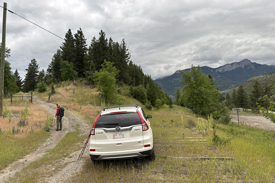
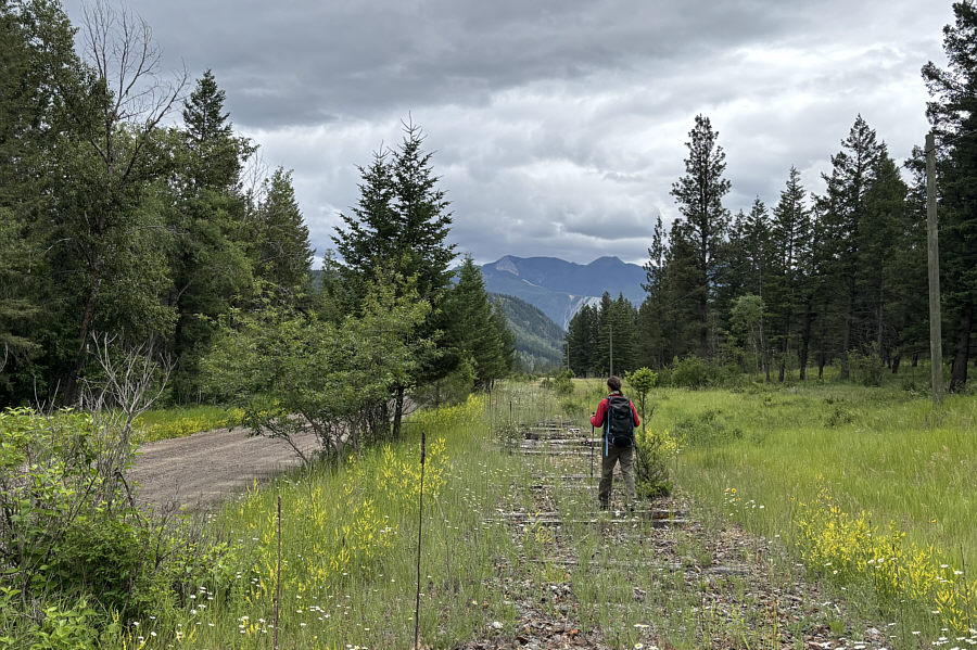
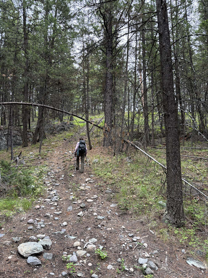
Zosia begins her hike up Elko Hill Jr on a double-track beside a reclaimed railway.
Most of the hard work is right here! 
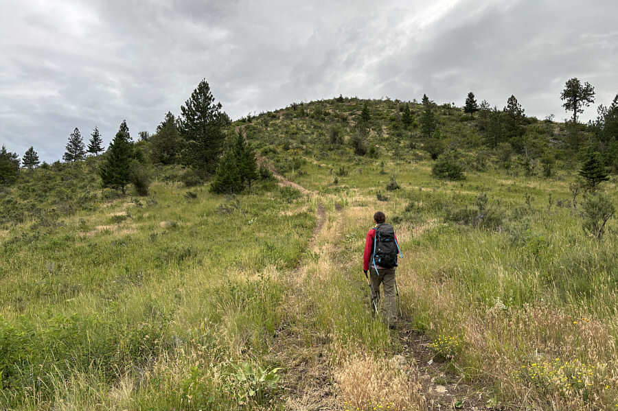
A spur road goes up the south side of Elko Hill Jr.
Two for the price of one! 
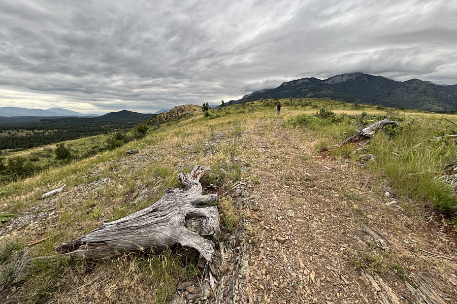
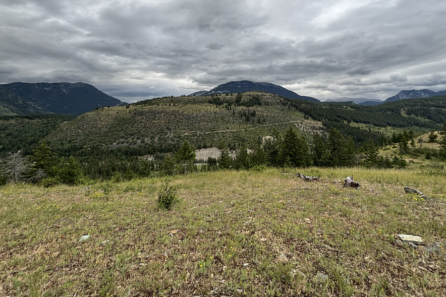
The top of Elko Hill Jr has two distinct high points.
Need some easy route-finding ahead to avoid the bushes in the dip. Zosia walks over the southern high point (1041 metres) en route to the northern high point.
First summit of our summer road trip!

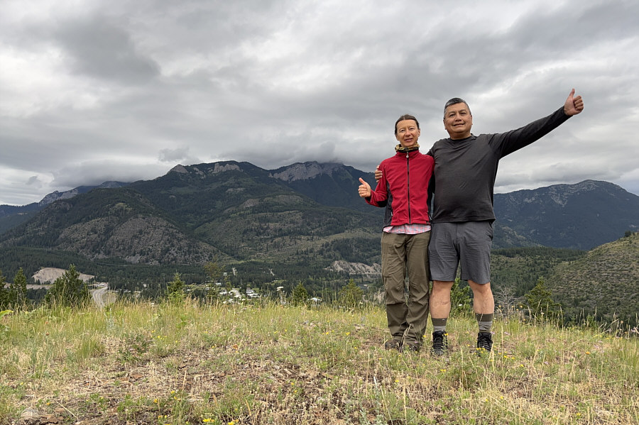
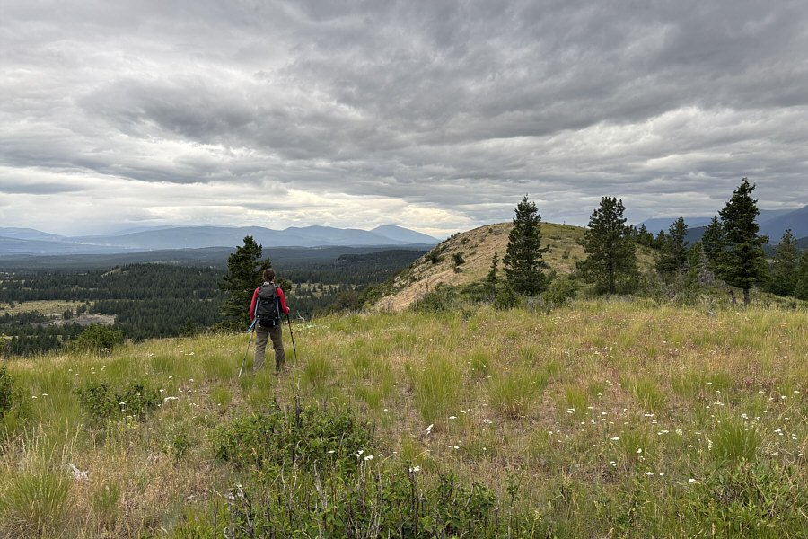
Zosia and Sonny stand on the northern high point of Elko Hill Jr (1047 metres).

Ironically, the views from the top of bigger Elko Hill are worse than from Elko Hill Jr! To the east is Elko Hill.

I think that lumber yard is bigger than the town of Elko!

The lumber yard to the south is backed by the northern peaks of Galton Range (left) and Sheep Mountain (right).


Looks easy enough...at first! 
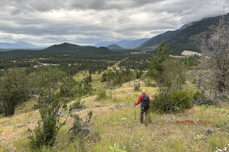
Zosia descends the north side of Elko Hill Jr.
Not as easy to descend here as expected! 
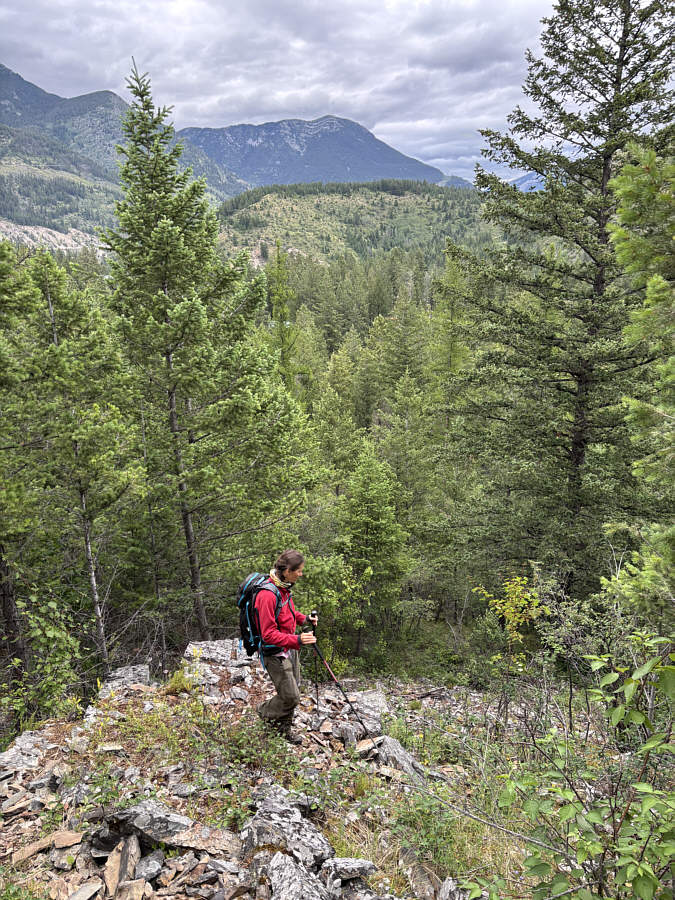
The very north end of Elko Hill Jr is actually quite steep and bushy.
It's surprising that most of the railway ties were left in place here. The reclaimed railway on the east side of Elko Hill Jr can be followed back to the starting point, but it is far easier to walk on the adjacent gravel road.
A conveniently short hike to stretch the legs if passing through the area. 
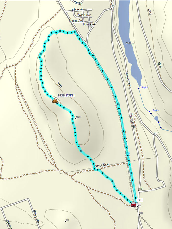
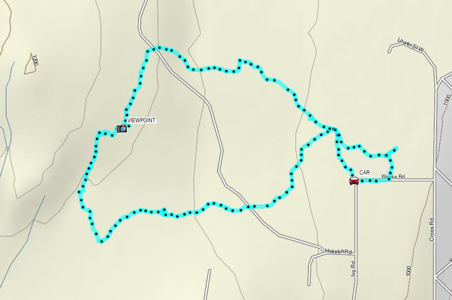
Total Distance:  3.3 kilometres
Round-Trip Time:  1 hour 18 minutes
Cumulative Elevation Gain:  90 metres

GPX Data

With the day still young, Zosia and I drove to the west end of Cranbrook, British Columbia and hiked to the top of some bluffs known collectively as West Hill Viewpoint.  We got the idea for this loop hike from AllTrails which starts from a small pullout (49.50902, -115.80080) at the corner of Weeks Road and Ivy Road.  The actual hike to the viewpoint is technically easy, but without a map or GPS track, it would not be hard to get lost in the maze of mountain biking trails crisscrossing the area.  We did the loop in a clockwise direction, and the southern half goes through mostly viewless forest.  Only at the viewpoint does the hike pay off with unobstructed views of the city.  On this day, clouds obscured most of the rugged mountains on the eastern horizon, but I imagine that with clearer skies, the panorama would be spectacular especially late in the day.

Zosia and I took a short break at the viewpoint before descending along the northern half of the loop.  The terrain is a bit more open here, but once again, the numerous trails going in every direction can be tricky to navigate.  Indeed, we actually missed a turnoff not far from the trailhead and had to backtrack a bit before popping out onto Weeks Road about 130 metres east of our car.
There are other starting points besides this one. 
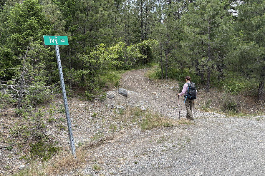
The trail to West Hill Viewpoint begins at the corner of Ivy Road and Weeks Road.
Good practice for higher summits! 
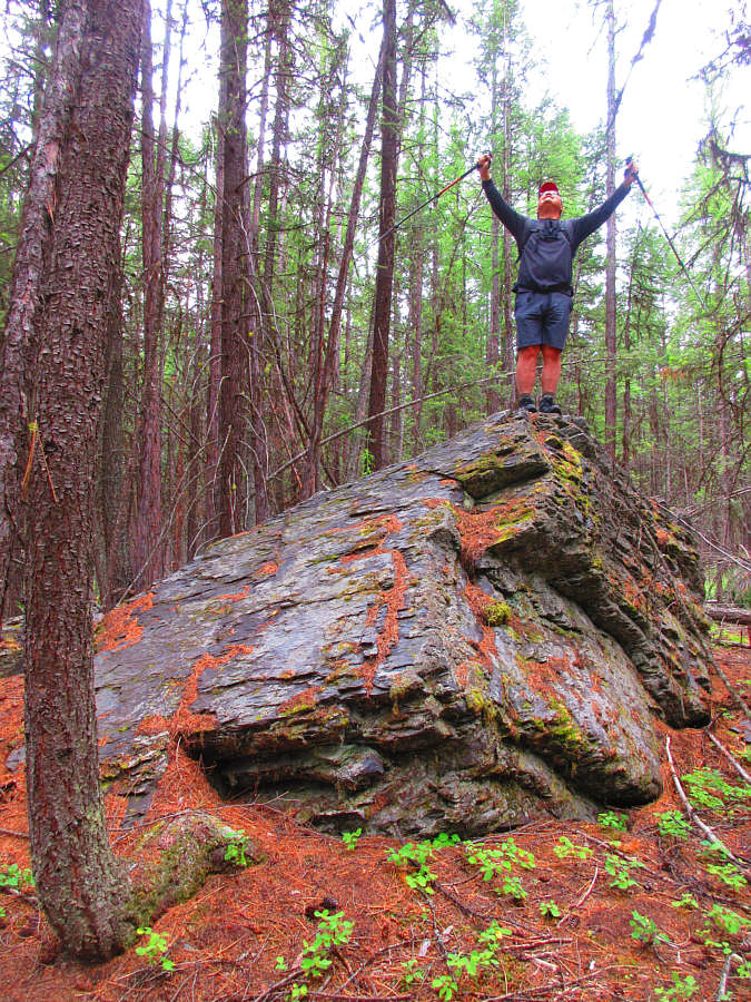
Sonny feels jubilant after climbing an erratic beside the forested trail.

Photo courtesy of Zosia Zgolak

A map is essential to navigate the maze of unsigned trails in the area. Zosia climbs up a steep section of trail.
Unfortunately, it's not a summit! Sonny and Zosia arrive at West Hill Viewpoint (1167 metres).

Might be worth returning for a sunset-evening hike on a clearer day...

The viewpoint grants a comprehensive view of the city of Cranbrook.


Sorry, Angie. There was never an old ski resort on Cranbrook Mountain! 
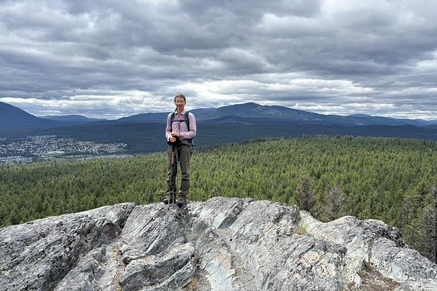
Cranbrook Mountain can be seen to the south behind Zosia.
Potentially good ski slopes here! 
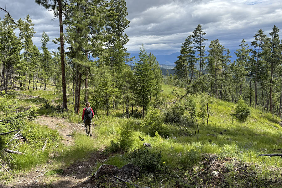
The terrain is more open along the northern half of the loop.
O Tannenbaum! 
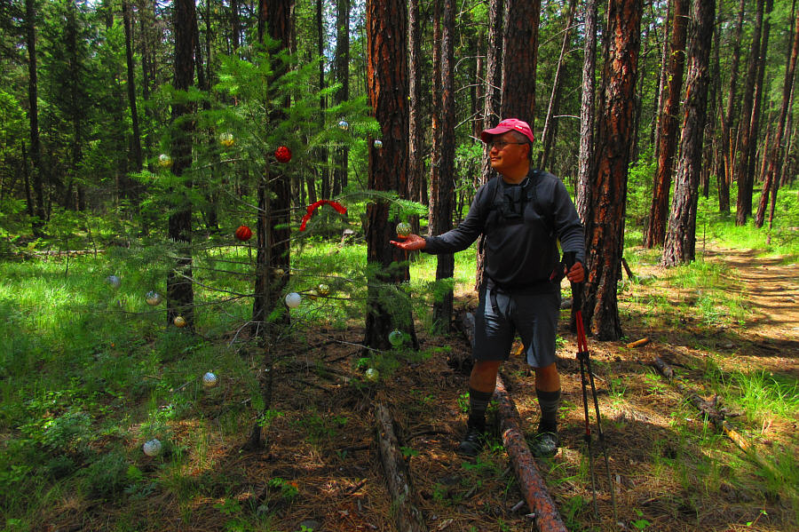
Sonny comes across a decorated Christmas tree during the hike out.

Photo courtesy of Zosia Zgolak

An easy but worthwhile hike to a superlative viewpoint. Total Distance:  4.6 kilometres
Round-Trip Time:  1 hour 50 minutes
Cumulative Elevation Gain:  131 metres

GPX Data