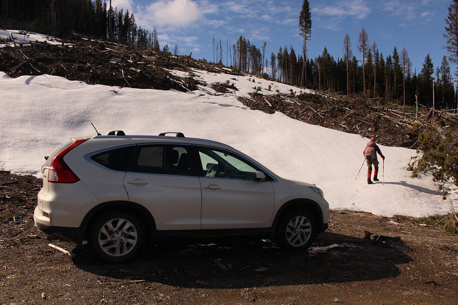
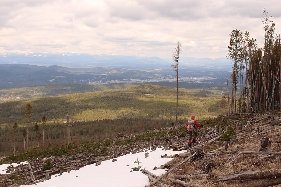
Zosia starts climbing up a cut block directly above the parking spot.
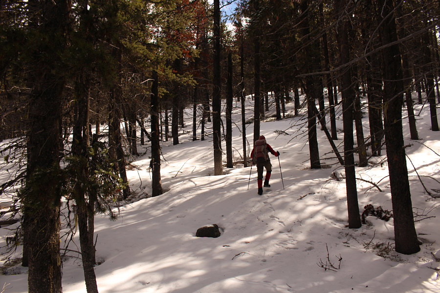
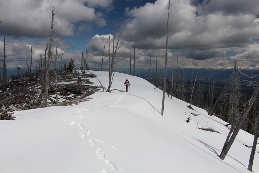
Zosia easily walks on top of lingering snow cover in the forest.
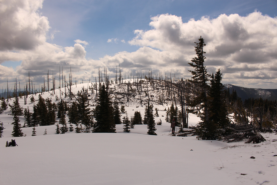
Zosia heads for the summit which is barely visible just left of the tall tree on the right.
|
|
Zosia starts climbing up a cut block directly above the parking spot. |
|
|
Zosia easily walks on top of lingering snow cover in the forest. |
|
|
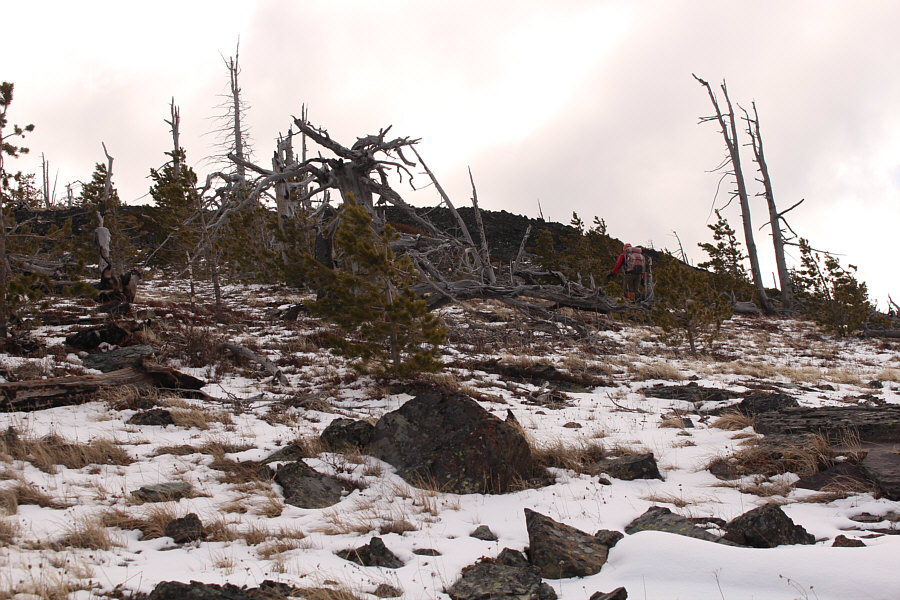
The snow cover thins out a bit near the top. |
|
|
Zosia heads for the summit which is barely visible just left of the tall tree on the right. |
|
|
Sonny and Zosia stand on the summit of Cranbrook Mountain (2061 metres). |
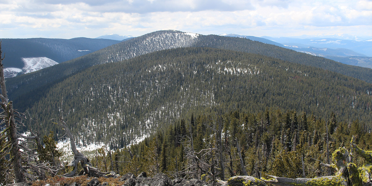
Moyie Mountain sits about three kilometres further to the south.
 |
Zosia backtracks along the summit ridge on supportive snow. |
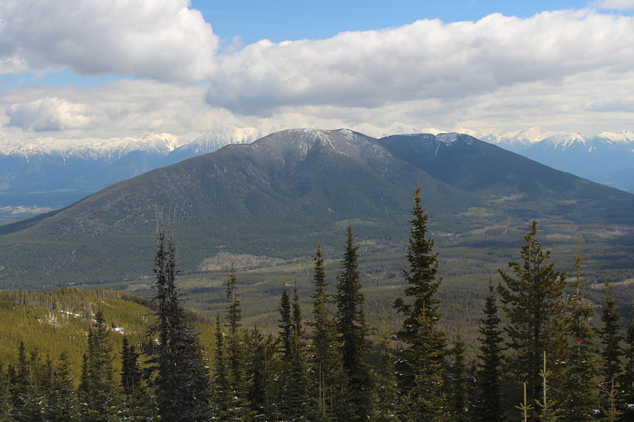 |
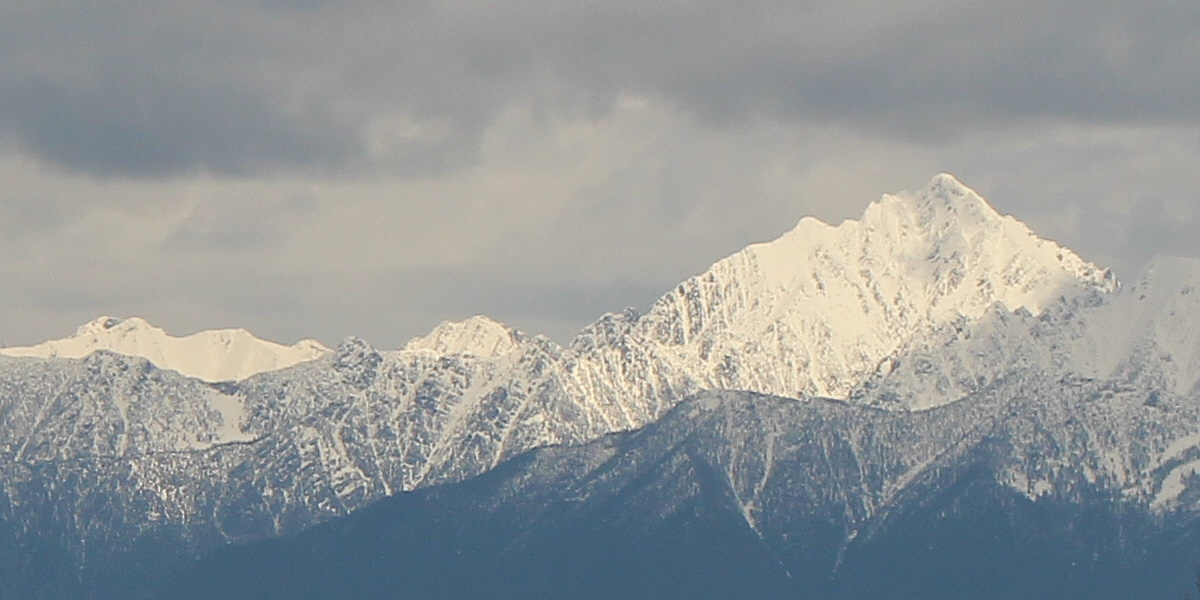
Mount Baker dominates the view to the northeast. |
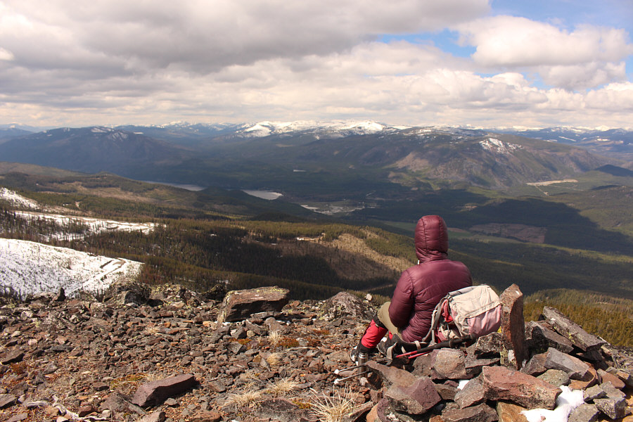 |
Zosia takes a break at a viewpoint overlooking Moyie Lake in the distance. |
 |
The city of Cranbrook can be seen in the distance as Zosia descends the cut block above her starting point. |
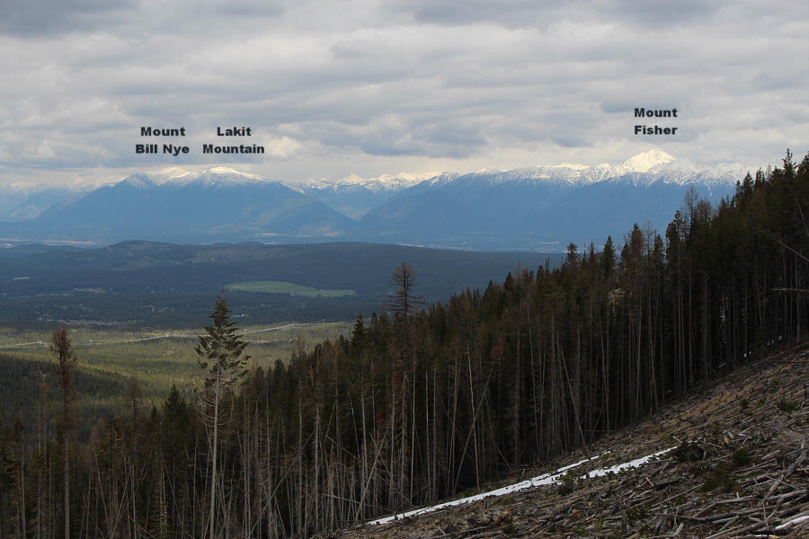 |
From the parking spot, there is a good view of several prominent landmarks in this part of the Canadian Rockies. |
Mount Fisher is the most iconic mountain in the Cranbrook area.
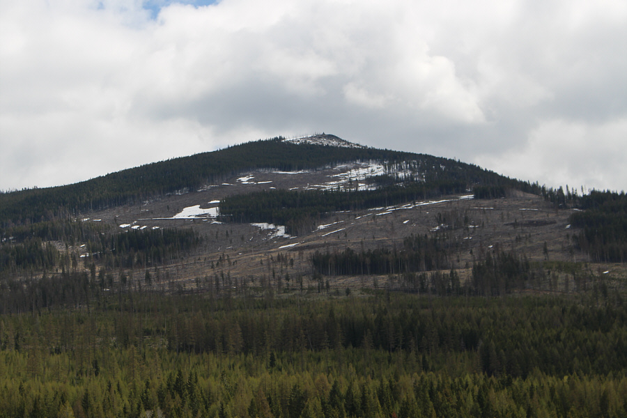 |
Here is a last look at the western slopes of Cranbrook Mountain from the approach road. |
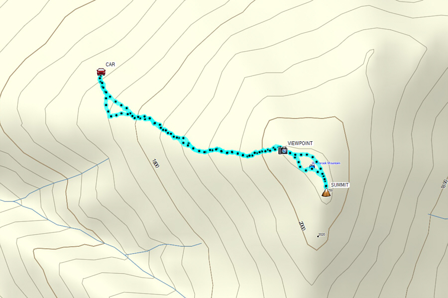 |
Total
Distance: 3.4 kilometres Round-Trip Time: 3 hours 13 minutes Net Elevation Gain: 375 metres |