 |
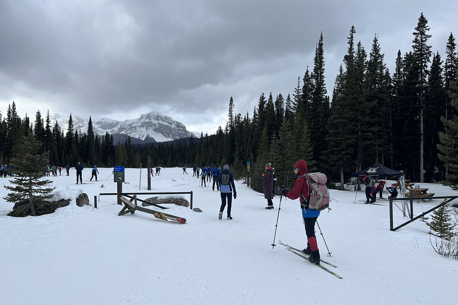
Mount Shark trailhead is a busy place on this day. |
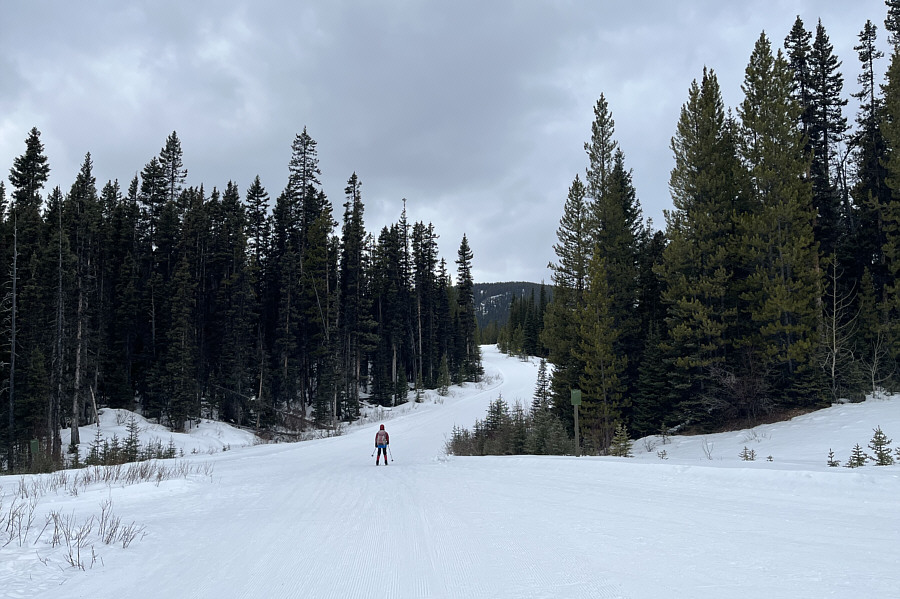 |
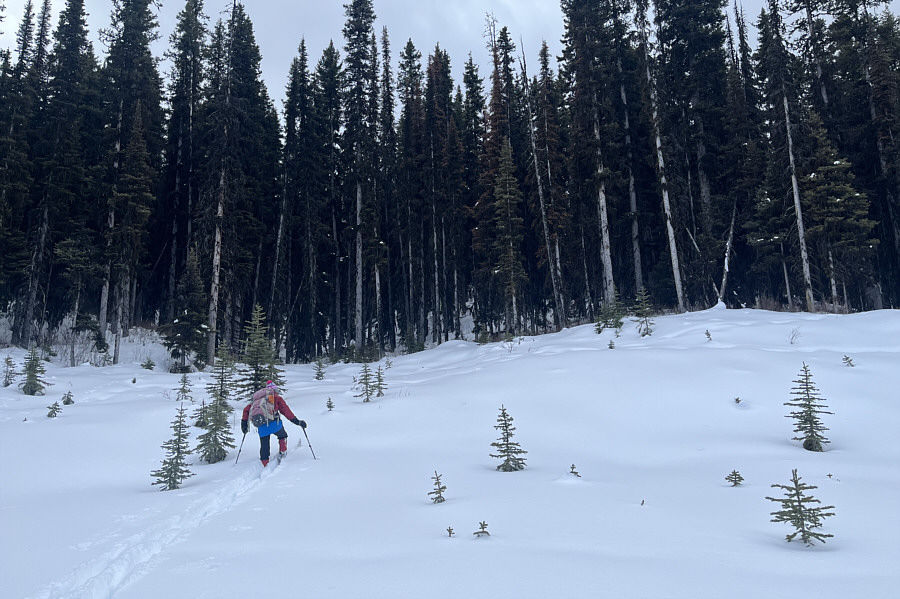
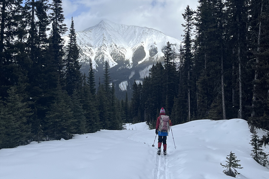
Zosia makes good progress along Watridge Lake trail. |
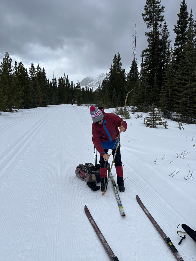 |
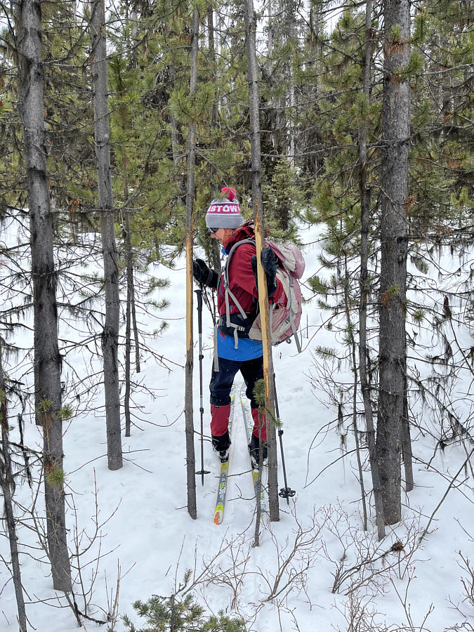
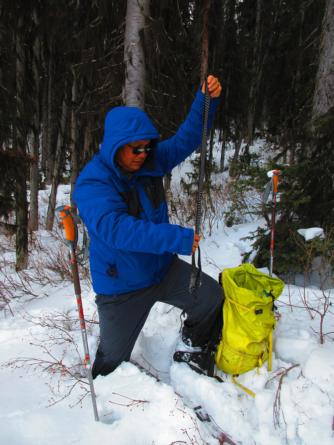
Preparing to enter the backcountry, Zosia attaches climbing skins to her skis. |
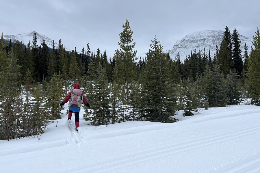 |
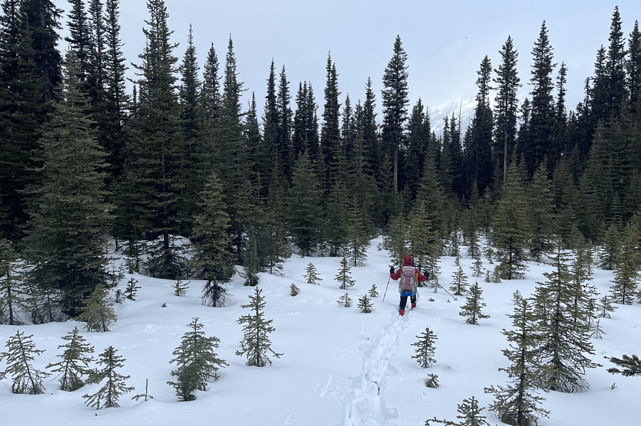
Zosia steps off Watridge Lake trail and immediately sinks in deep snow. Fortunately, she would stumble onto a broken snowshoe track only a few metres ahead. |
 |
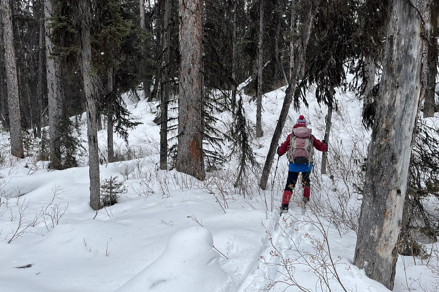
Zosia squeezes between a couple of trees with the bark stripped off. |
 |
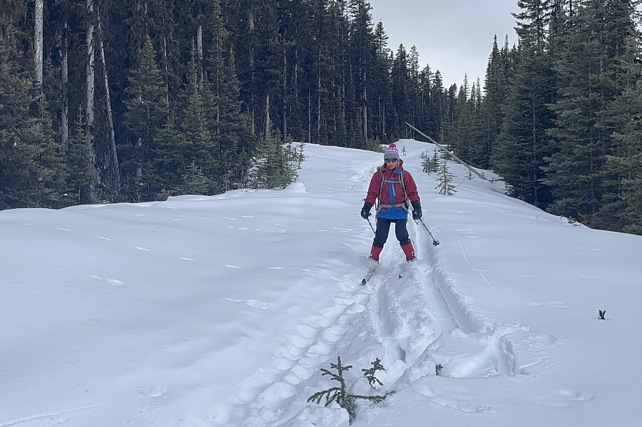
After abandoning the snowshoe track, Zosia faces some tough trail-breaking in deep snow. |
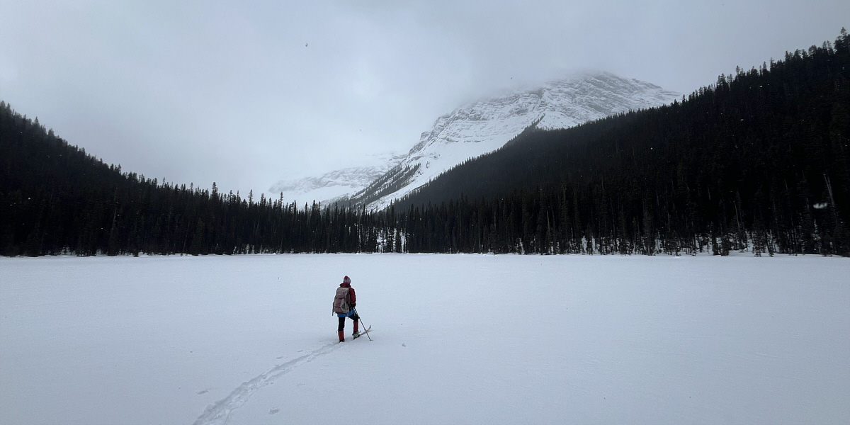
Zosia arrives at Shark Lake.
When Zosia and I resumed skiing, we followed the snowshoe tracks over an embankment and soon reached the terminus of a logging road which circles around the north end of Tent Ridge. Daffern describes this road as a longer but less complicated route to reach Shark Lake. It is also the same road that Zosia and I used to access Gawby Gulch about a month earlier, but skiing along this logging road was not as straightforward as I had hoped. Several sections were reclaimed enough to make route-finding troublesome even with a broken trail to follow, and occasional branching tracks only added to the confusion. After skiing about 2.4 kilometres from the lake, we reached a viewpoint in a small circular clearing as mentioned by Daffern. Coincidentally the high point of our loop, the viewpoint was a little underwhelming at first with trees obstructing views at the level of the road, but by climbing only a few short metres up to the edge of the forest to the south, we were treated to a surprisingly nice panorama of Spray Lakes Reservoir and the neighbouring mountains.
 |
Zosia gains a logging road on the back half of the ski loop. |
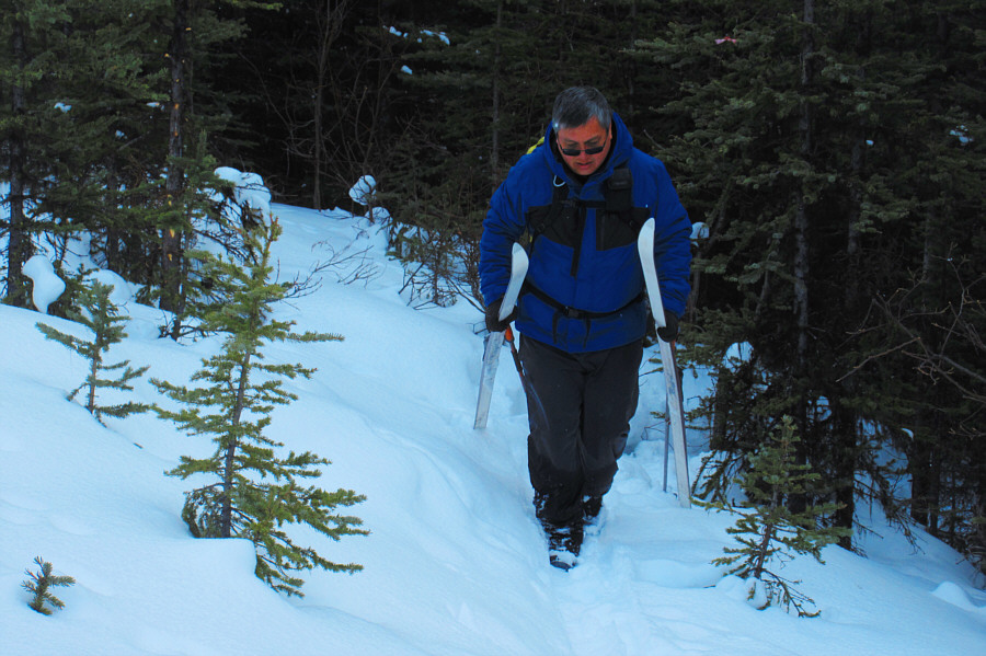 |
Sonny is not too proud to pick up his skis and walk up a troublesome section of the logging road. Photo courtesy of Zosia Zgolak |
 |
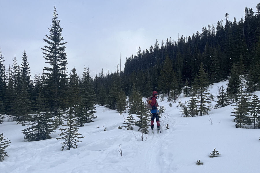
Zosia leaves the road and braves deep snow to reach a viewpoint at the edge of the forest. |
 |
Sonny removes his climbing skins at
the viewpoint. Photo courtesy of Zosia Zgolak |
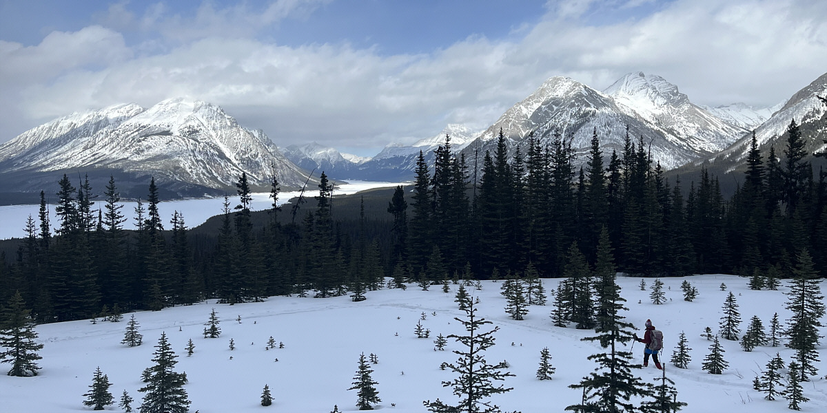
The viewpoint grants a panoramic view of Spray Lakes Reservoir and several familiar mountains.
Returning to the road, Zosia and I continued for about another 600 metres to where we were expecting to find a junction with a cut block access corridor nicknamed "Slash" by Daffern. It took a bit of back and forth, but I eventually found the corridor hidden behind a wall of trees. Despite the turnoff being totally reclaimed, Slash was still discernible enough to follow, but like our final approach to the lake, plowing through the deep snow here turned out to be a miserable grind. Once again, Zosia broke trail for most of the one-kilometre descent of the corridor which took 50 minutes but felt much longer. Our joy was palpable when we finally stumbled onto a track-set trail which connects Mount Shark helipad to the trailhead parking lot. In retrospect, it would have been far simpler to skip Slash altogether and take the long way (about an extra 1.5 kilometres) around to the helipad via the logging road and Mount Shark Road. Unlike the soul-sucking slog through Slash, the descent of the remaining one kilometre of the helipad connector to the trailhead parking lot was a hoot and took a mere 8 minutes. The exhilarating finish almost made up for the long stretches of drudgery throughout the rest of the loop...almost.
 |
Mount Engadine is visible in the distance as Zosia resumes skiing along the logging road after leaving the viewpoint. |
 |
Zosia picks up some speed on a downhill section of the road. |
 |
After leaving the logging road, Zosia breaks trail through deep snow along a cut block access corridor. |
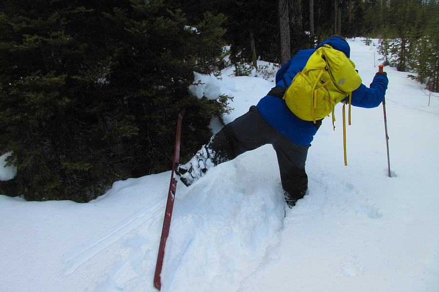 |
Sonny has to perform some acrobatic
moves to free his stuck ski from the deep snow. Photo courtesy of Zosia Zgolak |
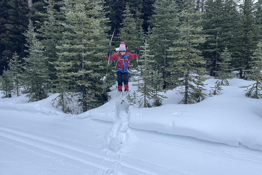 |
Zosia jumps for joy after emerging from the cut block access corridor and intersecting a track-set trail (connector between Mount Shark helipad and the trailhead). |
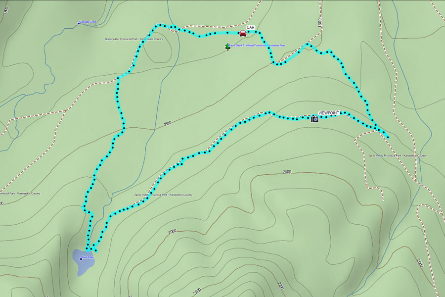 |
Total Distance: 9.0 kilometres Round-Trip Time: 5 hours 50 minutes Cumulative Elevation Gain: 199 metres |