Photo courtesy of Zosia Zgolak
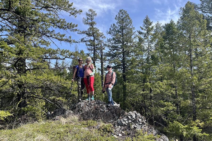
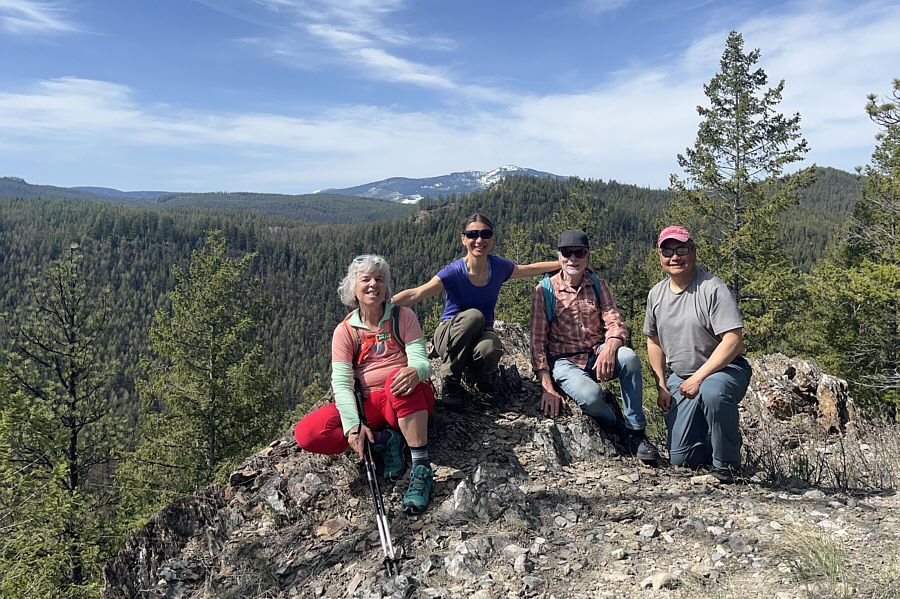
Zosia, Angie and Ken stand on the highest of the Skyline Bumps (HP5; 1221 metres).
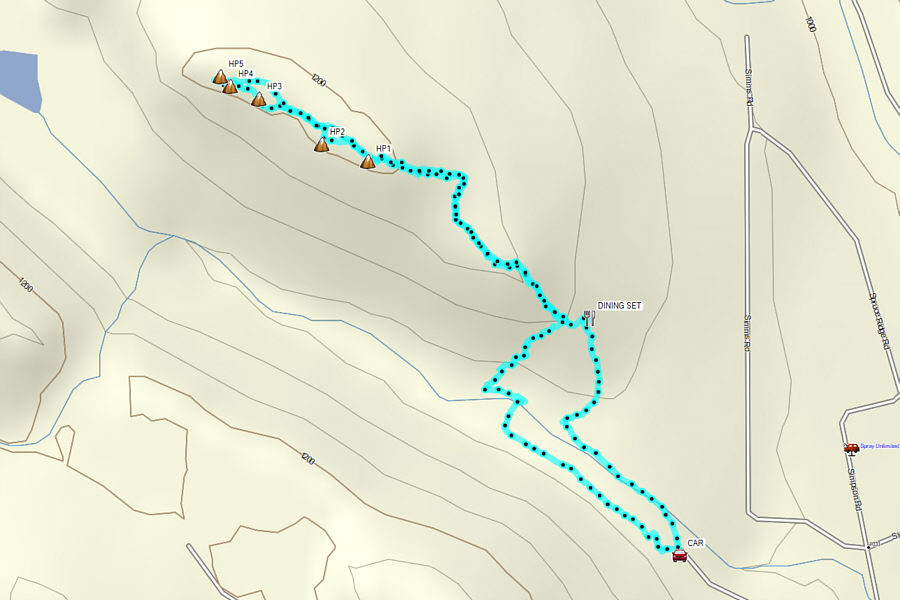
Round-Trip Time: 2 hours 35 minutes
Cumulative Elevation Gain: 151 metres
|
|
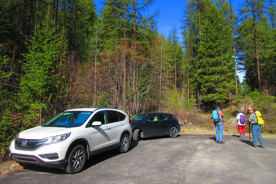
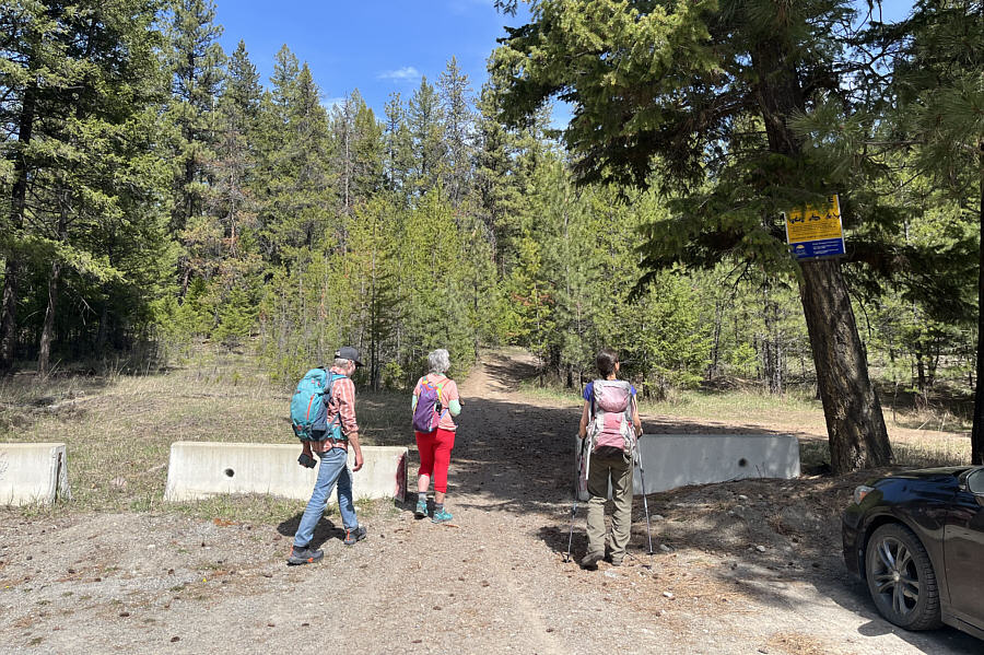
The trail to Skyline Bumps starts at
this cul-de-sac at the end of Skyline Road. Photo courtesy of Zosia Zgolak |
|
|
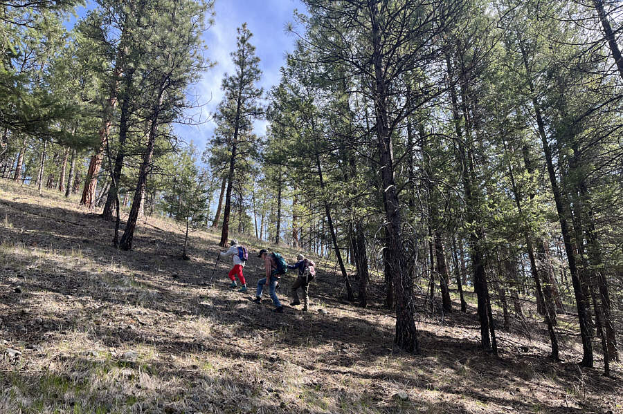
Angie, Ken and Zosia climb up a steep slope at the southeast end of the ridge leading to Skyline Bumps. |
|
|
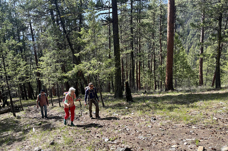
The group finds a well-worn trail on the ridge crest. |
|
|
Zosia, Angie and Ken stand on the highest of the Skyline Bumps (HP5; 1221 metres). |
|
|
Angie, Zosia, Ken and Sonny take a break on the most scenic of the Skyline Bumps (HP1; 1219 metres). |
|
|
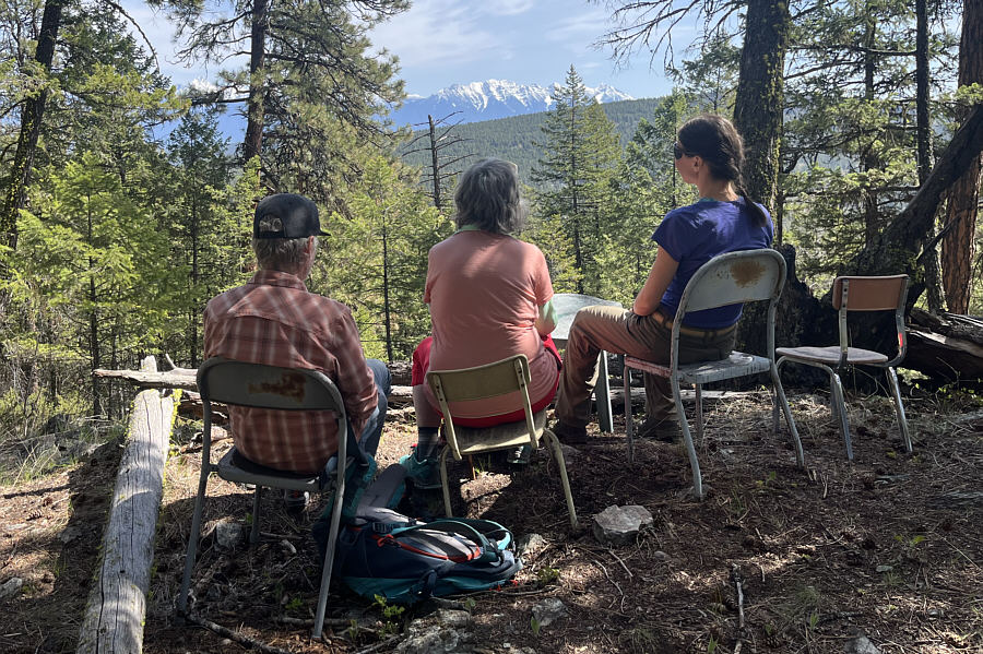
On their way down, Ken, Angie and Zosia discover a viewpoint replete with four chairs and a table. |
|
|
Total Distance: 4.0 kilometres Round-Trip Time: 2 hours 35 minutes Cumulative Elevation Gain: 151 metres |
 |
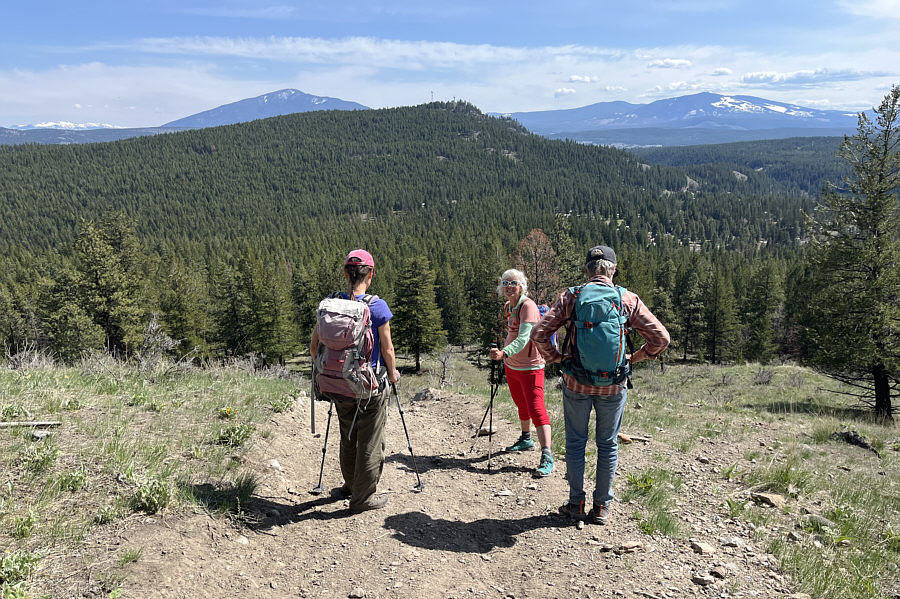
Ken, Angie and Zosia begin their second hike of the day at the trailhead for Whiskey Jack Hill. |
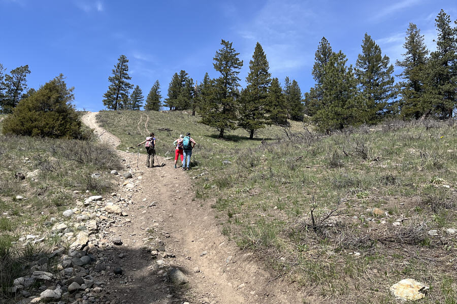 |
The trail going up Whiskey Jack Hill is straightforward to follow but very steep in places. |
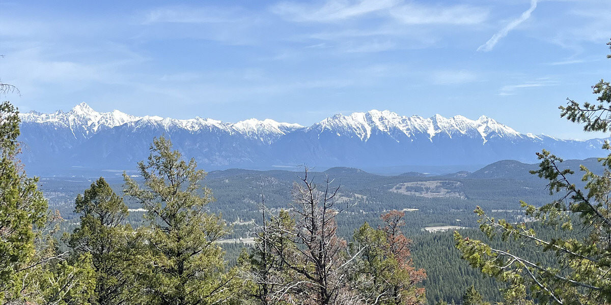
Mount Fisher and The Steeples look brilliant to the east.
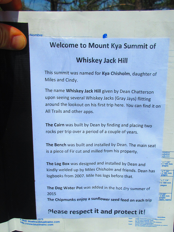 |
This note in the summit register
leaves little doubt about the identity of Whiskey Jack Hill's
custodian. Photo courtesy of Zosia Zgolak |
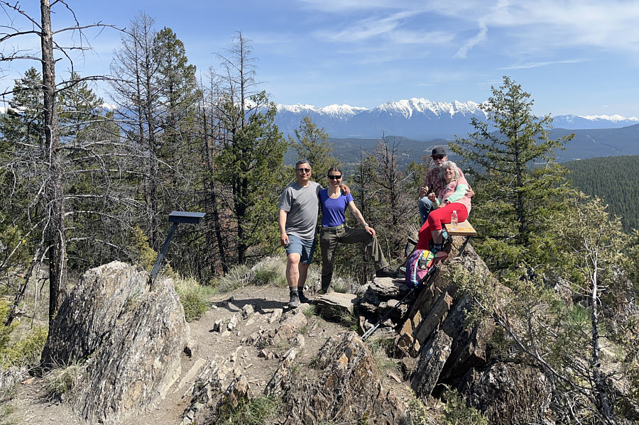 |
Sonny, Zosia, Ken and Angie relax on the high point of Whiskey Jack Hill (1198 metres). |
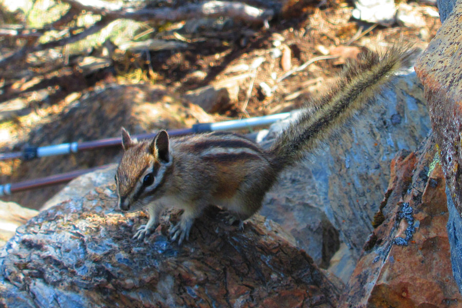 |
This is one of several chipmunks that
regularly patrol the high point of Whiskey Jack Hill. Photo courtesy of Zosia Zgolak |
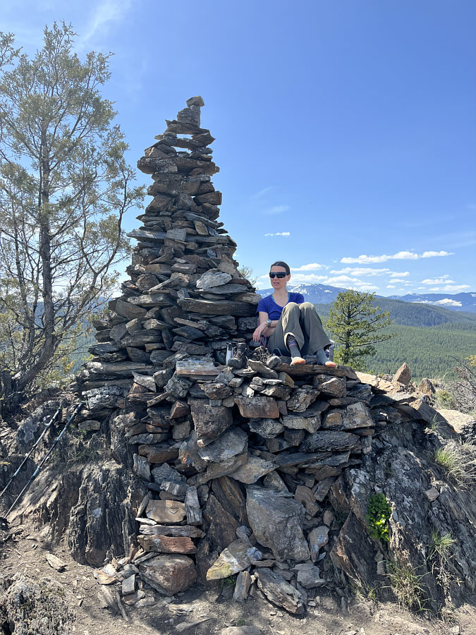 |
Zosia finds some shade from the sun under a massive cairn on the high point. |
 |
The forested bump immediately to the southeast is Beacon Hill. Also visible on the distant horizon are Mount Baker (left) and Cranbrook Mountain (right). |
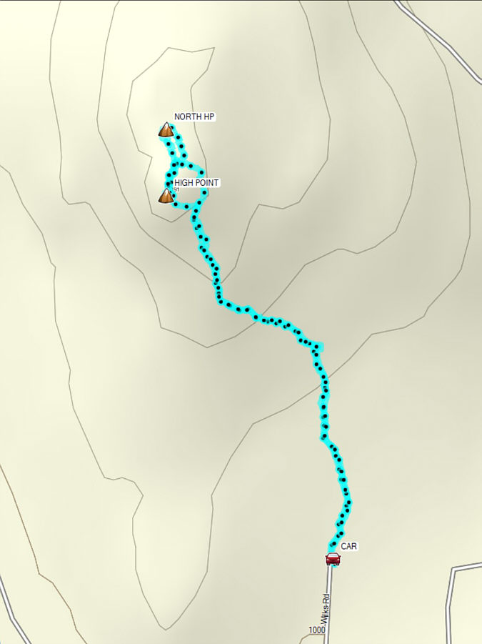 |
Total Distance: 2.7 kilometres Round-Trip Time: 2 hours 10 minutes Cumulative Elevation Gain: 170 metres |