BOU AVENUE
Willoughby Ridge South
On 28 September 2025, Teresa Kosmala, Zosia Zgolak and I hiked up to the high point of the southern portion of Willoughby Ridge in Alberta's Castle Provincial Park.  I have taken the liberty to name this high point "Willoughby Ridge South" to distinguish it from Willoughby Ridge's true high point--sometimes referred to as "Willoughby Peak"--which is topped by Ironstone Lookout further to the north.  Access to Willoughby Ridge South is very simple with a straightforward drive along Sartoris Road and a relatively short approach via the Great Divide Trail (GDT).  Only the final section before the top involves a little bit of challenging off-trail travel.

From the main drag (20 Avenue) in Blairmore, turn south onto 133 Street and go across railroad tracks.  Drive south and turn right at 16 Avenue.  Go straight at the intersection with 132 Street after which 16 Avenue bends left and becomes Sartoris Road (2WD gravel).  Drive 13.0 kilometres and park on the side of the road (49.51856, -114.50558) just before it bends right and descends to cross a bridge over Lynx Creek.

From our parking spot, Teresa, Zosia and I crossed to the east side of the road, and after climbing up a short embankment, we gained the GDT at a potentially confusing three-way junction.  Taking the road heading eastward, we began a gentle but steady ascent up an unremarkable drainage on the west side of Willoughby Ridge.  Roughly 3.5 kilometres up the road, we passed a junction with another road joining in from the left (north).  Keeping right, we stayed on the GDT and soon were walking along the gloriously scenic crest of Willoughby Ridge.  Even the presence of some dirt bikers, noisy as they were, could not diminish the surrounding grandeur.  From where we gained the ridge crest, we continued southward along the GDT for another two kilometres before abandoning it to scramble up the final hump.  Teresa is not used to off-trail hiking and eventually exceeded her comfort zone just metres short of the top.  She stayed put while Zosia and I carefully navigated the remaining surprisingly airy stretch to tag the high point.  Zosia and I then rejoined Teresa for a well-deserved break.

For our descent, Teresa, Zosia and I took a slightly different line down from the high point to avoid some problematic deadfall, but once we regained the GDT, we simply backed out the way we came without incident.
It caught my eye as we were skiing here last winter. 
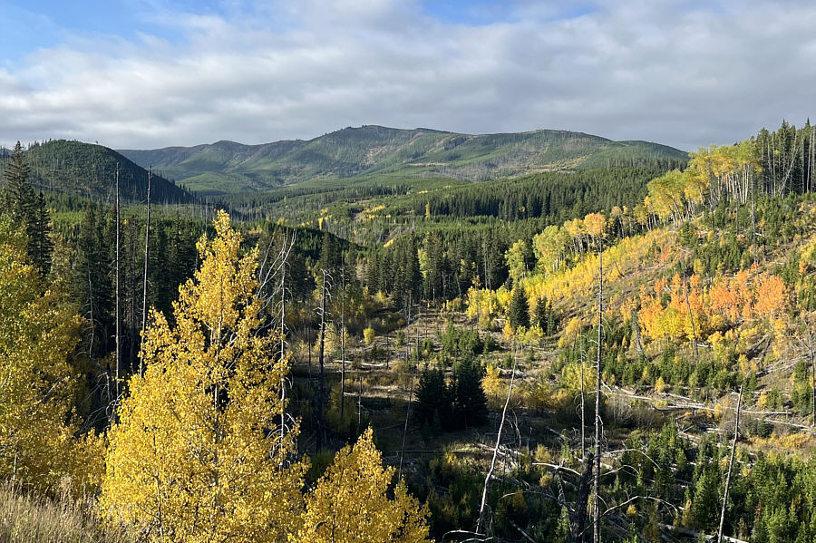
Willoughby Ridge South is visible from Sartoris Road, but the high point is out of view to far left.
Route-finding can be confusing here with numerous ATV tracks going every which way! 
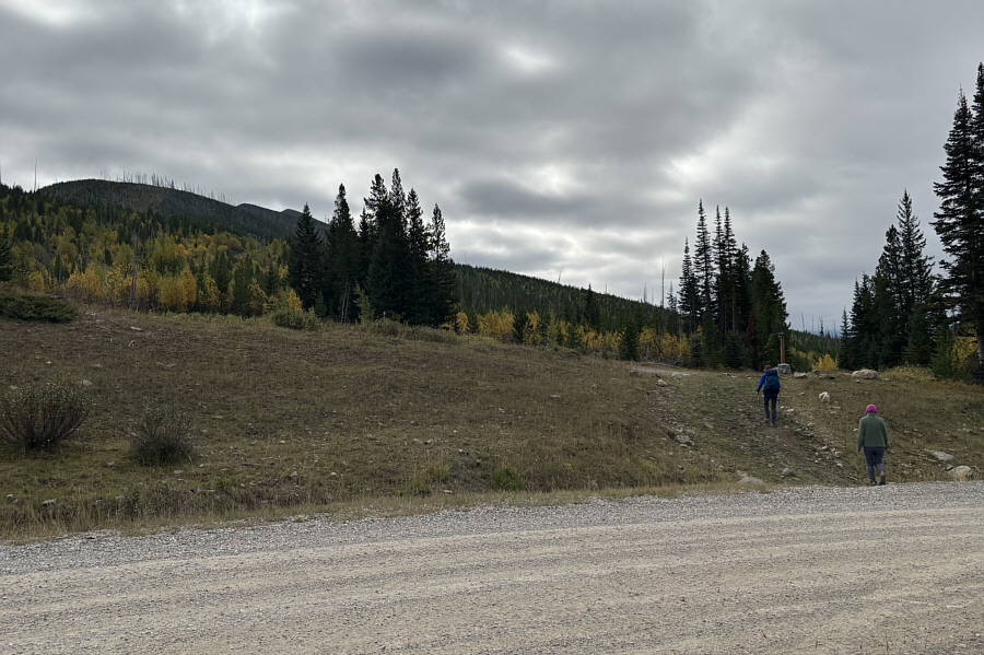
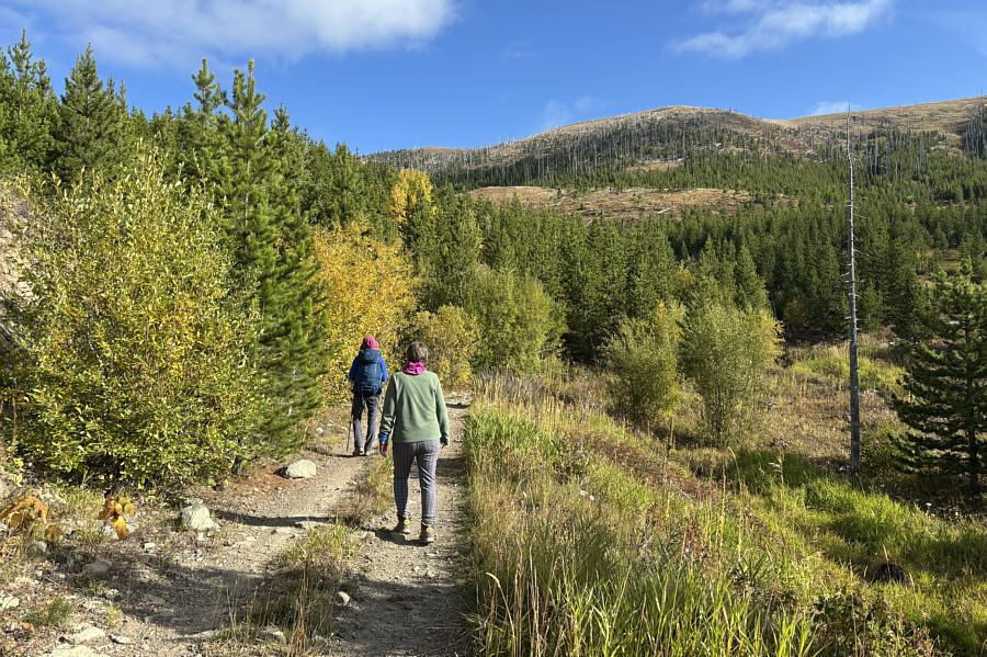
Zosia and Teresa climb up a roadside embankment to join the Great Divide Trail (GDT).
Who needs larches? 
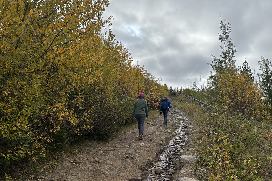
Fall colours are already prevalent along this section of the GDT.
I wouldn't trust some of the planks on this bridge! 
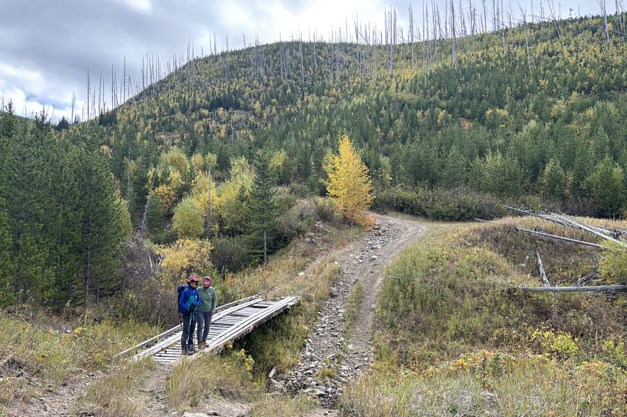
Zosia and Teresa cross a drainage on a rickety bridge.
Short cutting straight up the ridge from here is probably a bad idea... 
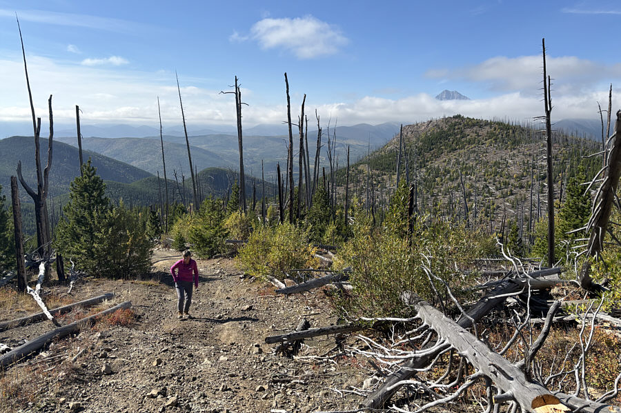
The crest of Willoughby Ridge South finally comes into view.
Teresa is still going strong! The cloud cover begins to dissipate revealing the top of Mount Darrah on the right horizon.
This is what we came here for! 
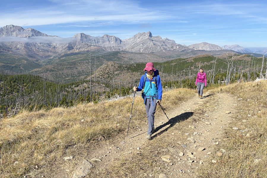
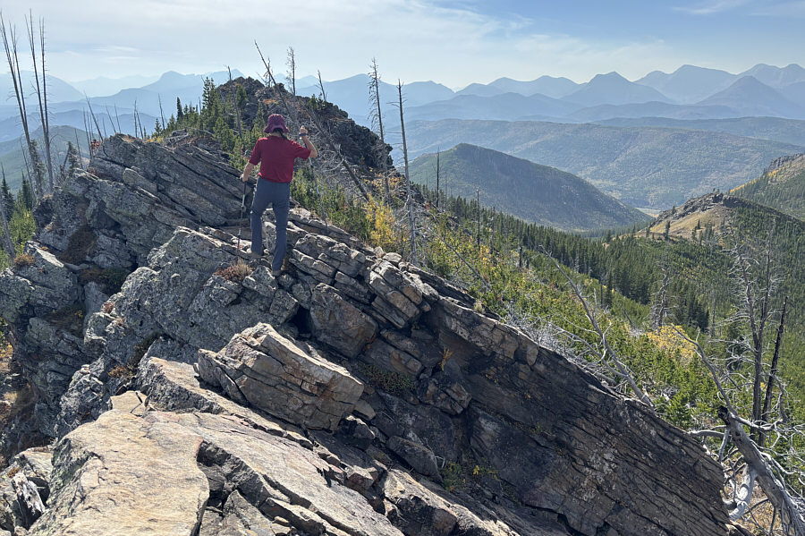
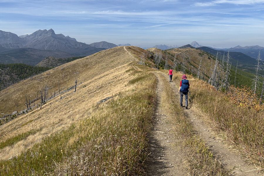
This section of the GDT follows the gloriously scenic crest of Willoughby Ridge South.
The ridge in the foreground looks intriguing except for all the toothpick deadfall! 
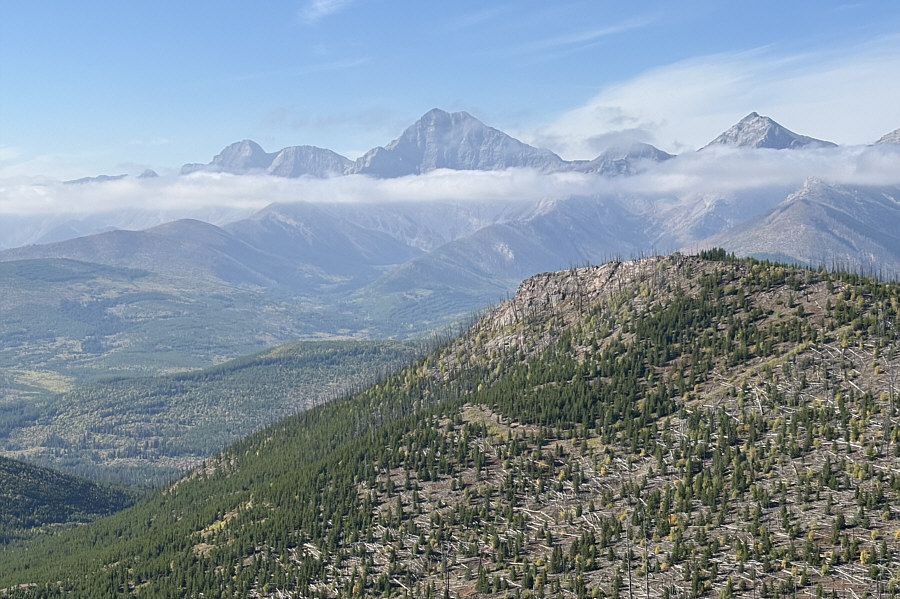
Here is a closer look at Mount Darrah and its numerous outliers.
A bit annoying but not bad. 
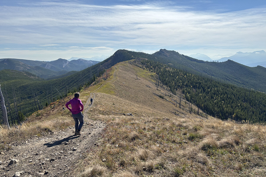
The ridge undulates a few times before culminating in the high point (right of centre).
Even the dirt bikers found this part of the GDT to be tough! 
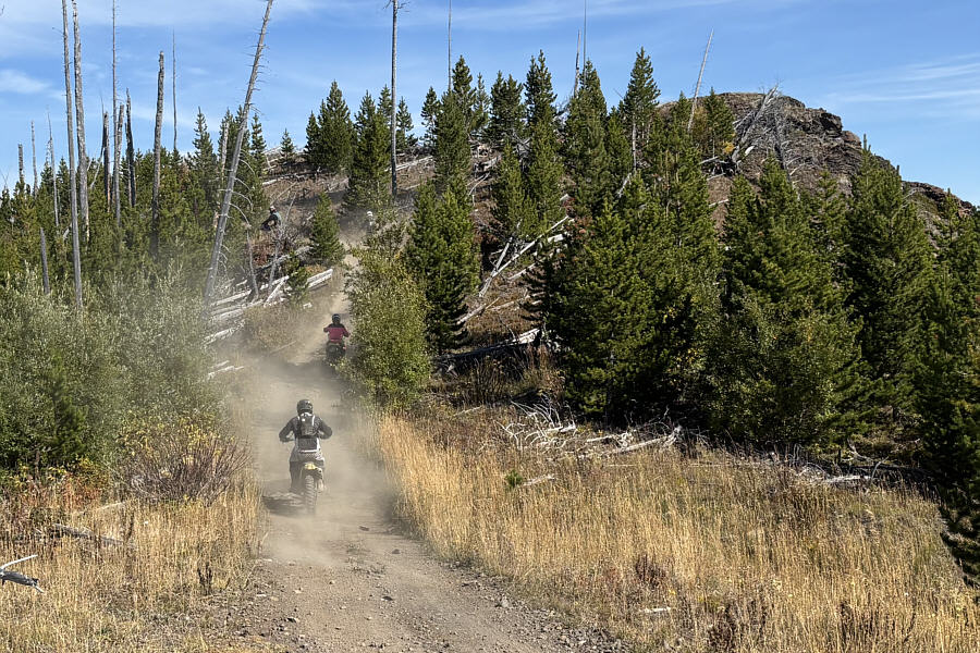
A big group of dirt bikers kick up some dust while riding on the GDT.
I wonder which bump at the top is higher... 
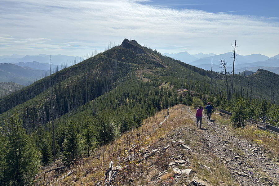
Teresa and Zosia descend into the last dip before the high point of Willoughby Ridge South.
Kind of surprising that they did NOT build the ATV track to go right over the high point. Teresa and Zosia abandon the GDT to climb up to the high point.
Nothing a chain saw couldn't fix! 
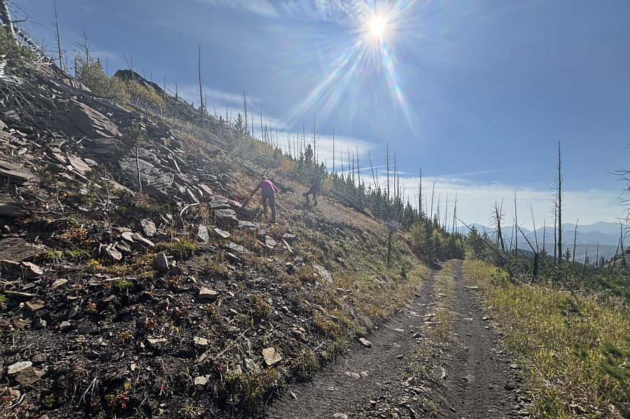
Ascending the high point is somewhat complicated by deadfall from an old burn.
The ridge crest here is more complicated than it looks! 
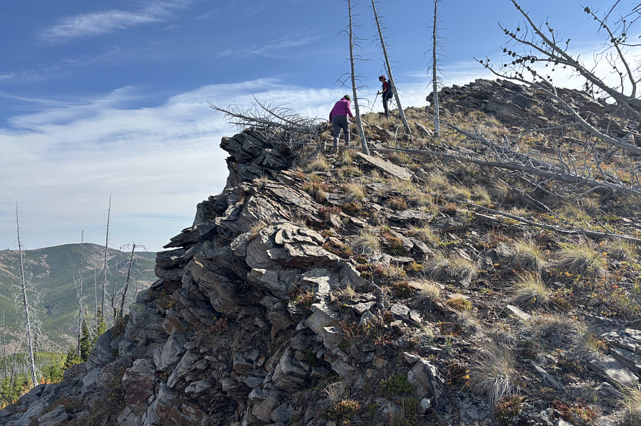
Zosia scrambles along the final stretch before the high point.
Zosia built the cairn...first ascent? 
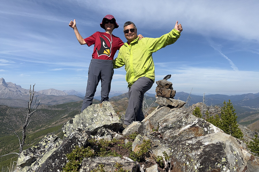
Zosia and Sonny stand on the high point of Willoughby Ridge South (2020 metres).
Brings back fond memories of some good trips! 
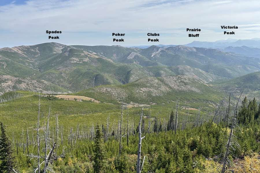
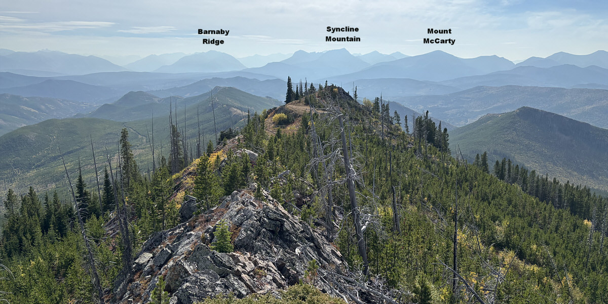
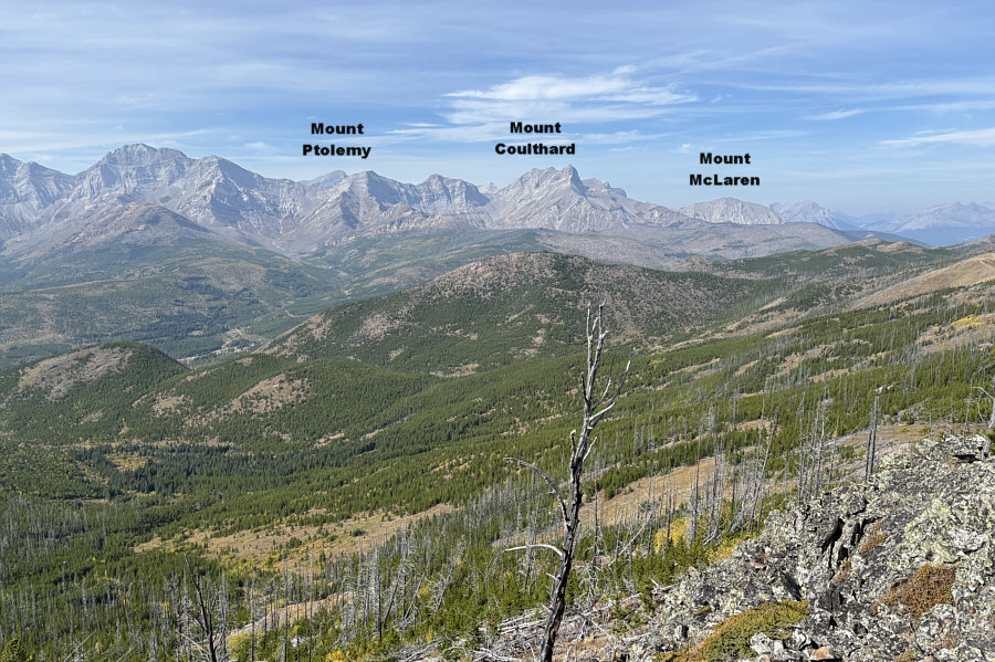
Familiar peaks are visible to the southeast.

Might be nice someday to return and do a full traverse...with a car shuttle!

The rest of the ridge (left of centre) can be seen stretching away to the south.


It's rare to see Mount Ptolemy since it's usually hidden behind other mountains or ridges. This is looking northwest from the high point of Willoughby Ridge South.
This might be the most rugged off-trail hike that Teresa has done! 
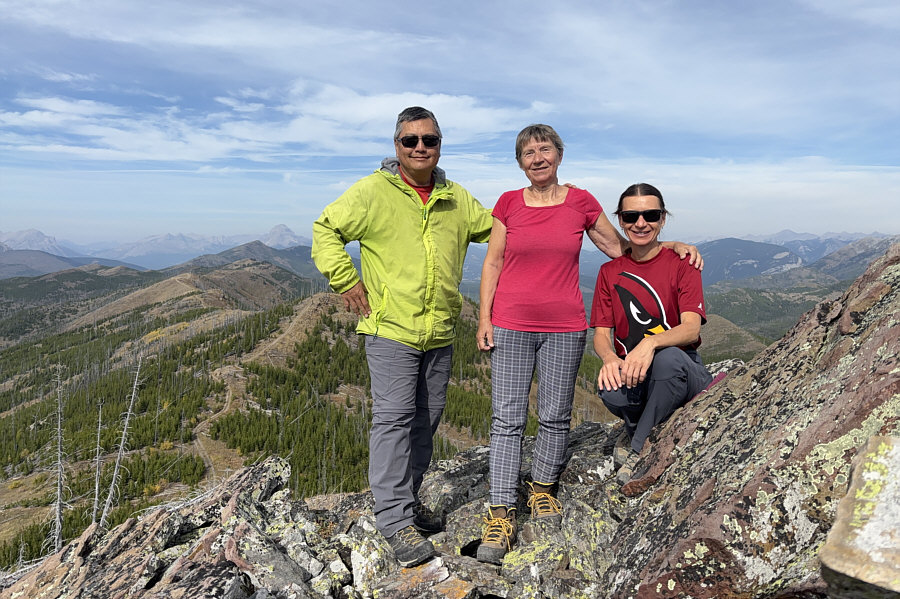
Sonny, Teresa and Zosia pose together not far from the high point.  The prominent peak on the horizon beside Sonny's elbow is Crowsnest Mountain.
It's best to stay out of the trees here! 
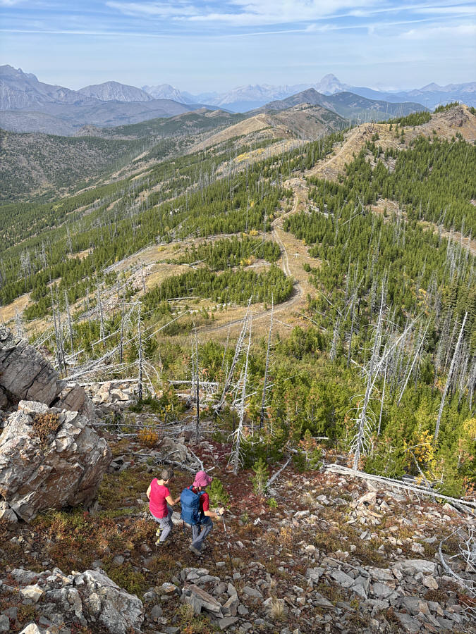
Teresa and Zosia make their way back down to the GDT.
Just as nice the second time around! Teresa and Zosia retrace their steps along the ridge crest.
I can read your mind...looking at you... 
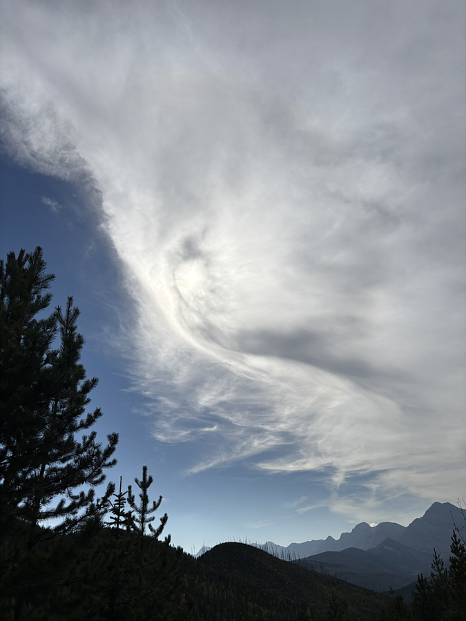
A rather weird cloud formation obscures the Sun creating what looks like an "Eye in the Sky".
We didn't get these views on the way up because of cloud cover. 
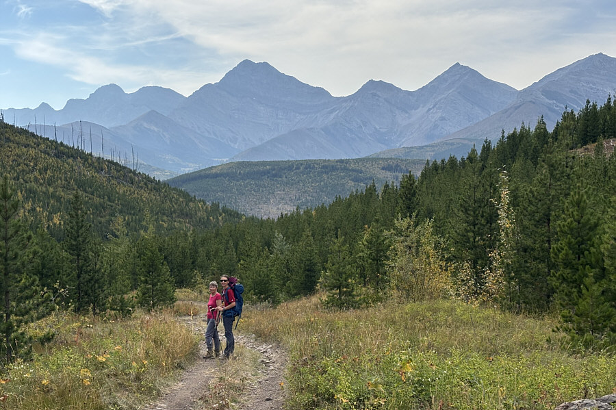
Teresa and Zosia pause briefly on their way out the drainage.
A worthwhile outing if you're willing to put up with a few noisy OHVs. 
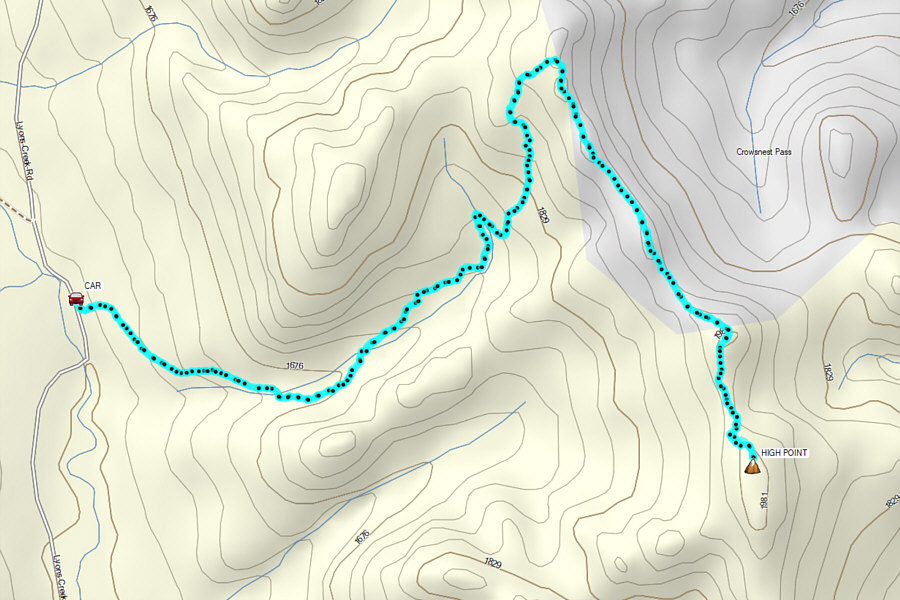
Total Distance:  11.1 kilometres
Round-Trip Time:  5 hours 14 minutes
Cumulative Elevation Gain:  485 metres

GPX Data