Photo courtesy of Zosia Zgolak
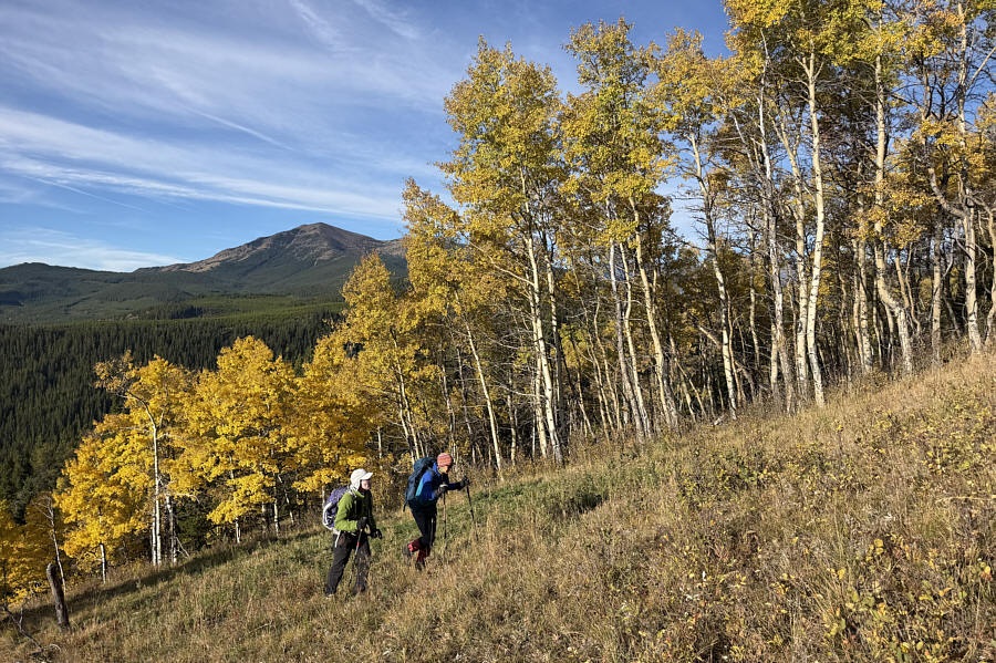
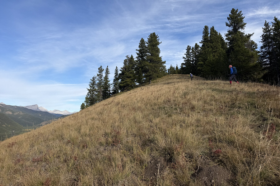
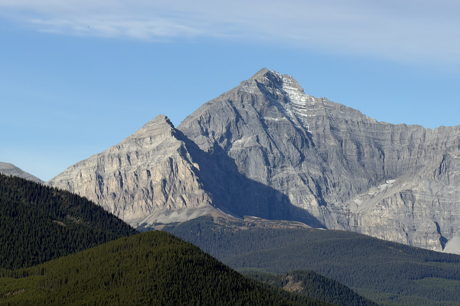
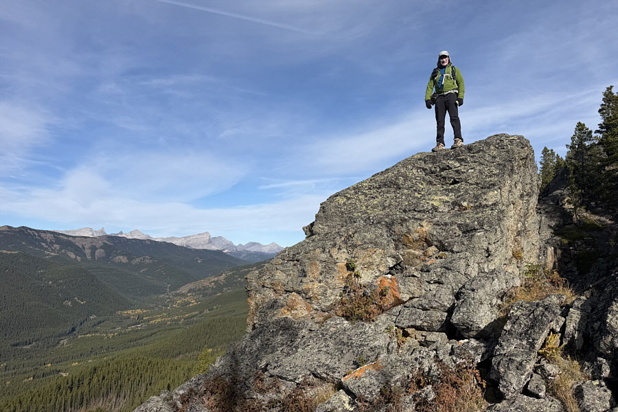
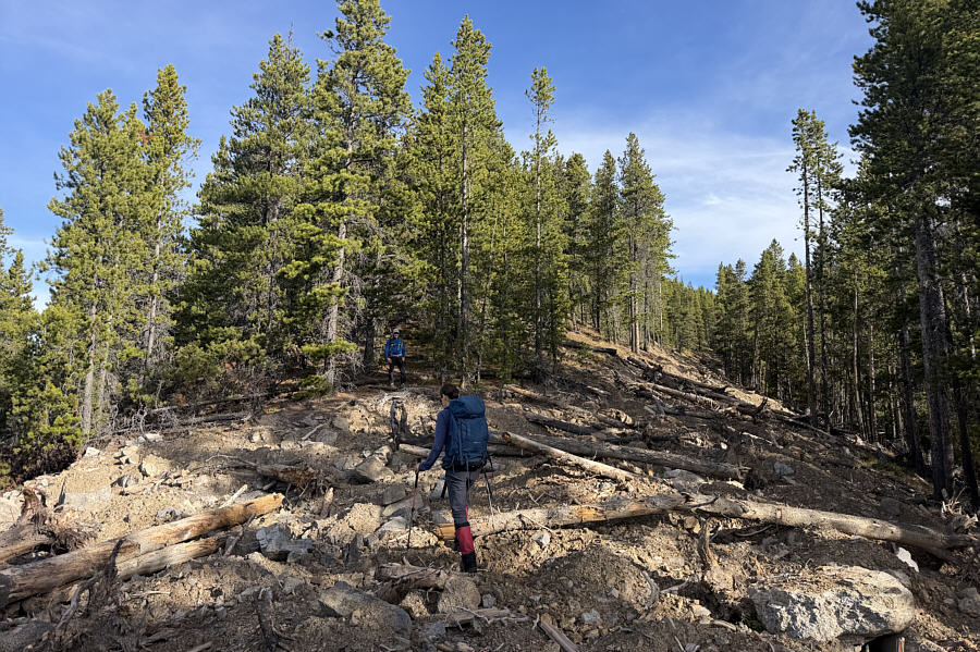
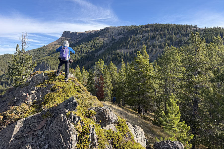
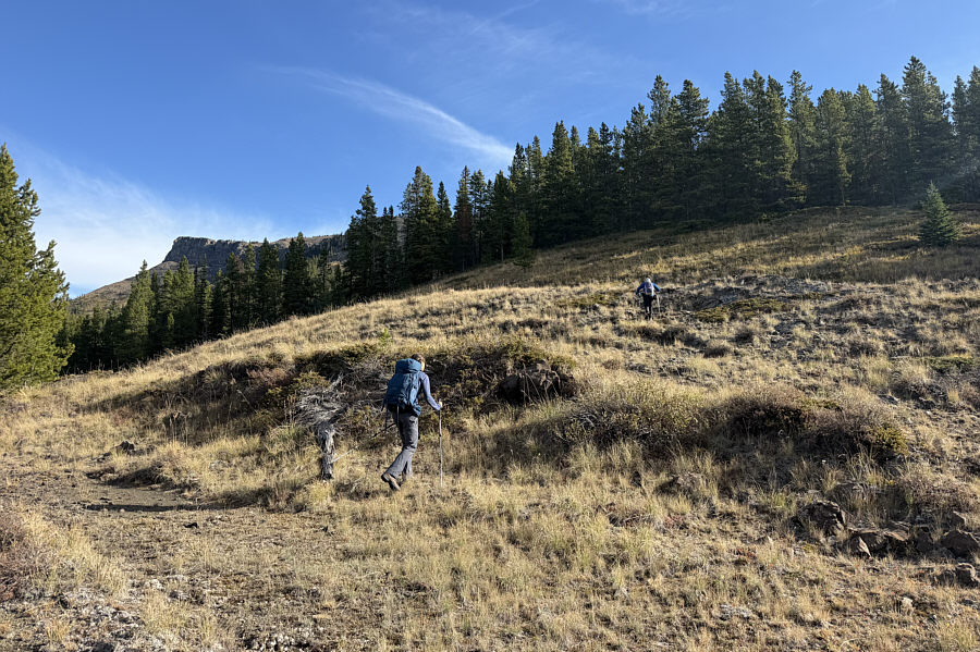
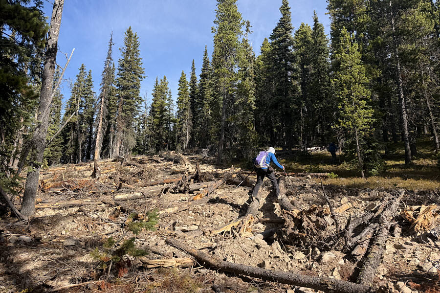
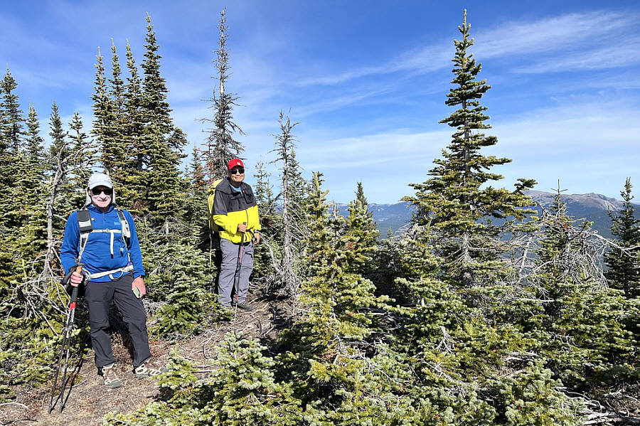
Photo courtesy of Zosia Zgolak
|
|
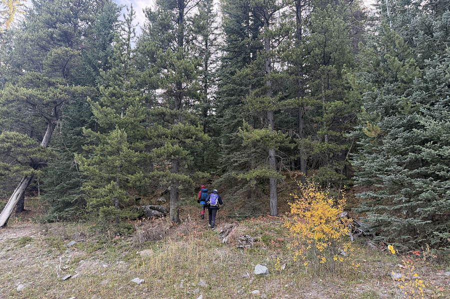
Starting from the parking spot along Oldman River Road, Zosia and Bob simply head into the forest. |
|
|
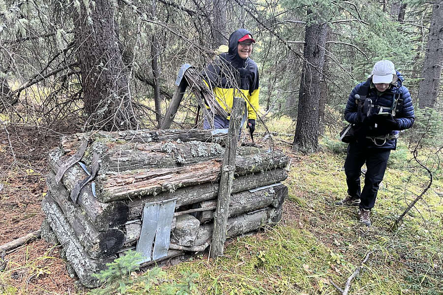
Not far in the bush, Sonny and Bob come across a curious old artifact
which is likely some sort of animal trap. Photo courtesy of Zosia Zgolak |
|
|
Bob and Zosia climb past a stand of aspen trees with Sugarloaf Lookout visible in the distance at left. |
|
|
Bob and Zosia pick up a good trail along this open section of the ascent ridge. |
|
|
The open section of ridge grants this view of Tornado Mountain to the west. |
|
|
Bob scrambles onto one of several rocky outcrops along the ridge. |
|
|
Bob and Zosia cross a deactivated logging road partway up the ridge. |
|
|
The ascent ridge ends at this rocky knob with the first clear view of "Manystick Peak". |
|
|
Zosia and Bob cross a dip between the ascent ridge and the main mass of Manystick Peak. |
|
|
The final approach to the top entails several crossings of a deactivated road. |
|
|
As marked on topo maps, this is
supposed to be the summit of Manystick Peak (MS1; 2324 metres), but
it is not. Photo courtesy of Zosia Zgolak |
|
|
Zosia and Bob head toward an open promontory further north. |
|
|
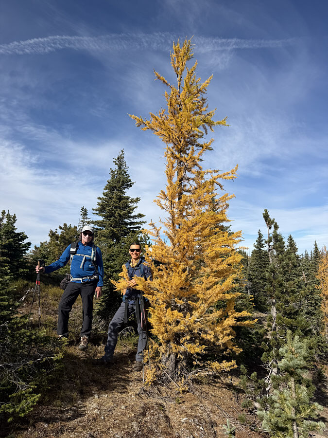
Bob and Zosia find a golden larch on their way to the promontory. |
|
|
This is looking back at MS1 from the promontory. |
|
|
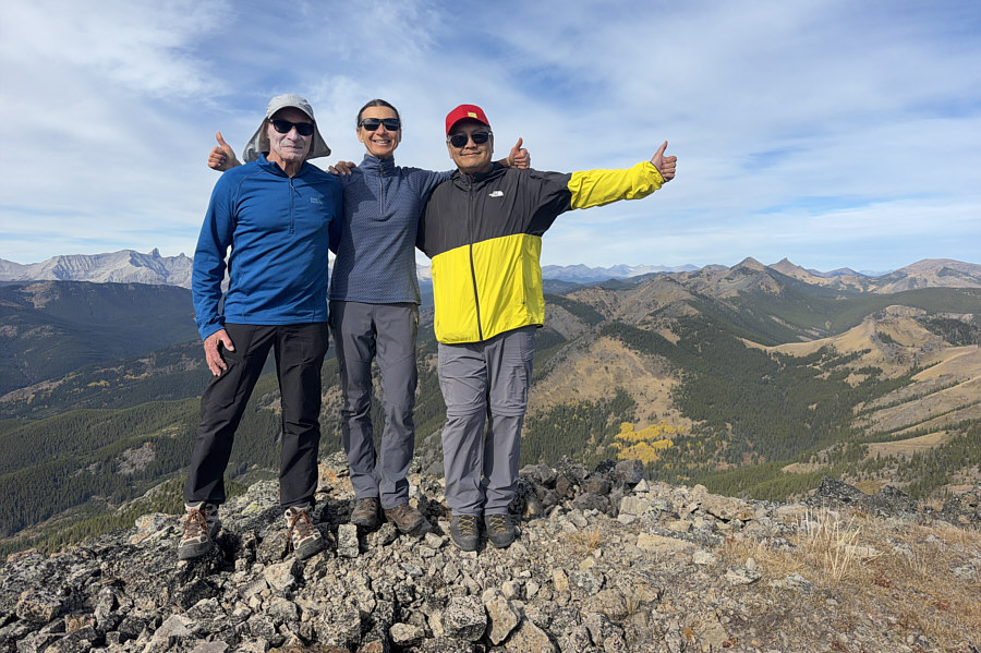
Bob, Zosia and Sonny stand atop the promontory which turns out to be the true summit (2326 metres) of Manystick Peak. |
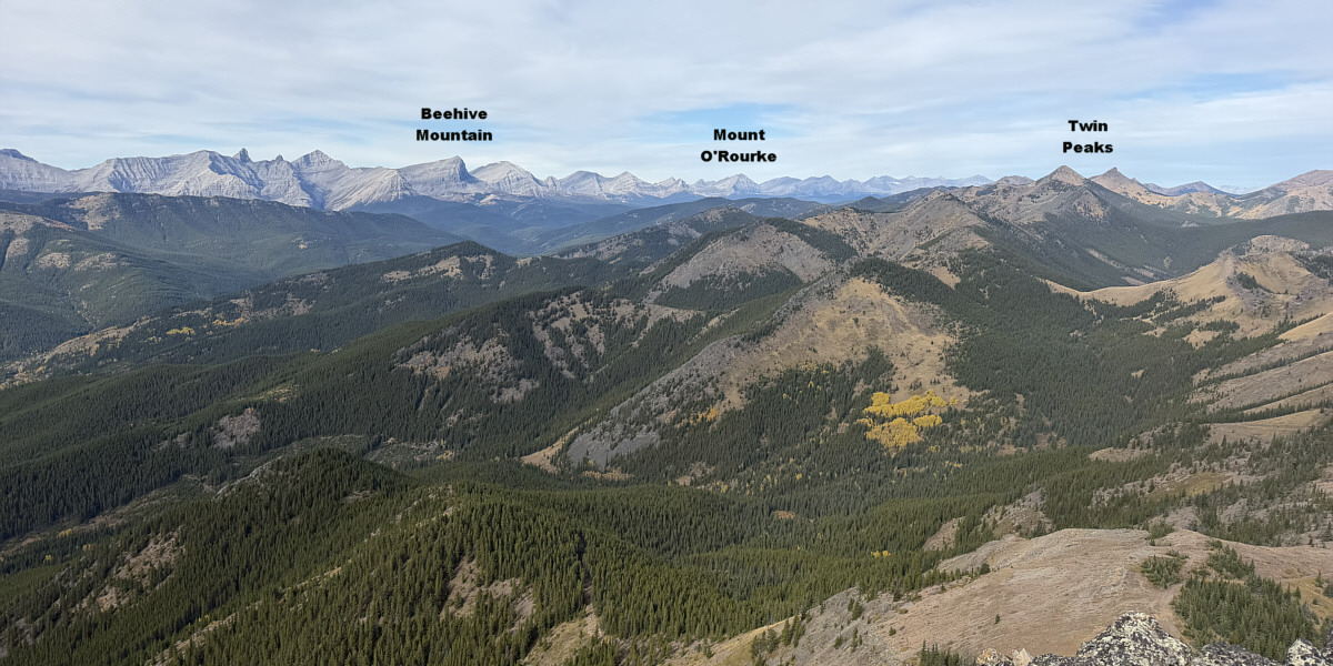
Here is the view to the northwest from the true summit.
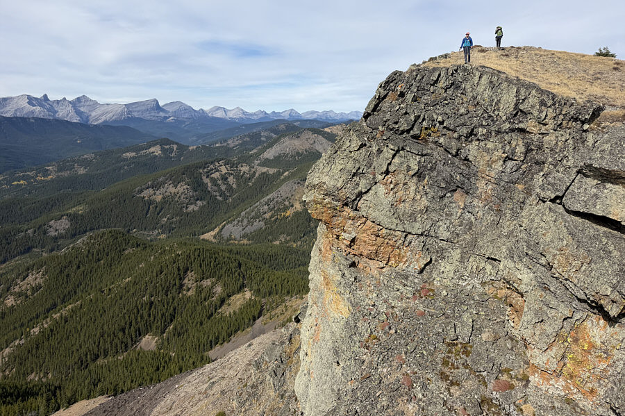 |
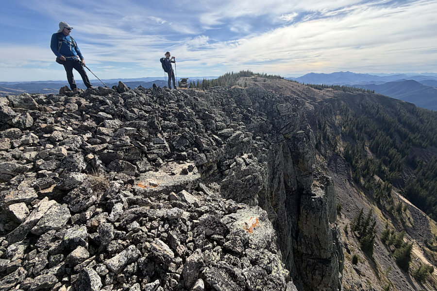
Here is another perspective of the cliffs guarding the west side of Manystick Peak. |
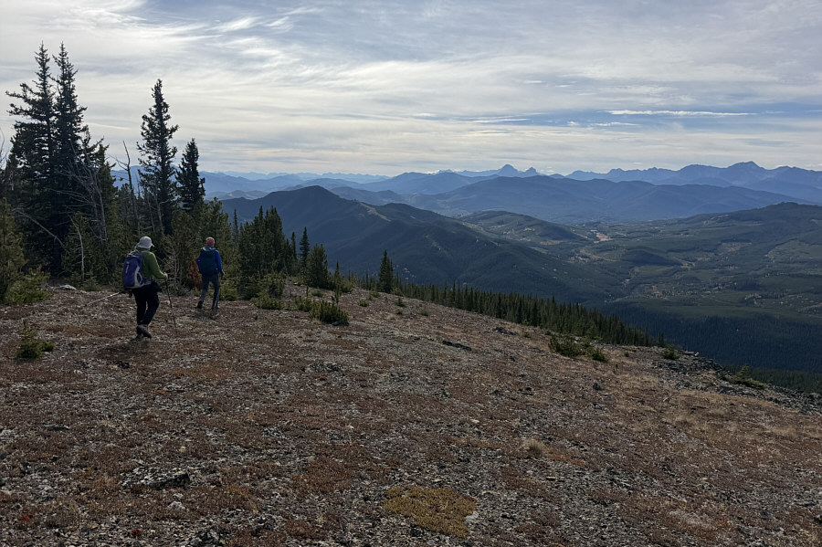 |
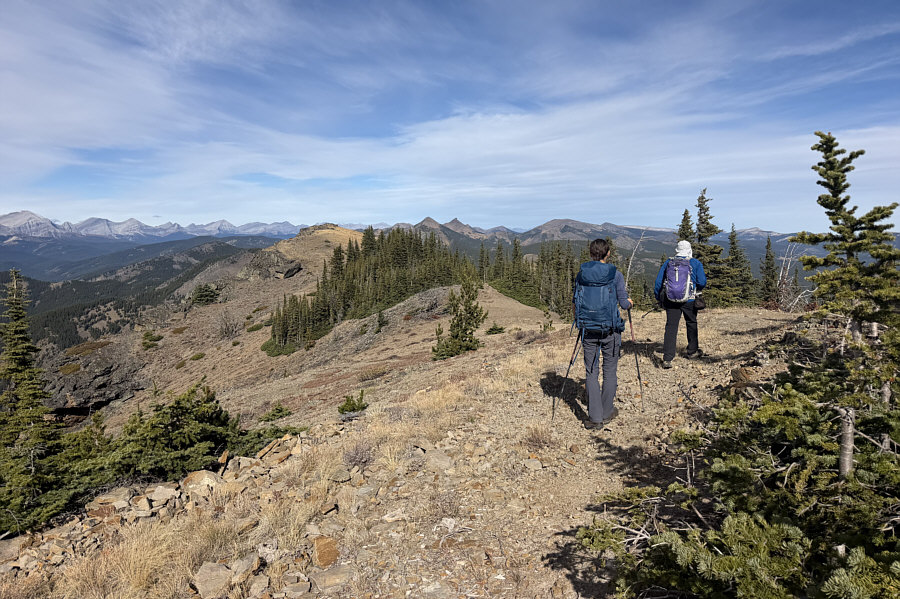
Bob and Zosia make their way back along the summit ridge. |
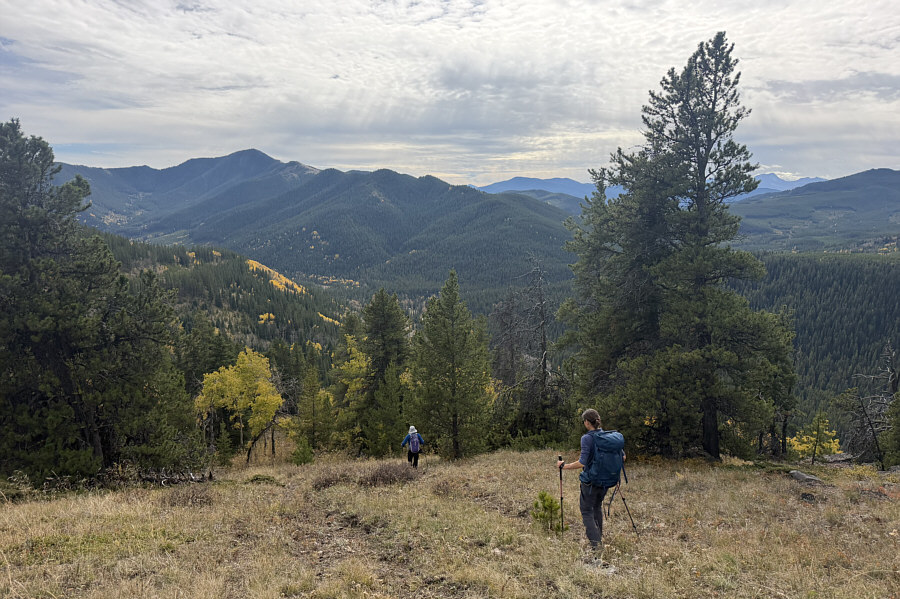 |
"Old Dutch Man Peak" is visible to the south (left) as Bob and Zosia descend the good trail they stumbled upon earlier in the day. |
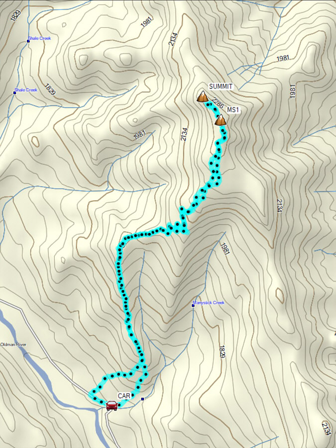 |
Total Distance: 9.1 kilometres Round-Trip Time: 5 hours 32 minutes Cumulative Elevation Gain: 715 metres |