BOU AVENUE
Vicary Creek Ridge
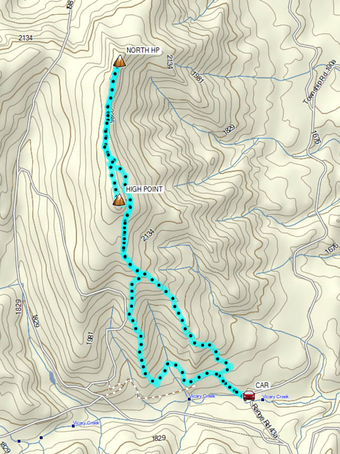
With a less-than-stellar weather forecast in the mountains on 30 August 2026, Zosia Zgolak and I headed to the southern part of Alberta's Livingstone Public Land Use Zone to hike "Vicary Creek Ridge" as coined by Dave McMurray after his ascent in 2016.  Alison Sekera subsequently made an ascent in 2020 using an alternate approach route, but I was not aware of this until after our present trip.  I was able to get a GPS track from AllTrails which more or less follows McMurray's southeastern approach, and this would be the route we would attempt for our ascent.  McMurray's route starts along a deactivated road which branches off from the Forestry Trunk Road (Highway 40; 2WD gravel) just north of Vicary Creek (17.8 kilometres north of the intersection with Highway 3 in Coleman or 16.2 kilometres south of the intersection with Maycroft Road).

From where we parked (49.75424, -114.49110), Zosia and I headed west along the deactivated road and quickly had to make a detour into a makeshift campsite on the left to get around a mess of deadfall.  We then crossed a small meadow to the continuation of the road where we climbed past some more deadfall before reaching a split.  Following the AllTrails track, we took the right-hand road which makes a single switchback before petering out.  From this point, we basically bushwhacked up the forested slope while veering to climber's left whenever we could.  Some of the forest was quite dense in spots, but overall, the bushwhacking was not bad.  We eventually broke out of the forest onto a partially open ridge which granted some far-reaching views to the south.  A few more bushy sections further up the ridge still required a bit of route-finding to get through, but we made better progress here than lower down.  Not far from the top, we stumbled onto a good trail which we followed to a rocky slope on the east side of the ridge crest.  At this point, we simply scrambled straight up to Vicary Creek Ridge's true high point which is marked with a small cairn.
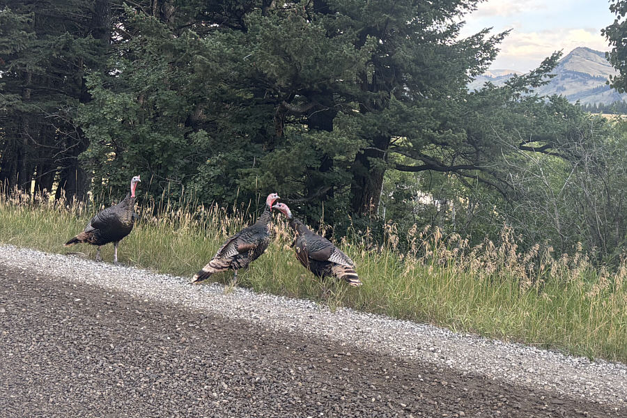
Gobble, gobble... Some wild turkeys loiter on the side of Maycroft Road during the drive to the trailhead.
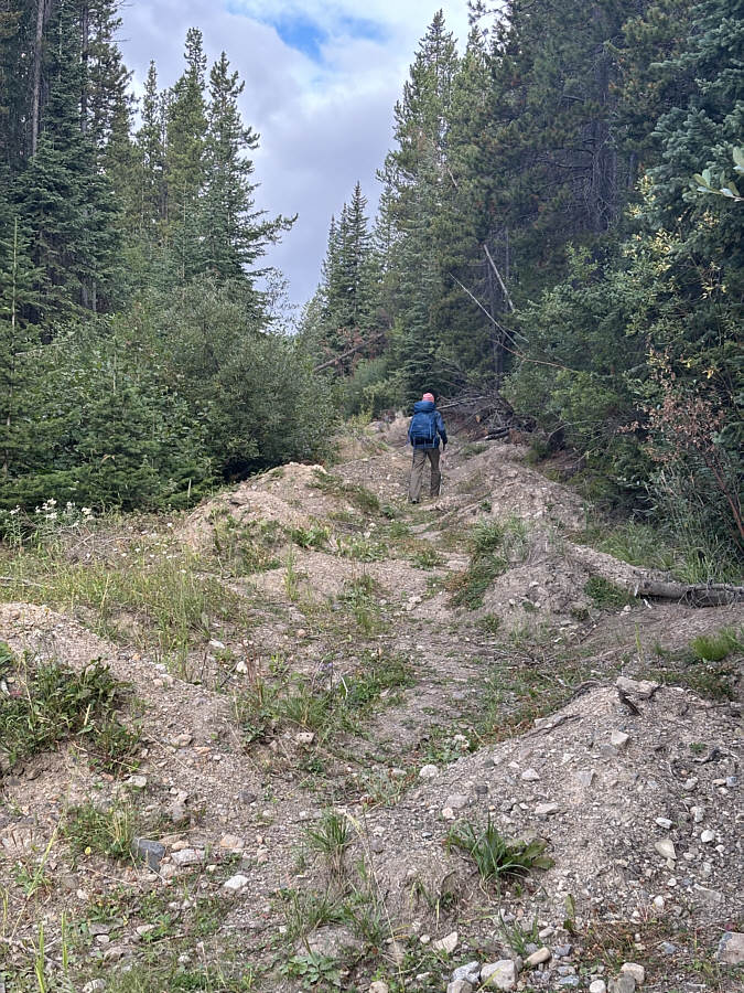
Glad I didn't have to decide whether or not to drive up this road! Zosia begins hiking along a deactivated road.
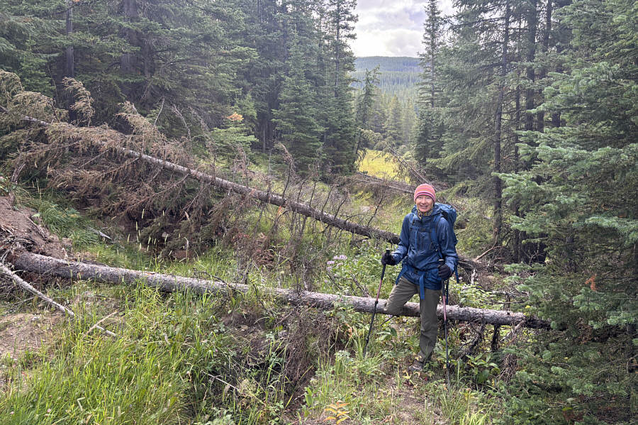
A bit annoying but not bad. Zosia has to hop over a few downed trees further along the road.
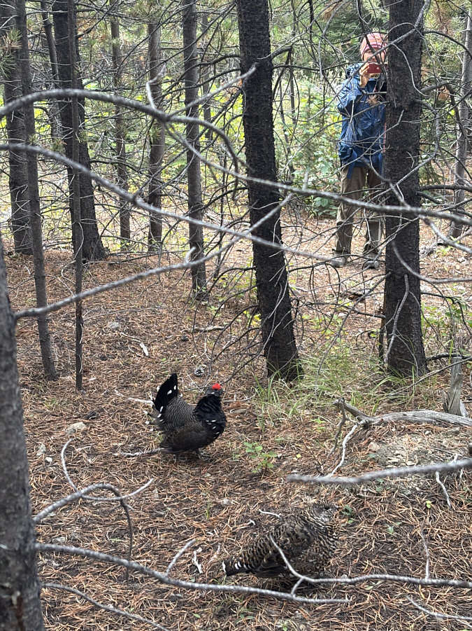
The male is kinda conspicuous with that red crown...easy prey? Zosia stumbles across some spruce grouse in the forest.
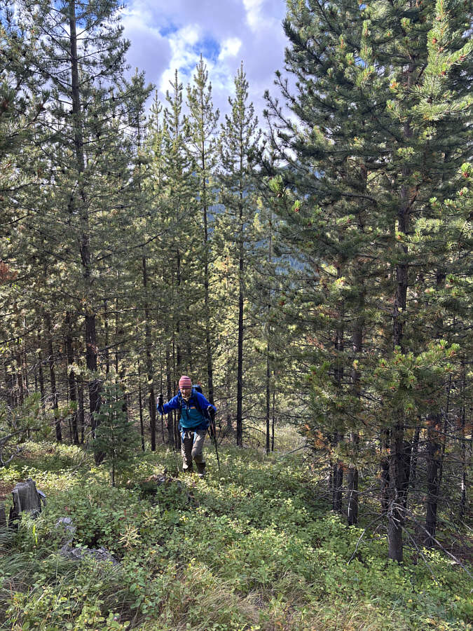
Following the AllTrails route! Zosia hikes off-trail up the slope.
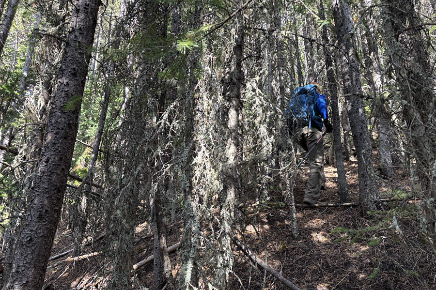
The bushwhacking was not too bad overall, though. The forest is quite dense in some places.

Finally get some views!

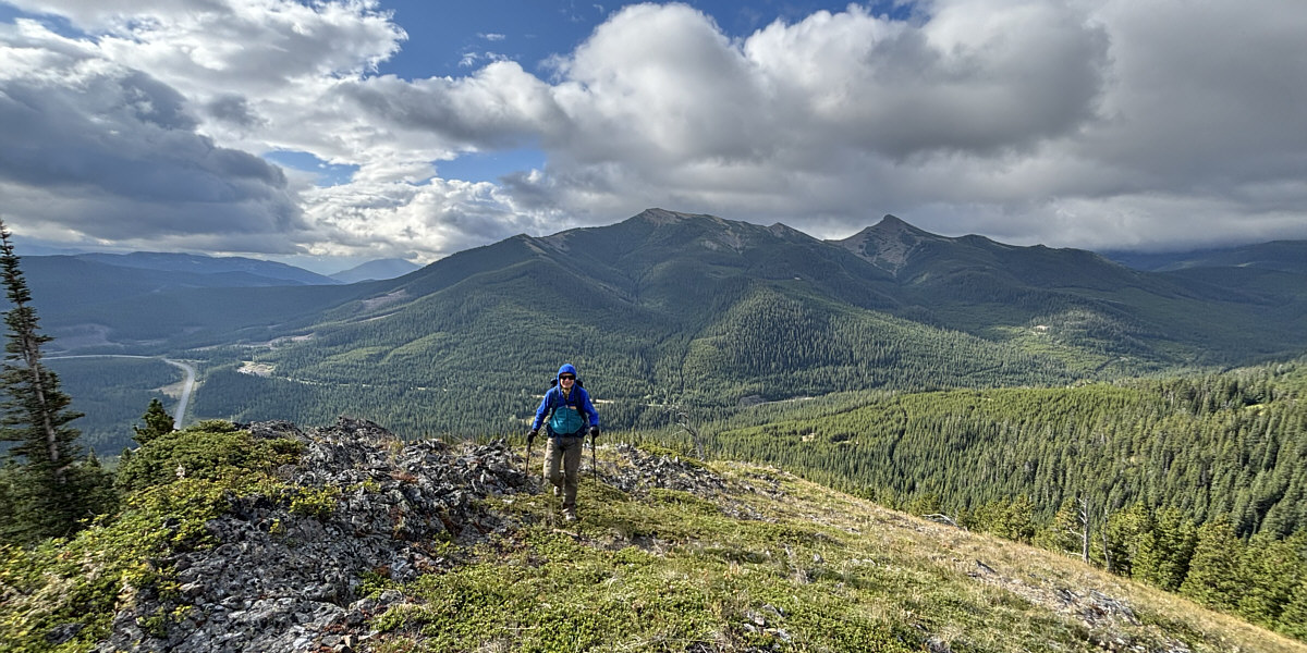
Zosia finally breaks out of the forest onto an open ridge.  Visible behind her are McGillivray Ridge (centre) and Ma Butte (right).
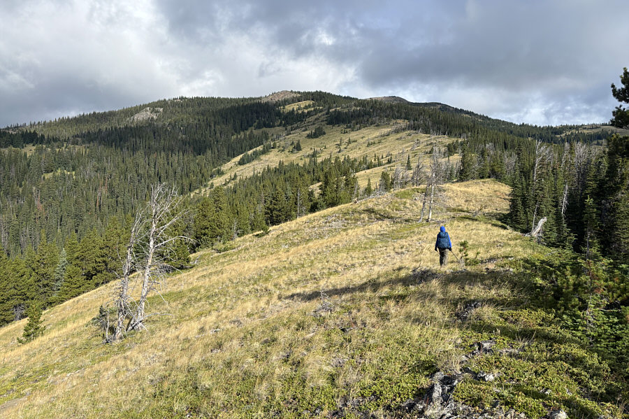
 

Still some route-finding left to do... The open ridge offers easy off-trail hiking.
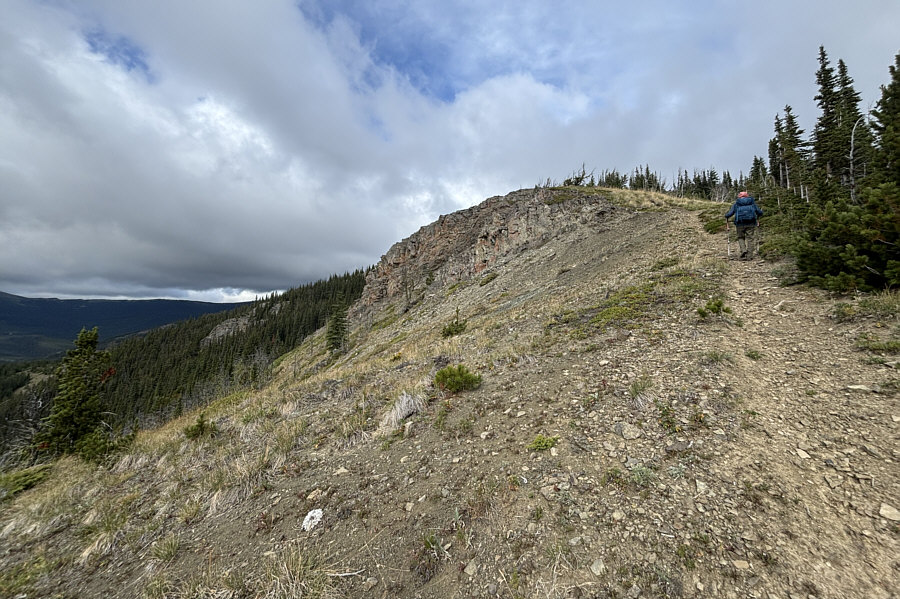
Nice to finally be on a trail again! Zosia stumbles onto a nice trail going up the ridge.
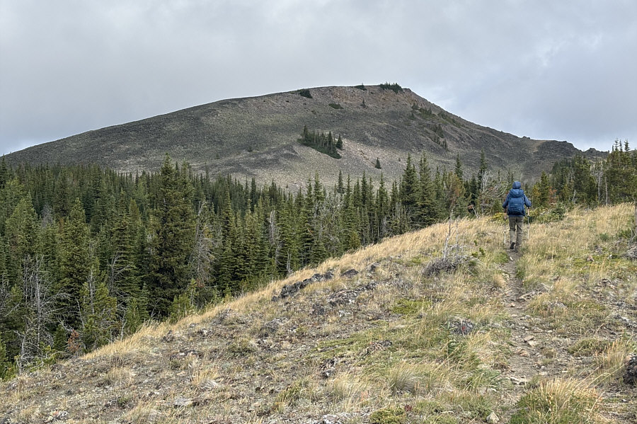
Looks like nice terrain for ski touring... Zosia gets her first clear look at the top of "Vicary Creek Ridge".
See the stick on the ridge? Abandoning the trail, Zosia heads straight up to the ridge crest.
The true high point is not so obvious. After gaining the ridge crest, Zosia walks toward a cairn near the true high point.
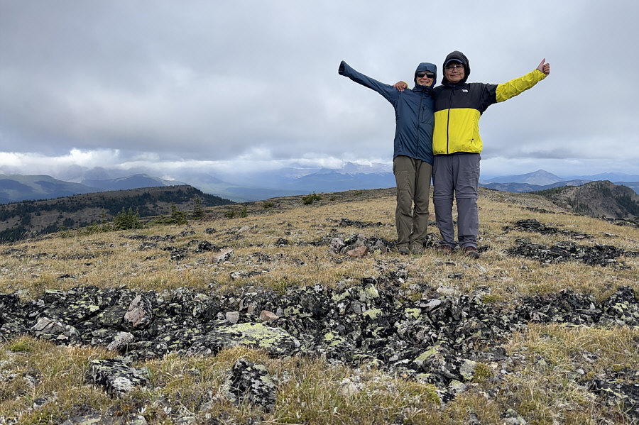
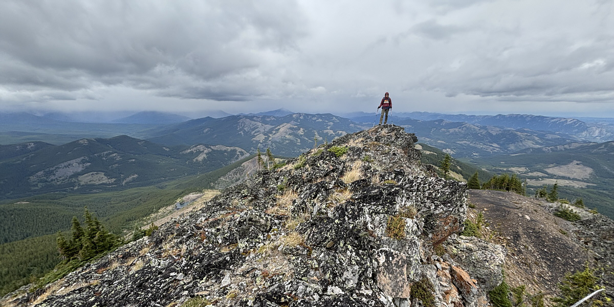
Too windy to linger though. Zosia and Sonny stand on the true high point of Vicary Creek Ridge (2347 metres).
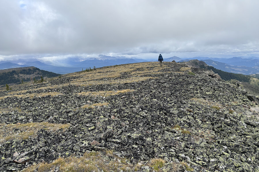
A chilly wind made it too uncomfortable to linger on the true high point, and with extra energy to spare, Zosia and I decided to traverse to the north end of Vicary Creek Ridge.  This entailed dropping into a dip and then regaining the ridge crest past a minor bump followed by an easy walk to the north end. After tagging the high point at the north end, we retreated a short distance and then dropped slightly down the lee side of the ridge to get out of the wind for a short lunch break.

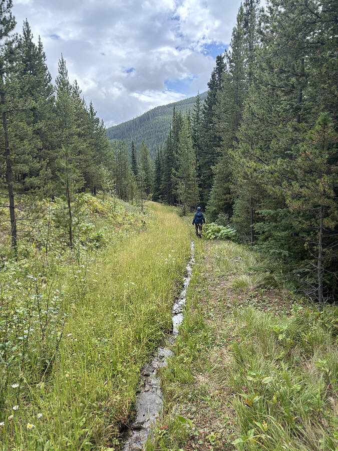
When we resumed hiking, Zosia and I backtracked to the dip and then skipped the true high point by staying low on the east side of the ridge crest.  We then regained the same trail we stumbled upon and followed it down a different ridge than the one we ascended.  Strangely, the well-defined trail disappears in a couple of spots along this ridge, but the terrain is open enough to allow for easy navigation with minimal bushwhacking.  Lower down, we ended up on a logging road which led us to a T-intersection.  Not entirely sure which way to go, we took a chance and turned left onto a reclaimed road which turned out to be the very same one we left at the aforementioned split near the beginning.  The road had a few soggy sections but was otherwise easy to hike.  Returning to the split, we simply retraced our steps from there back to our parked car.

Although the bushwhacking during our ascent was not bad, I would recommend ascending our descent route which has a good road and trail to follow most of the way.
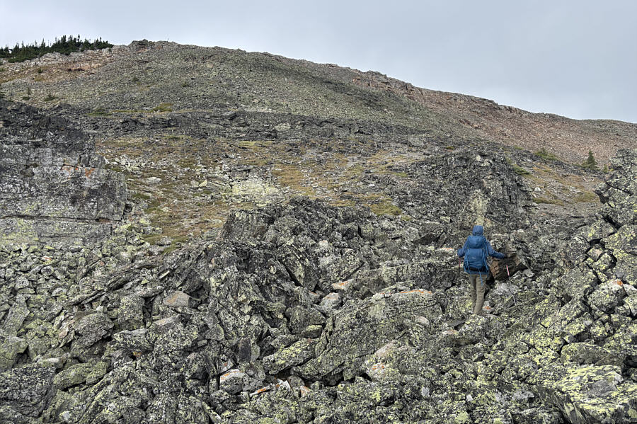
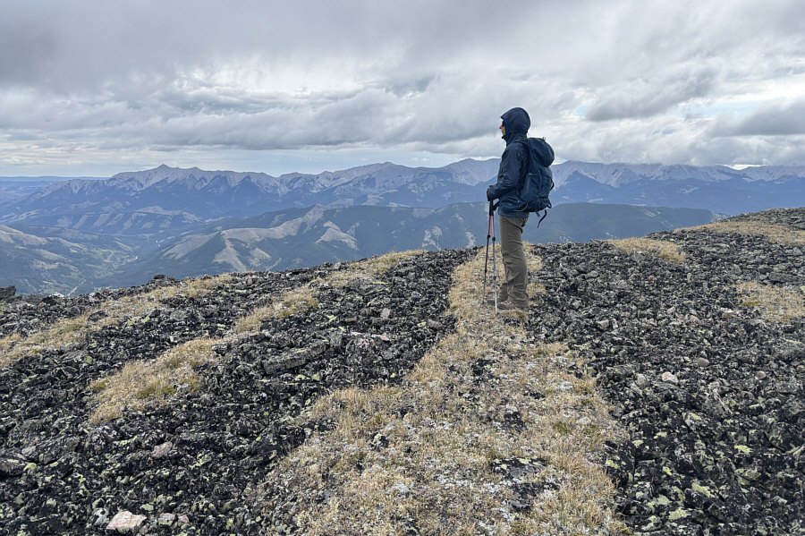
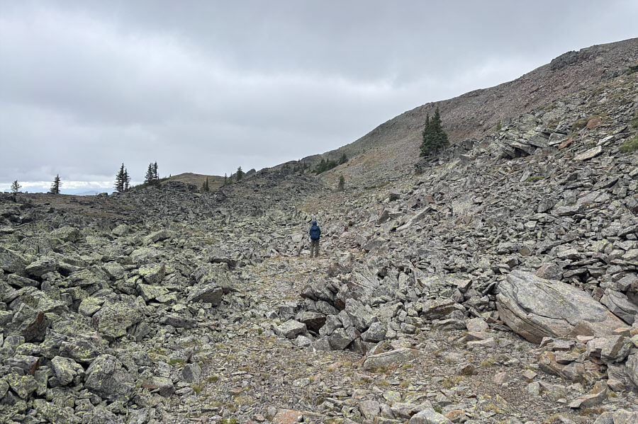
Not easy to walk on! The striped pattern in the ground along the ridge crest is the result of repetitive freeze-thaw cycles over a long period of time.
Can you spot the inukshuk? Heading north from the true high point, Zosia drops into a dip along the crest of Vicary Creek Ridge.
Lotsa larches here...just not golden yet! Zosia hikes toward the north end of Vicary Creek Ridge (right).  The pointy peak at distant centre is Sugarloaf Lookout.

Look, there's even a little lake at left!

Zosia stands atop the high point (2330 metres) at the north end of Vicary Creek Ridge.
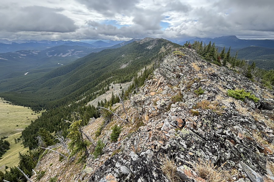
 

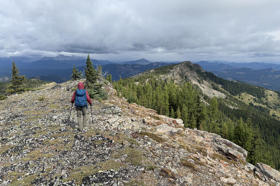
Time for a snack break but somewhere sheltered from the chilly wind! This is looking back south at the entire length of Vicary Creek Ridge from the high point at the north end.
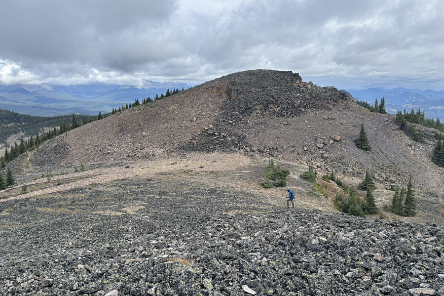
There are trail markers, but the trail is kind of intermittent. On the return journey, Zosia bypasses the true high point of Vicary Creek Ridge by hiking below and to the east of the ridge crest.
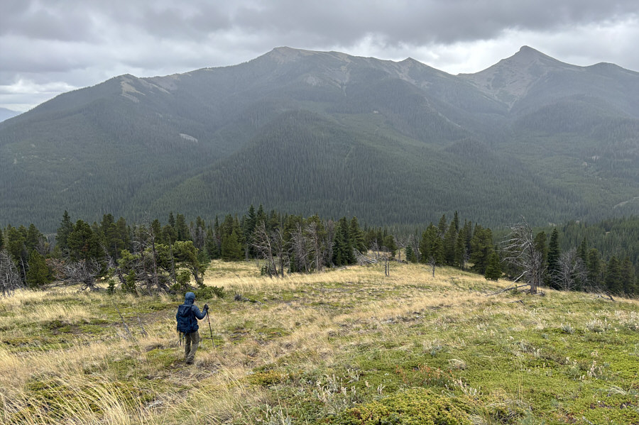
This avoids all the bushwhacking we did during our ascent. At the south end of Vicary Creek Ridge, Zosia descends a different ridge than the one she ascended.
The hike back to our starting point worked out beautifully! Zosia follows a reclaimed road which turns out to be the same one she started on at the beginning.
A fantastic hike that deserves more love! Total Distance:  12.3 kilometres
Round-Trip Time:  6 hours 19 minutes
Cumulative Elevation Gain:  695 metres

GPX Data