BOU AVENUE
Black Prince Outlier (GR248203)
Looking for a quick outing since we had a
party to attend later in the day, Zosia Zgolak and I opted to climb Black
Prince Outlier in Alberta's Peter Lougheed Provincial Park on 16 December
2017. The route is described as a snowshoe
trip by Bob Spirko, and although we considered using AT ski gear, we
ultimately opted to use snowshoes since we were uncertain about snow
conditions and the complexity of the terrain.
Given the recent stretch of warm weather
in the mountains, I was shocked by how cold it was at the trailhead
(Smith-Dorrien day use area) on this day--a frosty -16°C!
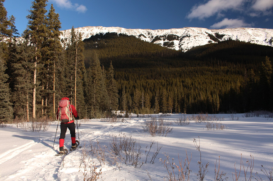
We quickly geared up and followed old tracks across the flats to Smith-Dorrien
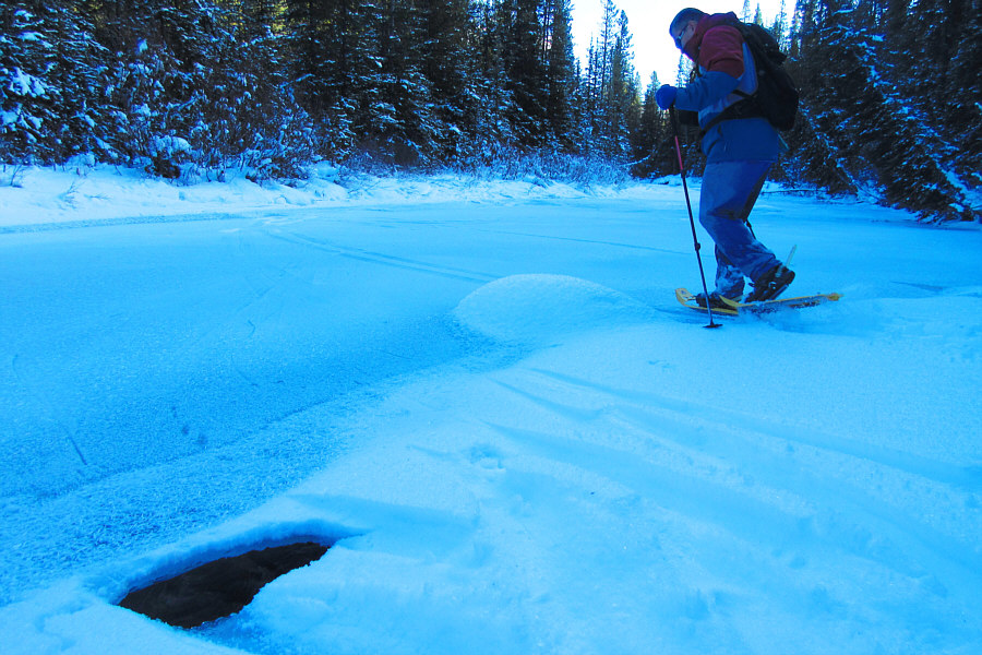
Creek. While the creek was mostly frozen, there were still a few
weak spots in the ice, and at one point, I nearly punched through to flowing water with my right foot. On the far side of the creek, we
continued to follow the tracks through bushy terrain but eventually lost
them altogether higher up the slope.
Snow conditions were far from
ideal on this day. The snow's sugary consistency made it
challenging to gain traction especially on steeper terrain. I often had to pull on tree branches to make any upward progress.
While Zosia broke trail and seemingly danced up to the ridge top, I
floundered badly in the treadmill snow. I only managed to catch up
to Zosia on the ridge top when she got cold waiting for me and turned
around to see if I had gotten stuck somewhere.
Just as Spirko describes in his report,
the high point is at the north end of the ridge top and is largely devoid
of views because of tree cover. We wandered a little past the high
point before turning around and stopping for a short break. As we
backtracked to the south end of the ridge top, Zosia noticed fresh ski
tracks overlying our snowshoe tracks. Shortly after, we ran into
three intrepid skiers who were removing their climbing skins in
preparation for a run down the steep east face. Zosia and I both
wished them luck before we resumed retracing our footsteps. Unlike
the ascent, the sugary snow worked well in our favour on descent, and we
dropped quickly down the slope and re-crossed Smith-Dorrien Creek without
much trouble. In fact, we beat the three skiers back to the
trailhead by several minutes although that was not entirely surprising
since the lower reaches near the creek are hardly what I would consider
skiable terrain.
With all the hard
work done for the day, we headed home to get cleaned up and to refresh
ourselves for a long night of eating, singing and dancing!
 |
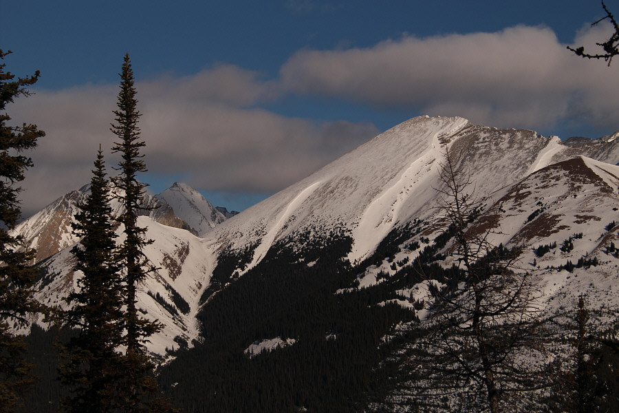
Here is the view of Black Prince
Outlier from the trailhead. |
 |
Zosia crosses frozen Smith-Dorrien
Creek. |
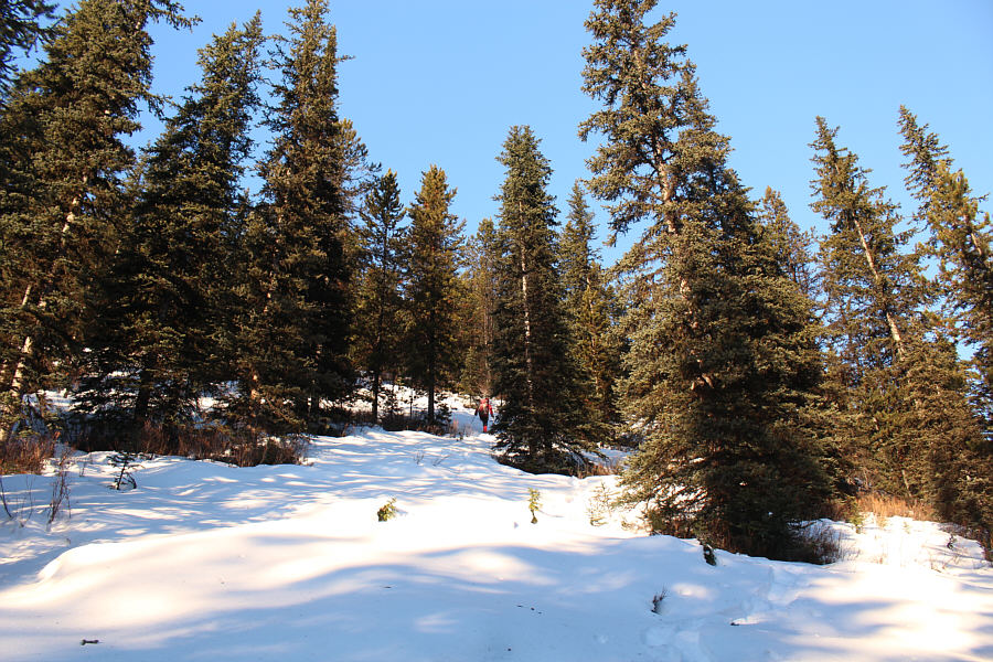 |
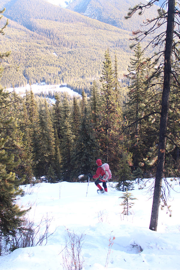
Zosia ascends typical terrain on the
east side of Black Prince Outlier. |

A break in the trees grants this view of
Mount Black
Prince.
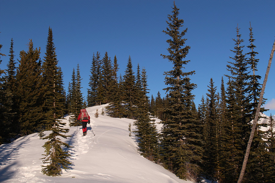 |
Zosia proceeds along the crest of the
ridge. |
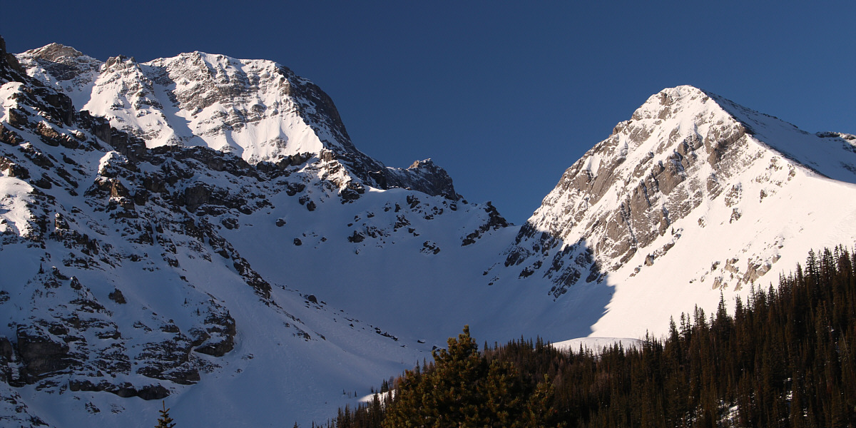
Another break in the trees grants this view of
Blacksmith Ridge (right).


