From Revelstoke, drive south along Fourth Street E which becomes Airport Way after crossing the bridge over Illecillewaet River. Continue south beyond the bridge for 9.4 kilometres to a pullout on the east side of the highway. A sign board at the south end of the pullout marks the start of the trail.
Knowing that we had a long day ahead of us, Zosia and I quickly settled into a comfortable but steady pace as we followed the well-maintained trail into the forest. The trail initially rises through a couple of switchbacks before leveling out and making an inexplicable and annoying dip as it runs parallel to the highway for a couple of kilometres. About 2.5 kilometres from the start, the trail drops into a gorge to cross a bridge over an unnamed creek, and from there, it begins to climb up the mountain in earnest.
|
|
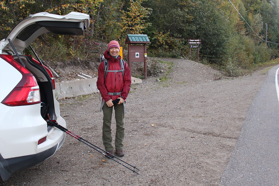
At the trailhead, Zosia is ready for a long day of hiking. |
|
|
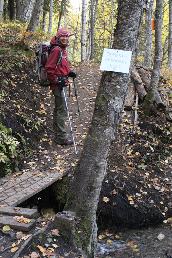
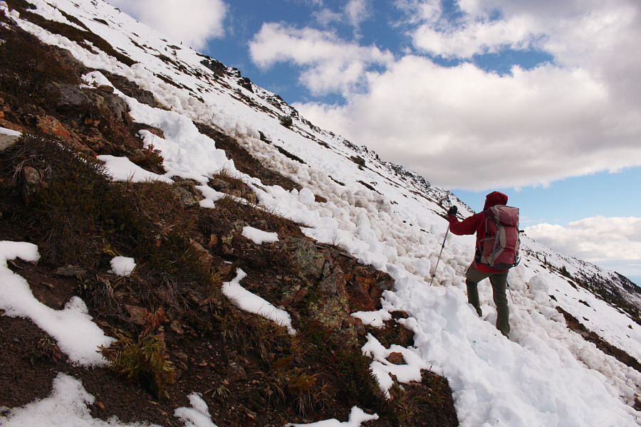
The trail crosses a creek that is apparently used by locals as a source for drinking water. |
|
|
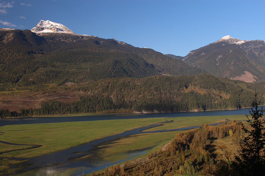
A break in the trees grants this view to the west of Mount Begbie (left) and Mount Macpherson (right) across Upper Arrow Lake (Columbia River). |
|
|
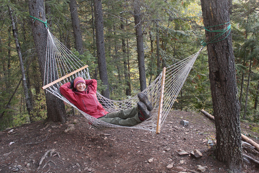
A spur trail about 2.4 kilometres from the trailhead leads to this comfortable hammock on a small knoll in the forest. |
|
|
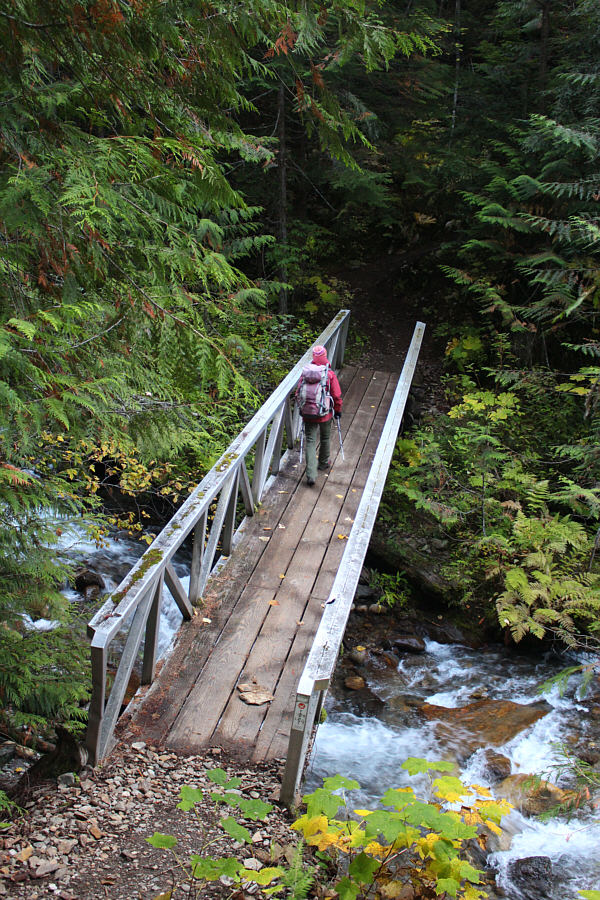
A short distance beyond the hammock, Zosia crosses an unnamed creek on a good bridge. |
About a kilometre beyond the cabin, the forest begins to thin out, and we finally got our first glimpse of Mount Cartier's summit block. We still had a lot of elevation gain left, but most worrisome was the abundance of snow on the upper mountain. We continued hiking up several unusually long switchbacks, and I surmised that the trail was designed as such to accommodate mountain bikers. While the switchbacks were easy enough to walk up, gaining elevation here was excruciatingly slow.
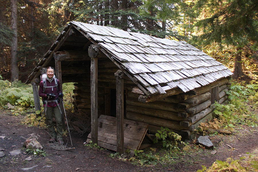 |
A dusty old cabin sits along the trail about halfway up the mountain. |
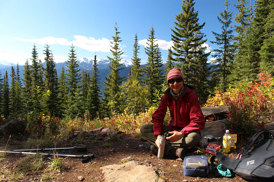 |
Zosia takes a break at a clearing near the cabin. |
 |
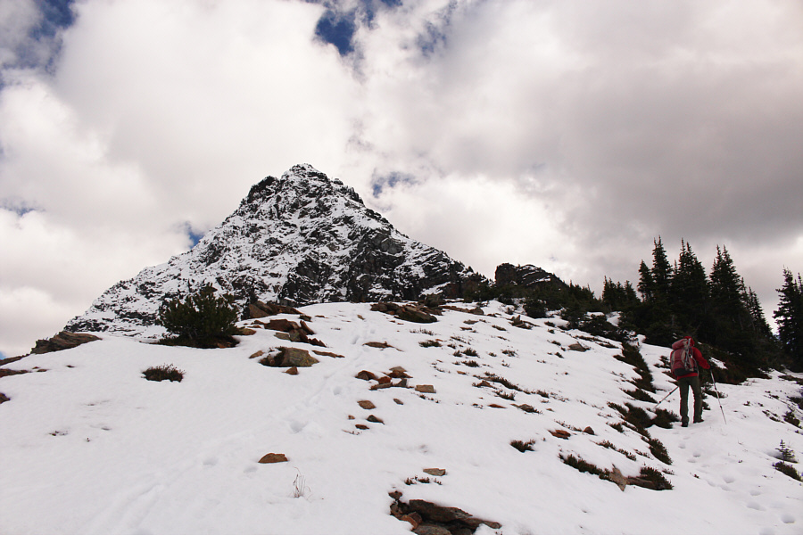
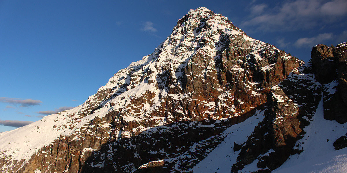
The summit block of Mount Cartier comes into view as trees begin to thin out higher up the trail. |
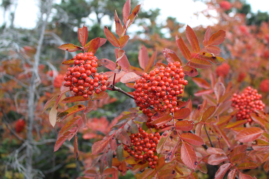 |
The fruits of a mountain ash match the colour of its leaves at this time of year. |
 |
The trail makes several long, sweeping switchbacks at this point and gains elevation rather slowly. |
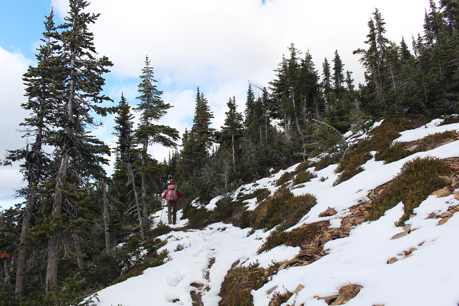 |
Zosia begins to encounter more snow higher up. |
 |
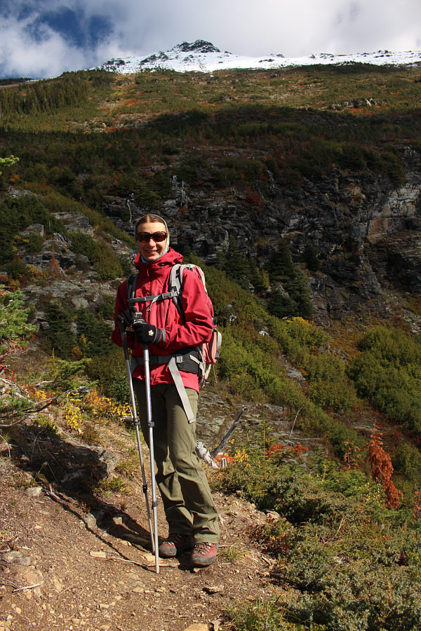
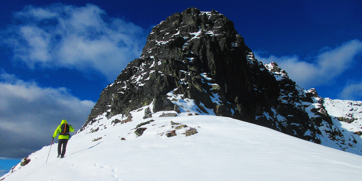
The northwest aspect of Mount Cartier looks rather daunting as Zosia continues along the trail. |
 |
Mysterious smoke can be seen rising in the distance (right of centre). |
 |
Clouds are reflected in Upper Arrow Lake. |
 |
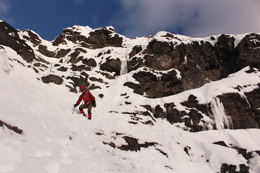
Zosia crosses the remnants of an early-season avalanche. |
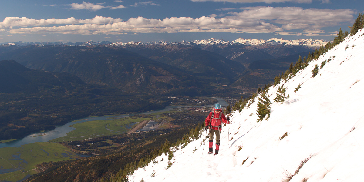
The town of Revelstoke is visible behind Zosia as she trudges up the snow-covered trail.
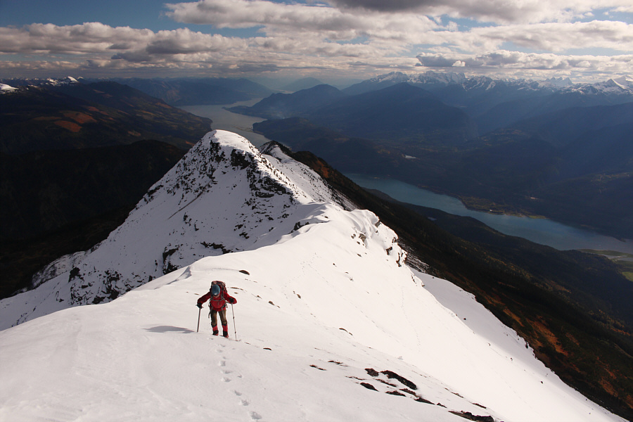 |
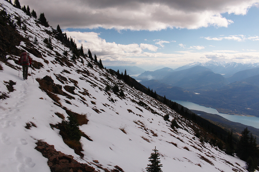
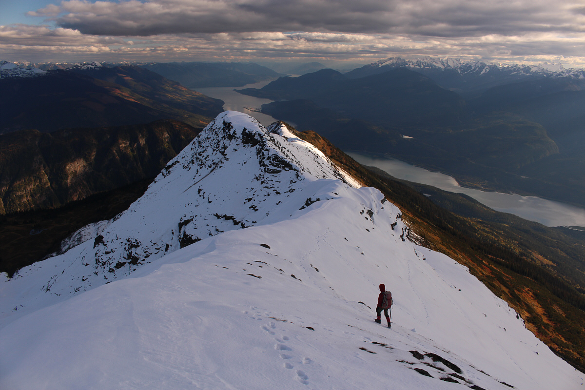
Upper Arrow Lake stretches away into the distance as Zosia gains the south ridge of Mount Cartier. |
The crux is an exposed traverse across the upper west face of the summit block. There is a metal cable handrail and another fixed rope here, but because both were partially buried by snow on this day, I had to rely on my ice axe for security while crossing a couple of short but unnerving sections. As I rounded a corner, I could see an old fire lookout building which sits on a ledge just below the summit. Since Zosia was waiting for me, I decided to forego visiting the lookout building and simply scrambled up the final 10 metres of steep snow and rock (more fixed rope here) to the summit.
Sonny heads past the south end of the summit block.
Photo courtesy of Zosia Zgolak
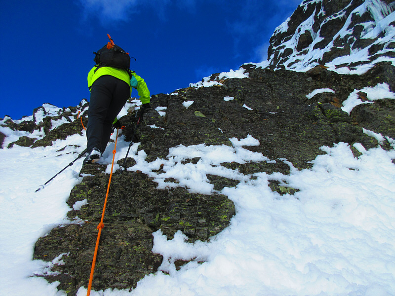 |
With the aid of a fixed rope, Sonny climbs up a weakness in the cliffs guarding the summit block. Photo courtesy of Zosia Zgolak |
 |
Zosia climbs up increasingly steep terrain. |
 |
An old fire lookout building is perched on a ledge just below the summit. |
 |
Sonny kneels on the summit of Mount Cartier (2603 metres). |
 |
The view to the north includes the town of Revelstoke (bottom left) and Mount Mckenzie (right). |
 |
A plethora of snowy peaks span the northeastern horizon. |
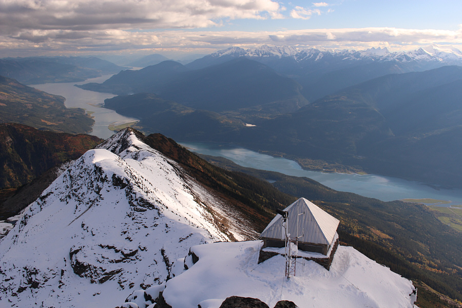 |
Beyond the lookout building, Upper Arrow Lake commands all the attention to the south. |
Back in the forest, we had a close encounter with a big porcupine which gave us a bit of a scare since it resembled a small bear in the growing darkness. We actually followed the porcupine for quite a distance down the trail before it finally disappeared into the undergrowth.
The rest of our descent was numbingly long and uneventful. The thousand-metre drop between the cabin and the bridge seemed especially interminable and monotonous. The descent was so sustained and hard on our legs and feet that it actually felt good to climb uphill again just beyond the bridge and closer to the trailhead.
Upon returning to the trailhead, we drove back to Revelstoke and checked into a cheap hotel for the night. A hot shower and a comfortable bed did wonders for our recovery after a brutally long day.
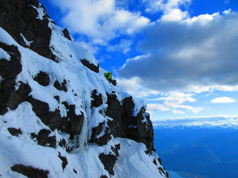 |
Sonny carefully makes his way back
along an exposed traverse on the summit block. Photo courtesy of Zosia Zgolak |
 |
Zosia carefully descends the steep terrain just below the crux traverse. |
Here is another view of Mount Cartier's south ridge and Upper Arrow Lake.
 |
Zosia has her ice axe ready as the snow slope is steep enough for an involuntary slide. |
Late day sunshine illuminates the top of Mount Cartier.
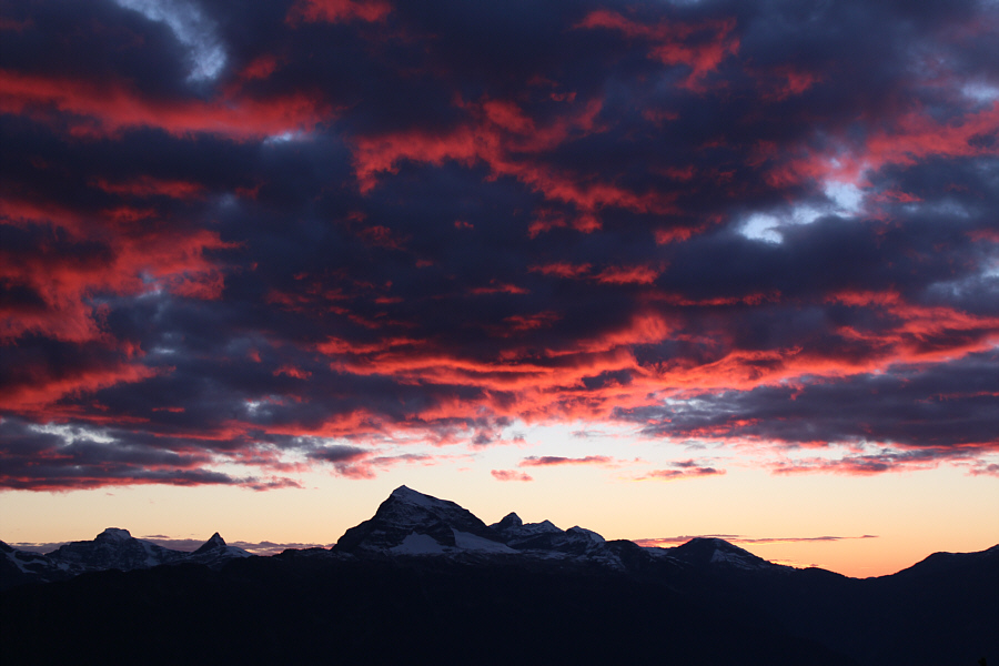 |
The sun sets to the west behind Mount Begbie. |
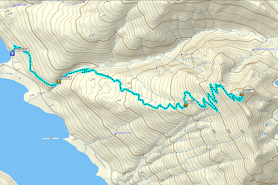 |
Total
Distance: 31.9 kilometres Round-Trip Time: 13 hours 53 minutes Net Elevation Gain: 2146 metres |