BOU AVENUE
Ochre Spring Peak

Bob Parr, Steve Tober, Marta Wojnarowska, Zosia Zgolak and I ascended Ochre Spring Peak in British Columbia's Kootenay National Park on 16 June 2019.  The unofficial name for this peak, located near the confluence of Ochre Creek and Vermilion River, was first coined by So Nakagawa in his 2011 trip report.  Numerous other trip reports have now surfaced online especially after the peak's inclusion in Andrew Nugara's guidebook, More Scrambles In The Canadian Rockies.

Starting from Paint Pots trailhead (north side of Highway 93 about 9.6 kilometres west of Continental Divide or 20.9 kilometres north of Vermilion Crossing), we crossed a bridge over Vermilion River and turned left at a T-junction just beyond.  We soon passed the colourful paint pots near Ochre Spring and kept left at a second T-junction.  About 2 kilometres west of the second junction, the trail crosses the bottom of an obvious avalanche gully.  We left the trail here and thrashed through some bushy terrain before settling into a long grind up the gully.  There was still a lot of lingering snow higher up in the gully, and a few in our group donned cleats to help with their traction.  The climb up the gully is relentlessly steep, but the most wearisome part of the ascent is on the upper mountain where the terrain opens up into vast rubble slopes.  While my partners seemingly danced up these slopes, I constantly fell behind and felt like I was stuck on a never-ending treadmill.  Nevertheless, the slopes pose no technical difficulties, and slowly but surely, we all eventually slogged our way up to the spacious summit.

The weather turned out better than expected on this day, and consequently, we took an extended break at the summit to enjoy the far-reaching views in all directions.  On descent, Bob, Marta and I took advantage of numerous snow patches to glissade down the mountain while Steve and Zosia were content to stay mostly on their feet boot-skiing or scree-surfing.  Either way, we lost an enormous amount of elevation quite effortlessly and had a great deal of fun doing so.  Regretfully, the snow eventually petered out before the bottom of the avalanche gully, and we resumed a light thrash through the bushy terrain there.  The openness of the avalanche gully allowed us at one point to spot a bear foraging in a meadow below us.  However, it was far enough away to not pose any threat, and we regained our access trail without incident.  An easy and relaxing hike back to the trailhead capped off a wonderful outing with some fantastic company.  Special thanks go out to Steve for driving us all in his comfortable mini-van.
Like a bridge over troubled waters... The group crosses a bridge over Vermilion River near the start of the trip.
They could use a few extra boards! 
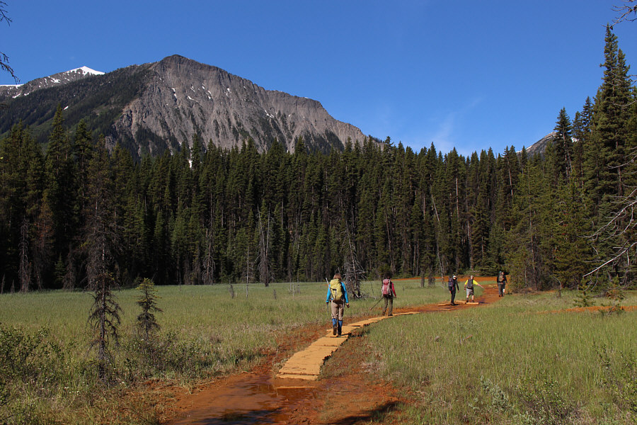
A boardwalk aids travel through a marshy section near Ochre Spring.
Wanna go for a dip? 
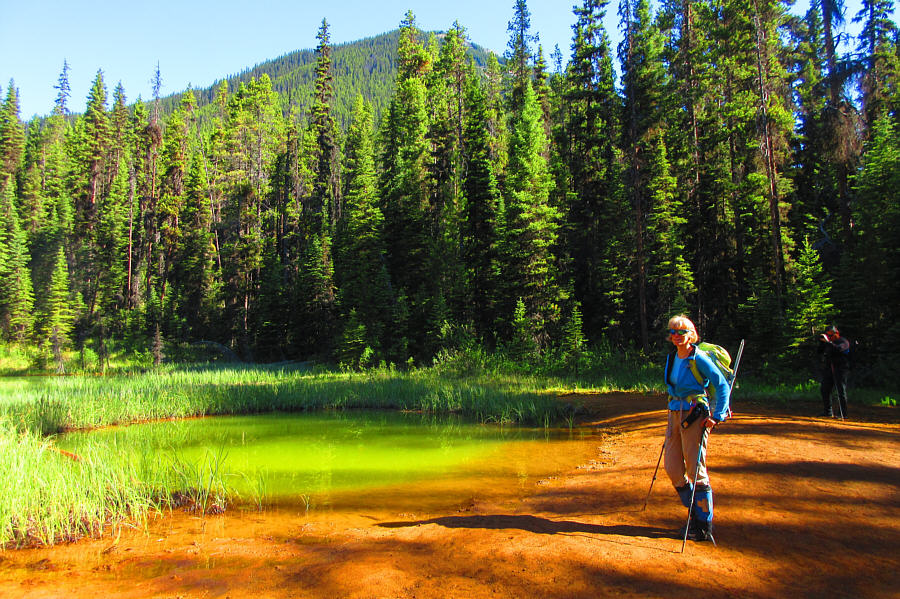
Marta arrives at one of the paint pots near Ochre Spring.  Ochre Spring Peak is partly visible through the trees.

Photo courtesy of Zosia Zgolak

And the grind begins... 
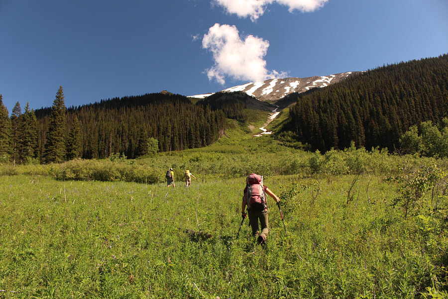
Steve, Marta and Zosia leave the trail and head for the avalanche gully.
Unrelentingly steep... 
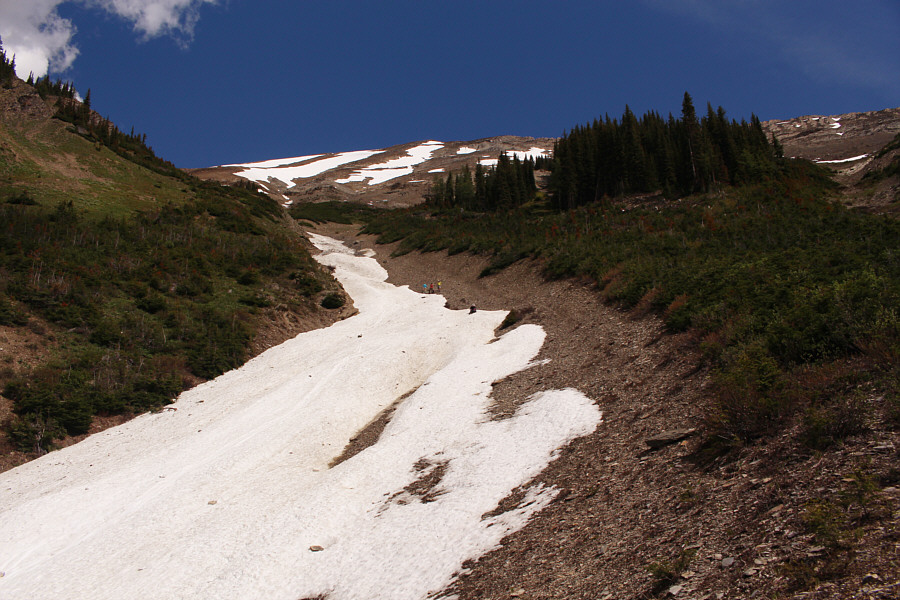
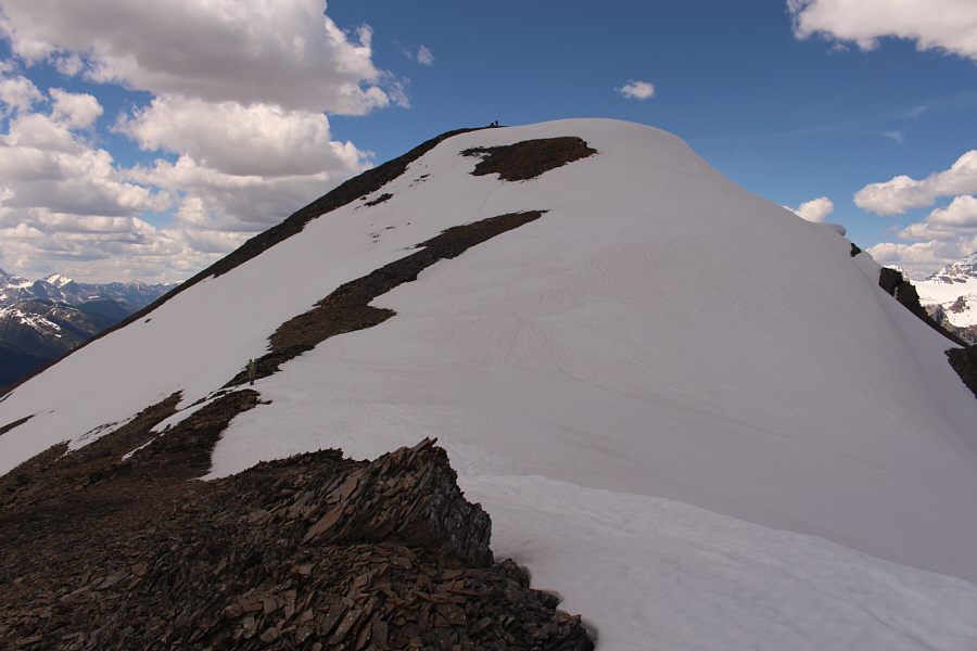
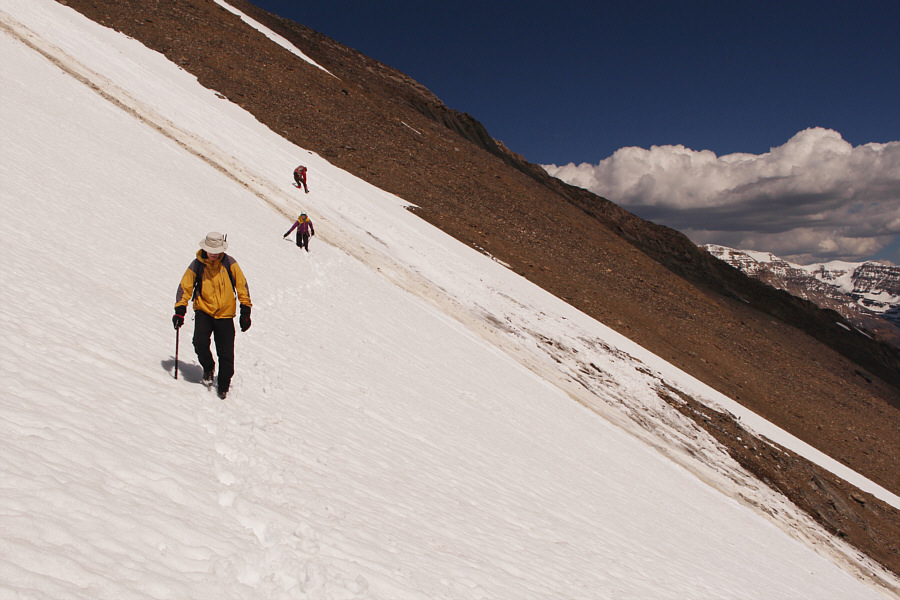
During the ascent, the group finds better purchase while climbing up rubble on the edges of the lingering snow patches.
Recently, two people died in Mongolia after eating raw marmot meat! 
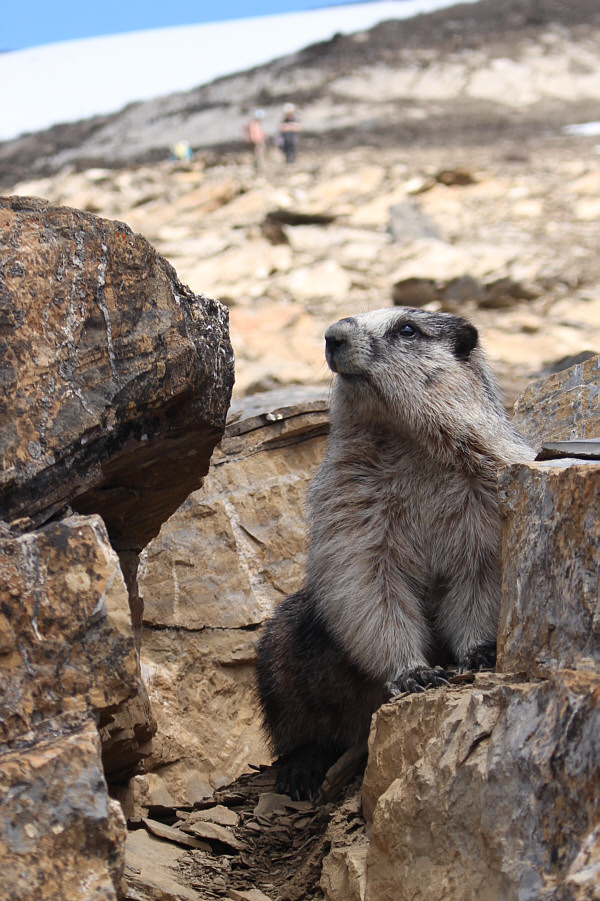
A hoary marmot stops to investigate the strangers invading its territory.
Worst part of the ascent right here! 
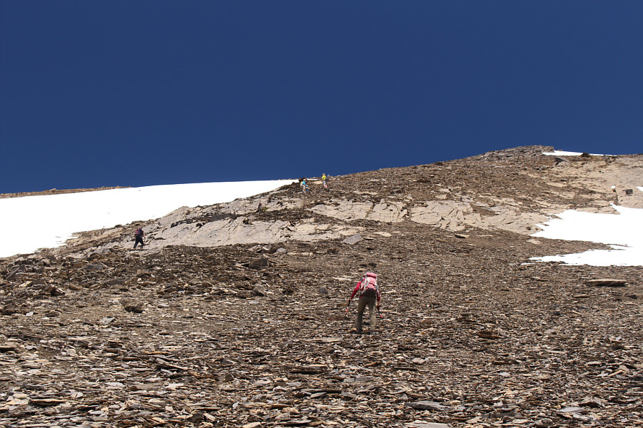
The group pushes up a seemingly interminable slope of loose rocks.
Almost still skiable! 
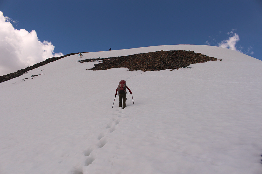
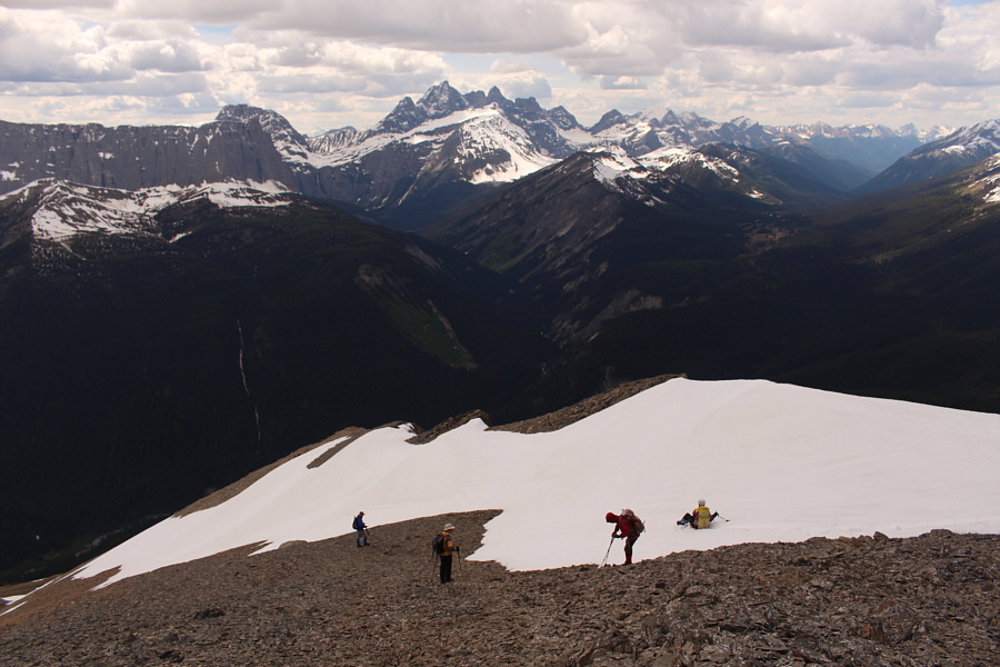
Marta climbs up the final slope before the top where Bob and Steve are already waiting.
The grind is nearly over! Zosia follows Marta up the final slope.

The girls wanna fight!

Zosia, Marta, Steve, Bob and Sonny stand on the summit of Ochre Spring Peak (2777 metres).


Don't normally see these peaks from this perspective! Prominent mountains to the northwest include Mount Biddle, Hungabee Mountain, Deltaform Mountain, Mount Allen and Mount Temple.
Stunning view!
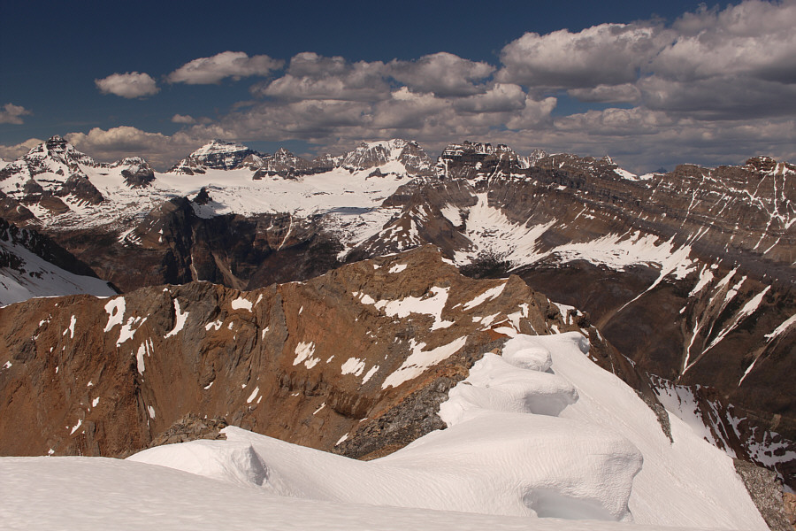
Mount Allen, Mount Perren, Mount Temple, Mount Little, Mount Fay, Quadra Mountain and Bident Mountain are all visible on the northern horizon.
Bob Parr and I shared some epic suffering going up Haffner Creek back in 2006! 
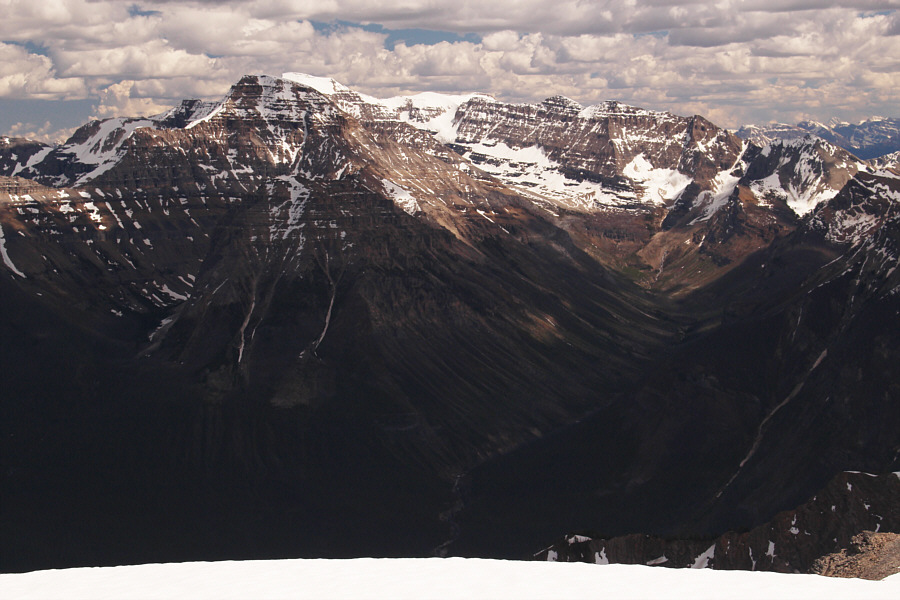
To the southeast, infamous Haffner Creek valley sits on the right while Stanley Peak and Mount Ball vie for attention at left.
Numa Mountain at centre may be a more realistic objective in the near future... The most striking mountain to the south is Foster Peak.

Wow. Just wow.

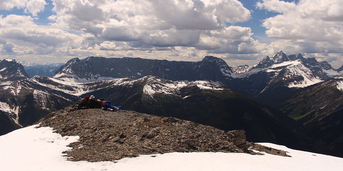
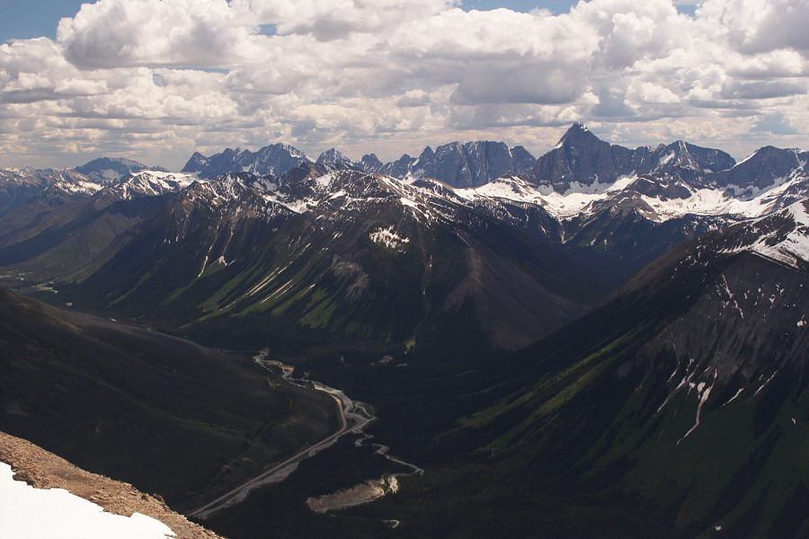
The Rockwall and Mount Goodsir steal the show to the west.


Time to wet our pants! 
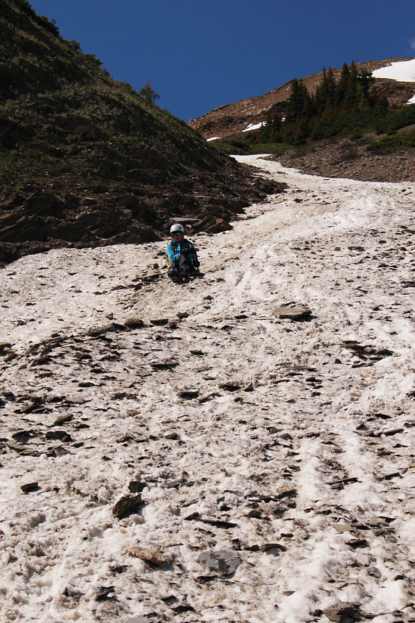
On the way down, the group tests a lingering snow patch to see if it is good for glissading.
The avalanche wasn't particularly dangerous, but it was shocking how far it propagated! The dirty streak in the snow slope is a section that slid after being triggered by Sonny further up.
Mr. Incredible is still going strong! 
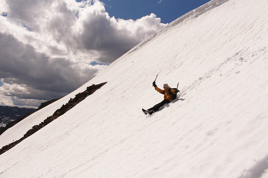
Bob begins his glissade down the snow slope.
Woo-Hoooooooooooooooooooooo!!!!! Glissading is a fast and fun way to lose a ton of elevation.
Does the trick, and they keep their bums dry! 
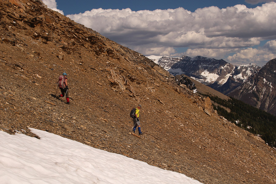
Zosia and Steve are content to walk down loose scree.
I've got a big bruise on my right butt cheek! 
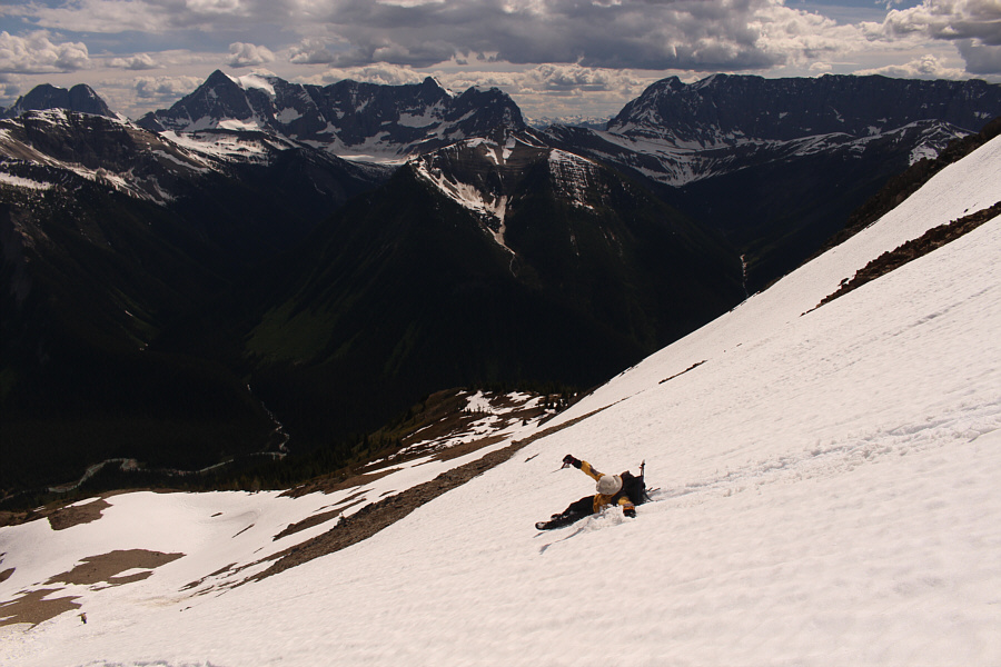
Marta dodges a few rocks while glissading in the avalanche gully.
And we sang "The Gambler" on the way down too! 
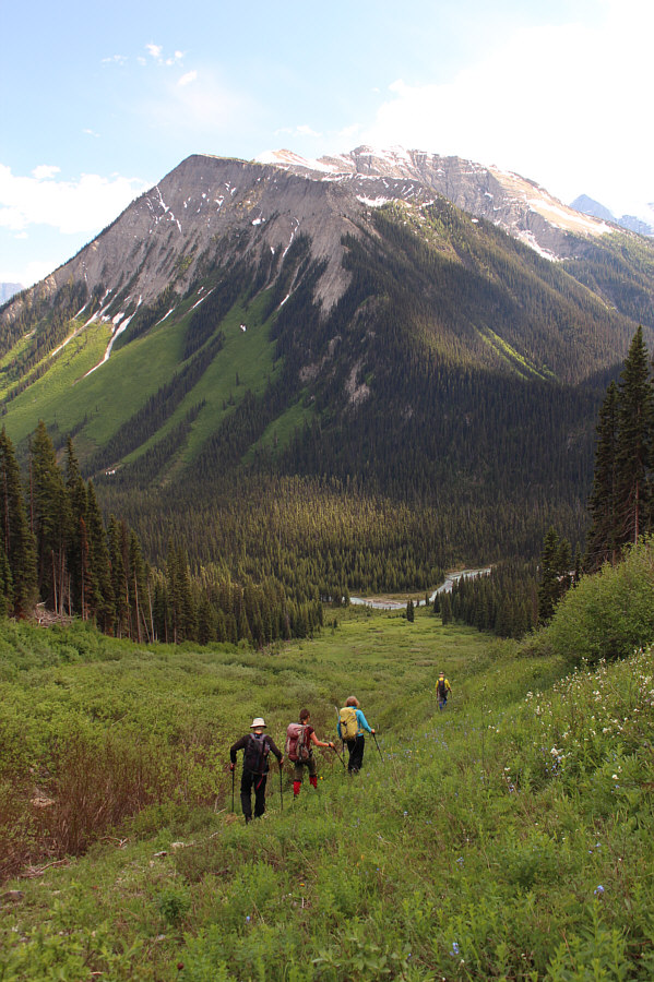
Past any lingering snow patches, the group walks down the remainder of the avalanche gully.
Hey bear! 
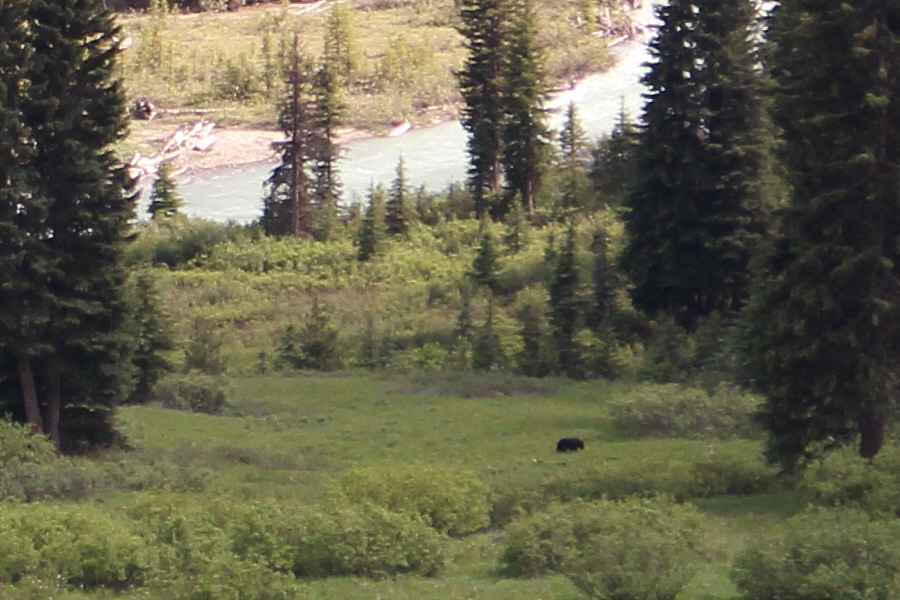
A bear is spotted in a meadow near the bottom of the avalanche gully.
The two southeast outliers of Mount Tegart may be worthy of a future visit... 
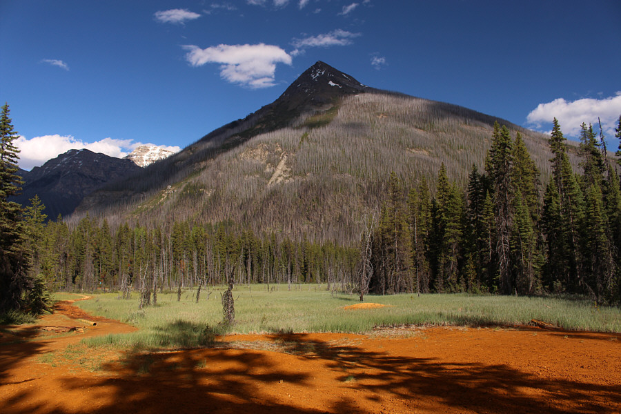
Vermilion Peak seemingly towers above the marshy section near Ochre Spring.
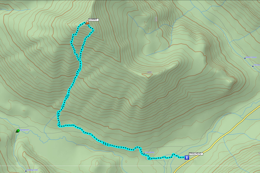
Plan for a late spring ascent to take advantage of good glissading conditions! Total Distance:  13.7 kilometres
Round-Trip Time:  9 hours 19 minutes
Net Elevation Gain:  1334 metres

GPX Data