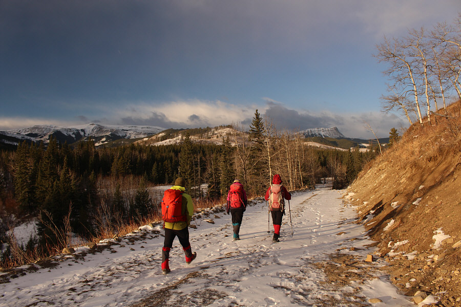
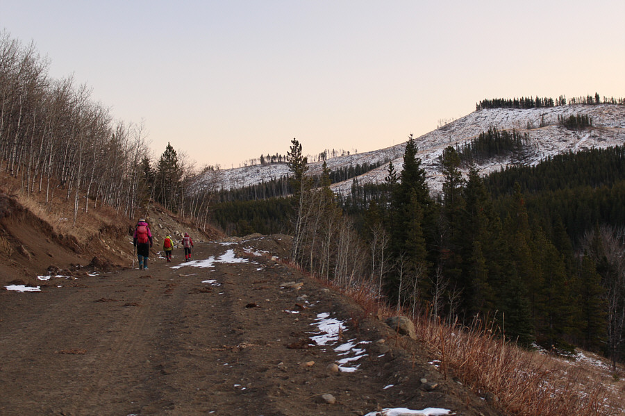
The group hikes on a road along the north bank of Willow Creek.


|
|
The group hikes on a road along the north bank of Willow Creek. |
|
|
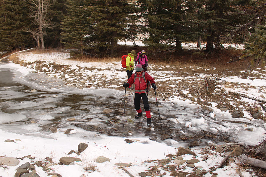
Peter and Andrea wait for Zosia to hop across partially-frozen Willow Creek. |
|
|
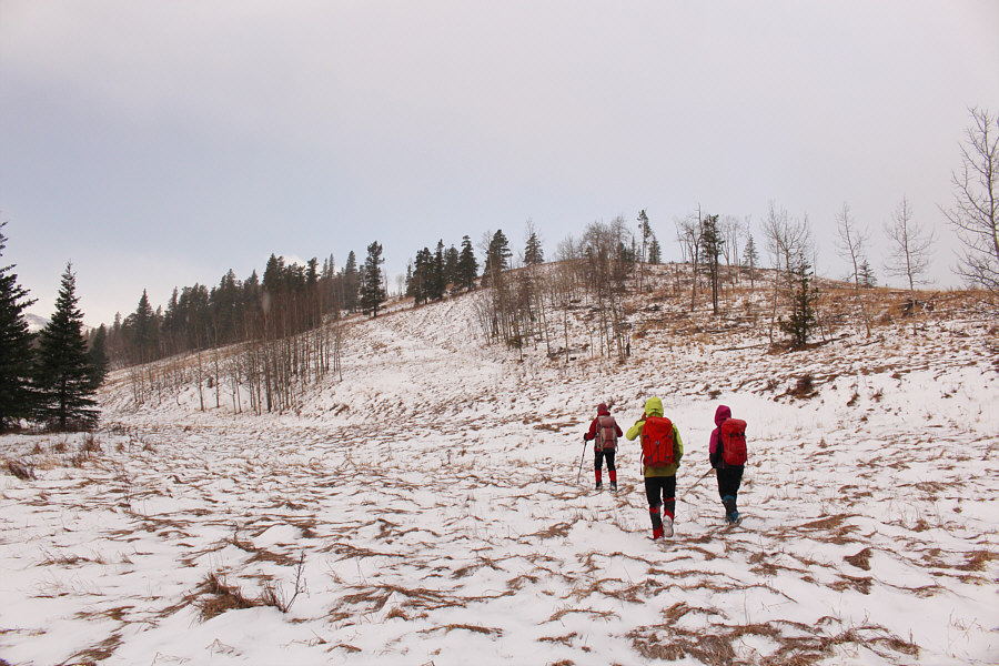
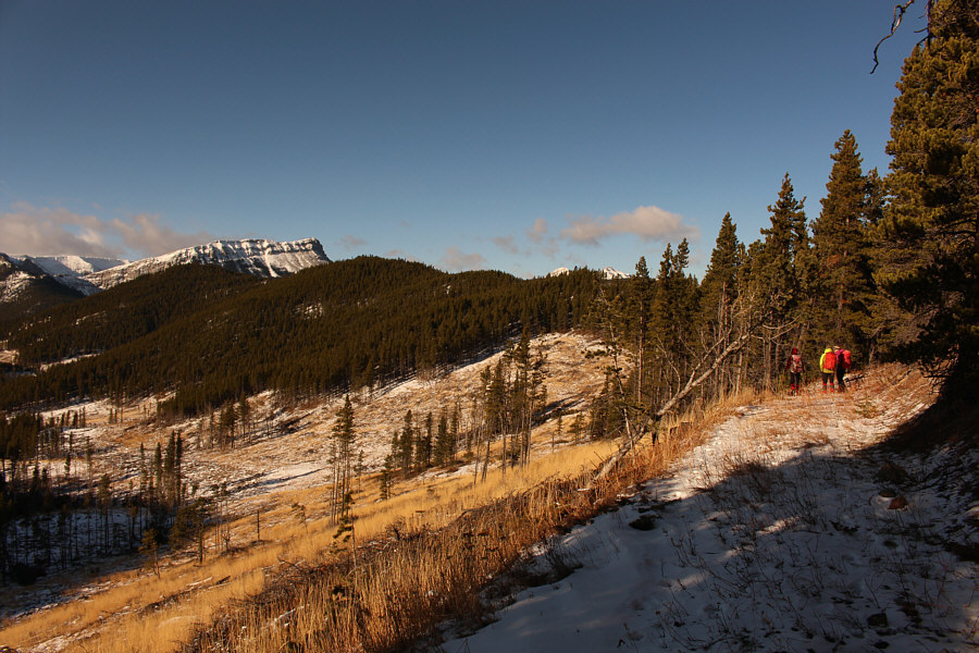
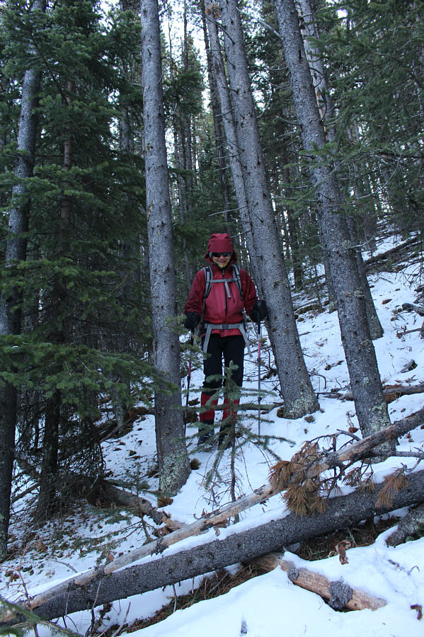
Leaving the road along Iron Creek, the group heads for the obvious beaten path rising up the slope ahead. |
|
|
The group tries to figure out the most efficient way to reach the obvious cut line across the intervening cut block. |
|
|
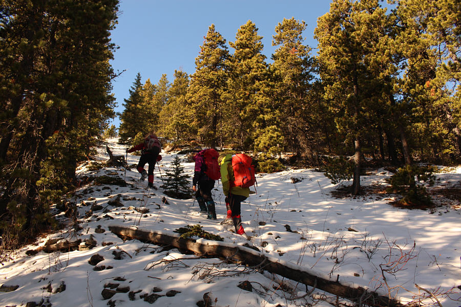
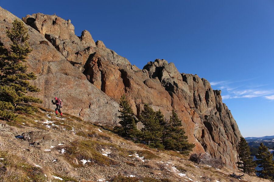
The cut line is unrelentingly steep. |
|
|
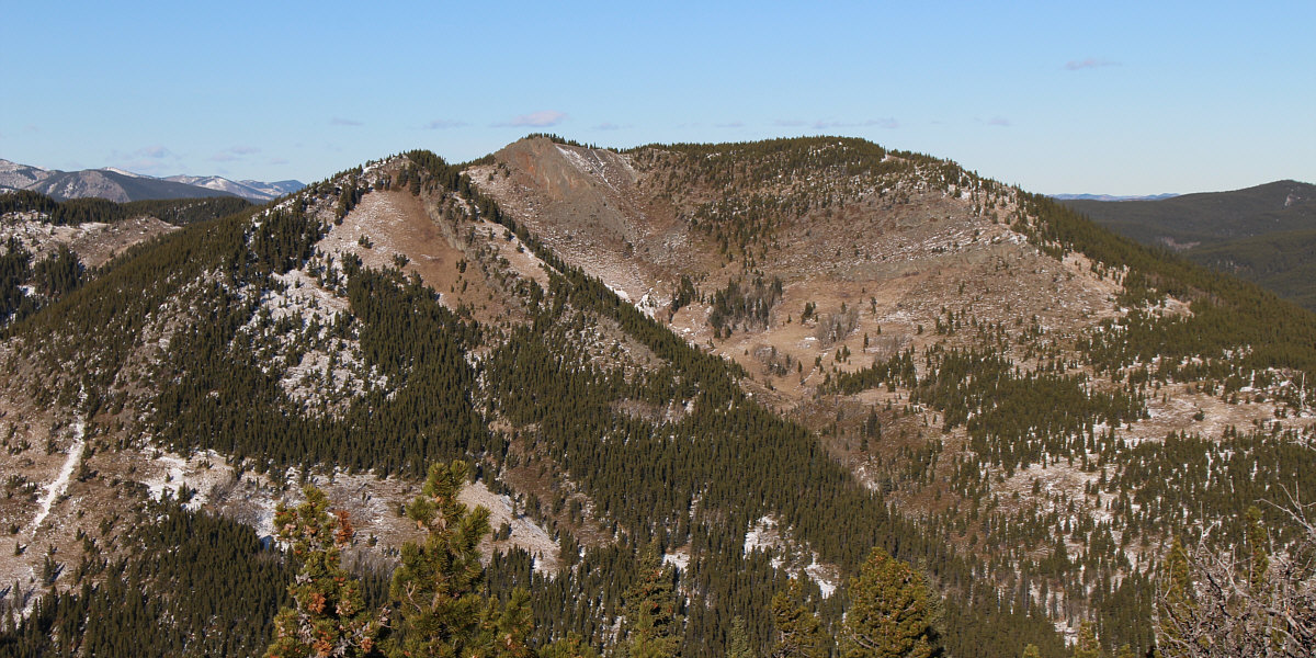
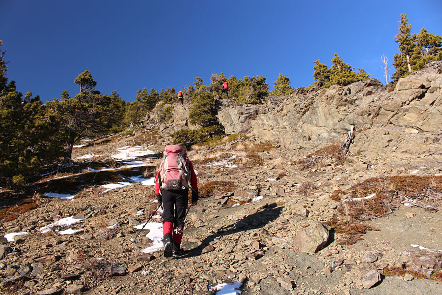
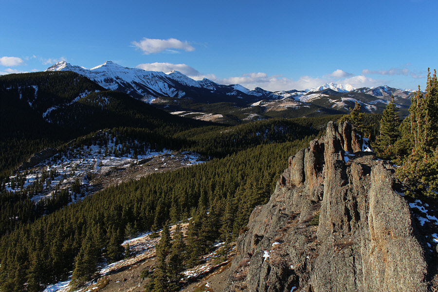
This open section of a reclaimed road grants a comprehensive view of the remainder of Cutline Ridge which is mostly forested. |
|
|
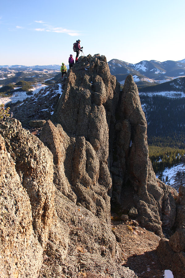
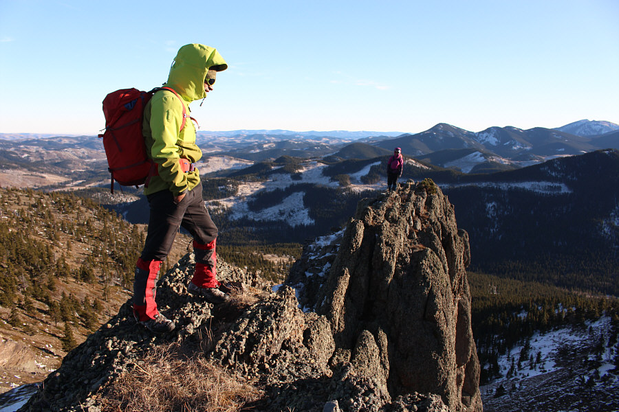
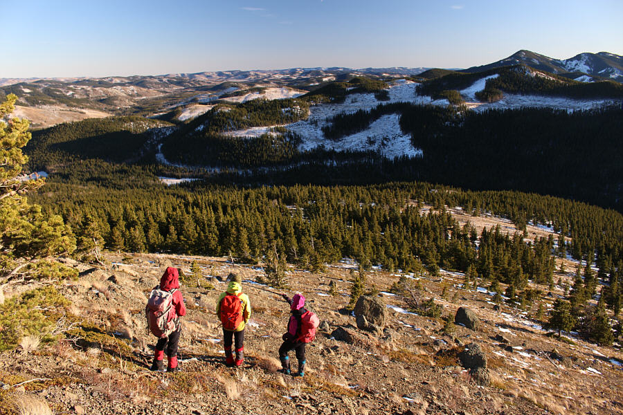
Zosia descends the penultimate bump en route to the highest point of Cutline Ridge at left. |
|
|
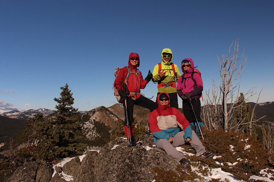
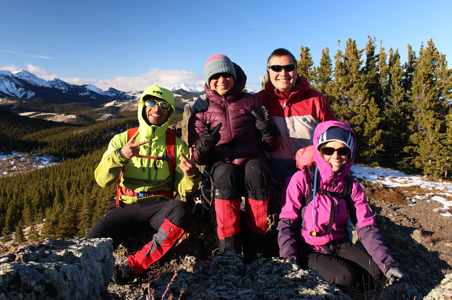
Zosia, Peter and Andrea stand around Sonny on the high point of Cutline Ridge (1862 metres). |
|
|
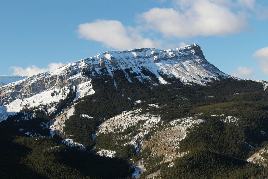
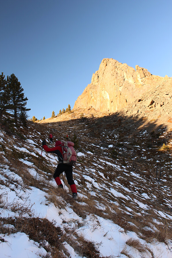
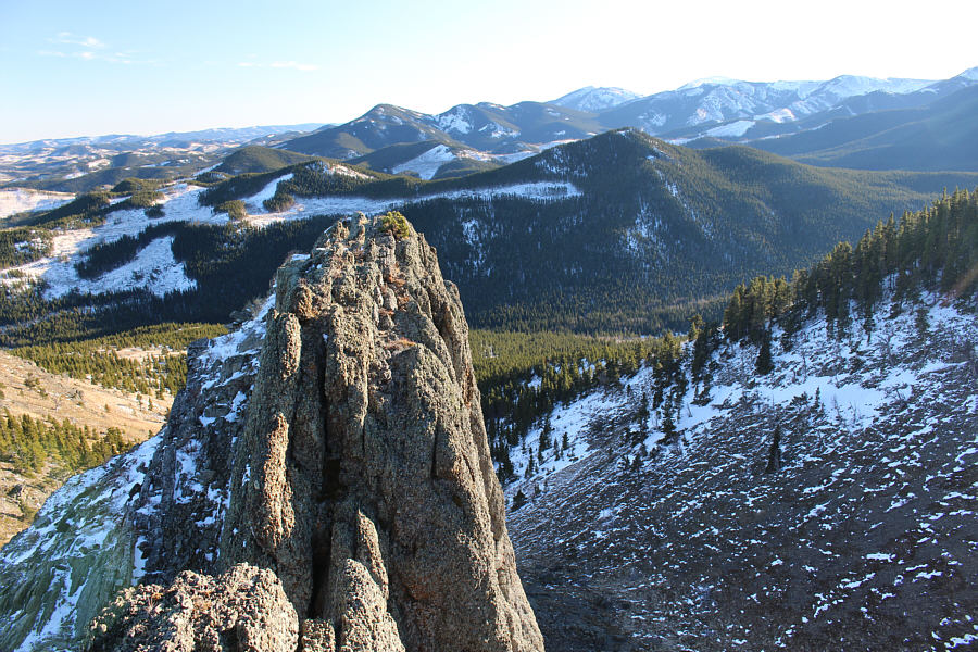
Sentinel Peak dominates the view to the west. |
Corral Mountain sits to the north of Cutline Ridge's high point.
From the high point of Cutline Ridge, Andrea, Peter,
Zosia and I backtracked for a short distance before plunging down
forested slopes into Corral Creek valley to the north. Peter, our
personal Peru
Andes Guide, did a great job of route-finding here, and contrary to
Dewit's lamentations about this section, I found the bushwhacking to be
fairly benign and no worse than what we already encountered on the crest
of Cutline Ridge. After reaching the valley bottom and hopping over
Corral Creek, we grinded up the southern slopes of Corral Mountain and
eventually worked our way into the obvious broad gully below the
impressive summit cliffs. These cliffs are easily circumvented near
the top of the broad gully, and we had no trouble scrambling onto the
mildly exposed summit.
For our return trip, Andrea, Peter, Zosia and I traversed over the lower
east summit of Corral Mountain before dropping back down into Corral
Creek valley. Some route-finding is required to get through some
easy cliff bands here, but we had no serious issues descending to the
valley bottom. We eventually gained an exploration road along
Corral Creek and followed it eastward. Instead of taking Spirko's
short cut, we stayed on the exploration road which ultimately crosses
Willow Creek and intersects the main road leading back to the highway.
While our chosen route is longer, it saves a bit of elevation gain and
eliminates any potential route-finding uncertainties. Having said
that, the walk along the aforementioned pockmarked section of road was
just as aggravating the second time around. In retrospect, I would
recommend either skiing the road (need enough snow to do so) or riding a
horse (need a horse and buns of steel).
 |
Zosia descends a forested slope on the north side of Cutline Ridge. |
 |
The group grinds its way up a rocky section on the south side of Corral Mountain. |
 |
The group climbs up a broad gully below Corral Mountain's summit cliffs. |
Andrea traverses along the base of the summit cliffs.
 |
Zosia approaches the top of the broad gully (out of view to left) where she will be able to circumvent these cliffs. |
 |
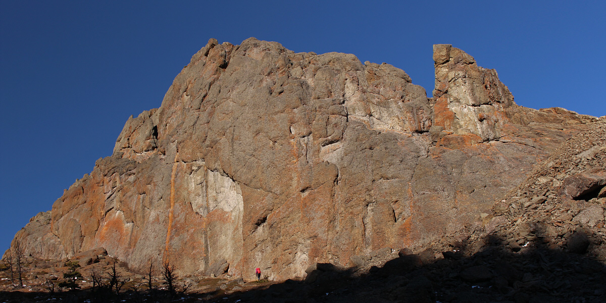
The summit of Corral Mountain looks like a sharp pinnacle from this angle. |
 |
While Peter looks over the edge of the summit, Andrea wanders over to a lower pinnacle. |
 |
Peter, Zosia, Sonny and Andrea sit on the summit of Corral Mountain (1902 metres). This is Zosia's second time up here. |
 |
To the south, Cutline Ridge is visible immediately beyond the lower pinnacle. |
 |
Mount Burke (left) is the most recognizable land feature to the northwest. |
 |
The group descends into Corral Creek valley from the east summit of Corral Mountain. |
 |
The hike back to the starting point is straightforward but long. |
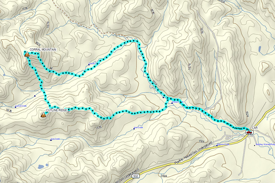 |
Total
Distance: 18.4 kilometres Round-Trip Time: 8 hours 8 minutes Cumulative Elevation Gain: 966 metres |