BOU AVENUE
Flood Mountain
Wrapping up the year in Grande Cache,
Alberta, Zosia Zgolak and I completed a ski ascent of Flood Mountain on
31 December 2020. As described in the Grande Cache & Area Hiking
& Adventure Map
brochure, Flood Mountain's ascent route--mostly an old exploration
road--is part of the Canadian Death Race which is held annually here on
the August long weekend. Although we were unsure if we could even
ski up Flood Mountain, we were encouraged to make an attempt given some
fresh overnight snowfall over the area.
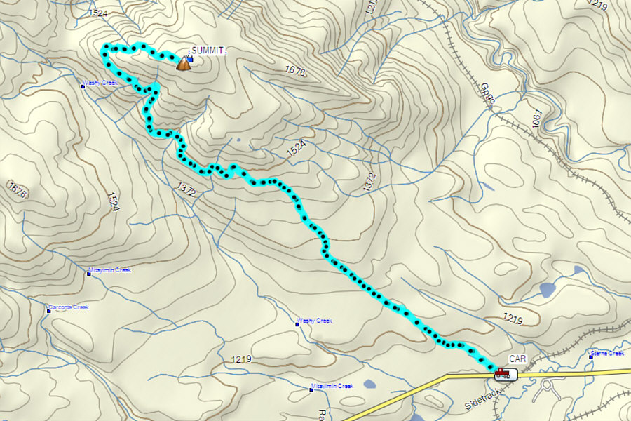
Turn north onto a logging road from Highway
40 about 127 kilometres west of the junction with Highway 16 or 11
kilometres east of Grande Cache. Park in a large pullout
immediately to the right.
Although I probably could have driven an
additional two kilometres up the logging road, Zosia and I were a bit
leery about venturing onto snowy back roads after our
ordeal a few days
earlier trying to approach Mount Hamell. Instead, we started skiing
from the pullout near the highway, and fortunately, there was enough snow
coverage to make this feasible. The logging road forks about 1.5
kilometres from the start, and after some trial and error, we determined
that the left fork is the correct one for approaching Flood Mountain.
About 500 metres past the fork, we reached a signed turnoff to a narrower
exploration road. Lots of rocks were protruding above the thin snow
at the start of the exploration road, but after tiptoeing past this
section, we found better coverage beyond. We soon settled into a
comfortable but somewhat dull plod up the lengthy road which is mostly
forested with very little in the way of views. There are a few
annoying elevation losses along the road, and already in the back of our
minds, we knew that we would be re-applying our climbing skins at some
point on the way out. Roughly five kilometres from the turnoff, we
reached a signed four-way junction. While the right fork is a more
direct but steeper route to the summit, we instead continued straight
along the road which climbs more gently up the mountain's west ridge.
Although snow coverage was thin again near the top, we still managed to
ski all the way up to the summit which is adorned with the now-familiar
mailbox that is part of the
Passport to the Peaks
program.
Exposed to a chilly wind, Zosia and I
stayed on the summit for only twenty-five minutes before commencing our
descent. Although we removed our climbing skins, we continued to
free-heel ski--essentially telemarking in our AT gear--since there are so
many flat spots along the road. Consequently, the descent of some
steeper sections were a little hairy, but fortunately, we had plenty of
powder to snow plow on when we really needed it. As expected, we
had to re-apply our skins for about a 1.5-kilometre stretch on the way
out, and the extra elevation gain was both annoying and wearisome.
The skiing became more enjoyable once we removed our skins for good, and
other than walking the short rocky section before regaining the logging
road, the remaining ski back to our starting point was generally
problem-free.
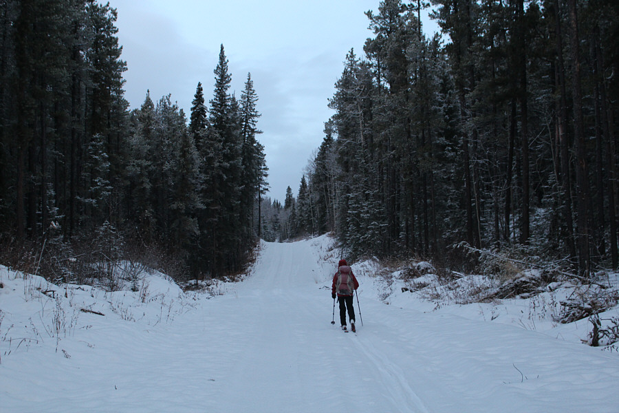 |
Zosia skis along a logging road on the approach to Flood Mountain. |
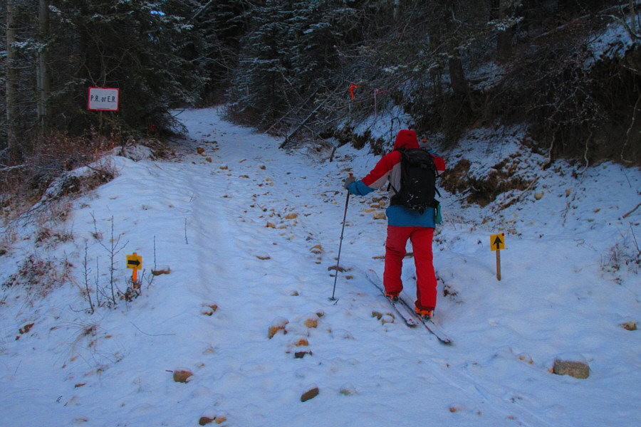 |
Snow coverage is rather thin at this signed turnoff onto an exploration road.
Photo courtesy of Zosia Zgolak |
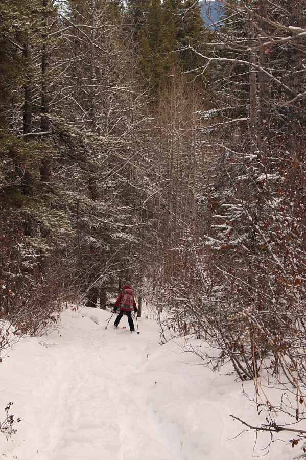
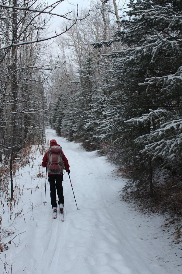 |
Much of the exploration road going up Flood Mountain is like this. |
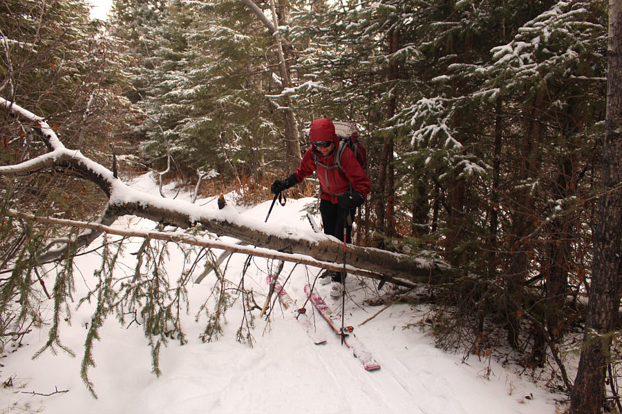
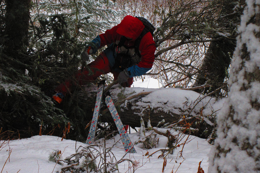 |
Sonny has some trouble climbing over a downed tree blocking the road.
Photo courtesy of Zosia Zgolak |
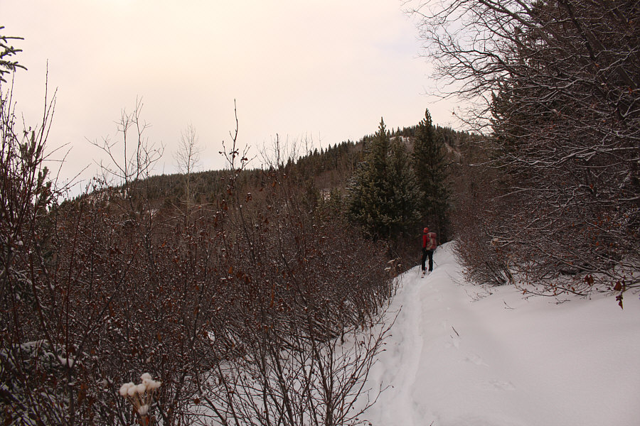 |
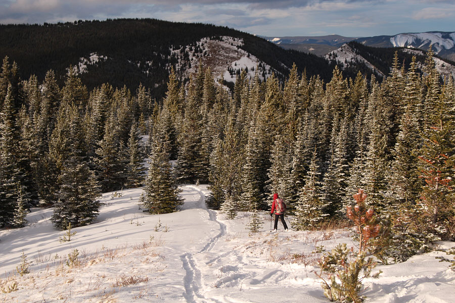
The upper parts of Flood Mountain come
into view. |
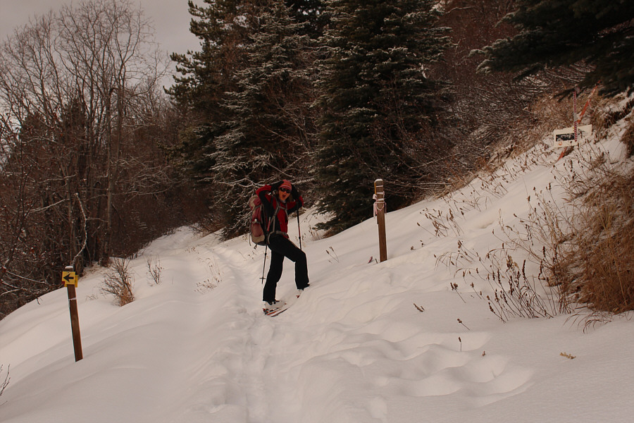 |
At a four-way junction, the right fork is the more direct but steeper
hiking trail to the summit while the left fork is the connector trail to
Grande Mountain. Zosia would stay on the road and go straight. |
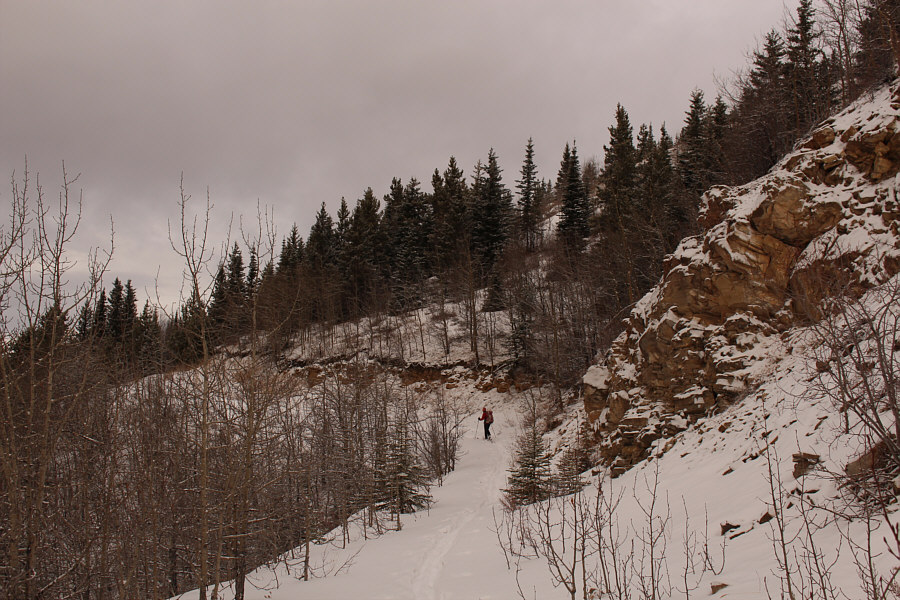 |
The road continues past some minor cliff bands. |
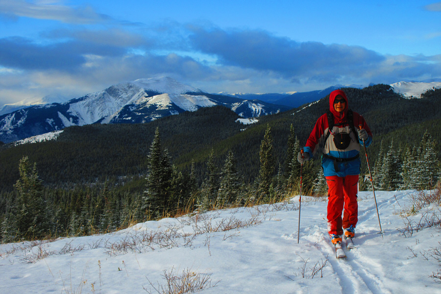 |
Views of Mount Hamell open up behind Sonny as he emerges from the forest.
Photo courtesy of Zosia Zgolak |
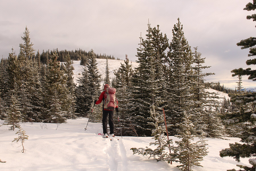 |
The top of Flood Mountain comes into view. |
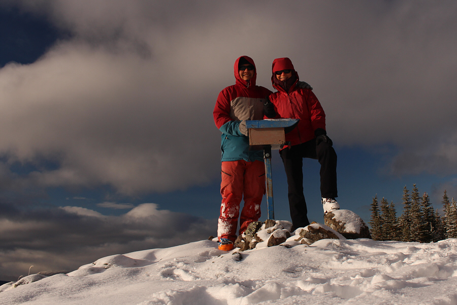 |
Sonny and Zosia stand on the summit of Flood Mountain (1826 metres). |
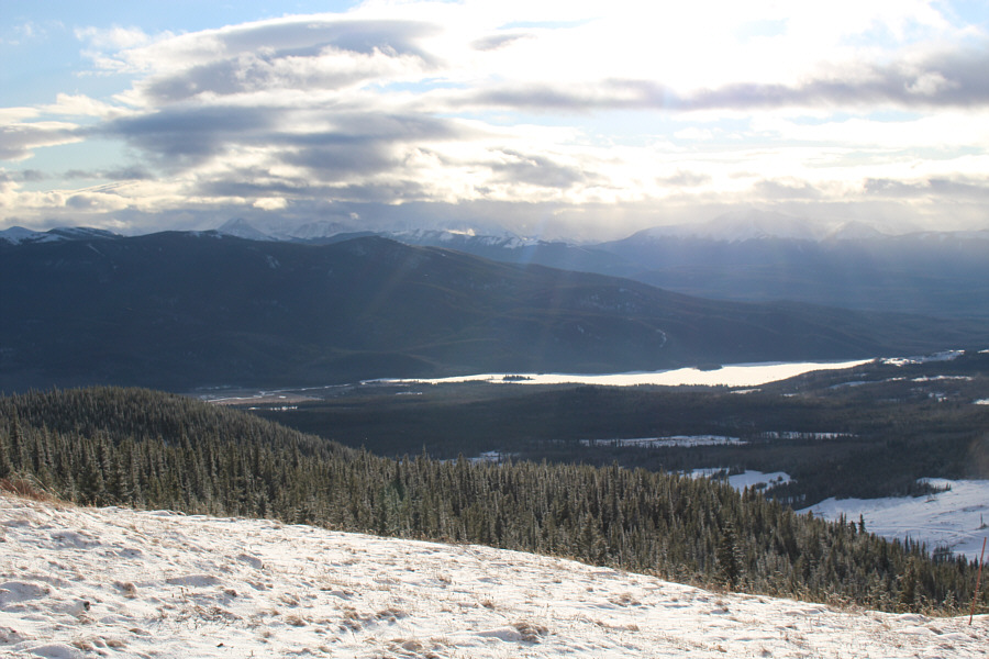 |
Mount Louie (left
of centre) and Grande Cache Lake are visible to the south. |
 |
To the southwest is
Grande Mountain. |
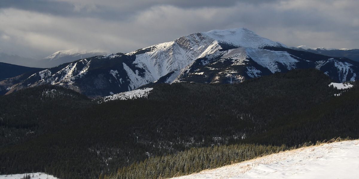
Here is a closer look at Mount Hamell to the west.


