



 |
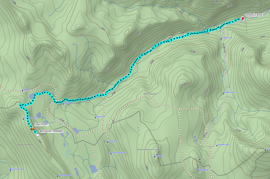
Marta, Zosia and Kerry ski along the uninspiring Healy Creek trail. |
 |
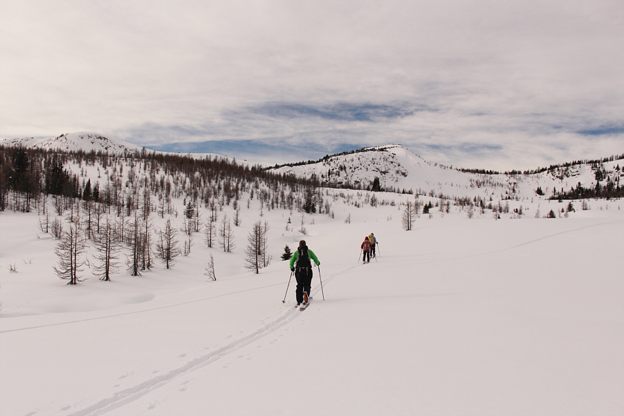
Breaking out of the forest, the group makes fresh tracks and aims to climb over the sparsely-treed ridge at left. |
 |
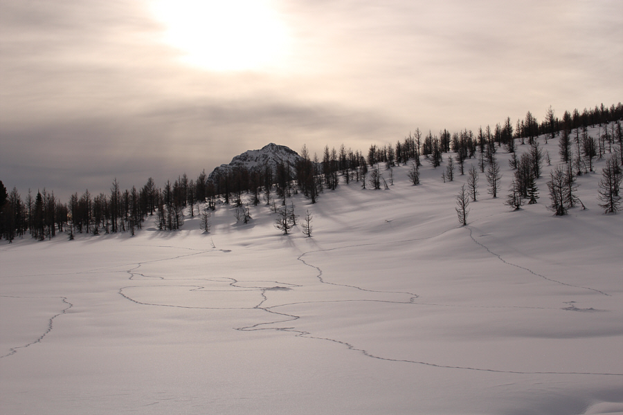
There are numerous animal tracks and burrows in this area. |
 |
The group reaches the base of Monarch Ramparts. They will ascend the slope on the right. Note the rabbit tracks in the foreground. |
 |
The climb to the crest of Monarch Ramparts is relatively gentle. |
 |
The group gains the crest of Monarch Ramparts. |
 |
The group follows the crest of Monarch Ramparts southward to the high point which is on the rounded ridge at right in front of The Monarch. The top of Mount Assiniboine barely peeks above the same ridge. |
 |
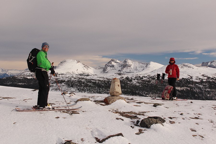
Located about 300 metres south of the high point of Monarch Ramparts, this marker is the apex of the boundaries for Banff National Park, Kootenay National Park, and Mount Assiniboine Provincial Park. |
 |
Sonny, Zosia, Kerry and Marta stand near the high point of Monarch Ramparts (2418 metres). |
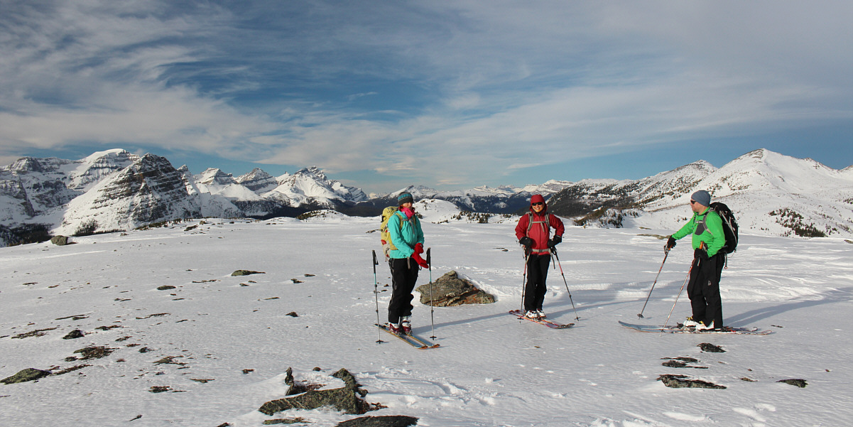
The view to the north includes such recognizable mountains as Mount Ball (far left), the highest of the Pharaoh Peaks (in front of Mount Ball), Storm Mountain (left of Marta), and Healy Pass Peak (far right).
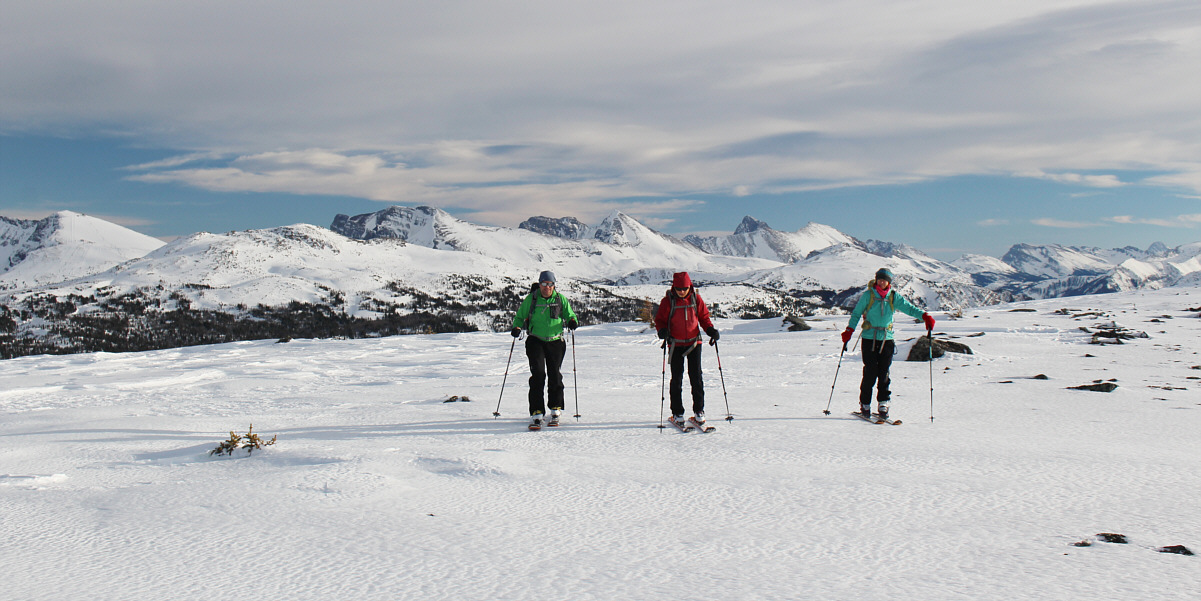
Brewster Rock (far left), Twin Cairns (left), Fatigue Mountain (centre), Nasswald Peak (right of centre), Golden Mountain (right), and Mount Sir Douglas (far right) are the most notable peaks across the southeast horizon.
 |
The group backtracks along the crest of Monarch Ramparts. |
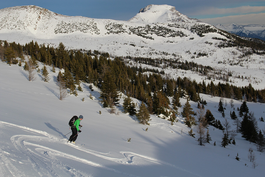 |
Kerry enjoys some nice turns as he descends from the crest of Monarch Ramparts. |
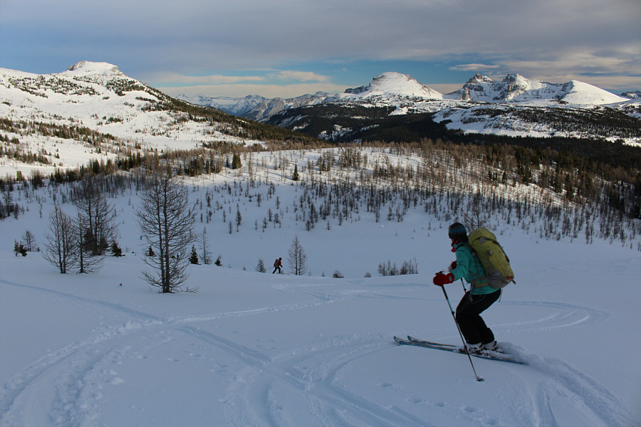 |
Marta follows Zosia down the slope that they ascended earlier. |
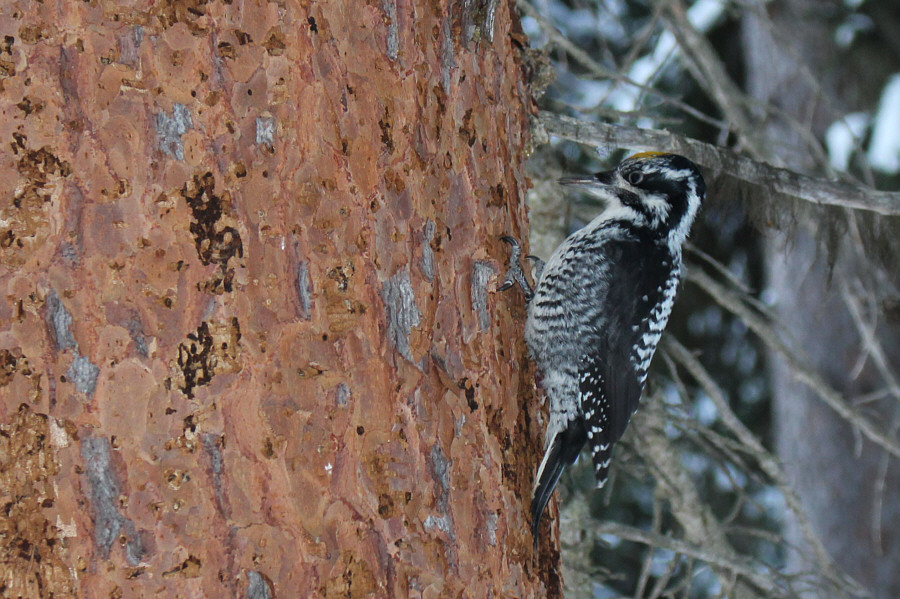 |
This American three-toed woodpecker has been extremely busy stripping the bark off several trees on the side of Healy Creek trail. |
 |
Total
Distance: 21.7 kilometres Round-Trip Time: 8 hours Net Elevation Gain: 753 metres |