
The group crosses a bridge over Kananaskis River not far from the trailhead.
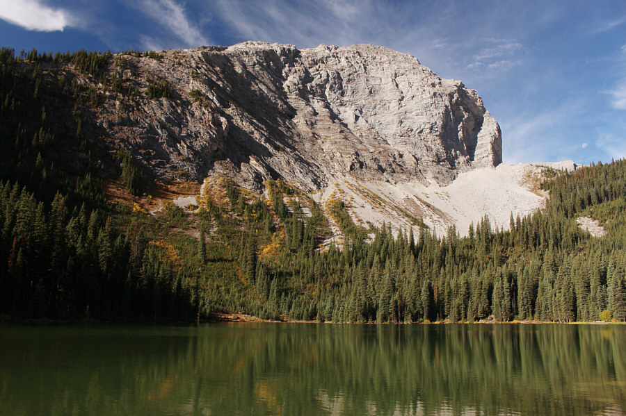
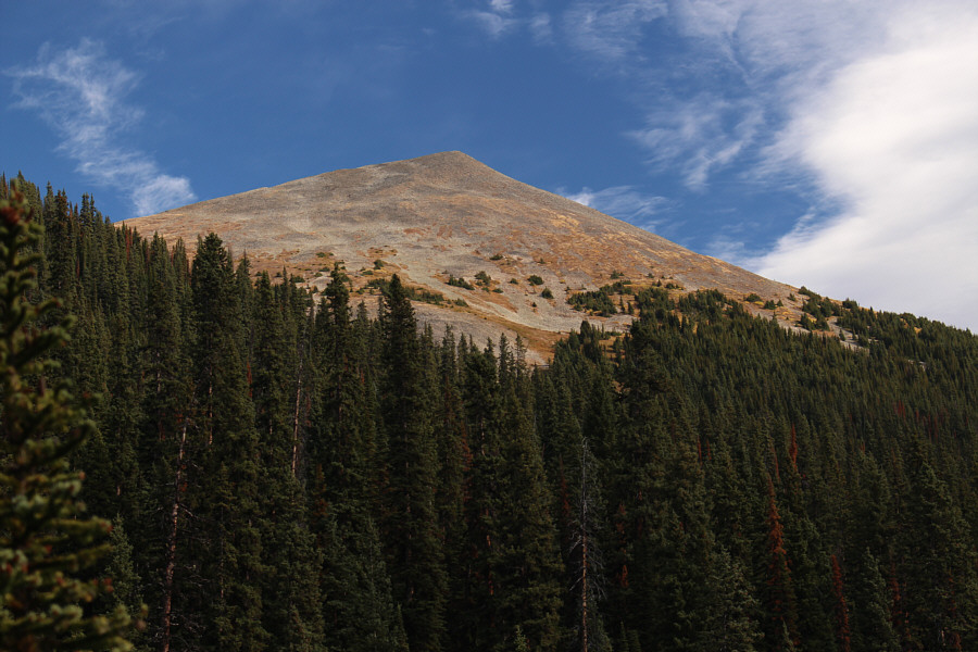
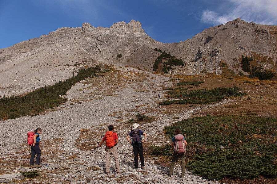

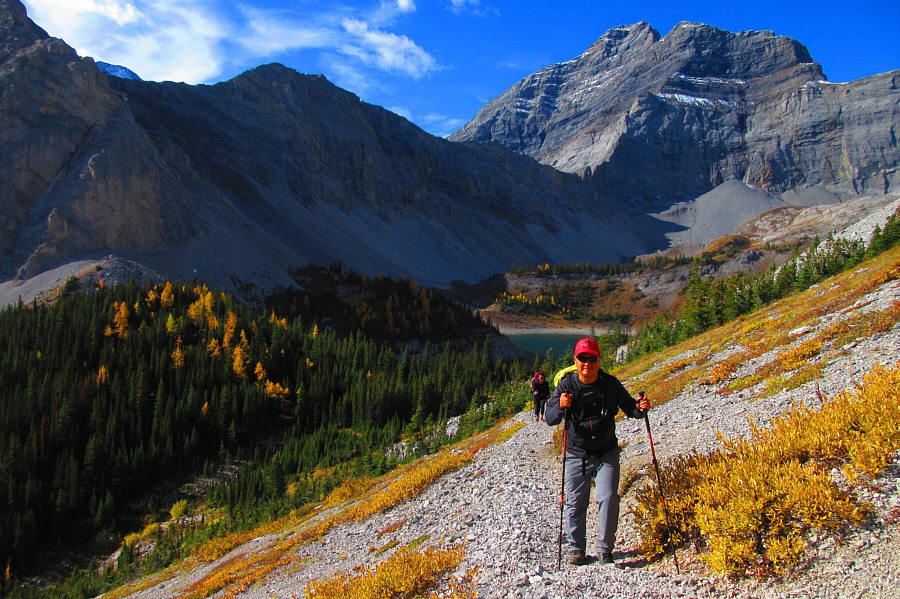
Photo courtesy of Zosia Zgolak


|
|
The group crosses a bridge over Kananaskis River not far from the trailhead. |
|
|
This is Lillian Lake. |
|
|
Here is the first glimpse of Guinn's Peak from the trail between Lillian Lake and Galatea Lakes. |
|
|
The newly-constructed trail to Guinn's Pass branches off from the trail to Galatea Lakes at this point. |
|
|
Zosia hikes the trail to Guinn's Pass which is not yet visible from here. |
|
|
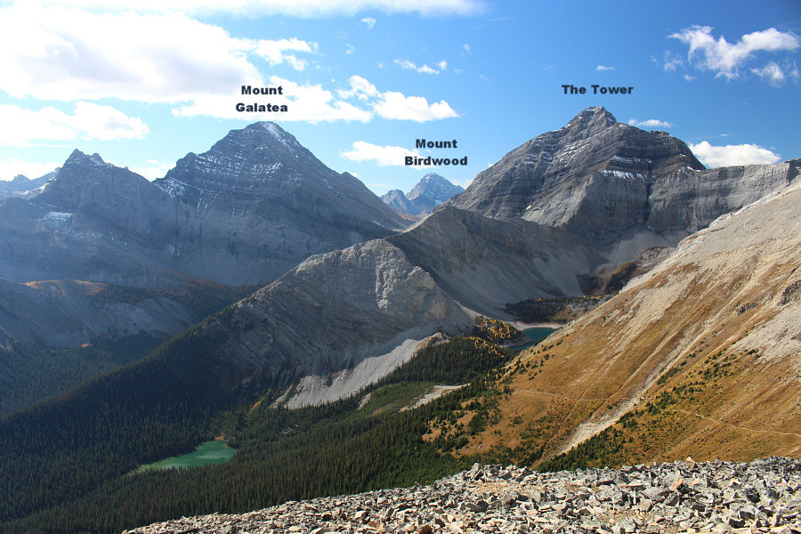
The lower of the two Galatea Lakes can
be seen behind Sonny as he climbs the trail to Guinn's Pass.
Also in the background is
The Tower. Photo courtesy of Zosia Zgolak |
|
|
The group approaches Guinn's Pass at centre. At far right is Guinn's Peak. |
|
|
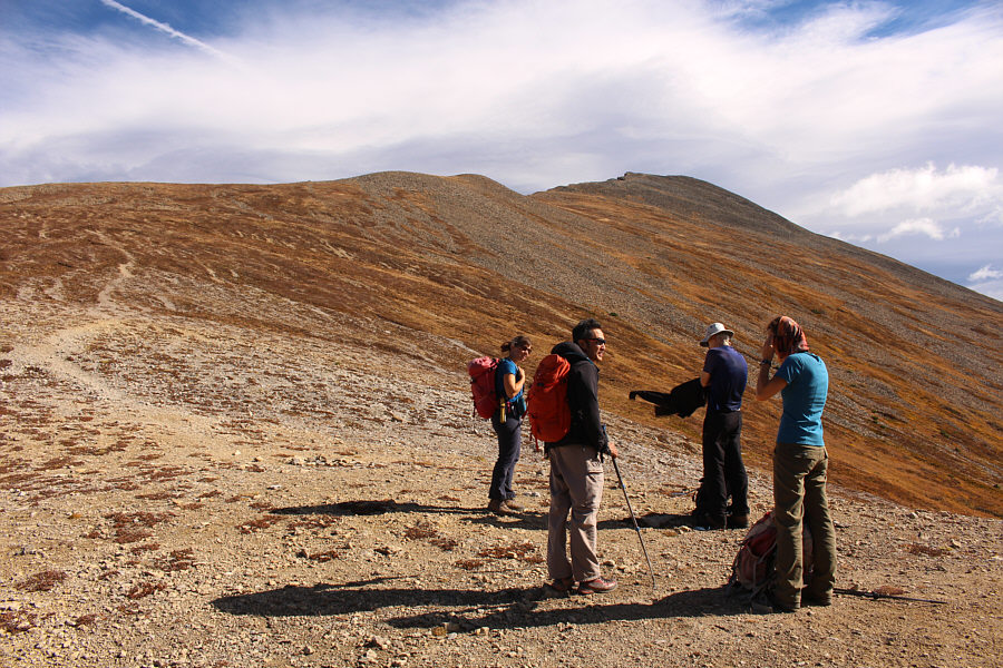
The group makes a brief pause at Guinn's Pass before pushing on up the peak. |
|
|
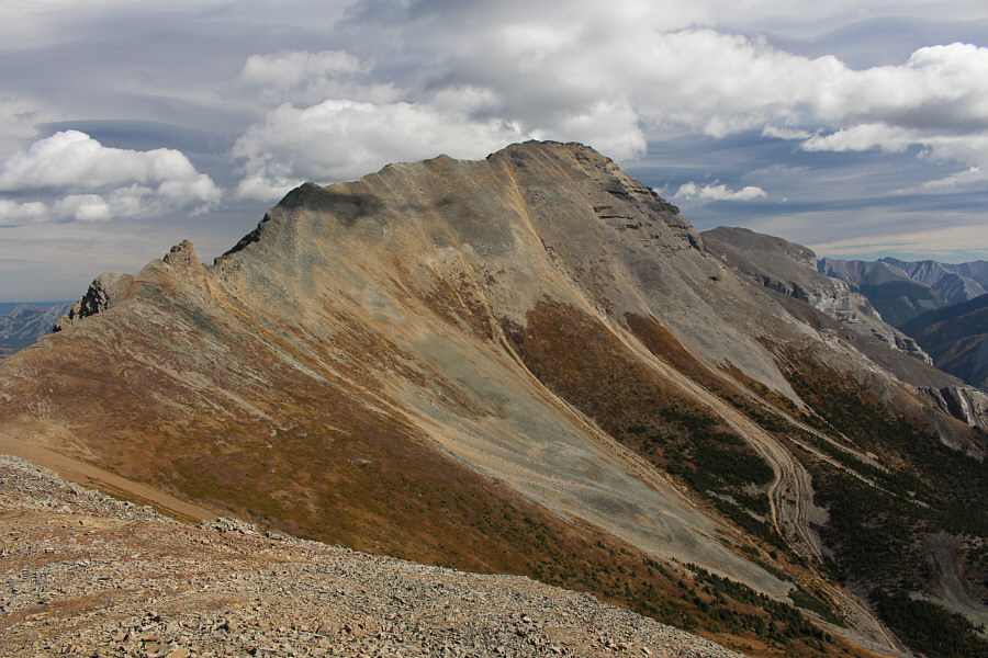
The unnamed peak (Gillean Daffern calls it "Peak 217373") west of Guinn's Pass has an impressive north face. |
|
|
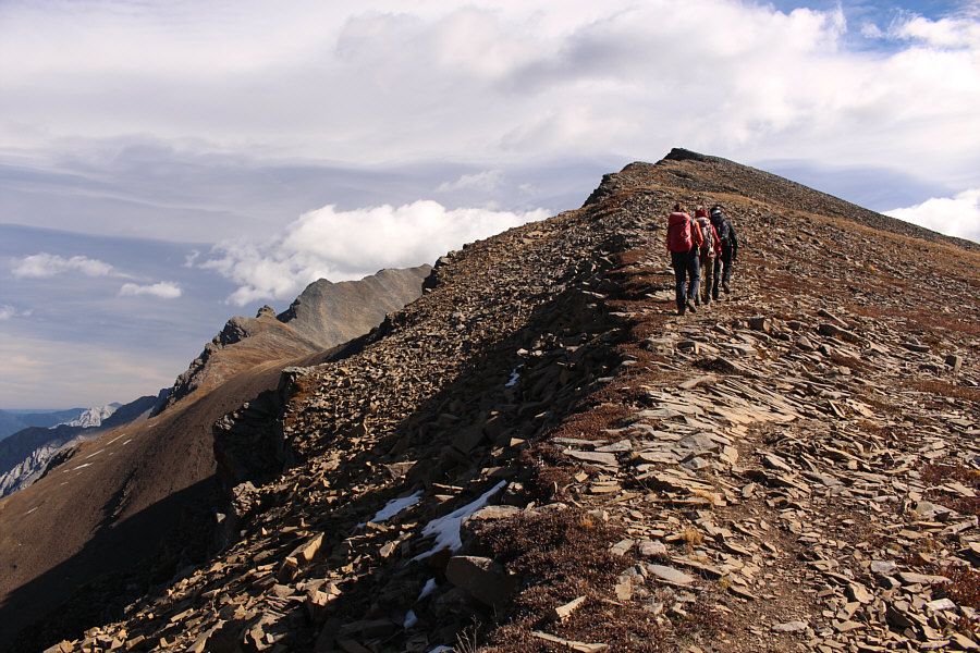
The group ascends the easy west ridge of Guinn's Peak. |
|
|
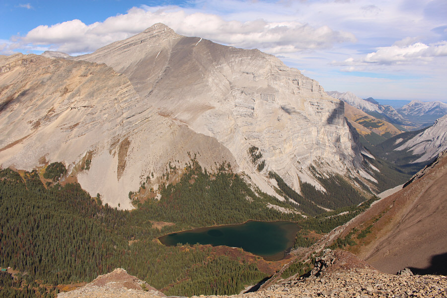
Lillian Lake (lower left) and the Galatea Lakes (the upper lake is barely discernible) are visible to the southwest in this view from the summit. |
|
|
The basin to the northwest invites further exploration. |
|
|
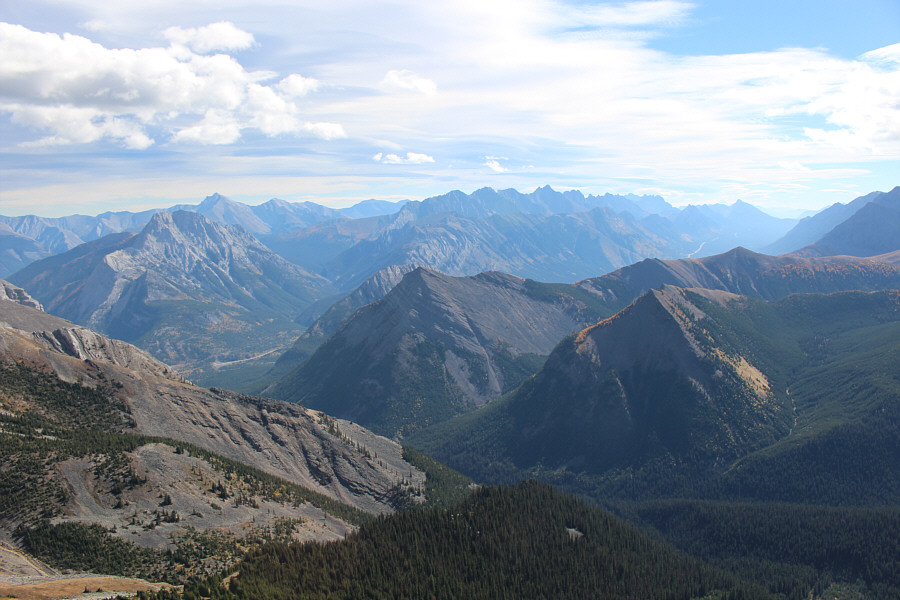
Mount Kidd South Peak dominates the view to the east. |
|
|
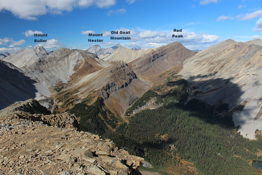
The jagged peaks of the Opal Range stand out on the southeast horizon. |
|
|
Bob, Shaun, Andrea, Zosia and Sonny stand on the summit of Guinn's Peak (2618 metres). |

Here is a more comprehensive view of Peak 217373 above Guinn's Pass.
 |
To the north, Mount Bogart stands above Ribbon Lake. |
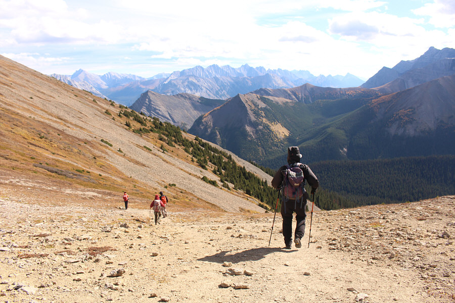 |
The group descends from Guinn's Pass on the hike out. |
 |
Total
Distance: 19.6 kilometres Round-Trip Time: 7 hours 47 minutes Net Elevation Gain: 1091 metres |