
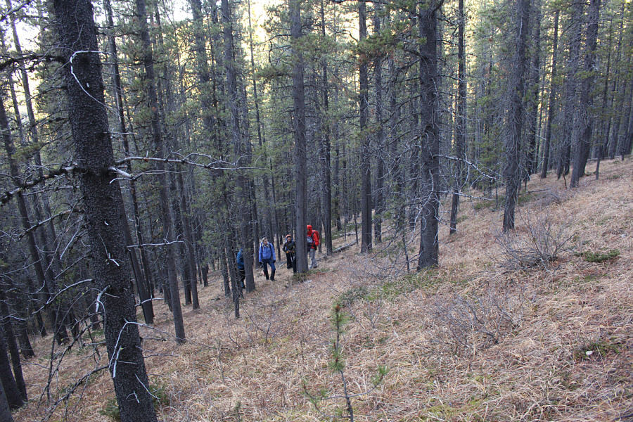
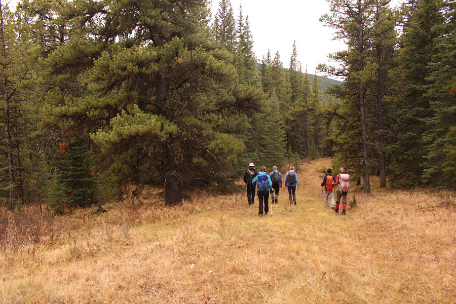
Shaun, Zosia and Aga begin hiking eastward along the Canyon Creek exploration road.
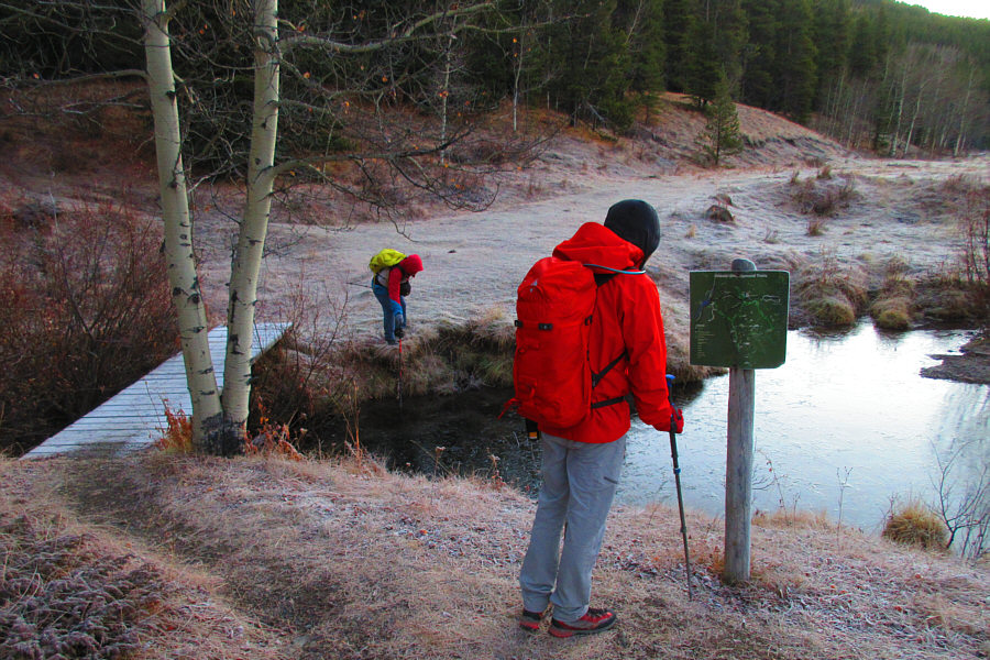
Photo courtesy of Zosia Zgolak
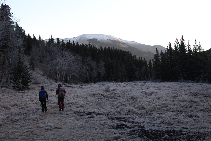
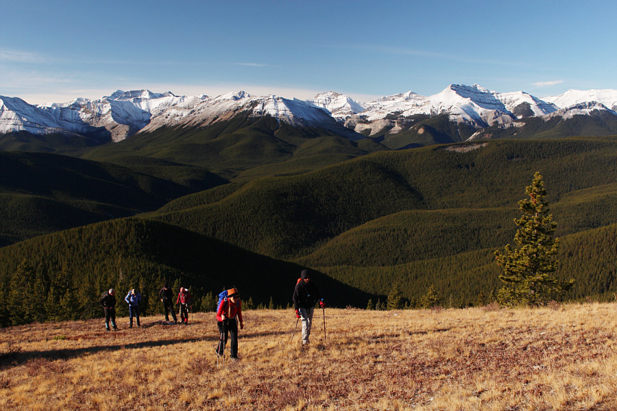
Aga and Zosia take the road to the left which climbs away from Canyon Creek. In the background is the South Peak of Moose Mountain.

|
|
Shaun, Zosia and Aga begin hiking eastward along the Canyon Creek exploration road. |
|
|
Shaun checks the map at the junction
with the trail to Jumpingpound Mountain (going left) while Sonny
tests the thickness of the ice on the surface of the pond. Photo courtesy of Zosia Zgolak |
|
|
Aga and Zosia take the road to the left which climbs away from Canyon Creek. In the background is the South Peak of Moose Mountain. |
|
|
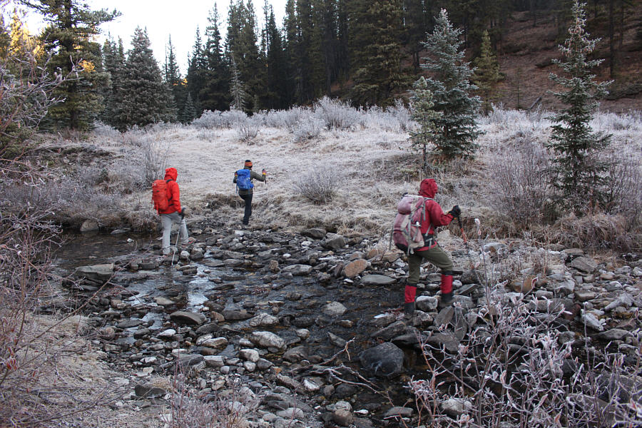
Shaun, Aga and Zosia rock-hop across Moose Mountain Creek. |
|
|
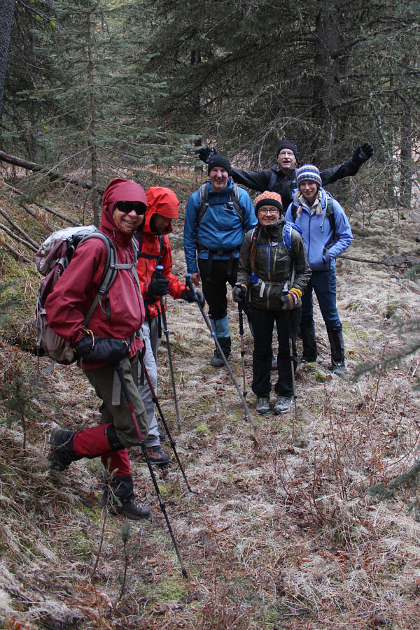
The group has grown in size with the late addition of (at the back) Jeff, Bob and Naomi. |
|
|
The group climbs up through light forest to gain the southwest ridge of Moose Mountain's West Peak. |
|
|
The group breaks out of the trees on the southwest ridge. On the right horizon is Mount Bryant. |
|
|
A fresh dusting of snow covers the ground near the last trees. |
|
|
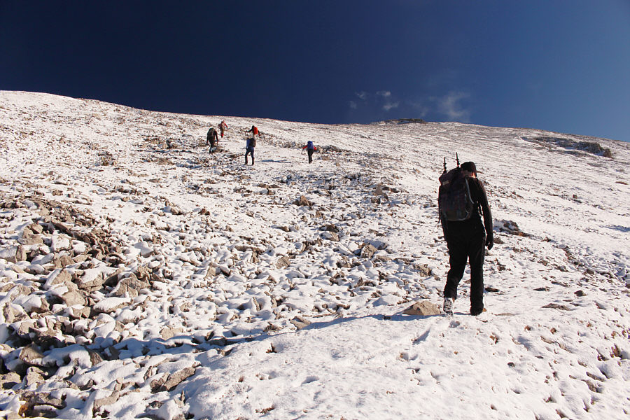
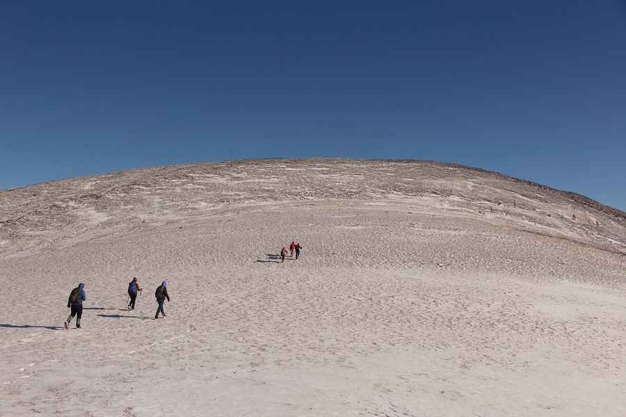
The group grinds up easy rubble slopes. |
|
|
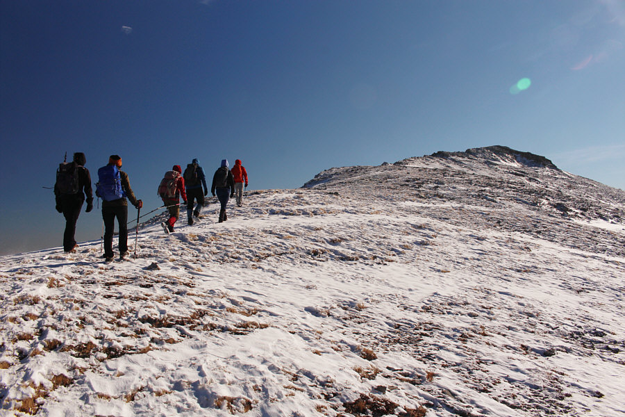
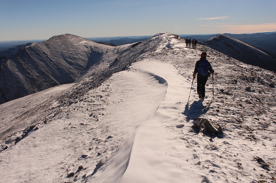
The group follows the ridge to the top of Moose Mountain's West Peak. |
|
|
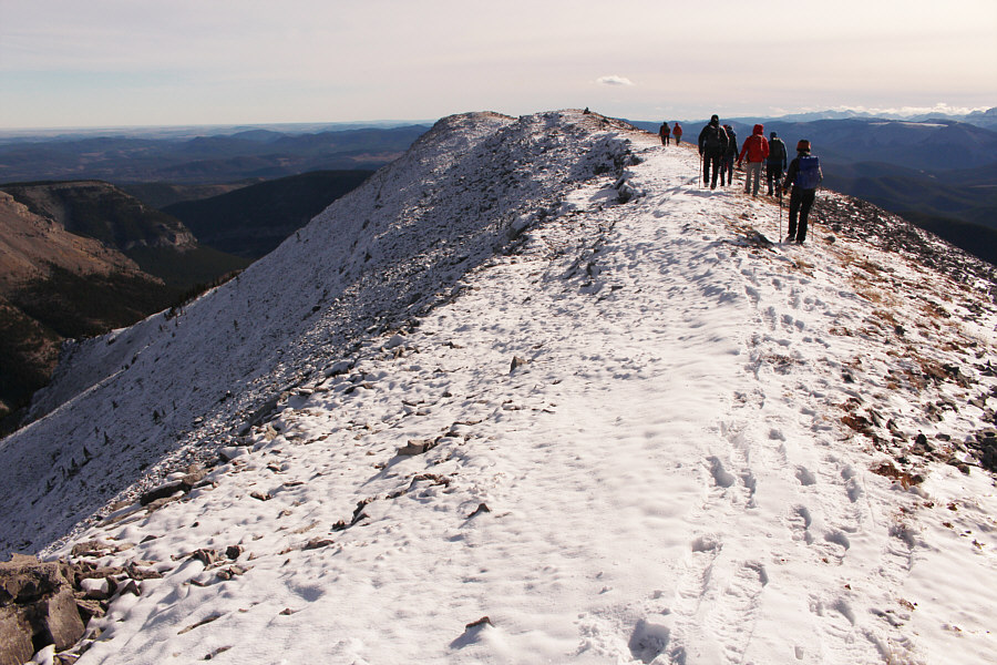
The group traverses to the southeast end (right of centre) of the West Peak's long summit ridge. The northwest end is the actual summit (2323 metres) while the southeast end is marginally lower by about a metre. The Centre and South Peaks of Moose Mountain are also visible, respectively, to the left and right. |
|
|
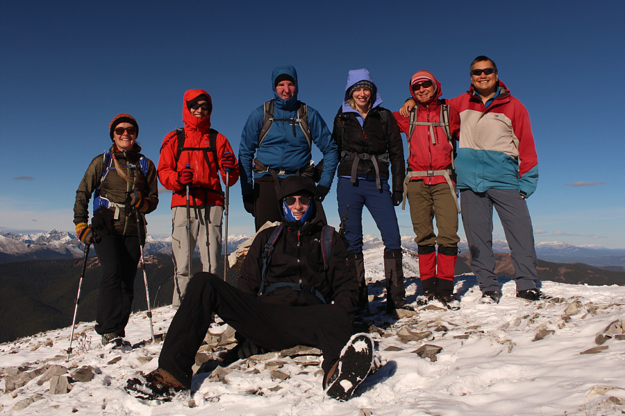
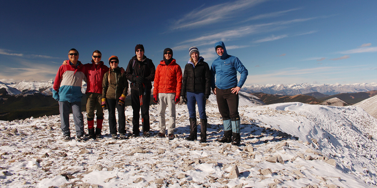
Standing behind sitting Bob and the cairn at the southeast end of the West Peak's summit ridge are (L to R) Aga, Shaun, Jeff, Naomi, Zosia and Sonny. |
 |
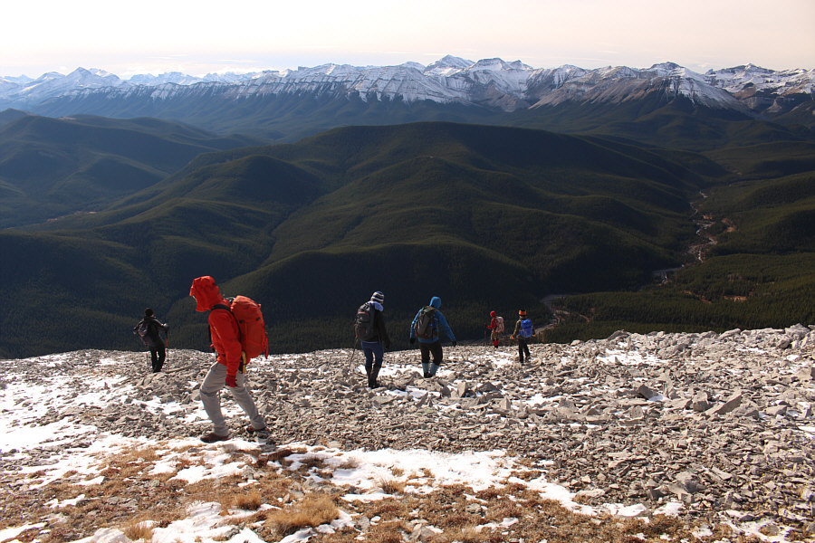
Jeff, Aga, Naomi (barely visible behind Aga) and Bob carefully descend a steep rubble slope on the east side of the West Peak. In the background are the North Peak (left) and the main summit of Moose Mountain. |
 |
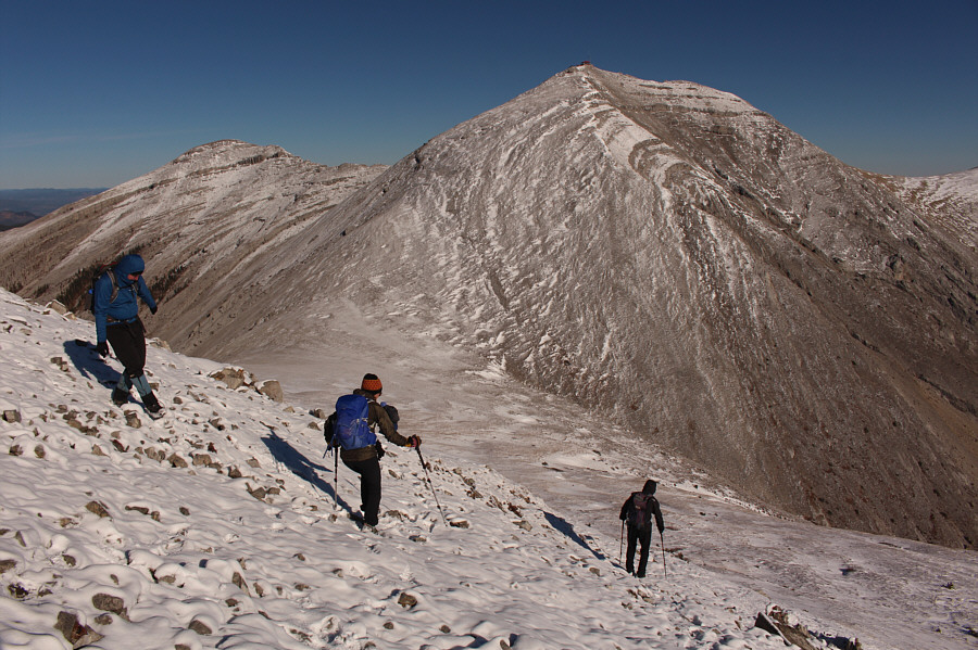
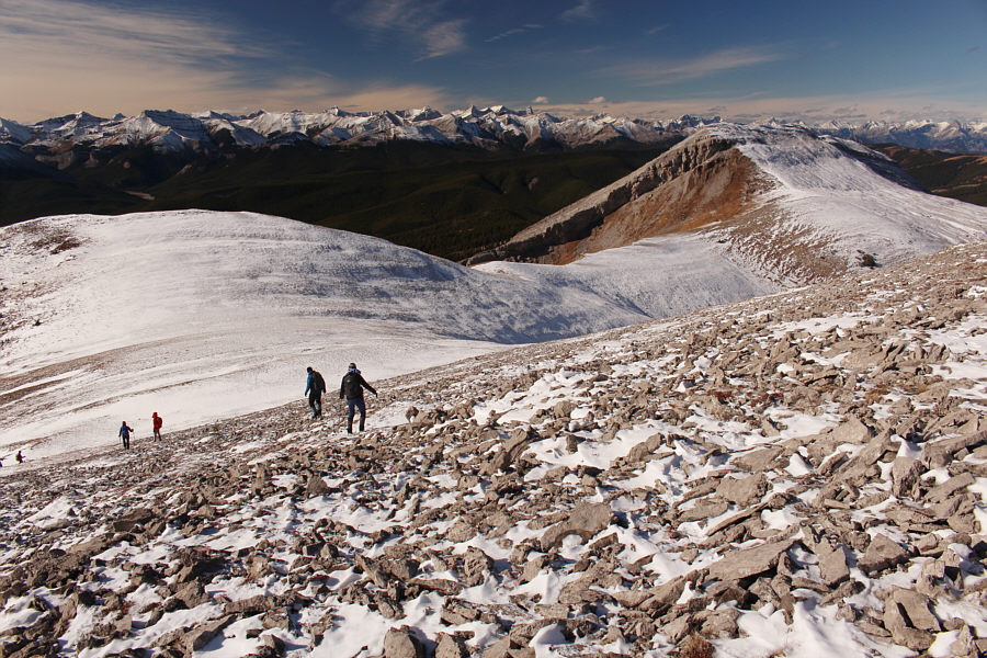
The steep rubble gives way to easier terrain below. The Centre Peak and the bump (far right) that Gillean Daffern refers to as "the hub" can be seen in the background. |
 |
Precipitous cliffs of the West Peak are revealed as the group hikes southward. Note the herd of mountain goats grazing on the grassy slopes below the cliffs. |
 |
The group heads up easy slopes to the top of the Centre Peak. |
Sonny, Zosia, Aga, Bob, Shaun, Naomi and Jeff stand atop the Centre Peak (2322 metres).
After lunch, our group returned to the hub before turning southward to follow the delightful connecting ridge to the South Peak. Some easy scrambling is required to surmount a couple of rock bands along this ridge, but nobody had any problems here. At the top of the South Peak, we were passed by a faster party of three consisting of a familiar Facebook acquaintance, Geoff Hardy, and his partners, Lito Ochotorena and Jean-François Richy. They were finishing up a similar but even longer loop hike which also included Jumpingpound Mountain, the northern peaks of Moose Mountain, and the main summit itself. While these three quickly disappeared down the southwest slopes of the South Peak, we followed them partway down but eventually steered more to the west to follow the edge of an escarpment along the drainage separating the West and South Peaks. Lower down, we re-entered light forest and ultimately crossed to the other side of the drainage before working our way across some grassy meadows to intersect the same road we had followed across Moose Mountain Creek. We soon passed the spot where we had originally left the road, and the rest of our hike back to the trailhead was nice and uneventful.
 |
Leaving the top of the Centre Peak, the group heads back to the hub at far left. At right is the West Peak. |
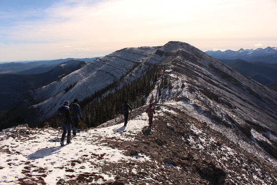 |
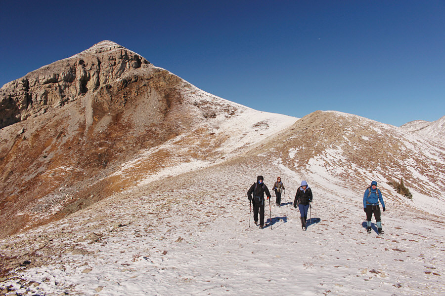
The connecting ridge to the South Peak looks a bit daunting. |
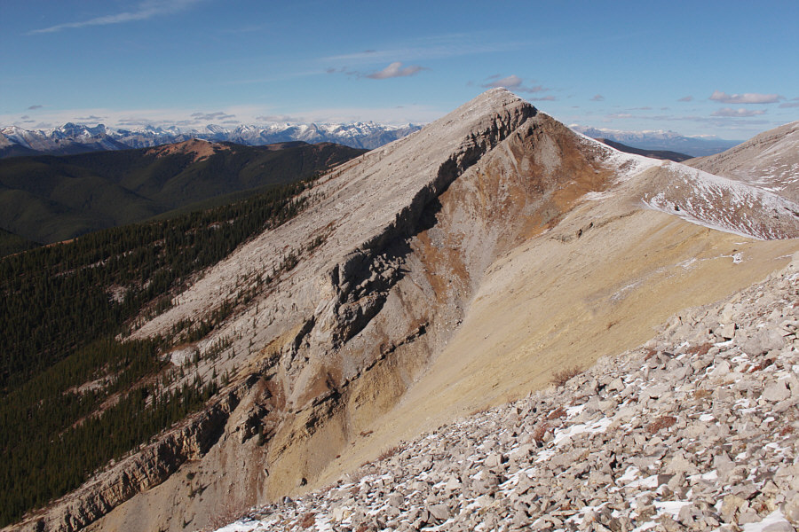 |
Here is a more comprehensive view of the West Peak. |
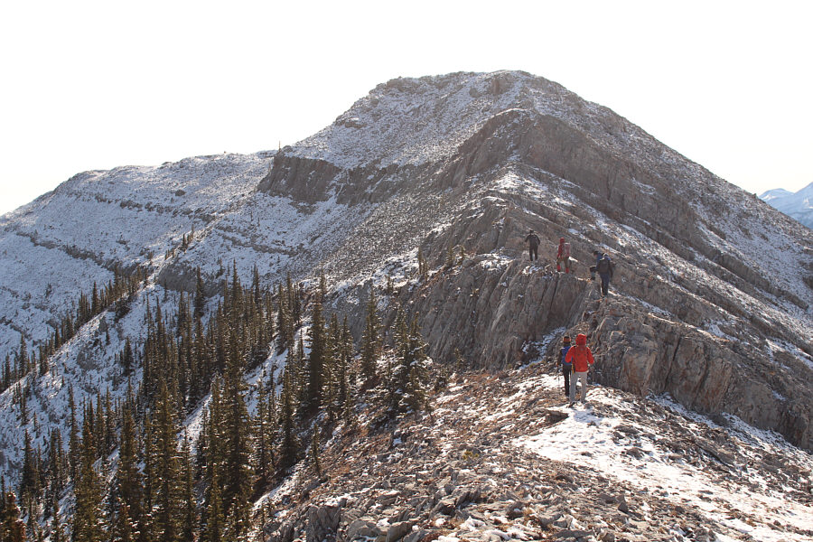 |
Despite appearances, the rock bands guarding the ridge do not pose any significant challenges to the group. |
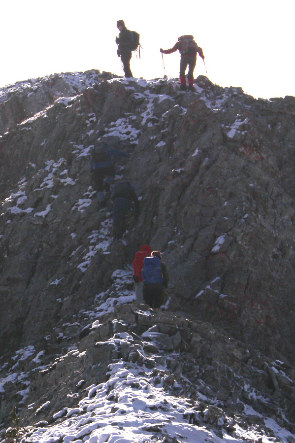 |
The group scrambles up the last and biggest rock band guarding the ridge. |
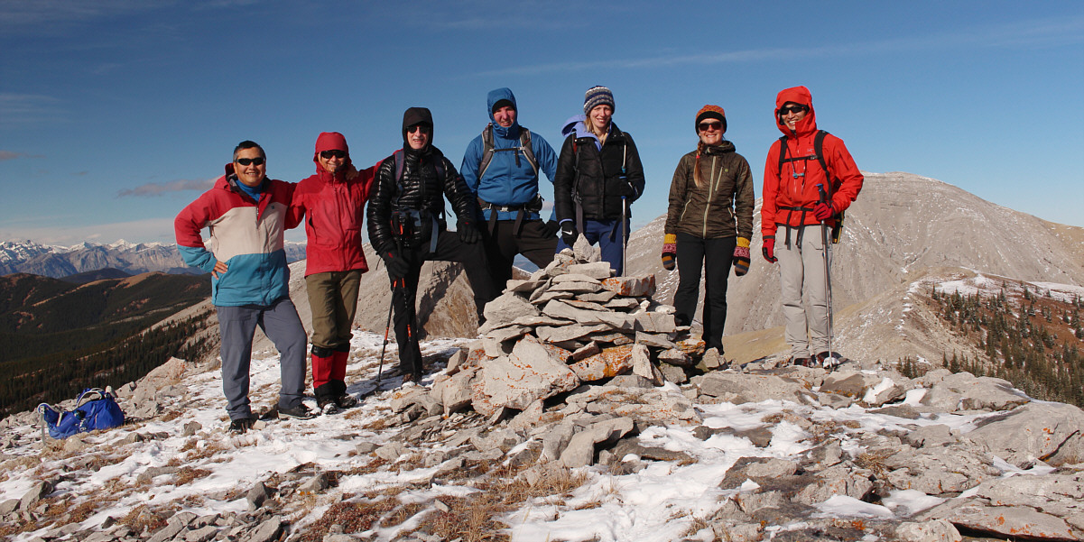
Standing beside the cairn on the South Peak (2302 metres) are (L to R) Sonny, Zosia, Bob, Jeff, Naomi, Aga and Shaun.
 |
The group follows a trio of hikers led by Geoff Hardy to the far end of the South Peak's summit ridge. |

Here is a last look at the various peaks of Moose Mountain from the end of the South Peak's summit ridge.
 |
The group descends the west slopes of the South Peak. |
 |
Naomi, Jeff and Zosia drop down along the edge of an escarpment as they aim for the glades at centre. |
 |
The group regains the road that they originally abandoned near the crossing of Moose Mountain Creek. |
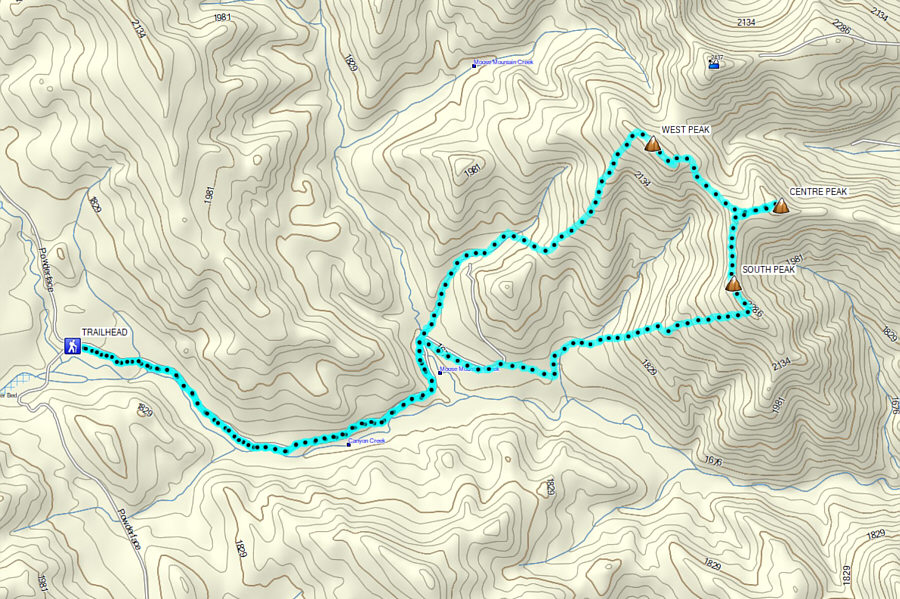 |
Total
Distance: 19.2 kilometres Round-Trip Time: 8 hours 35 minutes Cumulative Elevation Gain: 1064 metres |