BOU AVENUE
Running Rain Lake North Ridge
Exactly one year after Zosia Zgolak and I hiked up Running Rain Lake South Ridge in Alberta's Elbow-Sheep Wildland Provincial Park, we were invited to join Dinah Kruze and Bob Spirko for an ascent of the ridge on the opposite side of the valley on 26 September 2021.  Bob calls this Running Rain Lake North Ridge, and he had gotten the idea for the hike from the legendary Alf Skrastins who even provided GPS tracks.  Although Zosia and I had both already hiked with Bob earlier this spring, this would be our first hike with Dinah in nearly two years.

The unmarked trailhead is located along a wide, grassy strip on the west side of Highway 40, 27 kilometres south of the junction with Kananaskis Lakes Trail or 27 kilometres north of Highwood Junction.  Park anywhere on the grassy strip.

From where we parked, Dinah, Bob, Zosia and I dropped down a steep embankment to immediately ford Storm Creek.  While Dinah and Bob used hip waders, Zosia and I were able to rock-hop the creek without getting wet.  On the far side, we soon crossed a beaver dam before picking up the good trail leading to Running Rain Lake.  About one kilometre from the trailhead, we abandoned the trail to climb up the northeast end of the North Ridge.  The bushwhacking here was light, and we had relatively few problems reaching the first high point on the ridge.  From there, we headed southwest and dropped into a dip before climbing over a few minor high points.  Further up, a significant cliff band forced us to climber's left, but we regained the ridge crest by climbing up a steep grassy slope.  Ultimately, we got as far as the last high point along the ridge before its transition to steeper technical terrain on the big wall guarding the Continental Divide.  A lone larch tree marks this last high point, and we stopped here for a pleasant lunch break.

Upon finishing lunch, Dinah, Bob, Zosia and I dropped down inviting grassy slopes on the south side of the ridge.  Lower down, we passed several stands of larches before plunging into thick forest.  With the heavier bush here, navigating through the forest proved to be more challenging than expected, and although we stumbled onto a flagged route, it did not appear to be well-traveled.  With the help of some waypoints that Bob saved on his GPS unit, we managed to find our way down to the north end of Running Rain Lake, and we took another break shortly after regaining the main trail.  From there, the remaining hike back to Storm Creek and the trailhead was fairly quick and easy.

After Zosia and I said our farewells and drove off, Dinah and Bob noticed a conservation officer arriving at the trailhead to put up an area closure sign.  Apparently, a solo hiker was attacked by a grizzly bear earlier in the day just a little further north of where we were hiking.  Fortunately, the hiker survived, but the incident is a sobering reminder of the dangers that are ever present in our wilderness playground.

Be sure to check out Bob's trip report.
Waterproof boots would suffice on this day.

Bob, Dinah and Zosia ford Storm Creek at the start.

Not nearly as bad as North Kintla Creek! 
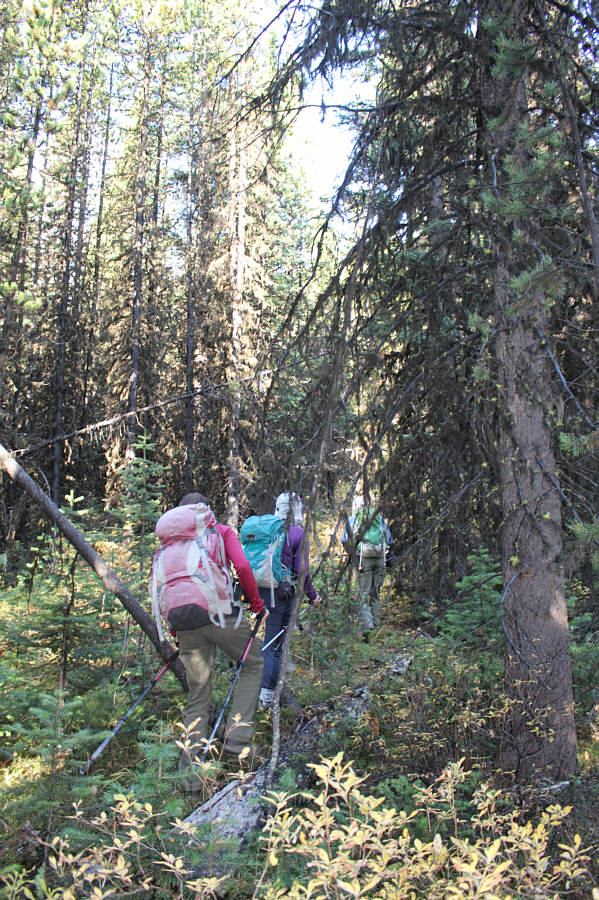
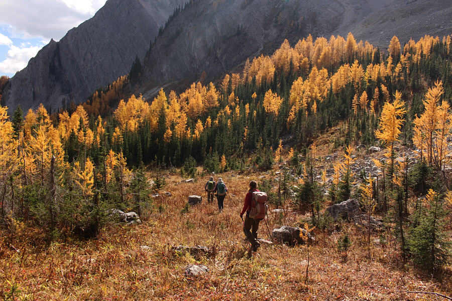
After leaving the trail, the group bushwhacks uphill.
Bunny ears! 
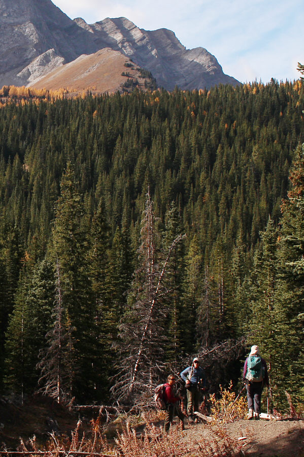
Sonny, Dinah and Bob reach the first high point at the northeast end of the ridge.

Photo courtesy of Zosia Zgolak

We weren't even sure how far up we would climb at this point. 
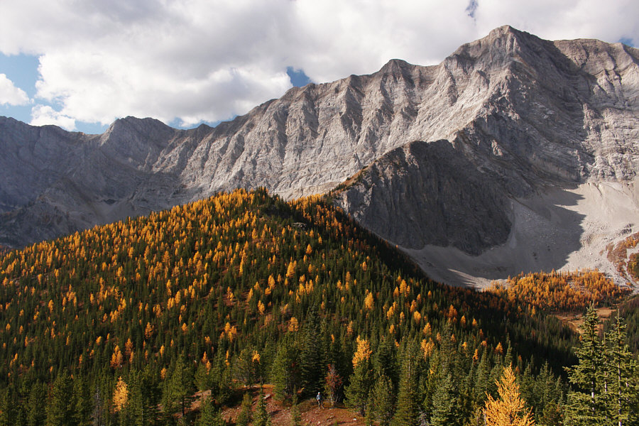
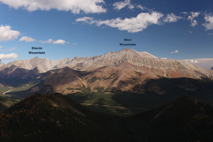
The ridge rises to the right and abuts the steep cliffs of the Continental Divide.
That's what we came to see! 
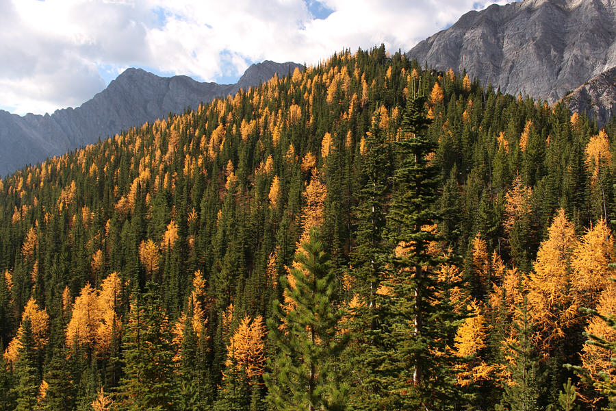
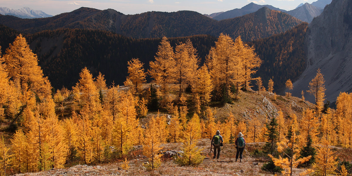
Larch trees stand out on the forested ridge.
Soft as a babies bottom? 
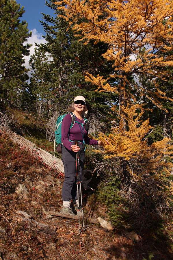
Dinah likes the feel of larch trees.
There's a hidden cliff band coming up... Zosia, Bob and Dinah work their way closer toward the open ridge at right.
Pretty easy route-finding here to avoid the cliffs. 
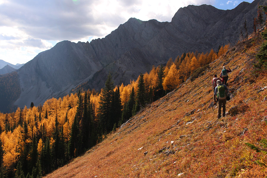
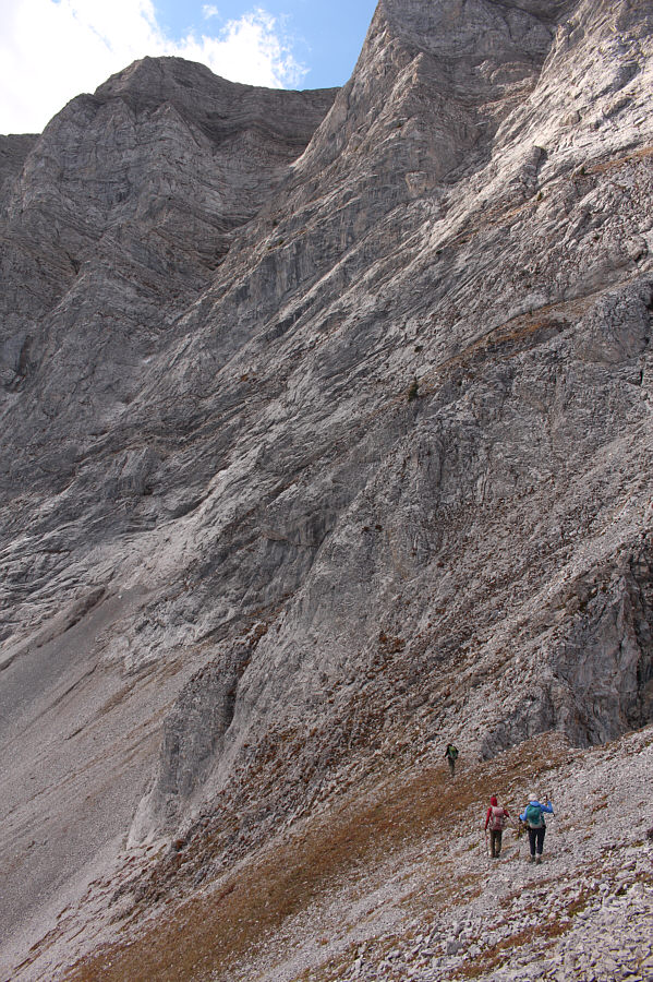
Zosia, Bob and Dinah traverse across an open slope to circumvent a cliff band guarding the ridge.

Hardly looks like a ridge from this vantage point!

This is looking back at the mostly forested northeast end of the ridge.  Dominating the background at upper left is Mist Mountain.


It's a good uphill grind! 
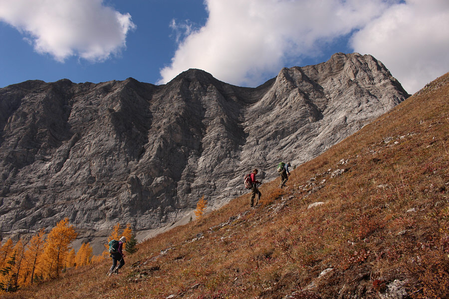
Dinah, Zosia and Bob climb up a steep grassy slope.
Not bad for a 63-year old grandma! Larch trees fill the background as Dinah grinds up the slope.
How far can we climb up? Dinah, Bob and Zosia regain the ridge crest higher up.
You could probably scramble a bit higher, but what's the point? 
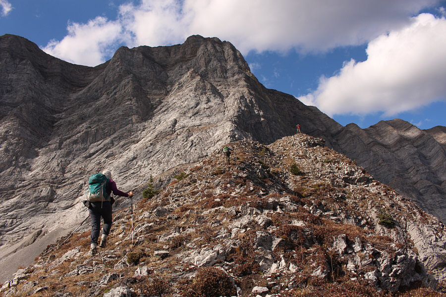
Bob and Dinah hike the last few metres before the high point of the day where Zosia is standing.
Feels rather airy up here! 
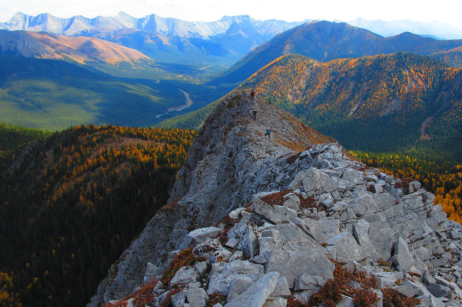
Sonny, Bob and Dinah come up the last part of the ridge in this view from the high point.

Photo courtesy of Zosia Zgolak

Bob is calling this a "summit"! Who am I to argue? Sonny, Zosia, Bob and Dinah take a well-deserved break on the high point of Running Rain Lake North Ridge (2429 metres).
The ridge at centre might be a good objective for the future... Here is the view to the north from the high point.
I still need to climb Mount Lipsett one of these days! This is looking northeast from the high point.
Don't worry, Dinah. We're not climbing any higher! Bob, Zosia and Dinah drop down to a col separating the high point from the steep cliffs of the Continental Divide.
Look at all them larches! Dinah and Bob descend grassy slopes on the south side of the ridge.

The best thing is that there is nobody else here!

Bob and Dinah hike between numerous larch trees.


If in doubt, go downhill! 
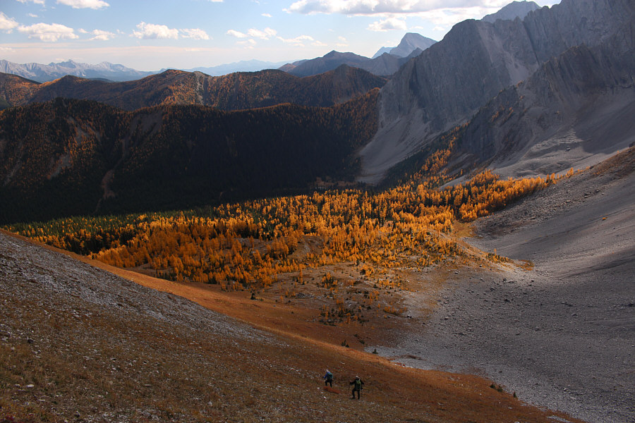
Getting down to Running Rain Lake from the ridge is not so straightforward.
Sorry, I didn't take a photo of the lake, but it's really nothing special anyway. 
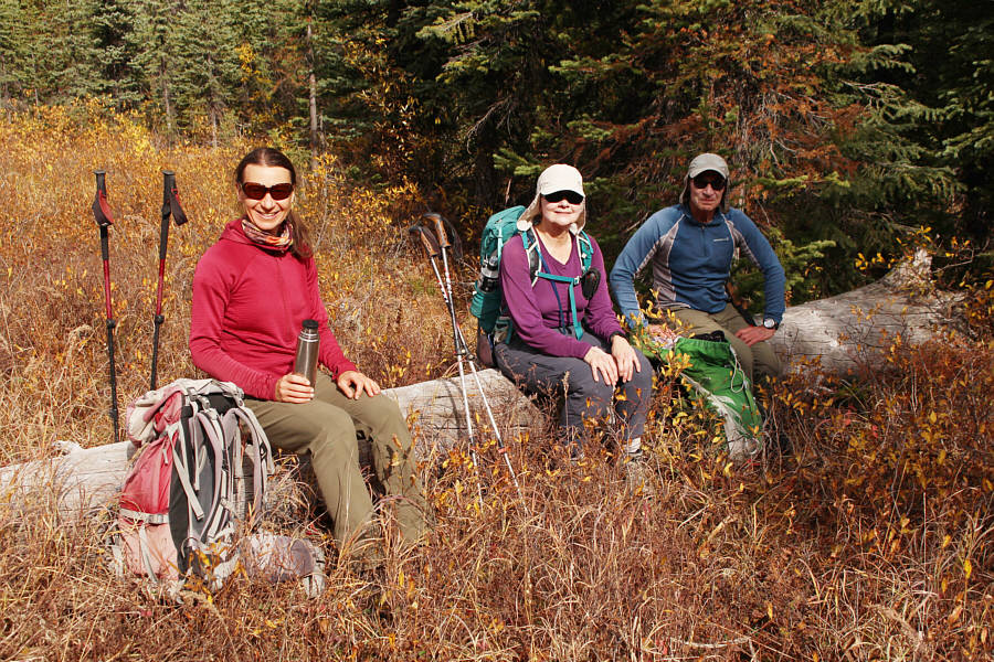
Zosia, Dinah and Bob take another break after regaining the main access trail for the lake.
Looks more like a real summit from this angle! At a clearing along the trail, the high point of Running Rain Lake North Ridge is visible in the distance.
Dinah is making it look harder than it really is! 
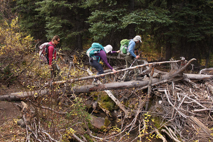
Zosia, Dinah and Bob cross a makeshift bridge over a creek.
Bob isn't even using his hip waders here! Dinah and Bob ford Storm Creek for a second time.
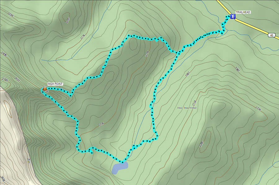
A real gem of a hike especially during larch season. Total Distance:  9.3 kilometres
Round-Trip Time:  6 hours 29 minutes
Net Elevation Gain:  537 metres

GPX Data