BOU AVENUE
Coyote Hills
Zosia Zgolak and I hiked up to the high point of Coyote Hills in the Highwood region of Alberta's Kananaskis Country on 27 May 2018.  The route we took is described in Gillean Daffern's Kananaskis Country Trail Guide, but we relied heavily on a recorded GPS track (presumably from Bob Spirko's trip report) in my cell phone to navigate off-trail.  Starting from a pullout on the Forestry Trunk Road (SR 940) about 2.8 kilometres south of Highwood Junction, we climbed up an embankment and crossed a large meadow to the start of a road heading westward.  We followed this road past some campsites and continued on an obvious single-track running along the north bank of Baril Creek.  At some point, we missed the turnoff that leads to the top of Hill 663809, but instead of backtracking, we simply left the trail and began climbing uphill.  The bushwhacking was light, and we had no serious problems reaching the top of Hill 663809.  From there, we dropped down to a bushy gap to the west as per Daffern's route description and began another stiff climb up the east side of Coyote Hills' highest summit.  Again, we had no issues grinding up the steep slope, and upon reaching the crest of the south ridge, we simply turned right and enjoyed an easy walk up to the high point marked with a cairn.  After spending over an hour lounging at the top, we dropped down the steep south ridge nearly all the way to Baril Creek.  We somehow missed the return trail mentioned by Daffern and ended up thrashing for awhile along the north bank of Baril Creek.  Eventually, we stumbled across the trail anyway and followed it out to the Forestry Trunk Road without any further problems.

Zosia and I would return with some friends to ascend the easternmost high point of these same hills in 2021.
If needed, toilets can be found at nearby Etherington Creek campground. 
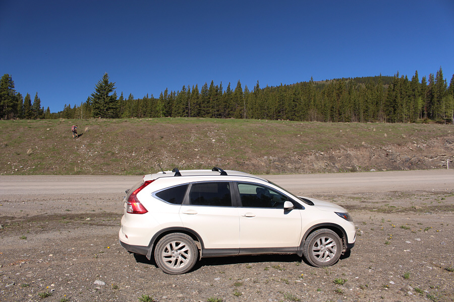
Zosia climbs up an embankment on the west side of the Forestry Trunk Road.
We're not lost yet. Good! 
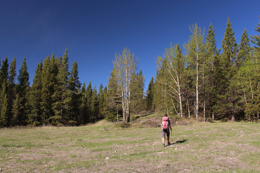
Zosia crosses a meadow to the start of a road on the other side of the berm ahead.
Sneaky little bugger! 
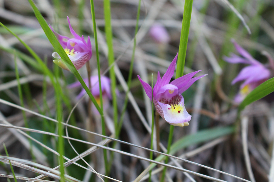
The calypso orchid apparently relies on deception to get pollinated.  The colourful flower attracts insects but produces no nectar for consumption.  Insects inadvertently pick up pollen from the flower while investigating but quickly learn not to return. 
That's what I like--very little bush! 
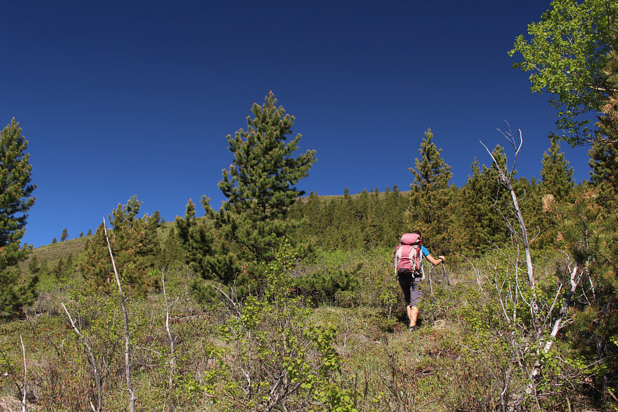
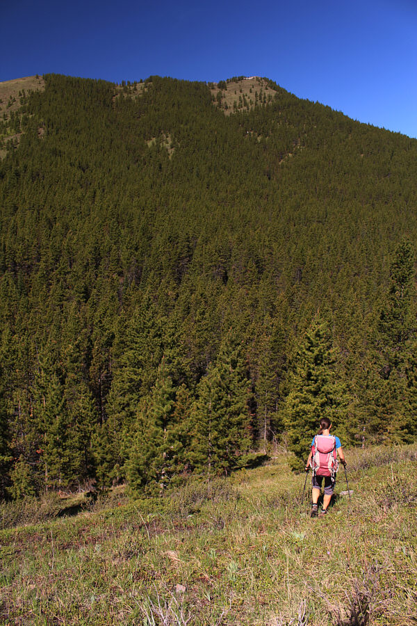
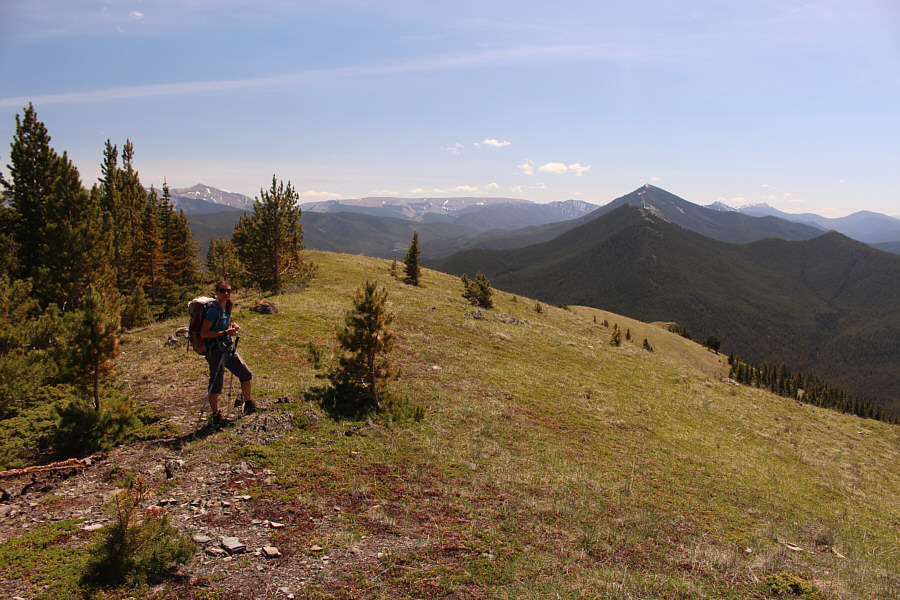
After abandoning the trail, Zosia endures some light bushwhacking while climbing up Hill 663809.
More than just a forested bump! 
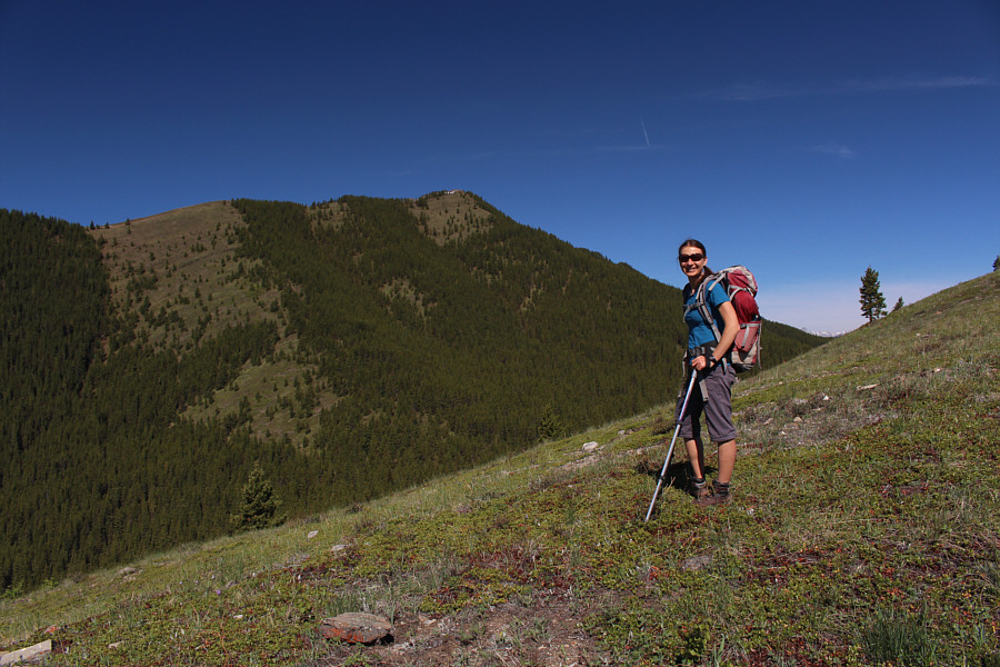
Zosia gets her first look at the high point of Coyote Hills from near the top of Hill 663809.
Having to regain all this elevation loss sucks, but it's really not that bad. Zosia drops down into a gap between Hill 663809 and the high point of Coyote Hills.
Working hard grinding up this slope! 
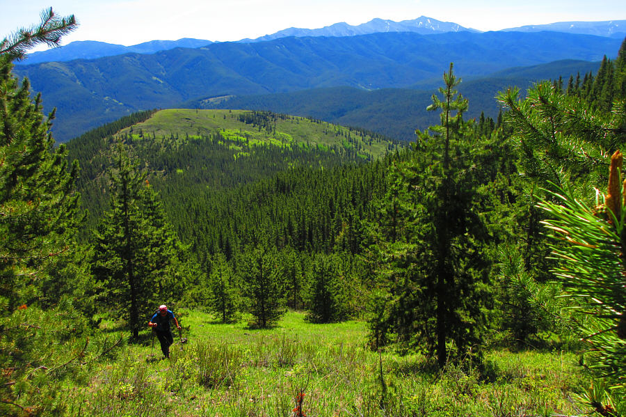
Sonny climbs up a slope leading to the high point of Coyote Hills.  Behind him is Hill 663809, and on the distant right horizon is Mount Burke.

Photo courtesy of Zosia Zgolak

Easy street. 
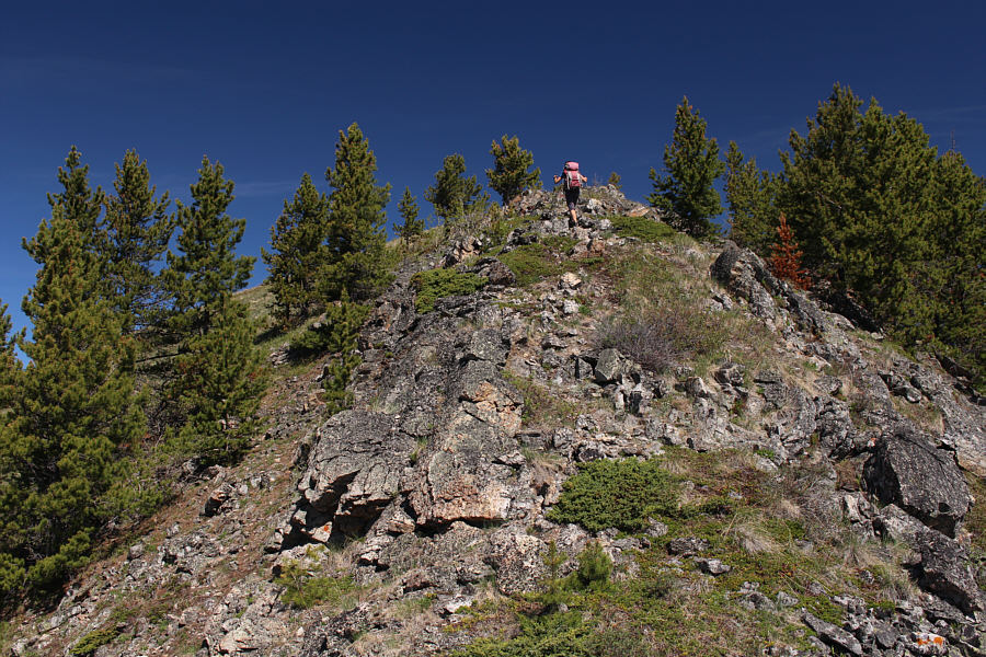
Zosia hikes up the south ridge of Coyote Hills.
Siesta time! 
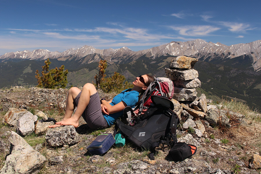
Zosia relaxes on the high point of Coyote Hills (2140 metres).
This is a place that I have yet to visit... 
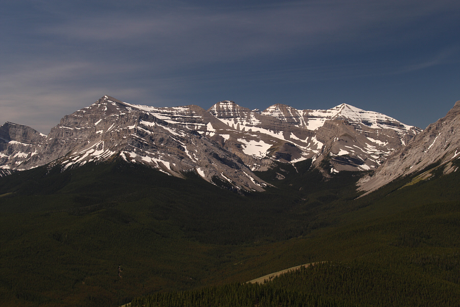
In the vicinity of Fording River Pass to the southwest are Baril Peak, Mount Cornwell and the northeast outliers of Courcelette Peak.

More Nugara peaks that I have yet to climb!

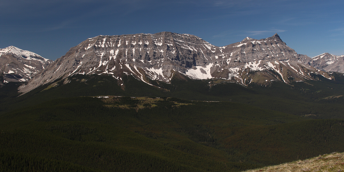
Directly west of Coyote Hills are Mount Armstrong and Mount Maclaren.


Still some work left for me here...

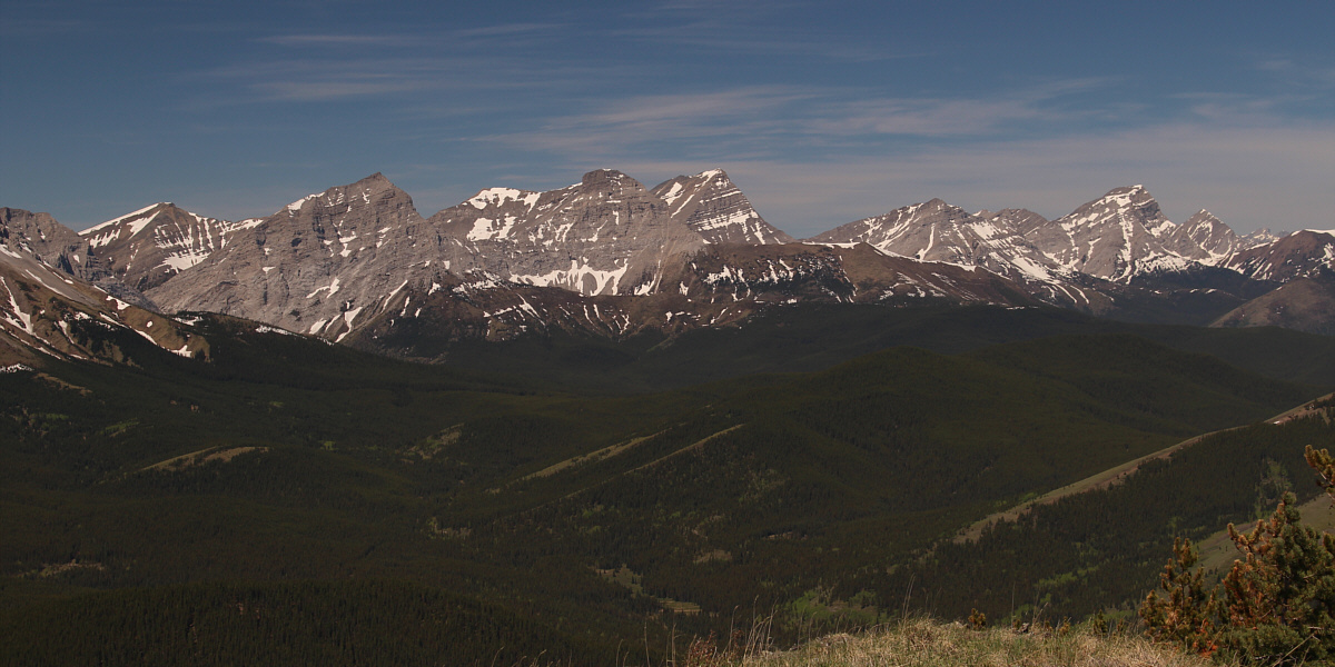
Visible to the northwest are Mount Strachan, Mount Muir, Mount McPhail, Mount Bishop and Mount Loomis.


Hard to tell in this photo, but Highwood Junction is jam-packed with cars! 
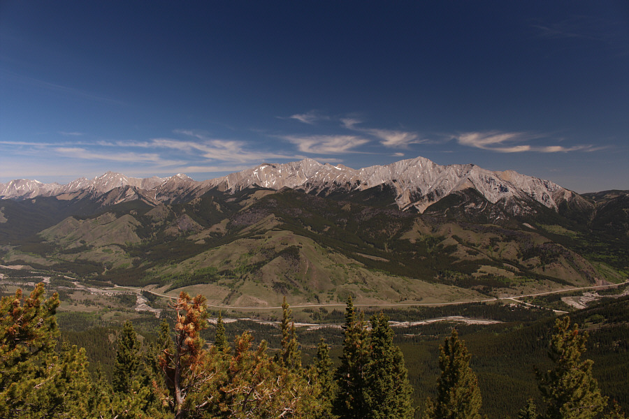
Mount Head and Holy Cross Mountain stand out to the northeast.
Ahhhwoooooooo!!! Zosia and Sonny stand near the high point of Coyote Hills.
I hiked up Raspberry Ridge and biked up Plateau Mountain eons ago! Zosia heads down the south ridge of Coyote Hills.  Visible in the distance are Plateau Mountain and Raspberry Ridge.
Hee haw! 
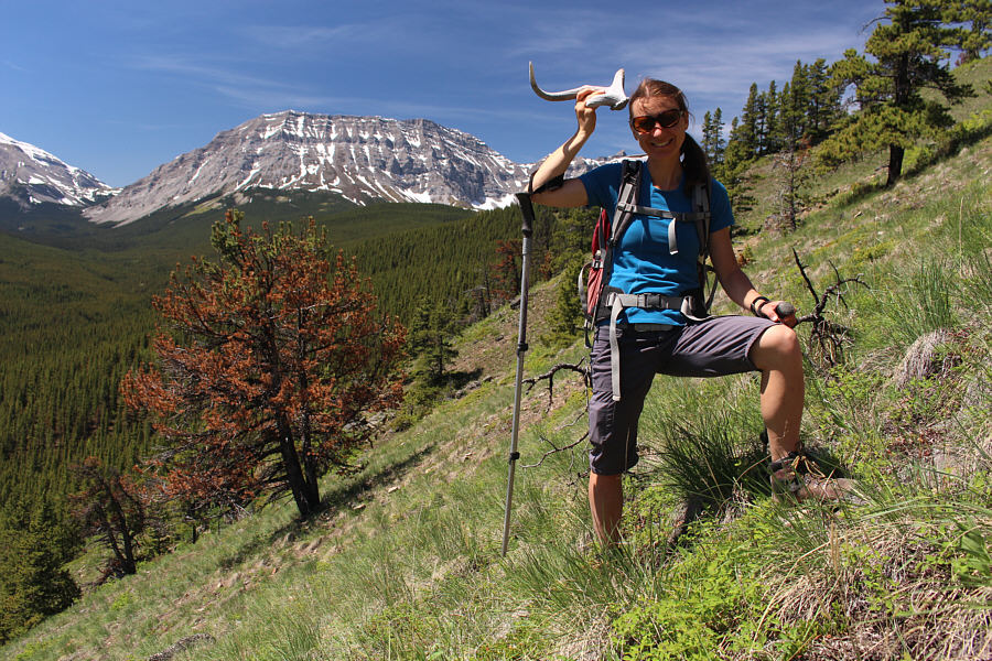
Zosia finds an antler while descending the south ridge of Coyote Hills.
Spring is definitely here! 
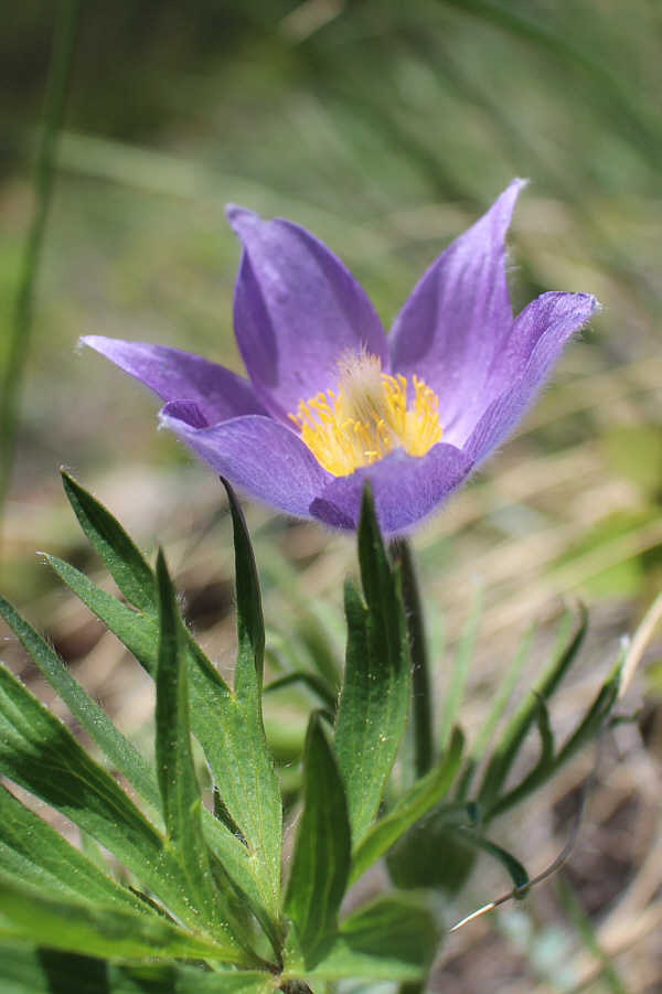
A prairie crocus is in full bloom on the grassy slope.
How did we get here?? Sonny flounders a bit on an eroded slope while thrashing along the north bank of Baril Creek.

Photo courtesy of Zosia Zgolak
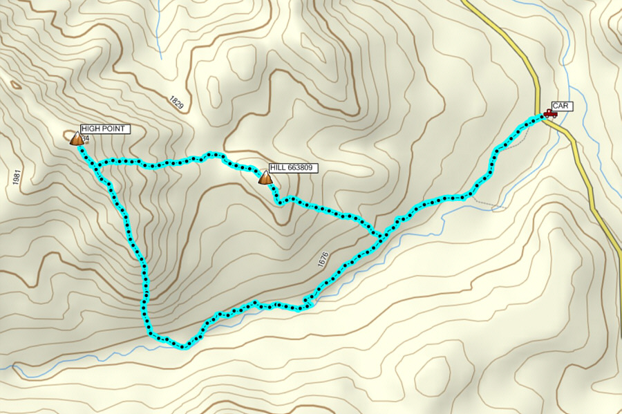
A nice jaunt for a lazy day! Total Distance:  9.3 kilometres
Round-Trip Time:  5 hours 39 minutes
Net Elevation Gain:  558 metres

GPX Data