Photo courtesy of Zosia Zgolak

|
|
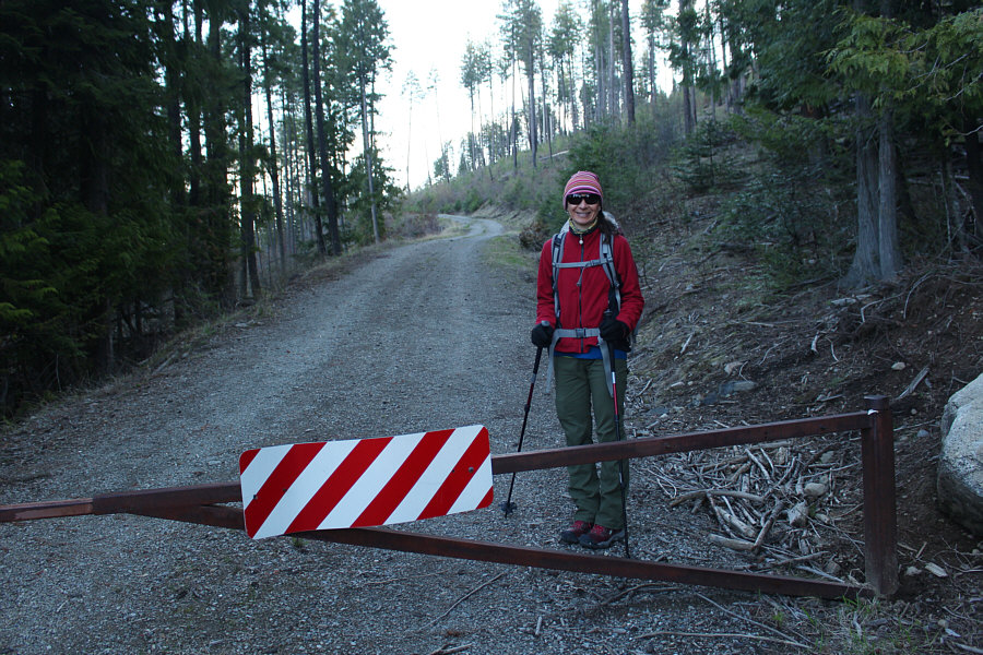
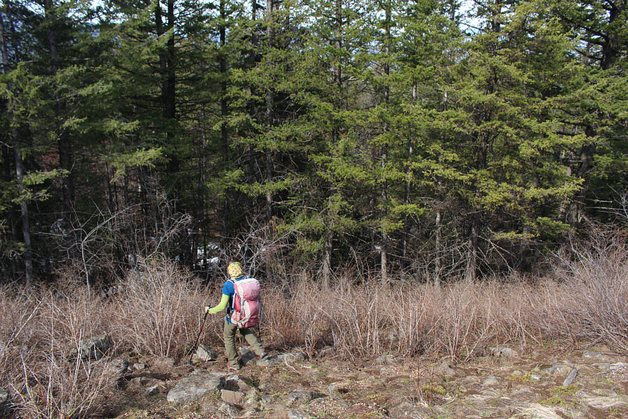
Zosia passes a gate near the start of the hike. |
|
|
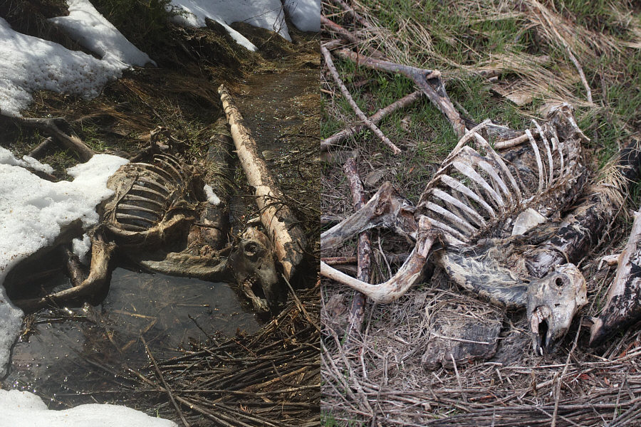
A dead deer rests on the side of the access road. The photo on the left was taken over three weeks earlier. |
|
|
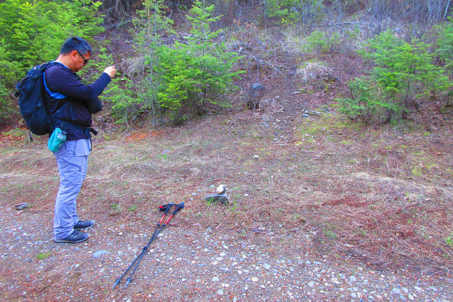
A faint beaten path through the trees seems like a logical spot to leave
the road. Photo courtesy of Zosia Zgolak |
|
|
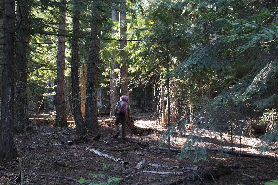
With the beaten path petering out, Zosia continues off-trail through the forest. |
|
|
Zosia clears the forest and ascends an open slope. |
|
|
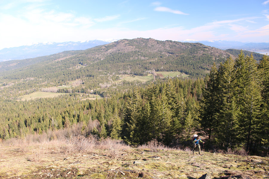
Gold Mountain can be seen to the north as Zosia climbs the open slope. |
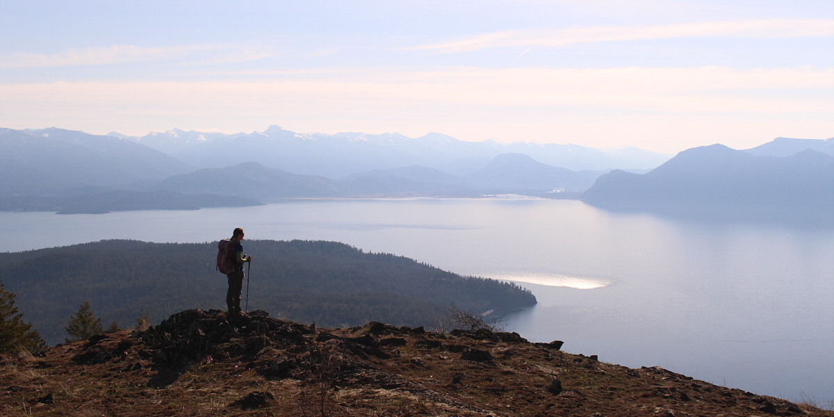
A plateau along the north ridge of Grouse Mountain grants an unobstructed view of the eastern half of Lake Pend Oreille. At left in the hazy distance is Scotchman Peak.
 |
Sonny approaches the summit cairn on Grouse Mountain. Photo courtesy of Zosia Zgolak |
 |
Sonny and Zosia stand near the summit of Grouse Mountain (1289 metres). |
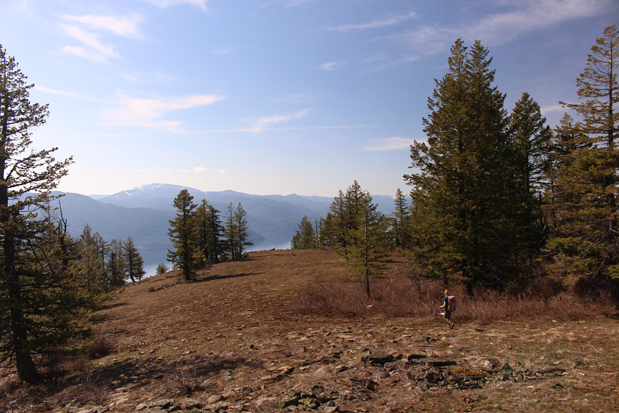 |
Zosia wanders toward the south end of the summit ridge. |
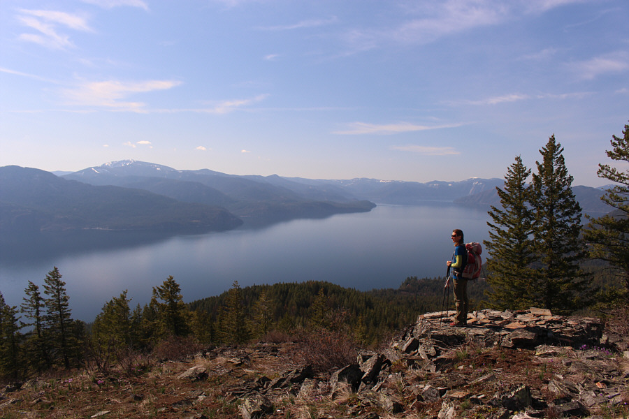 |
At the south end of the summit ridge, Zosia gets a nice view of the southern half of Lake Pend Oreille. |
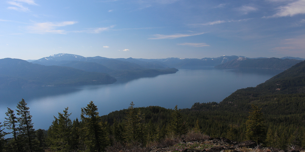
Here is another look at the southern half of Lake Pend Oreille. At left is Packsaddle Mountain.
 |
Grasswidow flowers (Olysinium douglasii) are blooming all over Grouse Mountain. |
 |
Zosia takes a short cut down the west side of the mountain. |
 |
The bushwhacking on the west side of Grouse Mountain is moderately tough. |
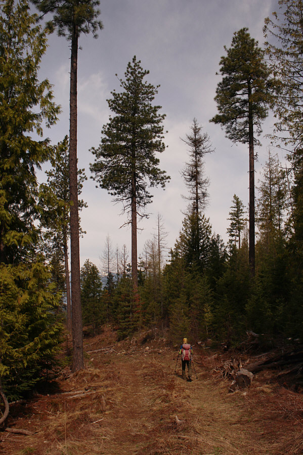 |
Zosia follows an unmarked logging road partway down the mountain. |
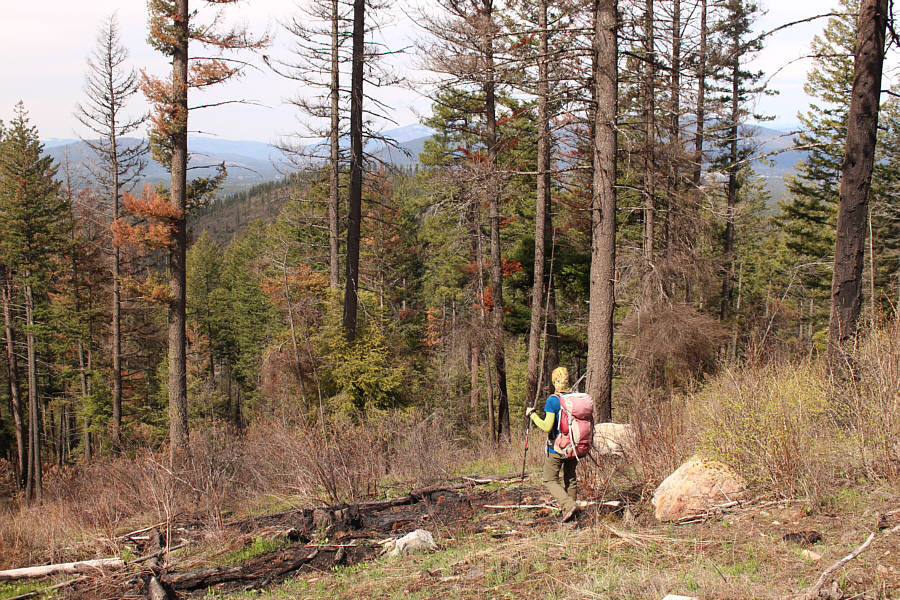 |
The bushwhacking is lighter lower down the mountain. |
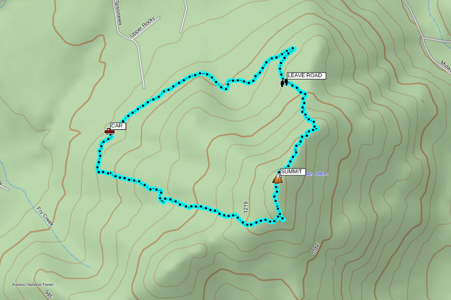 |
Total
Distance: 7.3 kilometres Round-Trip Time: 3 hours 23 minutes Net Elevation Gain: 428 metres |