BOU AVENUE
Kesler Lake Peak And Lakeview Ridge
On 3 April 2021, Dave McMurray and Andrew Nugara invited Zosia Zgolak and me to join them for what turned out to be a romp over several ridges surrounding Oil Basin in the northern edge of Alberta's Waterton Lakes National Park.  Initially, Dave's and Andrew's main goal was to ascend a knob at the terminus of a long ridge running north from Rogan Peak (also known locally as The Horn).  Due to the knob's close proximity to little-known Kesler Lake, we would refer to this knob as "Kesler Lake Peak".  Early in the morning, Zosia and I rendezvoused with Dave and Andrew at the park's bison paddock (accessed from Highway 6 about 2 kilometres north of the junction with Highway 5), and together, we followed the park boundary fence line northward for 4.8 kilometres before turning west to reach Oil Basin in another 2.9 kilometres.  Crossing open meadows, we climbed up the east face of Kesler Lake Peak, and although there are plenty of easy hiking routes to the top, Dave and Andrew opted to take a more difficult line which entails some hands-on scrambling.  Zosia and I initially followed suit, but the loose and crappy rock here prompted us to eventually escape to easier terrain to climber's left.  Dave and Andrew would later join us when they had to circumvent a large cliff just below the top.
This is gonna be a short hike, right?

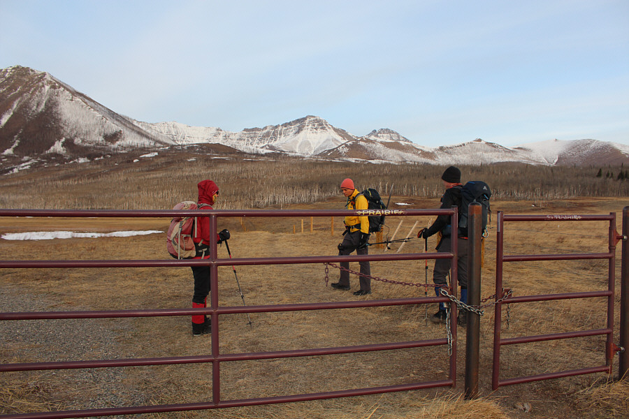
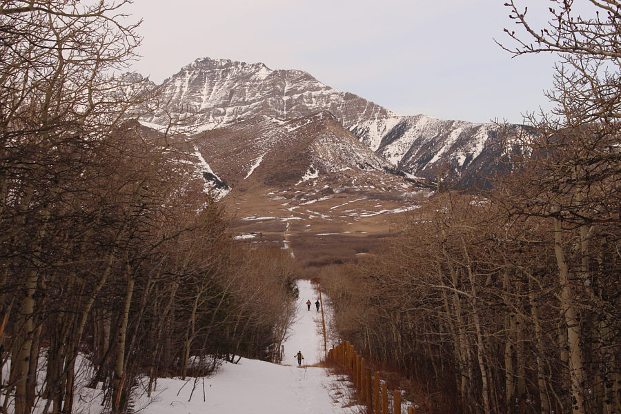
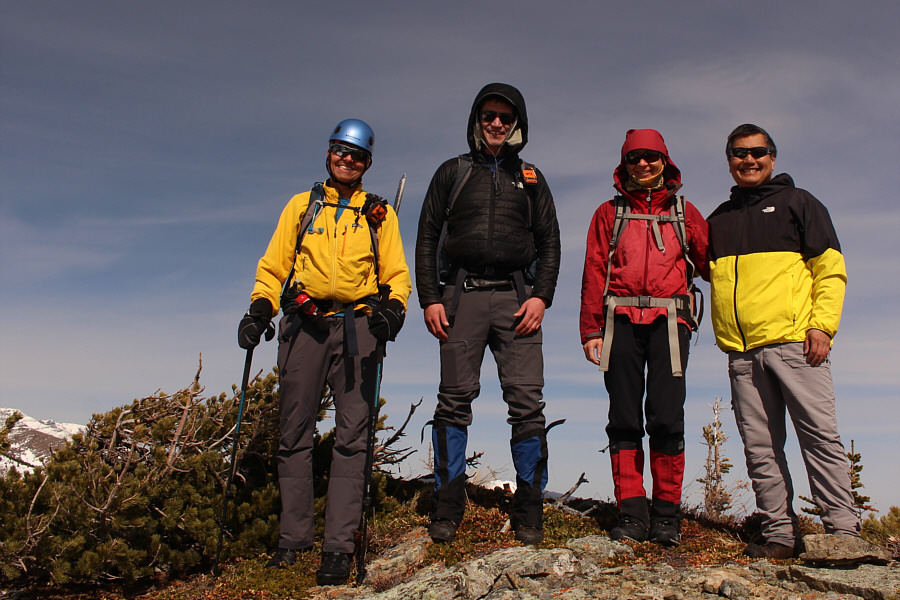
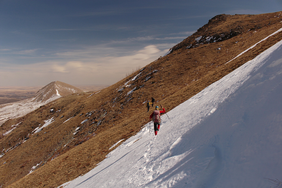
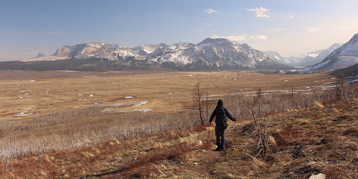
Zosia, Andrew and Dave start hiking from a gate near the bison paddock in Waterton Lakes National Park.  Lakeview Ridge can be seen at far right.

A very pleasant walk in itself.

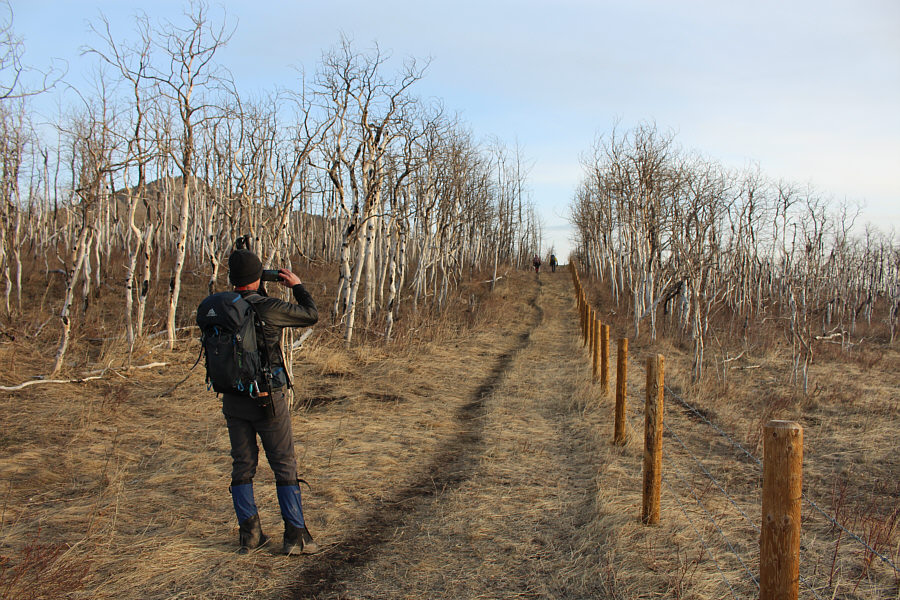
The group follows a fence along the eastern boundary of the park.

No hip waders needed! 
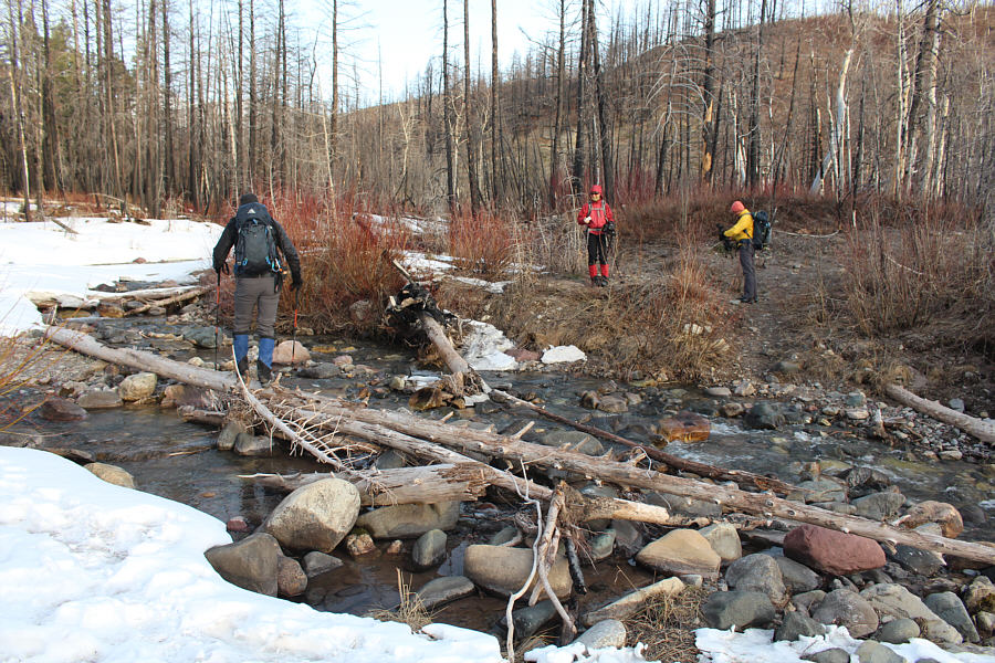
Dave carefully hops across Galwey Brook.
Probably a very seldom visited part of the park! 
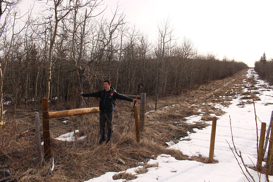
Dave stands at the northeast corner of the park boundary.
A camouflaged peak! 
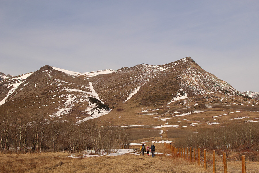
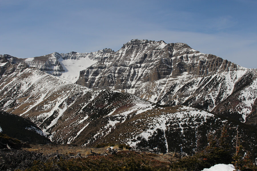
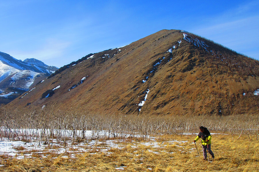
The group heads west straight toward Kesler Lake Peak (centre) which is difficult to discern in front of the more massive Cloudy Ridge.

I have yet to climb these two...

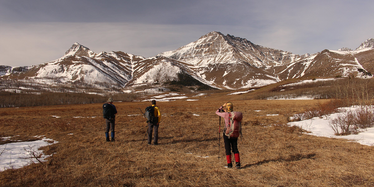
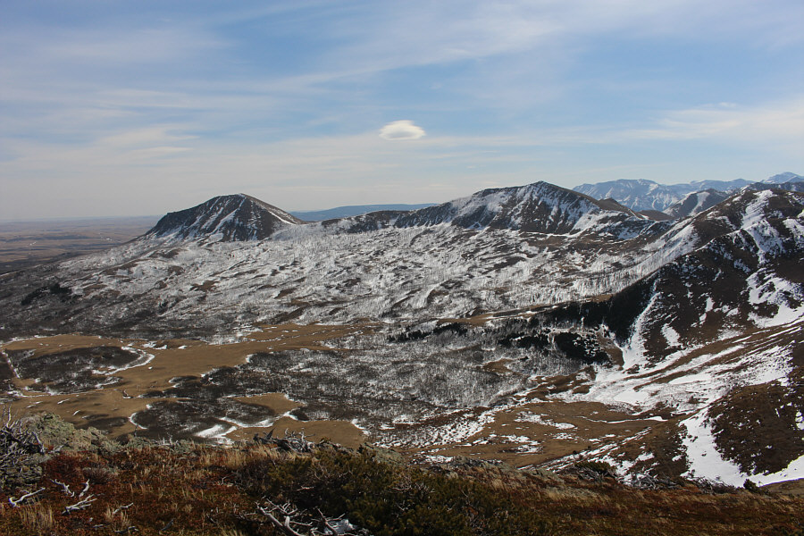
The group reaches an open meadow with views of Rogan Peak (left) and Mount Dungarvan (right of centre).


Looks like lots of easy routes up... Up close, Kesler Lake Peak becomes more well-defined.
And of course, we're gonna take the hardest line up the peak! 
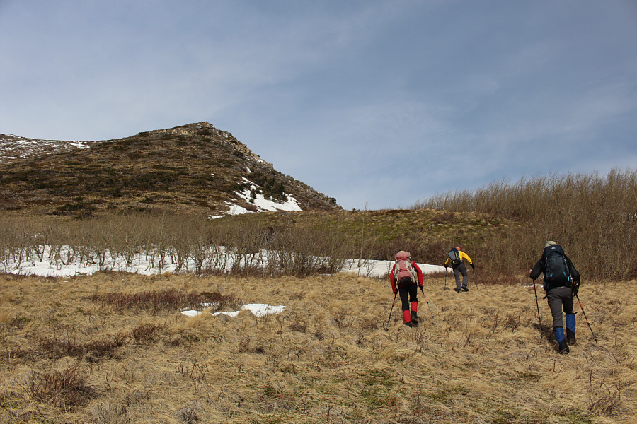
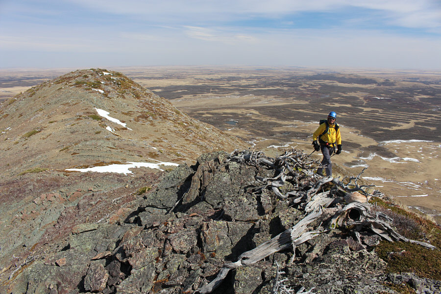
The group charges up to the base of Kesler Lake Peak.
Wanna go for a dip? 
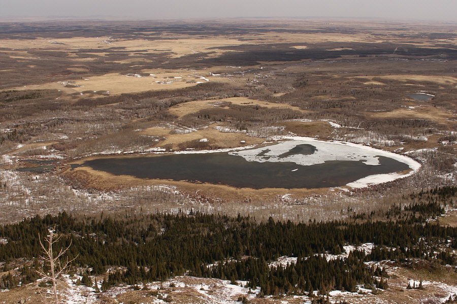
Kesler Lake sits to the northeast and is bisected by the park boundary.
Maybe unclimbed?

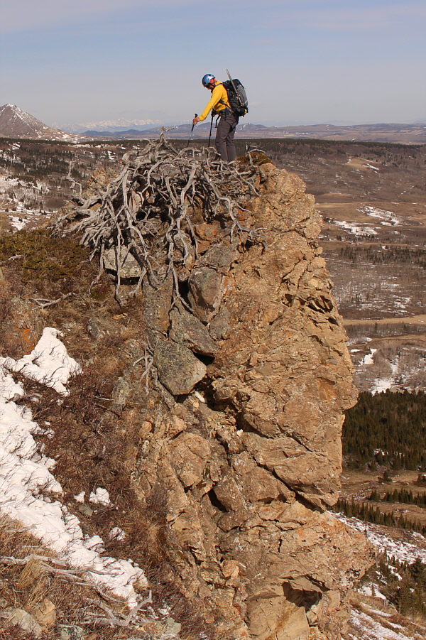
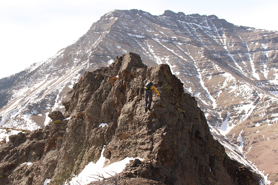
Andrew stands atop the most distinctive rock feature on the east side of Kesler Lake Peak.

Not what she signed up for!

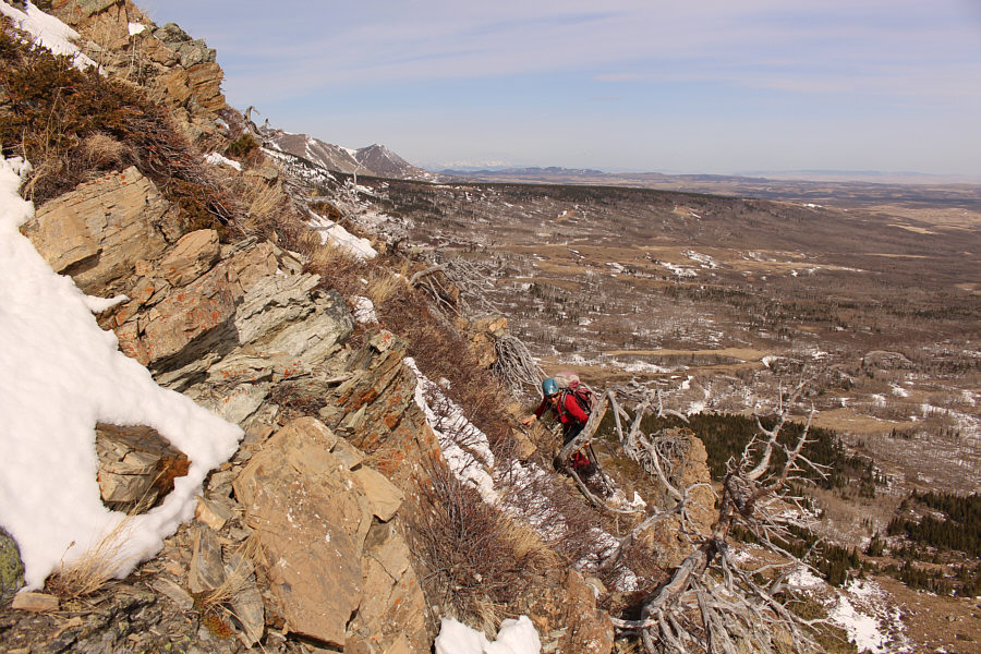
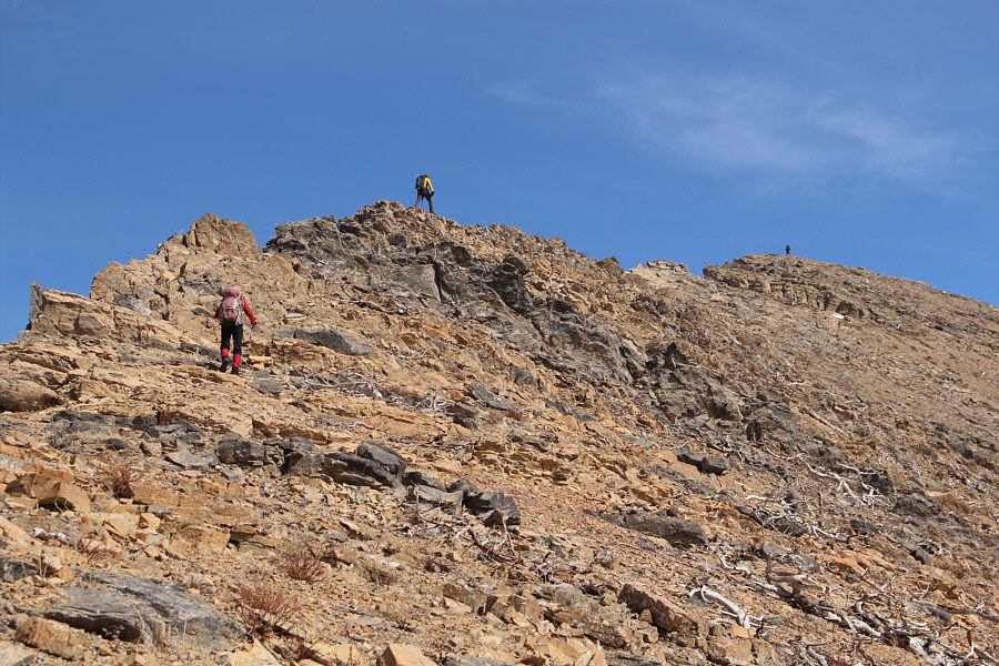
Zosia finds herself in increasingly difficult terrain.

Not really scrambling anymore!

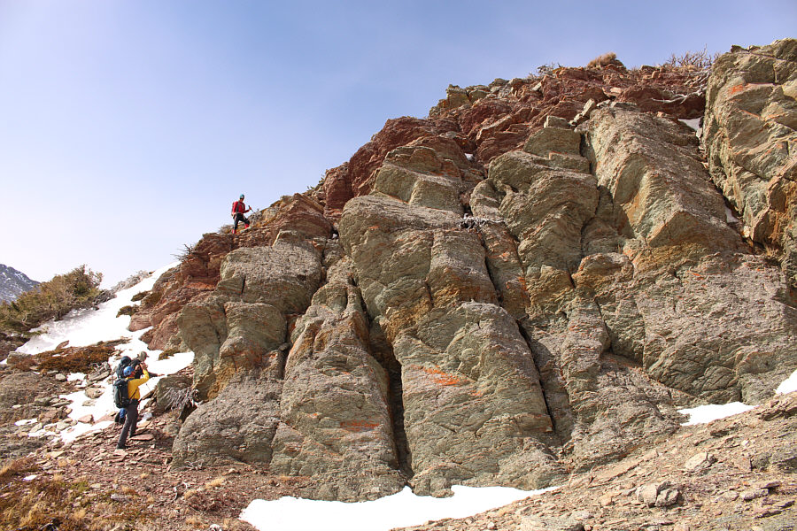
The group circumvents some big cliffs just below the top.

There's a slightly higher point further south along the ridge, but we're calling this northernmost point the summit. Andrew, Dave, Zosia and Sonny stand on top of Kesler Lake Peak (1857 metres).
Another future trip for me perhaps...

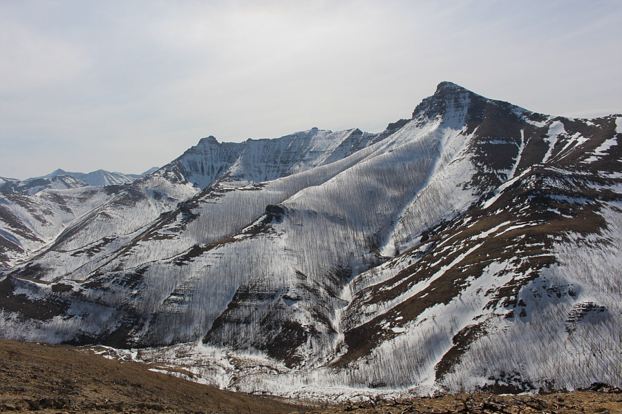
Cloudy Ridge dominates the view to the west.

A beautiful corner of the park which few people venture into.

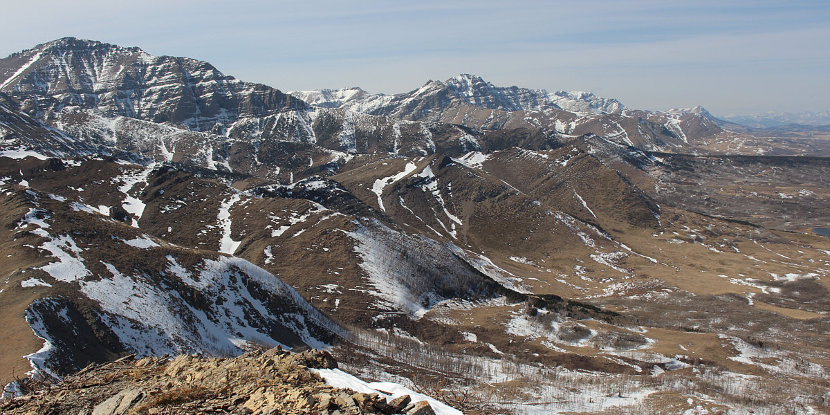
This is the view to the southeast of Oil Basin and Lakeview Ridge.

Upon reaching the top of Kesler Lake Peak, we took a short break before continuing southward along the long ridge connected to Rogan Peak.  Although the ridge undulates a fair bit, the hiking here was generally easy and enjoyable with even a few optional opportunities for hands-on scrambling.  We eventually turned eastward and dropped down to a saddle just west of Lakeview Ridge.  Dave's and Andrew's original plan was to drop down into Horseshoe Basin and hike back out the established trail there, but seeing the abundance of snow in the valley, I suggested going over the top of Lakeview Ridge instead.  Of course, I was the only one in our group who had yet to climb Lakeview Ridge, but fortunately, the others were quite amenable to my route suggestion and tackled the ridge without complaint.

From the saddle, it took us roughly 30 minutes to reach the high point of Lakeview Ridge where we stopped for another short break before continuing southward.  We then followed the ridge crest all the way to its end before dropping steeply down to Galwey Brook.  The slopes above the brook are very loose, and we had to be careful to avoid knocking rocks down on each other.  Climbing up the far side of the brook, we intersected the Horseshoe Basin trail and subsequently followed it without trouble back to our starting point at the bison paddock.

I want to thank Dave for inviting Zosia and me to join him and Andrew on this very strenuous but satisfying hike which had everything--great weather, great scenery, and most of all, great company.

Be sure to check out Dave's trip report.
One of the few times during the day I was actually in front of Andrew!

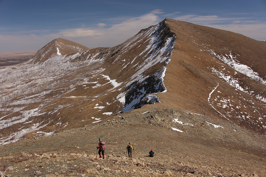
This is looking back at Kesler Lake Peak from a bump further to the south.

ABS--Always Be Scrambling!

Andrew scrambles up a rugged outcrop of rock with Mount Dungarvan in the background.

Yummy!

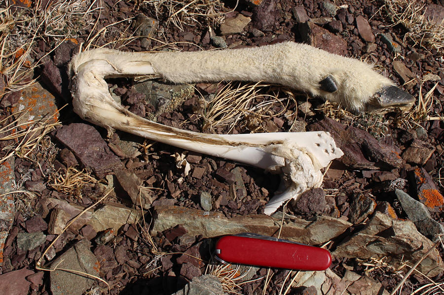
This sheep leg still has some meat on it.

Easy but with lotsa ups and downs.

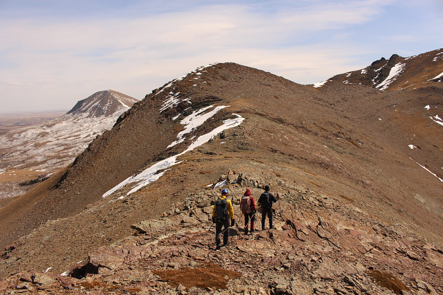
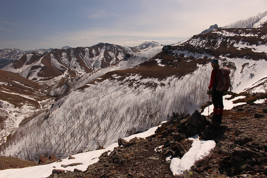
The group follows the ridge around Oil Basin (far left).

Andrew is taking more photos of rocks!

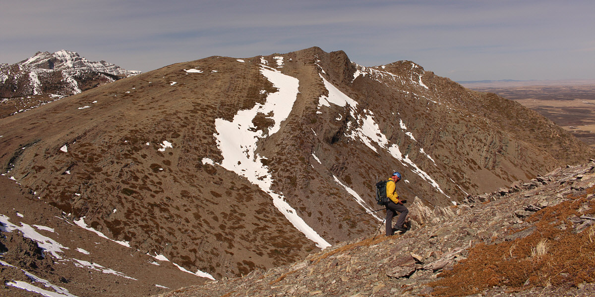
Here is a more comprehensive view of the ridge connected to Kesler Lake Peak (right).


No ice axe needed.

Zosia carefully traverses a lingering snow patch.

Still some good skiing here!

Zosia looks down into Horseshoe Basin with Bellevue Hill visible (left of centre) in the distance.

See the sheep? The group descends to a saddle before Lakeview Ridge.  Note the snowy trail coming from Horseshoe Basin.
Baaaaa! 
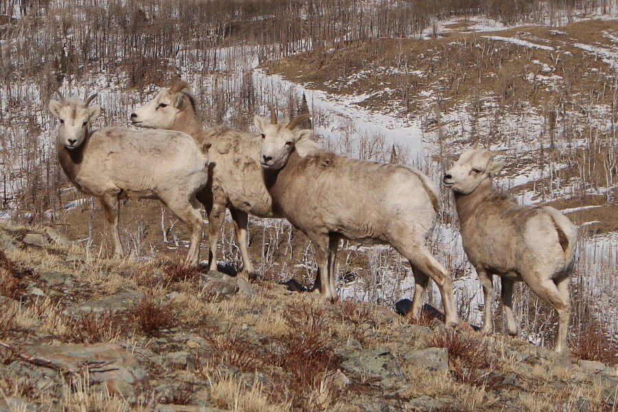
These four sheep look troubled by the presence of another foursome.
Sounds like a great plan to me! To avoid snow in Horseshoe Basin, the group opts to ascend Lakeview Ridge and then hike out via the south (right hand) ridge.
Dave is trying to break a speed record for climbing up from the saddle! The ascent of Lakeview Ridge is mostly easy off-trail hiking.

Nice day to be up here!

Andrew, Zosia, Dave and Sonny stand on the high point of Lakeview Ridge (1944 metres).


Looks at all them toothpicks sticking out of the snow! Across Horseshoe Basin to the southwest are Mount Galwey (left) and Rogan Peak (right).

Helluva ridge walk!

This is looking back at the route the group took from Kesler Lake Peak (right) which is again difficult to discern.  For reference, part of Kesler Lake is visible at far right.


Still a long walk ahead of us... 
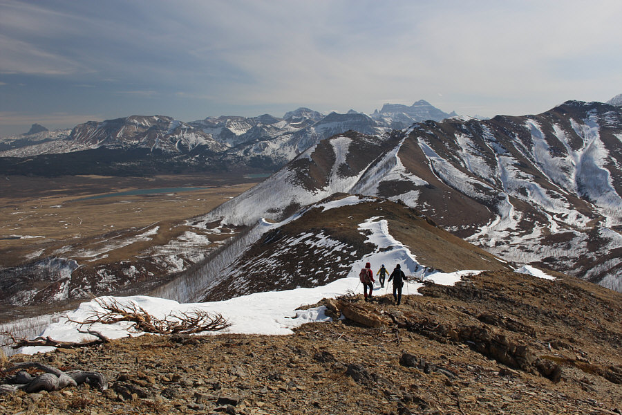
The group follows the crest of Lakeview Ridge southward.  Montana's Chief Mountain (far left) and Mount Cleveland (right) are both easy to spot on the horizon.
This ridge never seems to end! 
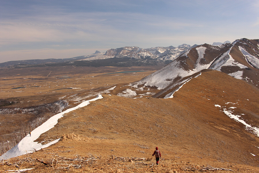
The walk along Lakeview Ridge is long but scenic.
Why are we still going uphill? 
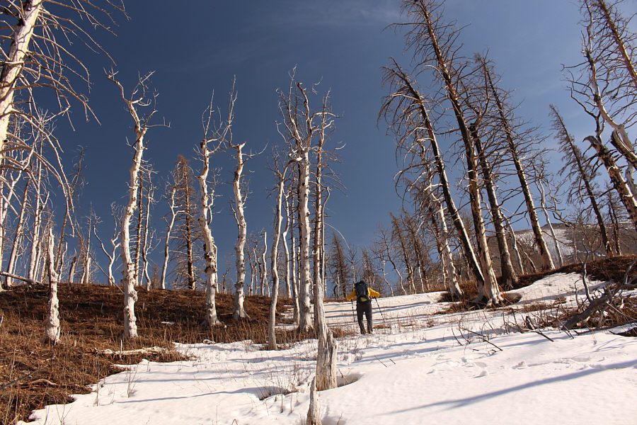
Andrew climbs out of a ravine through a fire-ravaged forest.
You can tell that I'm tired! 
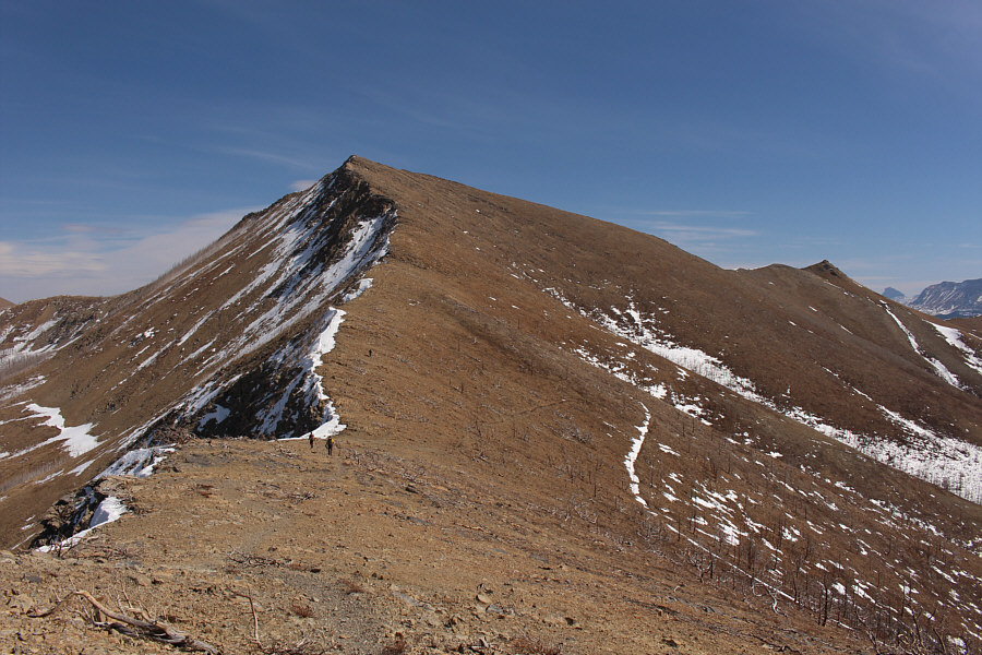
Here is a view of Lakeview Ridge's steep south end where the group descended.

Photo courtesy of Zosia Zgolak

Great views to end the day!

Dave hikes down the trail which eventually leads back to the bison paddock.
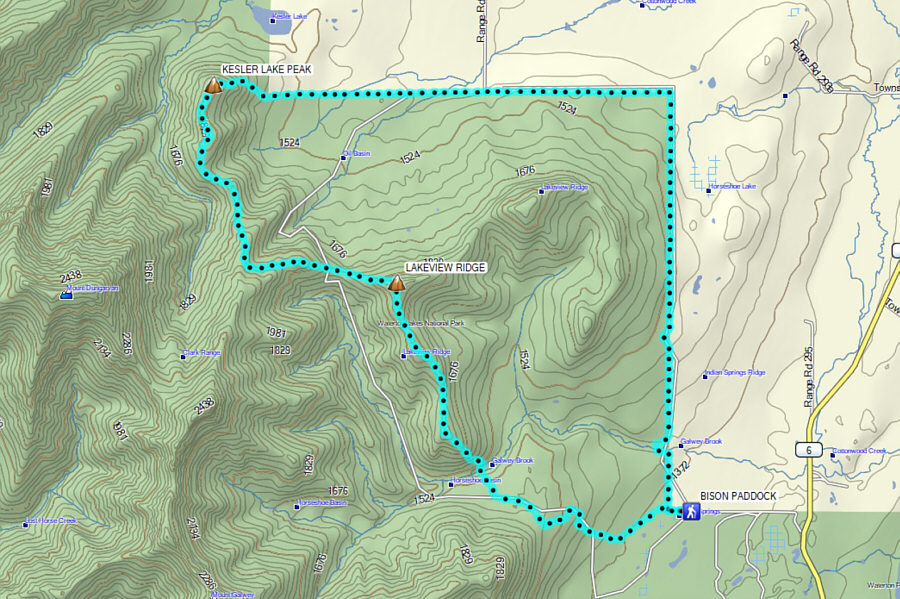
 

I thought this was supposed to be a short day! Total Distance:  22.1 kilometres
Round-Trip Time:  9 hours 55 minutes
Cumulative Elevation Gain:  ~1300 metres

GPX Data