BOU AVENUE
Highwood Ridge South Peak
On 1 October 2022, Bob Spirko invited Zosia Zgolak and me to join him and Dinah Kruze for a hike up the south end of Highwood Ridge in Alberta's Elbow-Sheep Wildland Provincial Park.  While Bob and I only visited the higher north end of Highwood Ridge in 2008, So Nakagawa traversed to the south end as an out-and-back hike in 2010, and the Rocky Mountain Ramblers traversed the ridge in its entirety in 2011.  Looking for a shorter outing, we were only interested in tagging the high point at the south end of the ridge.  For reference, Gillean Daffern's Kananaskis Country Trail Guide provides useful information for both the traverse and access to the south end of Highwood Ridge.  Also joining us for this trip were Dorota Sokolowska and her friend, Marta.

Park off the pavement on the west side of Highway 40 about 6.5 kilometres south of Highwood Pass or 31.0 kilometres north of Highwood Junction.  Look for an unmarked but distinct trail heading into the forest.

Dinah, Dorota, Marta, Bob, Zosia and I had to search the edge of the forest along the highway for a bit before we found the trail promised by Daffern.  This is actually the same starting point for Alan Kane's scramble route to Storelk Mountain which I ascended many years ago, but obviously, my memories of that trip are long forgotten.  After passing between a couple of "scuzzy lakes" as Dinah so eloquently called them, we missed a turnoff at a not-so-obvious T-intersection.  Fortunately, we did not go very far before realizing that something was amiss, and after returning to the T-intersection, we found the correct trail and quickly got back on track.  We followed this trail only briefly before abandoning it to head north on the beginnings of what would eventually develop into the south end of Highwood Ridge.  Although we initially had to step over quite a bit of deadfall, the bushwhacking was fairly light, and travel improved as we gained elevation.  We eventually broke out of the forest onto semi-open slopes, and the rest of the ascent was simply a matter of grinding uphill and navigating around a few patches of trees and some inconsequential cliff bands.  On this day, we had the high point all to ourselves and stopped there for a break while marvelling at the parking lots near Highwood Pass which were jam-packed with innumerable cars.

For our descent, Dinah, Dorota, Marta, Bob, Zosia and I backtracked for a short distance before taking a big detour to the west in hopes of seeing some yellow larches up close.  As it turned out, we were able to get near a few isolated trees, but the forest proved to be too thick for us to reach some of the larger stands of larches.  We ultimately gave up and just veered back to our original line of ascent where we retraced our steps back to the trailhead without any issues.

Be sure to check out Bob's trip report.
I made a big arrow with the stick at Dinah's feet.

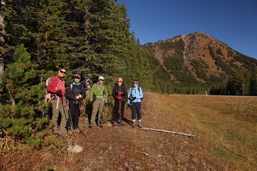
Zosia, Marta, Bob, Dorota and Dinah stand beside the start of the unmarked access trail beside the highway.  In the background is Highwood Ridge South Peak.

Beautiful capture by Zosia even though the pond is kinda scummy!

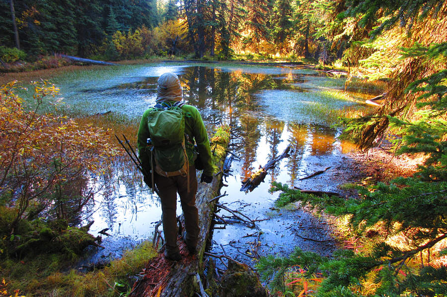
Bob checks out one of two shallow pools near the start of the trail.

Photo courtesy of Zosia Zgolak

Dinah is still worried about ticks crawling up her pants! 
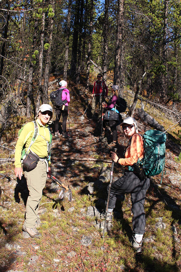
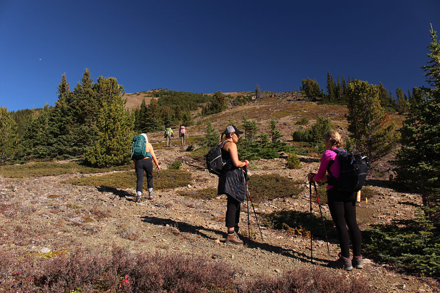
The group pauses partway up the south end of Highwood Ridge.
Dinah is a celebrity in these parts!

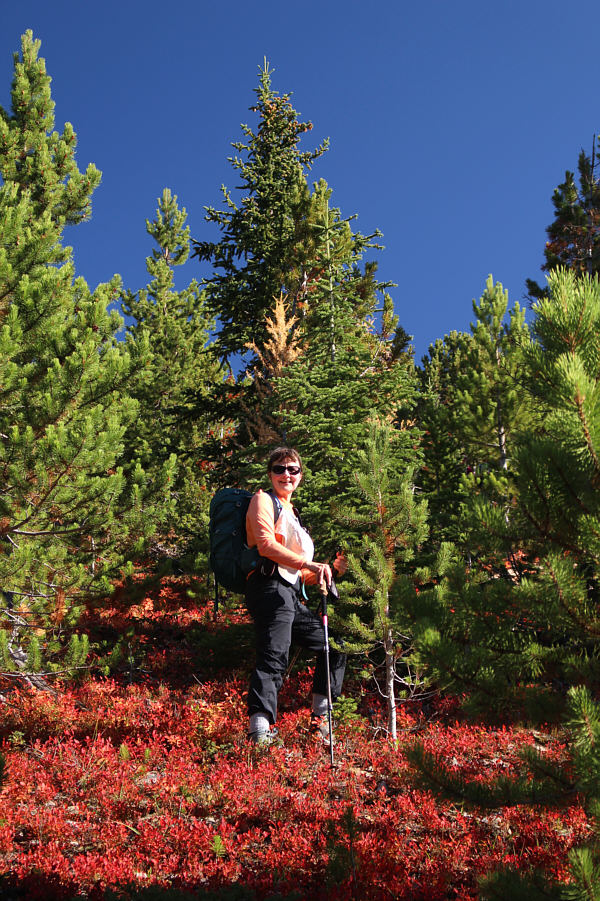
Dinah gets to walk on a "red carpet" higher up the ridge.  Note the lone larch tree hidden behind her.

Still some route-finding left to get through some bushes. 
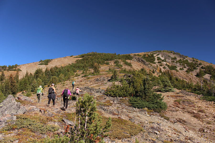
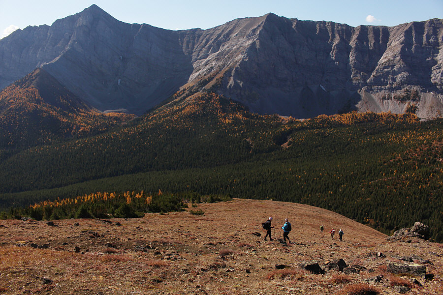
The terrain becomes more open as the group progresses up the ridge.
That means that there is PST on the other side of that rock wall!

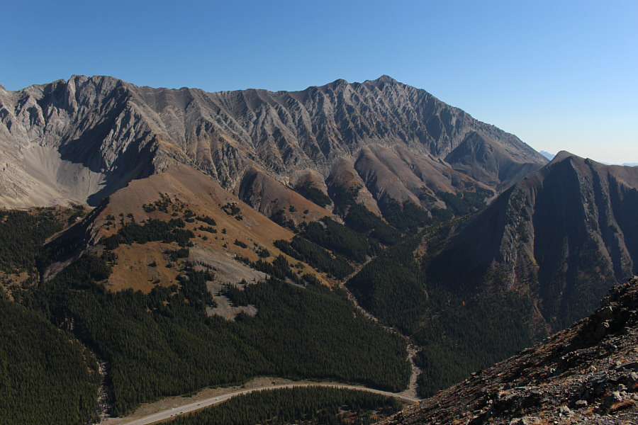
Views open up to the west of the Elk Range which is also coincidentally the Continental Divide at this point.

Sure doesn't look like any easy way up from this side!

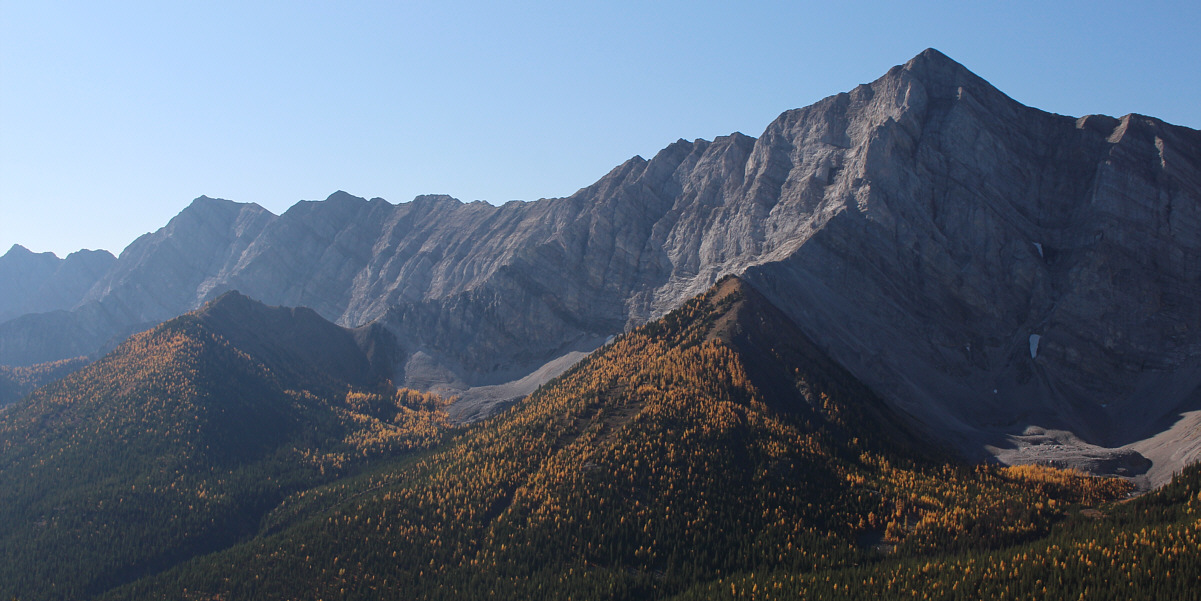
Storelk Mountain (right) is the only named summit along this section of the Elk Range.


Nothing complicated.

Some route-finding is necessary to get through a few bushy patches on the ridge.

A big loop hike might be worth trying in the future... 
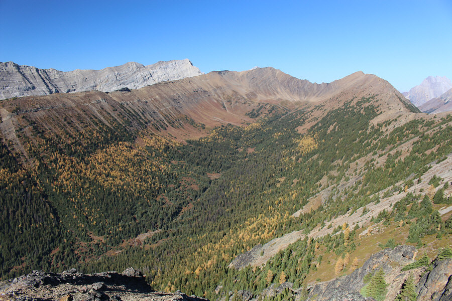
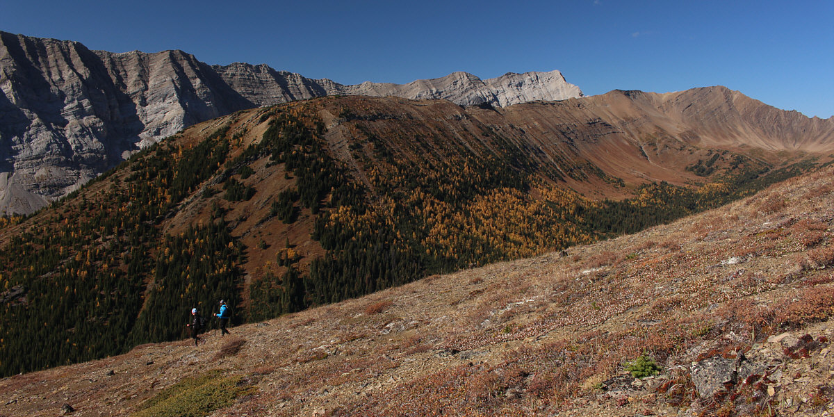
Here is a comprehensive view of what Gillean Daffern calls "Paradise Valley".  The valley is encircled by Grizzly Ridge and Highwood Ridge.
I think they were photographing a fuzzy caterpillar up there!

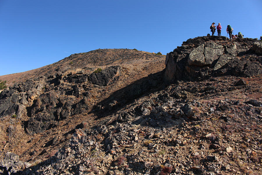
The group climbs atop a rock outcrop not far from the high point which is visible at left.

I'd rather be up here than down there with the hordes of tourists! 
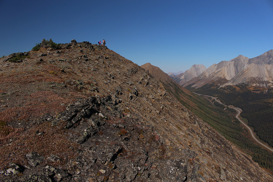
Highwood Pass is visible at right as the group approaches the high point of Highwood Ridge South Peak.

Yeah! Well done, everybody!

On the high point of Highwood Ridge South Peak (2561 metres) are Sonny, Marta, Dinah, Dorota, Zosia and Bob.


Oh, the humanity!

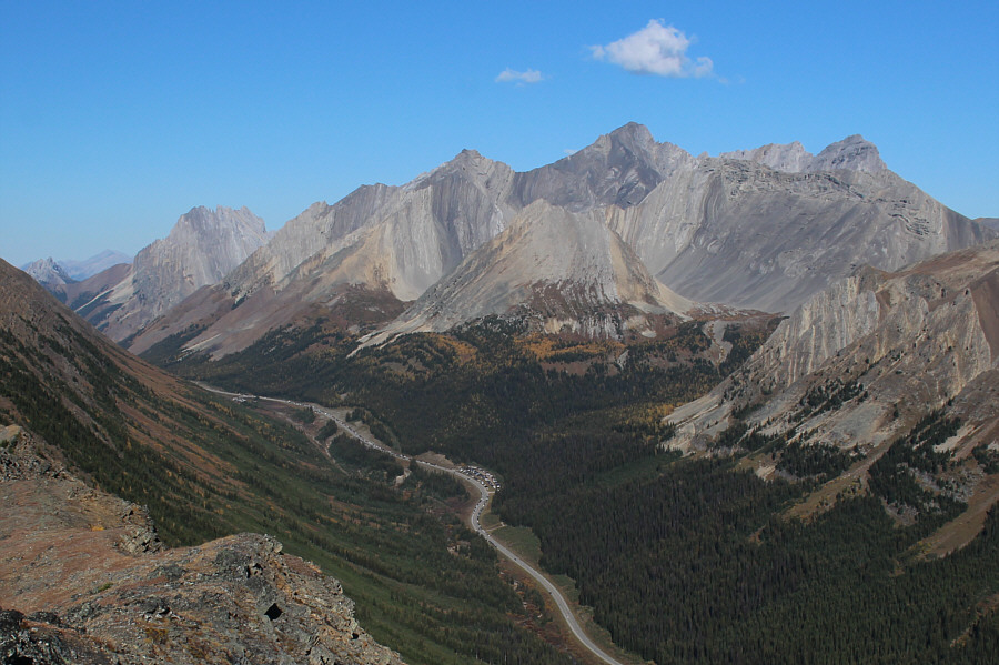
The highest peak in this view to the north is Mount Rae (right of centre).  Note the highway and parking lot jam-packed with cars down in the valley.

Amazingly bone-dry in October 2022 compared to the snowy conditions I had when I ascended in September 2004. 
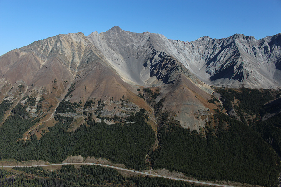
To the northeast is Storm Mountain.
I climbed this more than 25 years ago...boy, do I feel old! Rounding out the view to the east is Mist Mountain.
Easier said than done! On descent, the group takes a detour down this open slope in hopes of getting close to some of the larch trees at bottom left.

Worth a return visit in the future for sure!

Here is one last look at the entire length of Grizzly Ridge.  Behind the ridge at right is Mount Tyrwhitt.


I rubbed my face on the needles!

Dinah and Zosia fondle the soft needles of this lone larch tree.

Even less impressive than the first pool! On the way out, Zosia checks out the second shallow pool near the trailhead.  Most of the ascent route for Highwood Ridge South Peak is visible in the background.
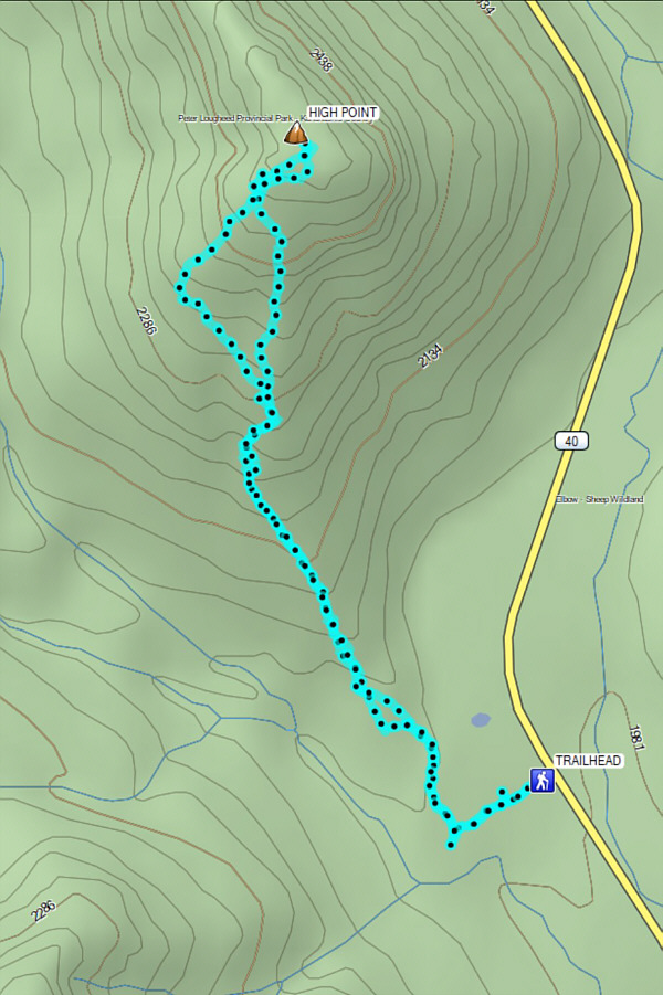
An excellent hike for avoiding all the larch-viewing nutbars up the highway! Total Distance:  6.3 kilometres
Round-Trip Time:  4 hours 28 minutes
Net Elevation Gain:  583 metres

GPX Data