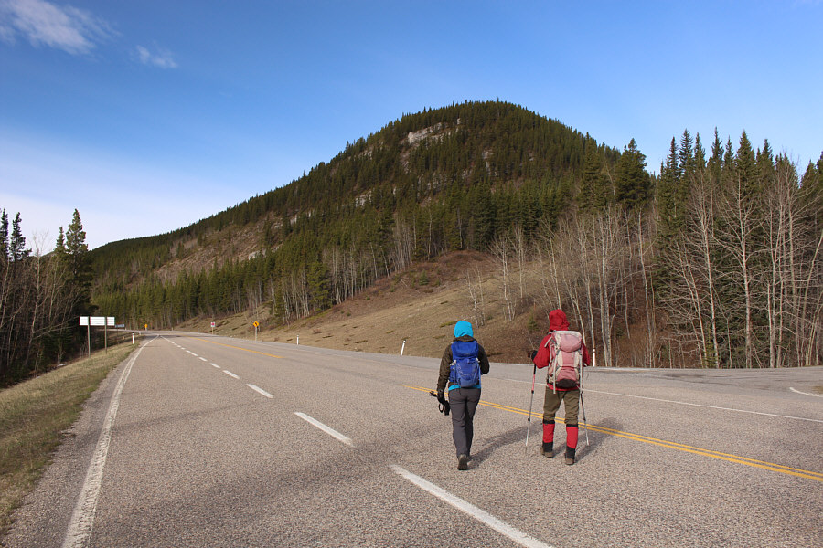
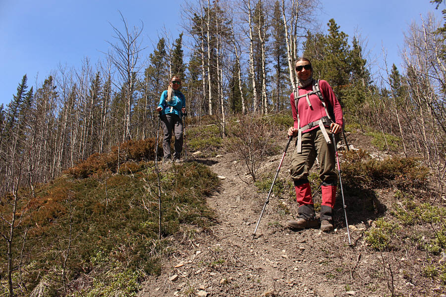
Aga and Zosia approach the northeast end of Three Little Summits.
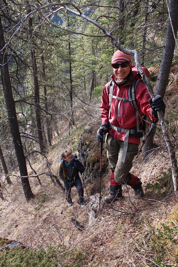
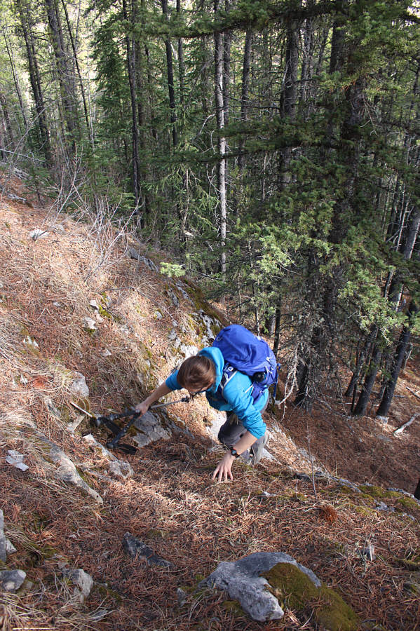
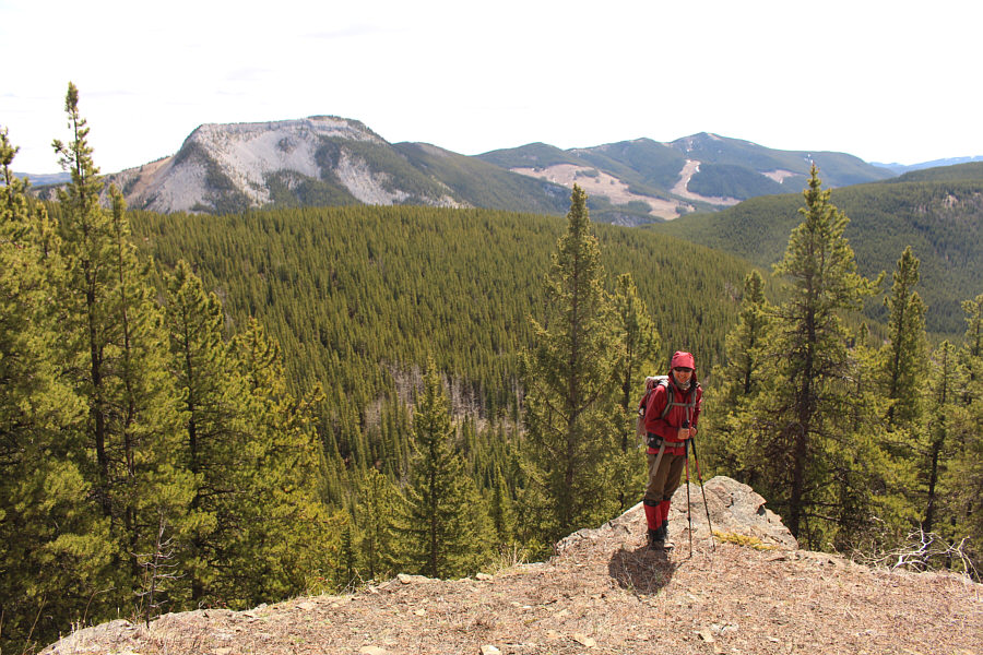
Aga and Zosia climb up the steep northeast end of Three Little Summits.
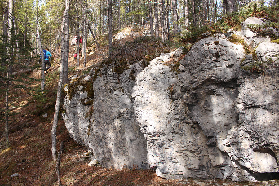
This cliff band along the ridge is easily bypassed.
|
|
Aga and Zosia approach the northeast end of Three Little Summits. |
|
|
Aga and Zosia climb up the steep northeast end of Three Little Summits. |
|
|
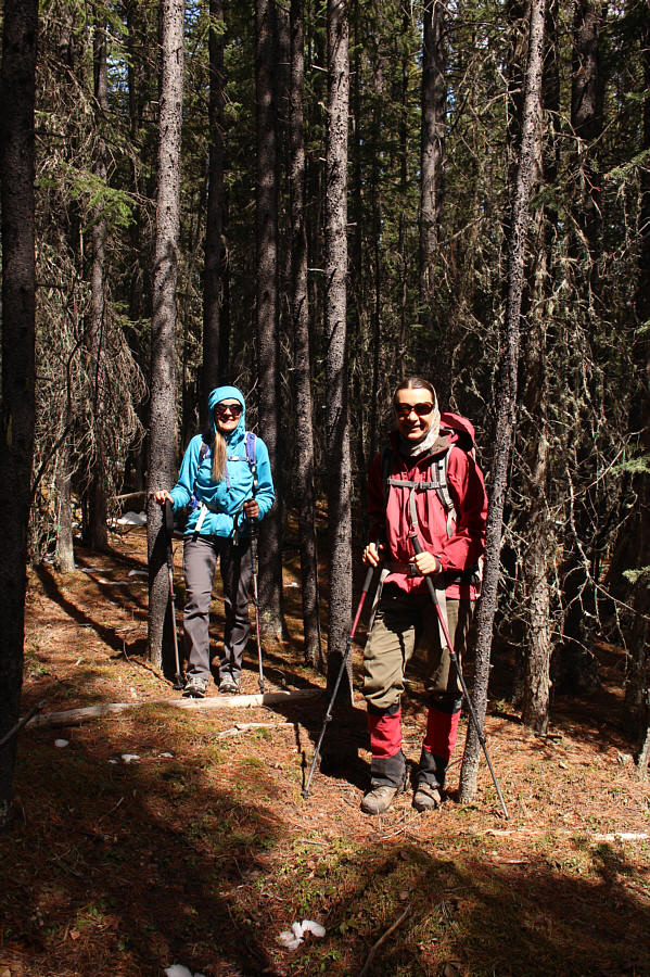
A few sections require easy hands-on scrambling. |
|
|
This cliff band along the ridge is easily bypassed. |
|
|
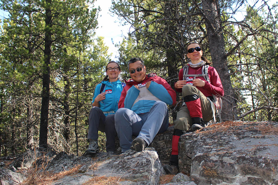
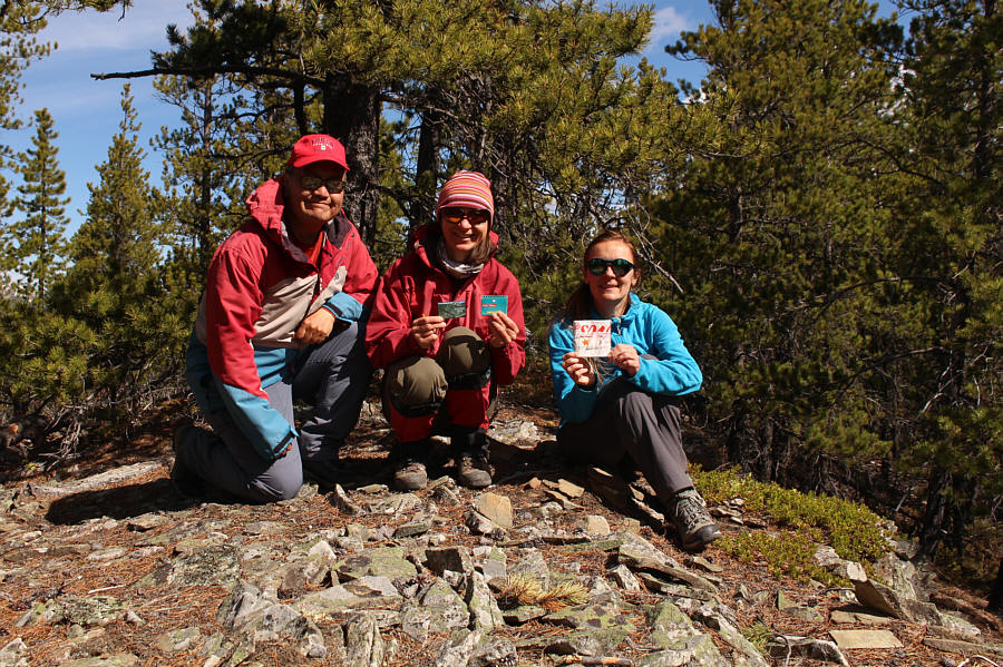
Aga, Sonny and Zosia hold up some badges from a geocache on the First (east ) Little Summit (1849 metres). |
|
|
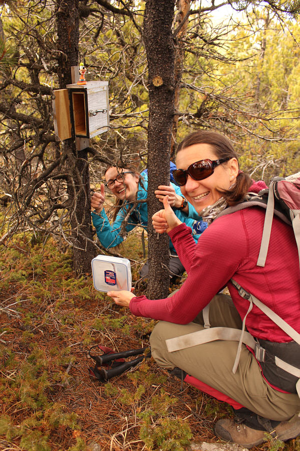
Aga and Zosia find another geocache near the Second Little Summit. |
|
|
Sonny, Zosia and Aga stand on the Second (middle) Little Summit (1852 metres). |
|
|
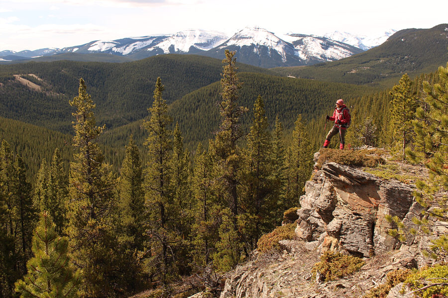
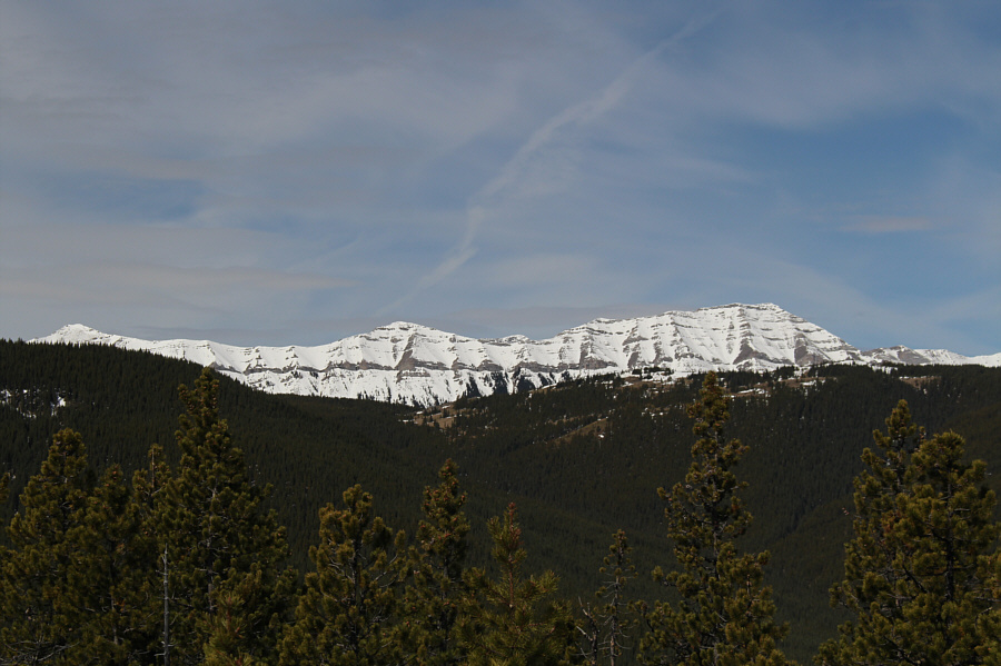
Bluffs near the Second Little Summit grant some far-reaching views. |
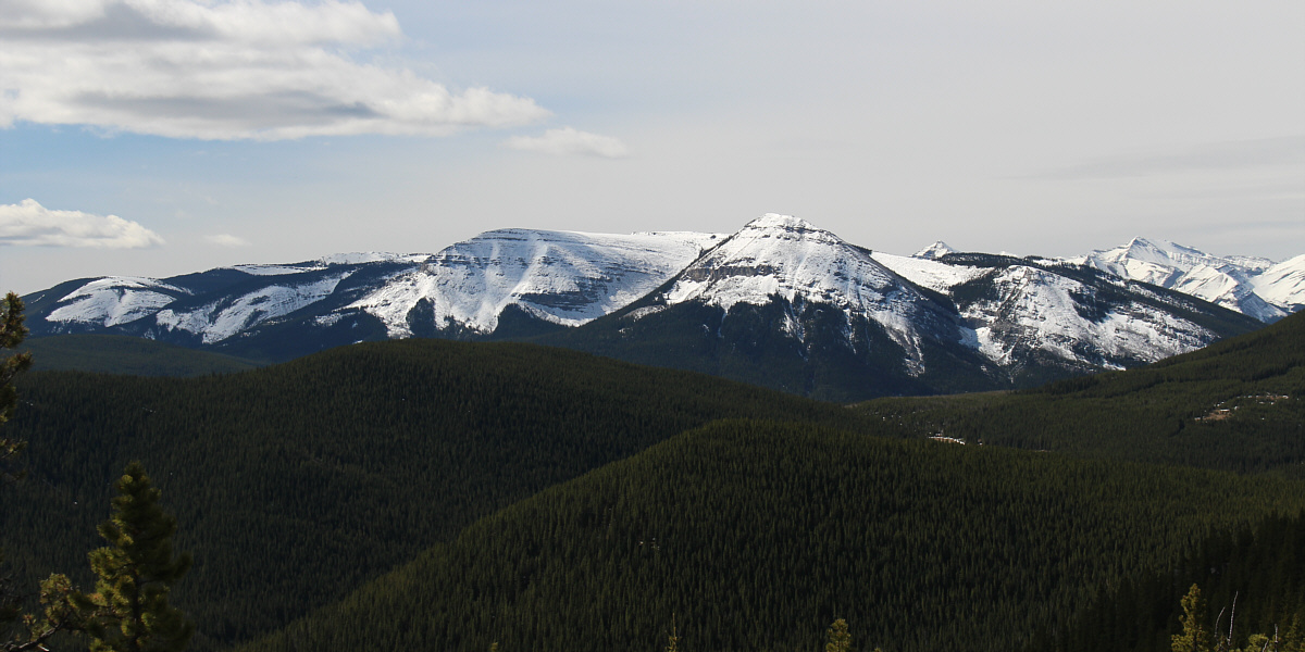
Here is a closer look at Forgetmenot Ridge to the south.
 |
Nihahi Ridge stands above intervening Powderface Ridge to the west. |
 |
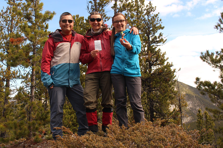
Sonny, Zosia and Aga hold up more geocache items on the Third (west) Little Summit (1851 metres). |
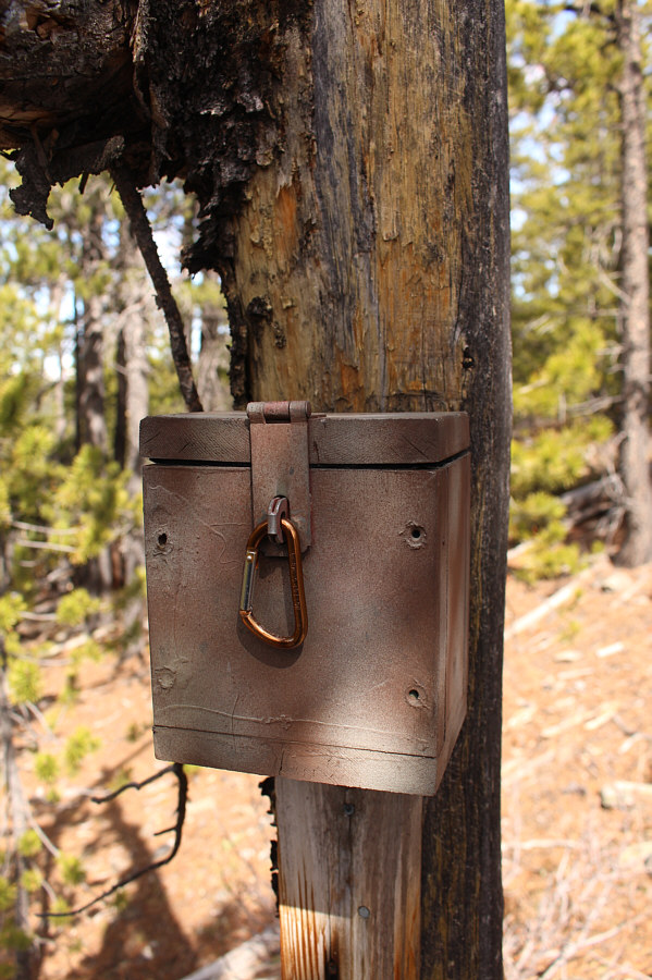 |
The geocache box on the Third Little Summit is located a little further away from the actual high point. |
 |
The view to the east includes Iyarhe Ipan (left) and Myosotis Peak (distant right). |
 |
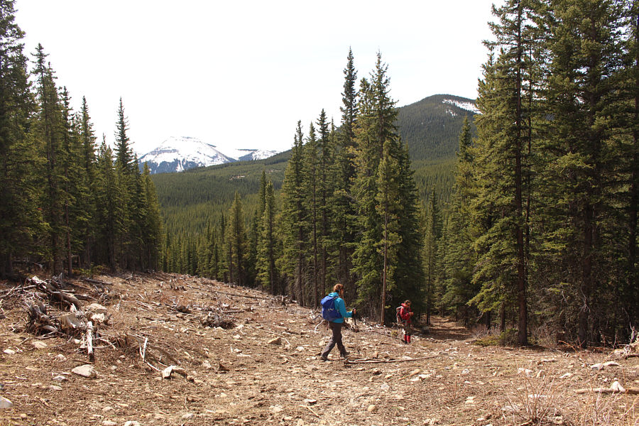
Descending from the Third Little Summit, Aga and Zosia make their way through some thicker forest. |
 |
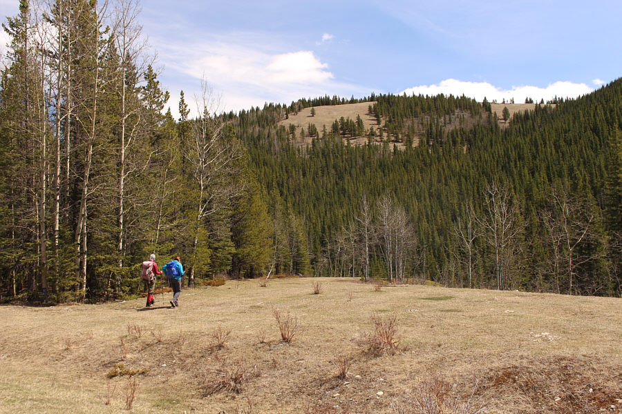
After a short stretch of bushwhacking, Aga and Zosia find a convenient road running alongside a logged corridor. |
 |
Rainy Creek Falls is just over the edge at the far end of this clearing beside the highway. |
 |
Aga and Zosia carefully make their way down the steep and loose west bank of Rainy Creek. |
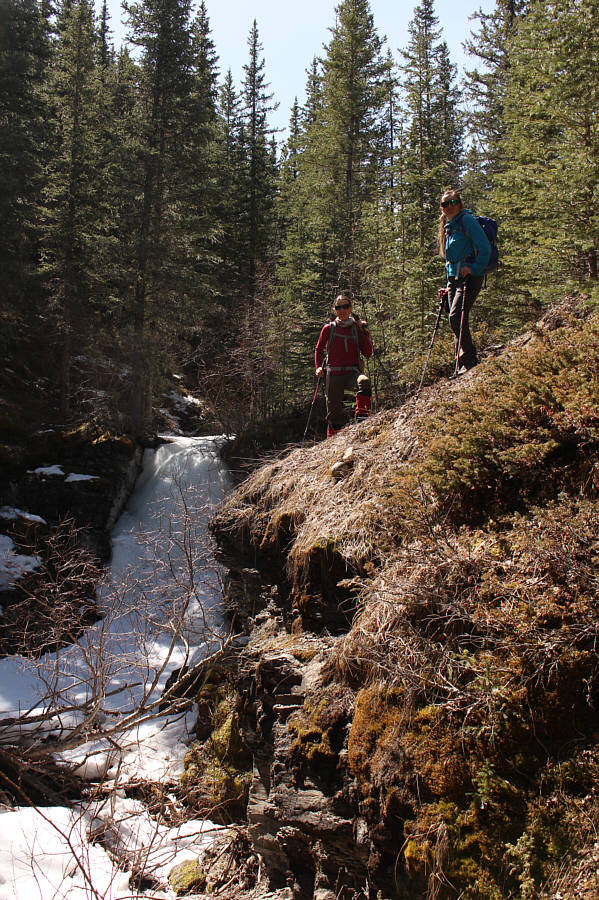 |
Zosia and Aga stand beside still-frozen Rainy Creek Falls. |
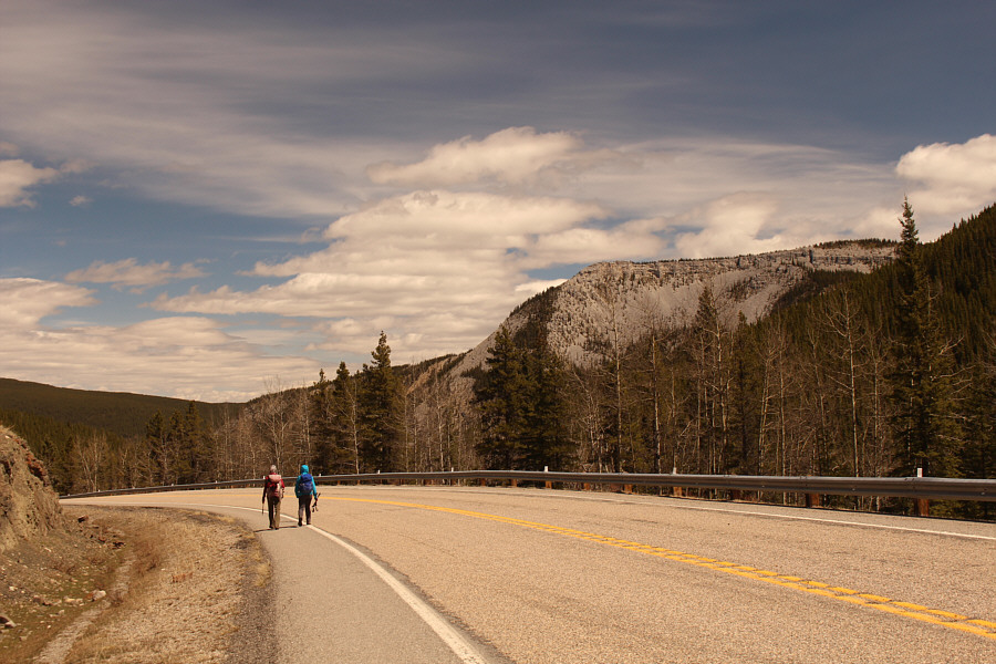 |
Zosia and Aga hike back to the seasonal gate along the highway. At right is Iyarhe Ipan. |
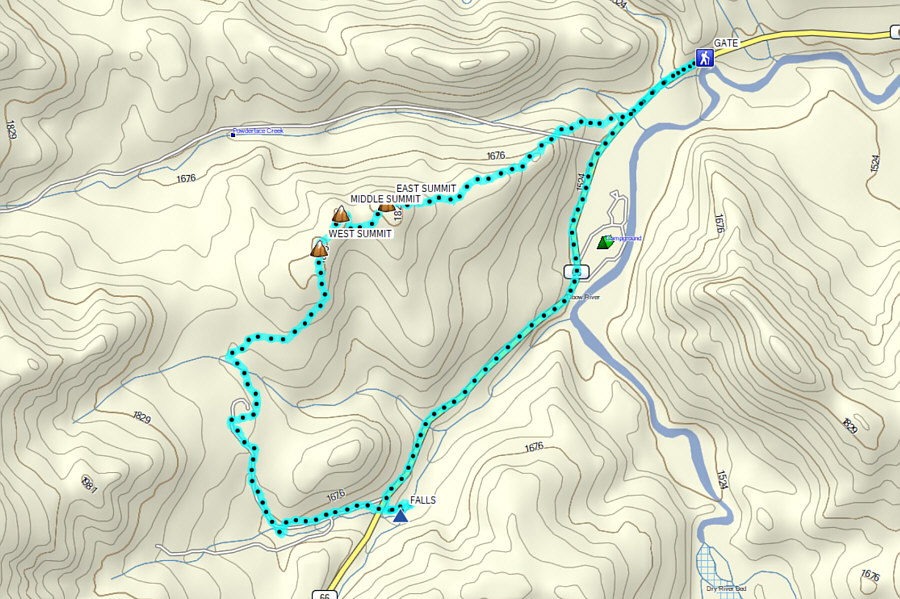 |
Total
Distance: 10.4 kilometres Round-Trip Time: 5 hours 53 minutes Cumulative Elevation Gain: 474 metres |