
Tracy Peak, the highest summit of Mount Bill Nye, is visible at centre.
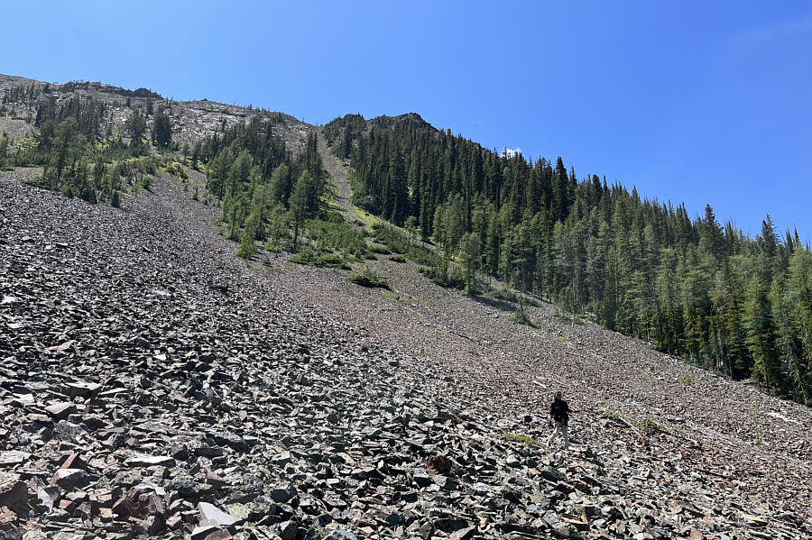
This is looking back down into the basin from partway up the scree slopes.


|
|
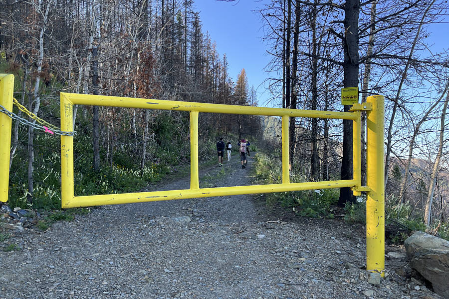
A locked gate prevents driving further into the basin north of Mount Bill Nye. |
|
|
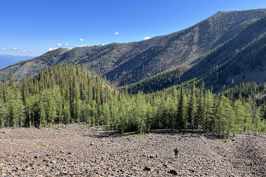
Tracy Peak, the highest summit of Mount Bill Nye, is visible at centre. |
|
|
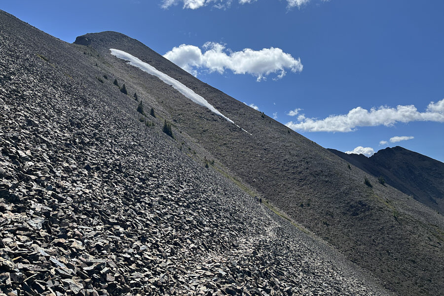
These scree slopes look innocuous enough from the bottom. |
|
|
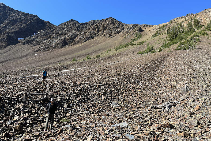
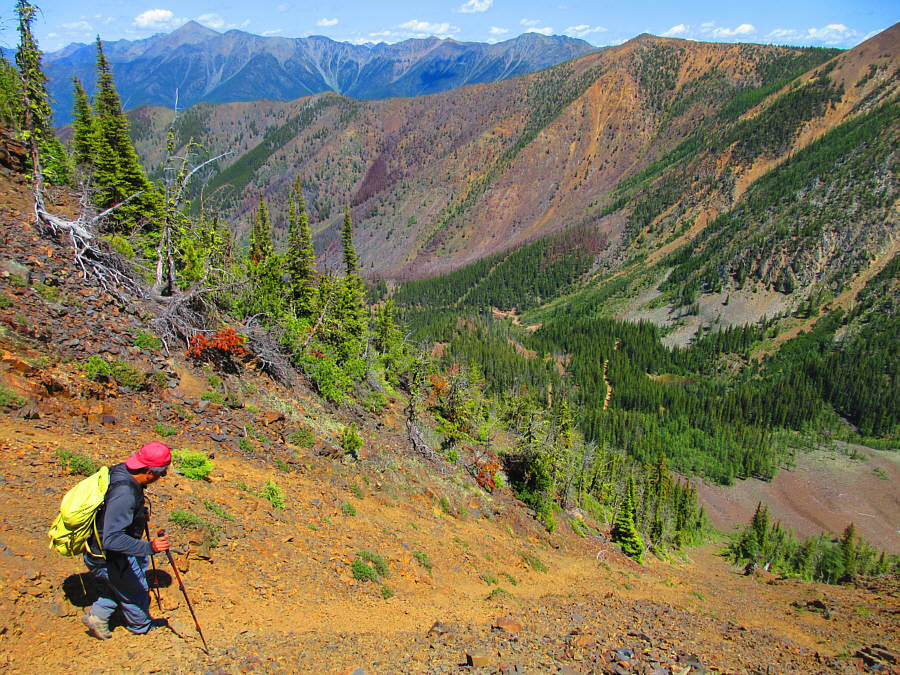
This is looking back down into the basin from partway up the scree slopes. |
|
|
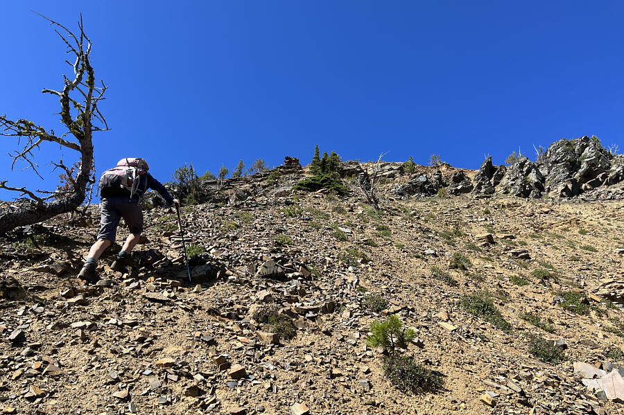
The terrain becomes steeper and treacherously looser as Zosia climbs higher. |
|
|
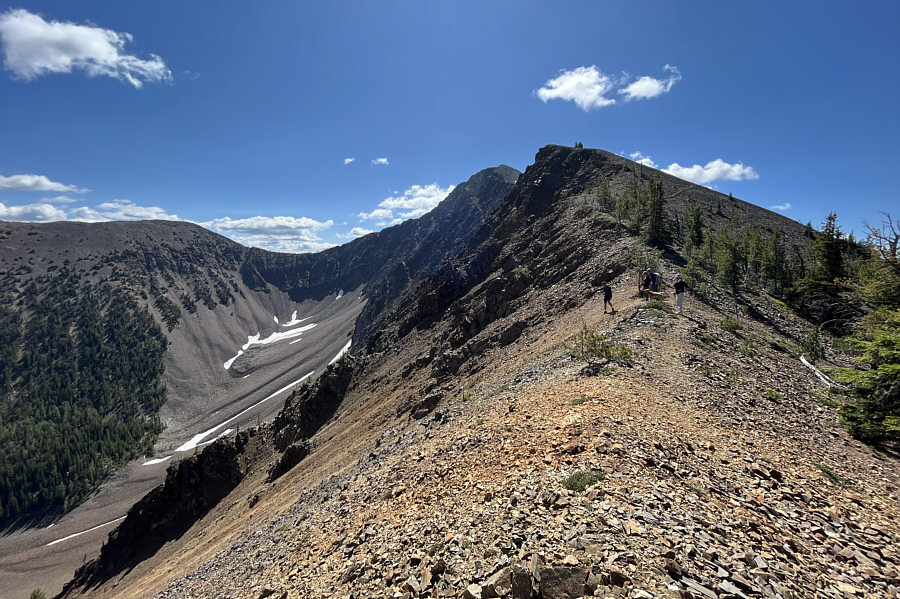
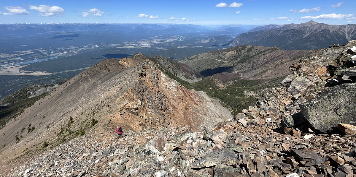
The group gains the northwest ridge of Tracy Peak. |
|
|
The group inadvertently follows a trail that dead-ends at the gully ahead. |
|
|
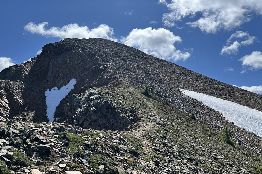
A beaten path runs up the summit block of Tracy Peak. |
|
|
Here is a look back at the top of Tracy Peak from the east end of the summit ridge. |
|
|
The view to the south is mostly dominated by Lakit Mountain (right), but also visible at distant left is Mount Fisher. |
|
|
In this view to the north, the most noticeable peak on the horizon is Teepee Mountain (left of centre). |
|
|
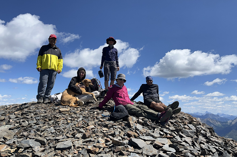
Sonny, Charlotte, Zoe, Zosia, Leslie and Eric relax on top of Tracy Peak (2654 metres), the highest summit of Mount Bill Nye. |
|
|
Zosia wanders out to the east end of the summit ridge. |
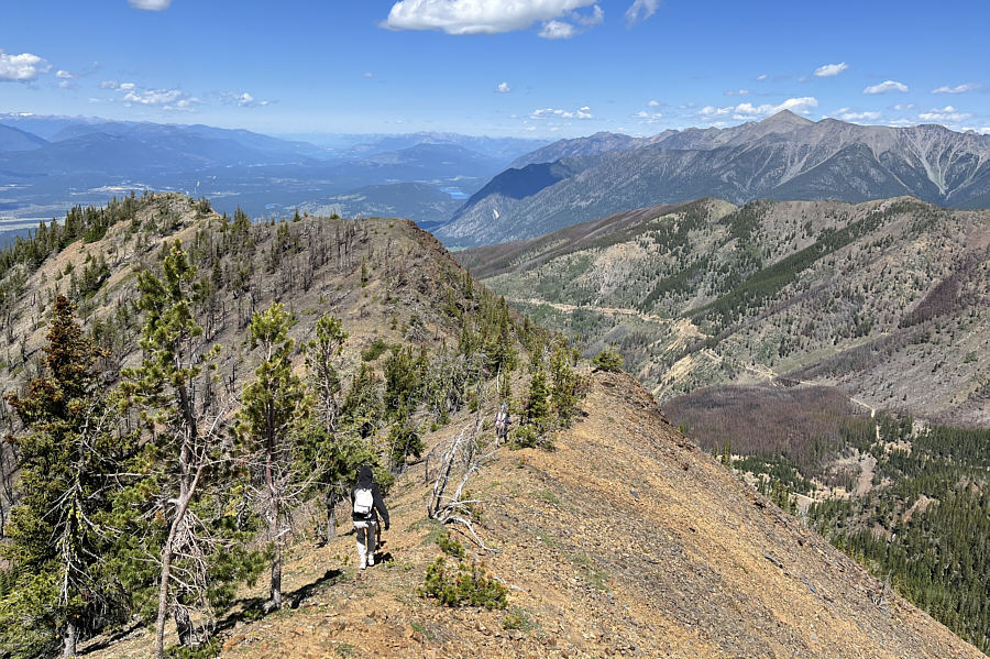
Leslie follows Eric down the northwest ridge.
 |
Charlotte follows Zosia looking for an easier place to drop off the ridge crest. |
 |
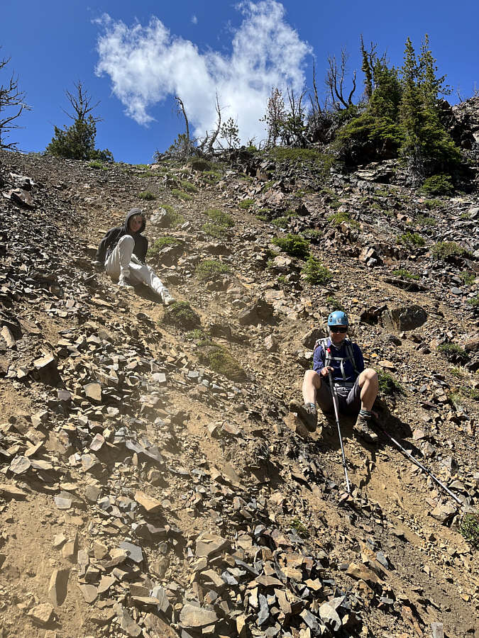
Sonny commits to descending this gully
full of very loose rocks. Photo courtesy of Zosia Zgolak |
 |
Charlotte and Zosia cautiously muddle their way down the upper part of the descent gully. |
 |
Charlotte is back on easier ground after descending the gully just left of centre. |
 |
Here is a last look at Tracy Peak in
the distance as Leslie shows off her pistol fingers while Sonny acts
like Fonzie. Photo courtesy of Zosia Zgolak |
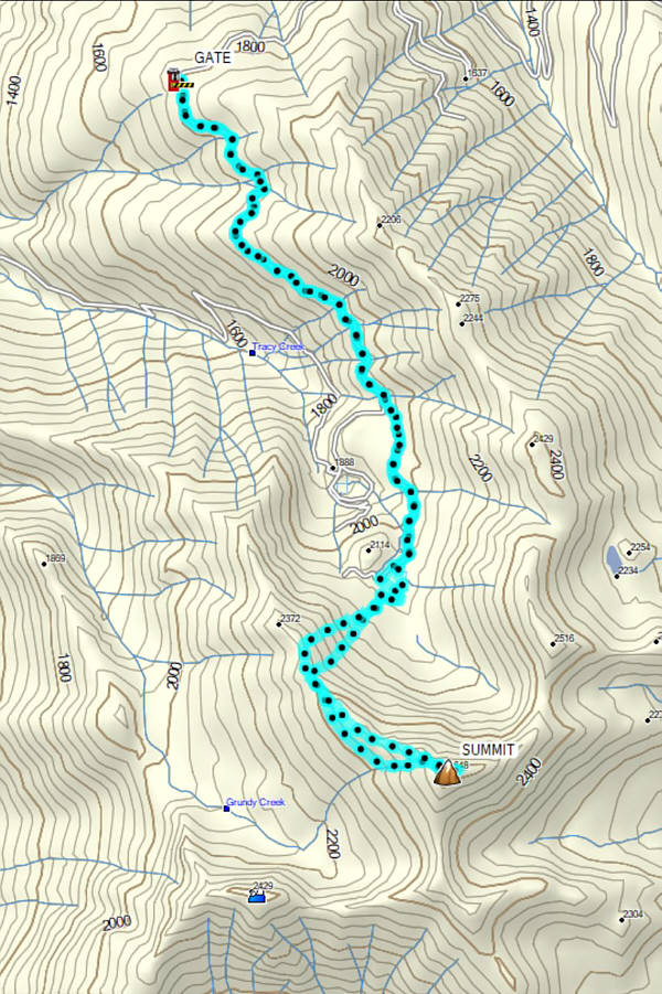 |
Total
Distance: 11.7 kilometres Round-Trip Time: 7 hours 14 minutes Net Elevation Gain: 856 metres |