BOU AVENUE
Interlakes Ridge And Barrier Lake Hills
Recovering from a recent traffic accident injury, I picked out some obscure and undemanding objectives for me and Zosia Zgolak to hike on 28 May 2023.  Our first objective was a low scrubby ridge located between Upper and Lower Kananaskis Lakes in Alberta's Peter Lougheed Provincial Park.  I have taken the liberty to call this objective "Interlakes Ridge".  Starting from the North Interlakes Day Use parking lot, we headed southward along the trail which circumnavigates Upper Kananaskis Lake.  Other than a brief detour to the water's edge, we stuck to the trail for about 1.4 kilometres before abandoning it to bushwhack up the south end of Interlakes Ridge.  The ascent was steep but short, and we were soon treated to some respectable views of both Upper and Lower Kananaskis Lakes.  Traversing northward on the crest of the partially-forested ridge, we crossed a few minor dips and likely passed over the indistinct high point somewhere along the way.  After reaching a viewpoint near the north end of the ridge, we plunged down a steep forested slope to connect with the same trail we started on.  Some careful route-finding is necessary here to avoid some precipitous drop-offs.  Once we regained the trail, we were left with a short walk back to the parking lot.
Great views already right at the start!

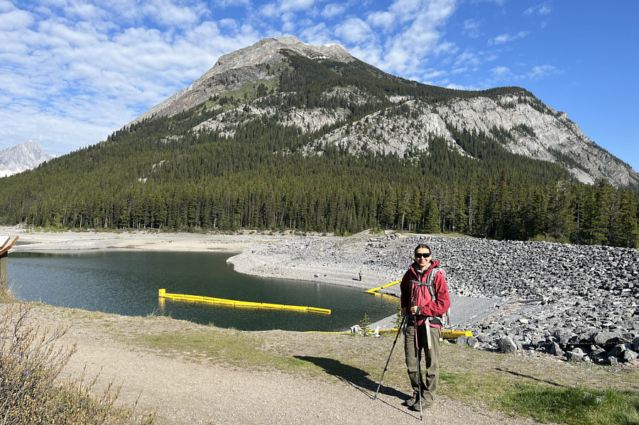
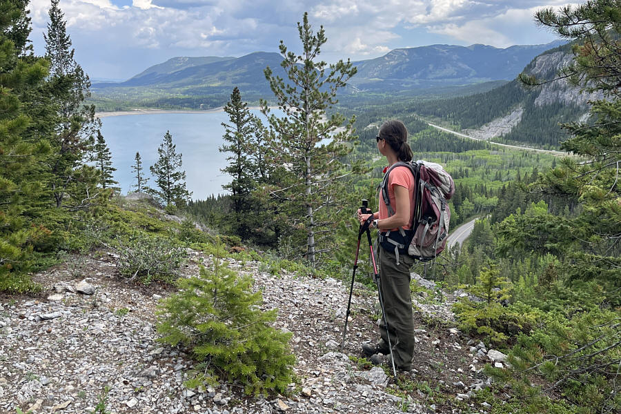
Zosia begins hiking near the dam at the outlet of Upper Kananaskis Lake.  In the background is Mount Indefatigable.

A good start with easy walking!

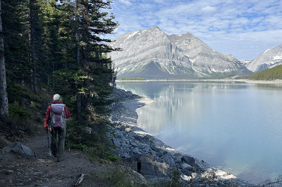
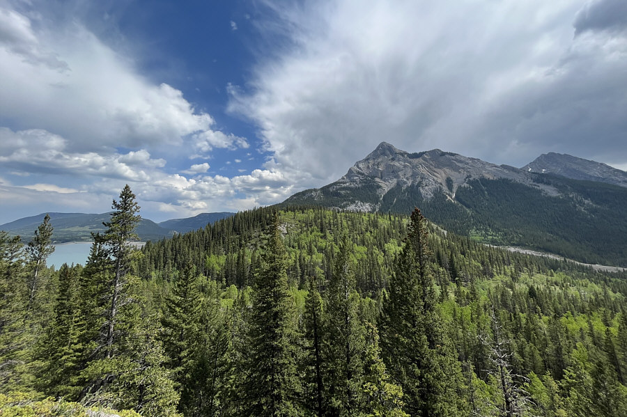
Mount Lyautey is readily seen across Upper Kananaskis Lake as Zosia follows the lakeshore trail.

Not bad.

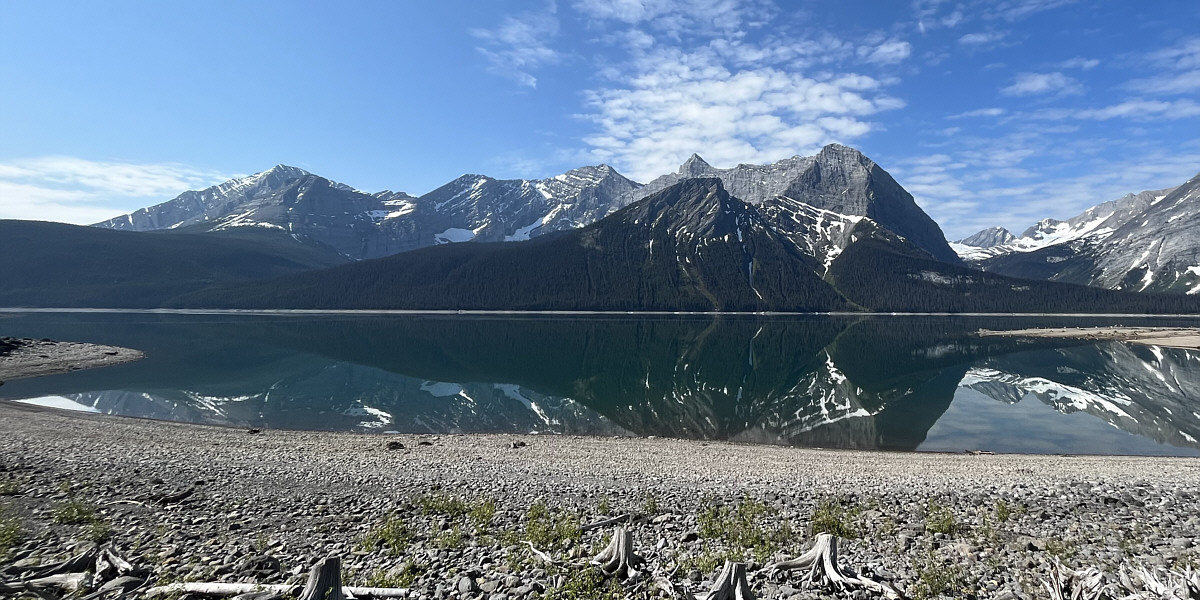
Mount Lyautey is reflected in Upper Kananaskis Lake.  Also visible at distant right is Mount Putnik.


The Turret is also visible but difficult to discern in front of Mount Fox.

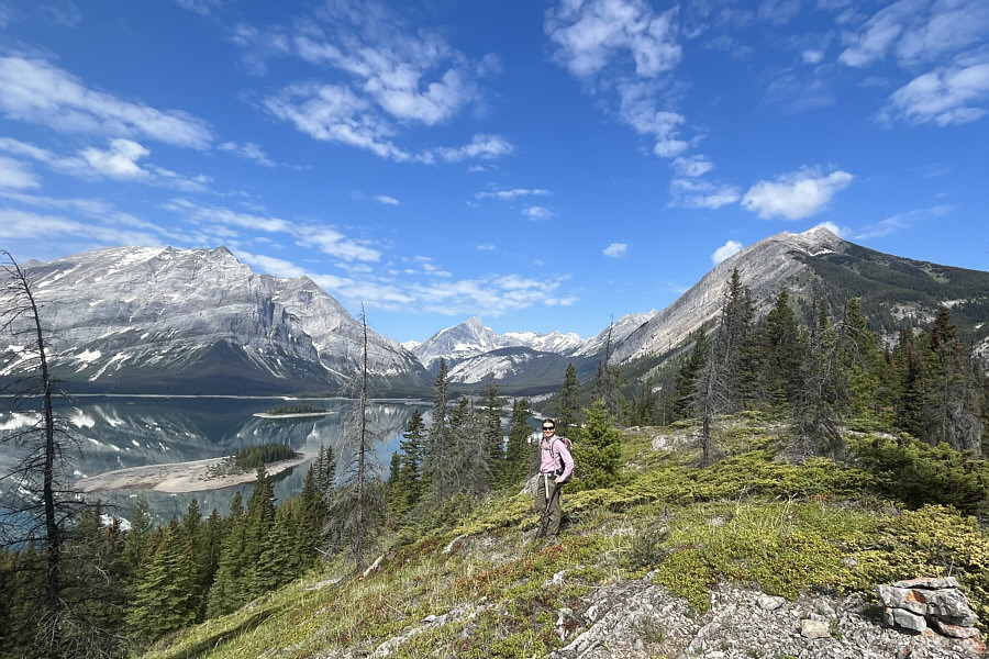
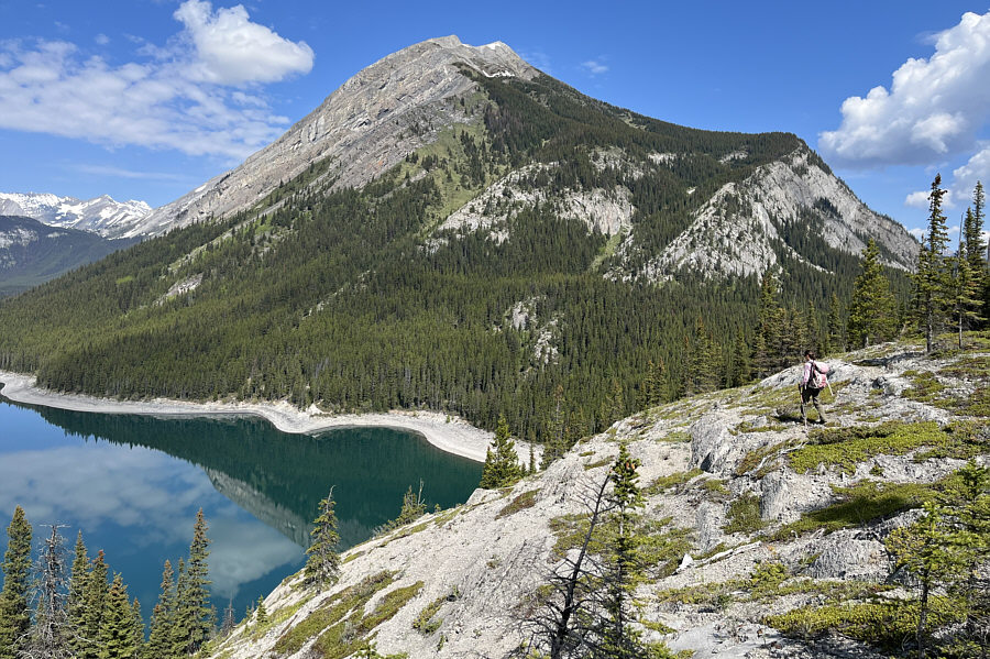
Visible to the south are Mount Fox (far left), Mount Foch (centre), Mount Sarrail (pointy peak), Rawson Ridge (in front of Mount Sarrail), and Warrior Mountain (distant right through gap).


This is after most of the short-lived hard work has been done. Zosia climbs up the south end of Interlakes Ridge.
Those trees look ready to be knocked down by a strong wind or chainsaw... 
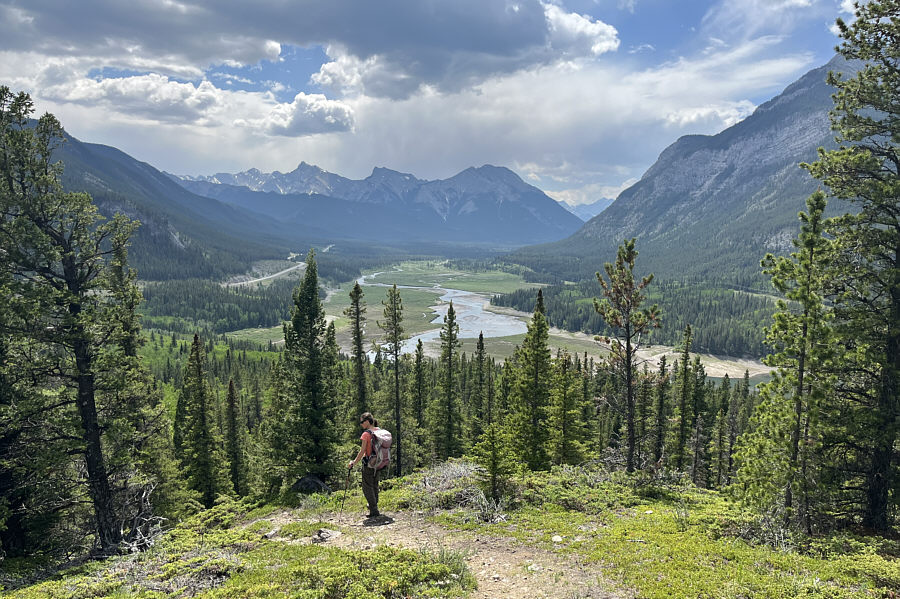
A few trees mar what is otherwise a splendid view of Lower Kananaskis Lake.
The cairn at bottom right does NOT mark the high point! The high point (1815 metres) of Interlakes Ridge is not well-defined and is located somewhere beyond the trees at right.

Island-hopping, anyone?

Some of the islands in Upper Kananaskis Lake are more obvious from the ridge top.  The one that is further away has a name--Hawke Island.


All we need are some red Adirondack chairs! Zosia arrives at a viewpoint near the north end of the ridge.  Once again, Mount Indefatigable dominates the background.
This viewpoint would be unbelievably popular if it could be accessed by a good trail. 
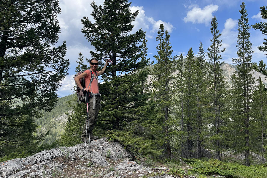
Zosia and Sonny give thumbs up to this viewpoint.
It's better to descend here than to come up this way! 
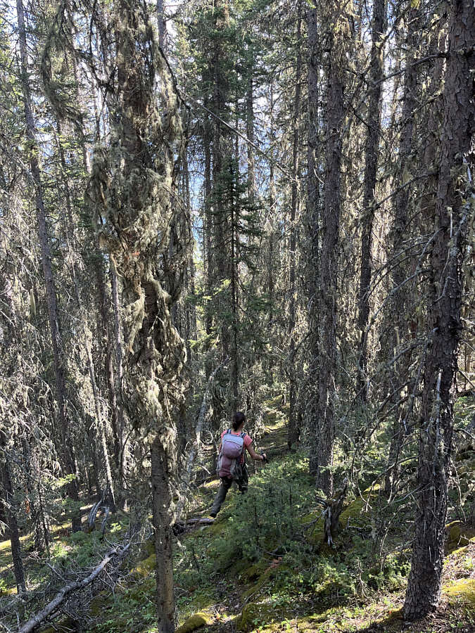
The descent of the north end of Interlakes Ridge is steep and requires some careful route-finding to avoid drop-offs.
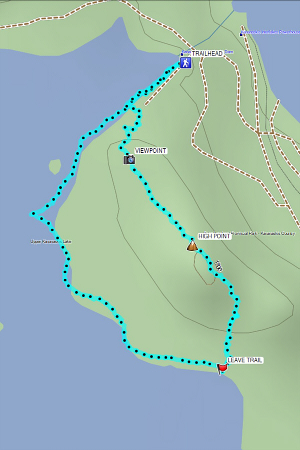
Great bang for your buck despite how short this hike is. Total Distance:  3.1 kilometres
Round-Trip Time:  2 hours 1 minute
Net Elevation Gain:  105 metres

GPX Data

For our second objective of the day, Zosia and I drove to the Barrier Lake Day Use area--not to be confused with the more popular Barrier Dam Day Use area--in Alberta's Bow Valley Provincial Park.  There are two small hills here tucked between Highway 40 and Barrier Lake, and both are easily accessed by good trails starting from the day use parking lot.  Curiously, someone on Peakbagger.com has whimsically named the higher west hill "Almond Brother" and the lower east hill "Almond Sister", but I have opted to refer to both collectively as "Barrier Lake Hills" which I think is more geographically meaningful.

Starting with the west hill (Almond Brother), Zosia and I almost immediately had some route-finding challenges.  After walking only a short distance from the parking lot, we came upon a T-junction marked by a sign with an arrow pointing to the right.  The correct trail actually goes left here, but we were enticed by a cairned route leaving the trail and heading directly up the hillside.  Easy to follow at first, the cairned route becomes increasingly steeper and looser higher up as it bypasses some surprising cliff bands.  Fortunately, this unpleasant stretch of off-trail hiking was short-lived, and we were soon wandering around the forested top looking for the highest point.  We eventually stumbled onto the end of the access trail where there is a piece of flagging tape supposedly marking the true high point.  From there, we simply followed the trail down the south side of the hill and eventually returned to the confusing sign near the beginning.  After making a brief stop in the parking lot, we took the signed interpretive trail zigzagging up the east hill (Almond Sister).  We had no route-finding difficulties here as the trail is pretty easy to follow up to a couple of viewpoints near the east end of the hill.  There is also an option to take a short detour for a view of the west hill.  When we had our fill of viewpoints, we simply retreated down the same trail to the parking lot.
Or go straight into the bush and follow cairns. 
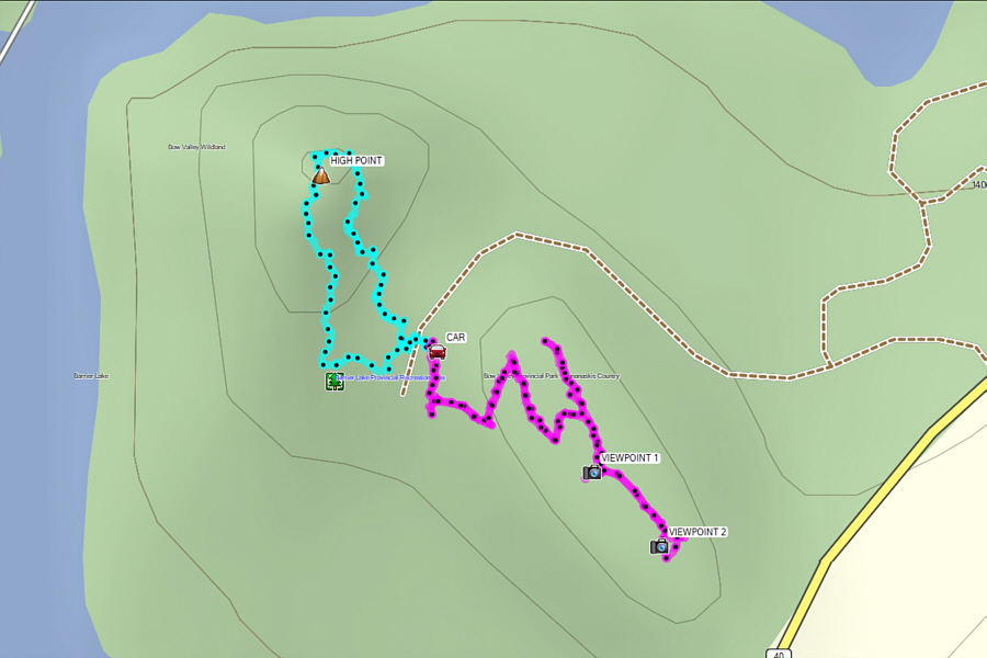
Near the start of the hike up the higher of the two Barrier Lake Hills is this confusing sign at a T-junction.  The correct trail that leads to the top of the hill actually goes in the opposite direction of the arrow.
Already more views than I was expecting!

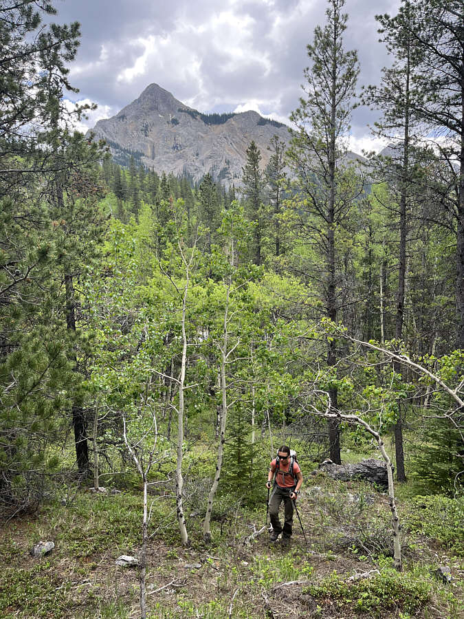
Mount Baldy is visible in the distance as Zosia follows the more direct route up the west hill.

I thought this was supposed to be an easy hike!

The route becomes steeper as it circumvents this cliff face to the left.

Take in the views while you can on this hike!

Zosia catches a glimpse of Barrier Lake from this opening near the top of the west hill.

A few more trees need to chopped down here...

The high point of the west hill (1530 metres) is marked with some flagging tape.

I should scramble this peak one of these days...

Mary Barclay's Mountain is visible to the southwest from this opening in the trees not far from the high point.

Unexpectedly nice!

The south side of the west hill grants some far-reaching views of the Kananaskis River valley.

For some reason, the east hill is apparently more popular than the west hill.

This is looking toward the east hill from partway down the west hill.  There is also a more comprehensive view of Mount Baldy from here.

The sign calls this "Barrier Lake Trail".

Zosia climbs stairs at the start of the trail going up the east hill.

Don't bother going any further than this for the detour.

A short detour from the main trail leads to this view of the west hill (left) and the south end of McConnell Ridge (right).

Mount Baldy towering over anything sounds strange!

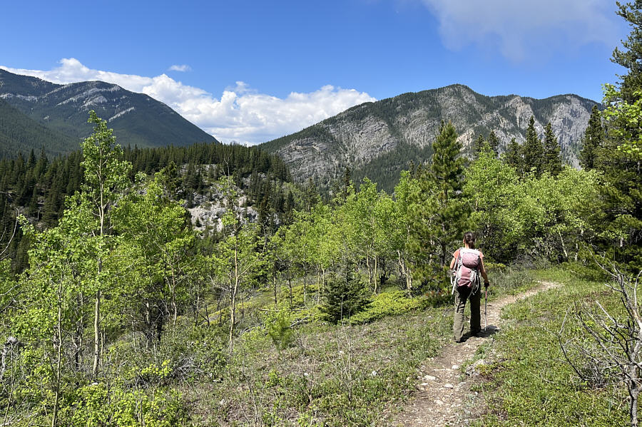
Mount Baldy towers above the trail along the crest of the east hill.

Similar to the one from the west hill but with less trees in the way!

Here is the view to the southwest from the first viewpoint on the east hill.


I guess it beats not seeing the lake at all!

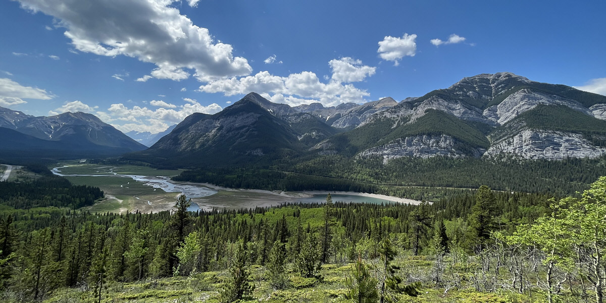
The second viewpoint on the east hill grants a more complete view of Barrier Lake.

A worthwhile hike for both babies and grannies! Total Distance:  2.9 kilometres
Round-Trip Time:  1 hour 23 minutes
Cumulative Elevation Gain:  128 metres

GPX Data