BOU AVENUE
Mount
Frazier
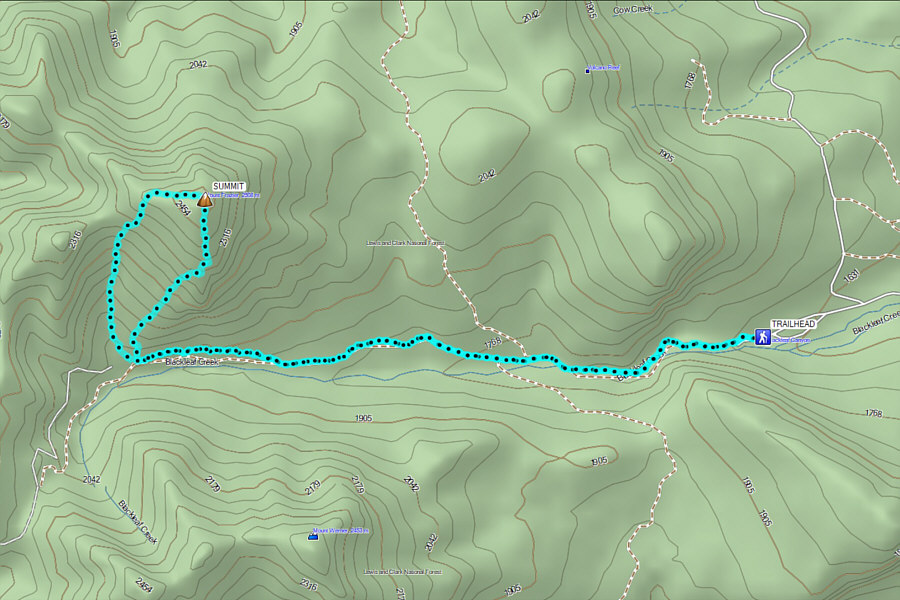
Wrapping up a long three-week road trip, Zosia Zgolak and I scrambled up Mount Frazier located on the eastern boundary of Montana's Bob Marshall Wilderness on 25 August 2024.  Mount Frazier's formidable east face makes the mountain look insurmountable, but the gentler west side grants some non-technical options for reaching the summit.  I got the inspiration for this trip from Steve Sheriff's entry in Peakbagger.com, and his GPS track would help guide us up the mountain.

From the community of Bynum, go north on 3 Street North which soon bends westward to become Blackleaf Road (2WD gravel).  Ignoring all side roads, drive 21.0 kilometres and turn left at a junction (straight is Evan Campbell Road).  Drive 1.6 kilometres and keep straight at a junction with Knowlton Road.  Drive 8.3 kilometres to road's end at the trailhead (48.00923, -112.70898; vault toilet).  A high-clearance vehicle is recommended for the last few kilometres before the trailhead.

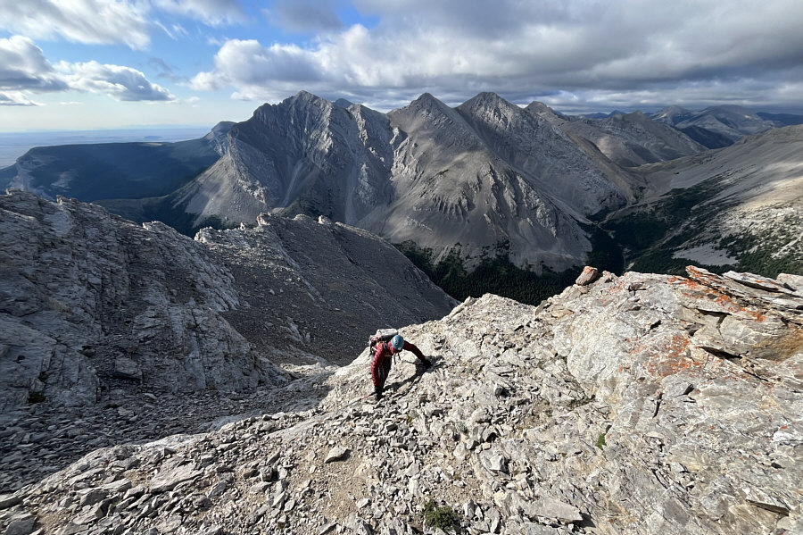
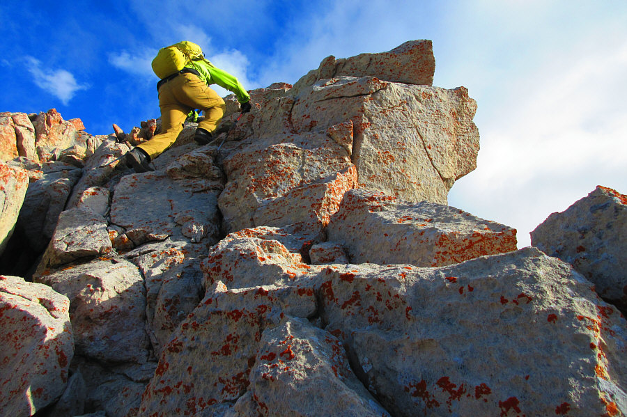
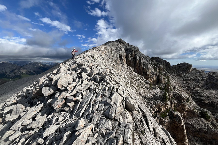
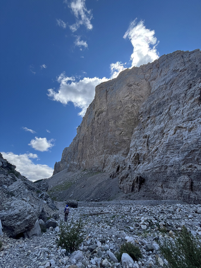
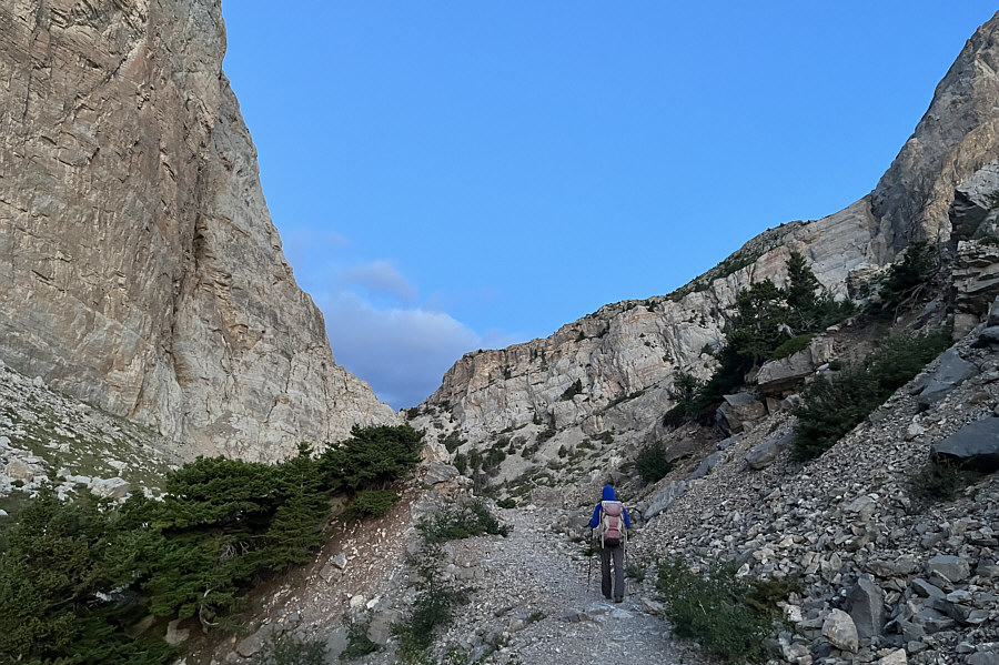
Zosia and I started our approach with a hike through Blackleaf Canyon, a popular rock climbing area.  Some of the rock walls here soar over 400 metres above the canyon floor.  Beyond the canyon, we settled into a long but easy hike westward along the north bank of Blackleaf Creek.  About four kilometres from the trailhead and just before crossing a major drainage on the southwest side of the Mount Frazier, we abandoned the trail and began a very steep and grueling off-trail ascent aiming for the mountain's south ridge.  This route is mostly Class 2, but higher up, there are some sections that require some hands-on Class 3 scrambling.  Good route-finding is also helpful to avoid more technical or looser terrain.  The angle of ascent eventually eases, and we simply worked our way up the path of least resistance for the remainder of the summit ridge.

For our descent, Zosia and I continued to follow Sheriff's track which descends the west ridge and then plunges down the aforementioned major drainage.  This allowed us to lose a lot of elevation quickly by scree surfing the upper half of the drainage.  We had to be a little more careful with our footing as we descended the lower half of the drainage, but the terrain is not technically difficult.  Eventually, we intersected our approach trail along Blackleaf Creek nearly at the same spot we left it, and turning left, we easily hiked back to the trailhead without further issues.
It can be a wind tunnel here on windy days! Zosia hikes through Blackleaf Canyon to start the trip.
Stunning sight!

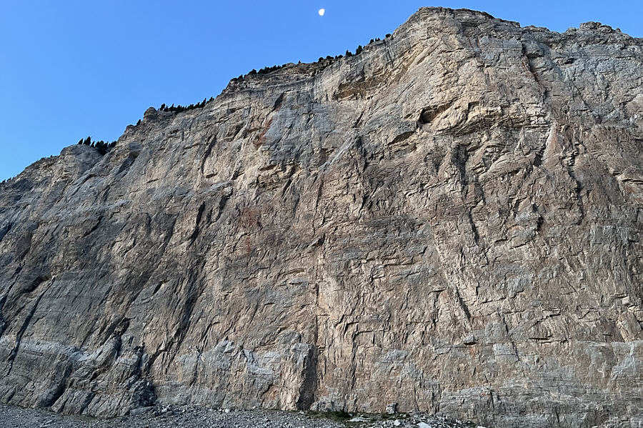
The walls of Blackleaf Canyon soar high above the valley floor.
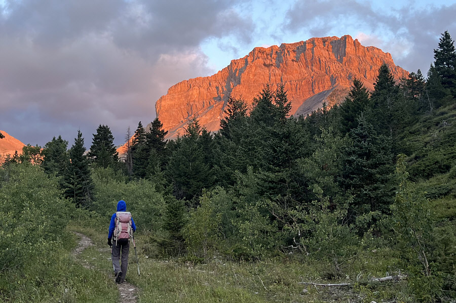
How the heck are we gonna get up there? The east face of Mount Frazier appears to be on fire in the morning sunlight.

Easy street...except for the occasional wind gust!

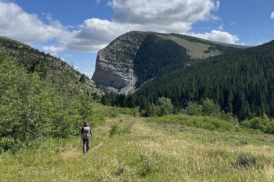
The terrain opens up as Zosia travels further up Blackleaf Creek valley.
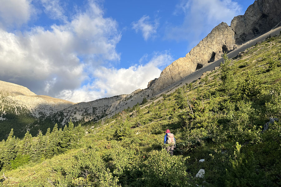
 

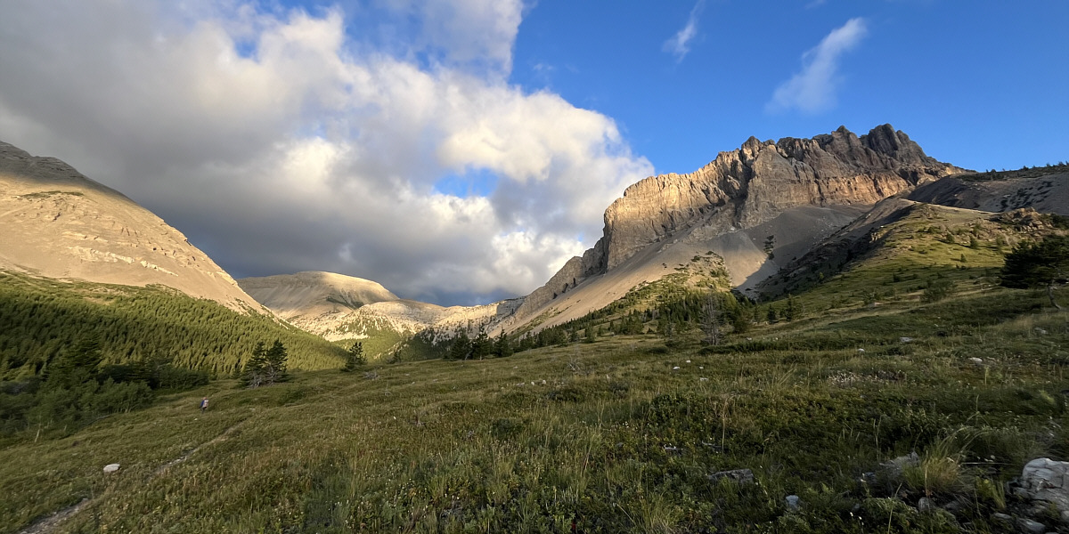
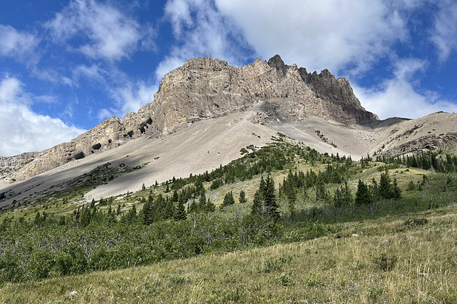
Still doesn't look like any easy way up here! Zosia passes under the south end of Mount Frazier.
Prepare for a long uphill grind!

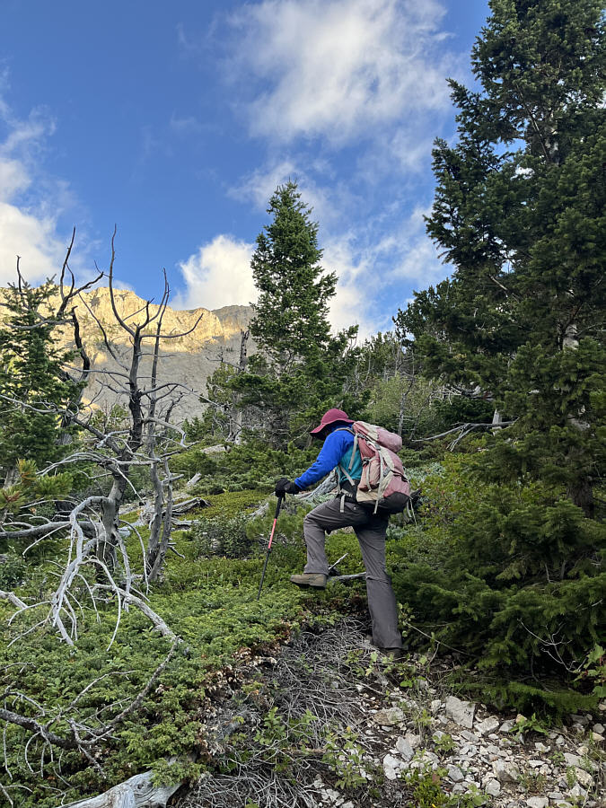
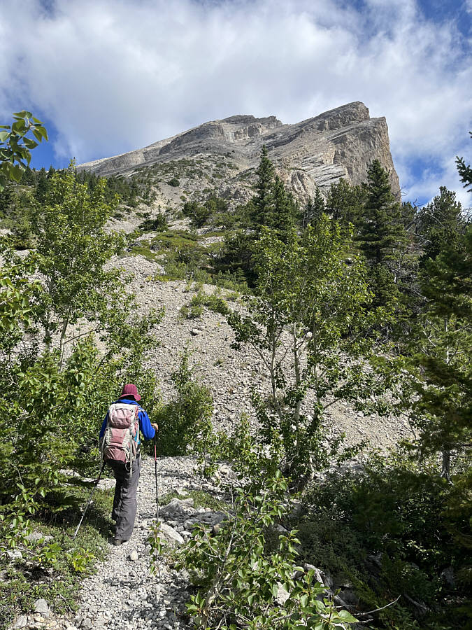
Zosia abandons the trail here and makes her way past some light bush.

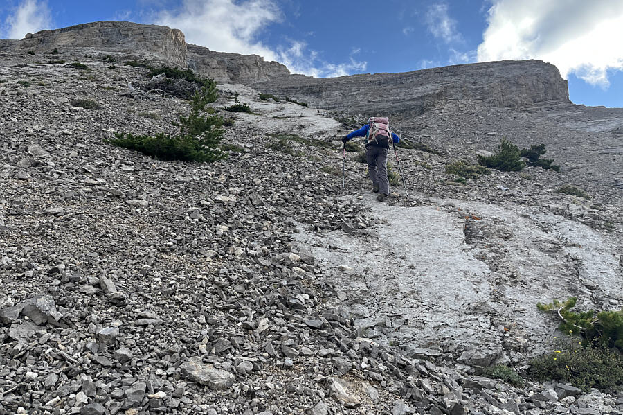
Think happy thoughts (sex?) while grinding uphill! The ascent to the south ridge of Mount Frazier is steep.  Occasional slabs help alleviate the drudgery of treadmill scree.

Have faith--there is a non-technical route here!

Zosia approaches some daunting cliffs guarding the south ridge.
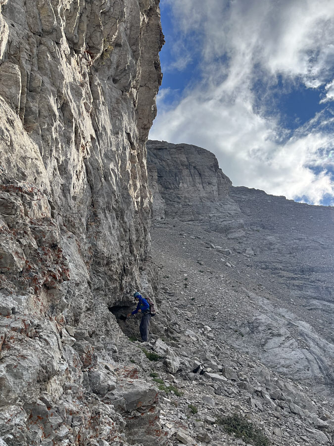
 

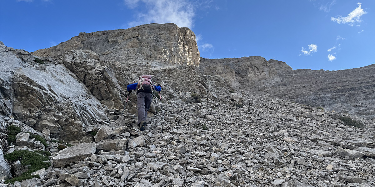
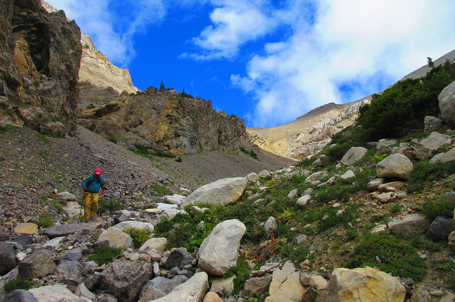
Lots of loose rocks here--feels just like the Canadian Rockies! The route skirts along the base of the big cliffs.
Steeper than it looks!

Zosia scrambles up a weakness in the cliffs.  To the south is Mount Werner (left of centre).

Fun stuff! Sonny scrambles along the crest of the south ridge.

Photo courtesy of Zosia Zgolak

We got this! The angle of ascent eases as Zosia walks up the remainder of the summit ridge.
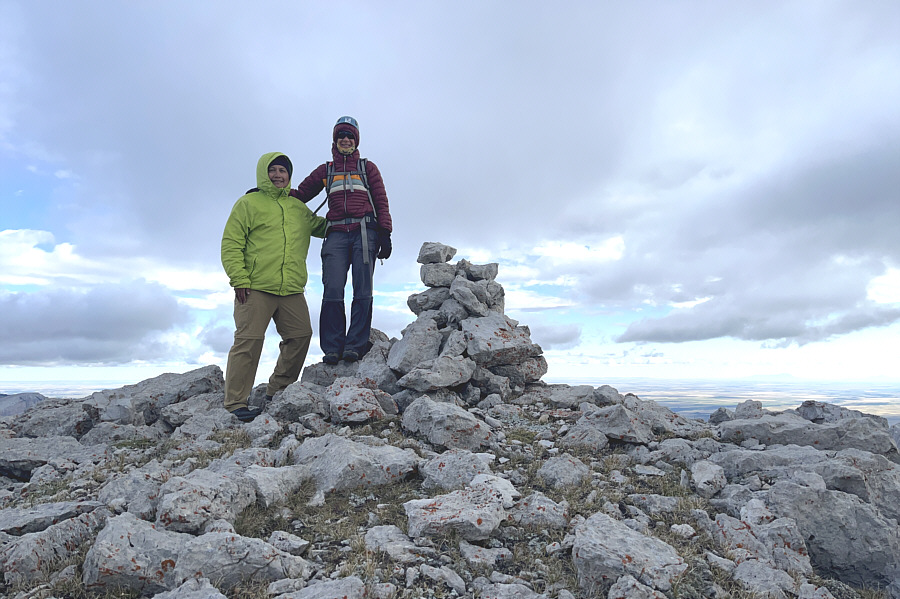
Too bad about the cloudy weather on top!

Sonny and Zosia stand on the summit of Mount Frazier (2535 metres).

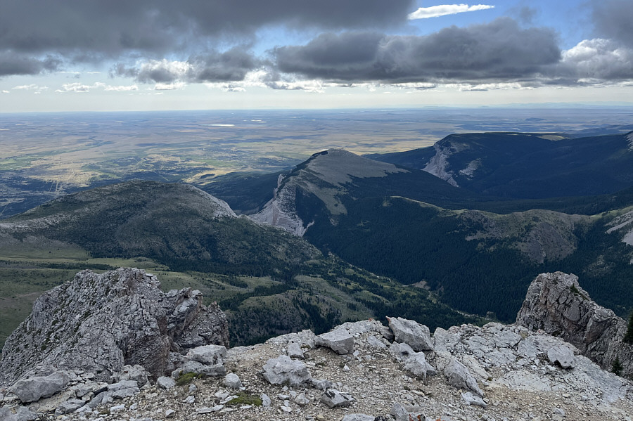
Doesn't look nearly as impressive from here! Here is a look back at Blackleaf Canyon (left of centre) to the east.

Glad we climbed that the previous day and not this day!

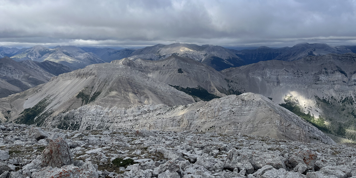
The top of Mount Wright (centre horizon) is obscured by clouds in this view to the southeast.
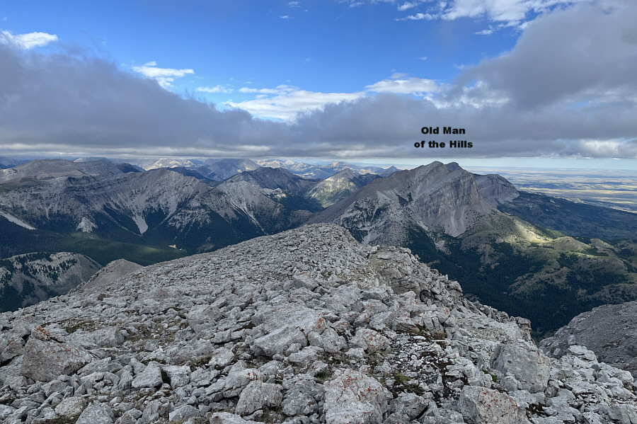
 

This ain't that day! On a clearer day, some of the peaks in Glacier National Park would be visible on the northern horizon.

Lotsa fond memories of exploring the Sweet Grass Hills!

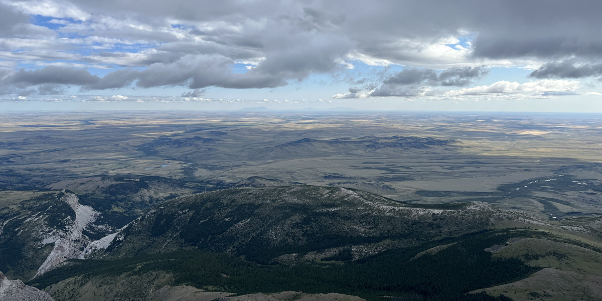
Visible at centre on the northeast horizon are the Sweet Grass Hills--West Butte, Gold Butte, and East Butte complex.
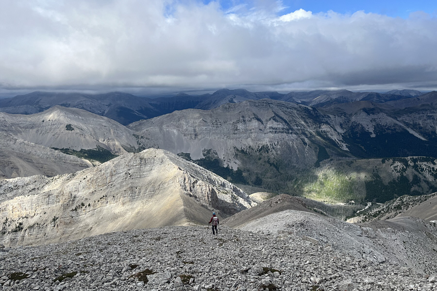
 

Just a lot of ankle-breaking rocks here! Zosia descends the west ridge.
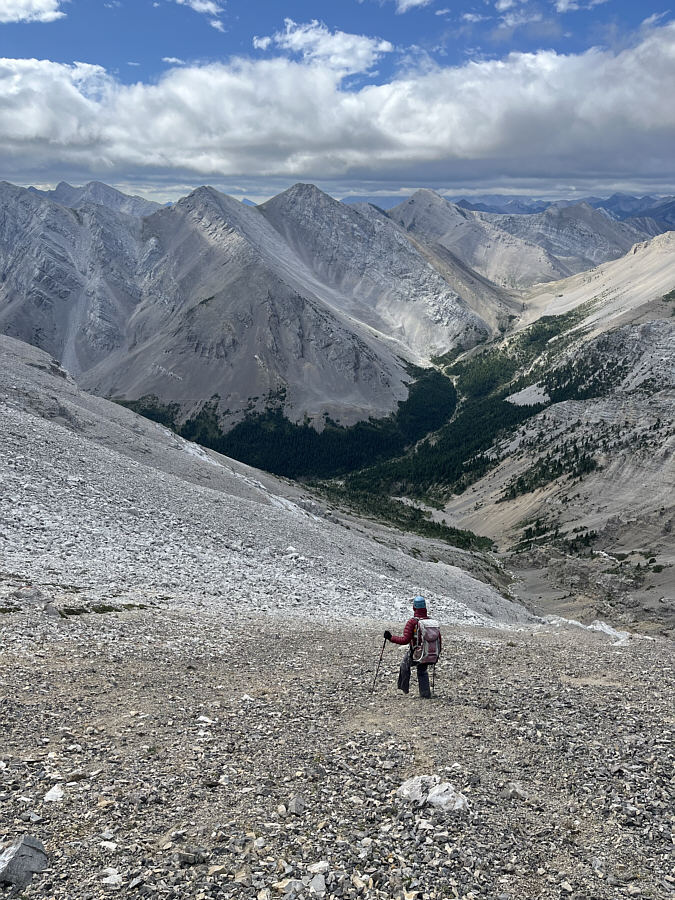
Tell the teacher we're surfin', Surfin' U.S.A.! Zosia loses elevation quickly by scree surfing down this drainage.
Too bad we couldn't scree surf all the way back to the trail! Sonny carefully picks his way over some rocks in the lower part of the drainage.

Photo courtesy of Zosia Zgolak

Thank you, Scott Sheriff, for the great GPS track! Zosia regains the trail near where she left it earlier.  Most of the ascent route to the south ridge is visible here.
We were just up there only about 1.5 hours ago! Here is one last look at Mount Frazier and its impressive east face.
Looks like a nice ski slope to the right! Zosia approaches Blackleaf Canyon on her hike out.
Very cool here...literally! The walls of Blackleaf Canyon are still awe-inspiring the second time around.
Fantastic scramble--highly recommended! Total Distance:  11.6 kilometres
Round-Trip Time:  7 hours 4 minutes
Cumulative Elevation Gain:  891 metres

GPX Data