BOU AVENUE
Pa Butte And Bald Hill
Kicking off a three-week road trip, Zosia
Zgolak and I ascended unofficially-named Pa Butte located just north of
Coleman, Alberta on 5 August 2024. Though not as high as many
surrounding peaks in the area, Pa Butte's prime location and open summit
grant unobstructed views in all directions when the weather is clear.
A somewhat bushy but fairly straightforward snowshoe route is described
by
Dave McMurray, but by doing this ascent in summer, we had the benefit
of snow-free conditions and a shorter approach.
From Highway 3 in Coleman, turn north onto 61 Street, and in a few
metres turn right onto 22 Avenue. Almost immediately, veer left
onto 23 Avenue which quickly winds uphill becoming 63 Street. Drive
northward for about 2.8 kilometres to cross under a power line
right-of-way and enter the McGillivray Staging Area (toilets available
here). Drive to the north end of the staging area and continue on
the road for about another kilometre to a turnoff to the McGillivray
Creek Youth Camp. There is space for parking opposite the turnoff,
and 2WD vehicles should park here since the road deteriorates
considerably beyond this point.
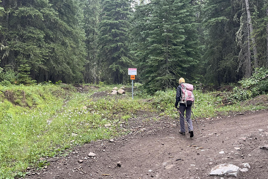
From the youth camp turnoff, Zosia and I continued along the road on
foot. We took a brief short cut through a reclamation zone
(prohibiting motorized traffic) before rejoining the road a little
further to the north. We then walked another two kilometres or so
before abandoning the road to plunge eastward into forest. Shortly
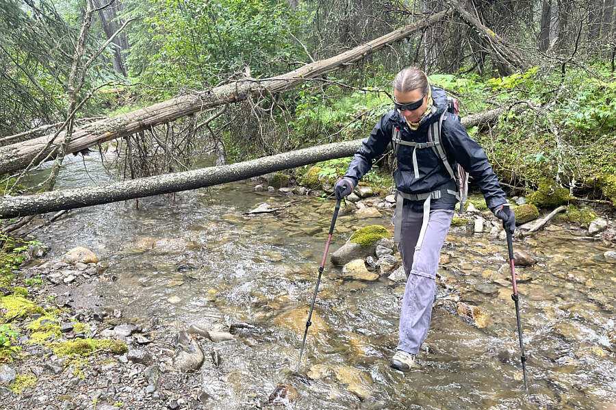
after leaving the road, we easily forded McGillivray Creek and then
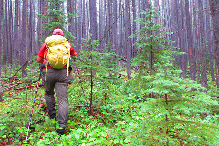
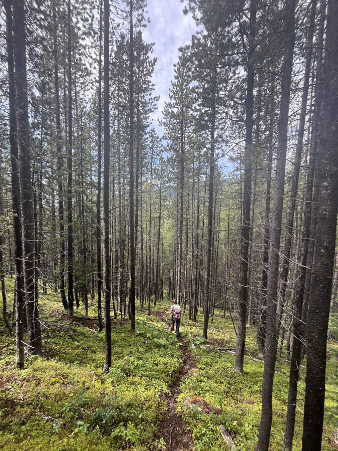
worked our way up a forested ridge. Despite some toothpick
deadfall, the bushwhacking was generally not bad, and we made steady
progress uphill. Unfortunately, the forest was still wet from the
previous day’s rains, and it did not take long before our shoes and pants
were soaked. Undeterred, we continued climbing and eventually broke
out of the trees onto a large talus slope. Ascending this slope was
straightforward, and we had no problems reaching the high point of Pa
Butte.While Zosia and I were
taking a break on the high point, we noticed a trail running
south into the forest and thought that it might be a good route to
descend. To reach the trail, we first had to drop down a steep
slope on the east side of the high point. The looseness of the
rocks on these slopes made the footing tricky, and we also spread out
side by side to avoid knocking rocks down on each other. Upon
reaching the trail, we followed it down into the forest but found that it
eventually turns eastward into the next valley. Luckily, we were
able to work our way back to the west and descend toward our approach
road by following game trails or simply bushwhacking when necessary.
We ultimately forded McGillivray Creek a second time, and after regaining
the road, we enjoyed an easy walk back to our starting point. Our
shoes and pants even dried out nicely by the time we returned to our
parked car.
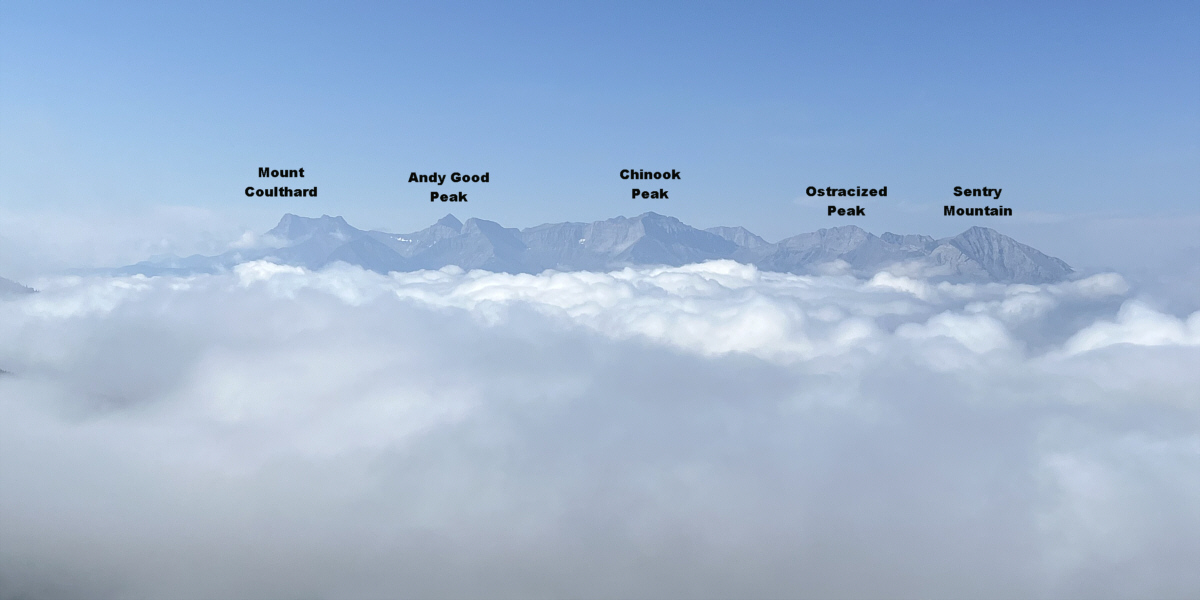
On this morning, a sea of clouds separates Pa Butte
from much bigger peaks to the southwest.
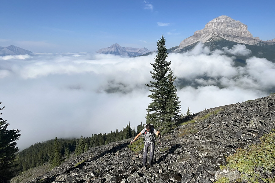
|
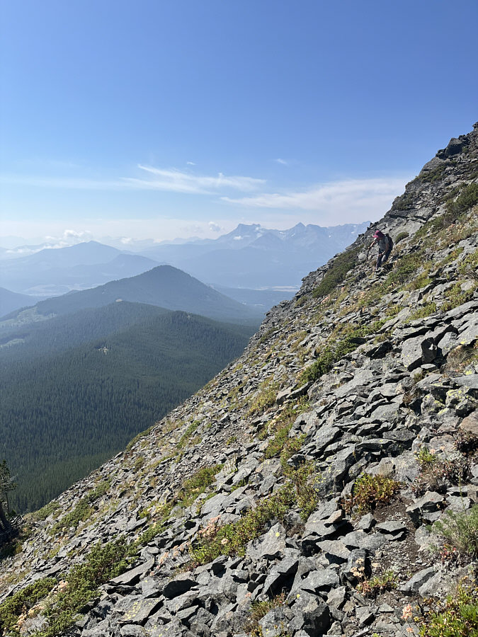
Zosia navigates a rocky slope on the
upper part of Pa Butte. |
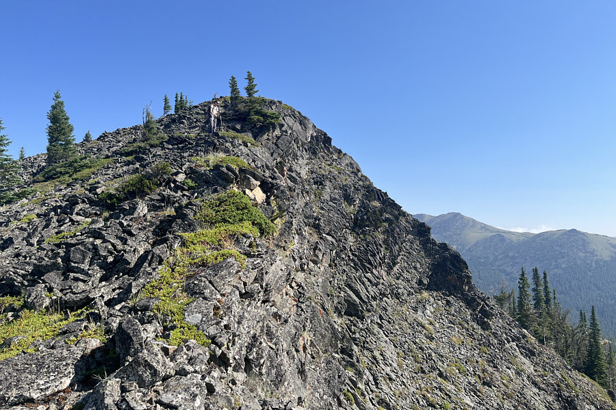
|
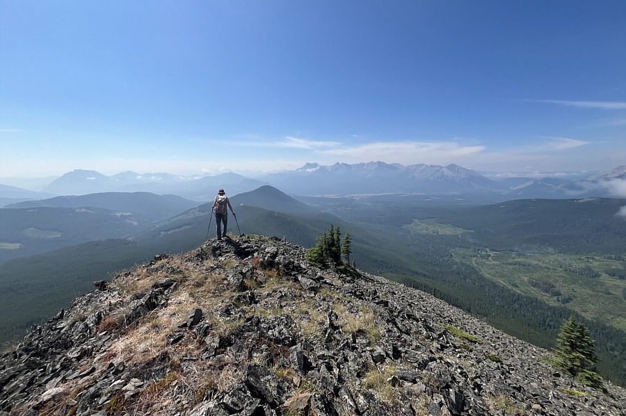
Zosia pauses briefly just before the
top to admire the surrounding scenery. |
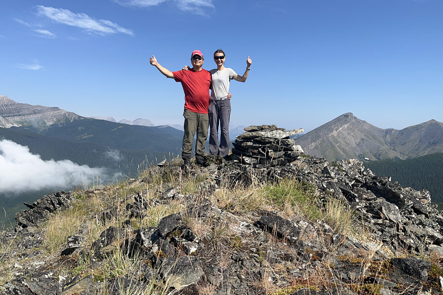
|
Sonny and Zosia stand on the high
point of Pa Butte (2117 metres). |
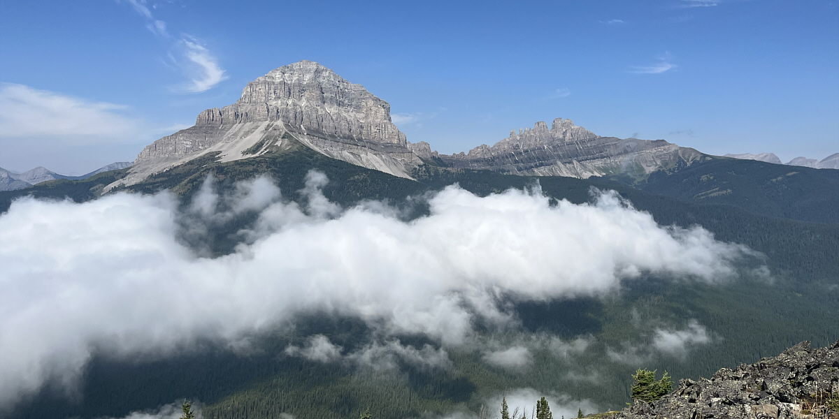
Crowsnest Mountain and Seven Sisters Mountain dominate the view to
the west.
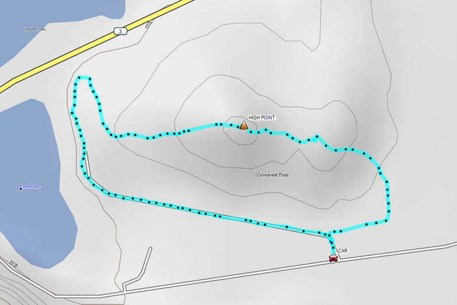
Before leaving the Crowsnest Pass region, Zosia and I made a
brief stop to tag a small but scenic bump tucked between Highway 3 near
Crowsnest Lake and the access road to Emerald Lake. Though
officially unnamed, the bump has recently been labeled as "Bald Hill" on
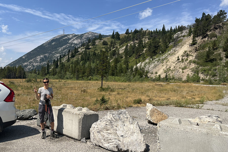
most online maps. Starting from a small pullout (49.62507,
-114.63133), we followed an old quarry road eastward for a short distance
before taking a trail which climbs steeply up the east end of the bump.
We easily followed this trail through a slight dip before reaching the
high point of Bald Hill. From there, we completed a traverse by
descending a dirt road on the west side of the bump which ultimately led
us to an old quarry and the same road we had started on further to the
east. A short walk from the quarry led us back to our starting
point to close the loop.
|
The hike up Bald Hill (right of
centre) is so short that Zosia is choosing not to bring any water or
gear other than her hiking poles. |
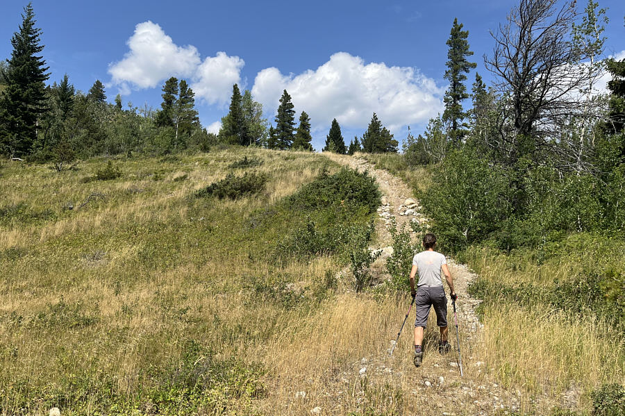
|
A convenient trail runs up the east end
of Bald Hill. |
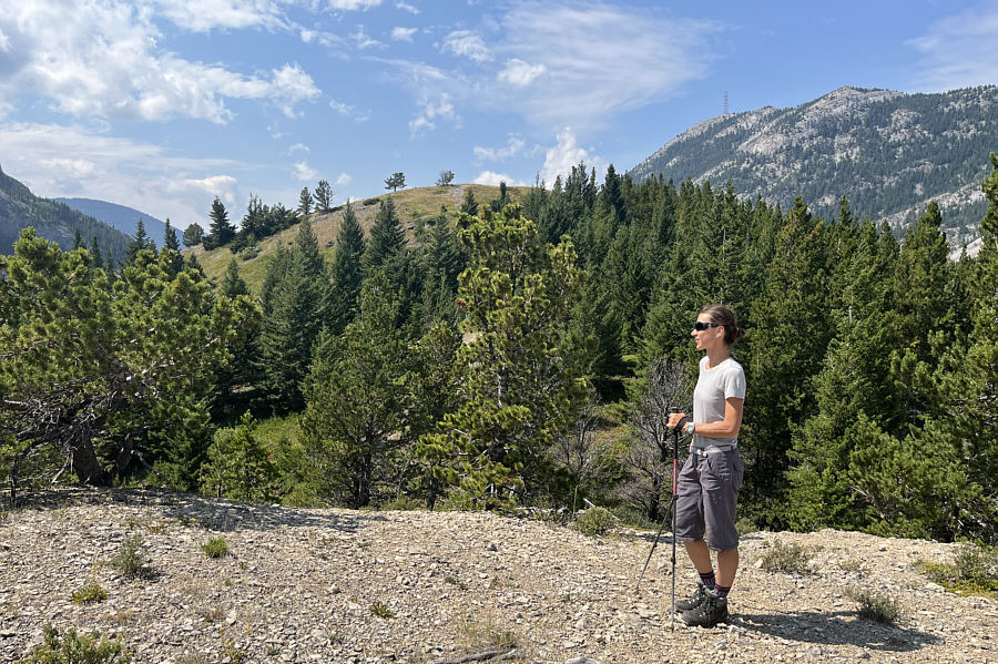
|
There is a slight dip before the very
top of Bald Hill just ahead. |
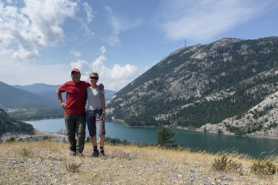
|
Sonny and Zosia stand on the high
point of Bald Hill (1465 metres). |
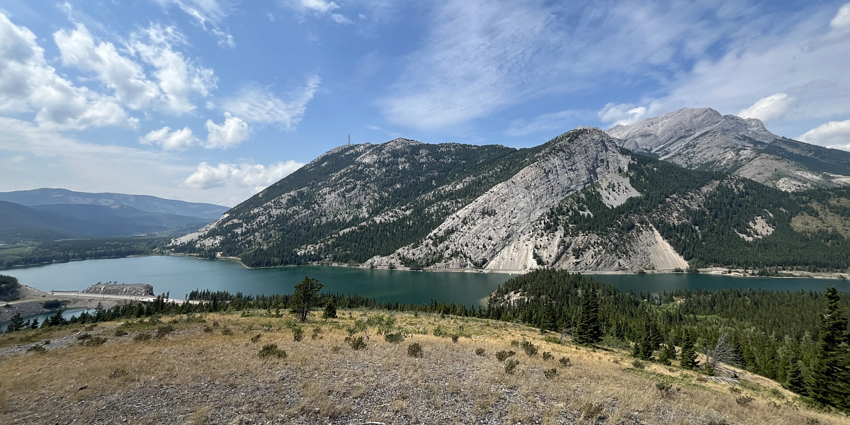
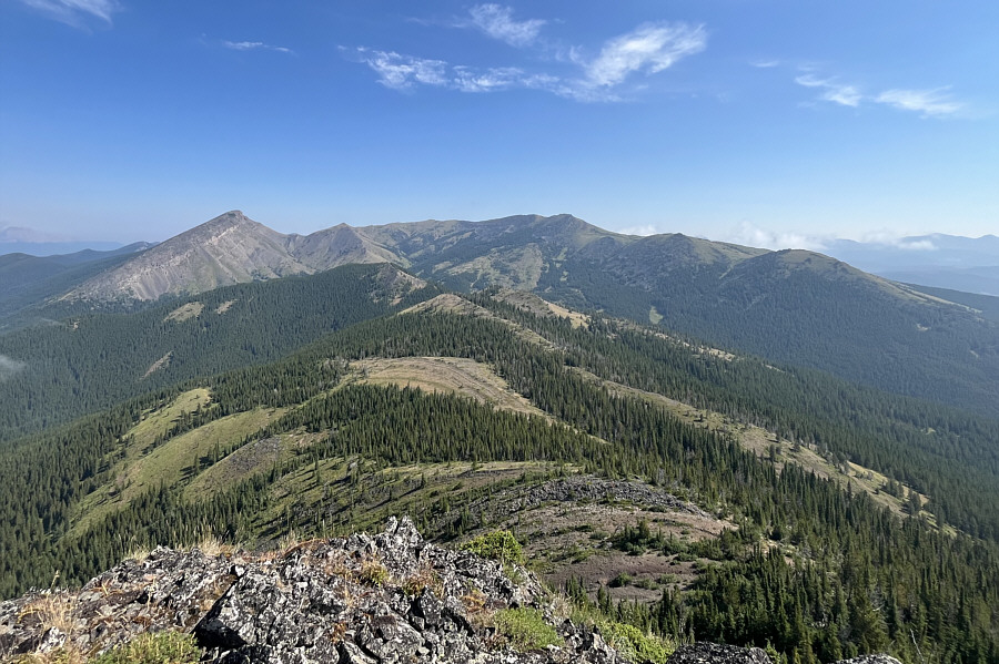
The top of Bald Hill grants a more comprehensive view of Crowsnest Lake,
Crowsnest
Ridge, and
Mount Tecumseh (far right).
|
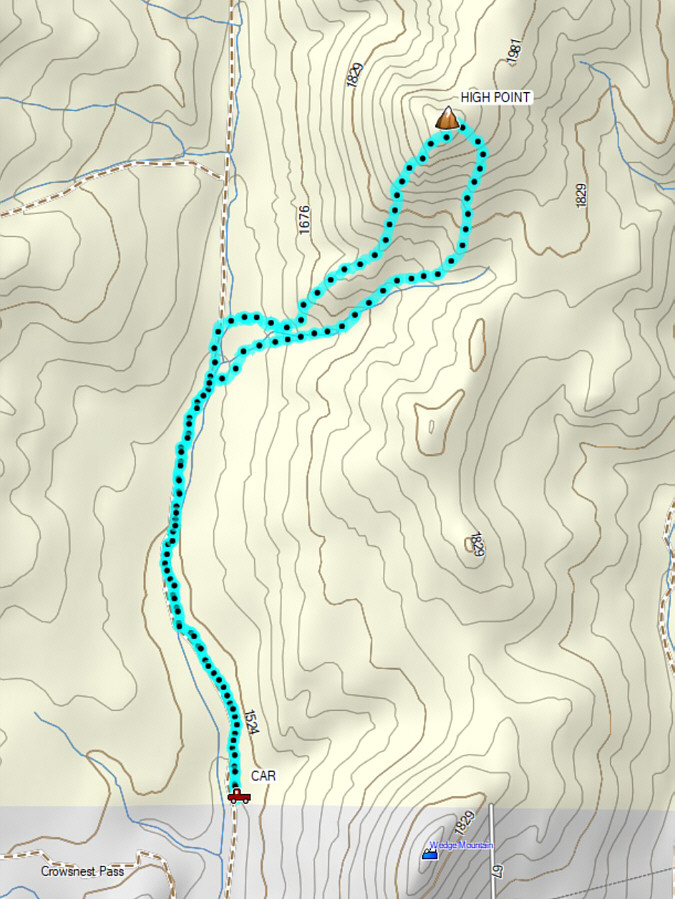
Total Distance: 2.1 kilometres
Round-Trip Time: 55 minutes
Cumulative Elevation Gain: 70 metres
GPX Data |