


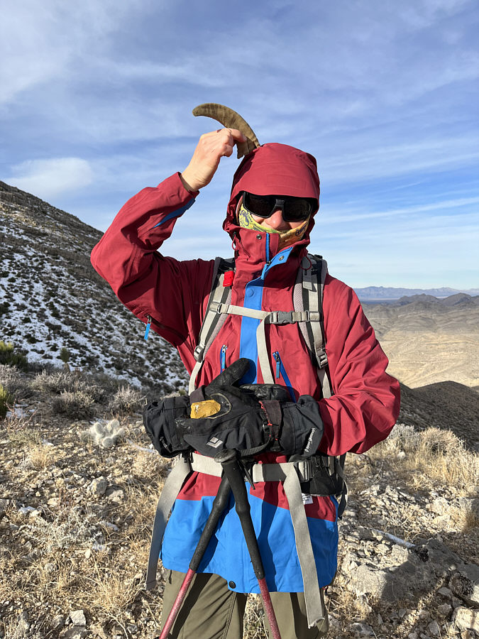
Zosia finds a fragment of a sheep horn.


|
|
Zosia gets ready to hike up Shenandoah Peak behind her. |
|
|
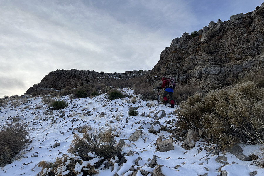
Zosia heads up the broad north ridge of Shenandoah Peak. |
|
|
The cliff band ahead can either be tackled head-on or circumvented to the left. |
|
|
Zosia finds a fragment of a sheep horn. |
|
|
Zosia hugs the cliff band looking for a weakness to scramble up. |
|
|
The top of Shenandoah Peak is barely visible above the ridge at left. |
|
|
The remainder of the ascent is a simple and pleasant ridge walk. |
|
|
An old glass Coca-Cola bottle has seemingly survived the elements on Shenandoah Peak. |

Zosia approaches the final rise before the summit.
 |
Sonny and Zosia stand on the summit of Shenandoah Peak (1788 metres). |
 |
The view to the south includes Devil Peak (dark, pointy peak at left), Little Devil Peak (dark, pointy peak left of centre), and Clark Mountain (right horizon). |
 |
The most notable mountain to the west is Kingston Peak (left of centre). |
 |
Snow-capped Charleston Peak and Potosi Mountain (darker bump right of centre) are visible to the north. |
 |
Zosia checks out a natural arch located a short distance west of the summit. |
 |
Wild horses roam in the valley north of Shenandoah Peak. |
 |
Here is a closer look at some of the
wild horses. Photo courtesy of Zosia Zgolak |
 |
As Zosia heads back to the car which is visible at right, a lone white horse wanders far from the rest of the herd. |
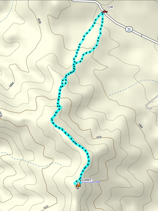 |
Total
Distance: 5.7 kilometres Round-Trip Time: 3 hours 46 minutes Net Elevation Gain: 341 metres |