BOU AVENUE
Mount Lougheed 2nd Peak

Despite a less than stellar weather forecast, Zosia Zgolak and I headed out to scramble up the second peak of Mount Lougheed in Alberta's Kananaskis Country on 9 September 2017.  Starting from the unsigned trailhead on the north side of Spencer Creek along Smith-Dorrien Highway, we hiked the well-defined trail which intersects the new High Rockies Trail near a bridge and then continues into the upper valley.  At one point, two young men passed us on the trail, and one of them asked if Zosia and I were also climbing Mount Sparrowhawk.  I replied that we were actually climbing Mount Lougheed and quickly added that, if they were indeed headed for Mount Sparrowhawk, they were "doing it the hard way"!  The two men were a bit shocked to learn that they were going up the wrong valley, but since they were already so far up the trail along Spencer Creek, I convinced them to switch their objective to Mount Lougheed.  The two men quickly disappeared ahead of us while Zosia and I continued hiking further into the valley.

Where the trail peters out near a small waterfall, we turned left and settled into a long slog up a very large and obvious scree slope.  We later picked up a beaten path going up this slope and then scrambled through some easy cliff bands to reach a bench.  We traversed to climbers' right along this bench until it was feasible to gain another long rubble slope leading to the summit ridge.  We ran into the two men again on this slope as they were on their way down.  They appeared to be ill-equipped for the bitterly cold wind high on the mountain, but they nevertheless seemed to be in good spirits as they passed by us.  Upon reaching the summit ridge, we finished the ascent with an easy walk to the summit cairn.

After taking a break on the summit, we briefly considered extending the trip to the third peak, but incoming rainy weather dampened our desire to continue.  Instead, we simply backed out the way we came and enjoyed a long and uneventful return to the valley and subsequently the trailhead.
Yep, not a great route for Mount Sparrowhawk here! LOL! 
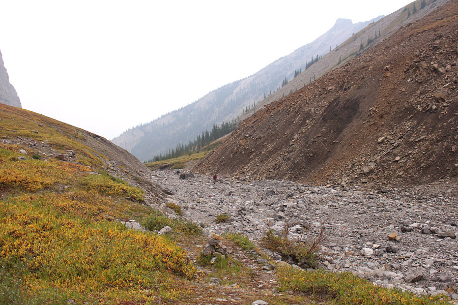
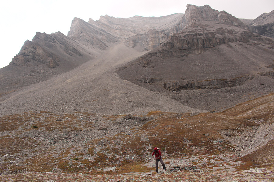
The great wall of Mount Sparrowhawk's north face can be seen at distant right as Zosia enters the upper valley of Spencer Creek.
Follow the cairns here. 
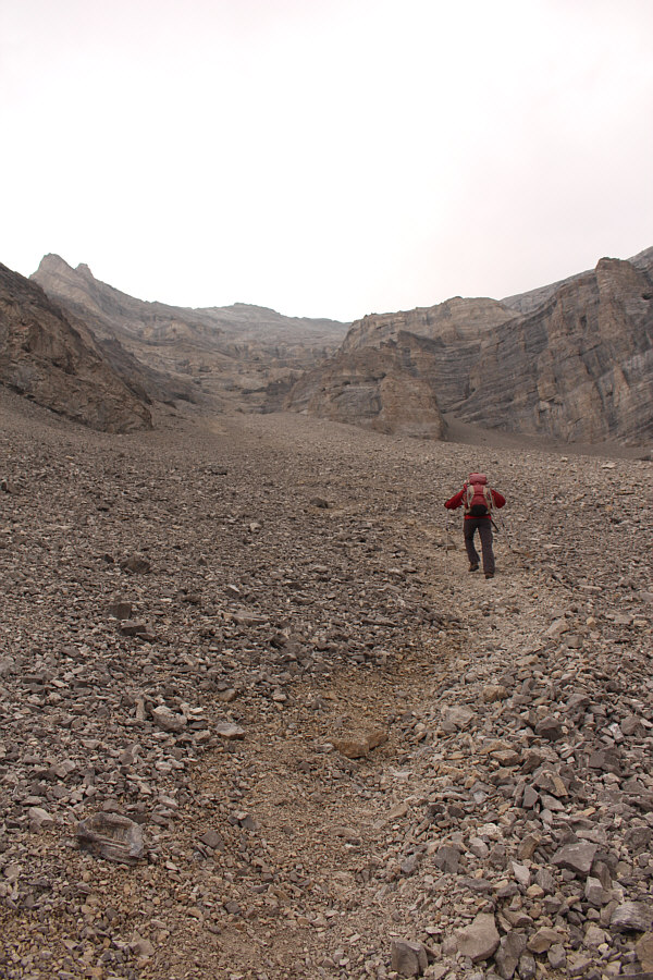
Zosia comes up a washed out section of Spencer Creek.
It's like walking on pavement here! 
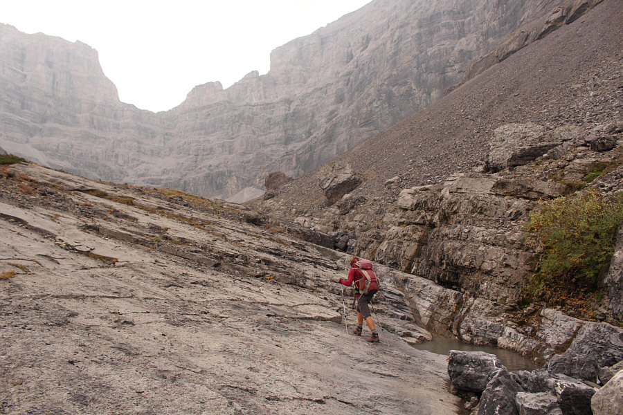
Spencer Creek appears to flow along a fault line at this point.
You can barely spot one of the two men ahead of us on the slope. Upon reaching a small waterfall, Zosia heads up the steep slope at left.
We are officially slogging...now! 
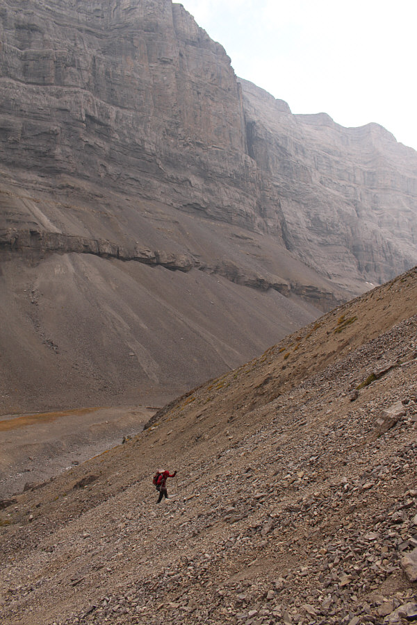
The scree slope here is quite steep and loose.
Has anyone ever skied this slope in winter? This large scree slope grants easy access to the upper mountain.
Let's keep grindin'! 
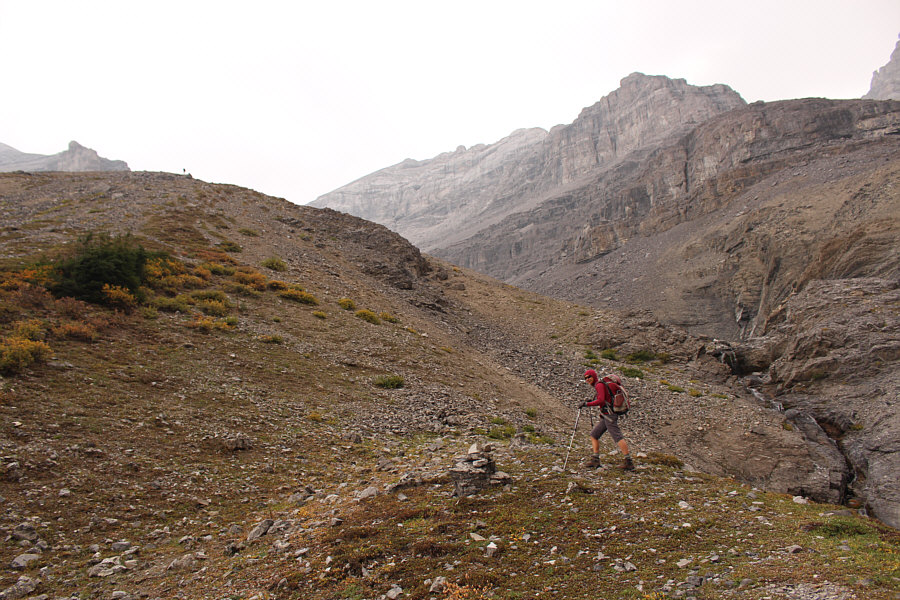
The footing is no better or worse in the beaten path which runs all the way up to the lower cliff bands.
This is the crux. Zosia ascends a weakness in the lower cliff bands.
For more challenge, go straight up the slabs! 
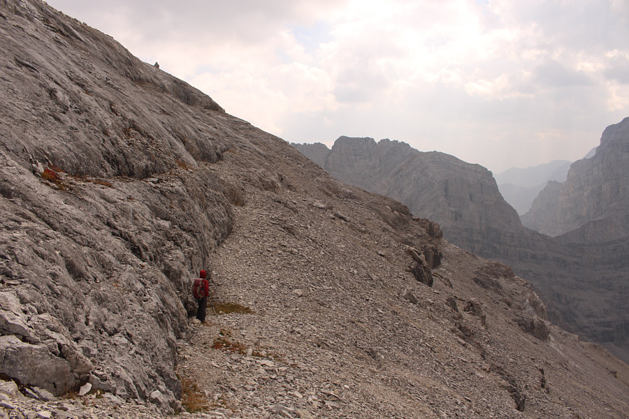
Zosia traverses eastward along this bench in order to circumvent the steep slabs to the left.

Sunshine...on my shoulders...makes me happy!

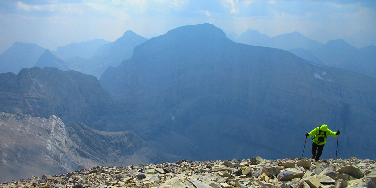
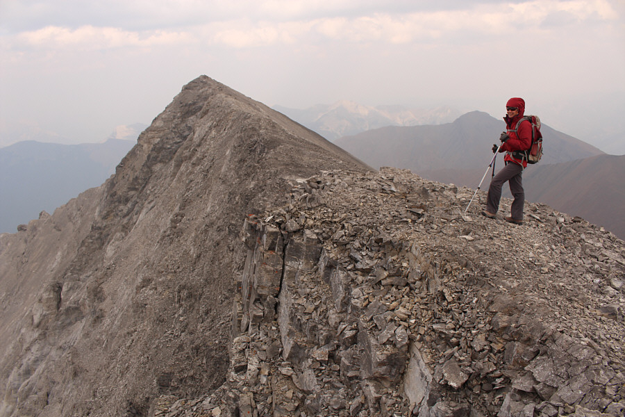
Sonny grinds up the final slope before the summit ridge.  Mount Sparrowhawk dominates the background.

Photo courtesy of Zosia Zgolak


It's unclear if the two men ahead of us bothered to go to the true summit. They certainly did not sign the summit register. Zosia gains the summit ridge.  The summit of Mount Lougheed's second peak is a short distance away.
What's in your mouth, Zosia?? Zosia and Sonny stand on the summit of the second peak of Mount Lougheed (3098 metres).
Vern Dewit and Cornelius Rott would bag this one the following day. 
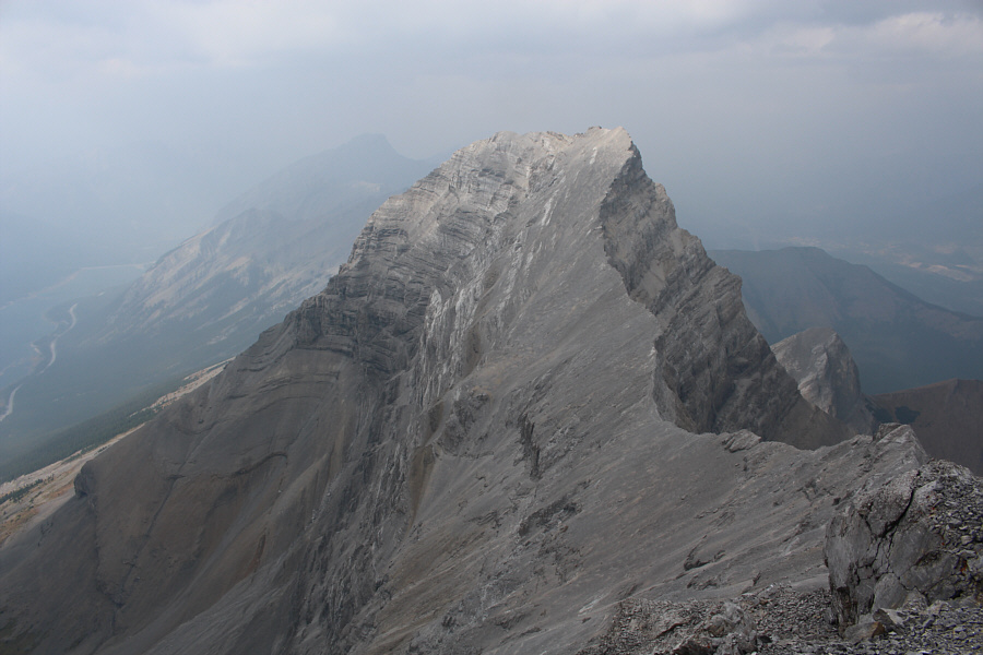
The first peak of Mount Lougheed looks impressive to the northwest.
The weather is kinda turning nasty... To the east are Mount Collembola (left) and Mount Allan (right).
It's a bit of a shame that we didn't go tag the third peak, but we'll be back on a nicer day...maybe! 
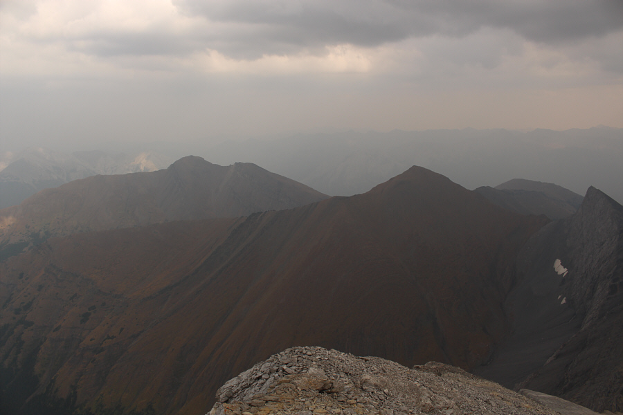
Mount Lougheed's third peak sits in front of the higher fourth peak (Wind Mountain) to the southeast.
It's starting to rain... Mount Bogart (left) and Mount Sparrowhawk round out the view to the south.
I've down-climbed worse! 
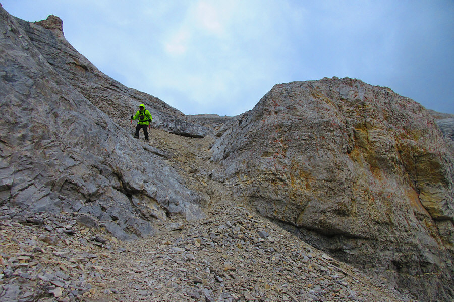
Sonny descends the weakness in the lower cliff bands.

Photo courtesy of Zosia Zgolak

If avi danger is low, this might make for a great glissade in the spring... 
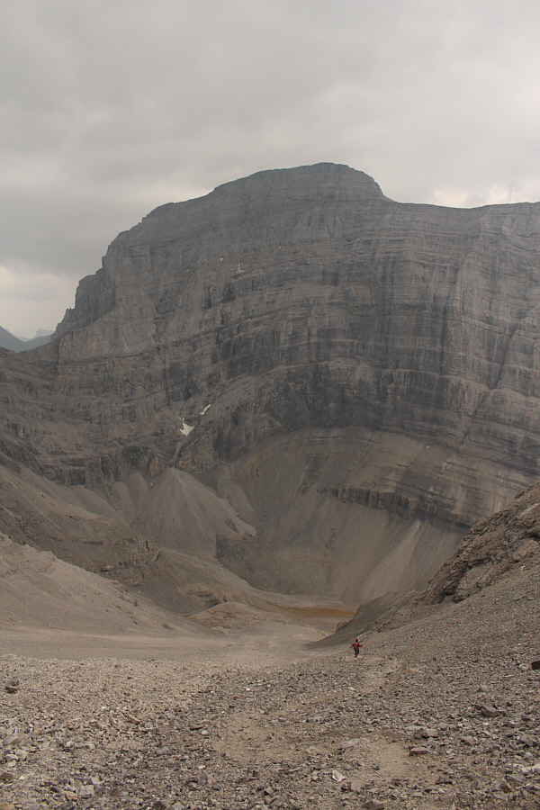
The north face of Mount Sparrowhawk provides a dramatic backdrop as Zosia descends the large scree slope.
Not exactly the best weather for bagging such a big peak, but what's done is done! Total Distance:  15.0 kilometres
Round-Trip Time:  8 hours 54 minutes
Net Elevation Gain:  1381 metres

GPX Data