Photo courtesy of Zosia Zgolak
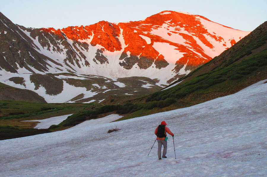
Photo courtesy of Zosia Zgolak
|
|
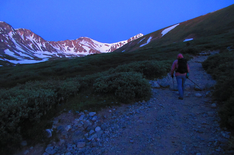
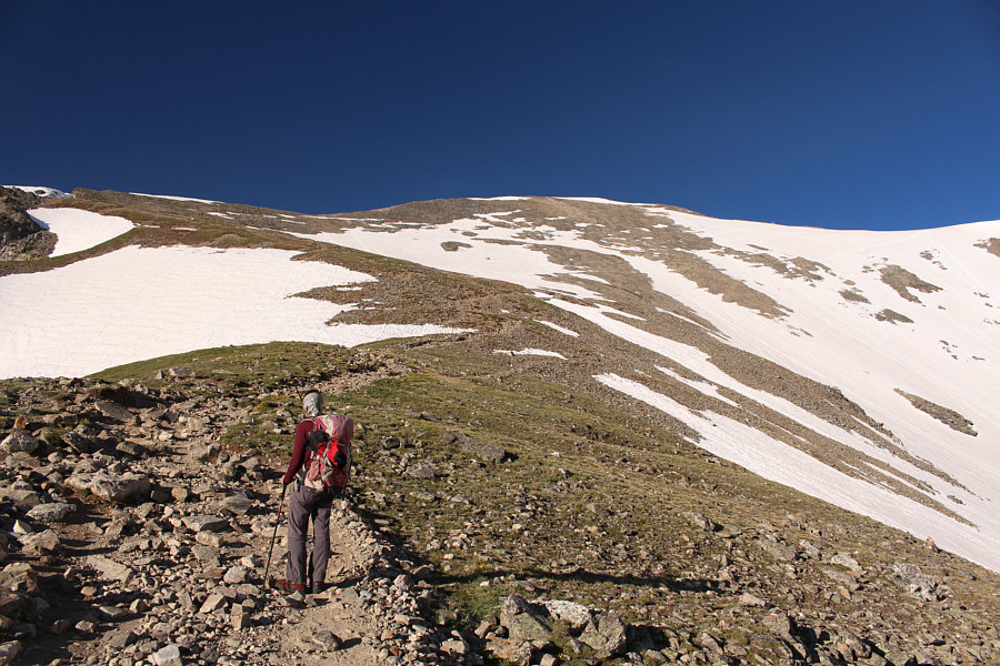
With a pre-dawn start, Sonny hikes along the trail to Grays Peak and
Torreys Peak which are both visible at the head of the valley. Photo courtesy of Zosia Zgolak |
|
|
The morning sun lights up Grays Peak
as Sonny crosses a section of trail still covered by a large snow
patch. Photo courtesy of Zosia Zgolak |

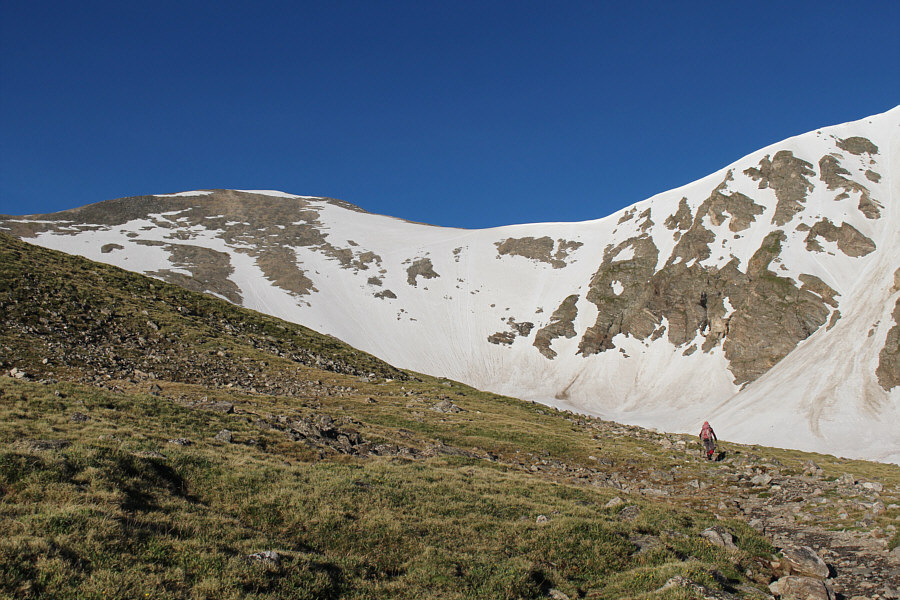
Here is a closer look at Grays Peak and Torreys Peak from further up the valley.
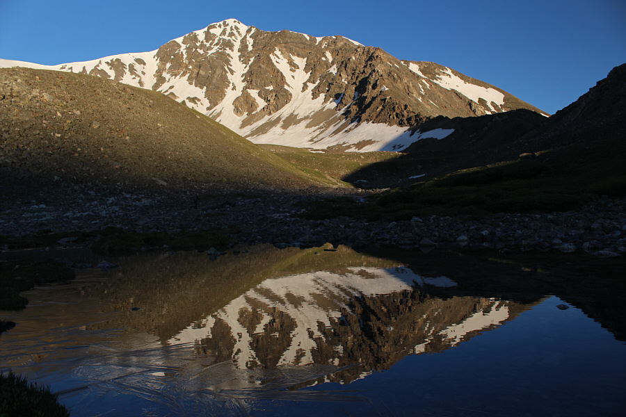 |
Torreys Peak is reflected in a partly frozen tarn. |
 |
Zosia hikes below the east face of Torreys Peak. |
 |
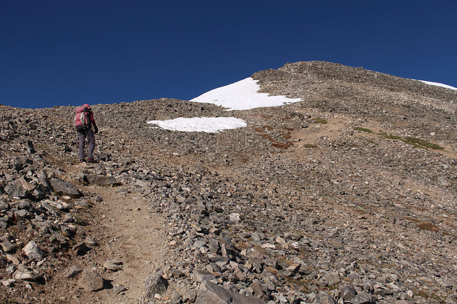
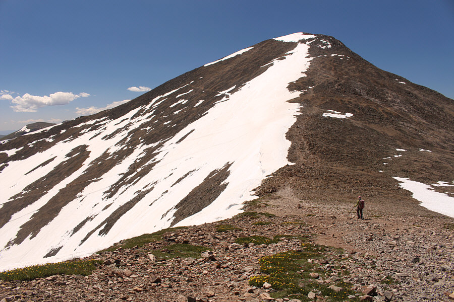
The trail initially climbs to the left here before traversing across the northeast face of Grays Peak to the snowy col. |
 |
A lone mountain goat looks down from above the trail. |
 |
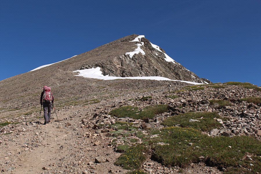
Zosia approaches the northeast face of Grays Peak. She would eventually climb up to the left to gain the ridge. |
 |
A backcountry skier passes Zosia along the trail. Note the mountain goat higher up the slope. |
 |
A couple of mountain goats wander down the trail to meet Zosia. |

The two goats nonchalantly pass by. Click here to see Zosia's video of them.
 |
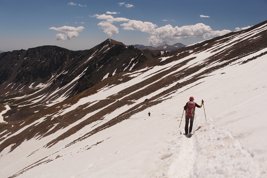
Zosia gains the east ridge of Grays Peak. |
 |
Sonny and Zosia stand on the summit of Grays Peak (4346 metres). |
 |
Mount Evans (centre) and Mount Bierstadt (right of centre) are visible to the east. |
 |
Several named peaks can be readily identified to the southeast including Ruby Mountain (bottom right corner), Decatur Mountain (right) and Square Top Mountain (far left). Barely visible on the left horizon is Pikes Peak. |
 |
Cooper Mountain (left) sits across the basin to the southwest. Though a bit hard to discern in this photograph, Mount Bross, Mount Lincoln, Mount Democrat and Quandary Peak are all clearly visible on the distant horizon right of centre. |
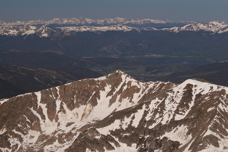 |
The view to the west includes Lenawee Mountain (right foreground), Dillon Reservoir, the town of Frisco (on far side of the reservoir), and Mount of the Holy Cross (left horizon). |
 |
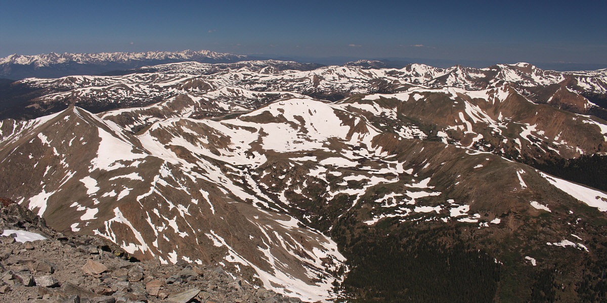
This is looking back down the approach valley to the northeast. Kelso Mountain (centre) is largely neglected due to its close proximity to Torreys Peak and Grays Peak. |
 |
En route to Torreys Peak, Zosia is among a group of hikers descending the north ridge of Grays Peak to the intervening col. |
 |
Zosia hikes up the south ridge of Torreys Peak. |
 |
Zosia and Sonny stand on the summit of Torreys Peak (4346 metres). |
Here is the view to the northwest from the summit of Torreys Peak. Mount Sniktau is visible to the right in the middle foreground.
For our return trip, Zosia and I dropped back down to the intervening col, and we subsequently followed the aforementioned beaten path running across the large snow patch on the northeast slopes of Grays Peak. Neither of us had brought ice axes, and as such, the first part of this descending traverse along the steepest part of the snow slope felt a little unnerving. Fortunately, the snow was not icy, and we regained our original approach trail without any spills. The remainder of our hike back to the trailhead was enjoyable and trouble-free, but we stopped frequently to photograph more mountain goats and even some entertaining marmots. Upon returning to the trailhead, we drove back down the bumpy access road and ultimately stopped in the town of Idaho Springs to do some grocery shopping and eat a late lunch.
 |
Zosia returns to the col below the north ridge of Grays Peak. |
 |
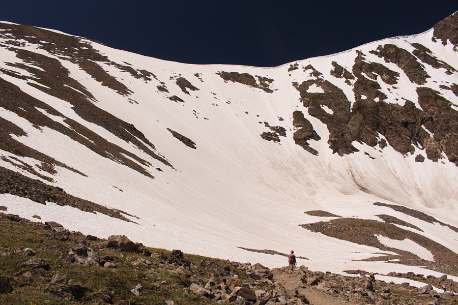
Zosia carefully descends a beaten path in the snow across the northeast face of Grays Peak. |
 |
After safely descending from the col, Zosia regains the main trail. |
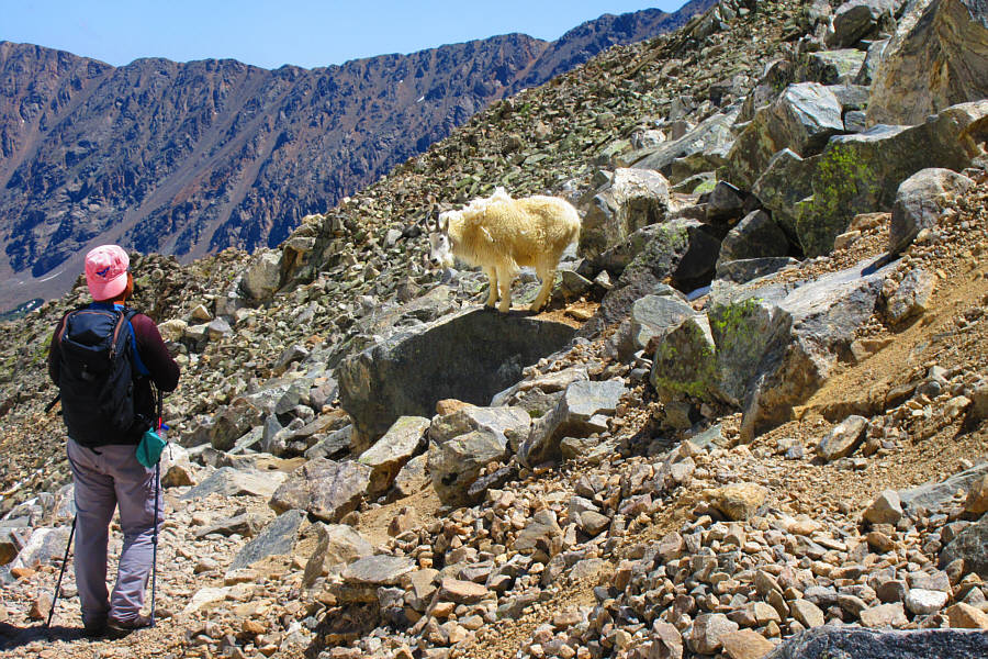 |
Sonny runs into another mountain goat on the side of the trail. Photo courtesy of Zosia Zgolak |
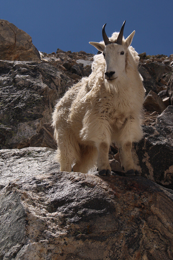 |
Here is a closer look at the goat standing over the trail. |
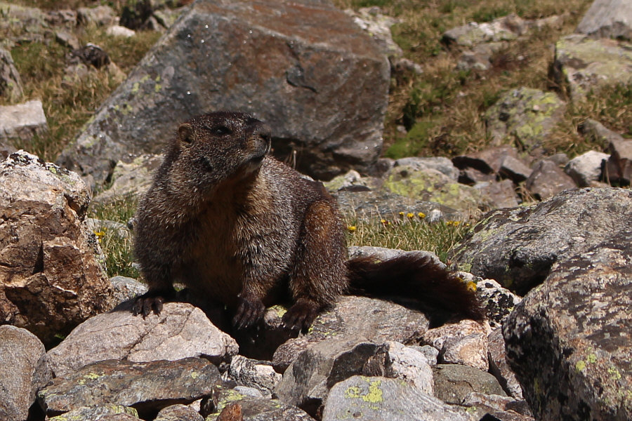 |
Besides mountain goats, yellow-bellied marmots are also abundant in the area. |

Zosia hikes past some shallow tarns on her way back to the trailhead..
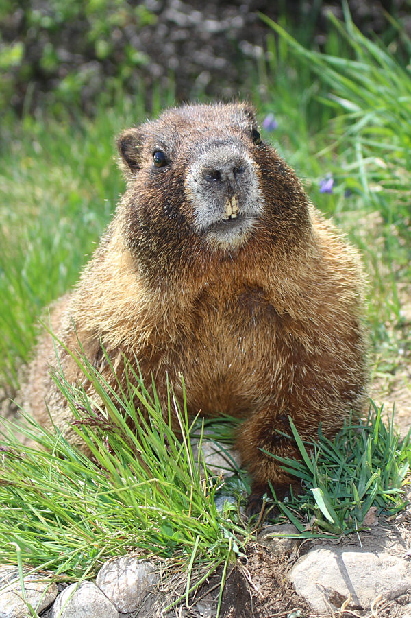 |
Here is a close-up of another marmot. |
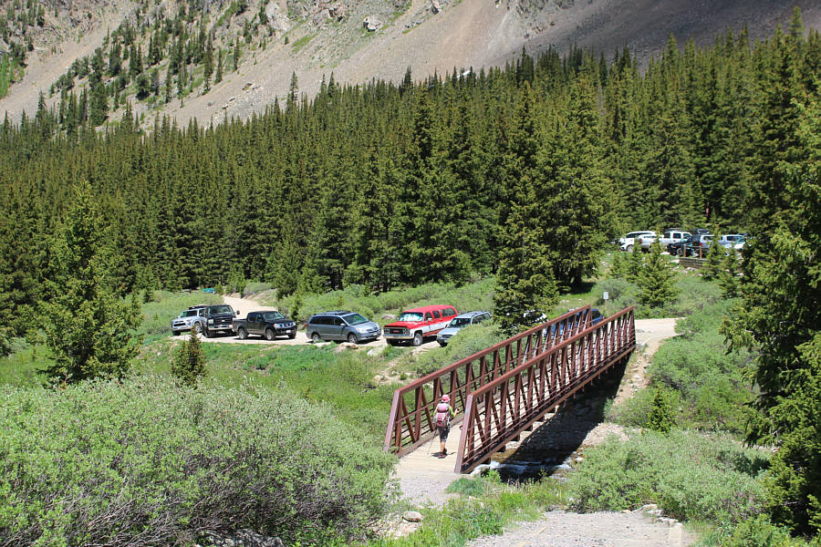 |
Zosia crosses the bridge over Quayle Creek at the trailhead. |
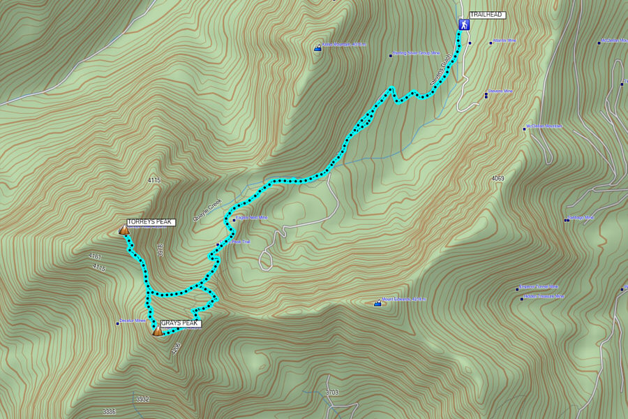 |
Total
Distance: 13.0 kilometres Round-Trip Time: 8 hours 36 minutes Cumulative Elevation Gain: 1093 metres |
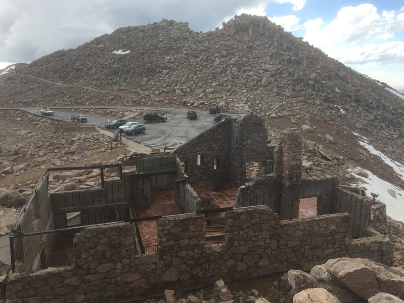 |
Here is a view of the parking lot near the summit of Mount Evans. The ruins in the foreground are that of Crest House, a former restaurant and gift shop that was built in 1941 but destroyed by fire in 1979. |
 |
A mountain goat casually passes by Sonny on the sidewalk as if it were
just another tourist. Photo courtesy of Zosia Zgolak |
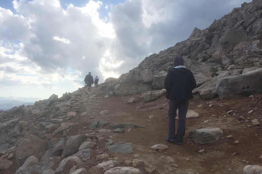 |
Despite some ominous clouds hovering overhead, Zosia hikes up the trail to the top of Mount Evans. |
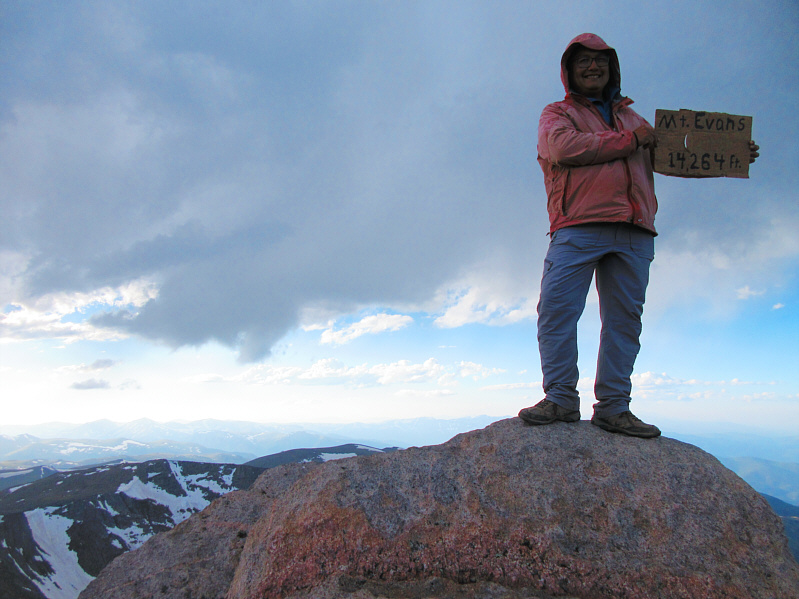 |
Sonny stands on the summit of Mount Evans (~4348 metres). Photo courtesy of Zosia Zgolak |
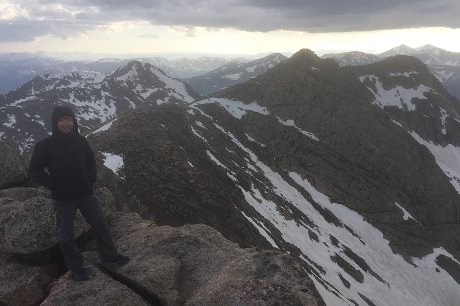 |
Zosia stands near the edge of Mount Evans' precipitous northwest face. Mount Bierstadt is visible at left while Grays Peak and Torreys Peak are visible on the horizon at far right. |
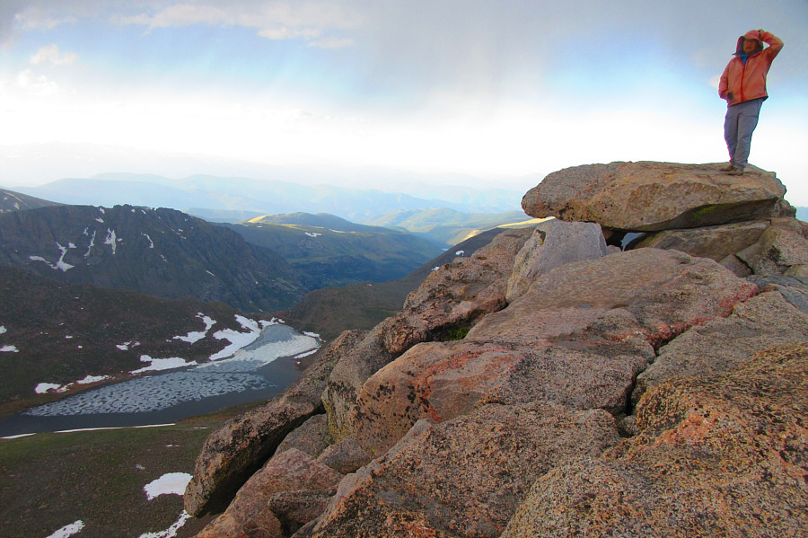 |
Sonny feels a buzz in his head from electricity in the air. Summit
Lake is visible to the north. Photo courtesy of Zosia Zgolak |
 |
Mountain goats take over Crest House once tourists have left. Photo courtesy of Zosia Zgolak |