BOU AVENUE
Zephyr Creek Hills

On 10 October 2020, Andrea Battistel, Peter Henostroza, Zosia Zgolak and I hiked Zephyr Creek Hills in Alberta's Kananaskis Country Public Land Use Zone.  In her Kananaskis Country Trail Guide, Gillean Daffern describes a variety of options for hiking in this area, but based on several online trip reports, the most popular one entails ascending the two highest points which she refers to as "Top 1" (second highest) and "Top 2" (highest).  We decided to do a loop similar to the one taken by Bob Spirko and Vern Dewit.

Starting from the rebuilt Sentinel day use area (38 kilometres west of Longview along Highway 541), Andrea, Peter, Zosia and I headed east for a short distance before fording knee-deep Highwood River.  Picking up a trail on the south side of the river, we hiked eastward briefly and crossed the Zephyr Creek drainage which was dry on this day.  Just past the drainage, we left the trail and turned south to climb up what Daffern refers to as North Limestone Ridge.  The route is initially quite steep, but the grade eventually eases making the rest of the ascent more pleasant.  Upon tagging the summit of North Limestone Ridge, we made an abrupt turn to the east and dropped steeply to the low point of a connecting ridge adjoining the main spine--Dewit calls this Miller Creek Ridge--leading to Daffern's Tops 1 and 2.  Climbing up from the low point, we picked up a good trail which led us easily to the crest of Miller Creek Ridge where we turned south to head up Top 1.  Until this point, we had been largely sheltered by trees from the strong winds that were blowing over the hills all day.  As we began traversing the open section of Miller Creek Ridge though, we were immediately pummeled by relentless wind gusts which literally took our breaths away and threatened to knock us over if we were not careful with our balance.  Fortunately, the terrain here is not technically difficult, and we were ultimately able to fight through the wind to reach Top 1.  After taking a short lunch break there, we dropped into another dip before climbing up to Top 2, the highest point of Zephyr Creek Hills.

Andrea, Peter, Zosia and I only stayed on Top 2 long enough to snap a few requisite photographs before backtracking all the way to the spot where we first gained the crest of Miller Creek Ridge.  From there, we headed north and briefly thrashed through some forest to reach an open saddle just before another summit which Daffern refers to as Top 4.  We continued toward Top 4, but before reaching its summit, we picked up a horse trail descending the ridge to the northwest.  With no great compulsion to tag Top 4, we immediately followed the horse trail down to yet another saddle along the ridge.  We lost the trail here when we overshot the saddle and began climbing up toward another high point at the end of the ridge.  Realizing our mistake, we made a course correction and dropped down an open south-facing grassy slope.  At the bottom of this slope, we picked up presumably the same horse trail, and this time, we were able to follow it all the way out the valley and back to the trail on the south side of Highwood River.  I made another slight route-finding mistake just before we re-crossed the dry Zephyr Creek drainage, but another short thrash through the trees got us back on track not far from our river crossing spot.  A second ford of Highwood River and a short walk back to Sentinel day use area concluded our adventure for the day.

Red sky in the morning; a hiker's warning!

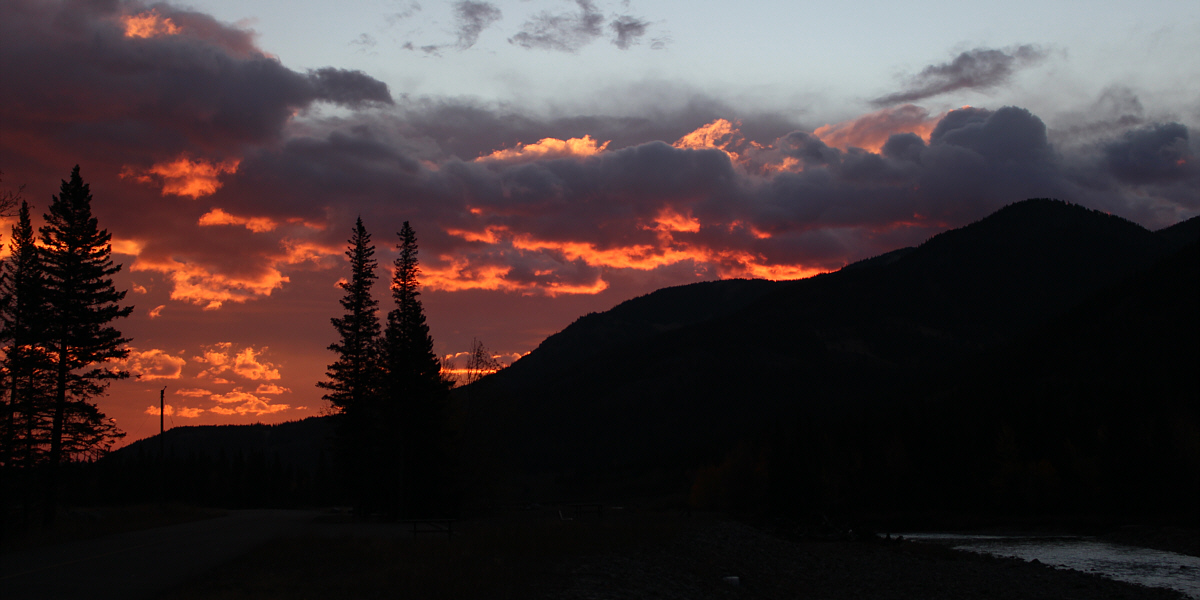
The morning sky is on fire above Highwood River.


Neoprene socks or hip waders work well here! 
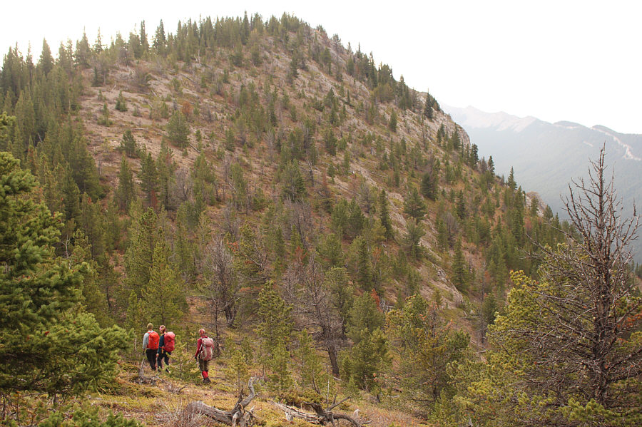
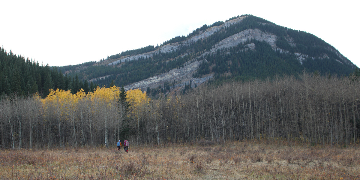
The group fords Highwood River and will soon climb up North Limestone Ridge at left.
Fun stuff! 
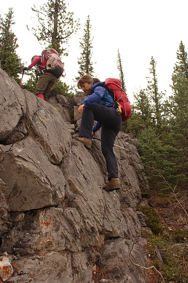
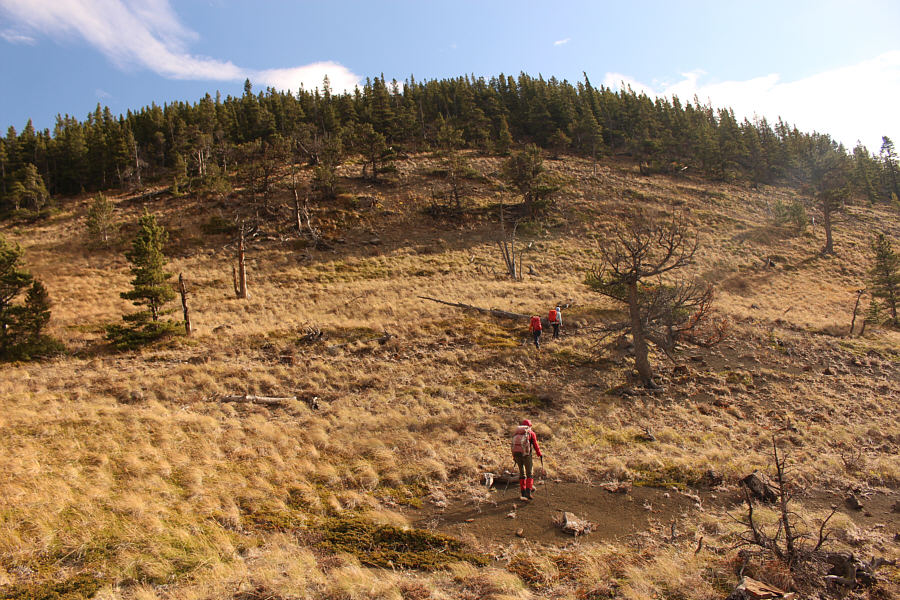
Some easy scrambling is required on the ridge.
It's a strenuous climb just to get this far! 
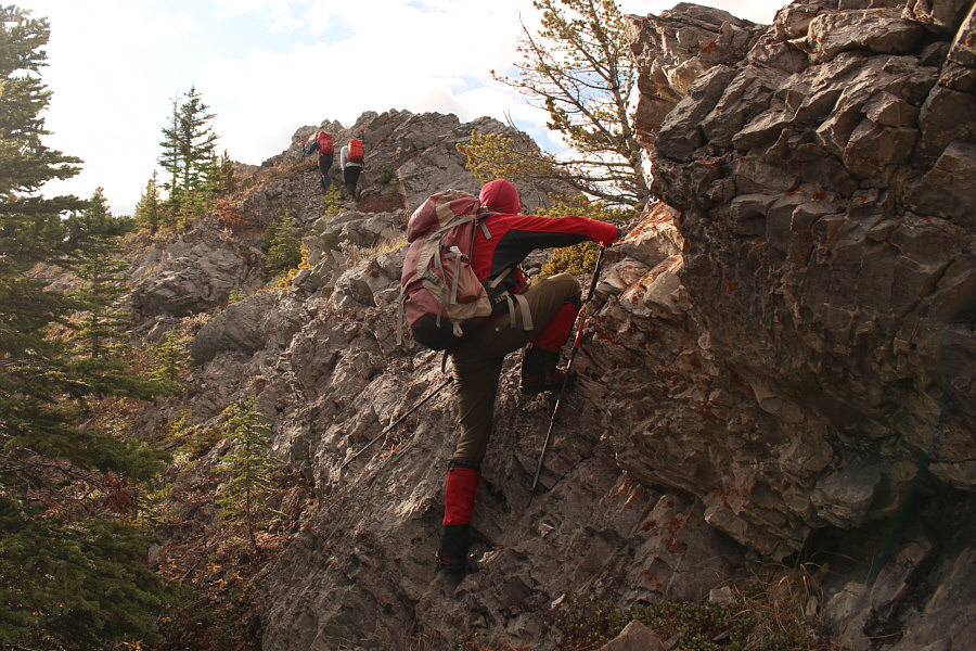
The group approaches the final rise before the top of North Limestone Ridge.
Big stretch! Zosia scrambles up a short step just below the top of North Limestone Ridge.
My red Yukon cap really stands out! Sonny takes the last few steps before the top of North Limestone Ridge.  Bull Creek Hills are visible in the distance at right.

Photo courtesy of Zosia Zgolak

Unfortunately, we didn't bother to take a group photo here. 
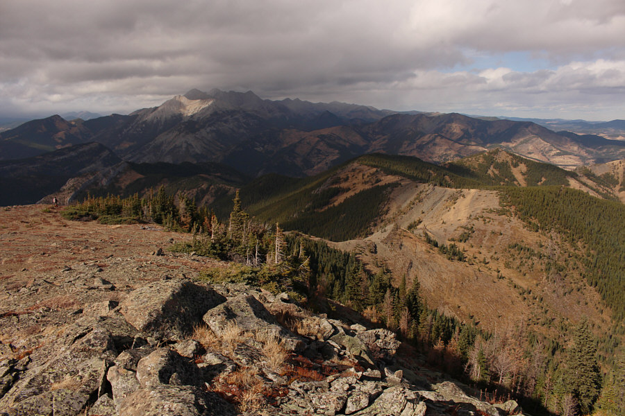
Zosia secures her camera just below the top of North Limestone Ridge (1981 metres).  The highest summits of Zephyr Creek Hills--Top 2 and Top 1 as described by Gillean Daffern--are visible in the distance.
Very disheartening loss of hard-won elevation here! Zosia drops down the steep east side of North Limestone Ridge and will head for the skyline ridge--known as Miller Creek Ridge according to Vern Dewit.
Here we go (up) again! 
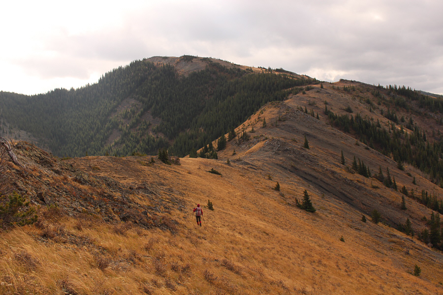
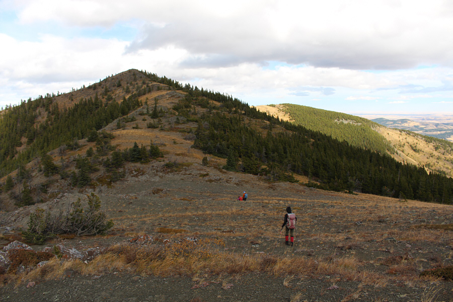
The group grinds its way up Miller Creek Ridge.
Looks easy enough... 
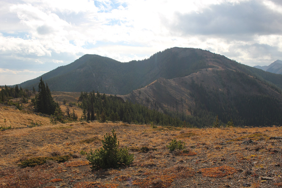
Here is the remainder of the route to Top 2 (left) and Top 1.
Brutal wind. Just brutal. 
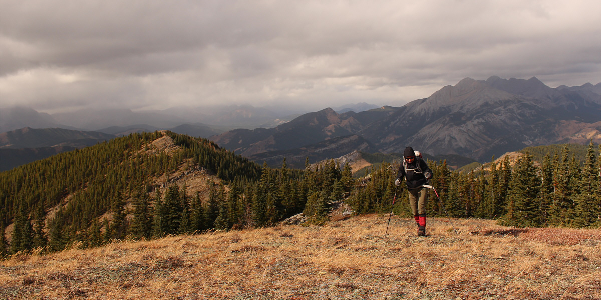
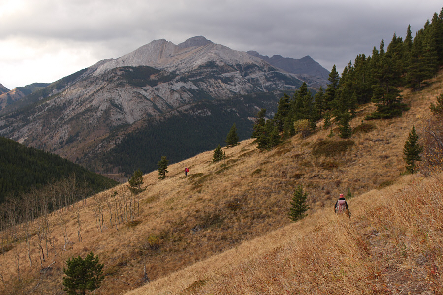
Zosia is battered by the wind as she approaches Top 1 along an open section of Miller Creek Ridge.
The end is in sight...I promise! After going over Top 1, the group heads to Top 2.

Just a few more steps...

Zosia braces against the wind as she takes the last steps before reaching Top 2.  Top 1 is visible at left.


Where's the cairn?? 
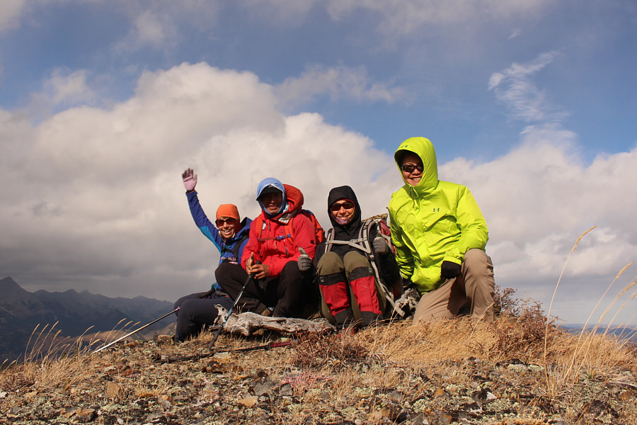
Andrea, Peter, Zosia and Sonny huddle around the cairn on Top 2, the highest point (2202 metres) of Zephyr Creek Hills.
If you have a sharp eye, you might be able to see downtown Calgary on the horizon. 
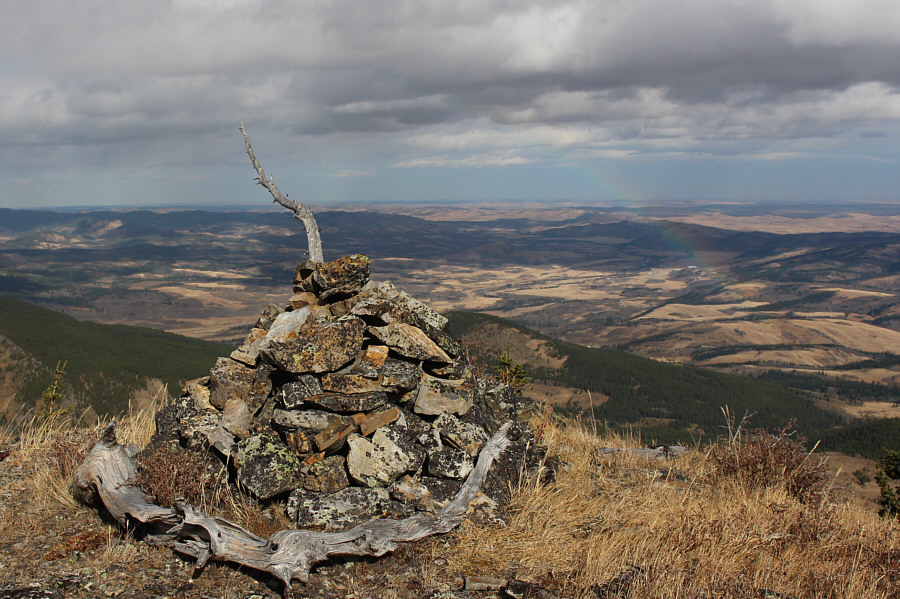
Here is a clearer view of the cairn on Top 2.  Note the partial rainbow at right.
Stony Creek Ridge and Gunnery Mountain are also visible but not readily obvious. 
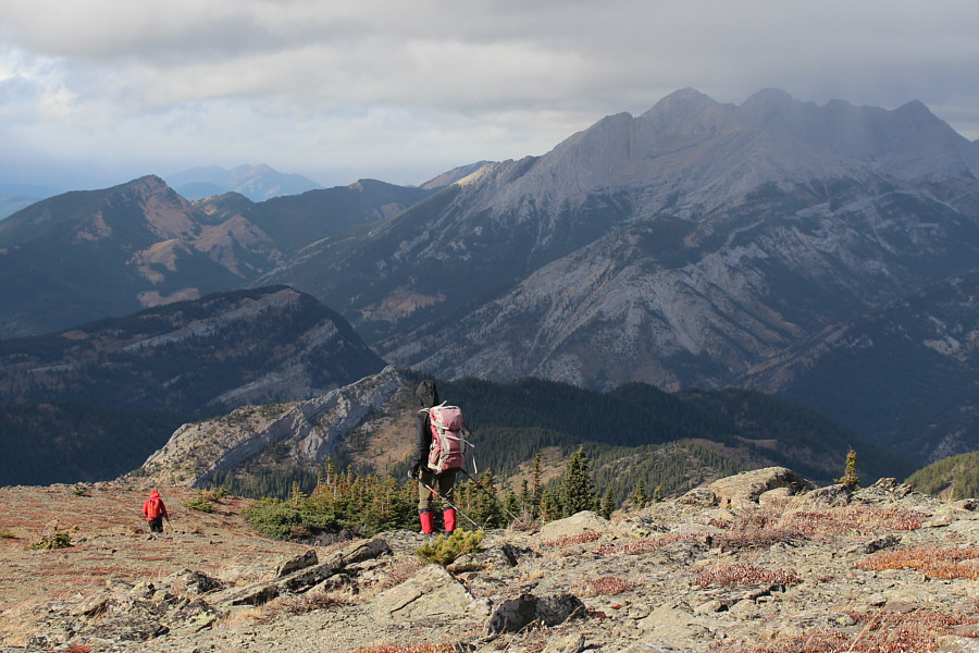
Zosia follows Peter back over Top 1.  North Limestone Ridge is visible behind Zosia.  Mount Mann is visible behind North Limestone Ridge.  Visible on the horizon are Junction Hill (far left), Holy Cross Mountain (fourth bump from far right), and Mount Head (right of Holy Cross Mountain).
Still a lot of ups and downs to come... 
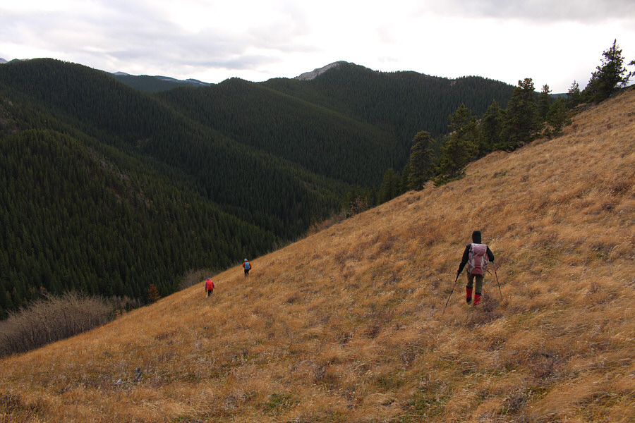
The group's descent route will be along Miller Creek Ridge at right.
And that's Top 5 in the distance to the right. 
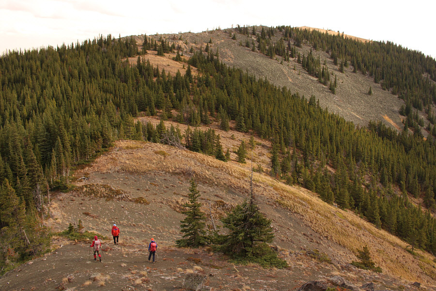
The group approaches Top 4 as described by Daffern.  A good horse trail cuts to the left just short of the summit.
The best thing about going down is getting out of that bloody wind! The group drops down an open grassy slope.  North Limestone Ridge is visible in the distance at centre.
Put it on cruise control here! The horse trail allows for easy hiking out the valley.

Nice splash of fall colours still in some spots.

Mount Mann dominates the background as the group heads back to their crossing point along Highwood River.


She's one tough cookie! 
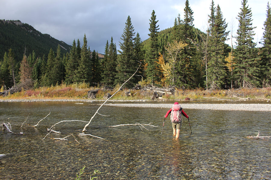
Zosia makes another chilly crossing of Highwood River.
A very strenuous hike made all the more challenging in windy conditions. Total Distance:  17.9 kilometres
Round-Trip Time:  8 hours 54 minutes
Cumulative Elevation Gain:  ~1200 metres

GPX Data