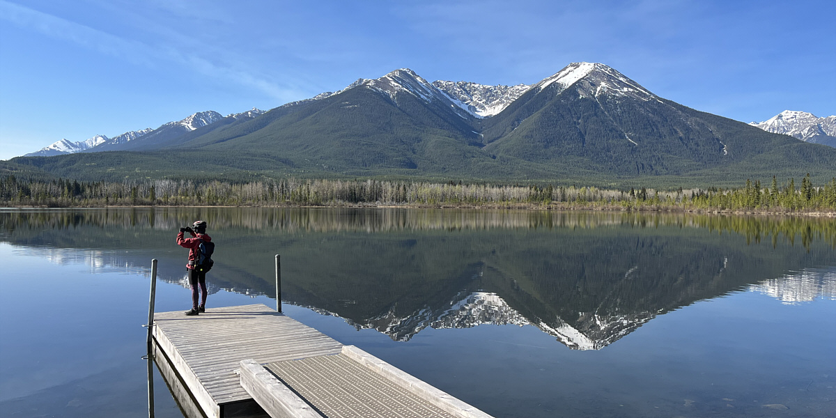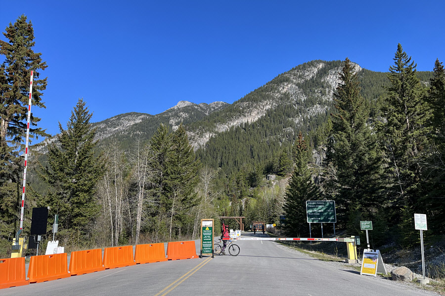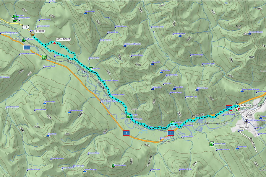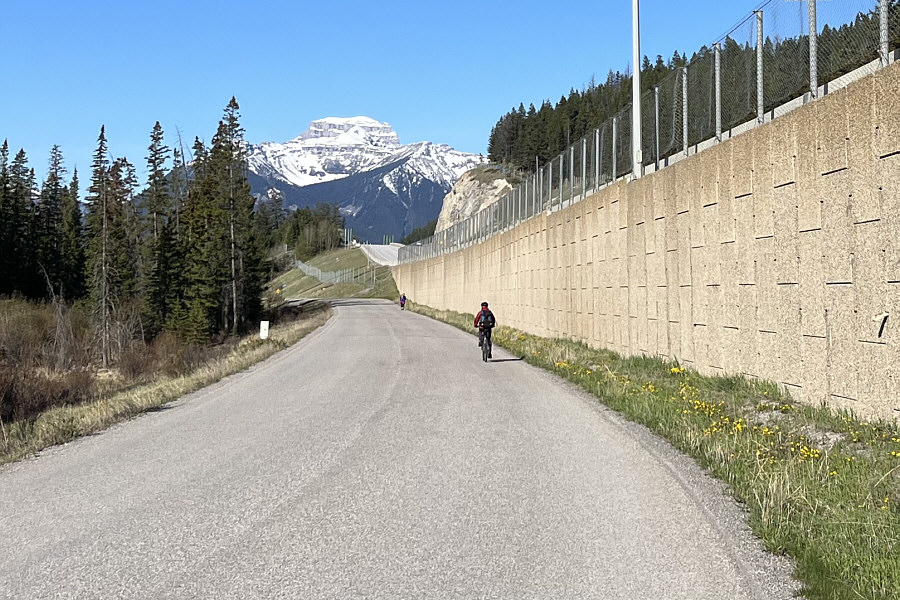
Zosia and I were lucky enough to find parking at the Fenland trailhead along Mount Norquay Road, and that is where we started our ride. After briefly riding northward along a connector pathway, we turned westward onto Vermilion Lakes Road. Although motorized traffic is allowed on this road, it is usually pretty light, and while the 4.3-kilometre ride to road's end does not take very long, we could not resist stopping a few times to marvel at the scenic views across the Vermilion Lakes. At road's end, we continued on the paved Legacy Trail for another 1.8 kilometres before reaching the exit ramp from the Trans-Canada Highway which is also the east end of Highway 1A. The ride to Johnston Canyon was both scenic and thoroughly enjoyable. Among the many undulations in the highway, the toughest hill to climb is at a big split just west of Hillsdale Meadows, but the hard work to get up to the high point of the ride is more than compensated for by an exhilarating downhill run just before reaching Johnston Canyon.
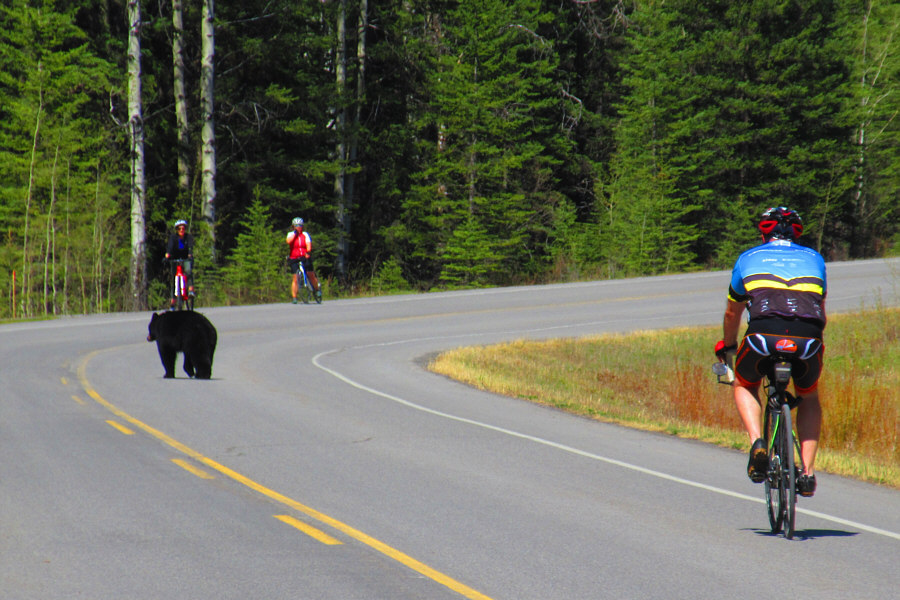
Zosia and I stopped in front of Johnston Canyon Lodge for a pleasant lunch break before commencing our ride back to Fenland trailhead. With the exception of a couple of splits along Highway 1A, our return route was the same, and the ride back was equally enjoyable. We even spotted a black bear which was a nice bonus.
Perhaps the nice weather had something to
do with it, but I cannot overstate how much I enjoyed this trip.
Hopefully, Parks Canada will turn its pilot project into permanent
policy as I would certainly be in favour of repeating this ride
annually. Maybe next time, I will try it with my e-bike!
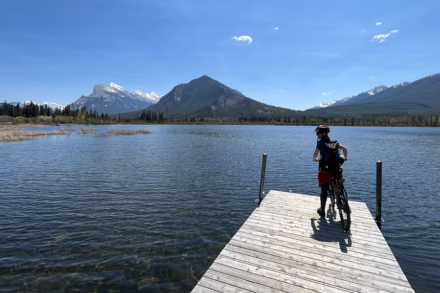
The Sundance Range is reflected in the waters of one of the Vermilion
Lakes.
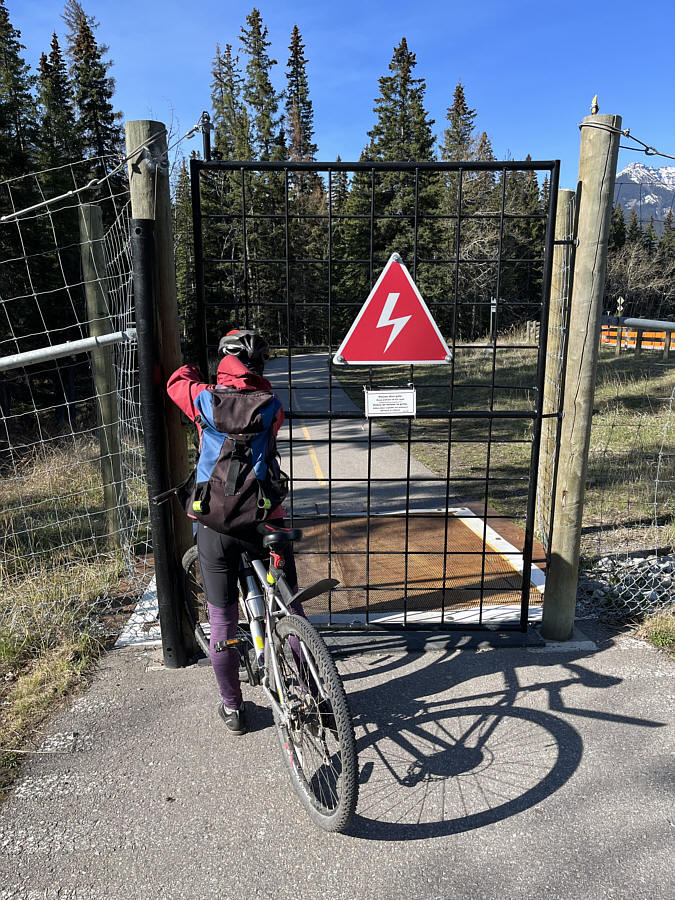
Zosia opens a gate along a section of the Legacy Trail.
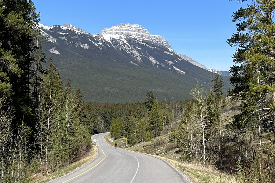
Pilot Mountain
comes into view as Zosia descends a hill along Highway 1A. Photo courtesy of
Zosia Zgolak
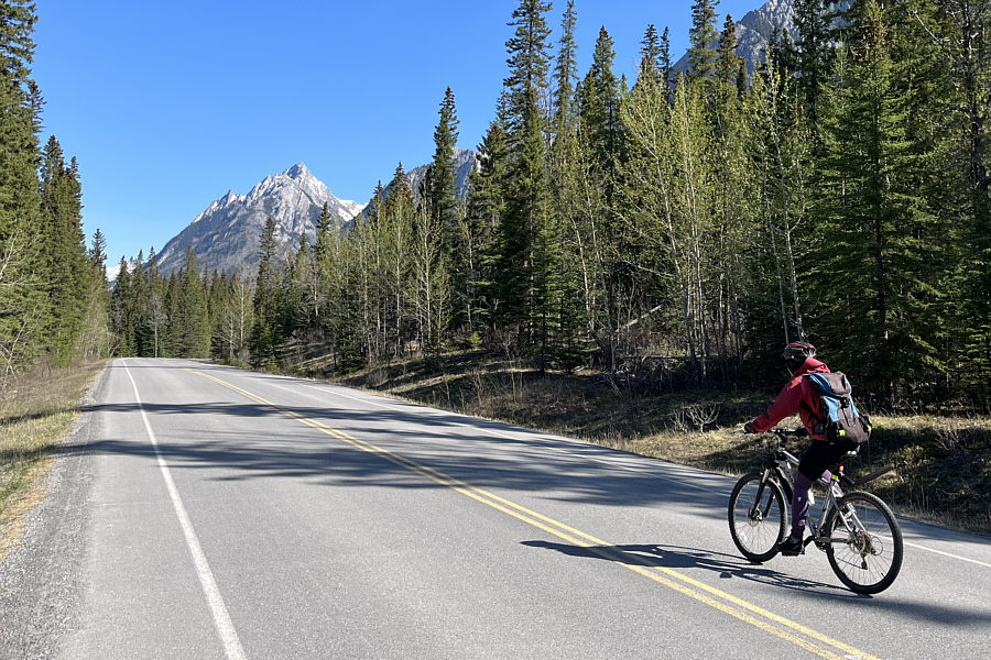
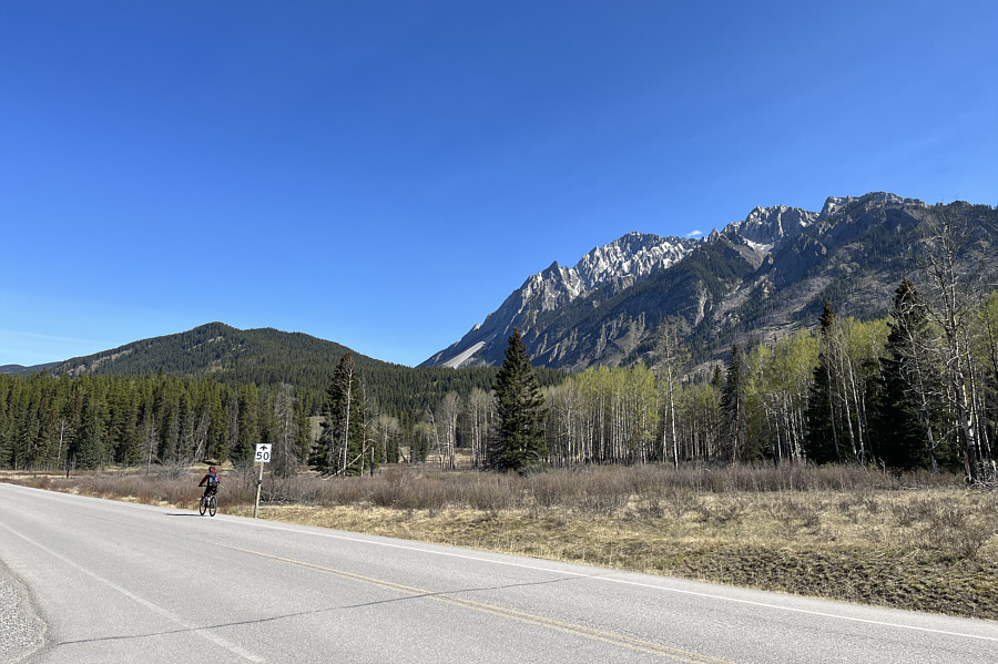
Zosia rides along Vermilion Lakes Road
with Mount
Bourgeau in the background.
Zosia arrives at the east end of
Highway 1A (Bow Valley Parkway).
Zosia gets her first glimpse of
Mount Ishbel
in the distance.
Zosia reaches Hillsdale Meadows.
At left is
Hillsdale Ridge while at right is Mount Ishbel.
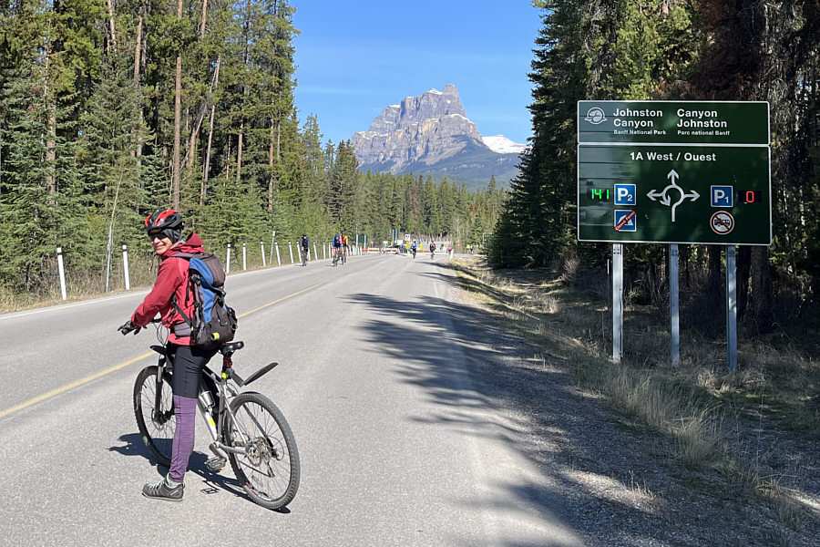
Castle
Mountain is visible in the distance as Zosia arrives at Johnston
Canyon.
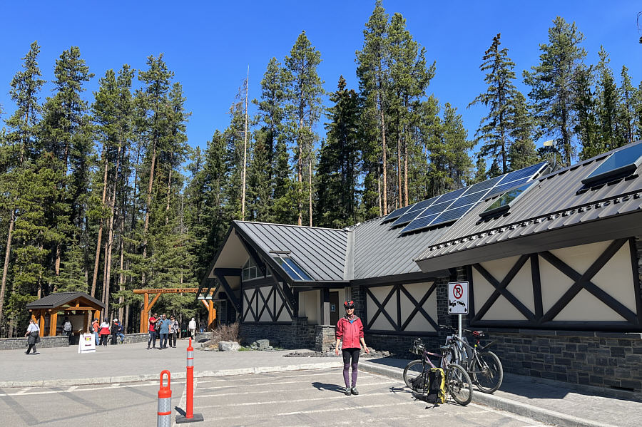
The washrooms at Johnston Canyon look
like a fancy lodge.
Cyclists wait patiently as a black
bear casually crosses the highway.
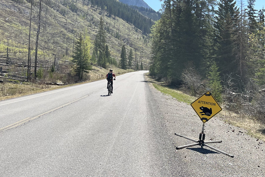
This is apparently a popular frog
crossing.
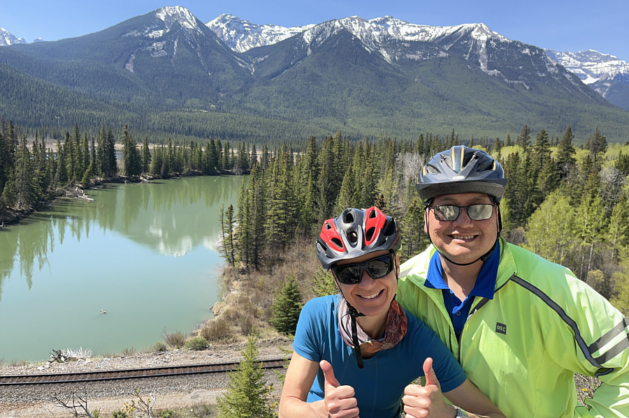
Zosia and Sonny stop along a section
of highway overlooking the Bow River.
The views across Vermilion Lakes are
just as nice the second time around.
Total
Distance: 48.7 kilometres
Round-Trip Time: 4 hours 13 minutes
Cumulative Elevation Gain: 244 metres