BOU AVENUE
Mean Creek Ridge
With a great weather forecast for 24 May 2020, Asieh Ghodratabadi, Ali Shariat, Zosia Zgolak and I headed to the north end of Alberta's Livingstone Public Land Use Zone to do some hiking in the area.  We abandoned my original objective due to an abundance of snow, but fortunately, my backup objective--a double-humped ridge northwest of Mount Livingstone--looked much drier.  Officially, the ridge is unnamed, but I have taken the liberty to dub it "Mean Creek Ridge" because Mean Creek runs along its eastern flank.  Since we had two vehicles, we opted to make our hike a traverse and set up a short car shuttle.  We would begin our traverse from the south end of the ridge (strongly recommended).

From the information kiosk at the junction with Highway 532, drive south along Highway 940 (Forestry Trunk Road) for about 4.3 kilometres and park in a grassy pullout next to a large cut block.  If doing a traverse, leave a second car on the side of the Forestry Trunk Road somewhere between 1.0 to 1.5 kilometres south of the junction with Highway 532.

From the grassy pullout, we began climbing up the cut block to the edge of the forest on the ridge above.  Upon entering the forest, we picked up smatterings of a trail with flagging continuing up the ridge, but the forest is open enough to allow relatively easy travel anywhere.  Although the south end of the ridge is only moderately steep, the ascent is relentless, and in seemingly no time, we were standing on the very scenic southern high point.

To continue to the higher northern high point, we dropped down into a dip along the ridge but immediately ran into some deep snow in some trees.  The snow was a bit of a mixed bag with some supportive sections and other places where we were sinking up to our waists.  Thankfully, the wallowing was short-lived, and we were soon hiking across a grassy meadow to the base of the northern high point.  We encountered more unconsolidated snow while ascending the northern high point, but with some careful route-finding, we were able to navigate quickly through this second section of snow with much less grief.  Once we cleared the snow, we had no more trouble plodding up to the broad and somewhat nebulous northern high point.

For our descent, we followed open grassy sections as much as possible toward the north end of the ridge.  We ultimately were forced to re-enter the forest, and once again, we had to post-hole through deep snow.  Fortunately, the steepness of the slope here made it easy to plow downhill, and we made good progress here losing elevation quickly.  We eventually left the snow behind us for good and descended without further issues to the Forestry Trunk Road.  A short walk along the road to our second vehicle concluded this short but highly satisfying traverse.
Kind of an ugly start, but at least you can see where you're going! 
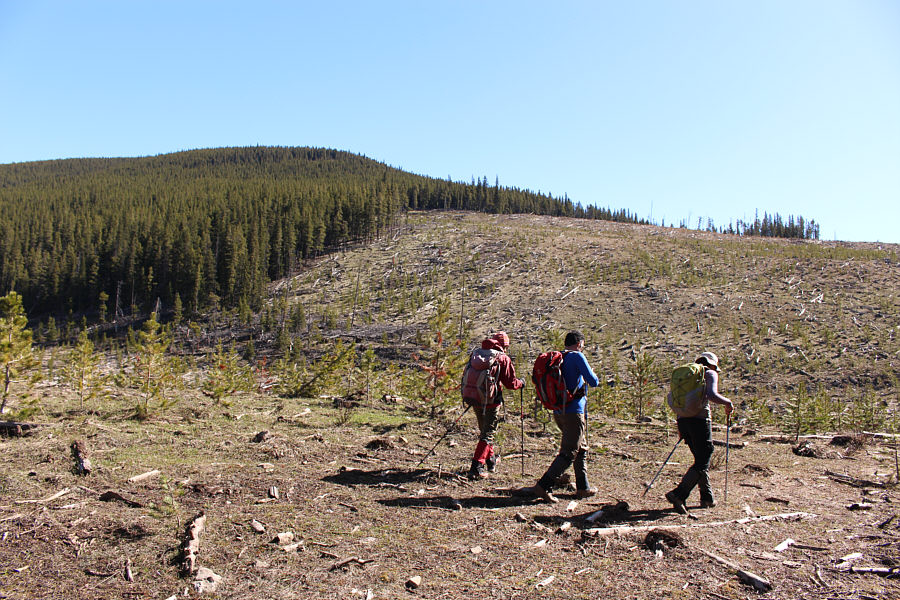
Zosia, Ali and Asieh hike through a large cut block to start the trip.  They would aim for the forested ridge at left.
A no-nonsense ascent. 
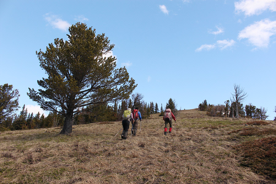
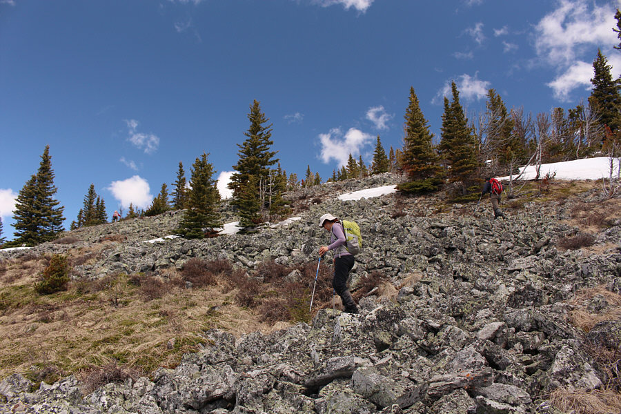
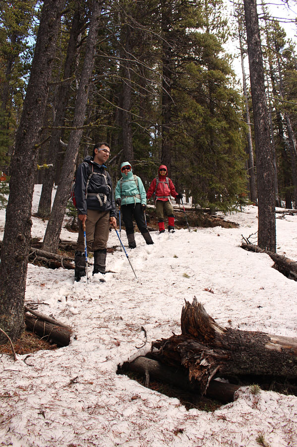
The group grinds its way up the unrelentingly steep southern end of the ridge.
Seems like a lifetime ago when I was up on these peaks. 
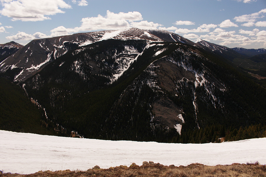
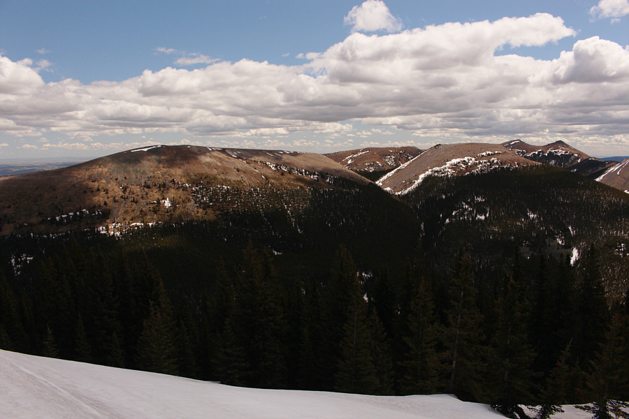
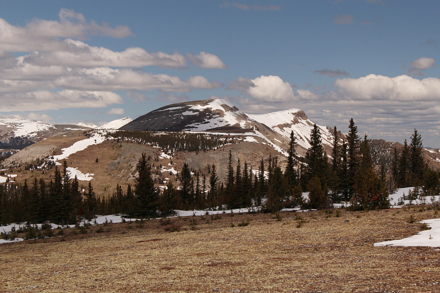
Mount Livingstone dominates the view to the southeast with Coffin Mountain also visible at distant right.

Can you spot Centre Peak, Crowsnest Mountain, and Twin Peaks (Cabin Ridge)?

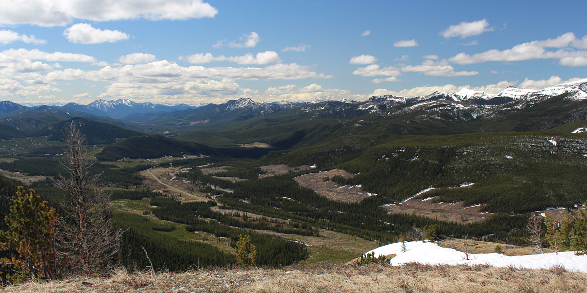
The Livingstone River valley stretches away to the south in this view from the southern high point of the ridge.


And if you have a sharp eye, you should be able to spot Beehive Mountain!

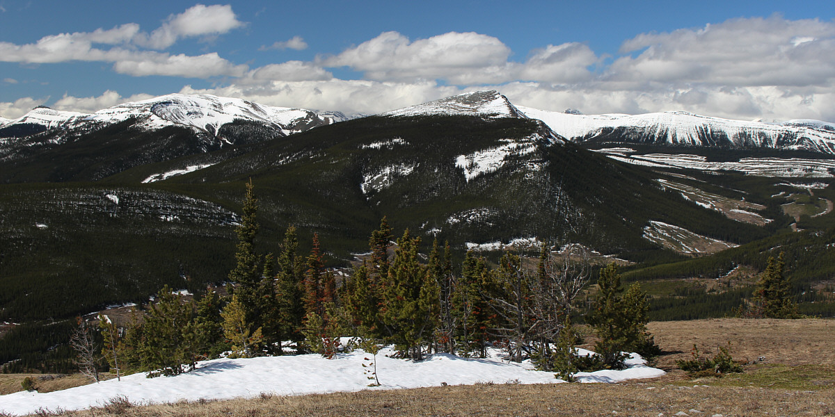
The view to the southwest includes Monola Peak (left), Isola Peak (centre) and Monad Peak (partly obscured by Isola Peak).


The southern high piont is lower but has better views. 
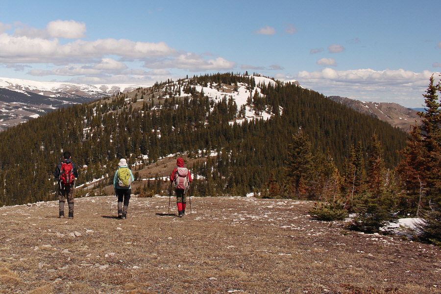
The group descends into a dip between the southern high point and the northern (true) high point of Mean Creek Ridge.
Par for the course whenever Zosia and I hike with Ali and Asieh! 
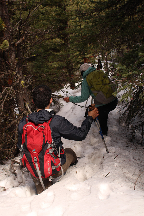
Ali and Asieh run into some deep unsupportive snow while descending the north side of the southern high point.
Correction: the best *snow-free* route up the northern high point! 
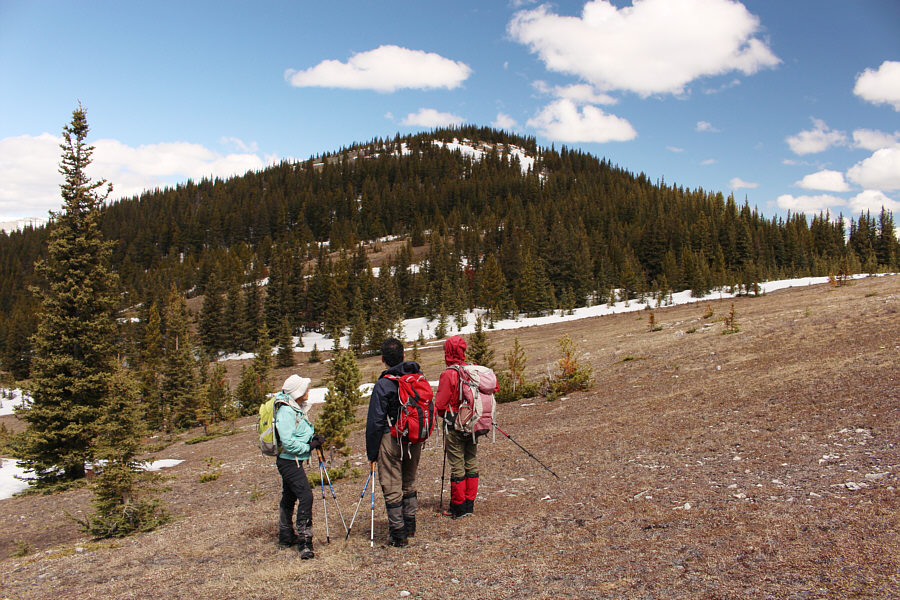
The group tries to ascertain the best route up the northern high point.
This seems a bit too familar... 
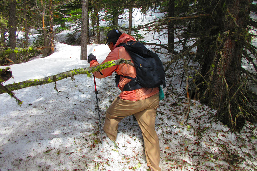
Faced with unavoidable snow, Sonny forges ahead to climb the northern high point.

Photo courtesy of Zosia Zgolak

Better than post-holing! The group makes its way up a rocky slope.
All of these peaks are becoming a distant memory... From near the northern high point of Mean Creek Ridge, the view to the east includes Windy Peak (left), Mount Hornecker (right), and Saddle Mountain (far right).

Another nebulous summit, but at least the views are nice!

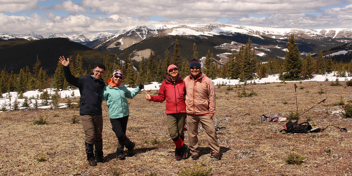
Ali, Asieh, Zosia and Sonny stand near the high point (2233 metres) of Mean Creek Ridge.  Behind them is Plateau Mountain.


Hailstone Butte South is actually the highest point on that ridge. Hailstone Butte to the north is still quite snowy.
We're heading for Ali's car! 
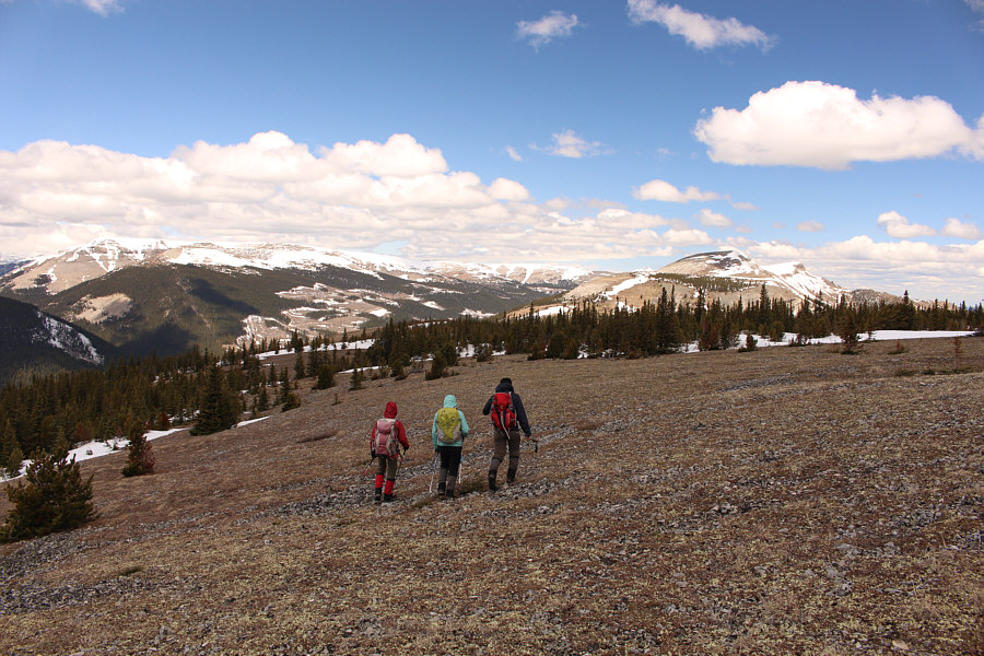
Descending from the northern high point, the group aims for the open space to the left.
The slope is steep enough that an ice axe would not have been out of place here. Ali, Asieh and Zosia descend the steep slopes west of the northern high point.
Easy street. 
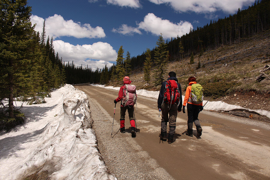
The group walks along the forestry trunk road to get to Ali's car.
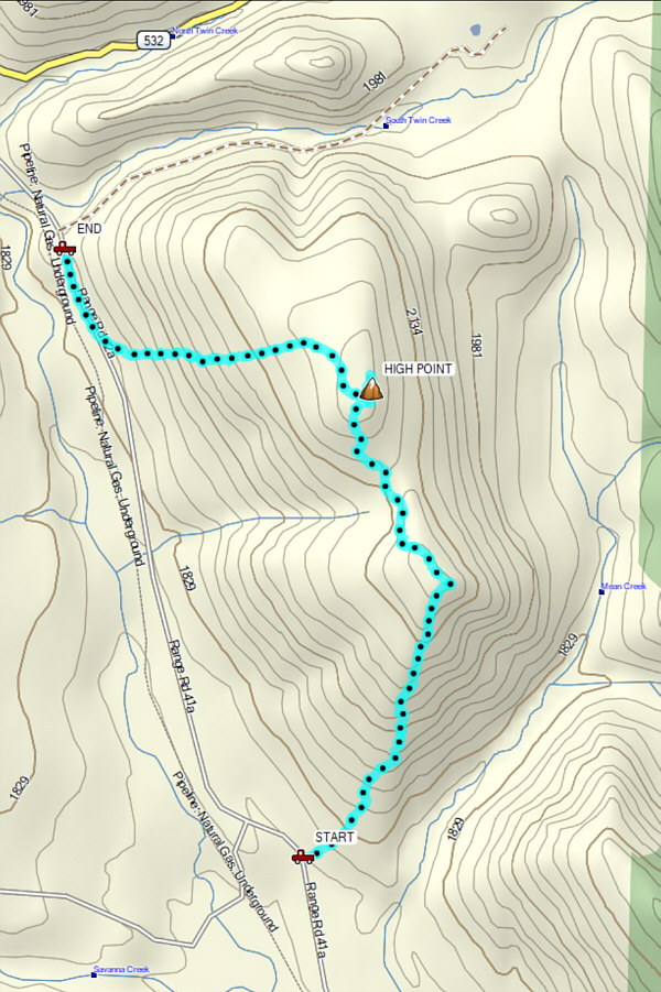
A nice gem of a hike! Total Distance:  5.6 kilometres
Round-Trip Time:  3 hours 57 minutes
Total Elevation Gain:  550 metres

GPX Data