

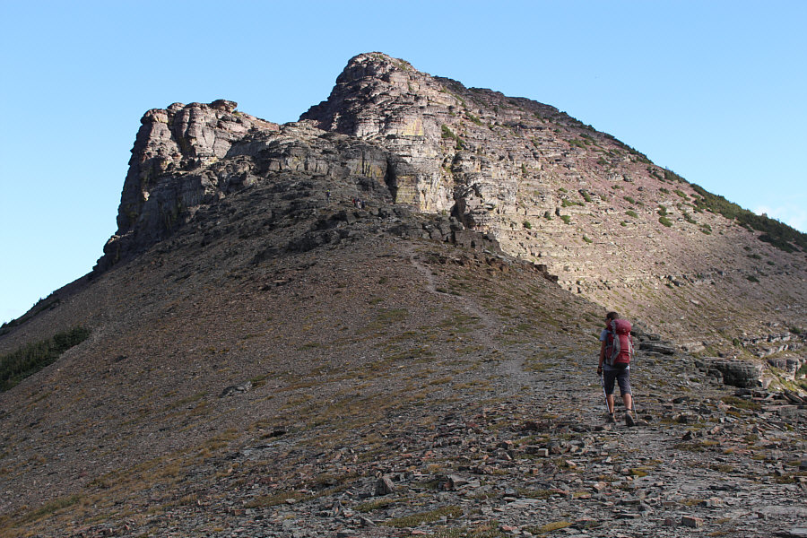


Photo courtesy of Zosia Zgolak
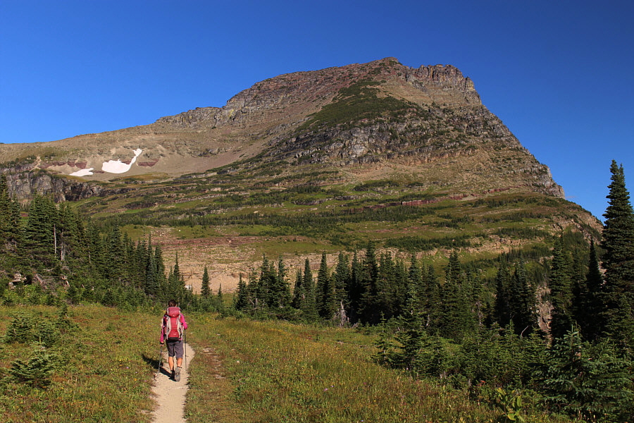
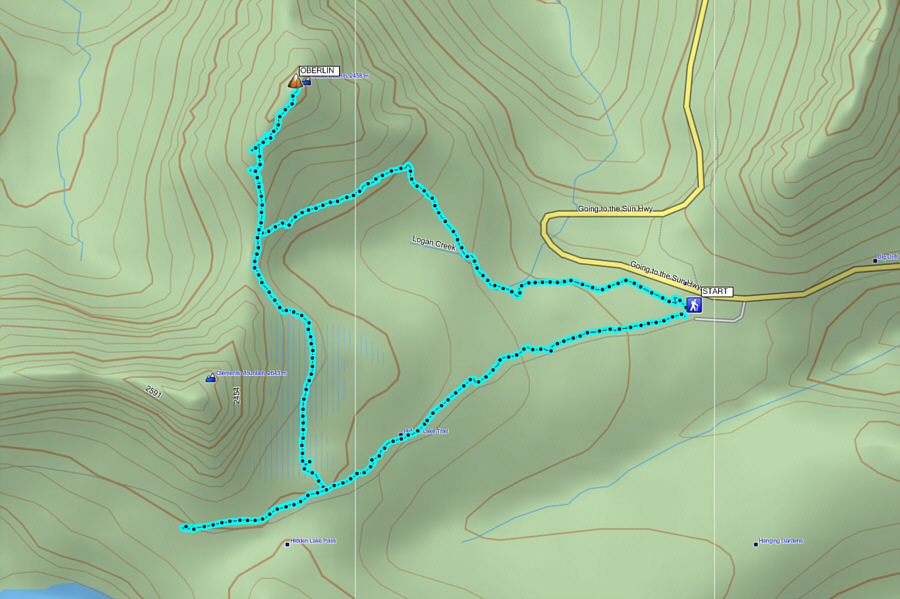
Starting from the paved pathway north of the Logan Pass
visitor centre, we hopped over a low chain onto a very obvious trail
heading in the direction of Mount Oberlin. This trail passes a shallow
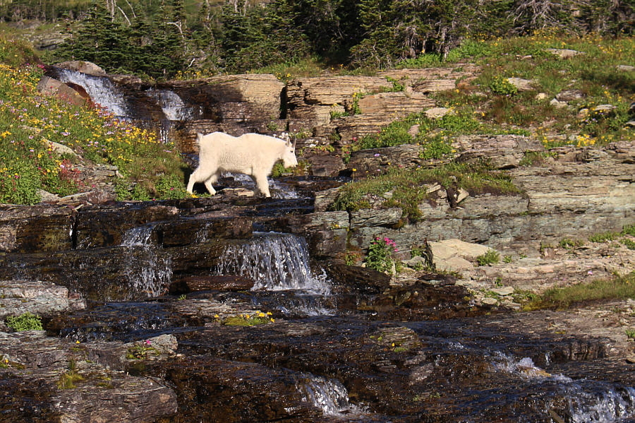
waterfall before crossing meadows to the base of Mount Oberlin. We saw at
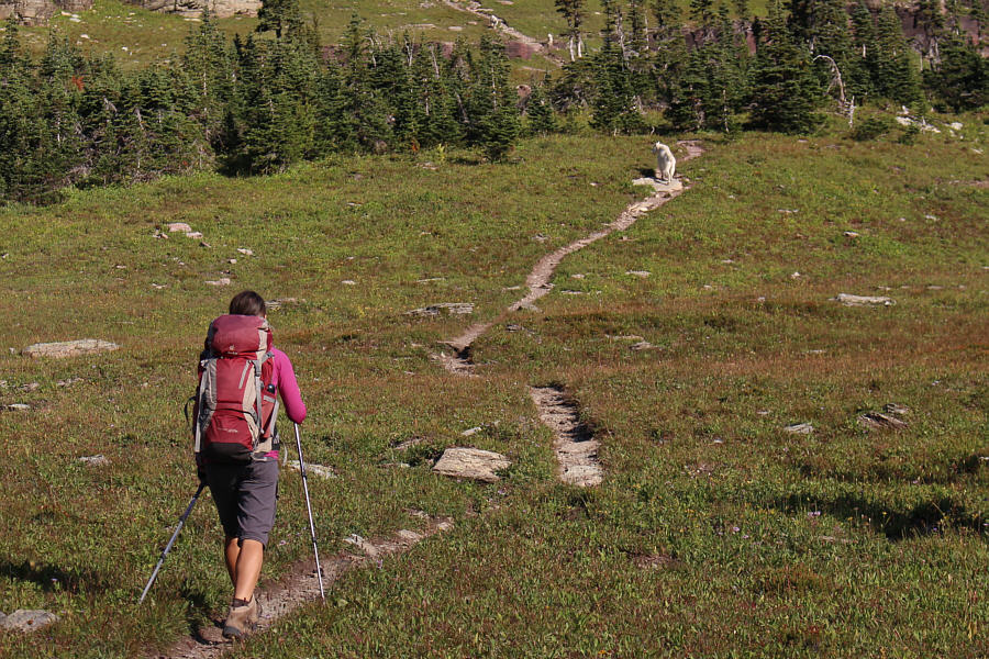
least half a dozen goats in this area, and one of them even appeared to
be leading us up the trail! At the base of Mount Oberlin, we
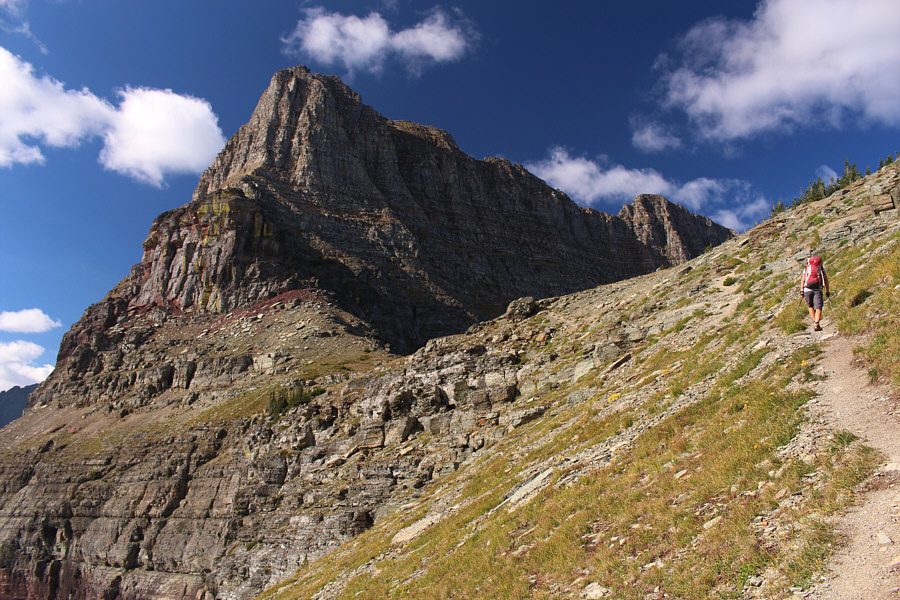
followed the trail westward and climbed up to the col separating our
objective from Clements Mountain. From the col, we scrambled up a series
of reddish cliff bands before making a long rising traverse across Mount
Oberlin's southeastern slopes to its summit. I found the scrambling through the
cliffs to be straightforward and actually a lot of fun, but the route is
not the easy walk-up that I was expecting. There are some Class 3
sections to negotiate and even some tricky route-finding which could
possibly pose a challenge to non-climbers.
Zosia and I were fortunate to have the summit mostly all to ourselves,
but by the time we descended back to the col, a big horde of hikers were
muddling their way up the cliffs. Instead of retracing our steps back to
the parking lot, we traversed below the east face of Clements Mountain in
order to visit Hidden Lake Overlook since Zosia had never been there
before. The initial part of the traverse is a little unnerving as it
follows a narrow goat trail across loose scree slopes not that far above
an intimidating cliff face. Once past this section, we enjoyed a very
pleasant walk across karst pavement and low-angled snowfields before
intersecting the tourist trail to Hidden Lake Overlook. After a brief
visit to the Overlook, we followed the crowded tourist trail back to the
parking lot without too much shoving.
A stop for ice cream later on at the Dairy Queen in Cardston, Alberta
capped off yet another enjoyable weekend in Glacier National Park.
 |
Zosia tends to her makeshift kitchen near the parking lot at Logan Pass. |
 |
An excellent unsigned trail leaves the visitor centre at Logan Pass and heads to Mount Oberlin. |
 |
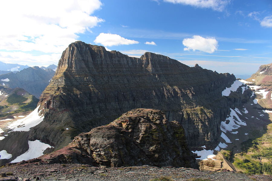
Clements Mountain is possibly the most photographed mountain in Logan Pass. |
 |
One of the resident goats of Logan Pass moves with some purpose across a stream. |
 |
Zosia follows the goat up the trail. |
 |
Zosia approaches the col below the north face of Clements Mountain. |
 |
The south ridge of Mount Oberlin is more complicated than it appears. |
 |
The first challenging section is a narrow chute. |
 |
It is Sonny's turn to climb up the
chute. Photo courtesy of Zosia Zgolak |
 |
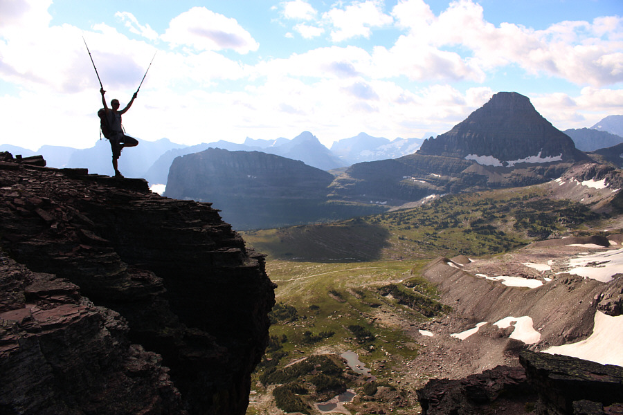
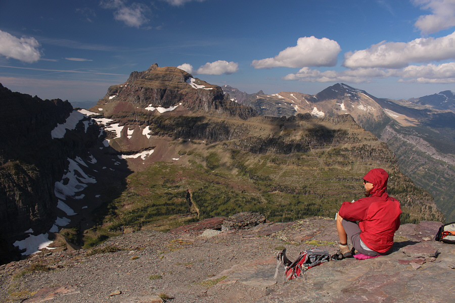
Zosia tries to improve her cel phone reception high above Logan Pass. Left of centre is Heavy Runner Mountain, and at far right is Reynolds Mountain. |
 |
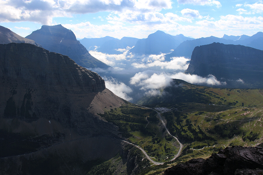
The Logan Pass parking lot looks full from the summit of Mount Oberlin. At left is Going-to-the-Sun Mountain. |
 |
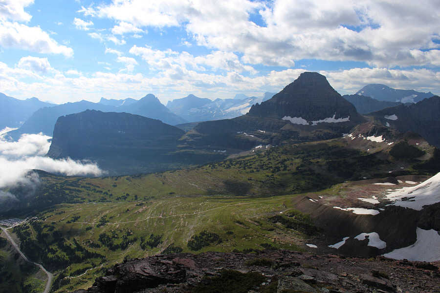
Here is a more comprehensive view of the Logan Pass area. The tourist trail to Hidden Lake Overlook is obvious. |
 |
Clements Mountain dominates the view to the south. |
 |
Zosia enjoys the views of Mount Cannon (left) and Heavens Peak (distant right) to the west. |
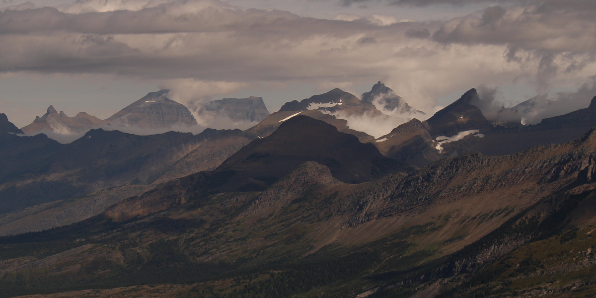
Mist partially obscures some of the peaks to the north including Stony Indian Peaks, Mount Cleveland, Ipasha Peak, Mount Merritt, and Iceberg Peak. At centre in shadow is Swiftcurrent Mountain.
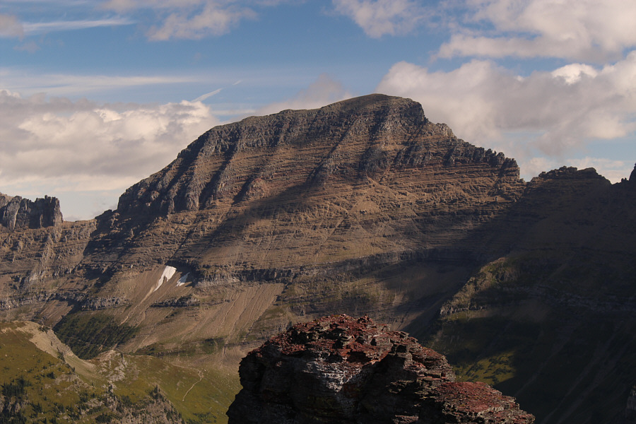 |
The 'gentler' side of Mount Gould is visible here. |
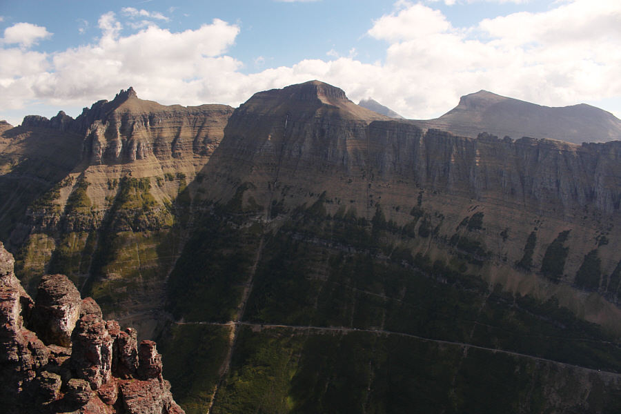 |
Bishops Cap, Pollock Mountain, Mount Siyeh and Piegan Mountain round out the views to the northeast. |
Sonny and Zosia stand on the summit of Mount Oberlin (2492 metres).
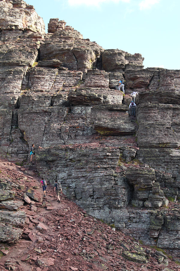 |
The cliffs of Mount Oberlin start to get busy. |
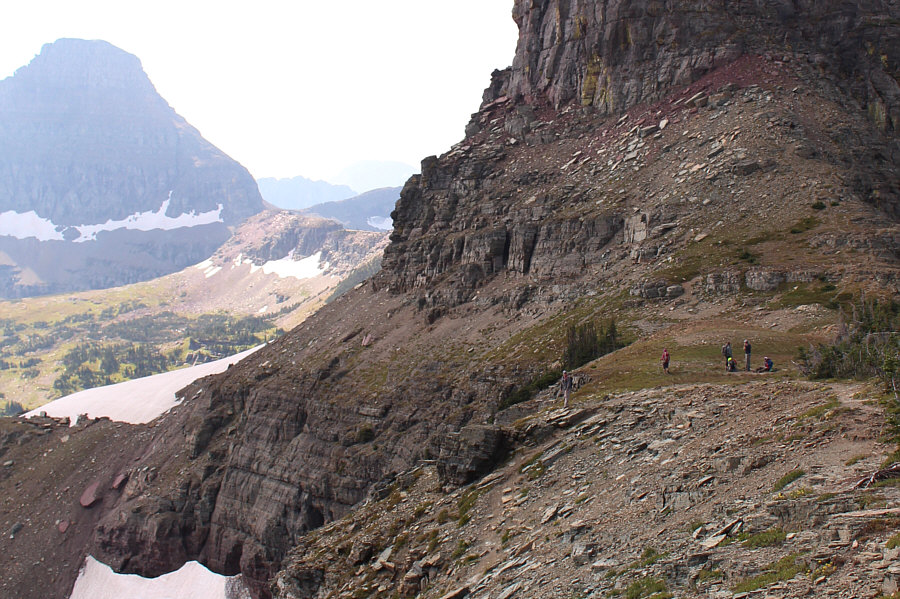 |
The traverse across the lower slopes of Clements Mountain is not for the faint of heart. |
 |
A goat trail makes the traverse from the Clements-Oberlin col much easier. |
 |
Zosia hikes across karst pavement aiming for the trail through the gap in the moraine (centre). At left is Reynolds Mountain. |
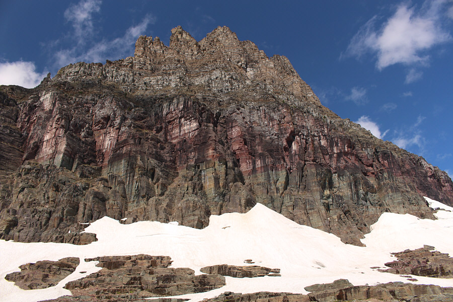 |
The east face of Clements Mountain is a route-finder's nightmare. |
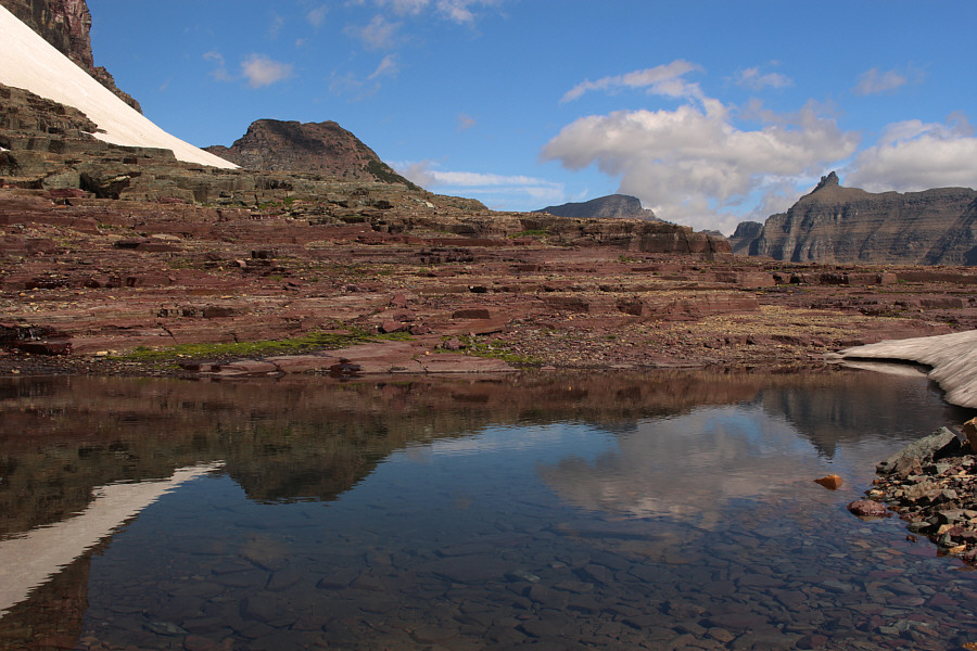 |
Mount Oberlin, Mount Gould and Bishops Cap are reflected in a secluded pond not far from the trail to Hidden Lake Overlook. |
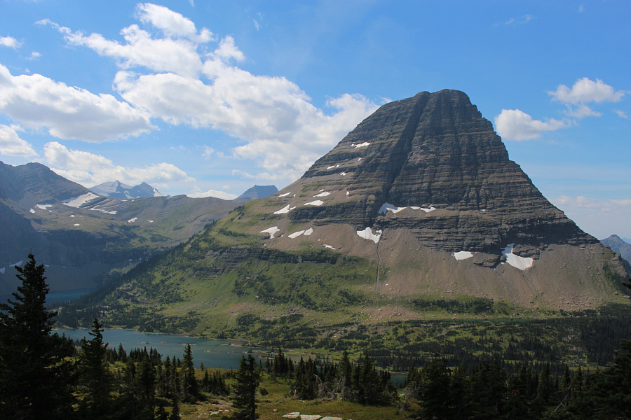 |
This is the classic view of Bearhat Mountain from Hidden Lake Overlook. |
 |
Total
Distance: 8.1 kilometres Total Time: 4 hours 18 minutes Net Elevation Gain: 499 metres |