 |
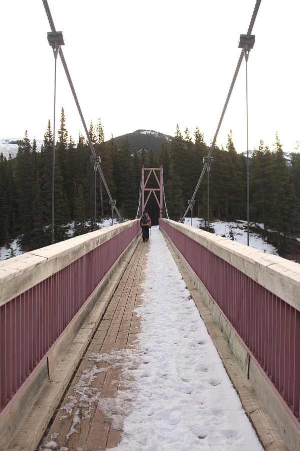
Bob and Zosia walk across the Harold Chapman suspension
bridge. |
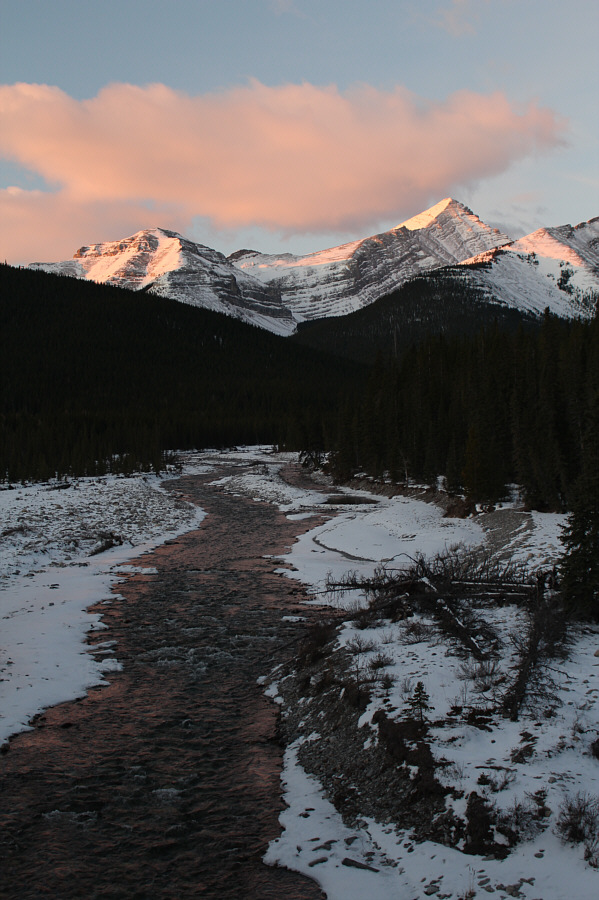 |
Morning sunlight shines on
Mount
Glasgow above Little Elbow River. |
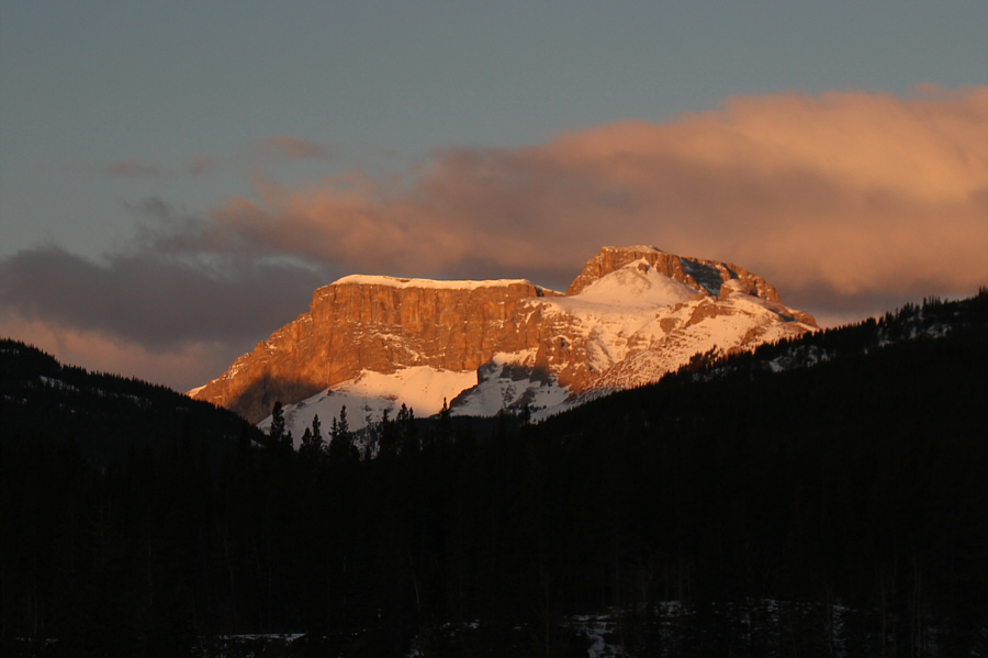 |
Mount Romulus and
Mount Remus glow in
the morning light. |
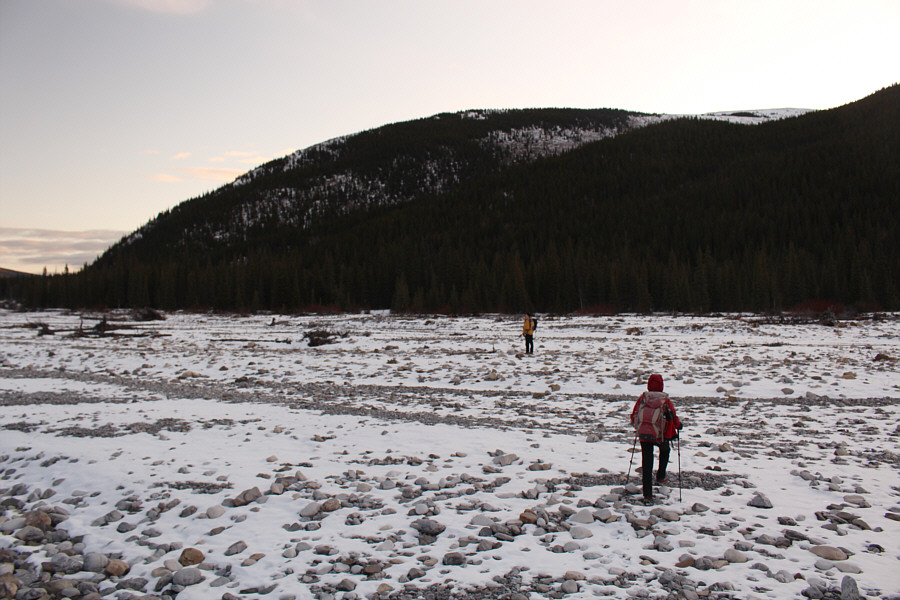 |
Bob and Zosia cross the dry flats of Big Elbow River. |
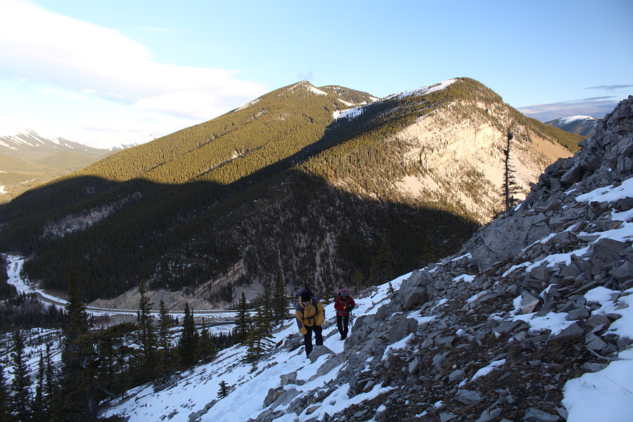
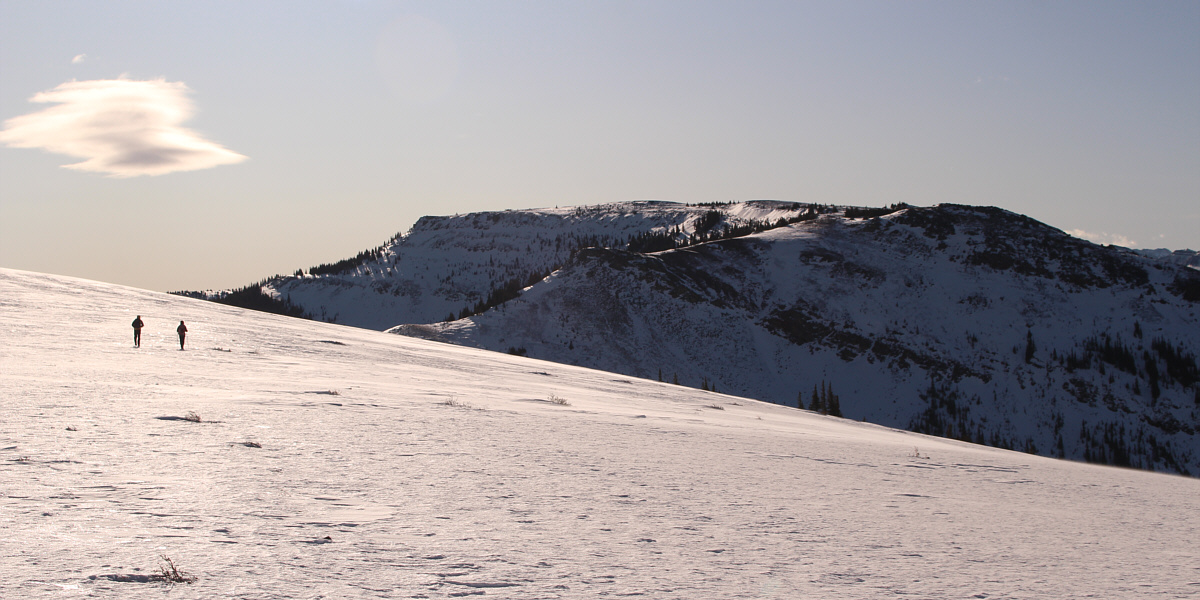
The climb up the north end of Forgetmenot
Ridge is quite steep, but the trail is well-defined and easy to follow at
least up to tree line. As Bob, Zosia and I approached the ridge
crest, we encountered more snow covering the trail, and we eventually
just abandoned it in favour of climbing straight up the slope. Once
we gained the ridge crest, we enjoyed some easy walking before arriving
at a slight dip and a prominent bluff. Steep, snow-covered slopes
here made tackling the bluff a bit more challenging, but we managed to
surmount this obstacle without any slips. Much of the remainder of
the ridge was covered in snow on this day, and while there were some
wind-blown sections that were supportive, we were often trudging through
wearisome ankle-deep powder. Occasionally, we would also punch
through the wind crust to find ourselves in a surprisingly deep pocket of
snow, or worse, we would bang our shins against hidden rocks at the same
time. Nevertheless, we still easily reached the top of Old
Forgetmenot after a bit of a plod, but we did not linger for long before
turning our attention to the real objective of the day--Forgetmenot
Mountain.
 |
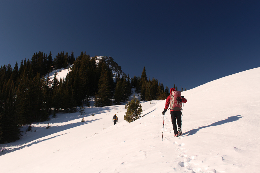
As Bob and Zosia climb high above the valley, views of Powder Face Ridge
open up to the north. |
 |
Zosia and Bob check out a rock-laden tree beside the trail. |
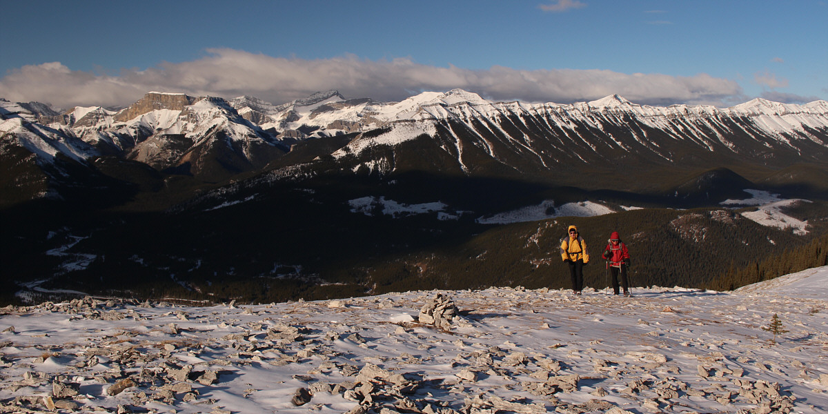
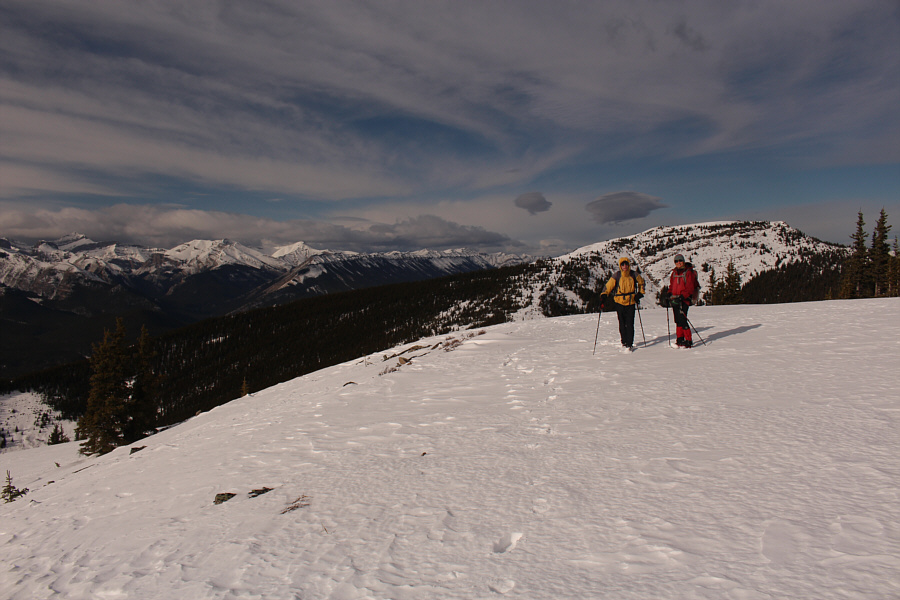
Bob and Zosia gain an open windswept ridge with views
of Mount Romulus, Mount Remus,
Fisher Peak,
Mount Fullerton,
Mount Howard and
Nihahi
Ridge.
 |
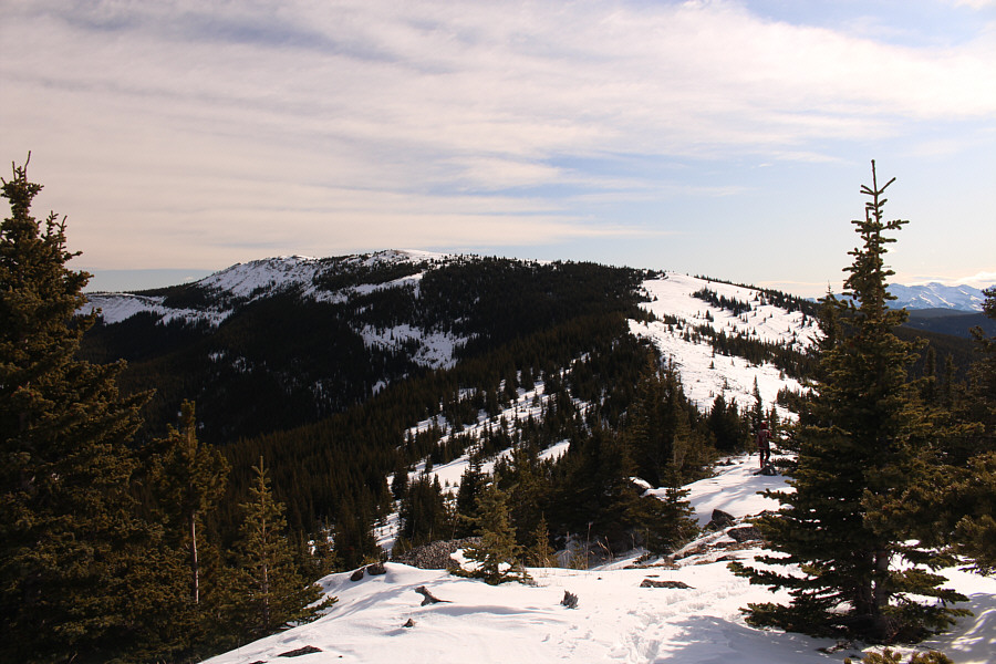
The snow-covered trail becomes harder to follow further along the ridge. |
Despite the lack of a trail, the route to the top of
Forgetmenot Ridge (Old Forgetmenot) is obvious.
 |
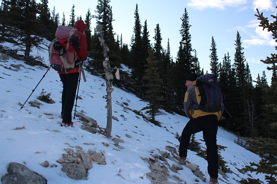
Bob and Zosia approach a prominent bluff along the ridge. |
 |
Zosia and Bob scramble up the bluff. |
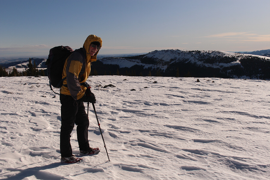 |
Bob stands on the high point of Old Forgetmenot (~2328 metres) with Forgetmenot Mountain visible in the distance. |
It can be a little disheartening to know that, from the top of Old
Forgetmenot, the summit of Forgetmenot Mountain is still three kilometres
away and getting there entails losing and then re-gaining about 140
metres of hard-won elevation. Given that the summit of Forgetmenot
Mountain is also slightly lower than Old Forgetmenot, it is easy to
understand why most hikers--our past selves included--probably do not
bother with the extension. That being said, Bob, Zosia and I had
plenty of gas left in the tank as we began descending into the big dip
along the connecting ridge between the two summits. Partway down
the big dip, we stopped for about twenty-five minutes to eat lunch before
continuing along the ridge. Much like the plod to the top of Old
Forgetmenot, the final approach to the summit of Forgetmenot Mountain is
a long and gentle climb, and including the lunch break, it took us about
an hour and forty-five minutes to traverse between the two summits.
We also went a little further east to tag a subsidiary bump before
returning to Forgetmenot Mountain's summit to snap a few requisite
photos. Facing the prospect of a lengthy hike back to the
trailhead, we were on the move again as soon as the last summit photo was
taken.
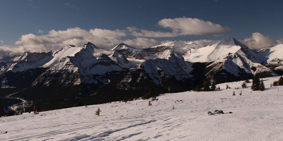
Here is the view of
Banded Peak,
Outlaw Peak,
Mount Cornwall
and Mount Glasgow from near the top of Old Forgetmenot.
 |
Zosia drops down a big dip along the connecting ridge to Forgetmenot Mountain. |
 |
Bob and Zosia pause briefly after climbing out of the big dip.
Behind them is Old Forgetmenot. |
 |
Bob and Zosia march along the broad west ridge of Forgetmenot Mountain. |
 |
Zosia joins Bob on a subsidiary bump to the east of Forgetmenot Mountain's
summit. |
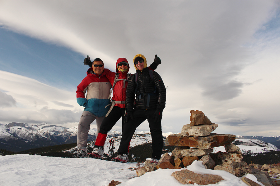 |
Sonny, Zosia and Bob stand on the summit of Forgetmenot Mountain
(2323 metres). |
For our return journey, Bob, Zosia and I essentially retraced our steps
all the way back across Old Forgetmenot and down the north end of
Forgetmenot Ridge. Dropping again into the big dip and climbing
over Old Forgetmenot was certainly soul-sucking, and descending the
prominent bluff along the ridge required some care due to the slippery
footing. Worst of all was the relentless wind which had been our
constant companion throughout the day but was now more like a really
annoying work colleague who just won't shut up! We felt some relief
when we finally regained the trail and descended into the shelter of the
forest lower down. Darkness was upon us by the time we re-crossed
the gravel flats of Big Elbow River, and we had some difficulty
navigating the maze of trails south of the suspension bridge. With
the help of my GPS device, we were able to get back on track and
eventually made it back to the parking lot without having to use our
headlamps. We later capped off a very long but rewarding day with a
celebratory dinner at PowderHorn Saloon in Bragg Creek. A big thank
you goes out to Bob for picking up the dinner tab!
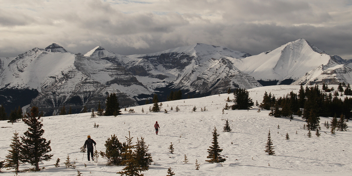
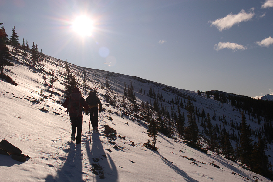
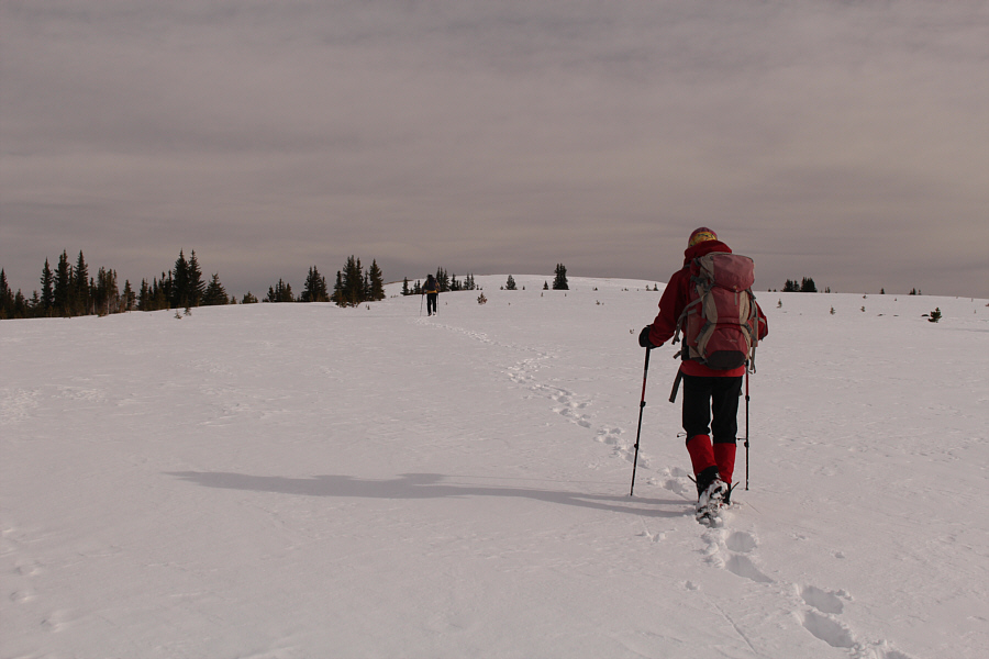
Bob and Zosia begin the long trek back to the
trailhead.
 |
Total
Distance: 22.6 kilometres
Round-Trip Time: 10 hours 53 minutes
Cumulative Elevation Gain: ~1100 metres
GPX Data |