BOU AVENUE
Piggy Minus

On 4 October 2020, Marta Heske, Wil Tabak, Zosia Zgolak and I paid a visit to the Mount Burstall-Piggy Plus col in Alberta's Peter Lougheed Provincial Park.  We were inspired by a recent trip report by Bob Spriko who, in turn, got the idea from Gillean Daffern.  I had previously visited the col in 2009 while en route to Piggy Plus, an unofficially-named peak that is described in Andrew Nugara's guidebook, More Scrambles in the Canadian Rockies.  Nugara has an interesting account of how he learned about the peak from a stranger named Jerry that he met on the trail in 2002.  Ironically, Jerry referred to the area as "Bob's Valley" after the person who had introduced it to him--presumably not Spirko unless it was his future self traveling back in time!  In 2009, I did not visit the knoll to the north that Daffern and Spirko subsequently climbed, and consequently, this provided some extra incentive for me to return.

Starting from Burstall Pass trailhead (west side of Smith-Dorrien/Spray Lakes Trail or SR742, 50 kilometres south of the junction with Three Sisters Drive in Canmore or 20 kilometres north of the junction with Kananaskis Lakes Trail), Marta, Wil, Zosia and I followed the wide Burstall Pass Trail for 3.3 kilometres before turning left at an unmarked junction.  We then climbed steeply up a well-defined trail which eventually winds through a mess of deadfall just before intersecting a creek.  Turning upstream, we followed the creek for another 550 metres to reach the bottom of a gully that Spirko ascended for a more direct approach to the aforementioned knoll than the one taken by Daffern.  Following in Spirko's footsteps, we abandoned the trail beside the creek and climbed up the same gully which, though steep, has fairly good footing.  Where the terrain levels out at the top of the gully, we scrambled up a short rock band and reached the top of the knoll shortly after.  The 360-degree panoramic view from the top of the knoll is jaw-dropping to say the least, and we even spotted a lone mountain goat in the distance on the connecting ridge to Piggy Plus.  Since both Daffern and Spirko neglected to name the knoll, I have taken the liberty to call it "Piggy Minus".

Dropping down the south side of Piggy Minus, Marta, Wil, Zosia and I stopped for a brief lunch before resuming our trek toward the Mount Burstall-Piggy Plus col.  The intervening terrain is open and easy to navigate, and a beaten path simplifies the climb up the final rubble slope before the col.  At this point, the weather was beginning to turn for the worse, but we still climbed a short way up the south ridge of Mount Burstall before rain chased us back down into the valley.  Following the creek out the valley, we had to circumvent a couple of snow patches along the way, but otherwise, the descent was fairly straightforward.  We eventually regained the trail we had come up, and the remainder of the hike back to the trailhead was uneventful.
We're off to a good start...just before 10 AM! 
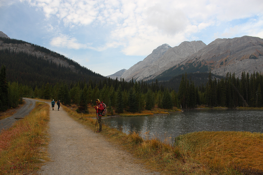
The group passes Mud Lake at the start of the hike.
The cairn I built here 11 years ago is obviously gone! 
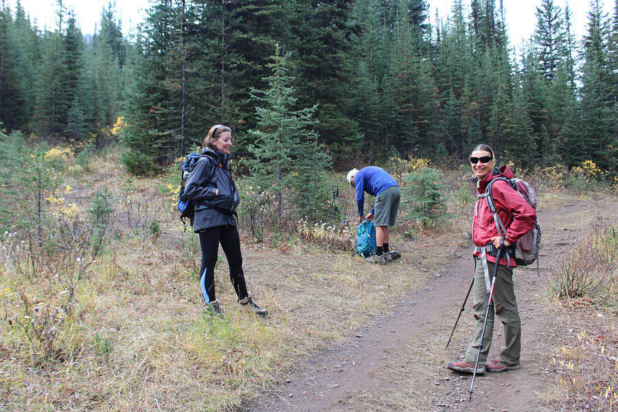
The turnoff along Burstall Pass Trail is unmarked and easy to miss.
The trail gains about 120 metres over half a kilometre. 
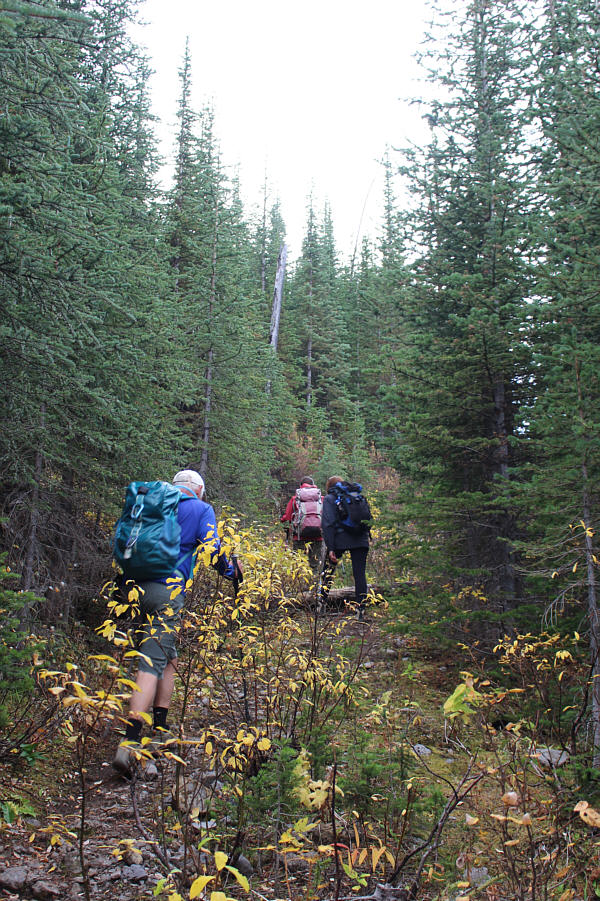
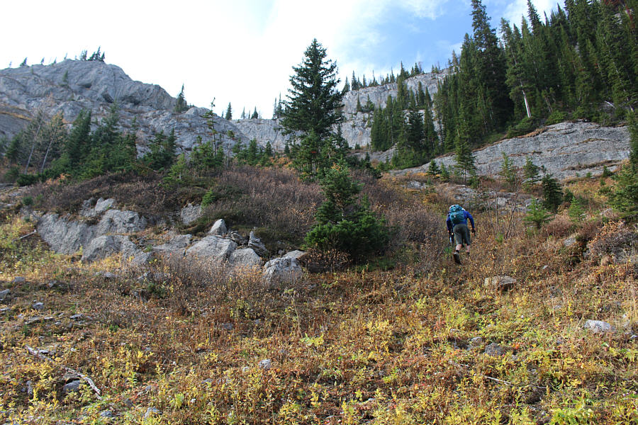
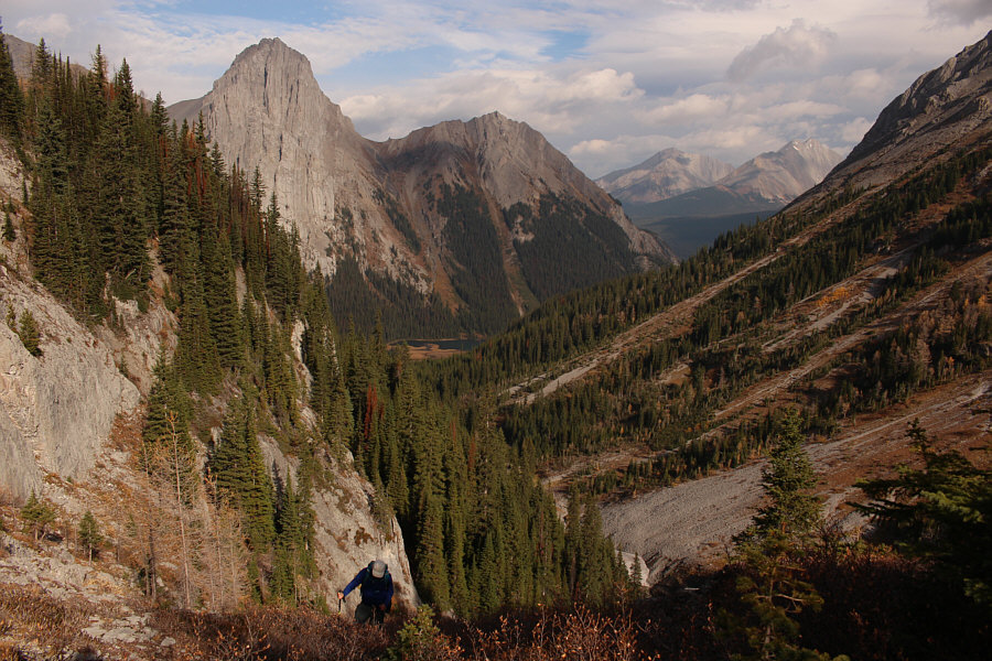
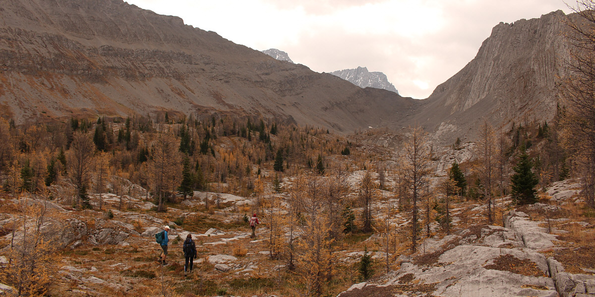
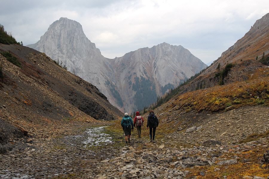
The climb up the valley is initially quite steep.
This is possibly a permanent snow patch. 
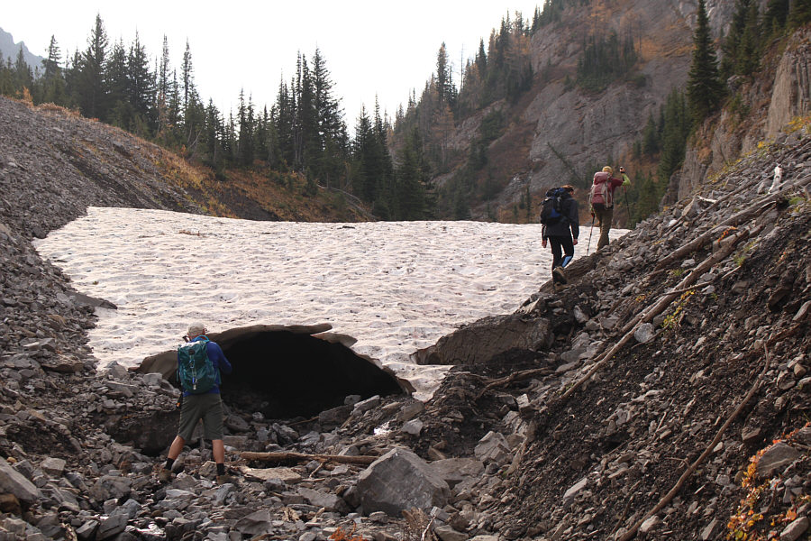
The group circumvents a snow patch spanning the creek bed.
Can you spot them? 
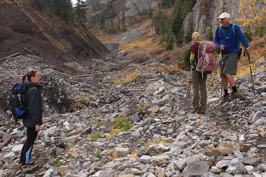
The group is intrigued by something in the creek bed.
Birdy num num. 
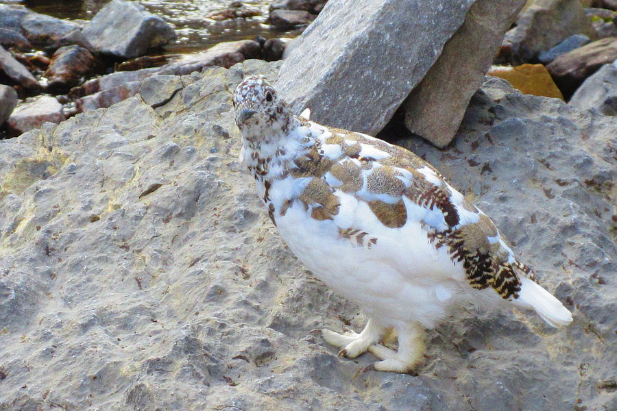
This is one of five ptarmigans wandering in the creek bed.

Photo courtesy of Zosia Zgolak

It's a steep grind but not too difficult. 
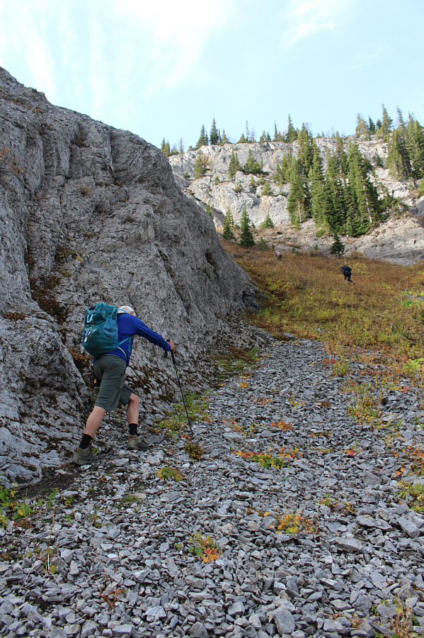
Wil leaves the creek to ascend a steep gully which is the most direct route to Piggy Minus.
Did I mention that it was steep? 
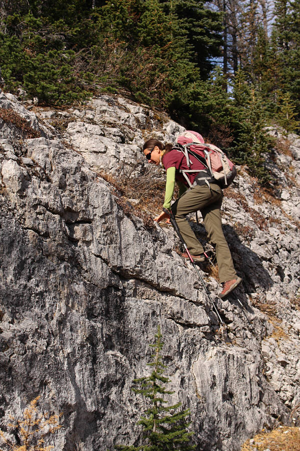
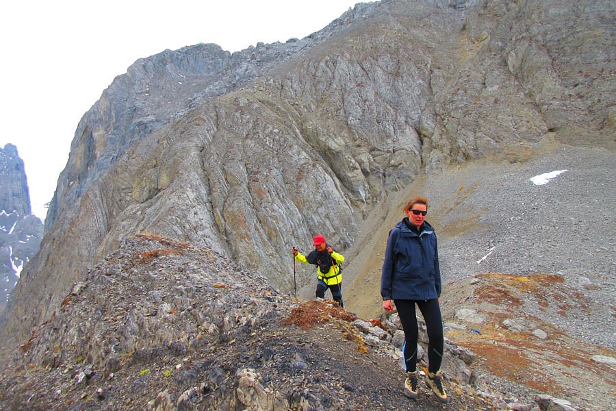
Wil hugs a cliff face while following Zosia and Marta up the gully.
Almost there, Wil! 
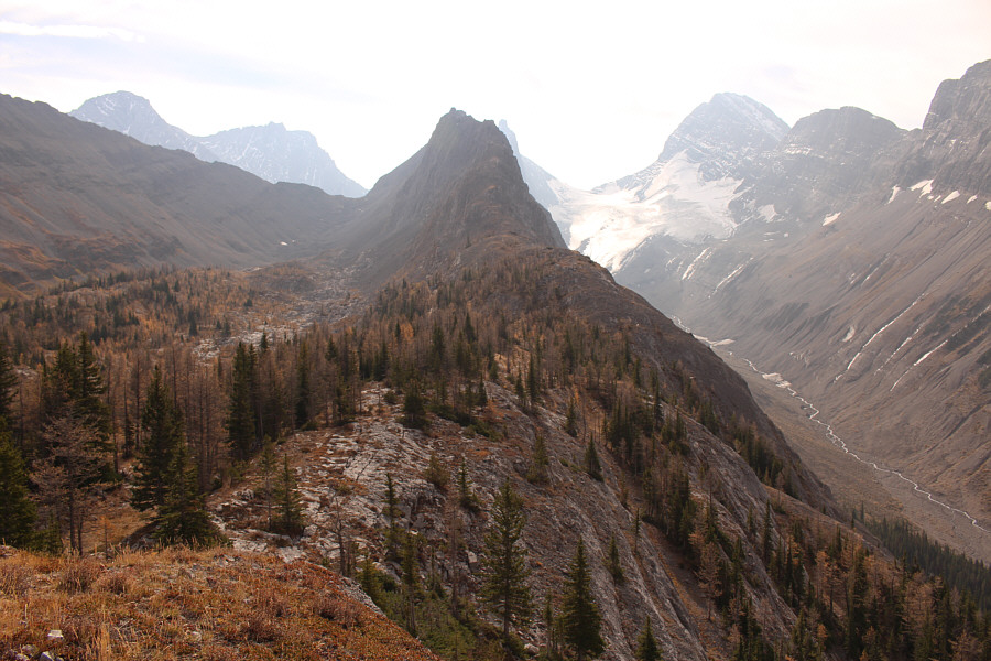
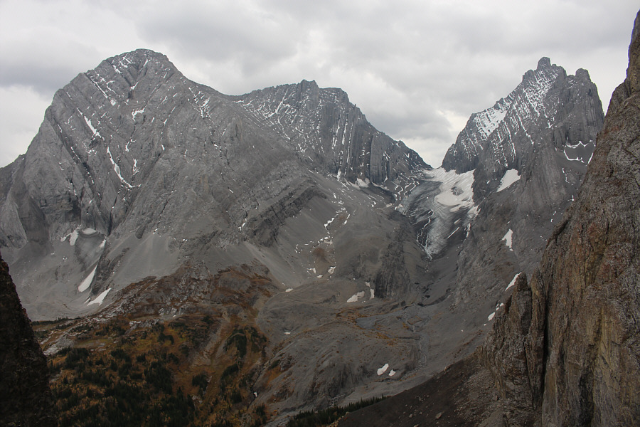
Looking back near the top of the gully, there are views of Commonwealth Peak (left), Commonwealth Ridge (centre), Mount Engadine (left peak through the gap), and The Tower (right peak through the gap).
No problemo! Zosia scrambles up a short rock band not far below the top of Piggy Minus.

Mount Birdwood is one sexy mountain!

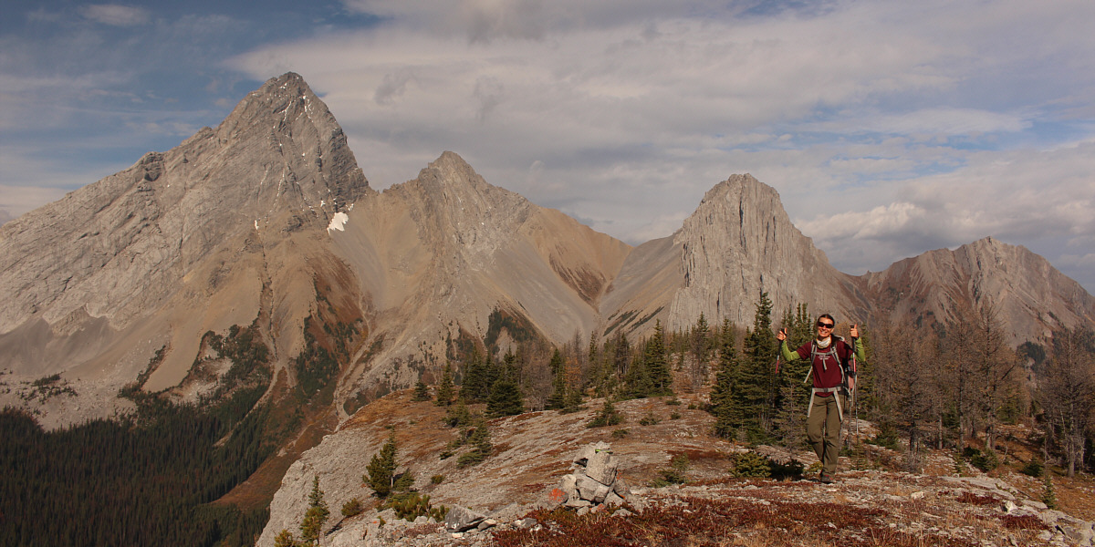
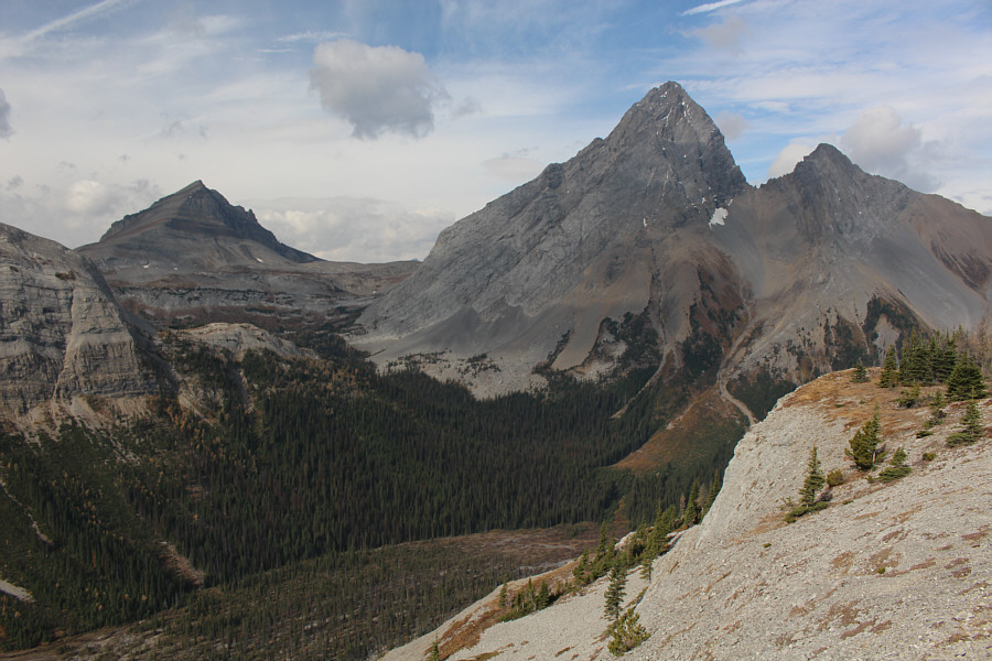
The view north of Piggy Minus includes Mount Birdwood, Pig's Tail, Commonwealth Peak, and Commonwealth Ridge.


Hey, it took some effort to get here, so I'm calling this a summit! 
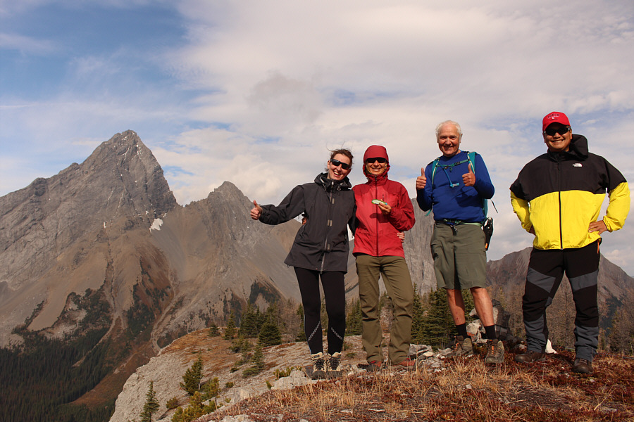
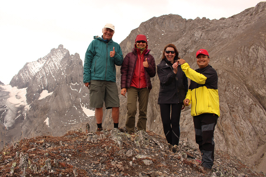
Marta, Zosia, Wil and Sonny stand on the summit of Piggy Minus (2328 metres).
Can you spot the mountain goat from here? To the south, the Mount Burstall-Piggy Plus col is visible to the left of Piggy Plus.  Robertson Glacier and Mount Sir Douglas are to the right.
Goat:  Hmmm...tourists! 
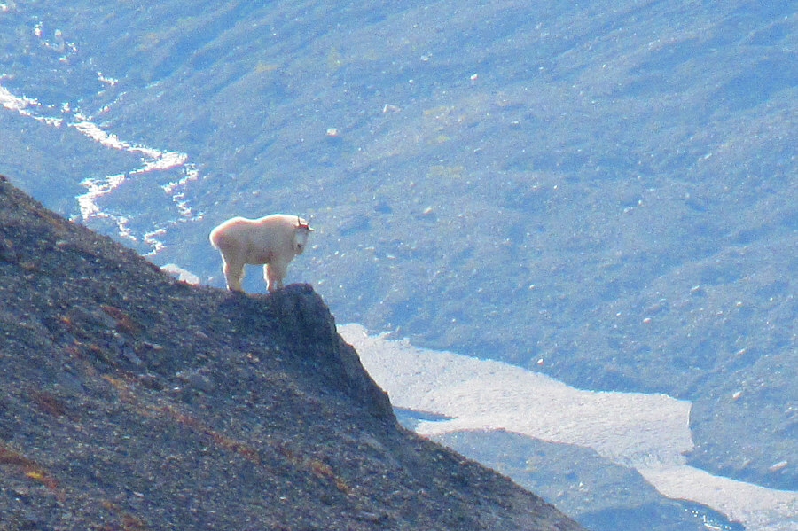
A lone mountain goat takes notice of some strange two-legged animals on top of Piggy Minus.

Photo courtesy of Zosia Zgolak

I climbed Snow Peak only 12 days after Piggy Plus in 2009. In addition to Mount Birdwood and Pig's Tail, Snow Peak (left) can be seen in this view to the northwest.
Not a fossil! 
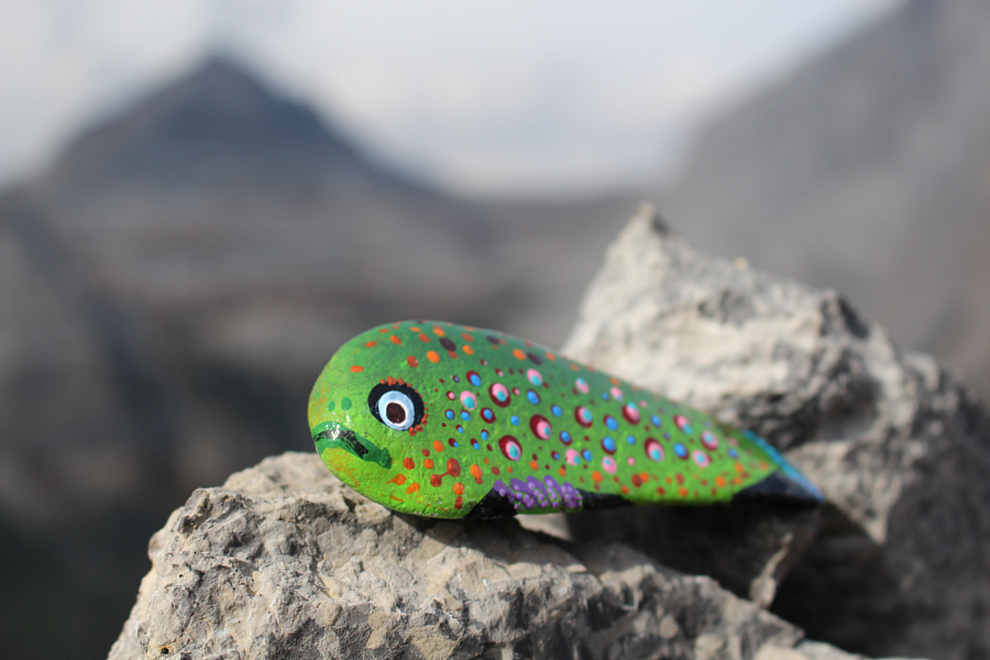
The summit cairn of Piggy Minus harbours an interesting inhabitant.

This is Bob's Valley!

The group heads across easy terrain aiming for the col.


No scree bashing needed! 
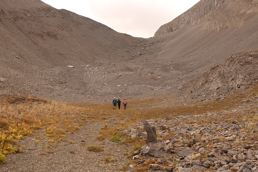
The group approaches the final rubble slope before the col.
Hmmm...don't know if I'll ever get to the other two peaks that I haven't done yet... 
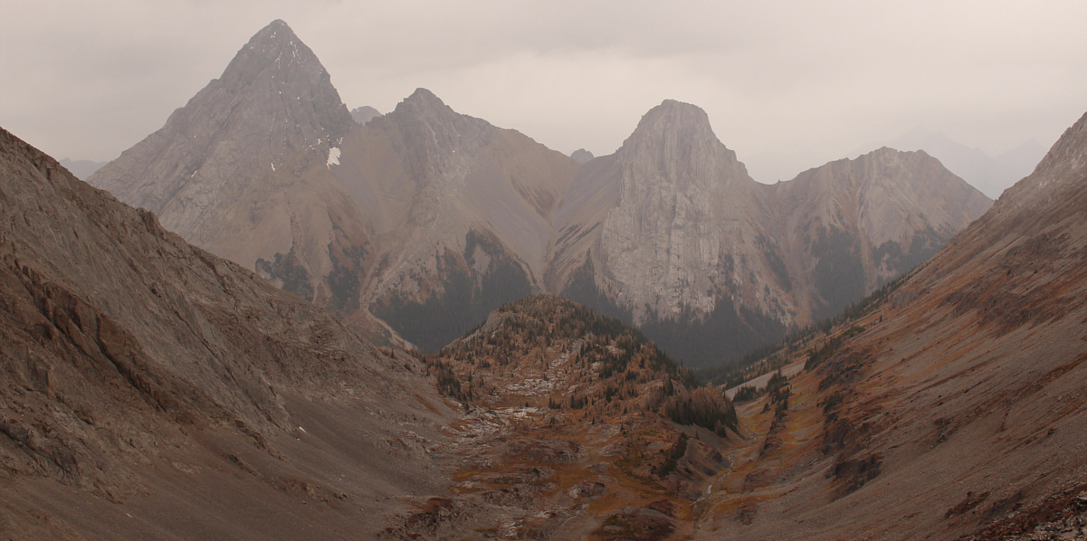
The view south of the col includes Prairie Lookout (left), Mount French (centre), and Mount Robertson (right).
There's a scramble route there?? Sonny and Marta climb up the east side of the col.  The start of the scramble route for Piggy Plus can be seen at upper right.

Photo courtesy of Zosia Zgolak

Oink, oink! Wil, Zosia, Marta and Sonny reach their high point of the day (2518 metres) just east of the Mount Burstall-Piggy Plus col.
It's been over 20 years since I set foot on those peaks! Cegnfs and Mount Murray sit to the east.

Piggy Minus definitely looks like a separate summit here!

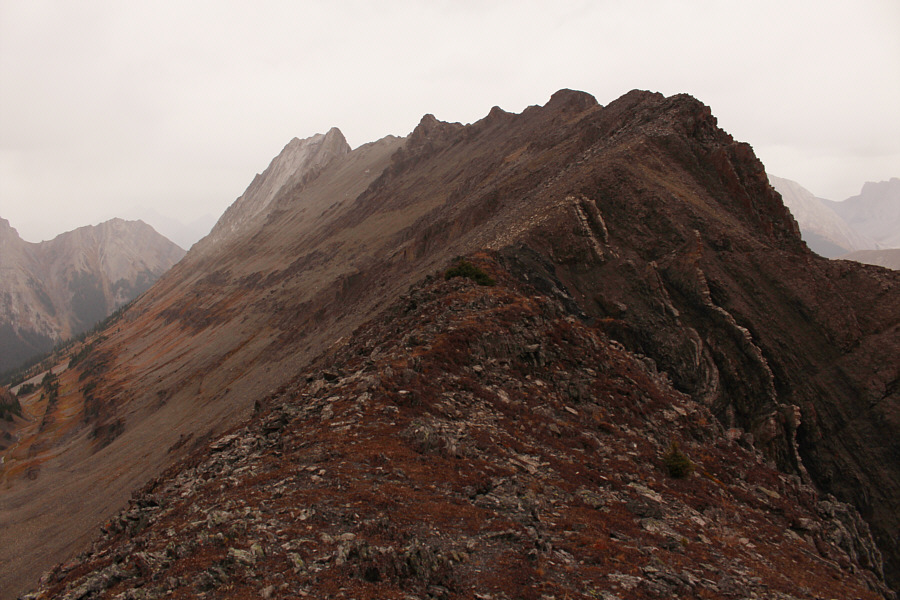
From the col, this is looking back north at Piggy Minus (centre) and the now-familiar backdrop of Mount Birdwood, Pig's Tail, Commonwealth Peak, and Commonwealth Ridge.


This is NOT the Kane scramble route for Mount Burstall! 
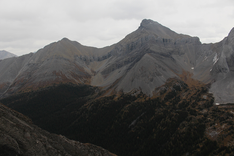
This is the south ridge of Mount Burstall (left).
No nonsense here--just stick with the creek! Wil, Zosia and Marta follow the creek out the valley.
Is Wil gonna go into the snow tunnel? 
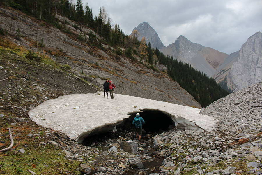
On the way out, the group runs into another large snow patch spanning the creek bed.
Hmmm...should I be telling Wil to move toward the light? 
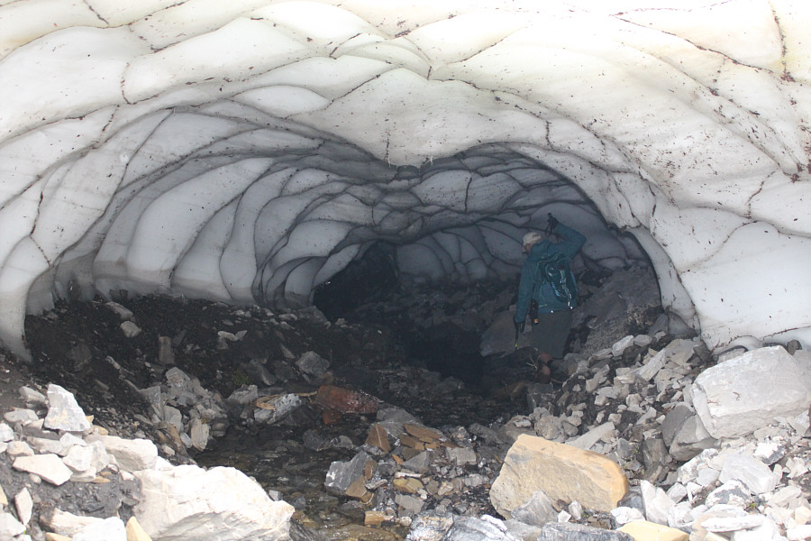
Wil bravely ventures into a tunnel under the snow patch.
I can't say that I recommend or endorse Wil's route, but he made it! 
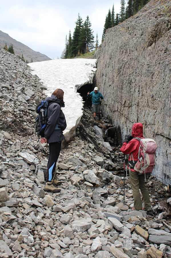
Marta and Zosia look incredulously at Wil as he emerges from the other end of the tunnel under the snow patch.
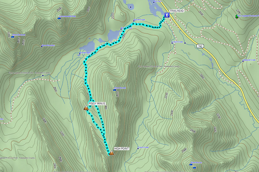
One of Kananaskis Country's best-kept secrets but maybe not for long! Total Distance:  14.3 kilometres
Round-Trip Time:  6 hours 21 minutes
Cumulative Elevation Gain:  720 metres

GPX Data